Catching up on the first five months of our Ultimate American Road Trip, being serialized in The Independent
Keen readers of our road-trip blog will know we are also serializing the whole trip, month by month, in The Independent newspaper in the UK, and you might like to see the story so far, Months 1 through 5.
It all started back on May 14 with our departure from Orlando and then a month heading north as far as Minnesota…
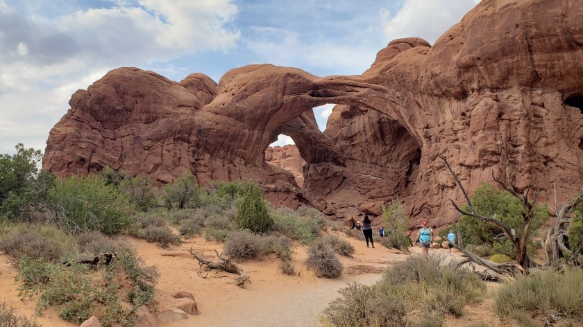
After arriving in Montana, Part Three of our year-long epic saw us focus on Yellowstone National Park and Glacier National Park for two of the undoubted highlights of the trip…
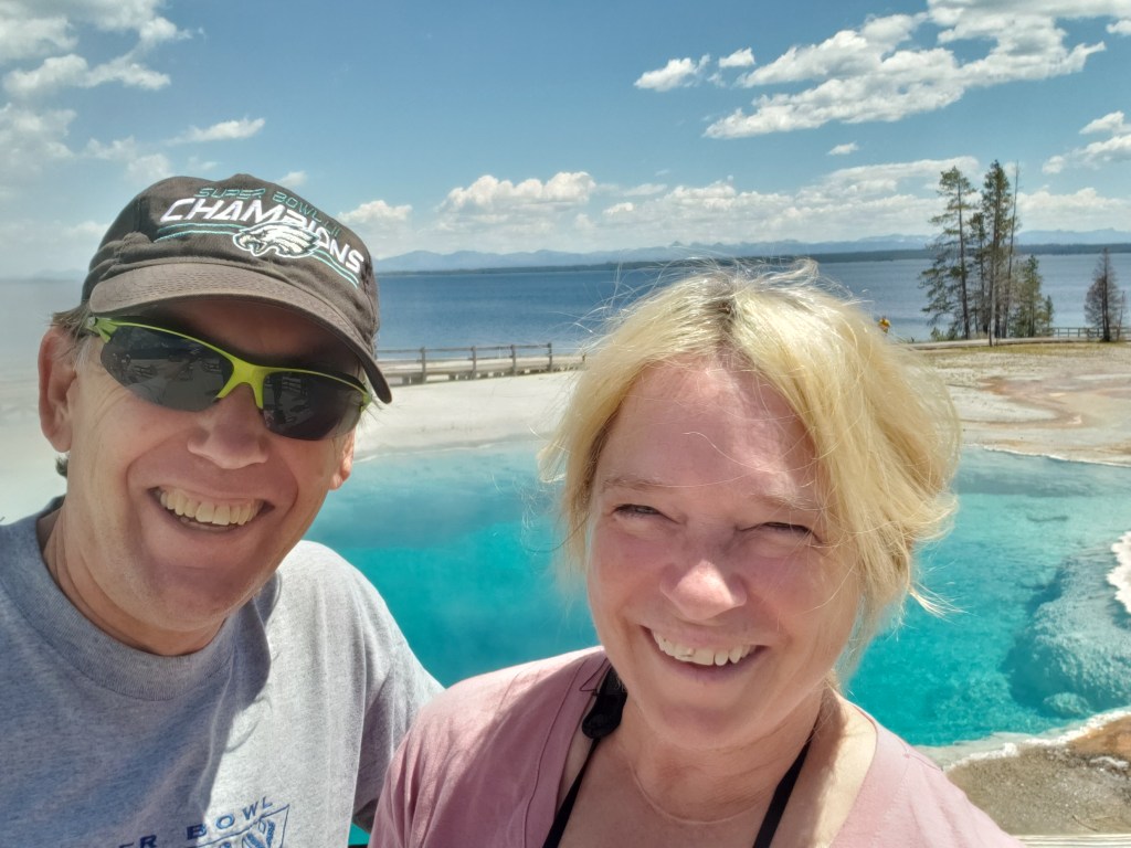
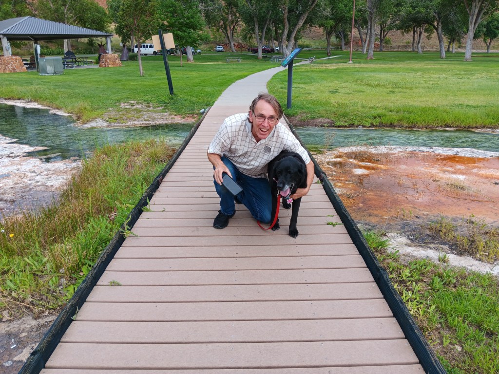
Taking time for the geothermal marvel of West Thumb Geyser Basin in Yellowstone
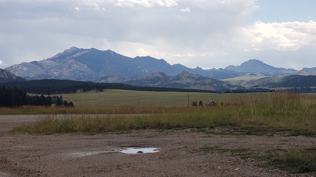
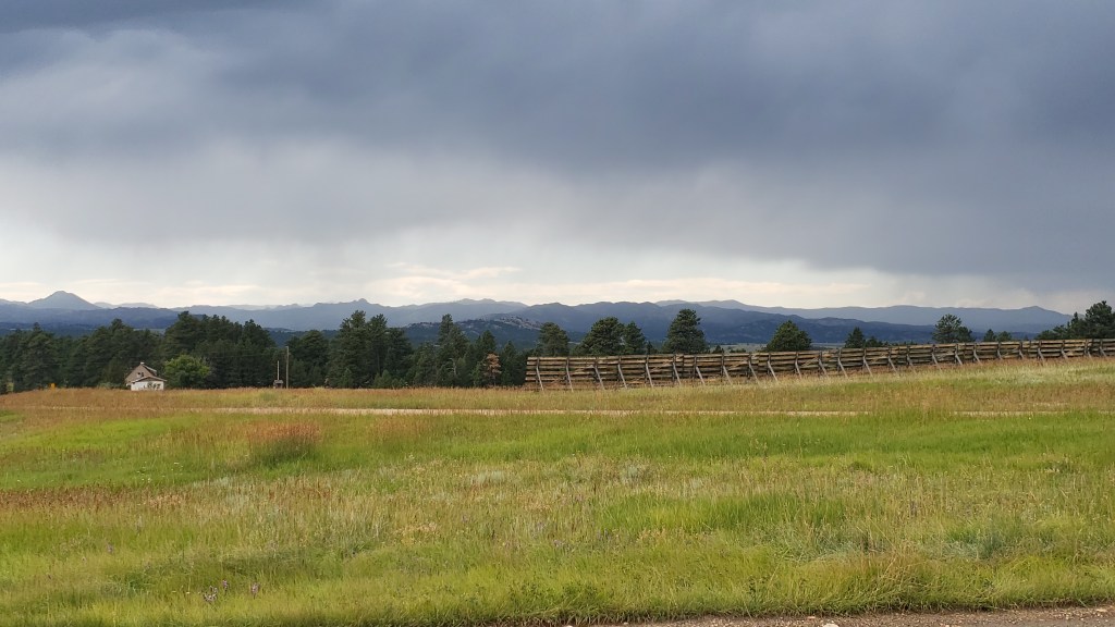
Continuing our exclusive series for The Independent, here is the fourth instalment of our Great American Road Trip, charting the scenic splendors of Montana and Wyoming, and the history that underpins them.
Month 4 of our year-on-the road RV adventure took us from Glacier National Park in northwest Montana to the Wyoming-Idah0 border via a wealth of small towns, vibrant wildlife, epic countryside and historic counterpoints. You can read it on this link to the Indy’s Travel section.
We had two days left in Wyoming before heading into a brand-new state for Simon, and we were determined to end our time in the state of never-ending surprises on a high note. Little did we know how high we’d get!
Not THAT kind of high; this isn’t Colorado. But our final day’s trip did end with a long, long, drive at nearly 10,000 feet, with plenty of steep drop-offs, long ascents and descents, roads slick from the rain, and not a guardrail in sight.
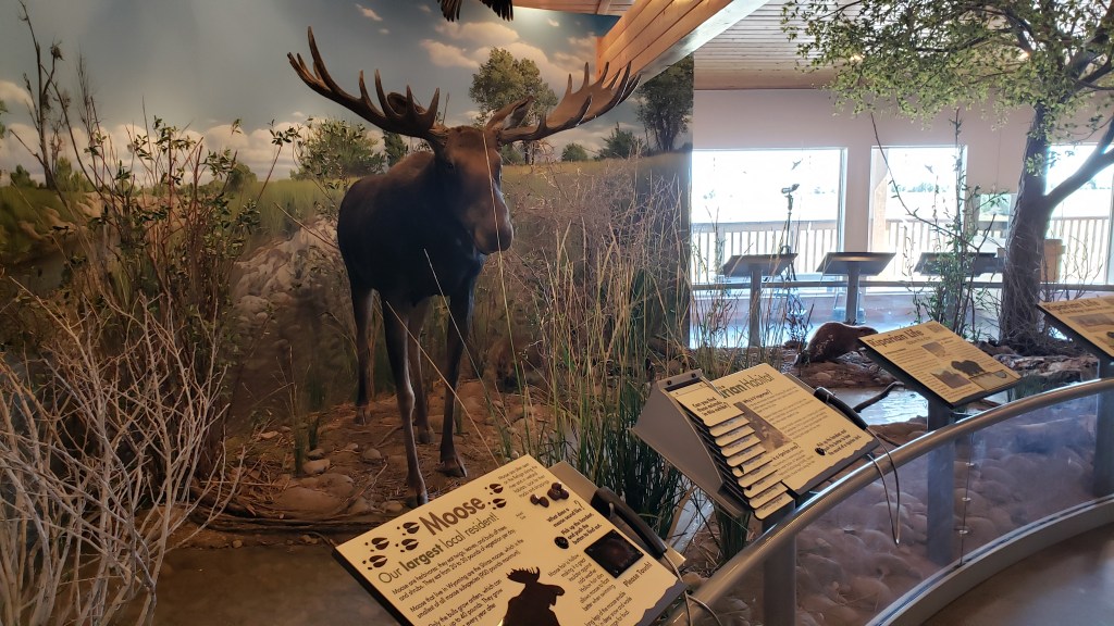
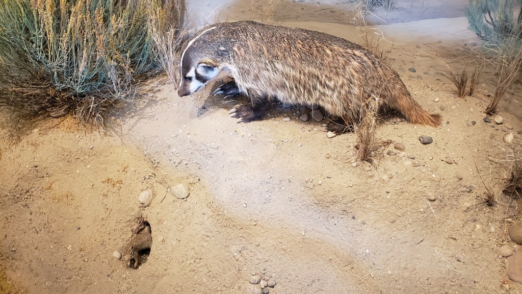
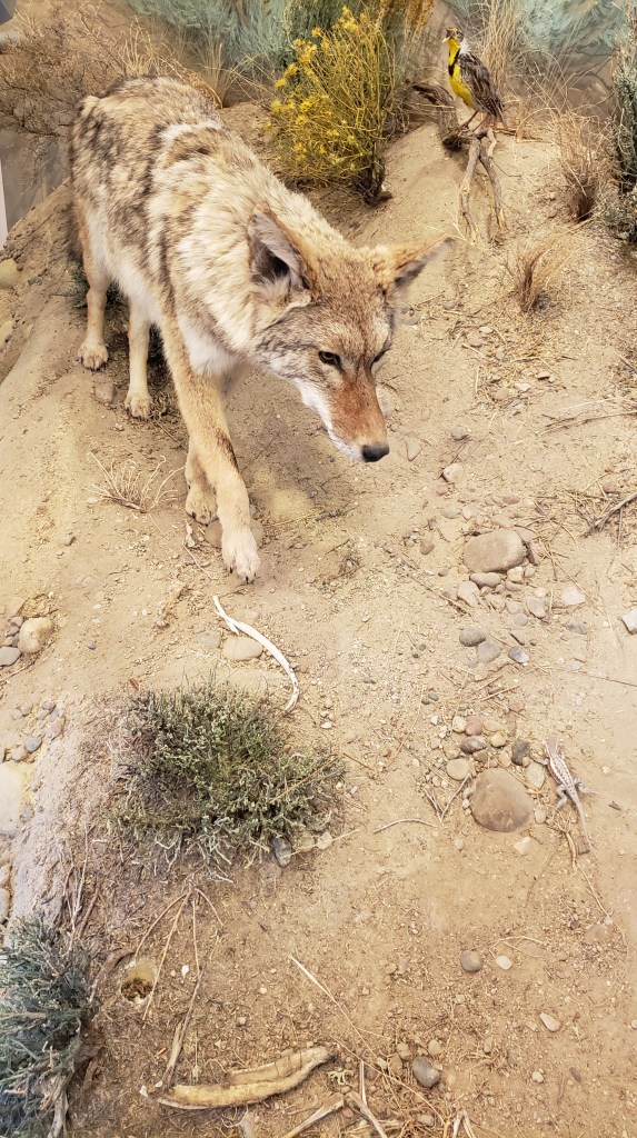
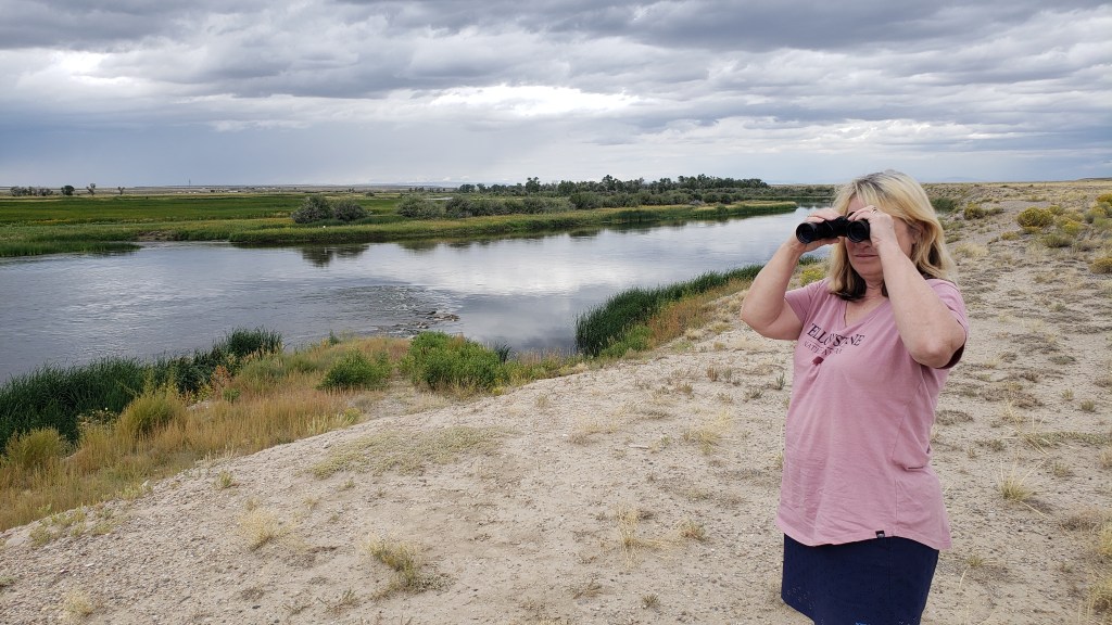
Let’s forget about that part and start with the drive we took out to the Seedskadee National Wildlife Refuge, with its tongue-twister of a name and its wonderful visitor center. The refuge claims to have more than 300 species of birds, mammals, and fish, some of which are taxidermized and on display so you get excited about what awaits.
We saw exactly two eagles, a couple of trumpeter swans, one grouse, and a small handful of kangaroo rats (more appealingly called “gerbils” when you buy them at a pet shop). No moose, no coyote, no rabbits, no badgers, over the course of three passes along the main wildlife road (two during the day, one near dusk).
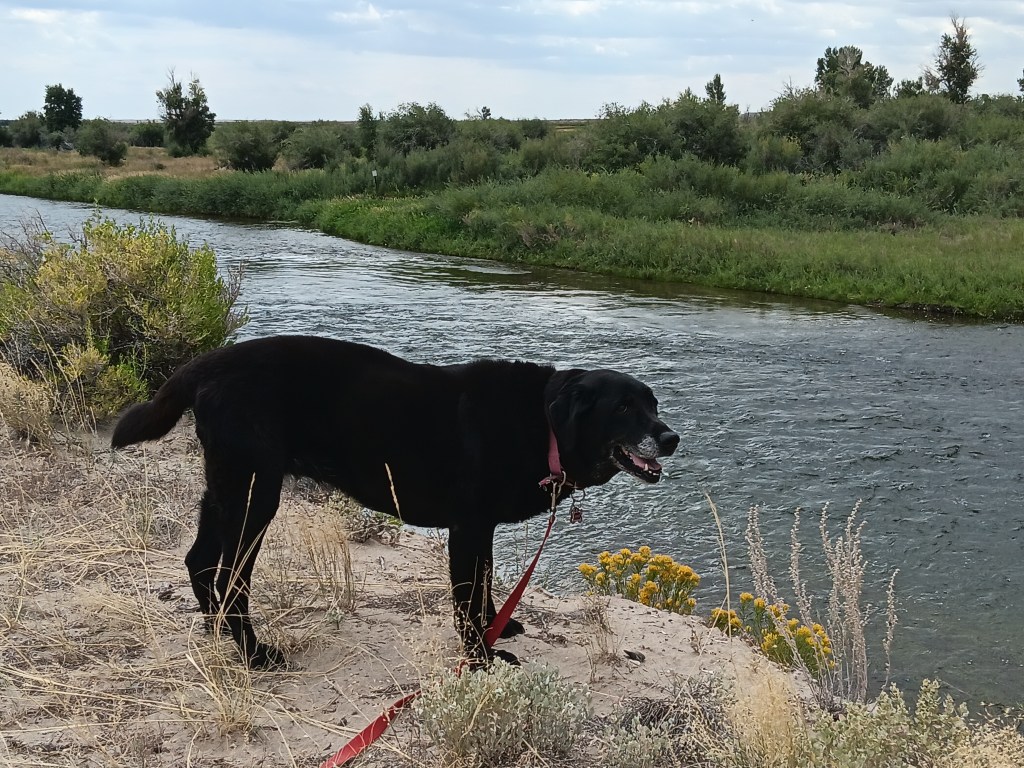
Ruthie found plenty to sniff, so she was happy.
It may have been just a bit windy.
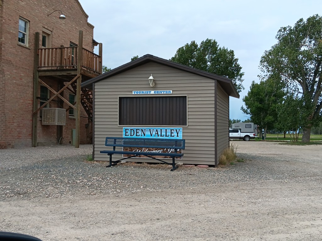
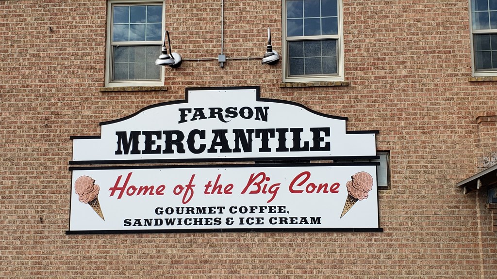
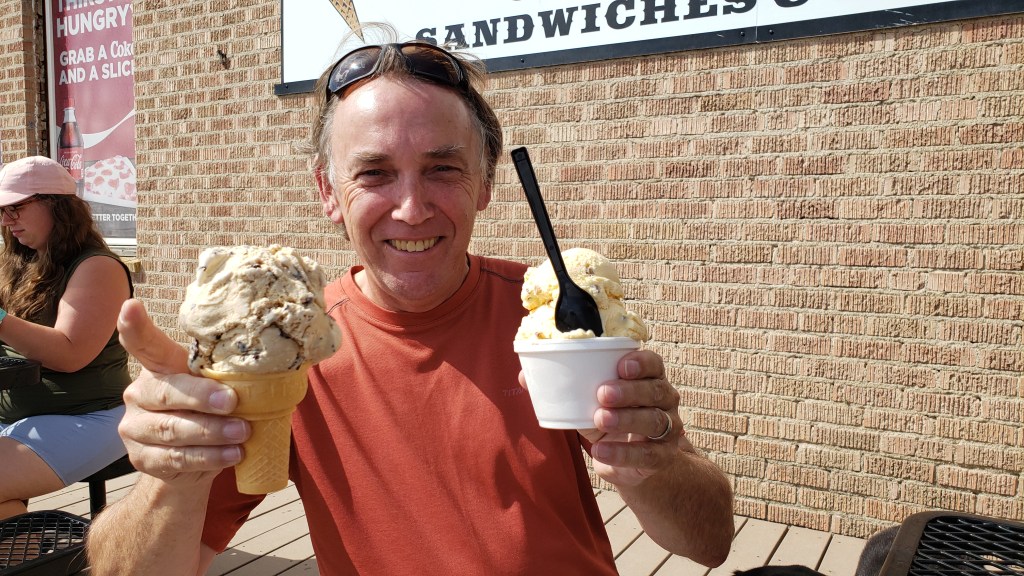
After getting skunked (not by a skunk) during our first pass in mid-afternoon, we decided to head into Farson, where the visitor center guy told us we’d find the “best ice cream,” and a single-serving would be “enormous.”
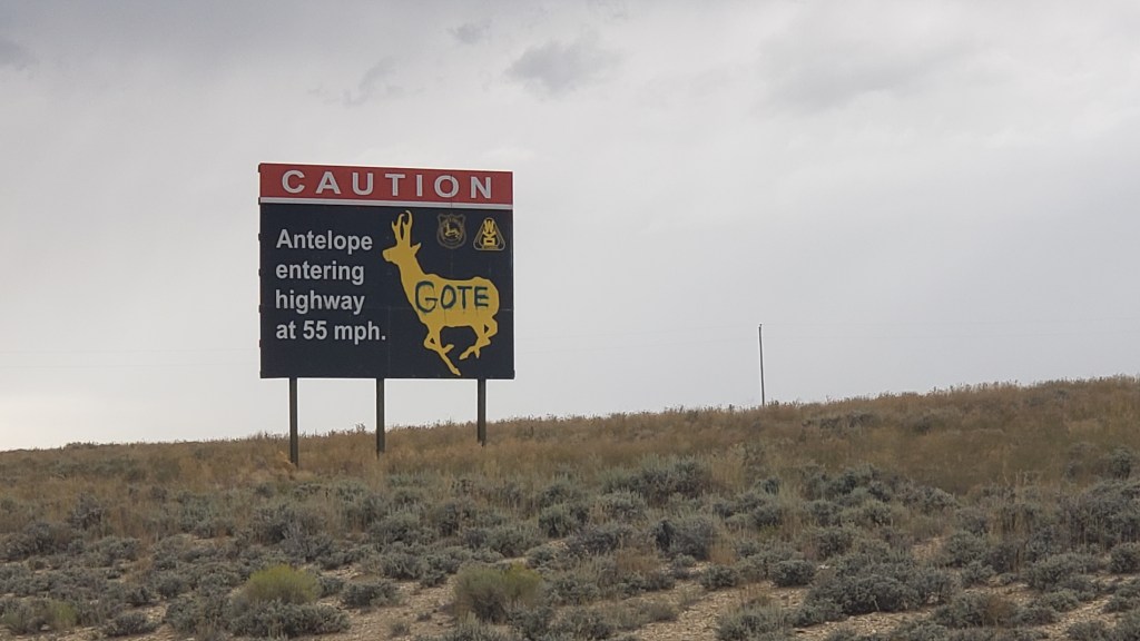
We saw lots of wacky signs warning of local dangers, such as cows and speedy “antelope,” (which aren’t antelope at all, they’re pronghorn, but that’s an argument for another day).
Farson’s Visitor Center, right next to the only other thing in town, the Mercantile, with its big ice cream cones.
He wasn’t wrong. The place was hopping, and everyone was buying ice cream. We split a sandwich first, having skipped breakfast, and judging by the outrageous size of the ice creams we saw coming out of the building, we both opted for the Baby Scoop.
Turns out, that’s what nearly everyone else had, too.
Simon originally asked for a Single, but when the girl scooping it up started to mound a second massive scoop on top of the first massive scoop, he balked, and retreated to Baby Scoop.
Susan ate less than half of hers, Simon powered through his, and we spent a happy hour talking to the locals who joined us on the patio. One was a rancher having a treat with his grandson, and he told us all about his farm, and how he’d never been to Florida because he had no desire to “go to the other side of the world.” All the people we met were just passing through the tiny town, but insisted you “have to stop for an ice cream” when you’re here.
Our return trip to the wildlife refuge had the disadvantage of being right after a big rainstorm, and we were right in thinking we’d see less wildlife (meaning, none) because of it.
Lots and lots of looking, but not a lot of seeing.
Somewhere along the wildlife road we also missed our turn-off to the highway, and as darkness began to threaten, we had a choice to make. There had been no obvious roads turning off the wildlife road, so should we push on? Or should we go with a sure thing and make the many-miles trip back along the road we already knew would lead out of the refuge?
This is pretty much what we saw most of the way.
In this instance, we chose to backtrack, mainly because we’d passed a wreck of an RV that was camped on the side of the road, its owners were probably packing heat, and we’d be held captive if we didn’t get out before dark, since we’d been told the DNR closes the gates shortly after dusk.
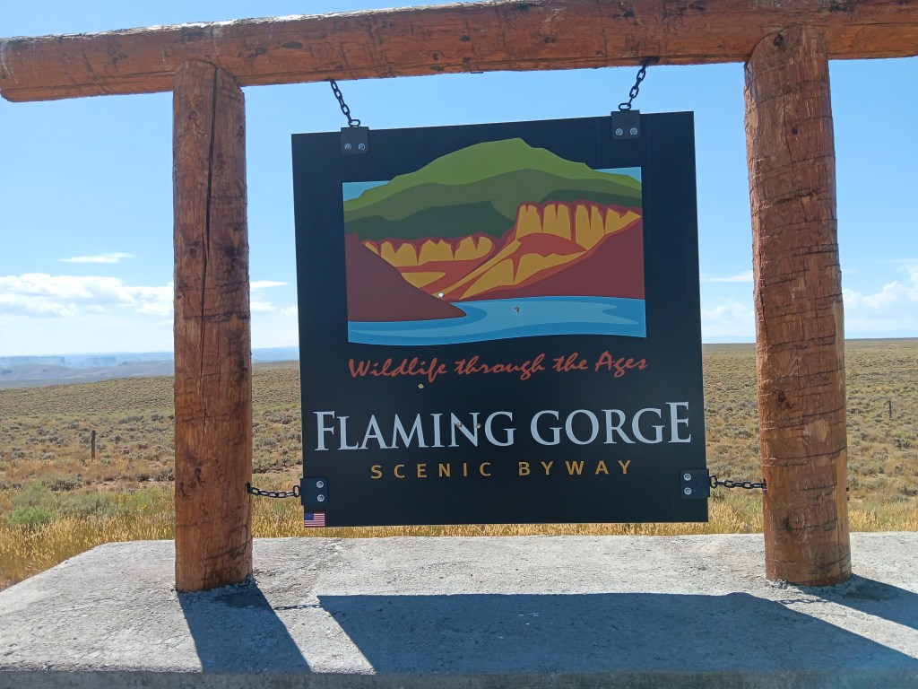
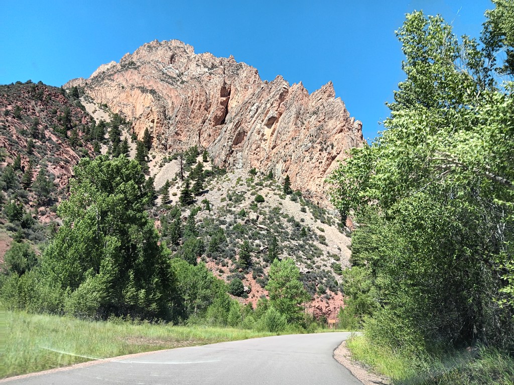
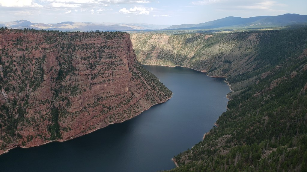
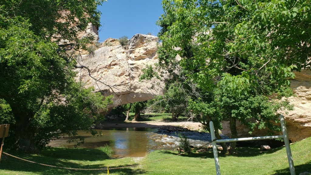
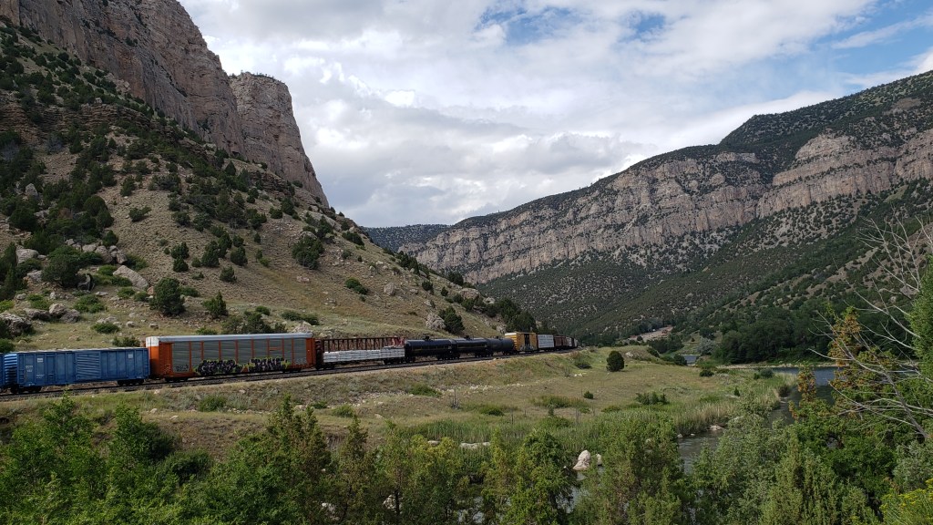
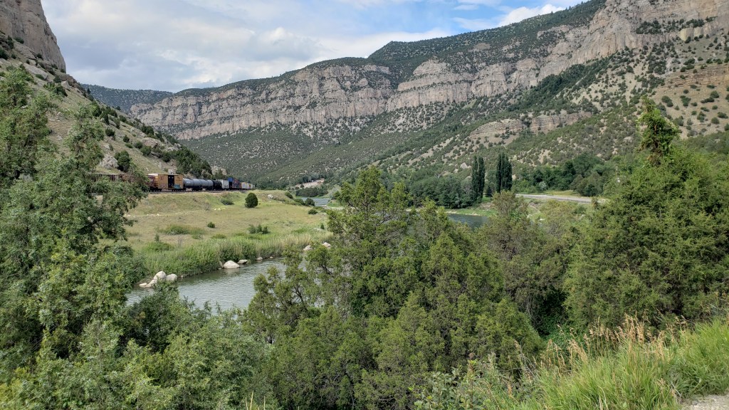
The next day made up for any small disappointment we’d had, as we pointed Nippy south out of Wyoming and into the Flaming Gorge in northern Utah.
I’m a bit tired as I type this, both of us having been awake most of the night with a big thunderstorm and an antsy dog, so we’re going photo-heavy here, with captions that will do most of the work for me.
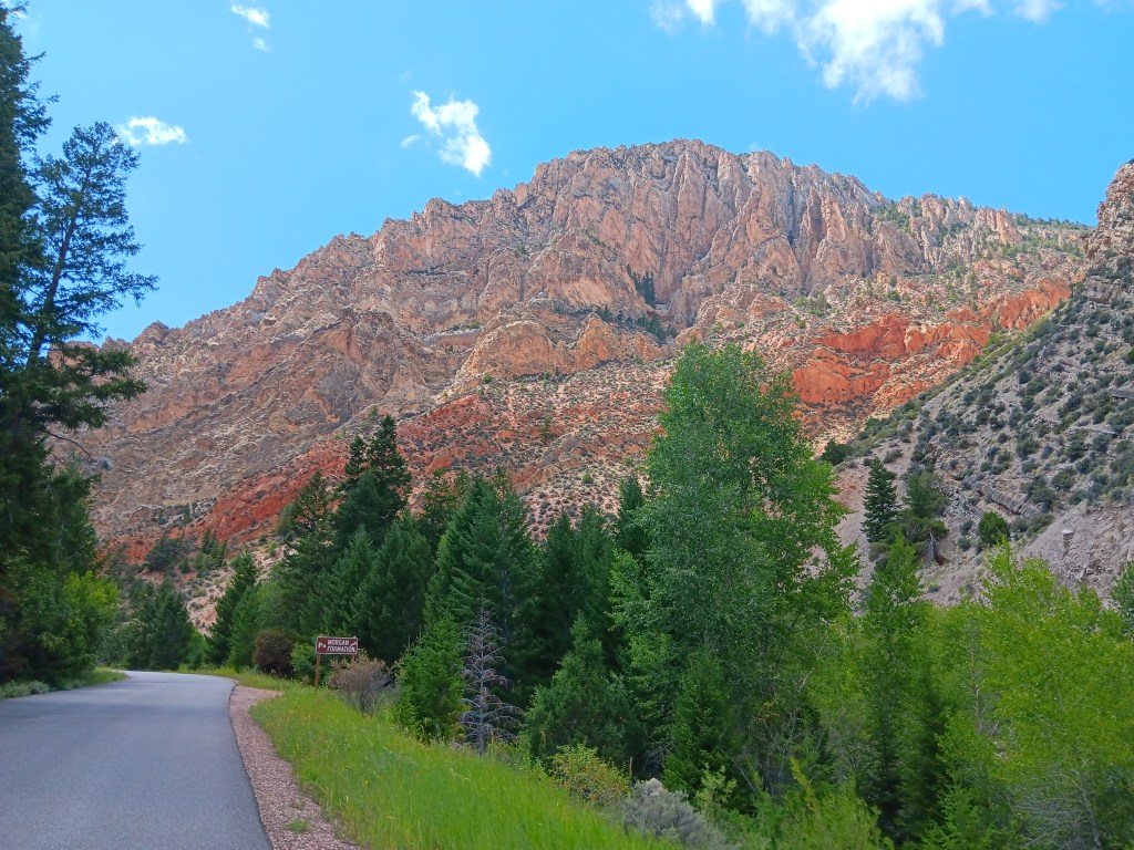
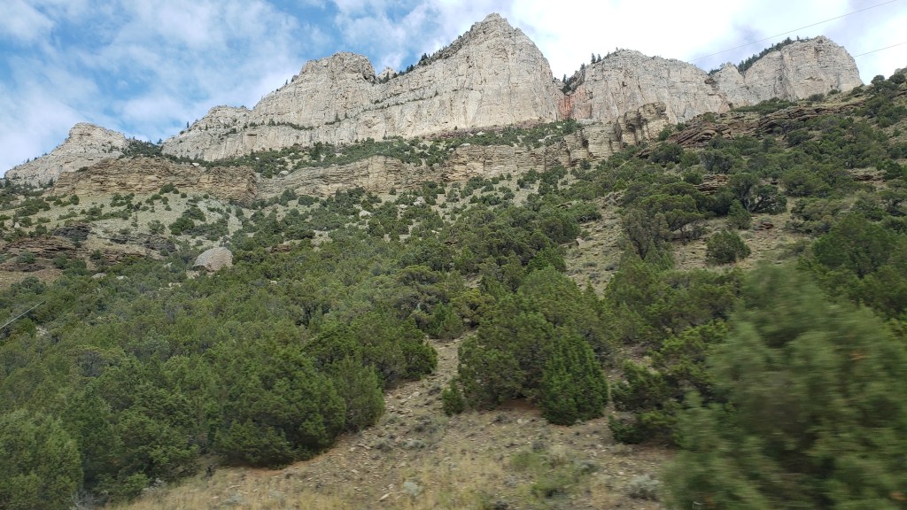
I’m putting this photo here first, and I’ll use it as a reference for how BIG the mountains we passed were, and how high the canyons walls were. This is nothing more than a large mound of rock, hardly worth noticing, but it gives you an idea of size.
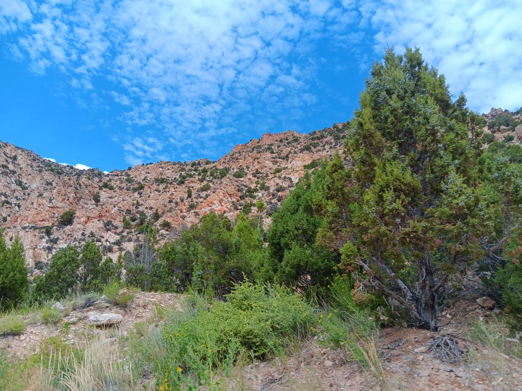
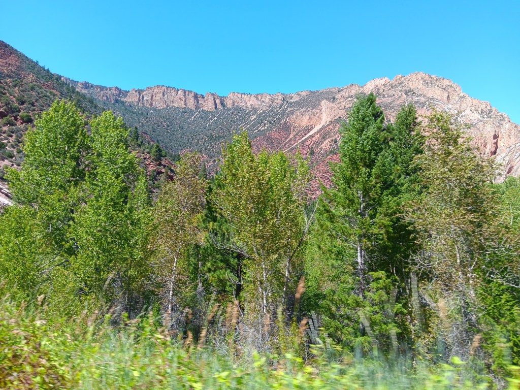
On our way through Flaming Gorge National Recreation Area, we detoured down a road that led to the Sheep Creek Canyon Geological Area, a name that intrigued us, and we’re so glad it did. It turned out to be in our Top Two of astounding canyons.
It started slowly, but even so, that boulder with Nippy in front of it is about the size of a single rock at the top of this mountain.
You wouldn’t be able to see the boulder without binoculars if it were at the top of this mountain. It would just be too small.
A creek ran alongside the geological loop throughout our entire drive.
“How cool and babbling and refreshing on this hot summer’s day! Too bad I hate water so much.”
The tiny points at the top of this massive, massive mountain are enormous pine trees.
The smallest rocks sticking up at the top of this mountain – whose structure looks like it was bent in on itself – are about the size of the boulder.
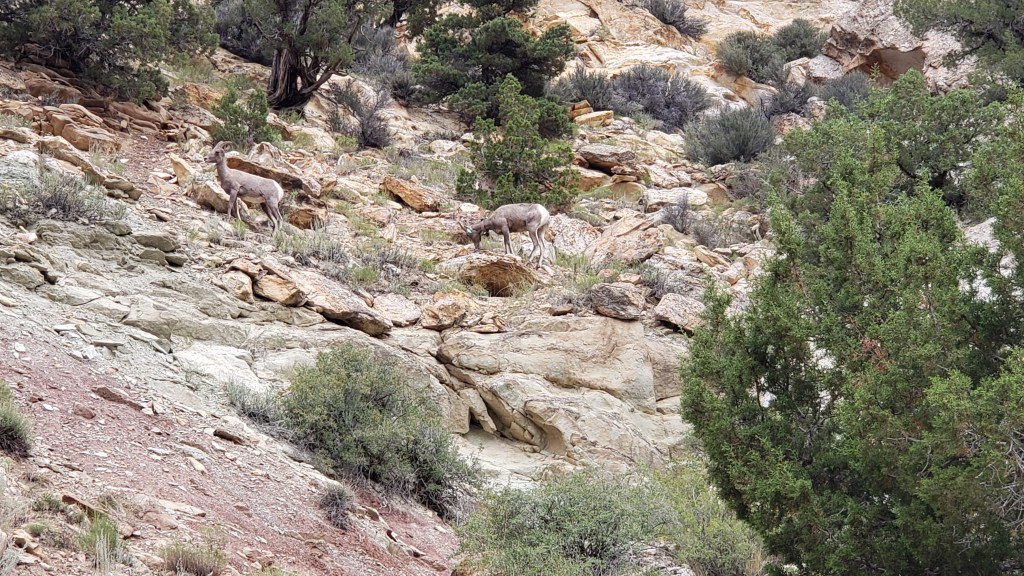
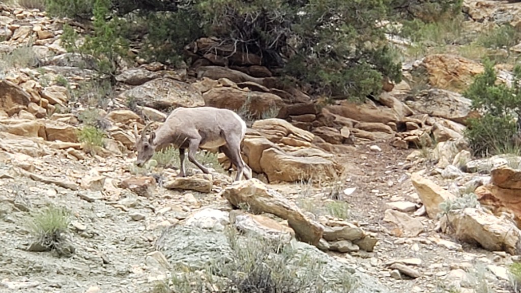
We took hundreds of mountain photos, as you can imagine, but we’ll stop there. Instead, enjoy these two Bighorn Sheep, who blend into the landscape so well it was surprising we saw them at all.
This is without zooming in. You can JUST make out their white butts below the trees in the middle of the photo. That’s how hard they are to see.
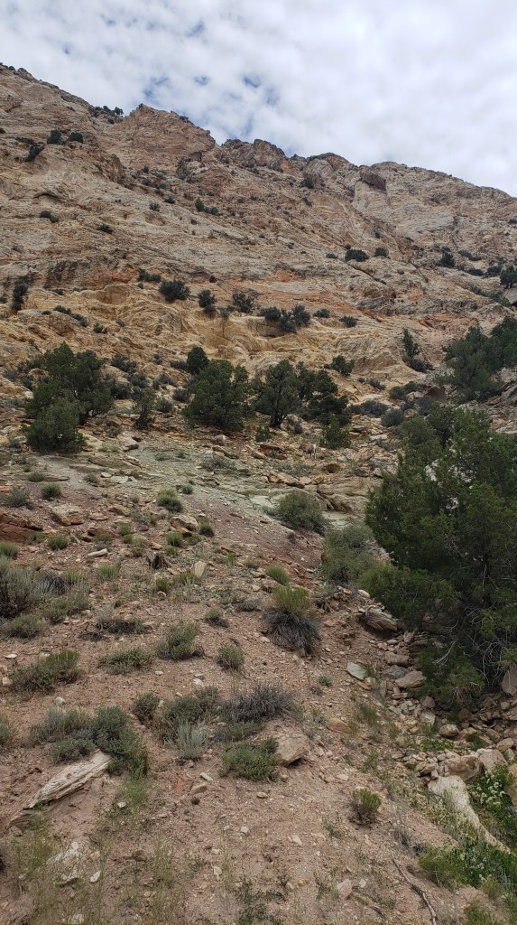
This is zoomed WAY in.
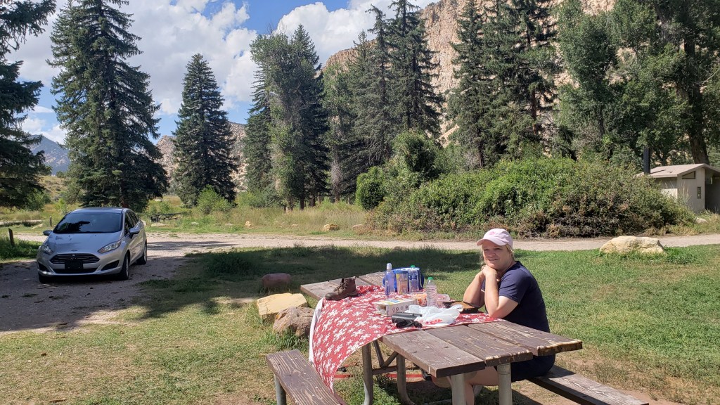
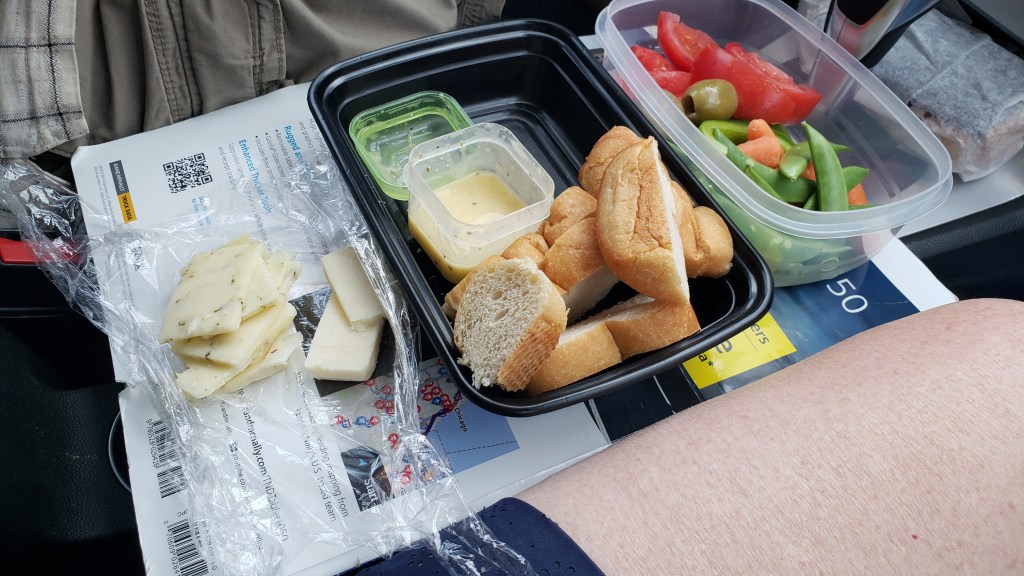
We pulled off into a tent-camping area before leaving the canyon, and had the kind of lunch we were growing used to (meaning, odd). This time it was frozen carrots, cherry tomatoes, Paul Newman Italian Dressing in a packet we picked up at the lodge in Yellowstone, Triscuits, bread, and sausages.
Why? Just, why?
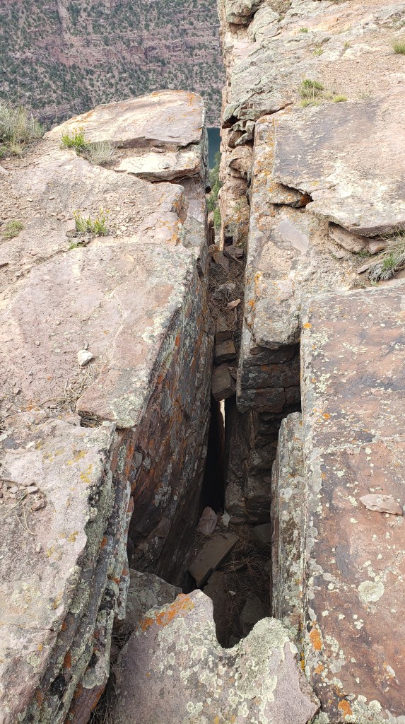
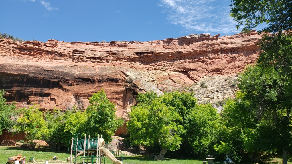
Finally, we reached the Red Canyon, and while we didn’t get the best light of the day, the deep red of the rock and the depth of the canyon were still incredibly impressive.
There are warnings to avoid the deep fissures all around the walkway that leads out to the overlooks.
You can just see two people on the ledge just past the small pine tree (the white dot is one person’s shirt), which gives you an idea of scale.
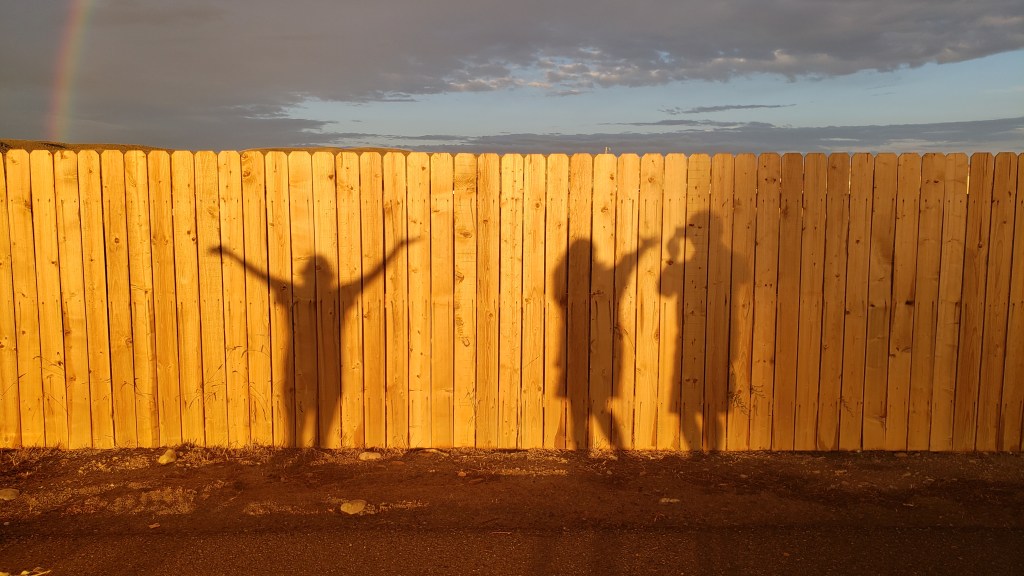
Our final evening in Wyoming was celebrated with a glorious, full rainbow, and some fun with a fellow camper when we noticed our shadows on the fence. Isn’t life great sometimes?
Some of our adventures begin with “It all started out so well.” This is one of them.
With three hours to kill before we could check in at our new campground in Green River, Wyoming (just 15 miles from the Rock Springs Walmart, whose parking lot we spent the night in after we drove two hours longer than we’d planned to), we popped into the Rock Springs Visitor Center to get some local knowledge about what to do in the area.
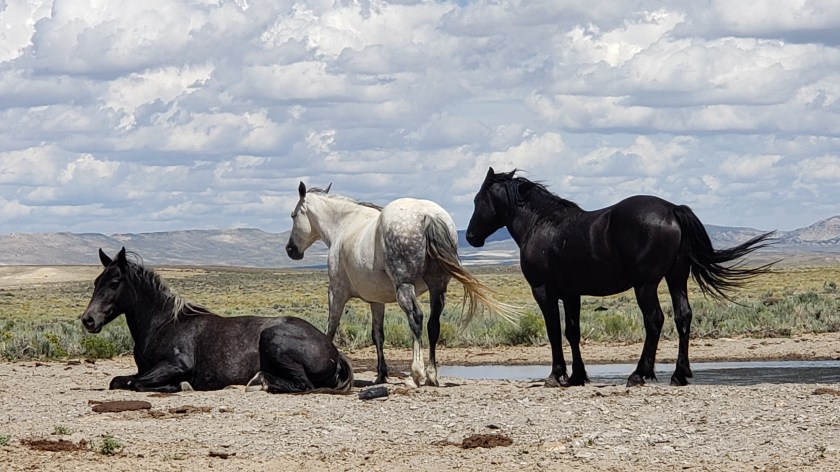
Along with the famous Flaming Gorge, we were told to drive out to the White Mountain Petroglyphs, visit the Killpecker Sand Dunes, and take the scenic Wild Horse Loop as great ways to spend time and soak up some natural wonders.
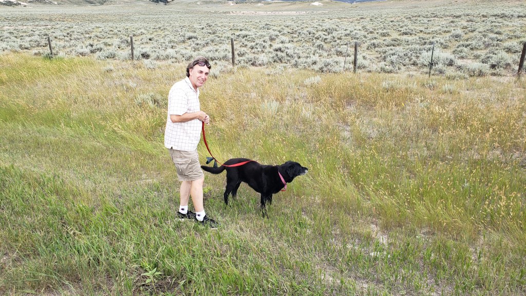
Each time we talk to a Visitor Center person we tell them three things: We have an elderly dog who can’t hike more than a mile round trip; we want to avoid high places with sharp drop-offs; and we’d like to skip any dirt roads, to avoid damage to our little Nippy.
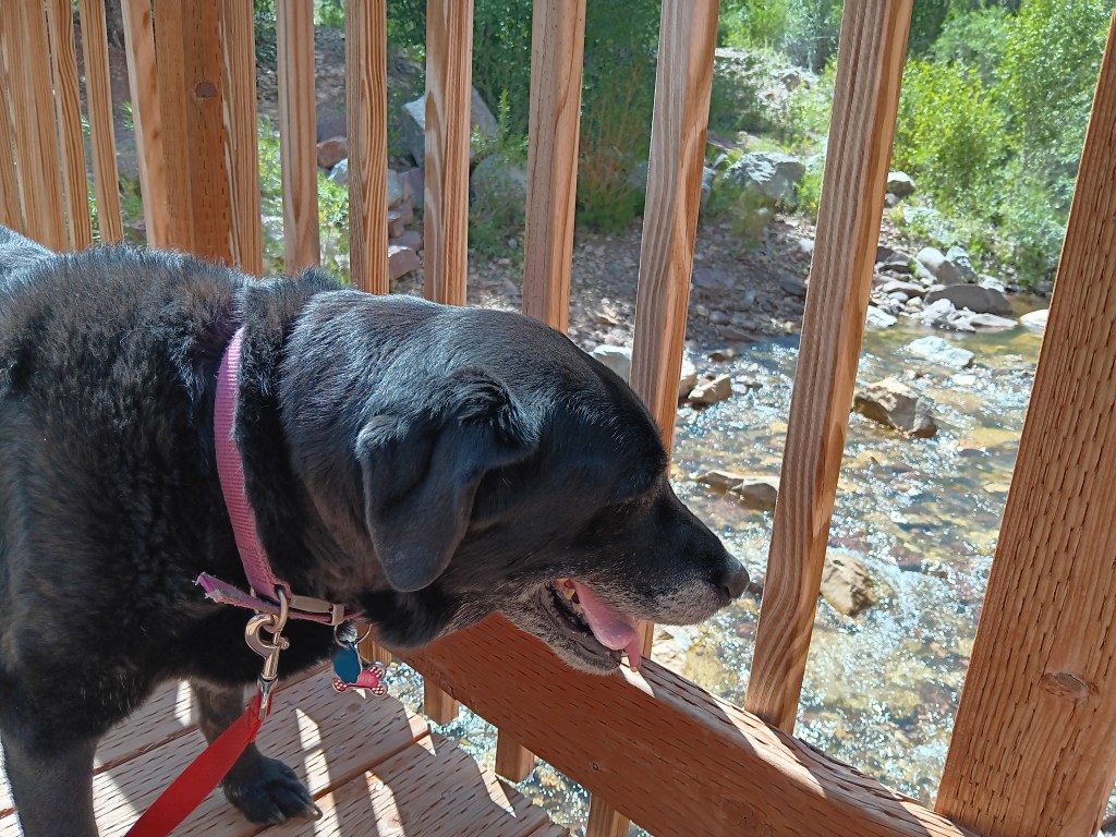
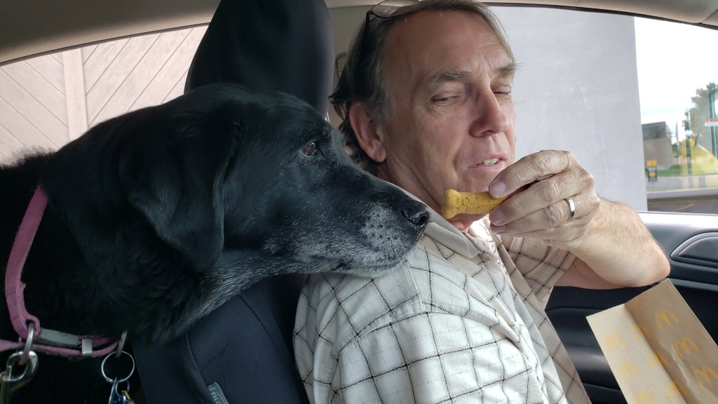
Our Ruthie. In Nippy. With Simon. And a treat.
In this instance, we pointed at Nippy and at our elderly dog, just outside the Visitor Center’s front window, to drive home the point, having been totally ignored by another Visitor Center representative who only told us about long hikes in his area, which were, apparently, his favorite thing to do.
No problem at all, we were assured. We should go to Flaming Gorge, of course (“Well, yes, there are sharp drop-offs, but they only last a few minutes,”), and we should also go out to the White Mountain Petroglyphs, which include what is now called Birthing Rock, a secluded spot where Native American women went to give birth. The highlight of the place was that you could see fingernail marks in the rock, where laboring women tried to cope with their pain.
Okay, odd, but count us in!
We should also drive the Wild Horse Loop in the evening, and see where thousands of wild horses live, our girl said. The loop would take an hour or two, depending on how often we’d stop. Then, on another day, the Killpecker Sand Dunes are “so much fun,” we should go there and do some dune surfing.
Perfect! We’d do the petroglyphs before checking in at the campground, the Wild Horse Loop the next day, then fit in the unfortunately-named sand dunes and Flaming Gorge, with a day in between to do some work. Plan made!
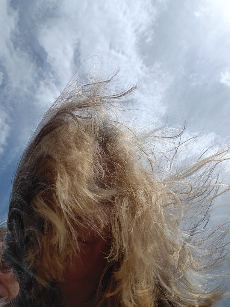
This isn’t us in Wyoming. It’s us at an Orlando City Soccer game, with our hair covered in beer from the people behind us. But this is how we feel when a plan comes together.
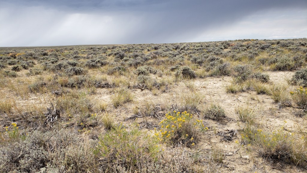
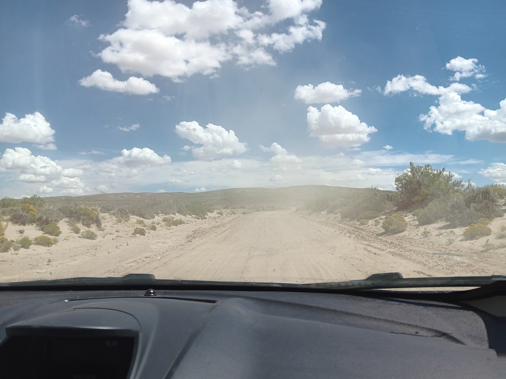
CR-191 heads north out of Rock Springs, and it’s a smooth, paved road into the “Red Desert.” We quickly left the city behind and were passing an increasingly dry, desolate landscape of low, gray-green sagebrush, tufted bunchgrass, some sort of spindly yellow flower, and sand, made even more godforsaken by the harsh summer sun hammering down on us and on the swirling dust-devils.
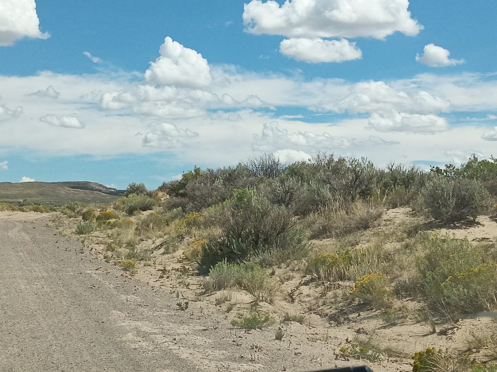
Foliage we are not familiar with
A sign pointed to the turnoff for the road leading to the petroglyphs, and we were mildly dismayed to discover it was, in fact, a gravel road. But it was an “improved gravel road,” meaning, it had recently been watered and graded. Okay. Not too bad. And it was only 17 miles to our destination.
Within minutes, we both agreed if that monstrosity was “improved” we’d hate to see what an unimproved gravel road was like. Unfortunately, after 10 rough, pitted miles, we found out. Some of the cracks created by winter’s run-off in the not-at-all-improved road were so deep we were reminded of the Guernsey Ruts, and extensive holes full of tire-sucking sand threatened to end our journey in the ditch, with a slipped Nippy.
One lone pronghorn watched our progress, and we were certain it was thinking, “What idiots.” Three wild horses turned to observe us briefly, surely wondering if we had a death wish. A small herd of cattle paused mid-chew to give us looks that indicated we were the kind of people who should return to the comforts of the city. Now.
After they looked upon us with scorn, they turned their backs and shunned us altogether.
But we pushed on.
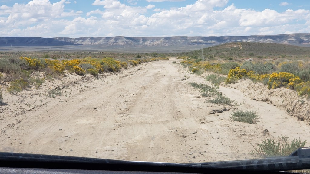
We’d gone more than 17 miles, but there wasn’t a petroglyph or birthing-worthy rock in sight. We’d been traveling parallel to a cliffside for many, many miles, but it was never closer than a mile or so away. We could see quite a way down the “road,” in front of us, but there were no signs indicating our destination was imminent. Where the actual hell were we?
Several miles back, it had begun to dawn on us we had one individual-serving-size bottle of water, no extra gas, no cell phone service, and a dog with very little hind-quarter muscle mass, who could never make it back to the main road. Not only that, but we were totally alone. Some pissed-off rancher could come out and shoot us between the eyes, hide our bodies in the shrubbery, and never spend a moment in prison for the murder of two tourists who didn’t have the sense God gave a goat.
We absolutely are not going to compare ourselves to the brave pioneers who faced immense hardship while founding this great country, but really, sort of, we are.
If the car broke down or we got a flat we could probably make it back to the main road, but there was no way our Ruthie would survive the desert of the damned.
It was time to call it.
So near, yet so far, and with the Grim Reaper’s hot breath on our necks, we turned Nippy around and prayed we’d make it back to pavement.
You’re reading this, so it’s obvious we did. But only just.
It was windy, too.No one can be expected to bear this with grace.
We’ll spare you the next day, when we ventured out for the Killpecker Sand Dunes, which turned out to be much, much further down that same horror of a dirt road. We won’t mention our dismay when we switched gears and decided to do the Wild Horse Loop instead, which (say it with us) was also down an ass-end-of-nowhere road.
This isn’t the Wild Horse Loop. This is the super-easy, get-there-on-a-paved-road Horse Corral we found the next day, where the Bureau of Land Management rounds up wild horses and auctions them for adoption. Wild herds can double every 3-4 years, and, if left in those numbers, most would starve to death.
Later, when we read the multi-page booklet we were given by the Visitor Center, we discovered additional information we hadn’t been told. The fine print for these locations insisted:
“Grab your camera and binoculars, pack plenty of food and water, and make sure to travel in a fueled-up AWD (all wheel drive) vehicle and always let someone know where you will be going and when you will be back.”
Oh, and by the way, it’s a steep, nearly two-mile round-trip hike to the petroglyphs from the road, through sand and shrub and probably loads and loads of infuriated rattlesnakes.
Since we didn’t get to see the petroglyphs, we made our own.
That is the kind of information you give to people who don’t own trucks or cowboy boots. The kind of people who carry designer purses or wear Ray Ban sunglasses. In short, us. We’re the people who need to be told.
Us in our natural state
But we won’t be the people who need to be told next time, because we learned the lesson and survived to tell the tale. So, in the end, it’s a story of triumph. Right?
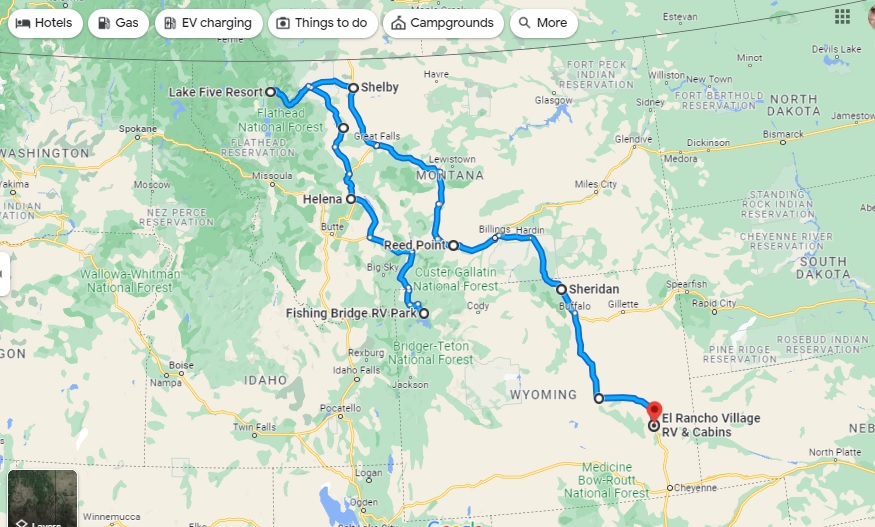
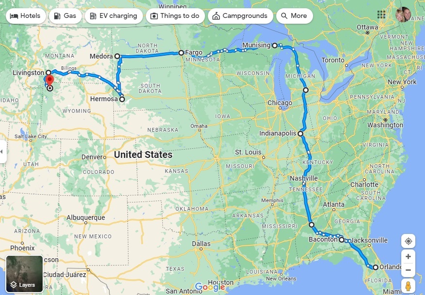
On August 14 we celebrated the third month of our grand ‘A Year On The Road’ RV adventure, with a chance to tot up our mileage and chart the latest course of the scenic route we are forging across the US.
Having ended Month Two at Fishing Bridge RV Park in the heart of Yellowstone National Park, we have basically undergone a bit of an about-face on our original planned route and gone “freelance” for a few weeks. Our third month covered a total of 1,318 miles, giving us a whopping 5,061 for the trip to date.
Month Three – 1,318 miles, starting in Yellowstone and reaching El Rancho Village RV & Cabins in Wheatland, Wyoming, via Glacier National Park in Northwest Montana
As you’ll see from the map, we continued north from Yellowstone to Glacier National Park, but then broke away from the proposed westward trek to Washington and Oregon via a bit of Idaho in favor of seeing more of Montana and Wyoming, two states which we have found utterly enchanting.
We have tried not to cover any of the previous route, apart from a few miles along I-90 in Montana, and have dived much deeper into Wyoming in particular, including side trips to Cheyenne and Laramie – very much the heart of the Old West – in Nippy to avoid putting too many miles on Fati. From here, we’re looking to turn West again, with each of Colorado, Idaho and Utah on our radar – and more of the magnificent Rocky Mountains.
With four days in Evansville, Wyoming, on the eastern edge of Casper, we had plenty of time to seek out some of the pioneer migration hot-spots along with our scenic touring.
We’re going to split our Casper area stay into two separate blogs, one of general touring and a second taking in landmarks and locations having to do with the famous Oregon Trail and its three “sister” trails.
On our first day, we headed east to Ayers Natural Bridge at the recommendation of the Casper Visitor Center. If you follow us on FaceBook you already know the outcome. No Dogs Allowed under threat of a $100 fine, so we took some photos of the most perfect picnic spot in the country, and kept going.
Natural Bridge on a glorious day, perfect for a picnic. But not for us and our dog.
Eye candy everywhere you look. But not for us and the dog.
Babbling river is calling out, begging people to dine along its banks (not us).
Ayers was supposed to be our lunch stop, and having driven an unexpected 40 miles to reach it, we needed a detour off busy I-25 and found it along WY-94, which dead-ended at Esterbrook. At the top of a rise, we pulled over and enjoyed lunch with a view.
This is becoming a habit.
This turned out to be seriously remote driving, with the wonderful bonus of lots of wildlife.
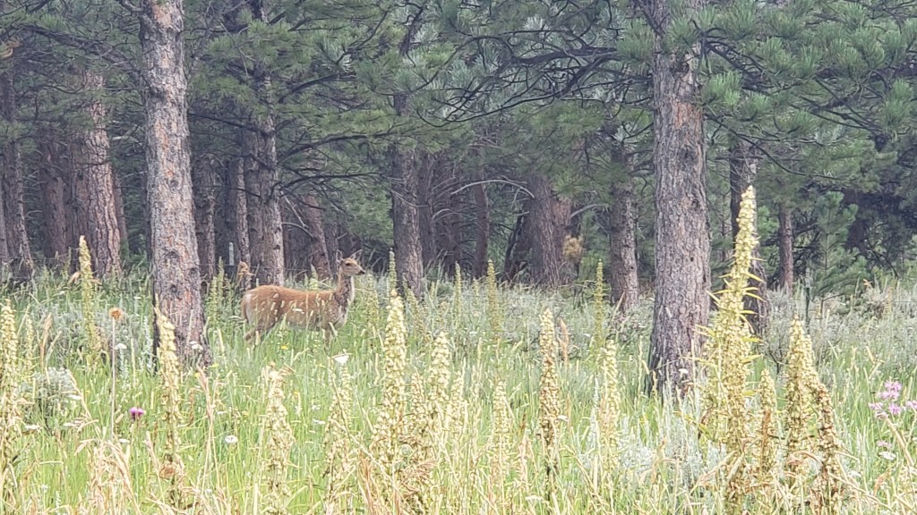
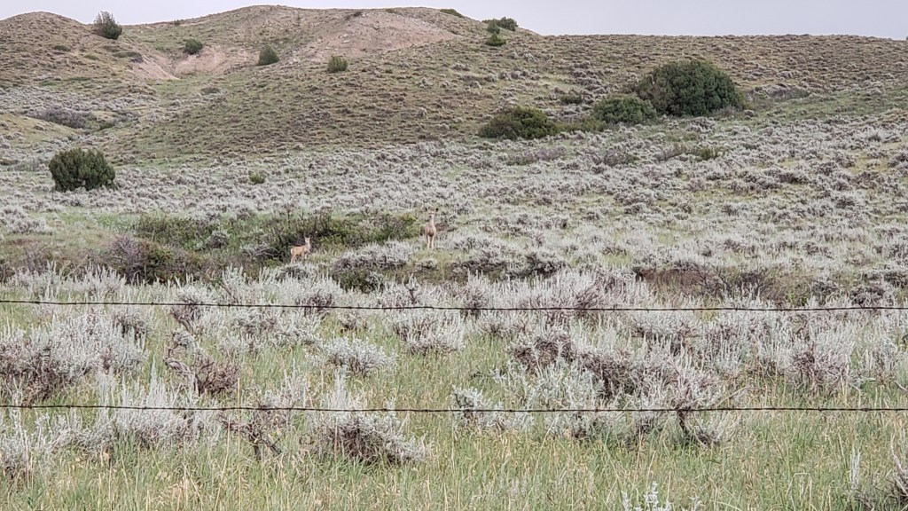
Pronghorn are the most reliable animals in Wyoming. We see them everywhere.
We’ve seen fewer deer than we thought we’d see, but they do pose nicely when they show up.
We spotted Mama, then her fawn came galloping up. Just as we pulled away, a second fawn appeared.
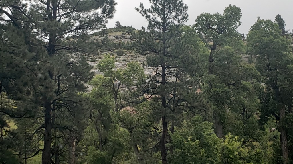
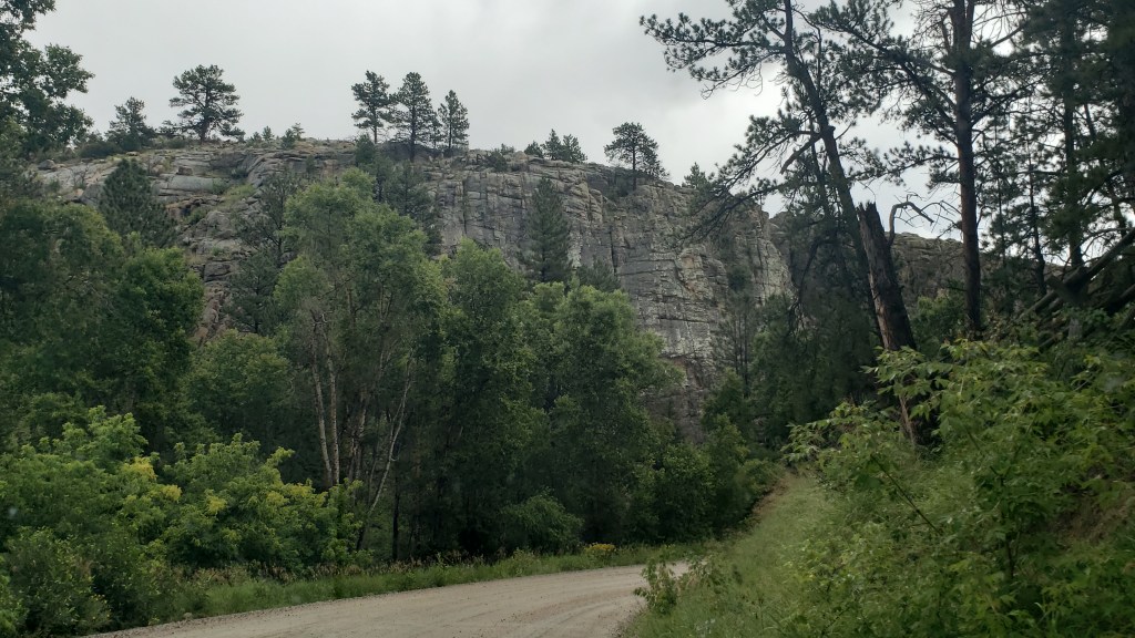
The terrain did what Wyoming does, and changed from rolling hills to prairie to rocky outcroppings to the heady scent of pine forests. We are constantly amazed by what unfolds with each rise and dip in the road. All of this happened within a 10-mile span:
Esterbrook itself had probably seen better days. Most of it looked deserted, though there were a few homes that were clearly inhabited. Where they get their groceries, we do not know. The nearest towns were nearly an hour away.
Deserted.
Also deserted.
We did get our first view of what we thought was the Rocky Mountains, but, no, it turned out to be another view of the Laramie Mountains.
Simon had hoped to find a nice iced cappuccino in Esterbrook, having not yet learned coffee can only be found every 200 miles or so in places like Montana and Wyoming, and it had become our mantra to say, “Knock on someone’s door and ask them to brew you a pot” after our mortifying visit to tiny Leiter.
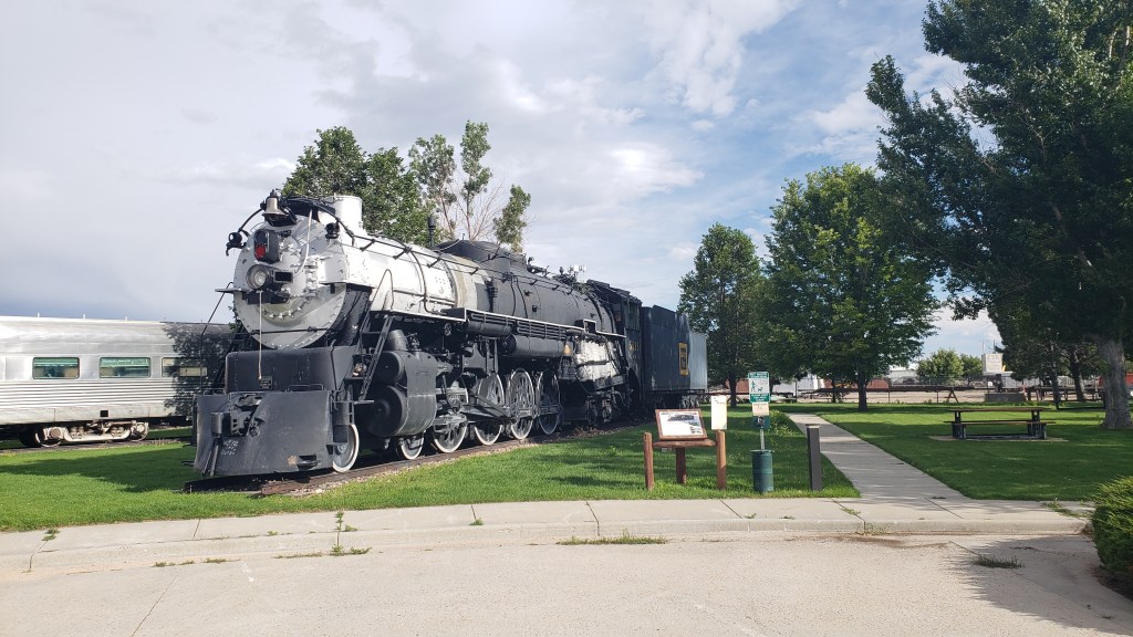
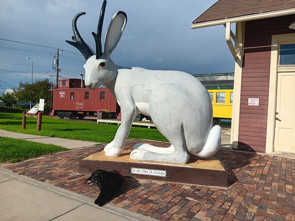
We returned to I-25 at Douglas, “Home of the Jackalope,” and found a train museum and, of course, lots of jackalope statues and cut-outs, along with some quirky little storefronts. The only coffee to be found was at McDonalds, but by the time we realized it we were well out of town.
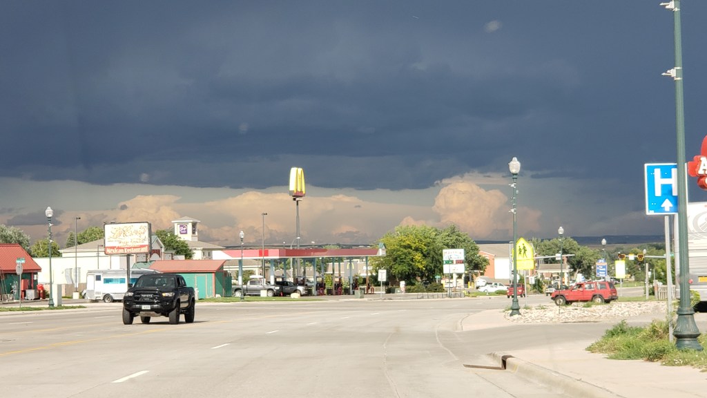
The weather had been around us for more than a week, but we rarely had any.
Our next day’s touring in Nippy would be the longest we’ve taken on this trip, covering 374 miles. Most of them passed rolling hills, prairies, and ranches, so we’ll only cover the highlights, including one heck of a majestic canyon and one heck of a smelly park.
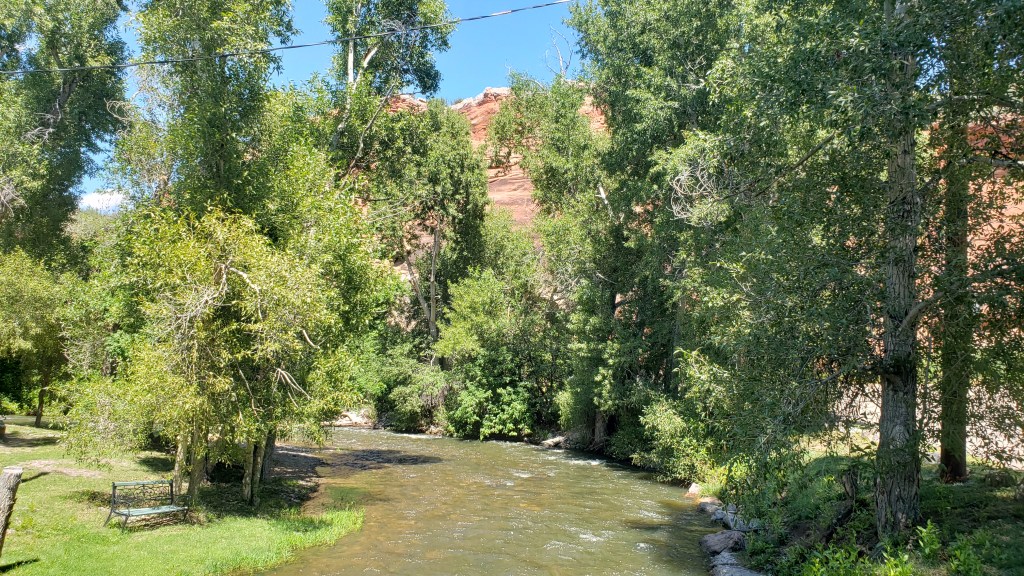
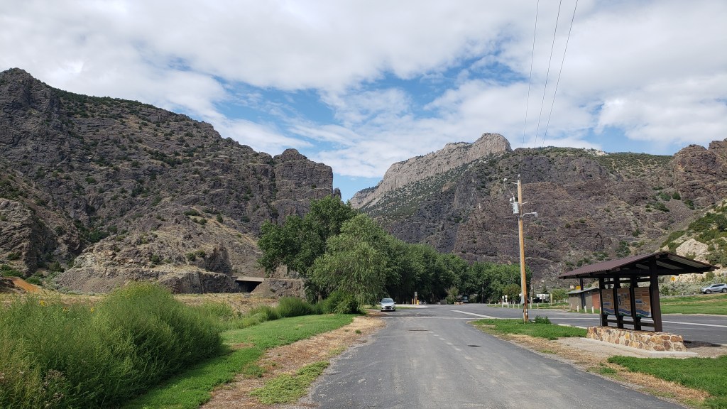
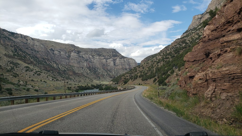
Having stopped at three major Oregon/Mormon/Pony Express sites, which we’ll cover in our next blog, we circled north along our route and detoured up highway 20 toward Thermopolis, named for the world’s largest thermal springs, which bubble up there. Highway 20 passes through the Wind River Canyon, honoring the river that runs through it.
Shoshone lived in the area for thousands of years, and other tribes including Crow, Arapaho, Cheyenne, Blackfeet, and Lakota, made seasonal migrations to the canyon. The Wind River Indian Reservation is still located here, and it holds great spiritual meaning.
We stopped at a park at the entrance to the canyon, and spent time looking through our binoculars for the Bighorn Sheep that live on the mountains. We didn’t see any, but it’s impossible to imagine they aren’t there, hiding behind the rocks.
Three tunnels punctuate the entrance to the canyon, and while they weren’t as tight as Needles Eye, they made for a grand transition.
Click Image for Video
It only takes about 30 minutes to get through the canyon itself, but along the way we were treated to varied mountainsides and towering peaks that rise to 2,500 feet on either side. Its oldest rocks date back to the pre-Cambrian period, more than 2.9 billion years ago.
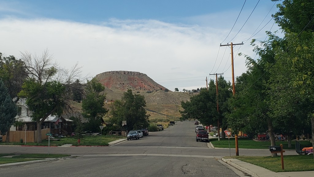
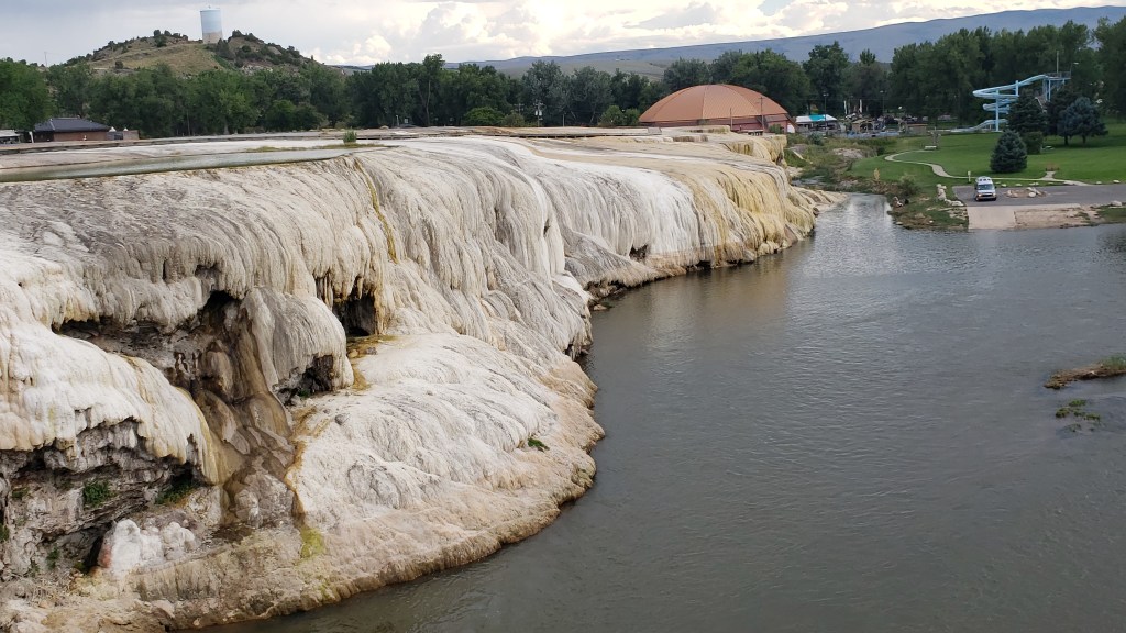
Thermopolis was no slouch, either. The town features a mini Devil’s Tower as its backdrop…
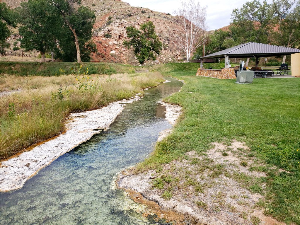
… but it’s the smell of Sulphur that permeates the thermal area that really catches your attention, especially when you’re up close to a spring. As Simon would say, “Whew! What a pong!”
White Sulphur Spring Click Image for Video
Can’t. Stand. The stink!
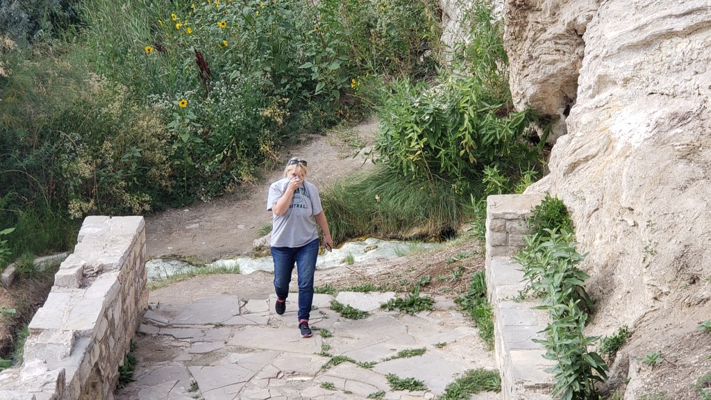
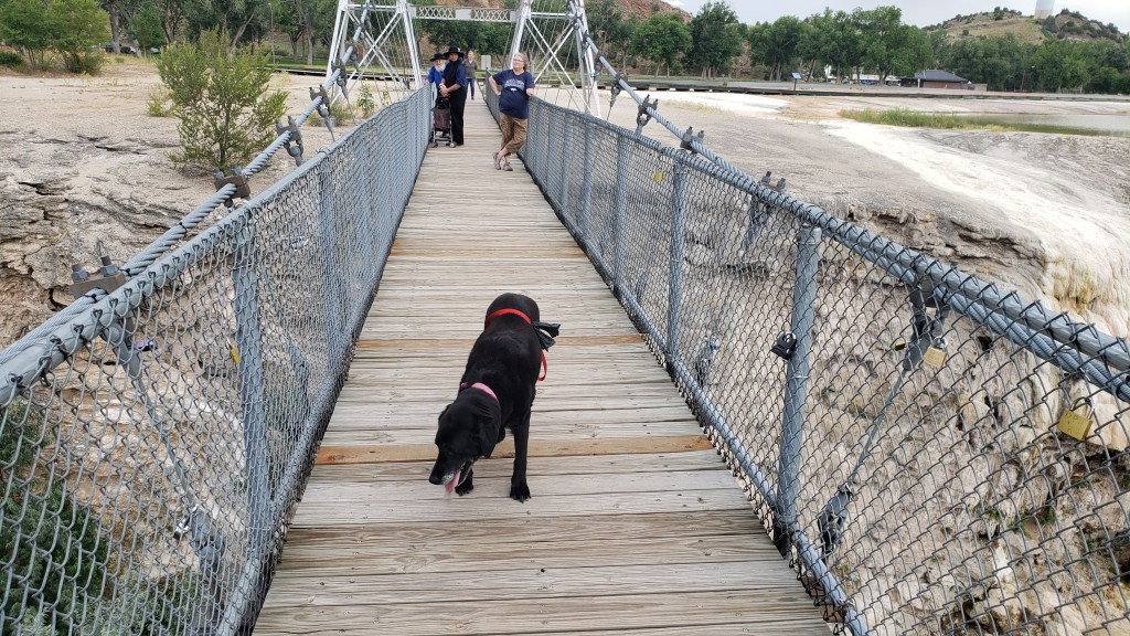
The park is very pretty, and very well used. Along with the springs, we found travertine formations and a swinging bridge (delightful to some, terrifying to others; we’ll let you guess which one of us has an overactive survival instinct).
Ruthie didn’t mind being on the bridge.
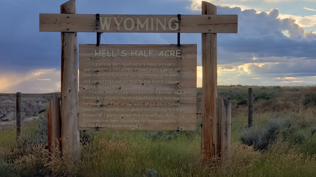
We spent quite a bit of time there, in spite of the stink, but there was one more surprise in store for us as we made our way east back to Evansville.
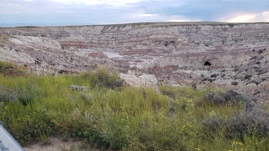
Smack in the middle of nowhere is Hell’s Half Acre, a mini badland of sorts that seems to just drop away from the surrounding plains. You can’t get the size of it from a photo, but it’s 150-feet deep. That cave near the right-hand side is massive.
Once again, there was weather all around us, but we only got a few drops and a lovely rainbow to cap off a long but very satisfying day.
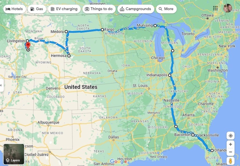
Our second month is in the books, and we are now 3,743 miles into the grand year’s adventure. The arrival of July 14 sees us having reached the magnificent Yellowstone National Park in the Northwest corner of Wyoming (albeit, a small part of it is in Southwest Montana). The driving has been astounding, the views panoramic, and the wildlife absolutely everywhere.
From Orlando to Yellowstone – a 3,743-mile adventure (s0 far!)
In truth, we HAVE slowed down in the second month. The first month chalked up a whopping 2,504 miles, meaning we’ve traveled just 1,239 miles in the second stanza of four weeks. In truth, we’ve gone much further than that with our localized sight-seeing in Nippy once we reach a new destination, but the official distance is measured by Fati’s odometer, and she says 3,743!
In the meantime, we’re considering our next move. In theory it is Glacier National Park in Northwest Montana, and then through Idaho to Washington and Oregon. But we have discovered something wonderfully captivating about Montana and Wyoming, hence we may well explore further here…