

With four days in Evansville, Wyoming, on the eastern edge of Casper, we had plenty of time to seek out some of the pioneer migration hot-spots along with our scenic touring.
We’re going to split our Casper area stay into two separate blogs, one of general touring and a second taking in landmarks and locations having to do with the famous Oregon Trail and its three “sister” trails.
On our first day, we headed east to Ayers Natural Bridge at the recommendation of the Casper Visitor Center. If you follow us on FaceBook you already know the outcome. No Dogs Allowed under threat of a $100 fine, so we took some photos of the most perfect picnic spot in the country, and kept going.
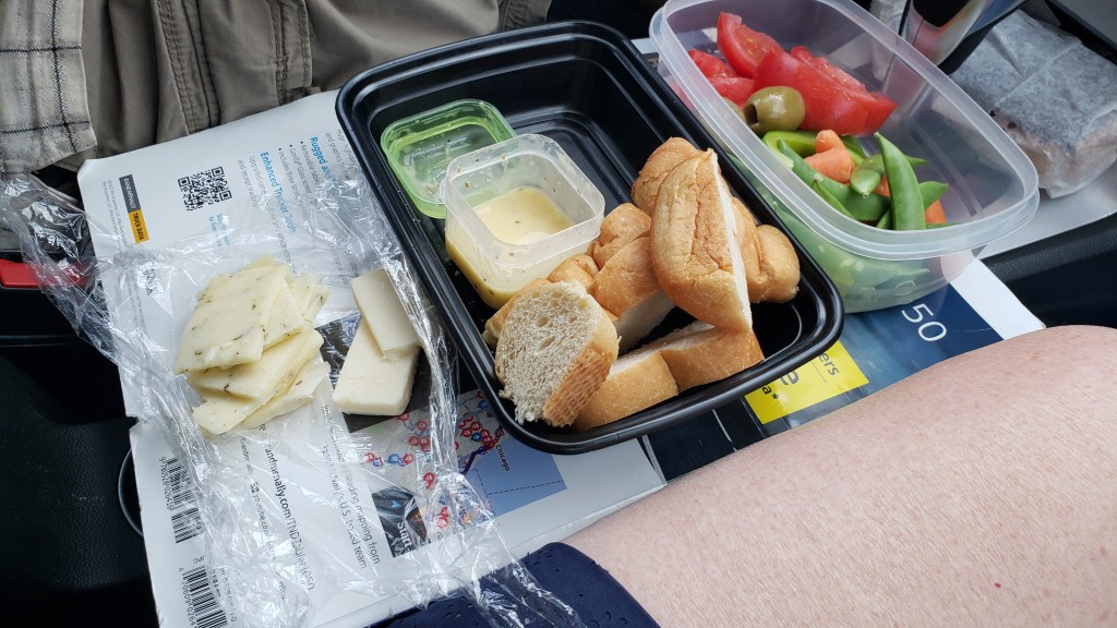
Ayers was supposed to be our lunch stop, and having driven an unexpected 40 miles to reach it, we needed a detour off busy I-25 and found it along WY-94, which dead-ended at Esterbrook. At the top of a rise, we pulled over and enjoyed lunch with a view.

This turned out to be seriously remote driving, with the wonderful bonus of lots of wildlife.

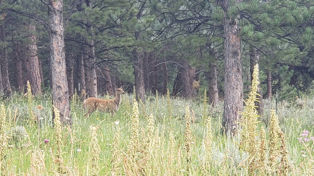
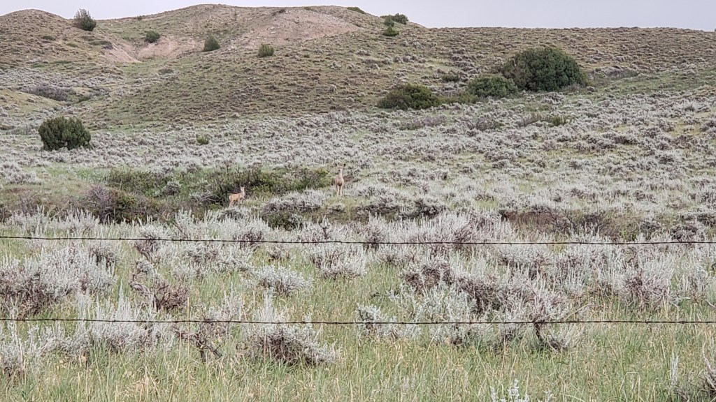
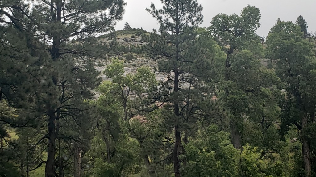
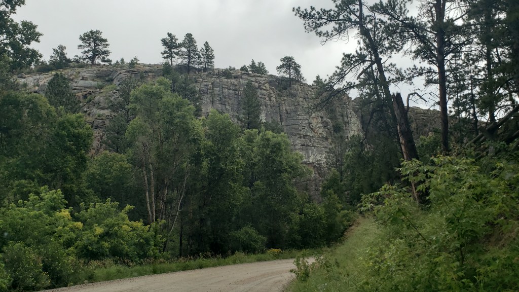
The terrain did what Wyoming does, and changed from rolling hills to prairie to rocky outcroppings to the heady scent of pine forests. We are constantly amazed by what unfolds with each rise and dip in the road. All of this happened within a 10-mile span:

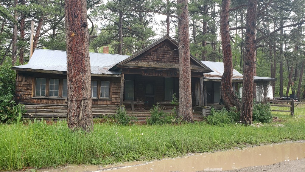
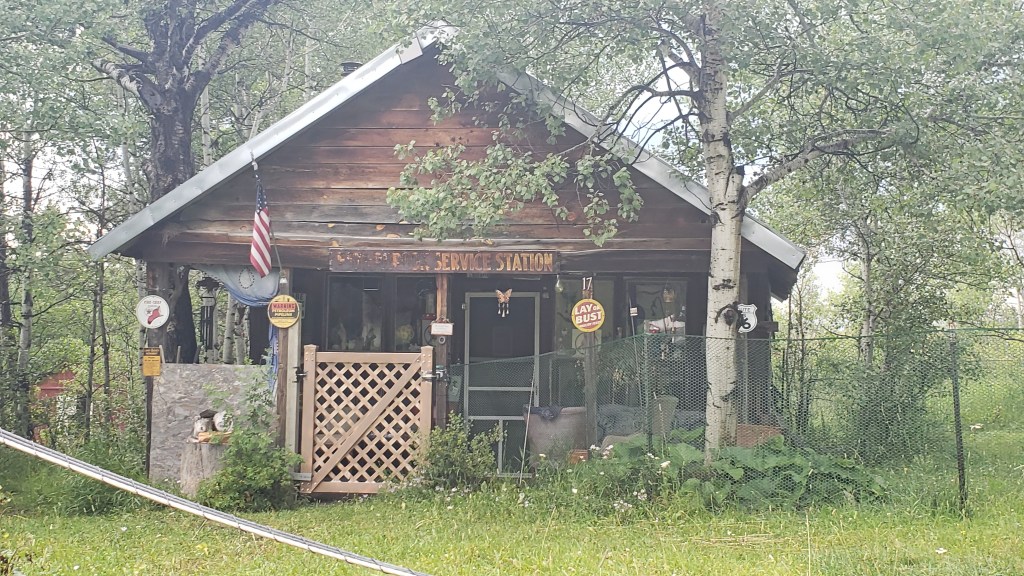
Esterbrook itself had probably seen better days. Most of it looked deserted, though there were a few homes that were clearly inhabited. Where they get their groceries, we do not know. The nearest towns were nearly an hour away.
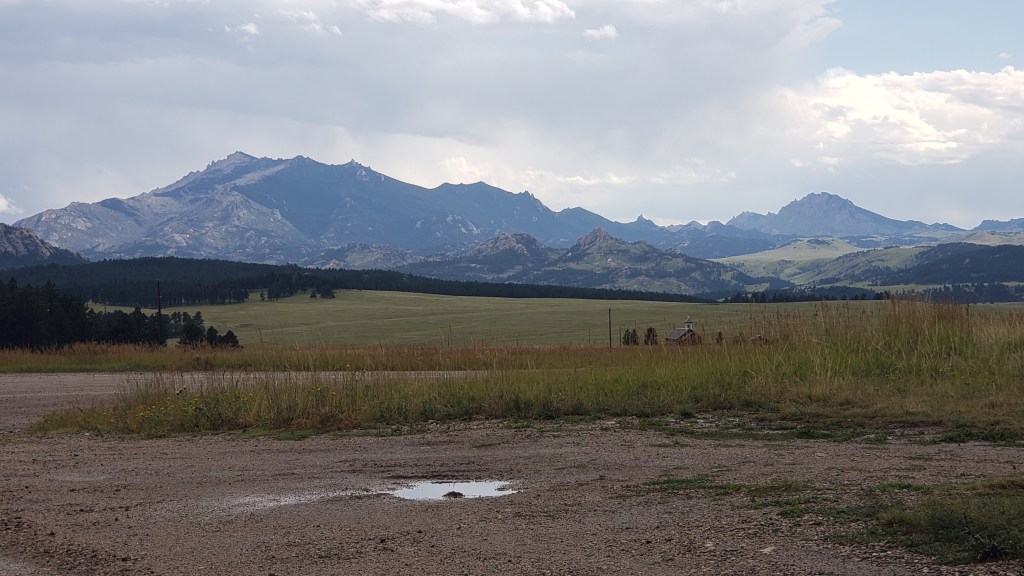
We did get our first view of what we thought was the Rocky Mountains, but, no, it turned out to be another view of the Laramie Mountains.
Simon had hoped to find a nice iced cappuccino in Esterbrook, having not yet learned coffee can only be found every 200 miles or so in places like Montana and Wyoming, and it had become our mantra to say, “Knock on someone’s door and ask them to brew you a pot” after our mortifying visit to tiny Leiter.
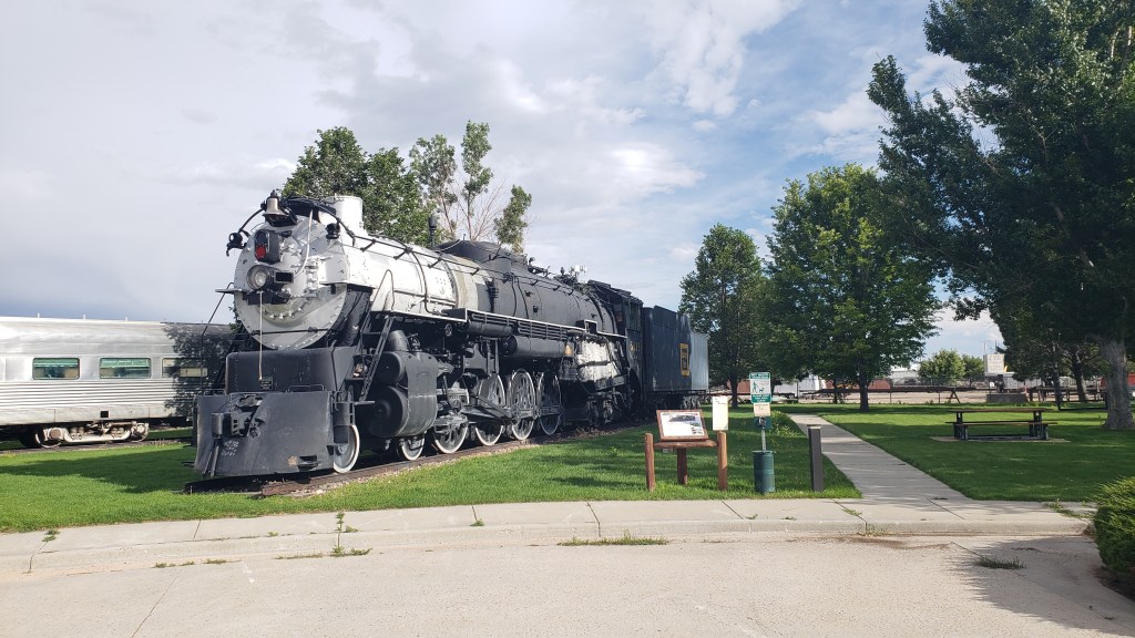
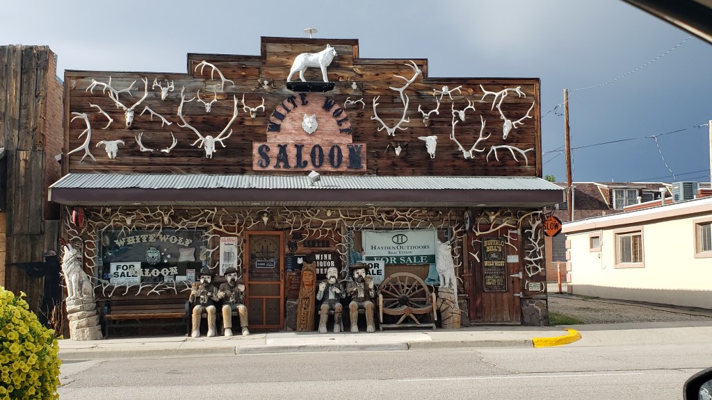
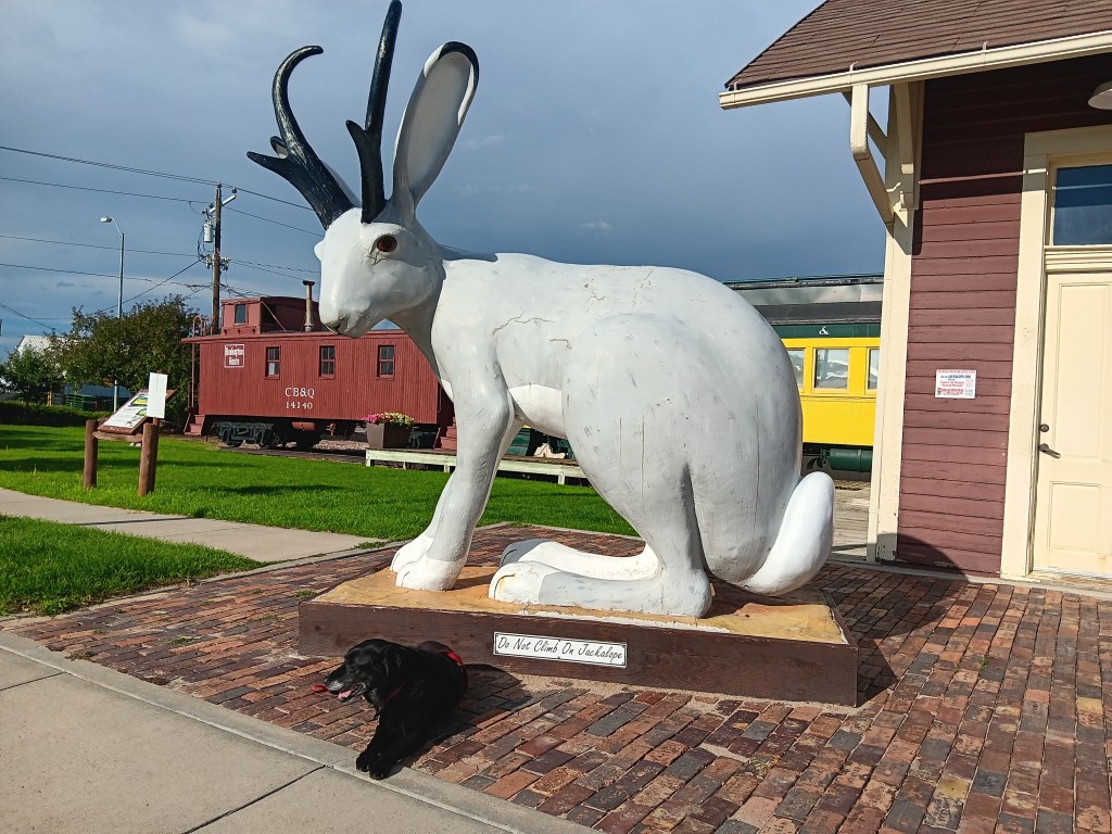
We returned to I-25 at Douglas, “Home of the Jackalope,” and found a train museum and, of course, lots of jackalope statues and cut-outs, along with some quirky little storefronts. The only coffee to be found was at McDonalds, but by the time we realized it we were well out of town.
Our next day’s touring in Nippy would be the longest we’ve taken on this trip, covering 374 miles. Most of them passed rolling hills, prairies, and ranches, so we’ll only cover the highlights, including one heck of a majestic canyon and one heck of a smelly park.

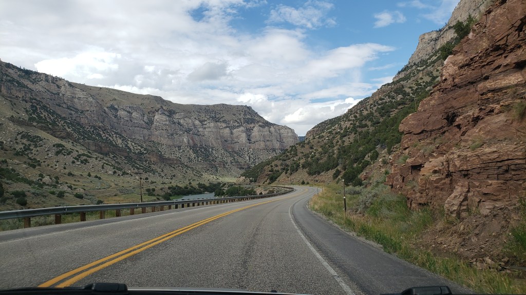
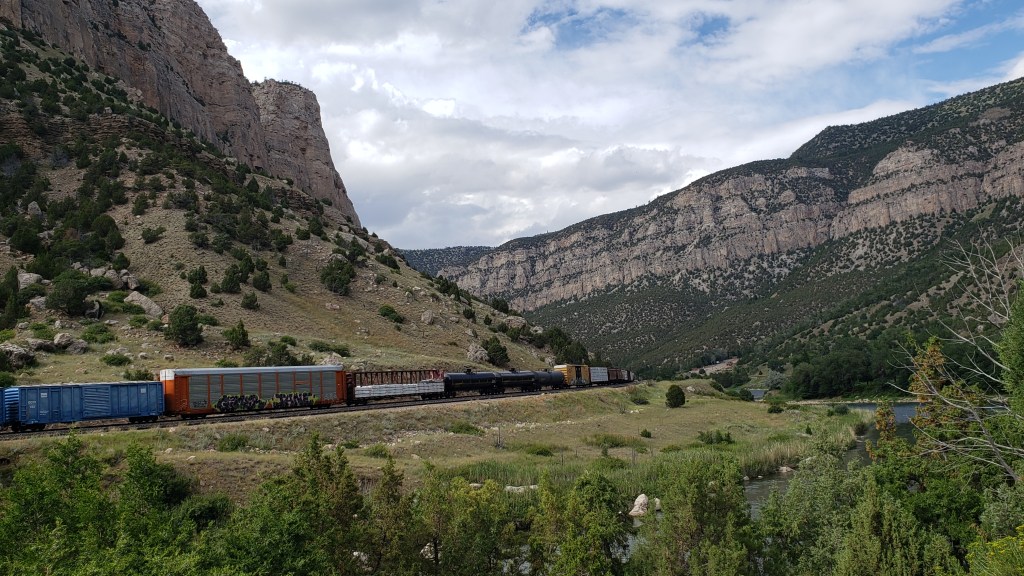
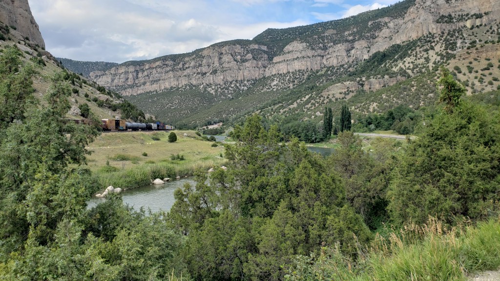
Having stopped at three major Oregon/Mormon/Pony Express sites, which we’ll cover in our next blog, we circled north along our route and detoured up highway 20 toward Thermopolis, named for the world’s largest thermal springs, which bubble up there. Highway 20 passes through the Wind River Canyon, honoring the river that runs through it.
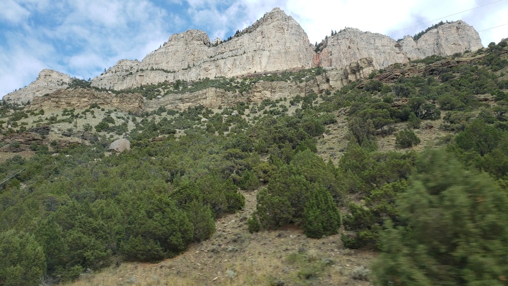
Shoshone lived in the area for thousands of years, and other tribes including Crow, Arapaho, Cheyenne, Blackfeet, and Lakota, made seasonal migrations to the canyon. The Wind River Indian Reservation is still located here, and it holds great spiritual meaning.
We stopped at a park at the entrance to the canyon, and spent time looking through our binoculars for the Bighorn Sheep that live on the mountains. We didn’t see any, but it’s impossible to imagine they aren’t there, hiding behind the rocks.
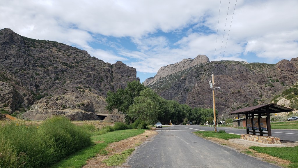

Three tunnels punctuate the entrance to the canyon, and while they weren’t as tight as Needles Eye, they made for a grand transition.
It only takes about 30 minutes to get through the canyon itself, but along the way we were treated to varied mountainsides and towering peaks that rise to 2,500 feet on either side. Its oldest rocks date back to the pre-Cambrian period, more than 2.9 billion years ago.
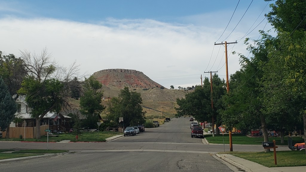
Thermopolis was no slouch, either. The town features a mini Devil’s Tower as its backdrop…
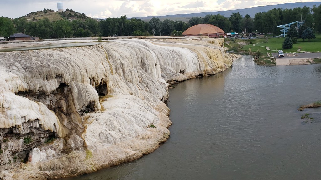
… but it’s the smell of Sulphur that permeates the thermal area that really catches your attention, especially when you’re up close to a spring. As Simon would say, “Whew! What a pong!”
Click Image for Video
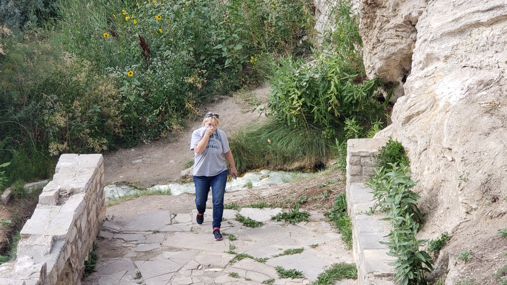
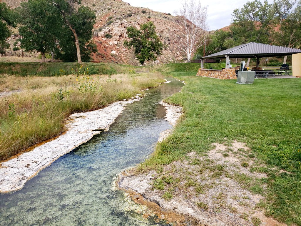
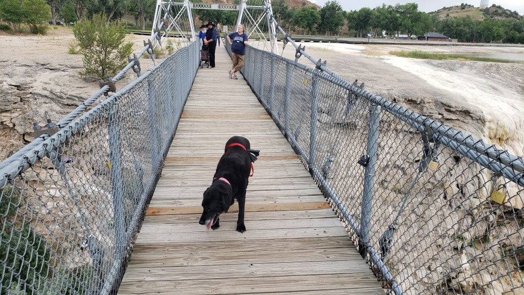
The park is very pretty, and very well used. Along with the springs, we found travertine formations and a swinging bridge (delightful to some, terrifying to others; we’ll let you guess which one of us has an overactive survival instinct).

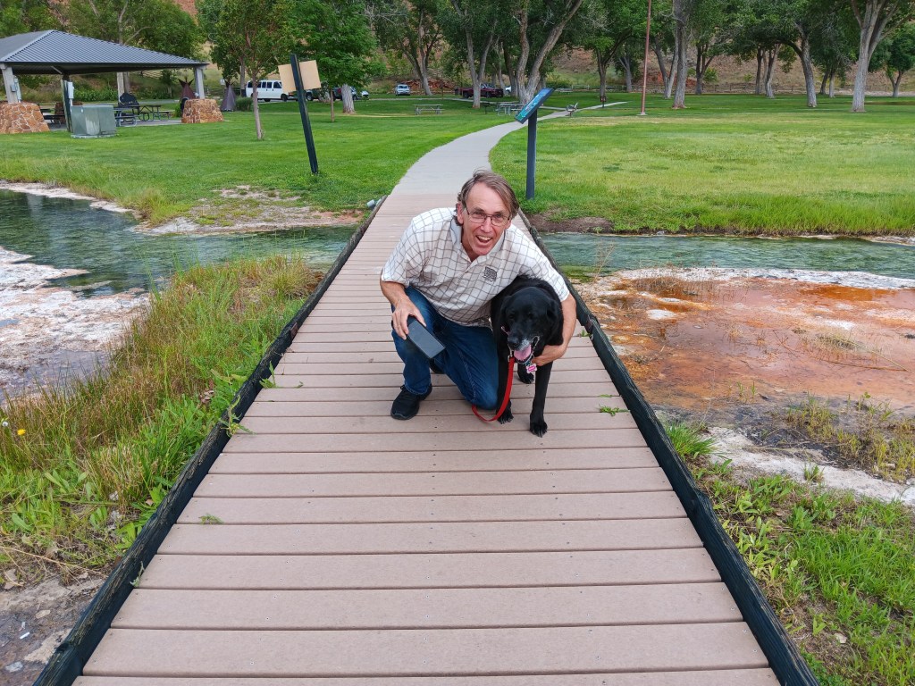
We spent quite a bit of time there, in spite of the stink, but there was one more surprise in store for us as we made our way east back to Evansville.
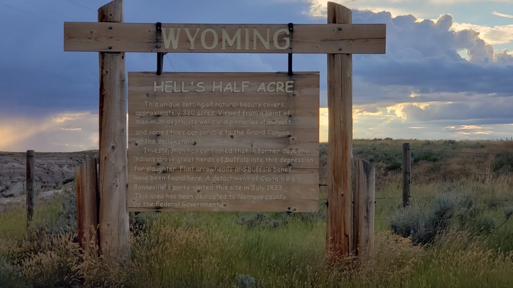
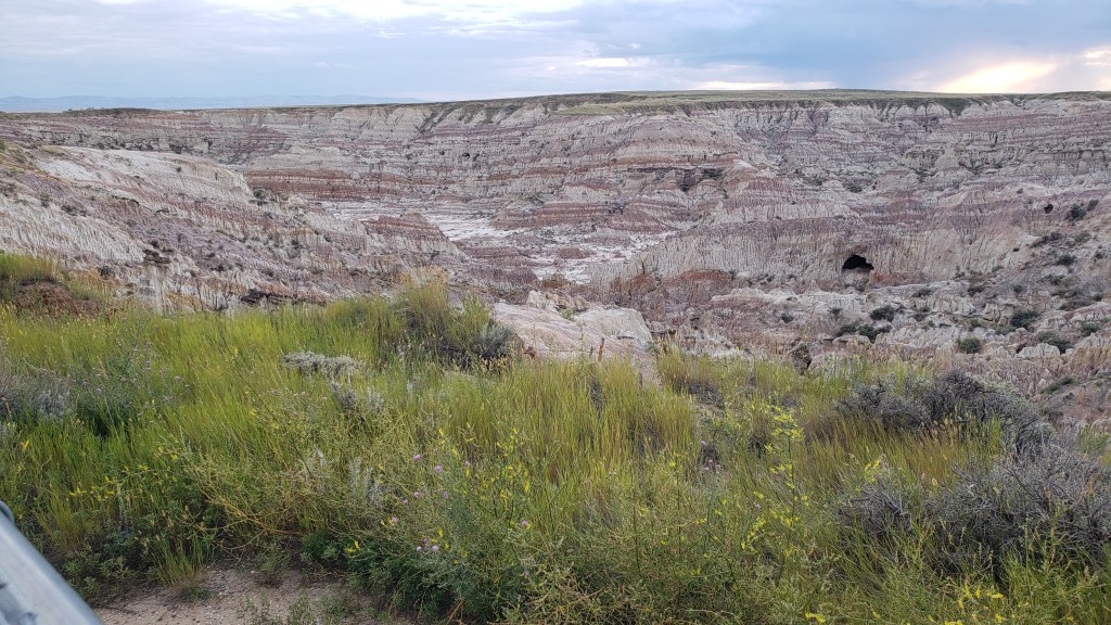
Smack in the middle of nowhere is Hell’s Half Acre, a mini badland of sorts that seems to just drop away from the surrounding plains. You can’t get the size of it from a photo, but it’s 150-feet deep. That cave near the right-hand side is massive.
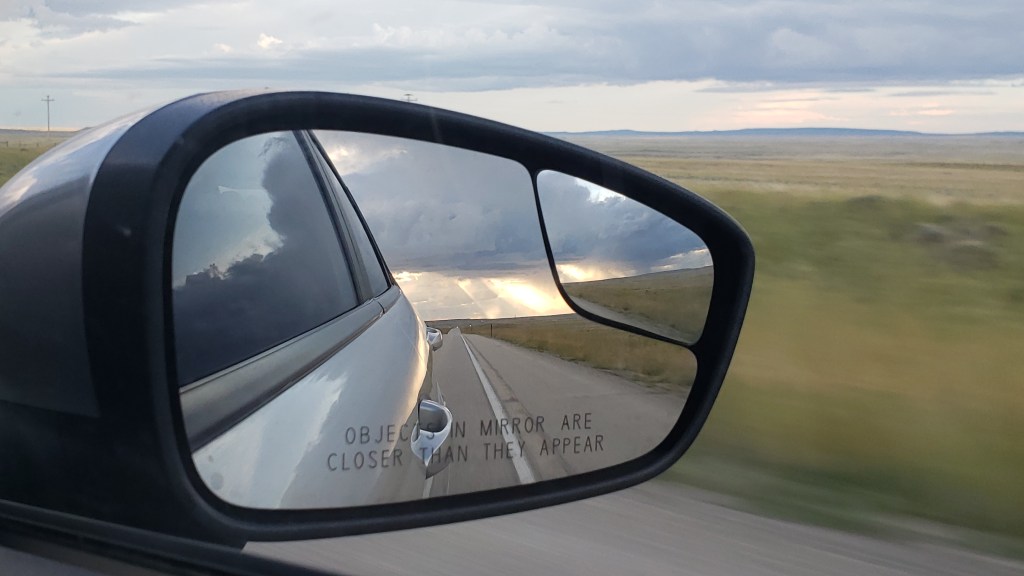
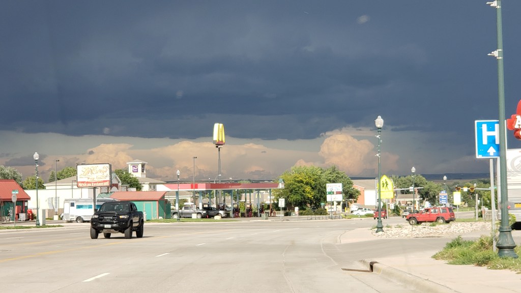
Once again, there was weather all around us, but we only got a few drops and a lovely rainbow to cap off a long but very satisfying day.

