Pushing The Pause Button In The Beehive State


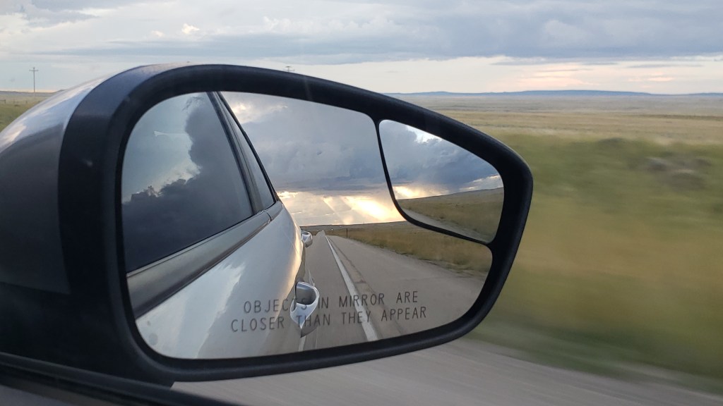
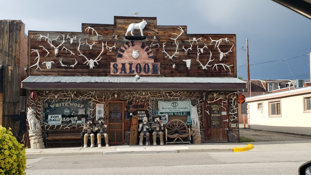
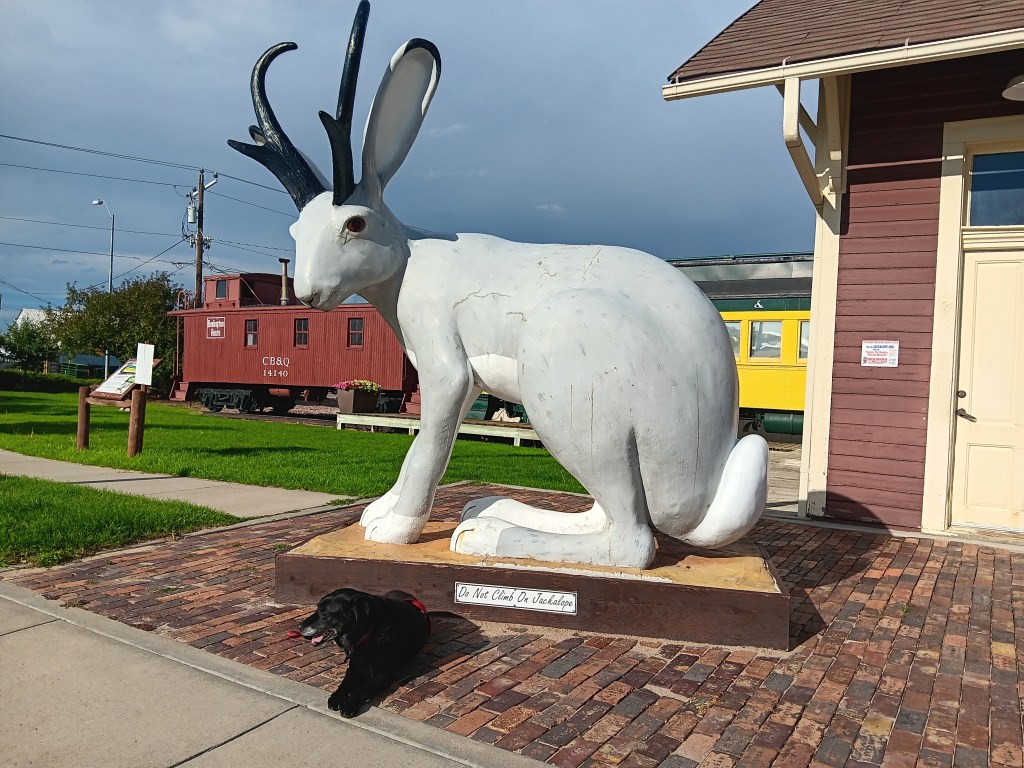
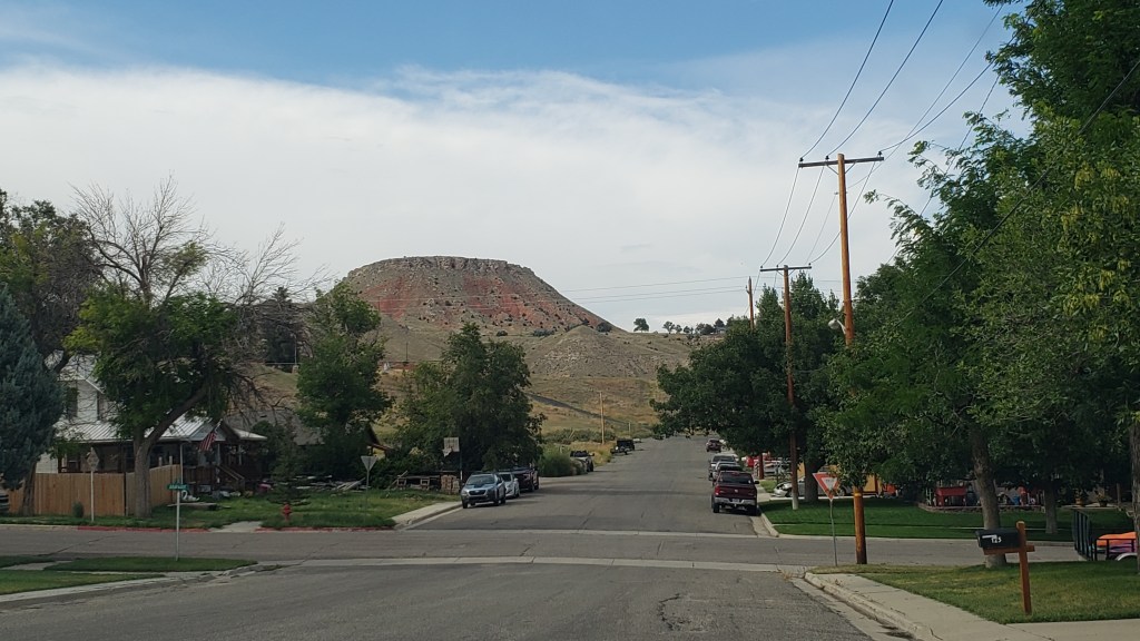
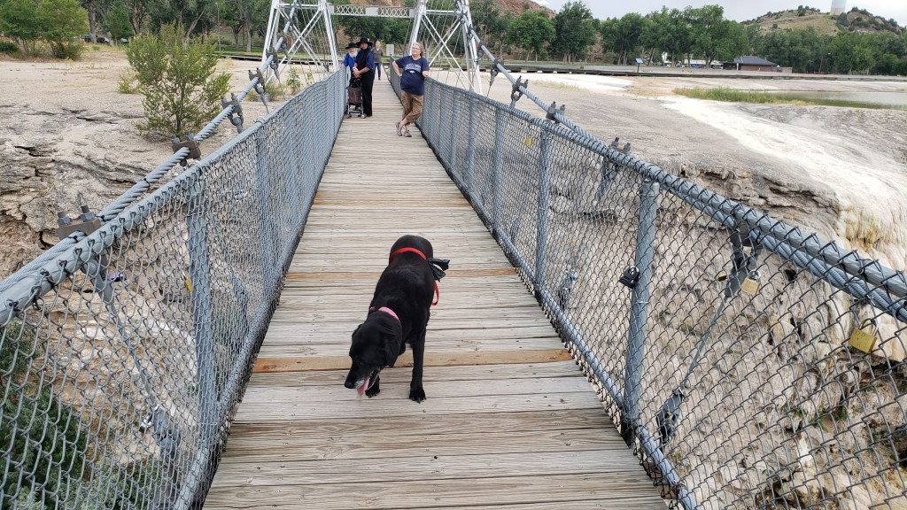
Utah is known as the “beehive state,” honoring that industrious bug’s reputation as a hard worker, and its state of mind unexpectedly became our state of mind, too, with a project that had us tied to our 36-foot home for several days. We took a breather from touring in Nippy, with a few breaks that saw us “hiking” in a mountain canyon and braving a gawd-awful stench to reach an island surrounded by a lake that’s nine times saltier than the ocean.


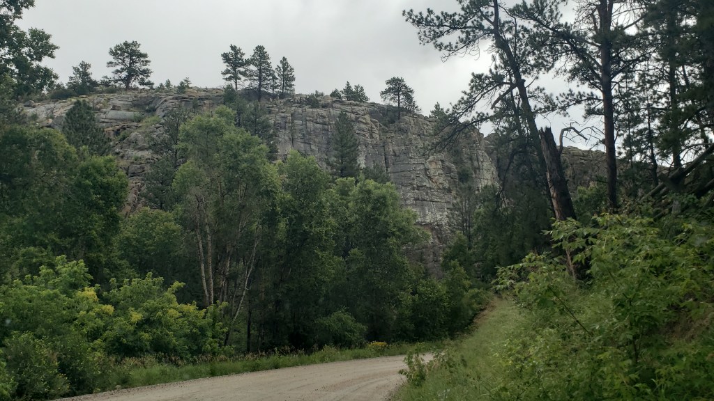
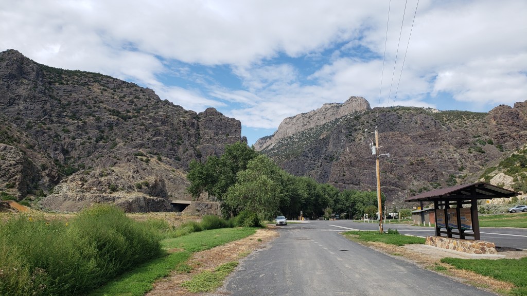
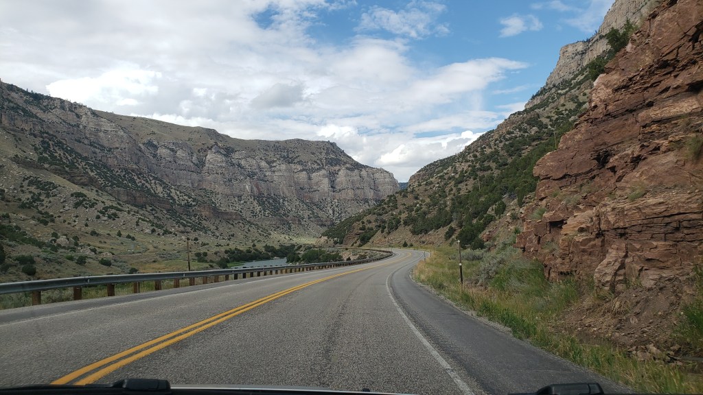
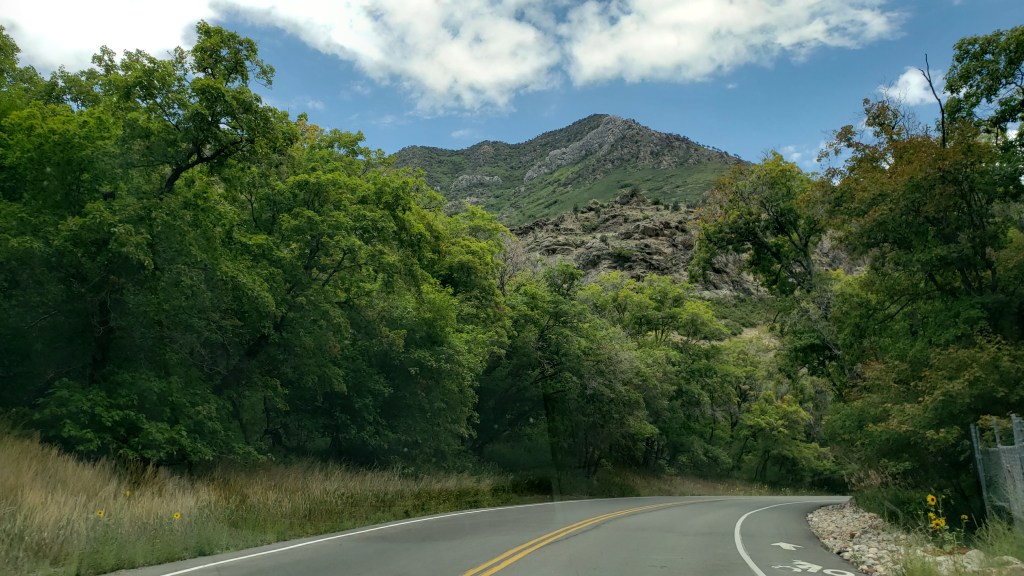
Layton, Utah, our base for eight days, was having a heat wave. Fati’s innards reached a temperature high enough to be uncomfortable in mid-afternoon, so we headed Nippy toward Salt Lake City for a drive up Millcreek Canyon in the Wasatch Mountains, the only canyon that allows dogs, we were told by the Visitor Center.

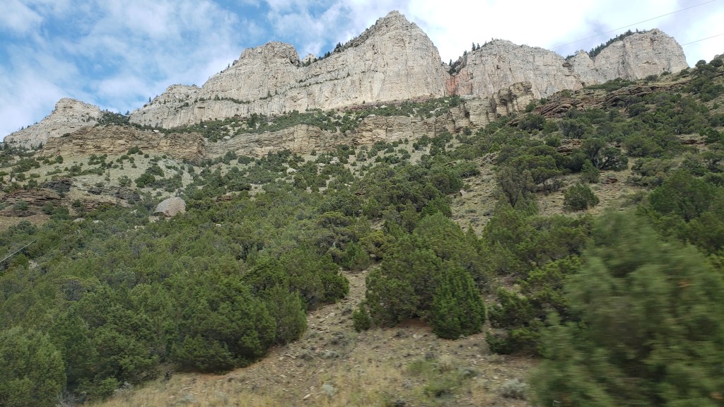
It was a scenic canyon, if somewhat unremarkable, unfortunately overshadowed by the immensity of the canyons we’d already toured in Montana and Wyoming, but the scent of pine trees and the cooler temperatures made it a perfect outing for a couple of hours.


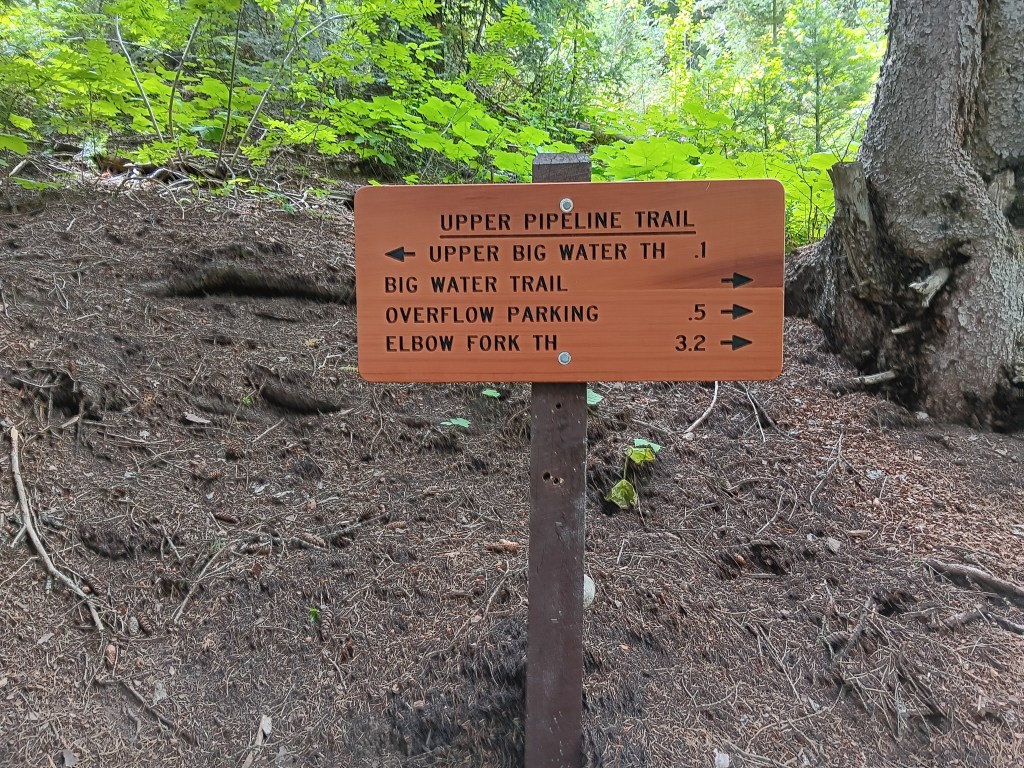
We stopped for a short hike near the top of the mountain, mainly to stretch our legs a bit. And short it was. We saw the sign indicating Big Water Trail (elevation 7,900 feet), which seemed to be just about right for Ruthie; a mile is pretty much her limit.


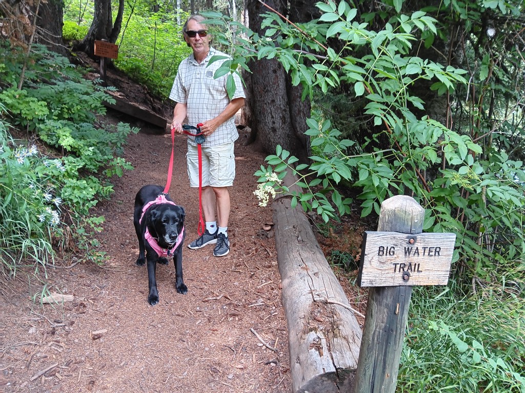
We started off, loving the sound of crunching pine needles under our feet.


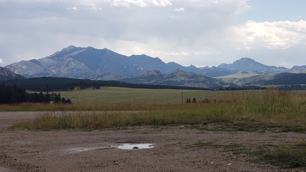
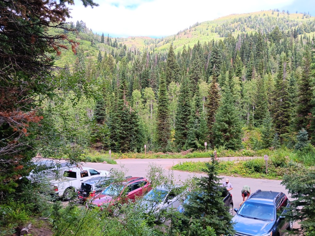
Within a few steps, the trees opened to reveal the parking lot where we’d just left Nippy, and the mountainside beyond.


Three minutes later we reached the end of the trail. What the…….!


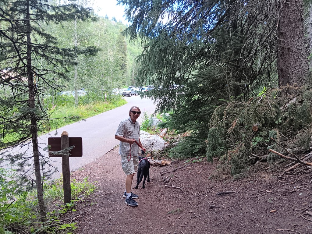
Shortest hike in the history of hikes, and we should have noticed the sign indicated 1/10 of a mile, not 1 mile. But we’d been prepared to walk the full mile, so it still counts as healthy exercise, right?

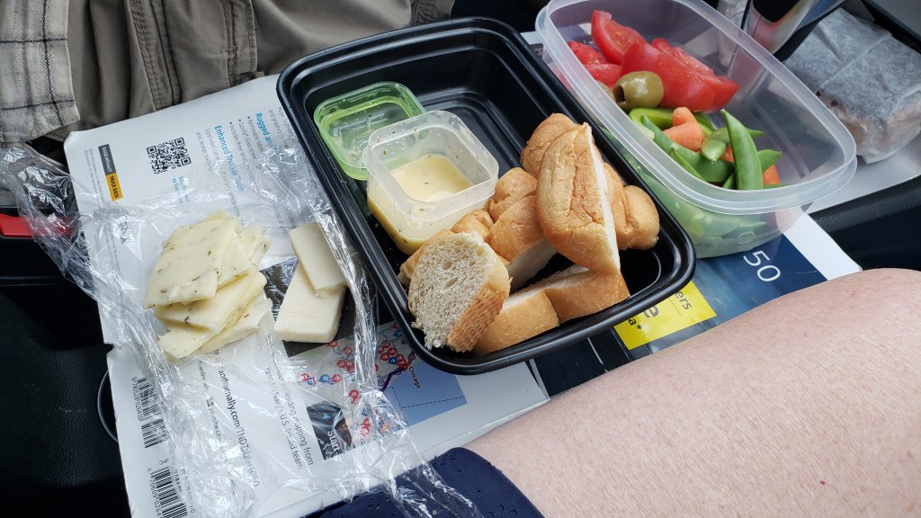
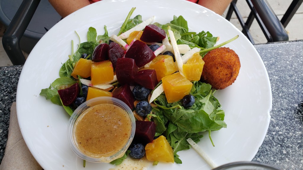
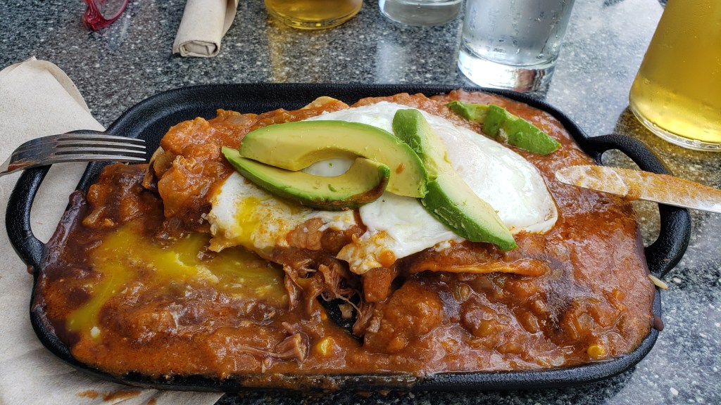
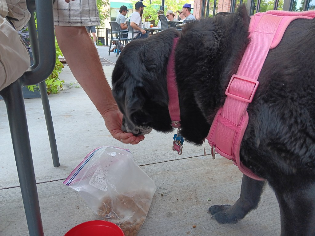
We toasted our athleticism with a visit to Wasatch Brew Pub, where Susan had the Superfood Beet Salad and Simon had the Huevos Rancheros, an unholy assemblage of pork chili, refried beans, queso fresco, lemon crema, and corn tortillas, with two eggs and fiesta rice. Ruthie had dog food.


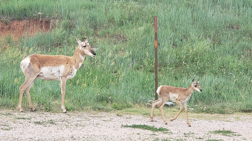
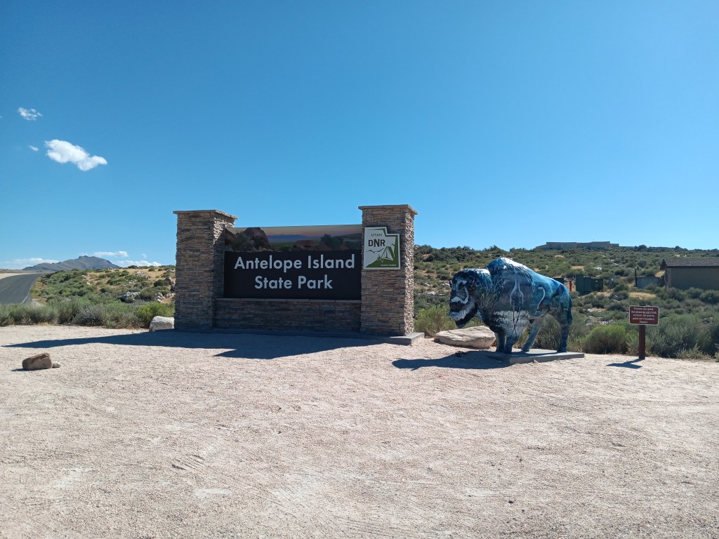
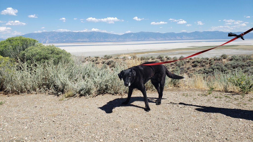
Another afternoon outing saw us taking the long Davis County Causeway out to Antelope Island State Park, situated in the Farmington Bay arm of the Great Salt Lake.


It was close enough to Layton for us to still have Nippy’s windows rolled up and the A/C on High when we arrived, but we soon had them rolled down, enjoying the small breeze wafting across the salt flats, where a billion birds were going about their daily bird stuff.

Click on photo for video

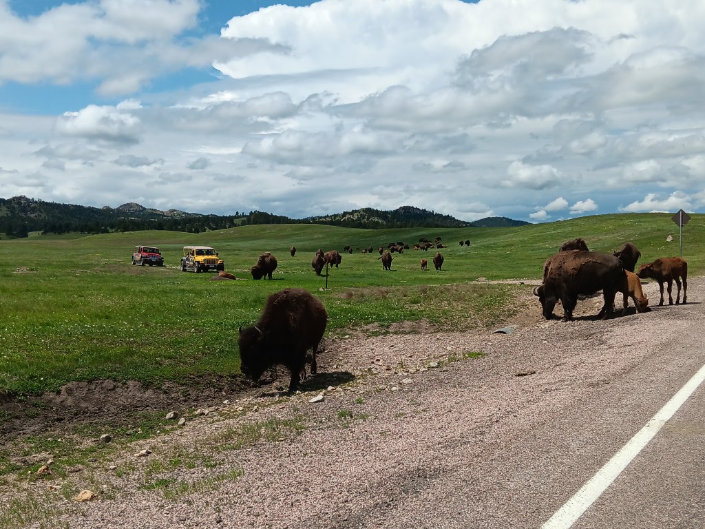
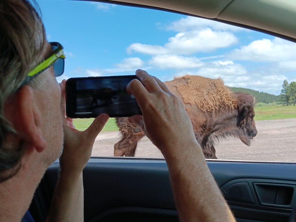
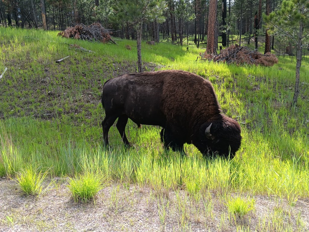
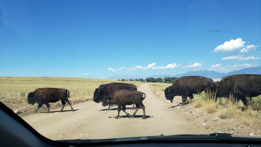
Although the island (really a peninsula) was (wrongly) named for its antelope (pronghorn) population, bison are the dominant mammal now, due to their importation thanks to a conservation effort, after wild horses, thousands of sheep, the Church of the Latter Day Saint’s grazing cattle, and a plague of grasshoppers ate up all the foliage.


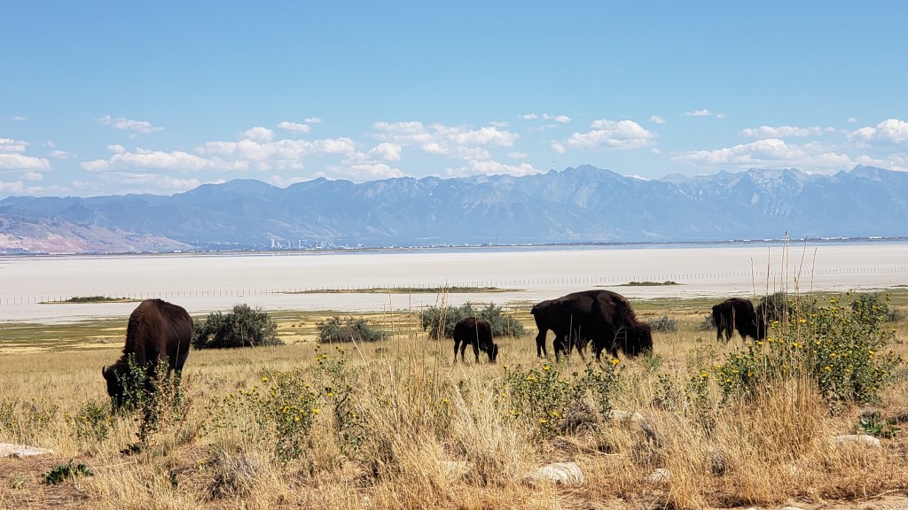
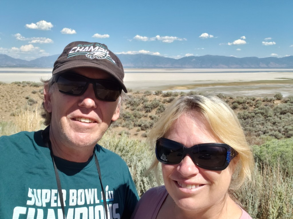
It was fascinating looking out over the Great Salt Lake, marveling at how low the water was and how many migratory birds were filling up on brine flies and other bugs. It was no wonder the area was (or, at least, used to be) a sought-after birding spot.

This isn’t birds or bugs. This is us, with the mostly-dried-up Great Salt Lake behind us.

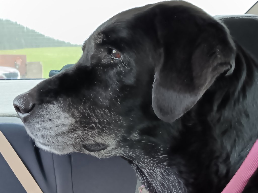
Before we left the island, Simon wanted to “have a paddle” in the water (for our U.S. readers, that’s “go in up to your ankles” in U.K.-speak), so we drank some water, gave Ruthie some water, felt the sand to be sure it wasn’t hot, and agreed we’d turn around if we thought it would be too much for our sweet old dog.


The water was much further away than it appeared from the parking lot, and it really was just too hot to be out in the sun for long, so about 2 minutes into it, we turned around and went back to the car.

Ruthie, pre-beach-walk, weighing up her options if she’s forced to hike on the sand.

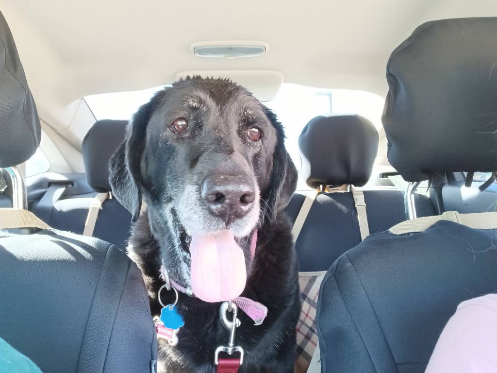
It was then that Ruthie had a full-blown attack, flailing around the back seat, dropping to her belly, trying to jump back up but falling down again, and shaking her legs as if in agony. It looked like she was having some kind of seizure, and we were afraid her brain had fried from the heat.

We quickly felt her fur to see how hot it was, checked her paws for burns, looked between her toes to see if anything was lodged there, and reassured her again and again that she’d be okay and we were there for her. Then, we rushed her over to a hose at the nearby shower station and doused her with cold water in an attempt to cool her down quickly and save her life.

Once the sand was washed off her paws, she bounced around like a joyful puppy, skipping and smiling all the way back to the car. We gave each other looks that showed we both realized the diva side of her personality had come out, and she just didn’t like the sand on her feet.

Ruthie with a fancy hose-water hairdo.

As we crossed the causeway again, this time with our windows rolled down, the most nasal-nauseating smell wafted into poor Nippy. Like the seal-covered rocks we boated around in Chilean Patagonia, those billions of birds stank to high heaven, and we cried out in horror at the assault on our senses.


Ruthie’s dramatic spasms and the bird stink notwithstanding, it had been a fabulous afternoon, and a good way to say goodbye to Utah for a week while we explored what southern Idaho had to offer.

When Nature Says “No.”


With four days in Evansville, Wyoming, on the eastern edge of Casper, we had plenty of time to seek out some of the pioneer migration hot-spots along with our scenic touring.

We’re going to split our Casper area stay into two separate blogs, one of general touring and a second taking in landmarks and locations having to do with the famous Oregon Trail and its three “sister” trails.

On our first day, we headed east to Ayers Natural Bridge at the recommendation of the Casper Visitor Center. If you follow us on FaceBook you already know the outcome. No Dogs Allowed under threat of a $100 fine, so we took some photos of the most perfect picnic spot in the country, and kept going.

Natural Bridge on a glorious day, perfect for a picnic. But not for us and our dog.

Eye candy everywhere you look. But not for us and the dog.

Babbling river is calling out, begging people to dine along its banks (not us).

Ayers was supposed to be our lunch stop, and having driven an unexpected 40 miles to reach it, we needed a detour off busy I-25 and found it along WY-94, which dead-ended at Esterbrook. At the top of a rise, we pulled over and enjoyed lunch with a view.


This is becoming a habit.

This turned out to be seriously remote driving, with the wonderful bonus of lots of wildlife.

Pronghorn are the most reliable animals in Wyoming. We see them everywhere.

We’ve seen fewer deer than we thought we’d see, but they do pose nicely when they show up.

We spotted Mama, then her fawn came galloping up. Just as we pulled away, a second fawn appeared.

The terrain did what Wyoming does, and changed from rolling hills to prairie to rocky outcroppings to the heady scent of pine forests. We are constantly amazed by what unfolds with each rise and dip in the road. All of this happened within a 10-mile span:


Esterbrook itself had probably seen better days. Most of it looked deserted, though there were a few homes that were clearly inhabited. Where they get their groceries, we do not know. The nearest towns were nearly an hour away.

Deserted.

Also deserted.

We did get our first view of what we thought was the Rocky Mountains, but, no, it turned out to be another view of the Laramie Mountains.


Simon had hoped to find a nice iced cappuccino in Esterbrook, having not yet learned coffee can only be found every 200 miles or so in places like Montana and Wyoming, and it had become our mantra to say, “Knock on someone’s door and ask them to brew you a pot” after our mortifying visit to tiny Leiter.

We returned to I-25 at Douglas, “Home of the Jackalope,” and found a train museum and, of course, lots of jackalope statues and cut-outs, along with some quirky little storefronts. The only coffee to be found was at McDonalds, but by the time we realized it we were well out of town.


The weather had been around us for more than a week, but we rarely had any.

Our next day’s touring in Nippy would be the longest we’ve taken on this trip, covering 374 miles. Most of them passed rolling hills, prairies, and ranches, so we’ll only cover the highlights, including one heck of a majestic canyon and one heck of a smelly park.


Having stopped at three major Oregon/Mormon/Pony Express sites, which we’ll cover in our next blog, we circled north along our route and detoured up highway 20 toward Thermopolis, named for the world’s largest thermal springs, which bubble up there. Highway 20 passes through the Wind River Canyon, honoring the river that runs through it.

Shoshone lived in the area for thousands of years, and other tribes including Crow, Arapaho, Cheyenne, Blackfeet, and Lakota, made seasonal migrations to the canyon. The Wind River Indian Reservation is still located here, and it holds great spiritual meaning.

We stopped at a park at the entrance to the canyon, and spent time looking through our binoculars for the Bighorn Sheep that live on the mountains. We didn’t see any, but it’s impossible to imagine they aren’t there, hiding behind the rocks.


Three tunnels punctuate the entrance to the canyon, and while they weren’t as tight as Needles Eye, they made for a grand transition.

Click Image for Video

It only takes about 30 minutes to get through the canyon itself, but along the way we were treated to varied mountainsides and towering peaks that rise to 2,500 feet on either side. Its oldest rocks date back to the pre-Cambrian period, more than 2.9 billion years ago.


Thermopolis was no slouch, either. The town features a mini Devil’s Tower as its backdrop…


… but it’s the smell of Sulphur that permeates the thermal area that really catches your attention, especially when you’re up close to a spring. As Simon would say, “Whew! What a pong!”

White Sulphur Spring
Click Image for Video

Can’t. Stand. The stink!

The park is very pretty, and very well used. Along with the springs, we found travertine formations and a swinging bridge (delightful to some, terrifying to others; we’ll let you guess which one of us has an overactive survival instinct).


Ruthie didn’t mind being on the bridge.


We spent quite a bit of time there, in spite of the stink, but there was one more surprise in store for us as we made our way east back to Evansville.


Smack in the middle of nowhere is Hell’s Half Acre, a mini badland of sorts that seems to just drop away from the surrounding plains. You can’t get the size of it from a photo, but it’s 150-feet deep. That cave near the right-hand side is massive.


Once again, there was weather all around us, but we only got a few drops and a lovely rainbow to cap off a long but very satisfying day.

The Awesome Ruggedness of Custer State Park

welcome to the black hills

Why were so many places across the country named after a man who lost one of history’s most infamous battles, a battle aimed at genocide of the native peoples? We don’t know, and we’re not in a position to right the historical wrong or re-frame the story, but we will say the State Park named for Lieutenant Colonel George A. Custer, better known as General Custer, is one hellofa fabulous park.

needles highway spires

We could yammer on about the rolling hills and the lush greens that splash across the landscape, as if some insane artist with a passion for the verdant is forever in the process of painting and repainting according to the whims of sunlight and clouds.

rolling hills in south dakota black hills

We could wax poetic about the Black Hills specifically, and we could throw in the fact that “hills that are black” is the English translation of “Pahá Sápa,” from the Lakota language of the Sioux people, and that the Black Hills rightful return to the Sioux Nation is a long-standing, contested issue the Sioux are currently losing.

If we really wanted to get all up in ourselves, we’d casually toss in the utterly self-promoting comment that the book, Paha Sapa: Land of the Gods, mysteriously made it into the queue for The Jungle Cruise at Walt Disney World’s Magic Kingdom park, and therefore into Susan’s third edition of The Hidden Magic of Walt Disney World.

But we won’t spend time on those topics, because on our second full day in Hermosa we were all about animal tracking from the comfort and convenience of our car.

We had been lucky enough to see bighorn sheep in the Badlands, and you’ve already read about our encounters with bison in Theodore Roosevelt National Park, so today we were on a mission to track down a herd of majestic elk.

pronghorn in badlands national park
This isn’t an elk

We entered the park’s Wildlife Loop not far from our campground, and first up on our sightings checklist were the burros, fondly nicknamed the “begging burros” for their willingness to eat whatever you’ve brought them (more accurate than “willingness” is “insistence”). Hence, they’re super friendly, and come right up to you rather than waiting for you to approach them.

simon and burro

burro herd custer state park

burros custer state park

Their hearty ancestors were pressed into service nearly a century ago, toting tourists and their paraphernalia up Black Elk Peak from the Sylvan Lake Lodge. Only a small herd is left, but they’ve been roaming wild ever since their forebearers’ tourism-based employment end. Most of them are descendants of the originals, but a few of the burros are donated newcomers.

Having frittered away the morning working, it was well past lunchtime when we found ourselves caught up in another bison jam, so we got out our sandwiches and spent nearly an hour enjoying their wanderings, their playful calves, and one truly peevish specimen who wanted to pick a fight with everyone.

bison fighting custer state park

bison herd custer state park

We don’t know what the deal is (probably salt from the roads?), but this herd also had a liking for licking cars, starting with the one parked in front of us. And again, one of the bison gave us the stink-eye through the front window, then spent about five long, long, long minutes alongside Nippy, deciding if it wanted to ram us or just move on.

simon viewing bison custer state park
Scary bison makes a decision

A certain dog in the back seat was riveted, but this time she didn’t bark. She just sat there making little huffing sounds, clearly aware now that the beasts surrounding us were much bigger than she is.

ruthie viewing bison custer state park
Must. Not. Bark!

We moved on when they moved on, and had a lone male on a side road nearly to ourselves as we made our way to Custer, with Needles Highway as our next major adventure.

male bison custer state park

We did stop at Calamity Jane Coffee Shop in the cute town of Custer to help Simon deal with his lack of caffeine, and while I’m not usually a coffee drinker, I got one anyway and it was honestly the best cup of mocha and Joe I’ve ever had. Sadly, Jane wasn’t on hand that day, but her employee was friendly and the bathroom was clean. Score!

custer south dakota

Needles Highway is a 14-mile scenic drive punctuated by the most outrageous granite spires that were pushed up sideways by the forces of nature. Every turn reveals a thrilling aspect, and we goggled at the magnificence and took selfies like the tourists we are.  

needles highway landscape

needles highway selfie

needles highway spires 2

South Dakota’s governor, Peter Norbeck, mapped out the entire trail that would become Needles Highway on foot and on horseback. It’s so winding, and has so many tight turns, it takes nearly an hour to drive just 14 miles, even longer with stops for panoramic photos. But you want to go slow, because this is prime elk territory, and we’re out for elk sightings today. Right?

There are three tunnels along the highway, carved through the rock by wind, rain, and the area’s harsh winter weather. Each tunnel is impressive, but we’ve never seen a tunnel more impressive than the Needle’s Eye. Nippy is small, but Simon could touch the side of the Eye as we drove through.

We agreed we’d have to come back and do Needles again, next time stopping at the lovely Sylvan Lake for a stroll and a picnic lunch. When we finally did that a couple of days later, the weather suddenly turned freezing cold, and was hammering down with rain and pounding with thunder and lightning, so we sat in the car and had lunch while feeling very, very sorry for a bridal party running through the storm to get to the lake’s reception hall, with all the girls in sheer, sleeveless formalwear and the bride’s veil whipping in the wind.

sylvan lake custer state park
This is what Sylvan Lake looked like three minutes before a massive thunderstorm hit

After Needles we went back to the Wildlife Loop, where the Visitor Center assured us we’d have a chance at spotting elk as dusk came on. Instead, we saw deer and lots of pronghorn, including the wonderful treat of a mama pronghorn and her baby, with daddy not far behind.

pronghorn mother and baby custer state park

pronghorn mother dad and baby custer state park

We made two more trips into Custer State Park after that, determined we’d see elk, but to no avail. To add insult to injury, a couple we got to chatting with at the campground said they’d seen a herd of elk right on the road the previous evening, at around 6:30 p.m., which was about 15 minutes before we arrived at the same spot that same evening.

Would it take until Yellowstone before we’d see elk, or would South Dakota be kinder to us than that? Either way, what a grand and exciting place for wildlife and for absolutely magnificent scenery. But Custer wasn’t done surprising us yet.

coyote custer state park