

New Orleans wasn’t a new city for us. We’d been there before, but anyone who has visited the Big Easy knows it’s never the same and it’s always the same and you can’t be certain of what you’ll get. The French Quarter is a perfect example – dynamic and predictable at the same time. We love it and we hate it, so, naturally, we made it our first day’s destination.
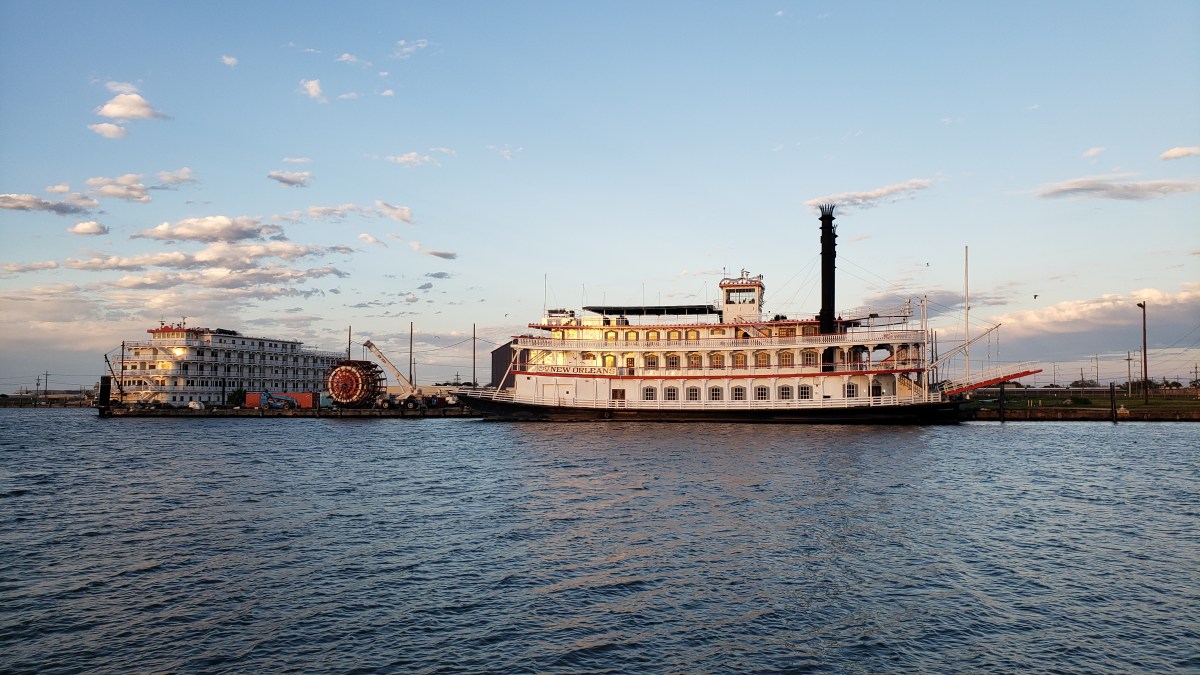
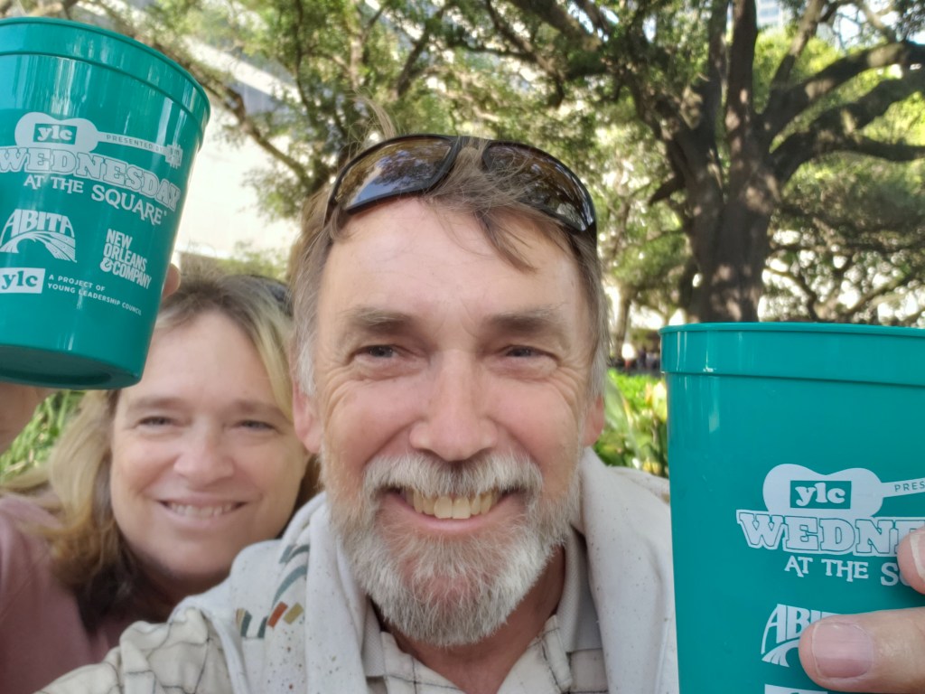
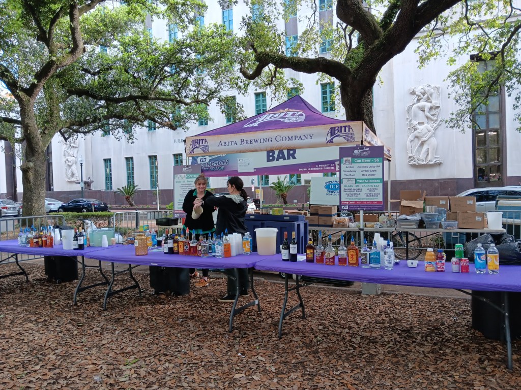
As luck would have it, we arrived mid-week, so after we settled in at waterside New Orleans RV Resort and Marina we went into the city for Lafayette Square’s big Wednesday Concert Series. Locals make good use of the concerts, and it was easy to see why. Plenty of food and booze, good Jazz, and the concert was free.

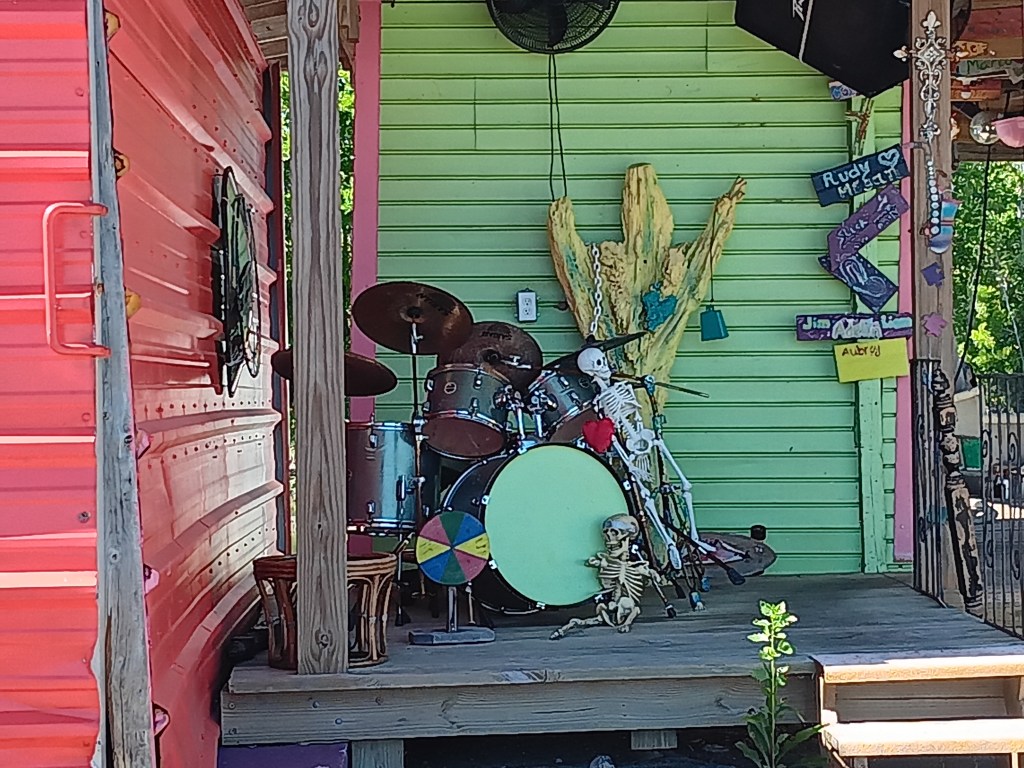
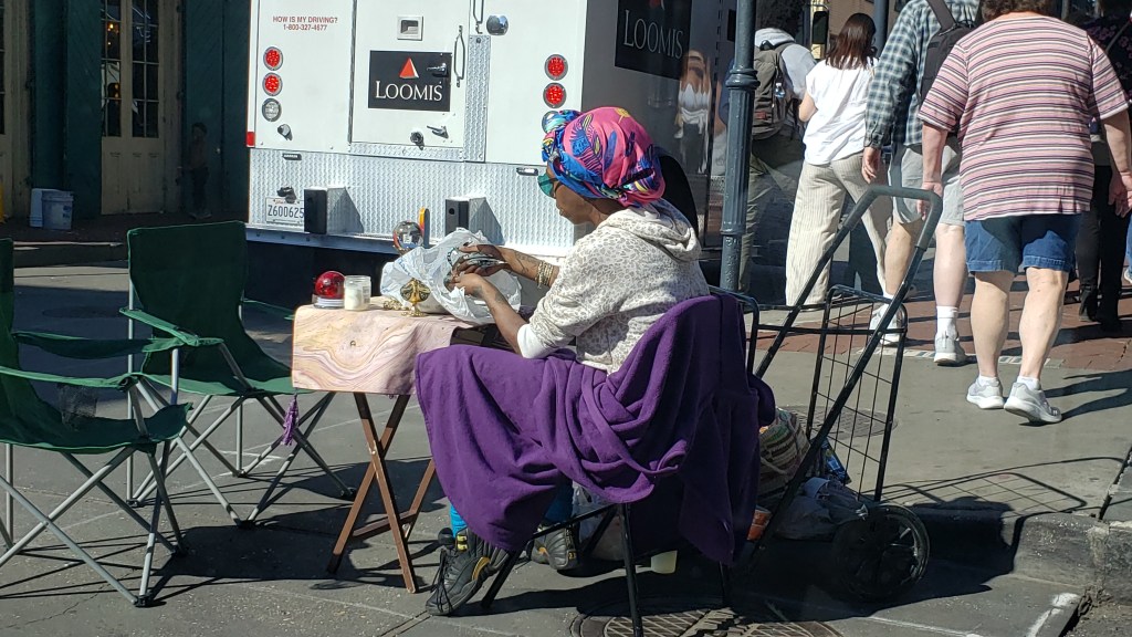
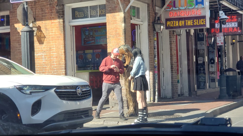
We bugged out after Trumpet Mafia finished their set, and we headed over to the French Quarter to get our fix of iconic New Orleans and massive, inebriated crowds. To be fair, most people were probably at least somewhat sober, but the area’s open-carry alcohol policy is always in full swing, leading to happy pedestrians rambling in the streets and traffic nearly at gridlock.
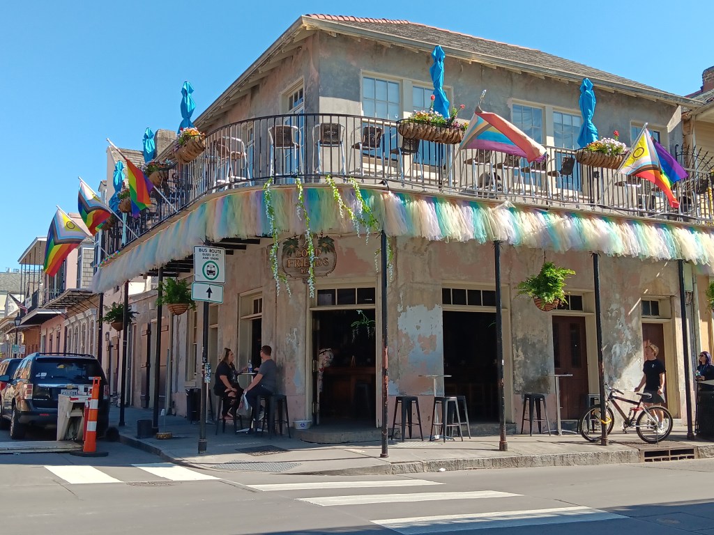

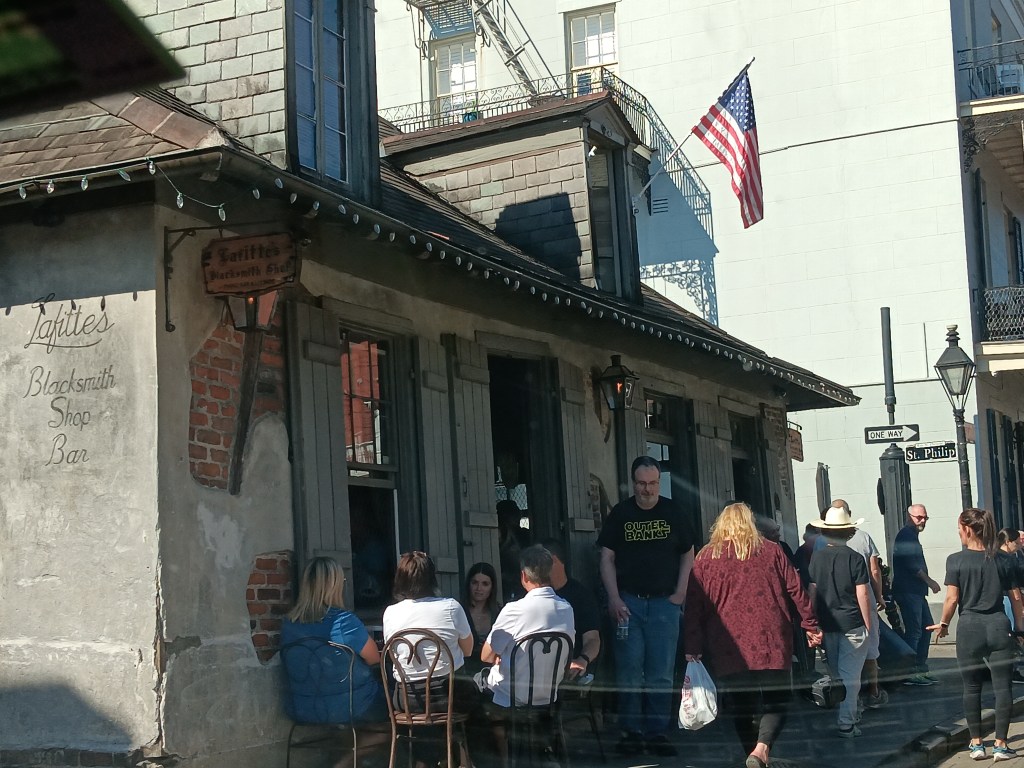
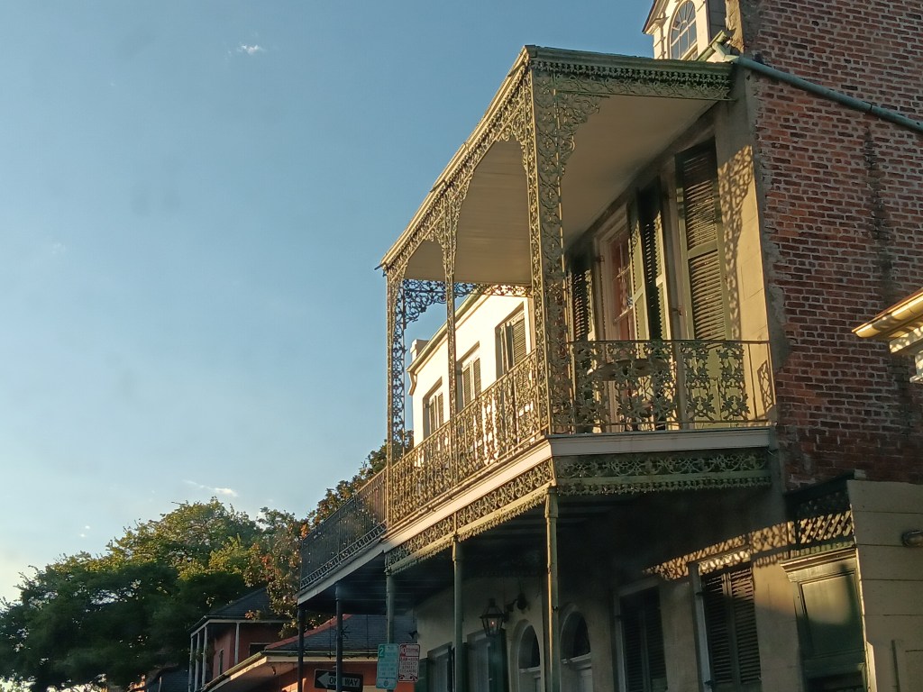
The upside to driving Nippy through the masses was the chance to thoroughly enjoy the architectural details that make New Orleans such a great city. So much of it is just beautiful. It’s one of those locations that, once you’ve seen it you never forget it.

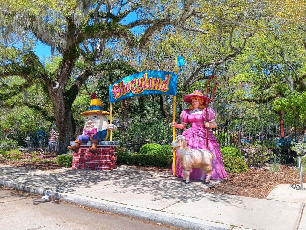
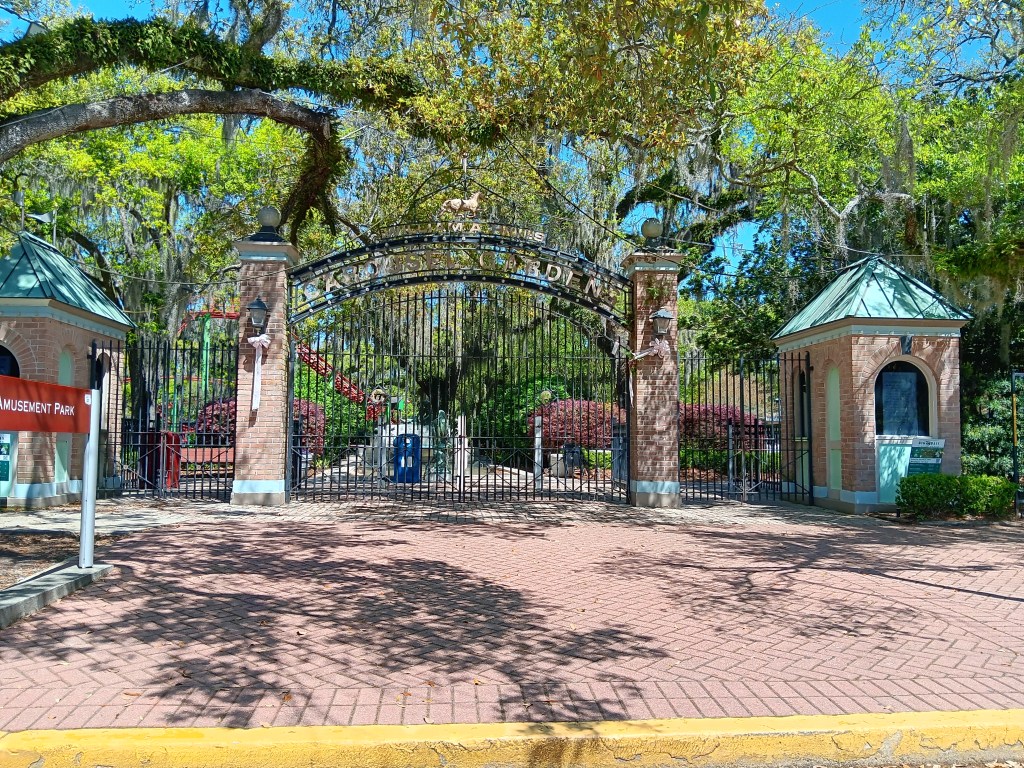
We drove through City Park the next day, primarily for the big dog park, which we discovered was only open to those with a membership. The park itself, however, blew us away with how much it offered, and we could only imagine how fantastic it would be to live nearby. Anything you could ever want from a community amenity could be found there. Storyland for young children, a mini amusement park for older kids, botanical gardens, Putt-Putt golf, all manner of enjoyment on land and on water, and, we noted, an outlet of New Orleans’ famous Café Du Monde.
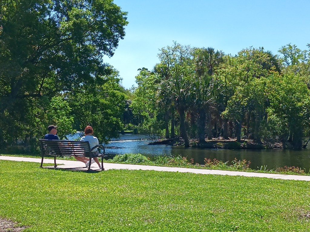
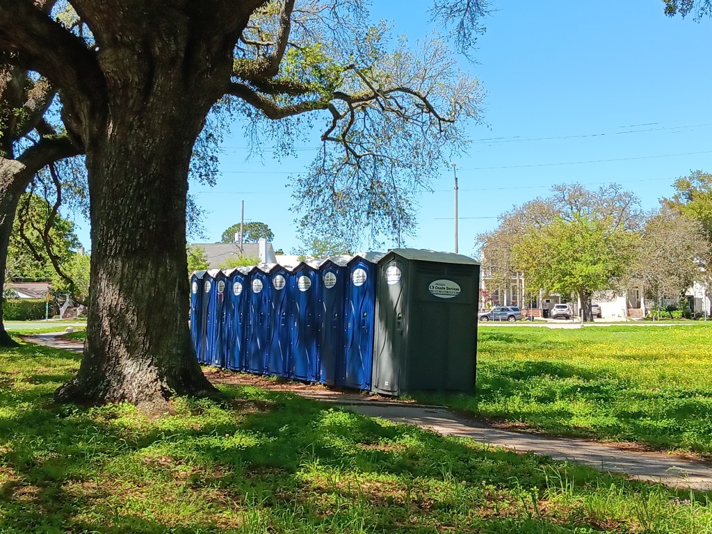
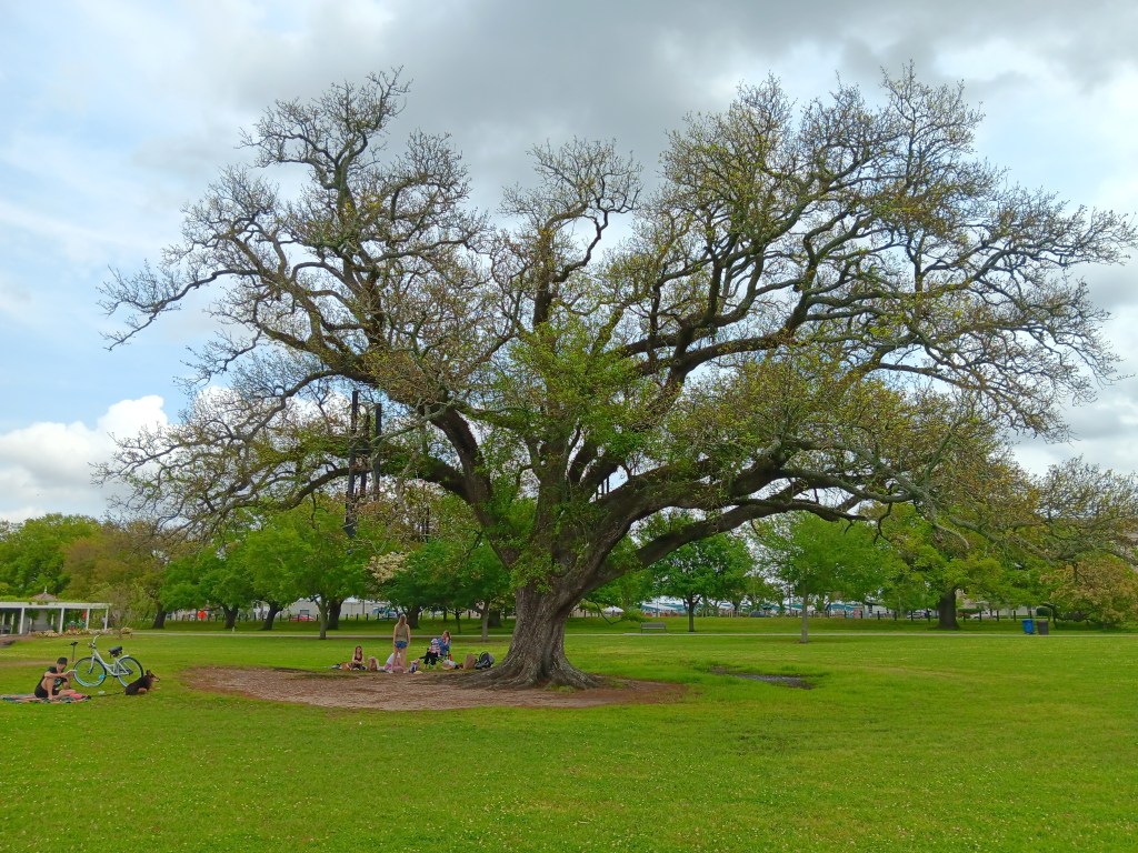
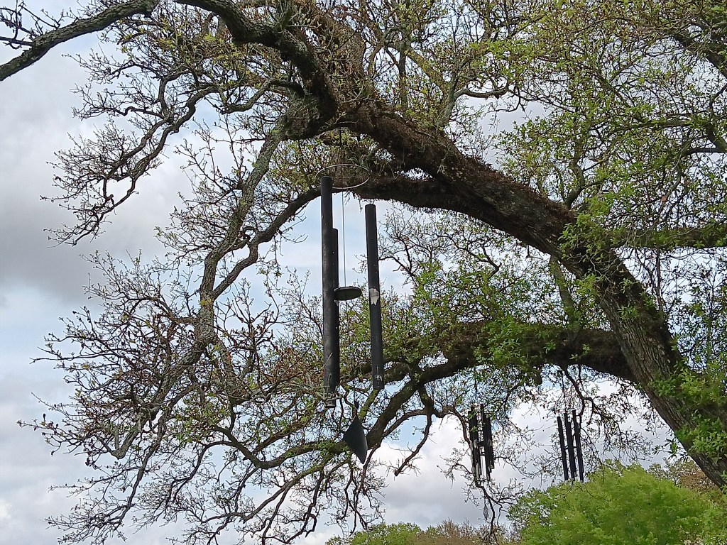
We didn’t stop, other than making a sprint for the porta-potties after all our morning coffee and tea, but we would return here later in the week for a good stroll, and during that time we discovered the enchanting Singing Tree, adorned with lots of wind chimes that created a gentle, pleasing sound with each breeze.
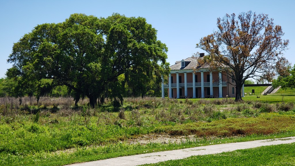
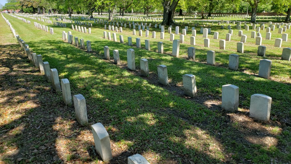
We headed out of the park to San Bernardo Byway, making a stop at Chalmette National Historic Park and Battlefield site of 1815 Battle of New Orleans, between American and British forces. Chalmette Cemetery is right next to the battlefield, with 14,000 graves of soldiers from the War of 1812 through Vietnam. Freeman Cemetery is here, too, with the graves of slaves.
But the coolest thing about the battlefield was, it was inherited by a freed Black man, Jean Pierre Fazende, after the Civil War, who partitioned it off and sold plots to former slaves, creating Fazendeville. The not-cool part is, the National Park Service essentially took back the land in 1966, some say to “honor the sesquicentennial,” other say it was done to break up the community for voting and school segregation reasons. Either way, the thriving village was destroyed, and those who had homes there ended up in New Orleans’ Lower 9th Ward, which later suffered the most damage from the levee failure after Hurricane Katrina.
The Byway also passed through St. Bernard, where 81% of the buildings (20,229 houses) were damaged on Aug 29, 2005, due to Hurricane Katrina. Then Issac hit –twice—in 2012. Seventeen miles south of New Orleans, the area is practically surrounded by water at the best of times, but when the sea moved in during the hurricanes, devastation happened.

We ended at the tiny fishing village of Shell Beach, a funny little place that’s pretty much just one street, with a quirky sense of humor.
We took another drive through the French Quarter hoping for a stop at Café Du Monde or Beignet Café, but again, it was a no-go. But this visit turned into a reminder that you never know what you’re going to see, and we saw some stuff.

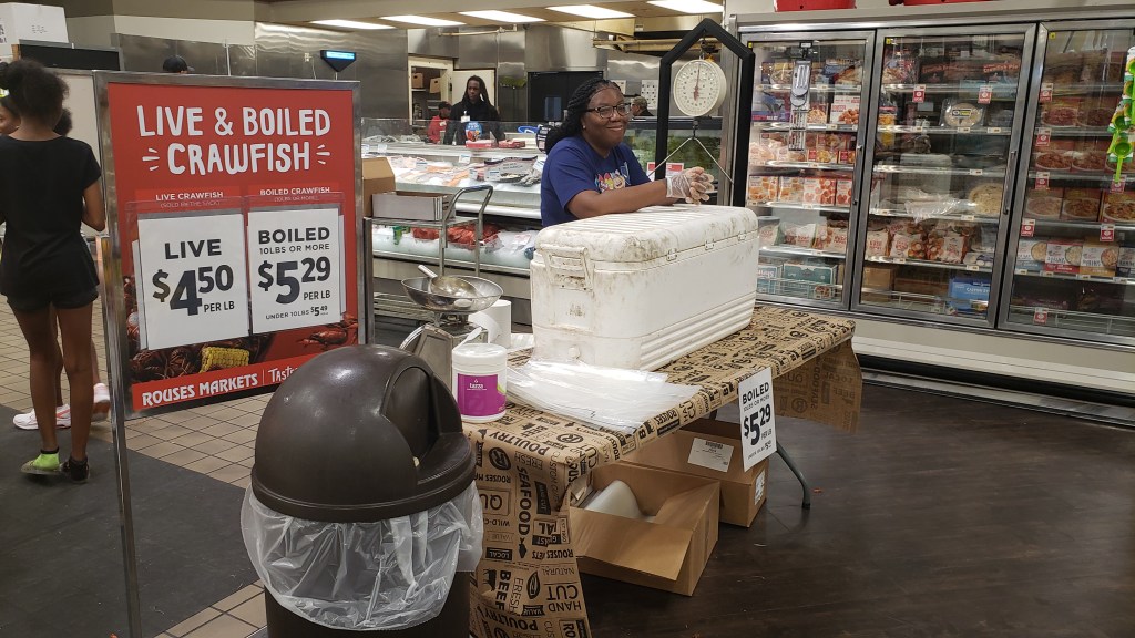
Instead, we stopped at Rouse’s grocery store to pick up something for dinner, and discovered Louisiana is even more serious about its crawfish than we thought. Cookin’ ‘em up in the parking lot, sellin’ ‘em inside the store, fresh and ready to devour. What a wonderful world we live in!

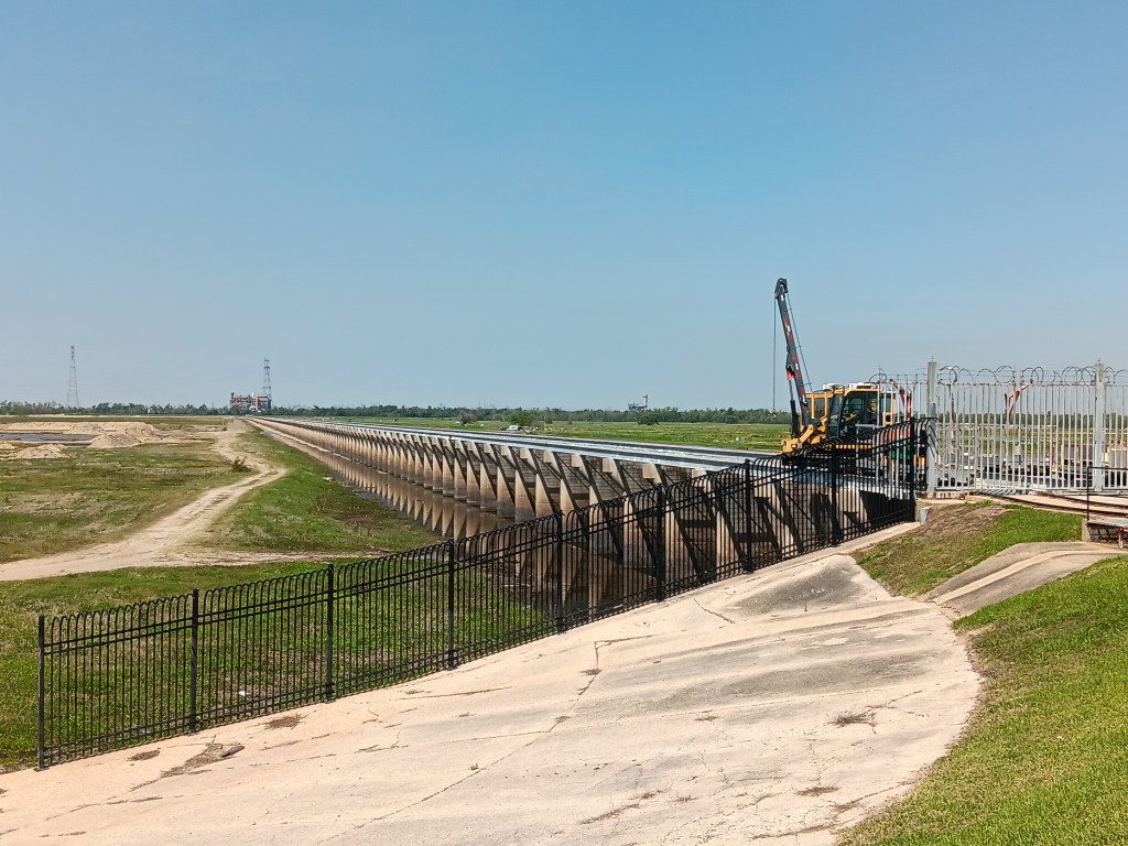
Our next road trip was out to swamp country, starting at Norco, home to the Bonnet Carre Spillway flood control operation. Now, we’re not engineers, so maybe this is an important feature for flood control, but we did wonder how the big spaces between the spillway’s wooden slats were going to stop much water.
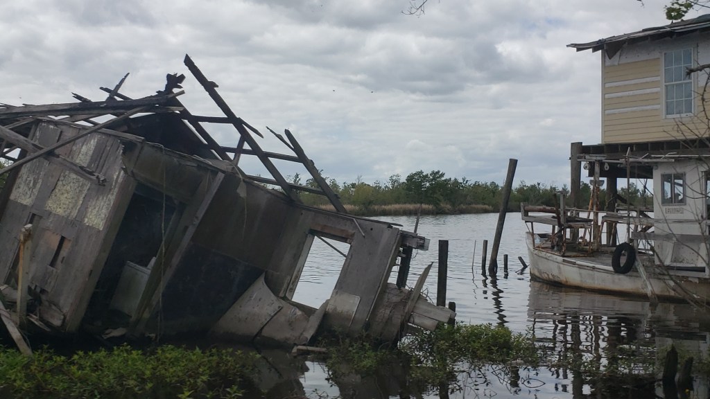
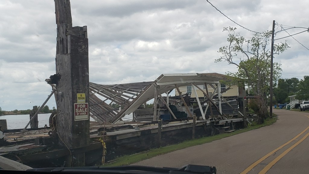
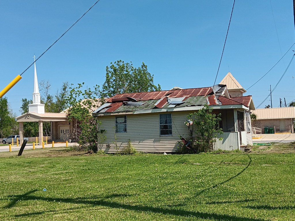
So many homes and businesses we saw along our drives still stand as stark reminders of the hurricanes’ power.
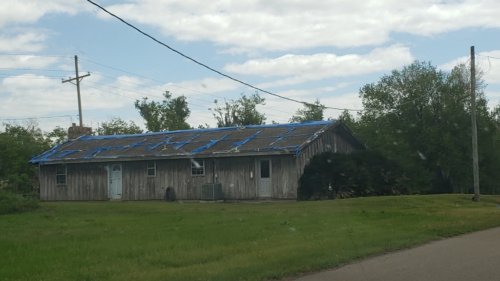
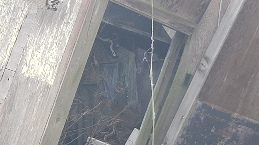
A few metal roofs told such a detailed story that it was easy to imagine every moment as the roof panels were being tortured and stripped away by the wind.
We then passed through Garryville hoping to find the Timbermill Museum Pond Trail, but when we arrived it seemed the museum and its trail packed up and went home a decade or two ago, and were nowhere to be found.
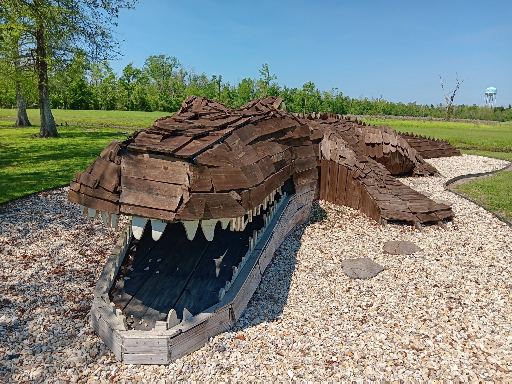
But no matter. Our next adventure was a giant gator hunt, so our excitement level remained high. When we found it, we snapped a dozen photos like the tourists we are.

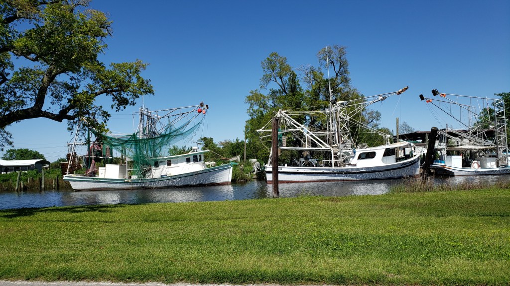
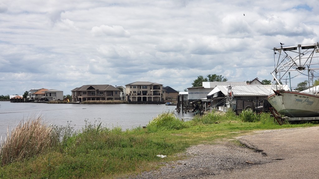
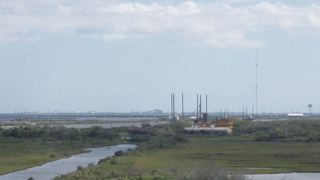
The next day found us heading south on 310 and 90 through series of small, rural towns, with random ships on one of the canals. Much of the area south of New Orleans is strips of land with water on both sides, so fishing, crabbing, and shrimping are the main ventures, along with big industrial refineries.
Bayou Gauche prompted a little detour off our path, mainly because we liked the name.
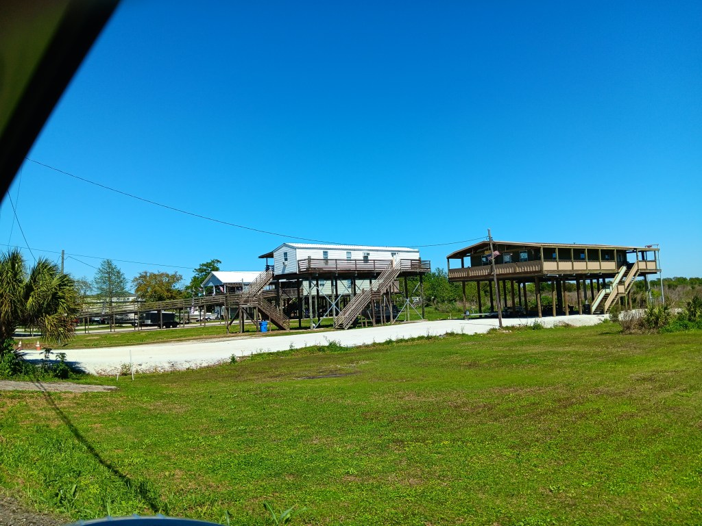
We drove on to Leeville, where we veered onto a massively long bridge to Port Fourchon, the furthest south we could go and still be on terra firma.

There have been many, many times during our trip that we’ve “felt” how hard-working our fellow Americans are, and how much our own lives are surrounded by conveniences of every kind. The rural, coastal areas of Louisiana impressed us with the level of self-sufficiency they require, and the ability to survive in such harsh and natural locations.

We’d packed a lot of New Orleans into just a few days, but we weren’t done yet.
