On The Trail Of The Oregon Trail


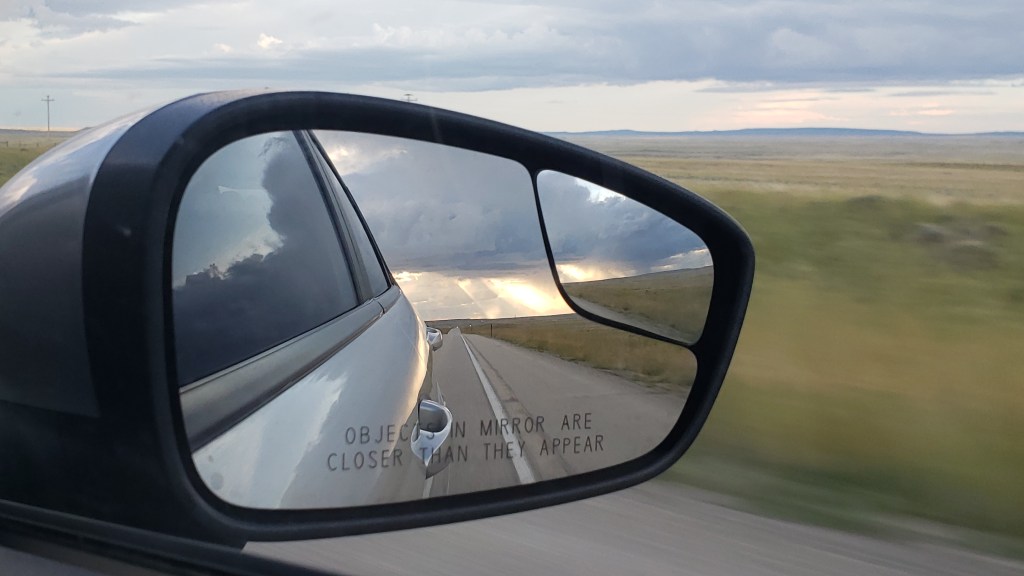
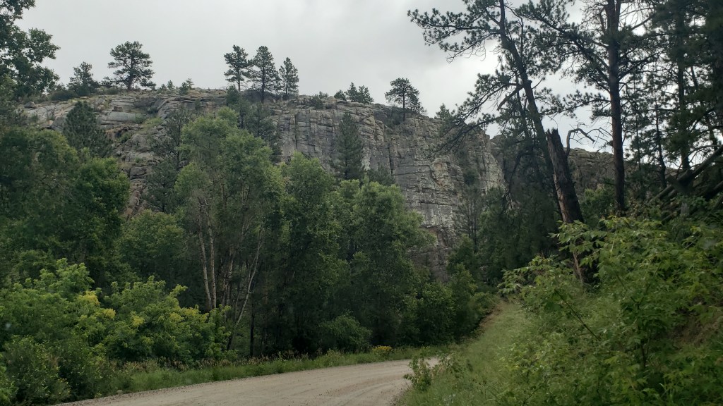
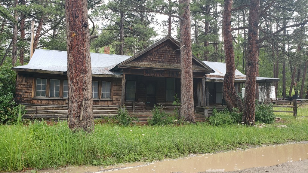
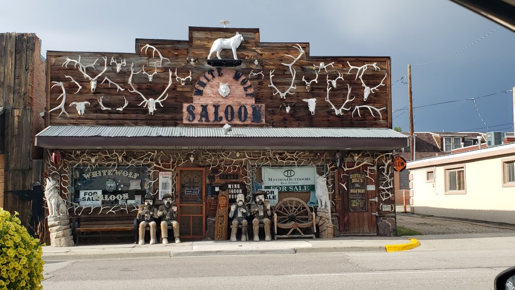
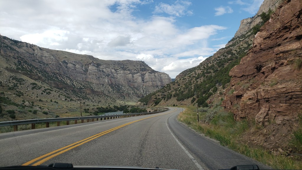
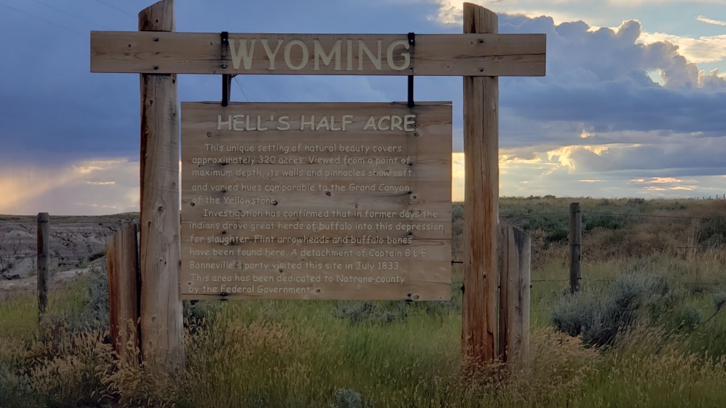
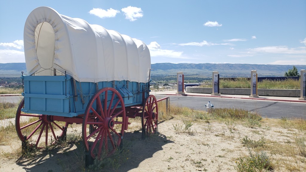
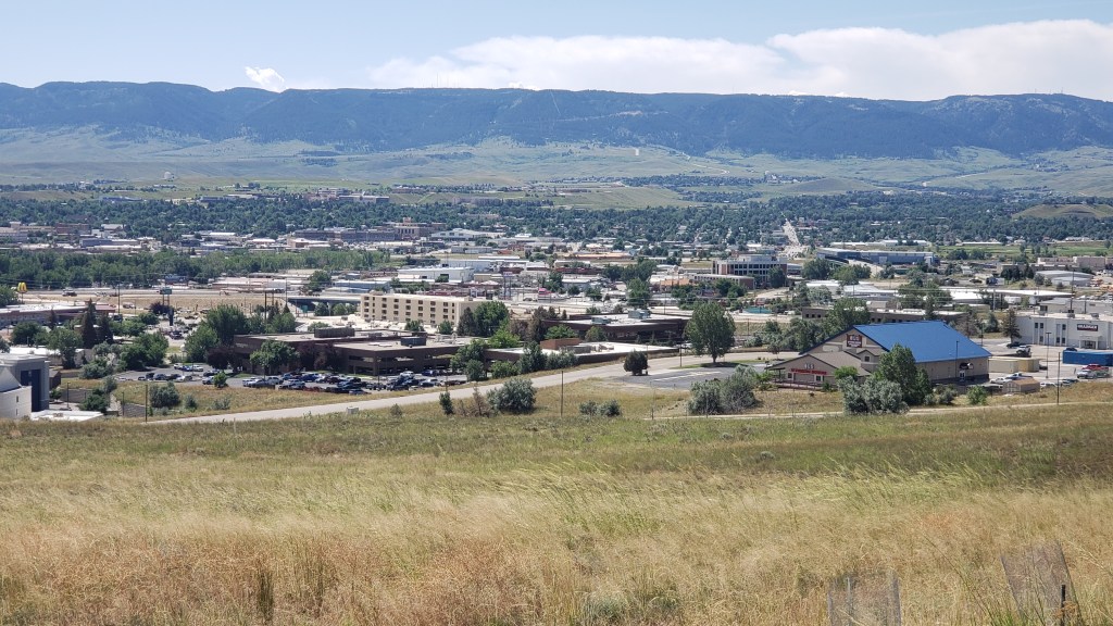
Whenever we see a daunting mountain or endless rolling hills we think of the pioneers who made their way west with no smooth pavement to ease their rattling teeth and overworked horses or oxen. The Laramie Range at the southern edge of Casper, Wyoming was one such obstacle that proved the people who pushed westward let nothing stand in their way.

Present-day Casper, Wyoming, with the Laramie Range in the background

Two trails are famous in the U.S.: The Pony Express (Kansas City, Missouri to San Francisco, California) and the Oregon Trail (Independence, Missouri to the far reaches of Oregon). There were actually two more major trails, we came to find out, that cut their way through Wyoming: The Mormon Trail, which started in Illinois and ended in Salt Lake Valley, Utah, and the California Trail, from Kansas City, Missouri to many places in California). All of them passed through Casper.

The Pony Express isn’t on this map, but it ran roughly along the same route.

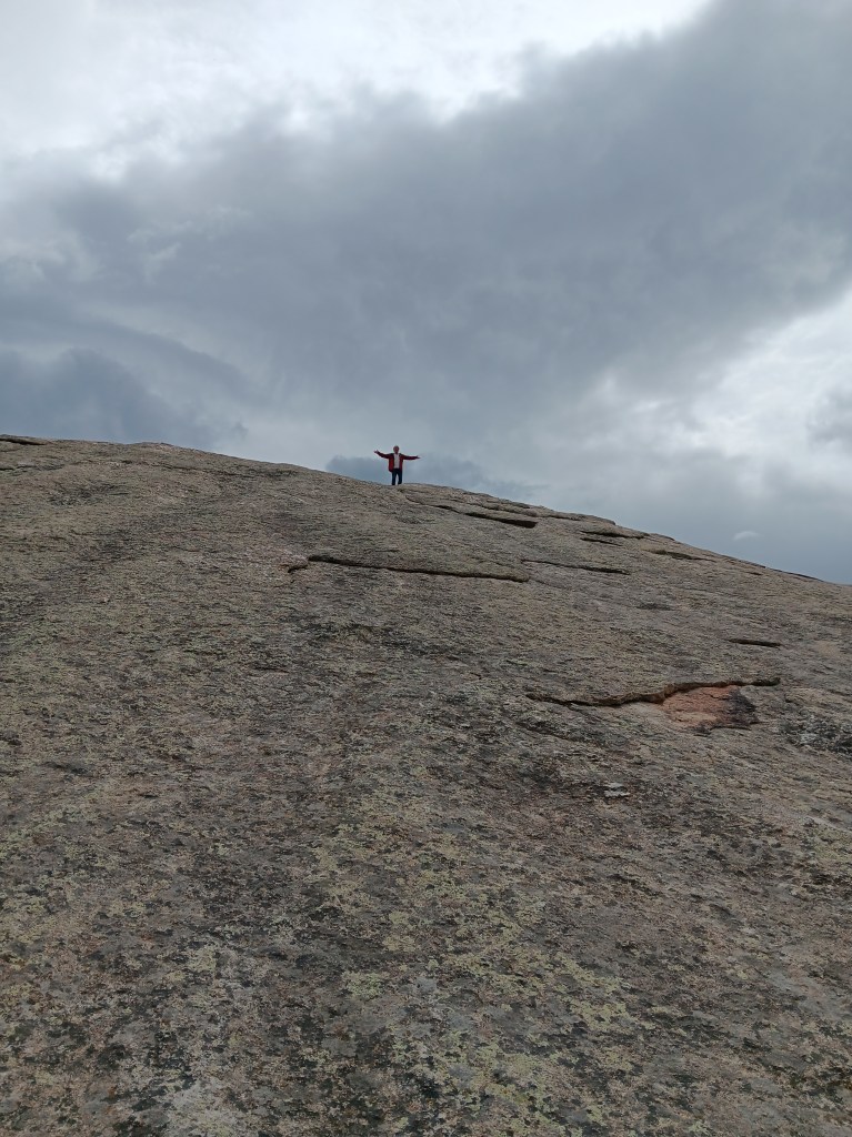
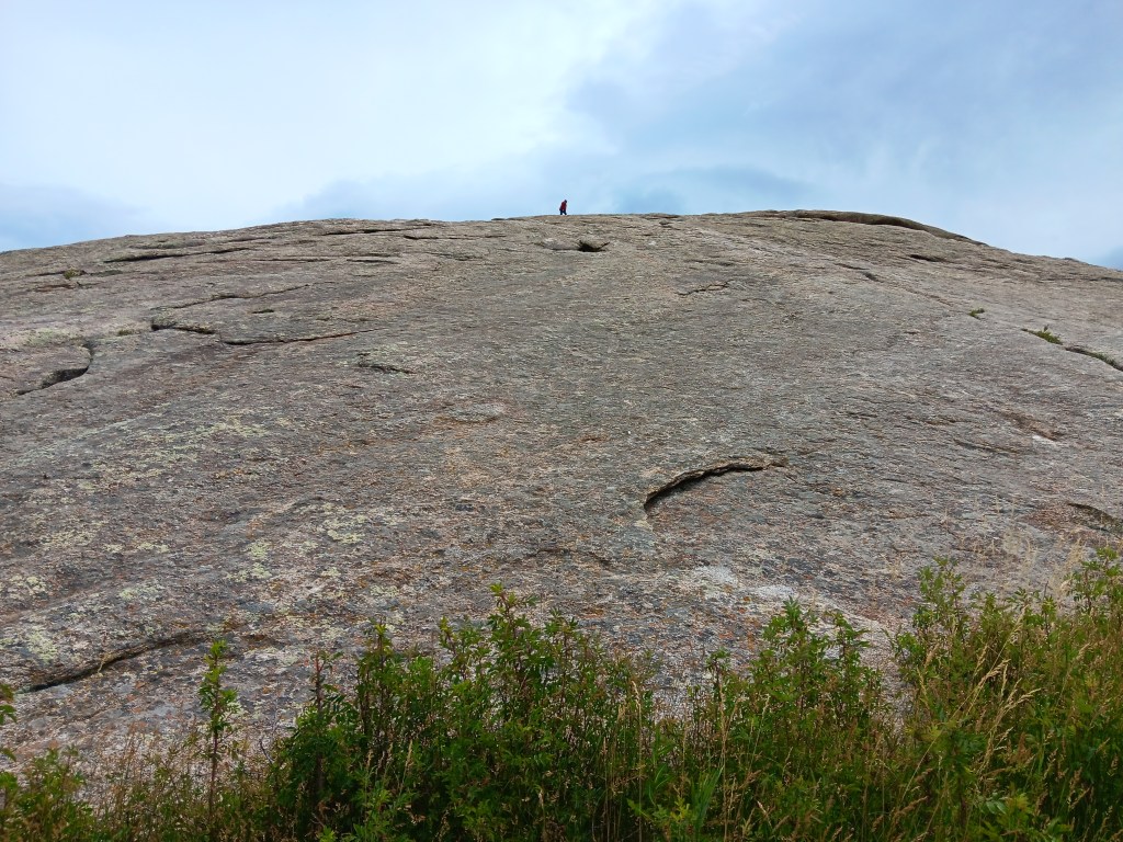
For some, it was a 2,000-mile journey from beginning to end, and it’s quite incredible that specific points along the way were used by all or nearly all of them. Independence Rock was one of the landmarks they looked for, and many left carvings on the hill that marked their passing.

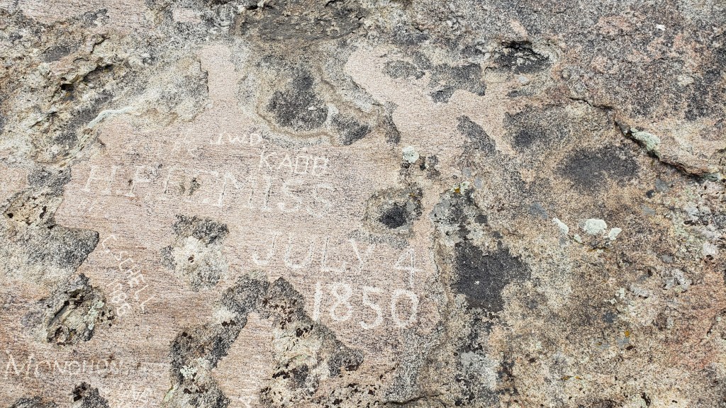
Independence Rock was an importation milestone. Reach the huge granite mound by July 4 (hence, its name) and you’ve got a chance of surviving the rest of the trip. Arrive late, as part of the ill-fated Martin Company Morman handcart expedition did, and disaster is the likely result.

Simon, of course, had to climb to the top, as other visitors were doing.


Ruthie, of course, wanted to follow him. Her toenails insisted otherwise.


View from the top

Martin’s Cove, ten miles to the east, tells the 1856 Morman Handcart Disaster story. Under the guidance of the Edward Martin Handcart Company, the season’s final two (of five) English emigrant groups departed Iowa City, Iowa in late July. By mid-October, having been delayed by snowstorms and suffering from illness, fatigue, and malnourishment, 50 of them were dead. It became the greatest single-event loss of life of the country’s entire western migration.

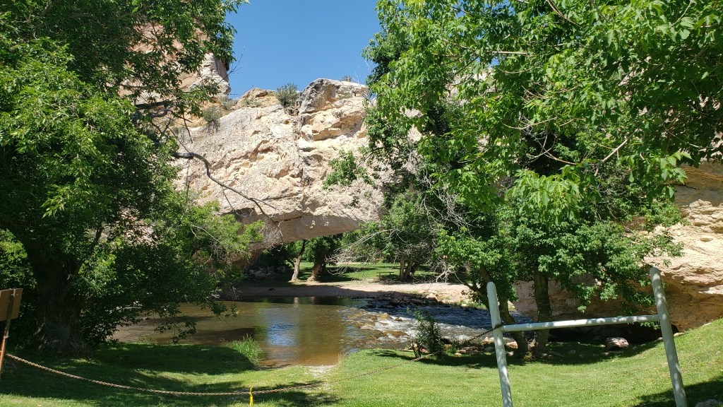
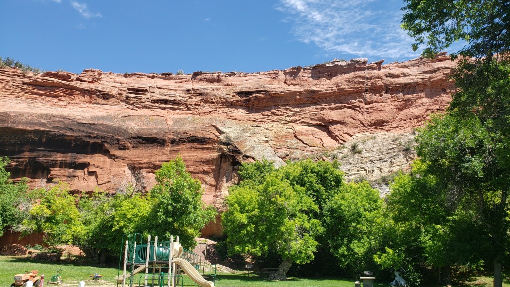
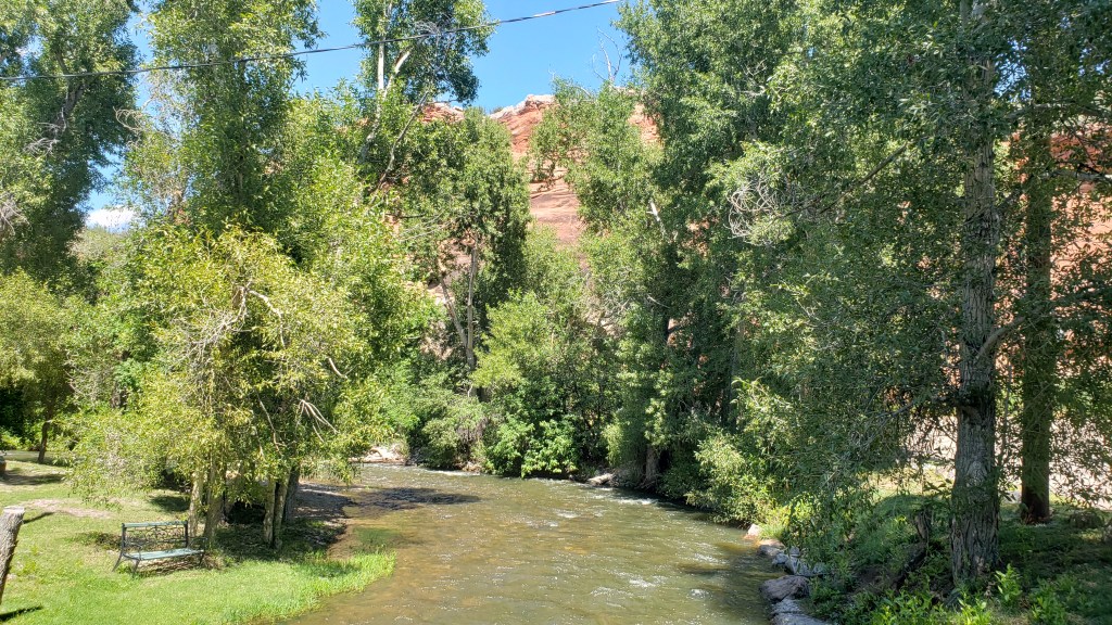
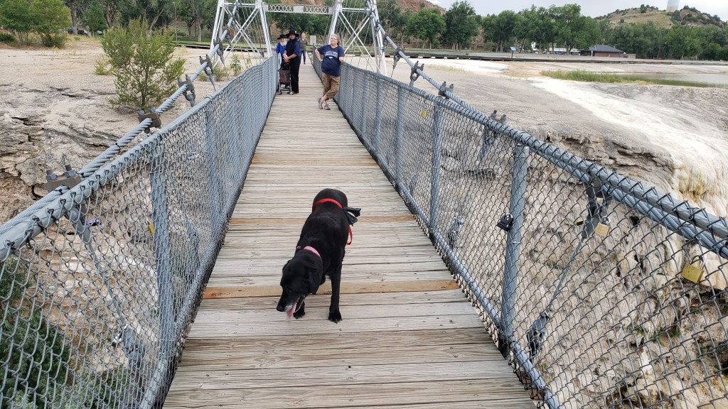
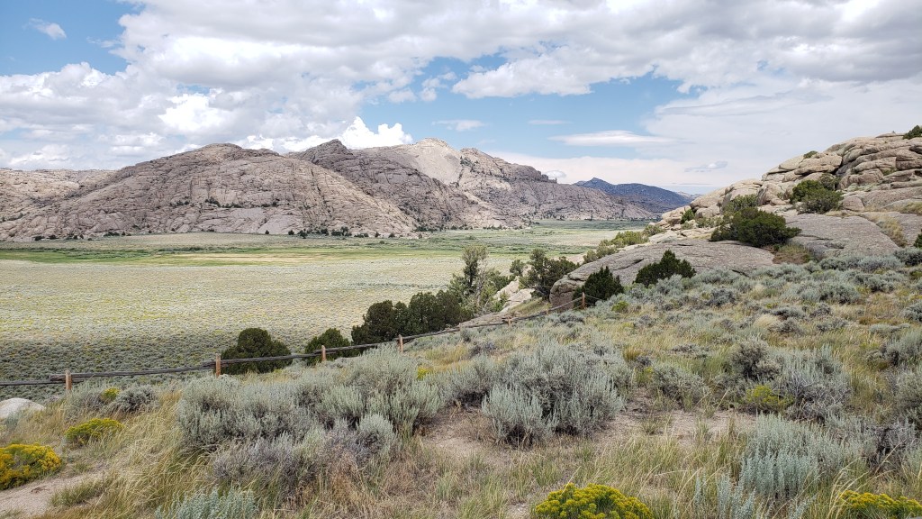
Another geological landmark the westward expeditions looked for was Devil’s Gate, near Martin’s Cove, a gap that allowed them to travel south of the area’s impassable river gorge. All four “trails” passed through this gap, and their wagon and handcart ruts are still visible. We couldn’t see them, nor the former Martin’s Cove camping site the travelers used, because (say it with me…) NO DOGS are allowed on the trails.


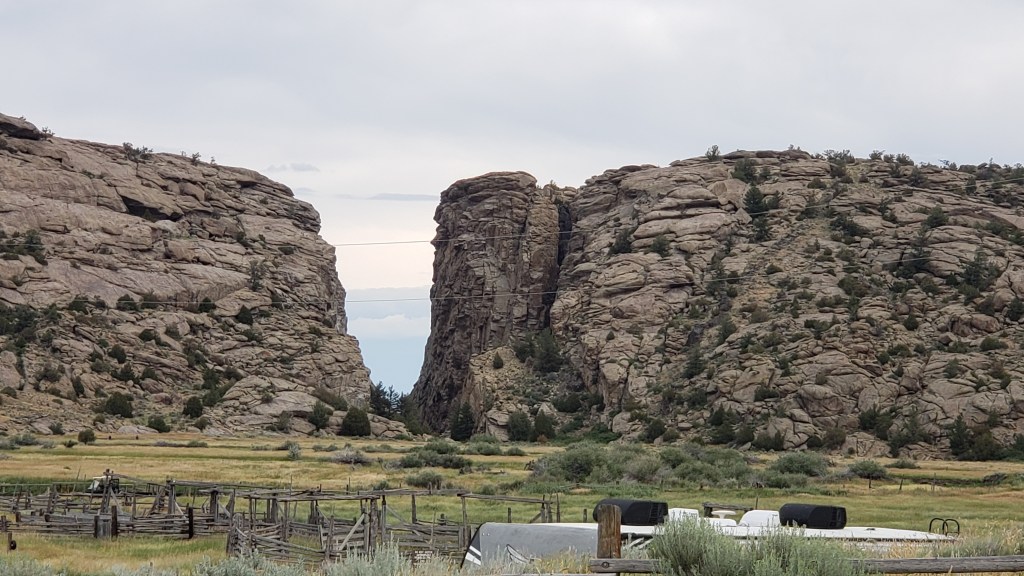
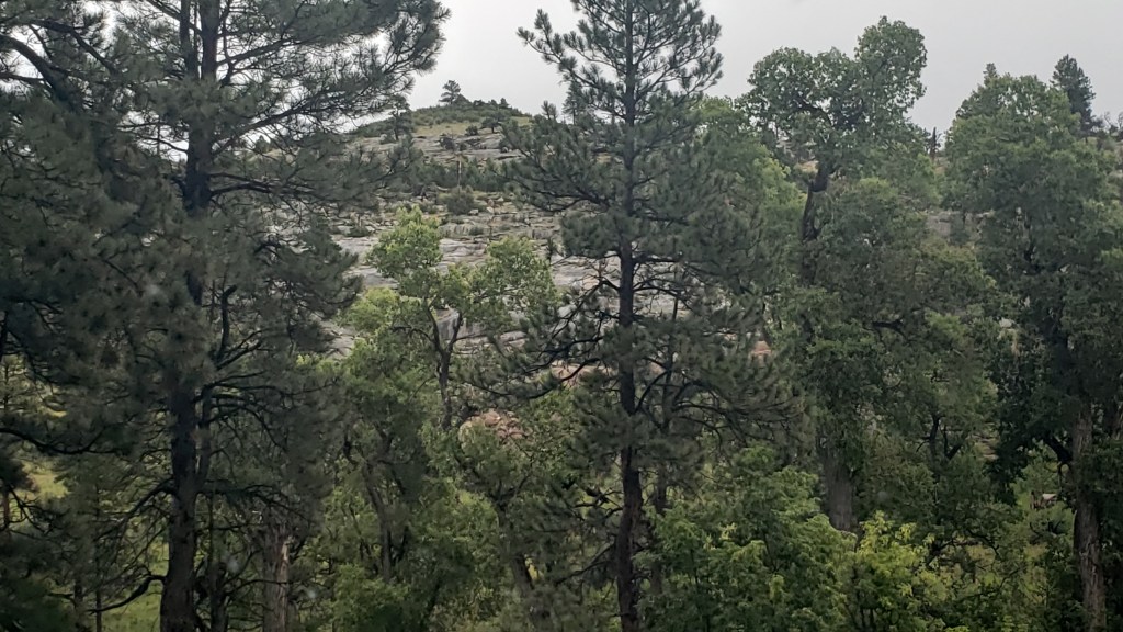
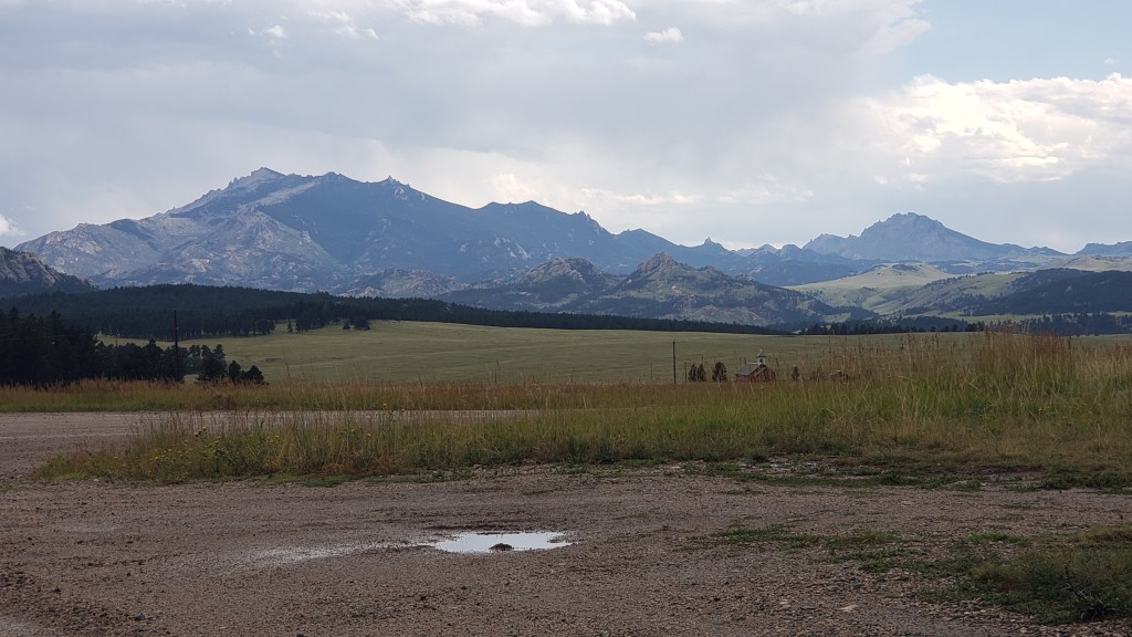
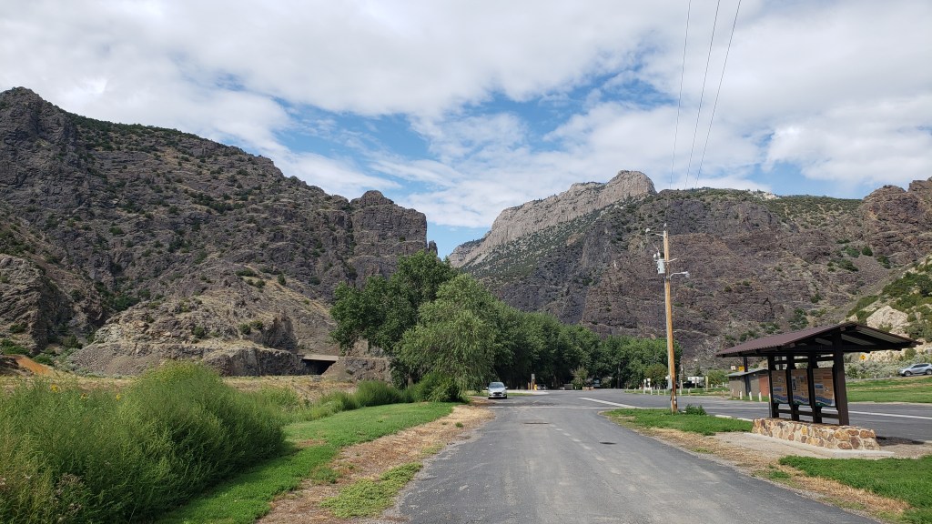
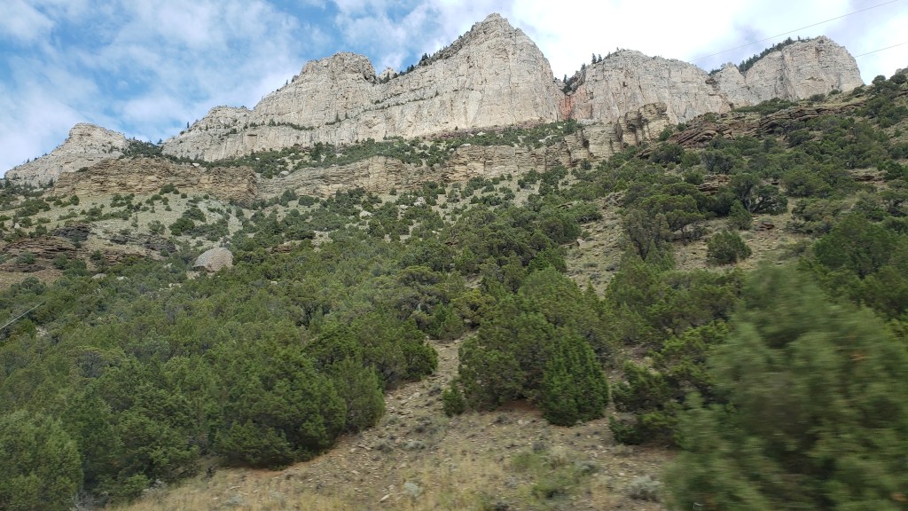
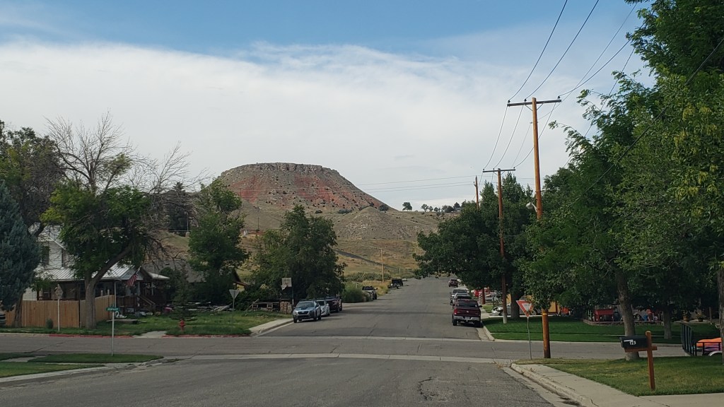
A third landmark was Split Rock, a camping and grazing site one-day’s travel (12 miles) from Devil’s Gate, distinctive for the enormous V-shaped “split” (more like a natural cut-out) at the top of the mountain. You’ll see it slightly to the left of the middle mountain’s center in this photo:

When we moved Fati to a new campground in Wheatland, Wyoming, north of Cheyenne, we made a day trip out to the Guernsey Ruts, Register Cliff, and Fort Laramie, also milestone locations on the trails.


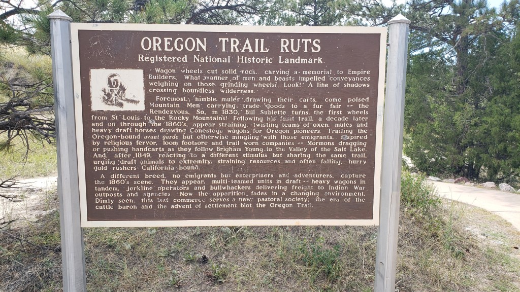
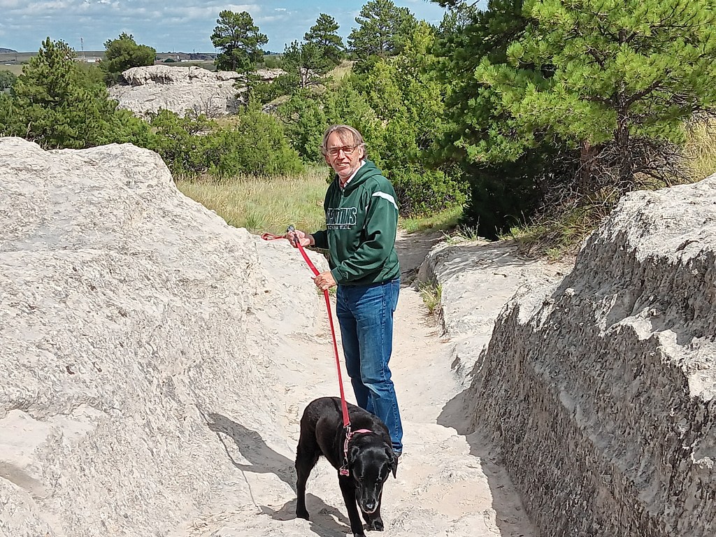
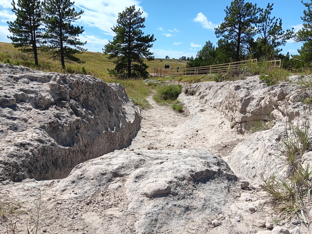
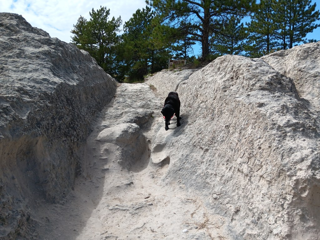
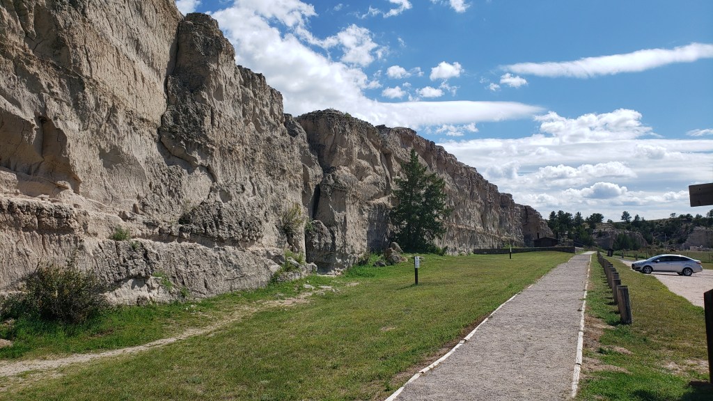
The Guernsey Ruts are located at Oregon Trail Ruts State Historic Site, where wheel tracks made by covered wagons and handcarts left deep gashes in the soft sandstone, which are now on protected land. Some are five feet deep, and it’s easy to see the wheels’ furrows and the deep pathway where people walked next to their wagon.

The ruts are at the bottom of the rocky side, and the walking trail is the deep gash just above it

Standing in one of the wheel-track ruts

For reference, this is an example of a “prairie wagon.” This reproduction is located at Fort Laramie.

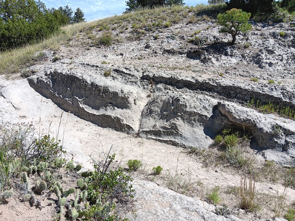
Visitors to the site are allowed to walk in the hard tracks, and we really felt a human connection to the slow, difficult climbs and drops the pioneers experienced as they plodded their way west. More than 500,000 pioneers crossed here due to the topography of the land, which is why the ruts are so deep.


Imagine having to get your wagon or handcart over this rock and into the established tracks

Even four-legged Ruthie needed a helping hand getting down the steep path

The one blot on this otherwise evocative site is the panels that tell the story of the trail only from the perspective of the soldiers tasked with “protecting” the emigrants’ passing through land that was home to native tribes. In a nutshell, the sentiment was that the tribes were hostile and it was perfectly fine to kill them “as needed.”


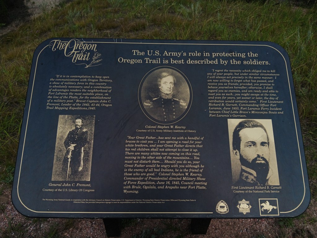
There are a few sites we’ve seen that give a nod to the people who actually lived on the land before white people came through, and their desire to continue living peaceful lives, but so far they’re certainly the exception. It’s impossible not to see these plaques’ quotes as a conscious choice.

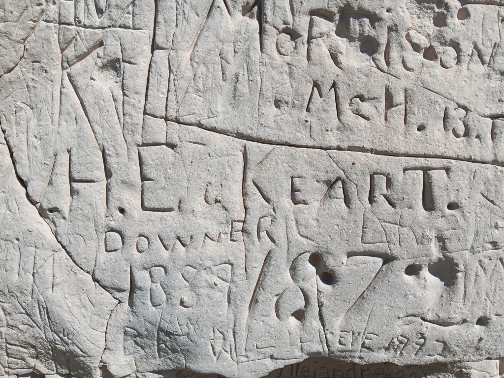
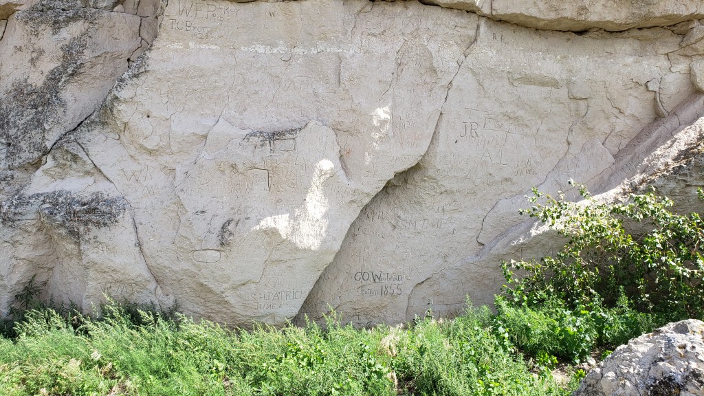
Register Cliff is about 12 miles east of the Guernsey Ruts, and it also holds the title of a State Historic Site. Here, trappers, fur traders, and emigrants rested during their journey west, and some carved their names and the date into the 100-foot-high limestone cliff.


We didn’t see the earliest dates that have been identified on the cliff (1797 and 1829), nor did we see petroglyphs and pictographs made by the native people long before white people arrived, but we did see some carvings from the mid- to late-1800s, and many carvings behind a fenced area are from the time the Oregon trail was heavily used.


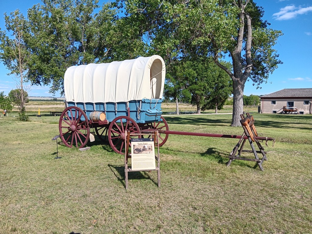
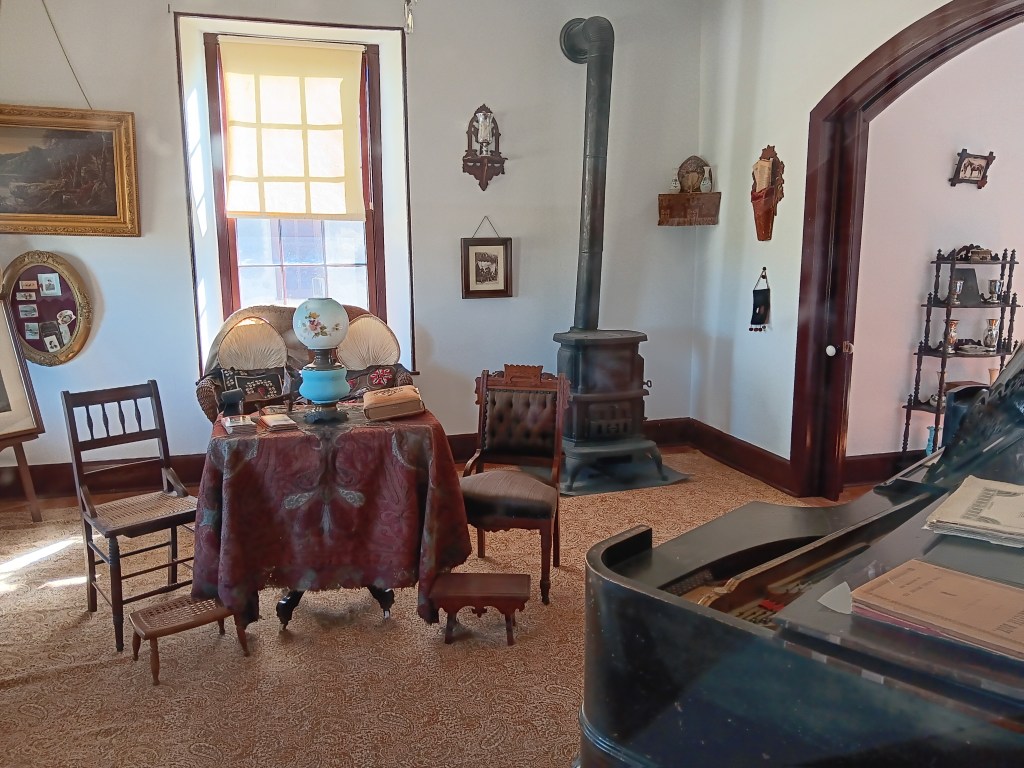
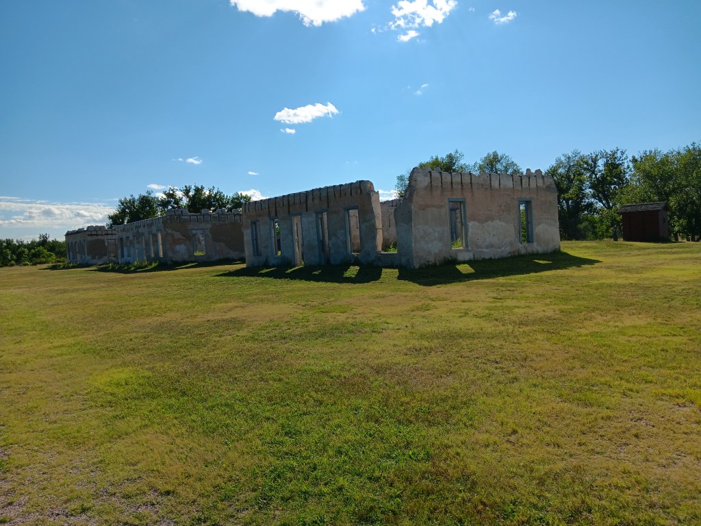
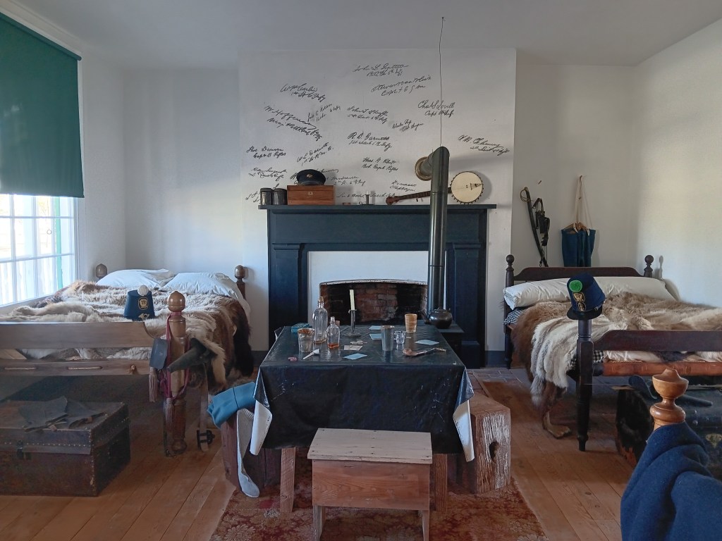
Fort Laramie – founded in 1834 as a trading post before evolving into a military post in 1849 – wasn’t the stockade-style fort we expected. Instead, it was more like a mini town, with necessities of daily living such as a bakery, a jail, a schoolhouse, barracks, and officer homes. It felt a lot like a military-specific version of Dearborn, Michigan’s wonderful Greenfield Village.

Barracks upstairs, living areas downstairs

Store

The officers’ homes were surprisingly luxurious

Some buildings are now just ruins

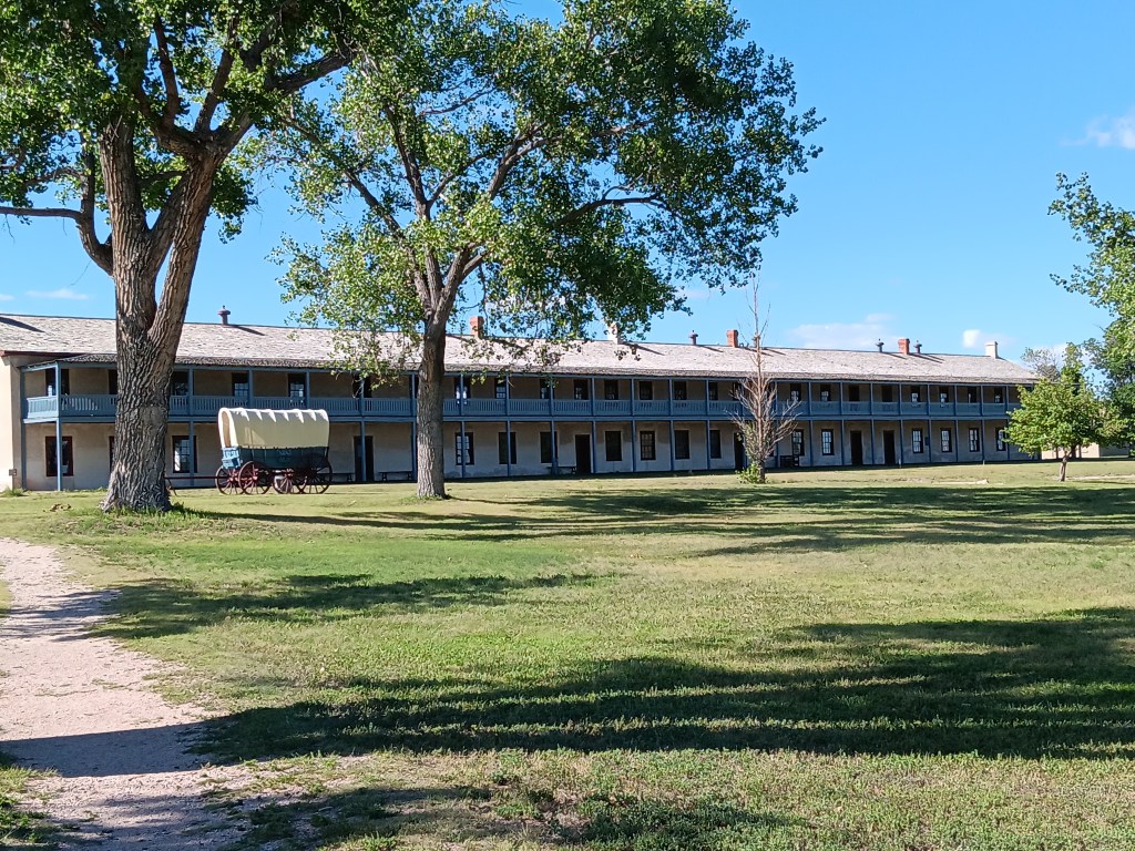
It was a place where emigrants stopped on their way to Oregon, Utah and California, as did some local tribes, to trade furs and hides for other goods. It was also a stop for the Pony Express from 1860-1861.

We don’t know what these signatures above the fireplace are all about, but they looked really cool and historical. A plaque wiht some context would have been nice.


We’re certain we’ll see a lot more sites having to do with the settling of this great, vast country, and when we do, we’ll be happy to share them with you.

When Nature Says “No.”


With four days in Evansville, Wyoming, on the eastern edge of Casper, we had plenty of time to seek out some of the pioneer migration hot-spots along with our scenic touring.

We’re going to split our Casper area stay into two separate blogs, one of general touring and a second taking in landmarks and locations having to do with the famous Oregon Trail and its three “sister” trails.

On our first day, we headed east to Ayers Natural Bridge at the recommendation of the Casper Visitor Center. If you follow us on FaceBook you already know the outcome. No Dogs Allowed under threat of a $100 fine, so we took some photos of the most perfect picnic spot in the country, and kept going.

Natural Bridge on a glorious day, perfect for a picnic. But not for us and our dog.

Eye candy everywhere you look. But not for us and the dog.

Babbling river is calling out, begging people to dine along its banks (not us).

Ayers was supposed to be our lunch stop, and having driven an unexpected 40 miles to reach it, we needed a detour off busy I-25 and found it along WY-94, which dead-ended at Esterbrook. At the top of a rise, we pulled over and enjoyed lunch with a view.


This is becoming a habit.

This turned out to be seriously remote driving, with the wonderful bonus of lots of wildlife.

Pronghorn are the most reliable animals in Wyoming. We see them everywhere.

We’ve seen fewer deer than we thought we’d see, but they do pose nicely when they show up.

We spotted Mama, then her fawn came galloping up. Just as we pulled away, a second fawn appeared.

The terrain did what Wyoming does, and changed from rolling hills to prairie to rocky outcroppings to the heady scent of pine forests. We are constantly amazed by what unfolds with each rise and dip in the road. All of this happened within a 10-mile span:


Esterbrook itself had probably seen better days. Most of it looked deserted, though there were a few homes that were clearly inhabited. Where they get their groceries, we do not know. The nearest towns were nearly an hour away.

Deserted.

Also deserted.

We did get our first view of what we thought was the Rocky Mountains, but, no, it turned out to be another view of the Laramie Mountains.


Simon had hoped to find a nice iced cappuccino in Esterbrook, having not yet learned coffee can only be found every 200 miles or so in places like Montana and Wyoming, and it had become our mantra to say, “Knock on someone’s door and ask them to brew you a pot” after our mortifying visit to tiny Leiter.

We returned to I-25 at Douglas, “Home of the Jackalope,” and found a train museum and, of course, lots of jackalope statues and cut-outs, along with some quirky little storefronts. The only coffee to be found was at McDonalds, but by the time we realized it we were well out of town.


The weather had been around us for more than a week, but we rarely had any.

Our next day’s touring in Nippy would be the longest we’ve taken on this trip, covering 374 miles. Most of them passed rolling hills, prairies, and ranches, so we’ll only cover the highlights, including one heck of a majestic canyon and one heck of a smelly park.


Having stopped at three major Oregon/Mormon/Pony Express sites, which we’ll cover in our next blog, we circled north along our route and detoured up highway 20 toward Thermopolis, named for the world’s largest thermal springs, which bubble up there. Highway 20 passes through the Wind River Canyon, honoring the river that runs through it.

Shoshone lived in the area for thousands of years, and other tribes including Crow, Arapaho, Cheyenne, Blackfeet, and Lakota, made seasonal migrations to the canyon. The Wind River Indian Reservation is still located here, and it holds great spiritual meaning.

We stopped at a park at the entrance to the canyon, and spent time looking through our binoculars for the Bighorn Sheep that live on the mountains. We didn’t see any, but it’s impossible to imagine they aren’t there, hiding behind the rocks.


Three tunnels punctuate the entrance to the canyon, and while they weren’t as tight as Needles Eye, they made for a grand transition.

Click Image for Video

It only takes about 30 minutes to get through the canyon itself, but along the way we were treated to varied mountainsides and towering peaks that rise to 2,500 feet on either side. Its oldest rocks date back to the pre-Cambrian period, more than 2.9 billion years ago.


Thermopolis was no slouch, either. The town features a mini Devil’s Tower as its backdrop…


… but it’s the smell of Sulphur that permeates the thermal area that really catches your attention, especially when you’re up close to a spring. As Simon would say, “Whew! What a pong!”

White Sulphur Spring
Click Image for Video

Can’t. Stand. The stink!

The park is very pretty, and very well used. Along with the springs, we found travertine formations and a swinging bridge (delightful to some, terrifying to others; we’ll let you guess which one of us has an overactive survival instinct).


Ruthie didn’t mind being on the bridge.


We spent quite a bit of time there, in spite of the stink, but there was one more surprise in store for us as we made our way east back to Evansville.


Smack in the middle of nowhere is Hell’s Half Acre, a mini badland of sorts that seems to just drop away from the surrounding plains. You can’t get the size of it from a photo, but it’s 150-feet deep. That cave near the right-hand side is massive.


Once again, there was weather all around us, but we only got a few drops and a lovely rainbow to cap off a long but very satisfying day.