The Luscious Wildness of Yellowstone National Park


We fell in love with Yellowstone several years ago, and could hardly wait to return to the park for a few days, taking in as much of Hayden and Lamar valleys as possible. Considering the stellar experience we’d had the first time we visited, would it leave us with memories every bit as grand?

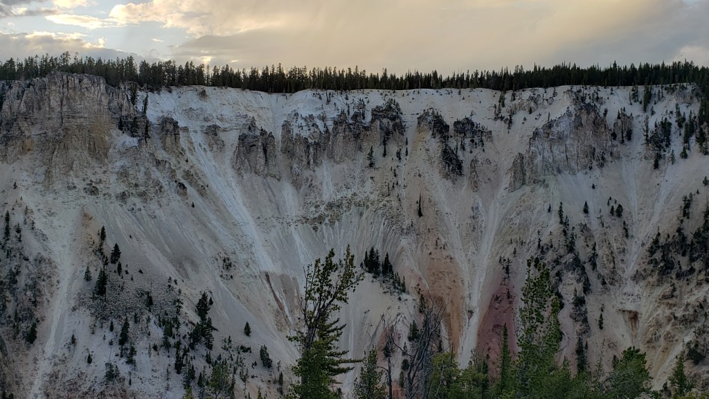
It’s hard to know what to say about this glorious park, so, along with some scene-setting, we’ll let photos and video snippets do much of the talking. Nature’s glory simply cannot be improved upon.
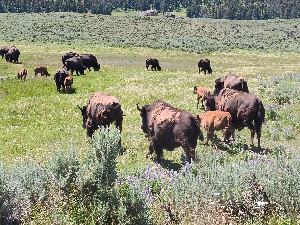
Stampede! Well, mini stampede.

Simon had been monitoring the park’s West Yellowstone entry for a few days, and it became apparent the now-infamous hours-long wait times to get into the park eased up just after noon, so we aimed for entry around 1pm and had two cars in front of us, for a total wait time of 5 minutes.
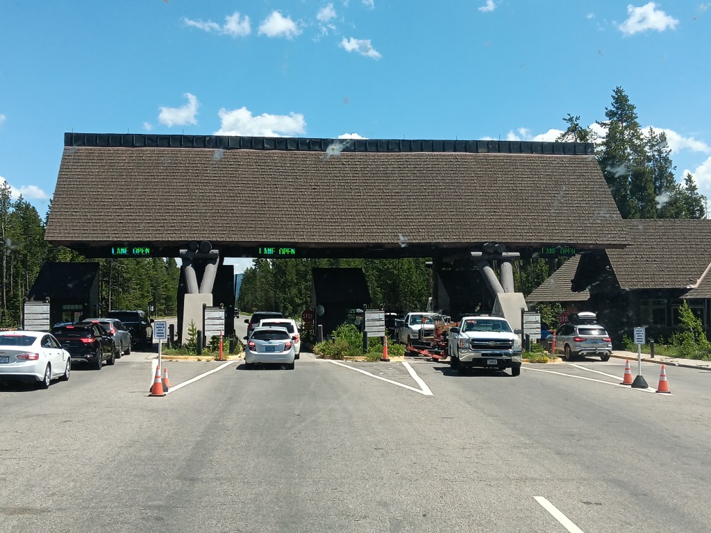
What’s the last thing that went though all those bugs’ brains before they hit our window? Their butts. (*Lame Dad joke, and sorry about all the bug guts on the window*)

When planning the trip, we’d been excited to get one of the last two sites available in the Fishing Bridge full-hookup campground inside the park, having snagged it shortly after midnight, moments after bookings for our dates opened. That’s just how quickly these spots fill up.

As well as we knew the park from our previous stay, we hadn’t factored in the length of the drive to the campground once we arrived. Two hours after the entry point, we finally reached Fishing Bridge. We quickly hooked up, then headed out to explore as dark storm clouds began to gather.


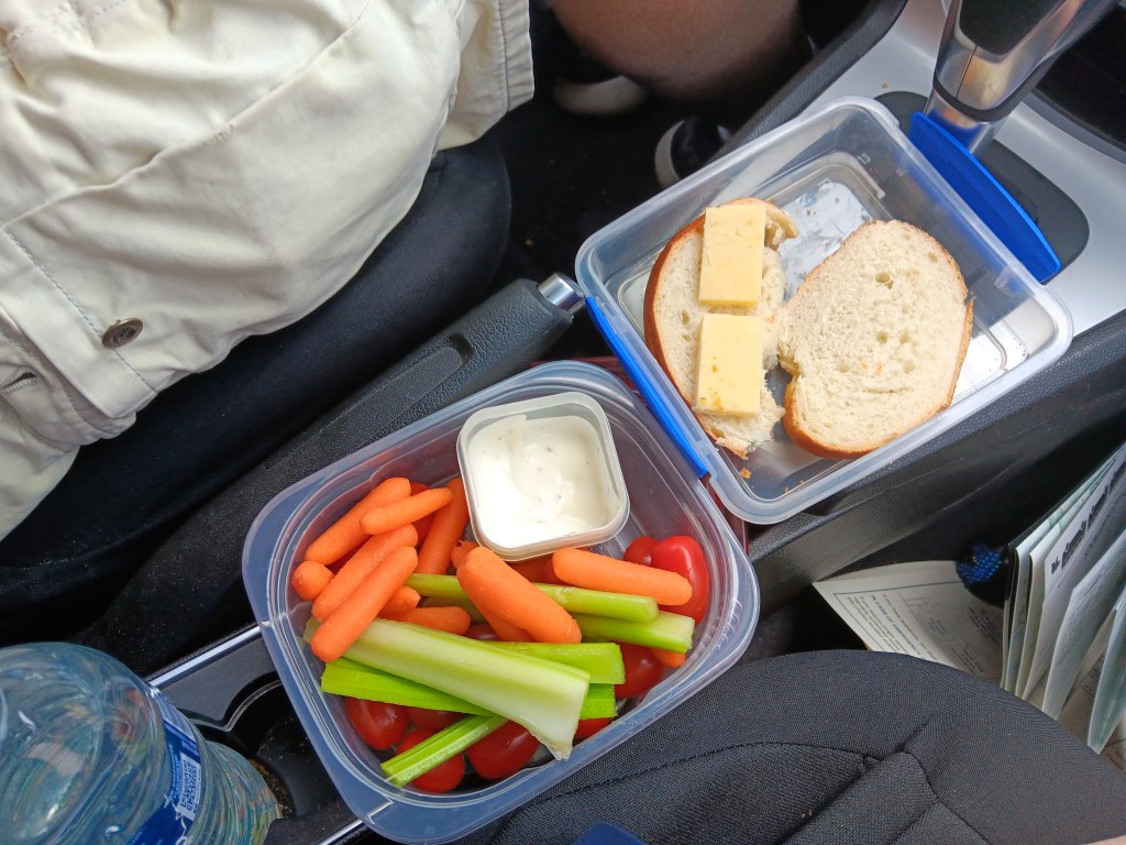
Like much of Montana and Wyoming, you can see those storm clouds coming from a vast distance away, so we knew we’d have a bit of rain, then sunshine again. With that in mind, we headed south to Yellowstone Lake for our picnic lunch in the car, waiting it out until the storm passed.
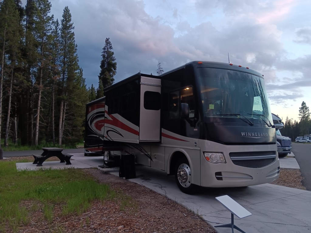
Fati and Dishy (our Starlink internet) gearing up for a big storm

Lunch!

The wind was biting, but it warmed up once the storm passed

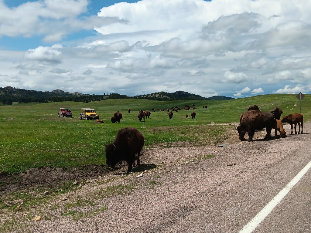
Backtracking north again took us to Hayden Valley, stomping grounds for bison and elk. Unlike our first visit, which started with herds of bison shortly after we entered the park, this was our first major sighting, beyond a few stragglers here and there.
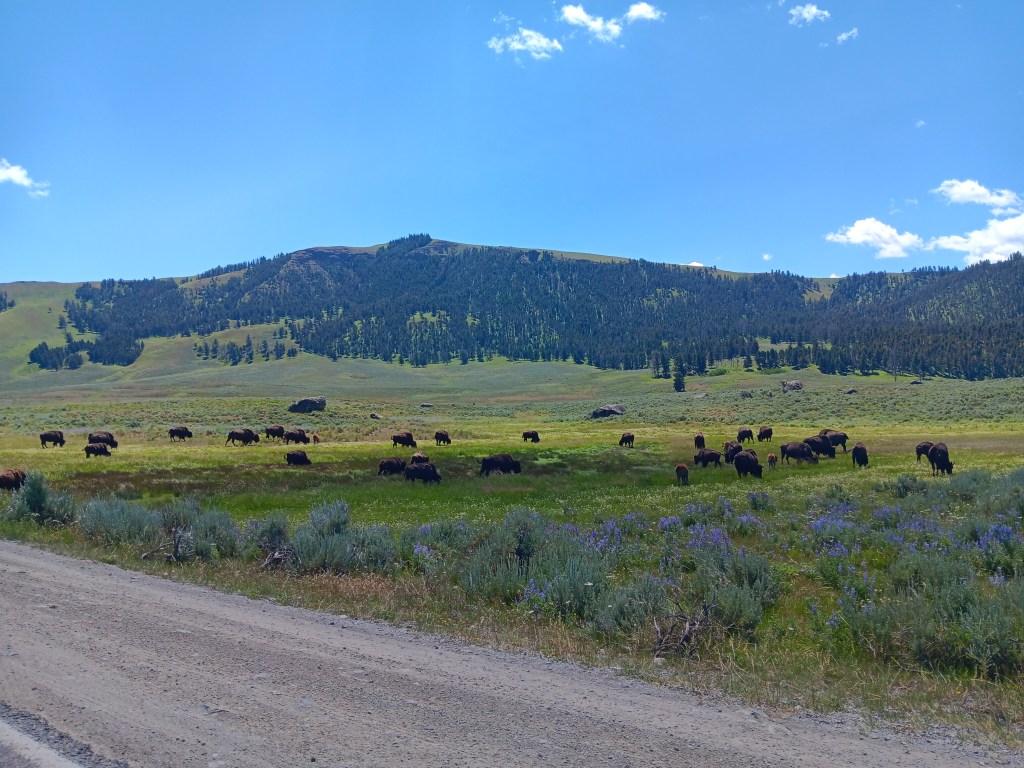
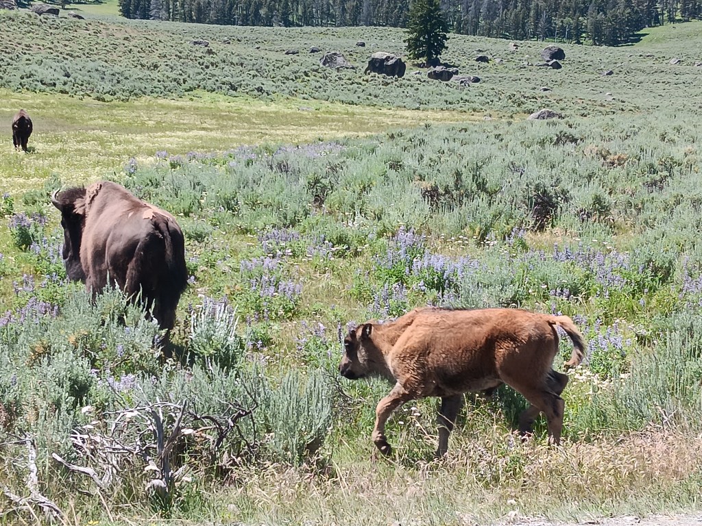
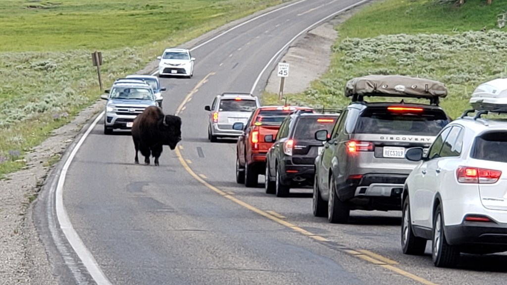
Last time we visited it was May, and the babies were all very new. This time, they had a little meat on their bones. Adorable!


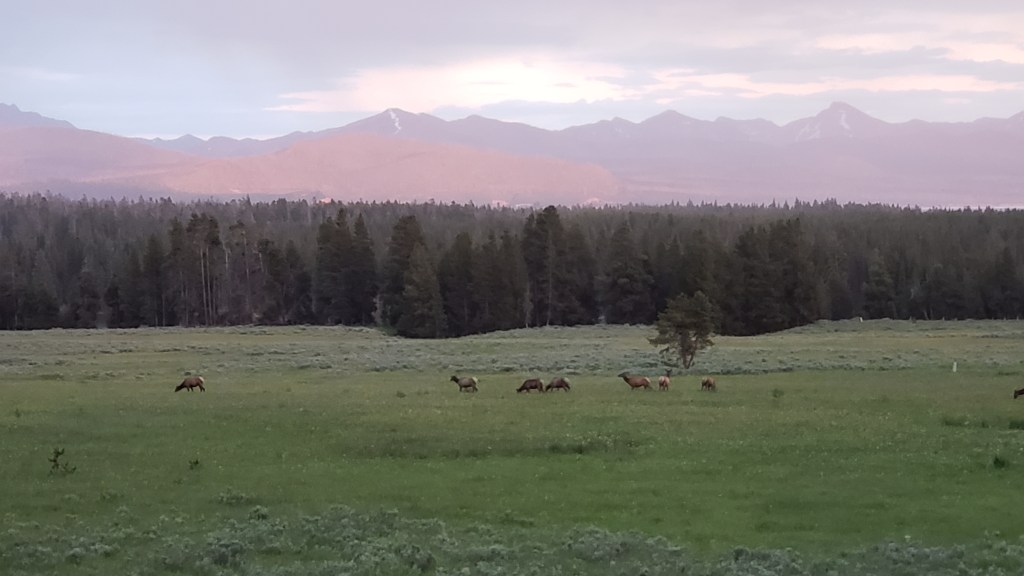
Even more thrilling, a herd of elk were munching the stubbly grass and relaxing in the valley. Some were close, but the majority were much further away, which gave us the chance to try using our cell phone camera with our spotting scope.

They look tiny, but for how far away they were, this is excellent viewing.

Simon has a deep love for the most precarious places he can find, while Susan has had a life-long terror of high places with big drop-offs, so naturally our next stop was Upper Falls, where the Yellowstone River tumbles 109 feet into the canyon below.
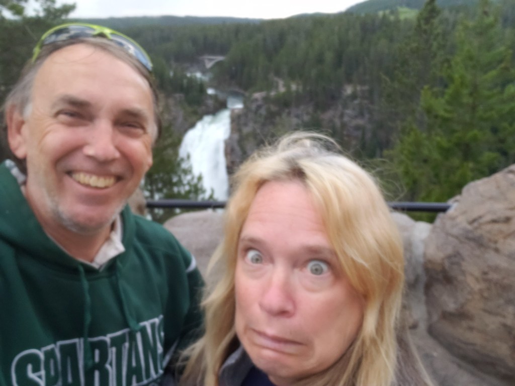
Who’s having fun?


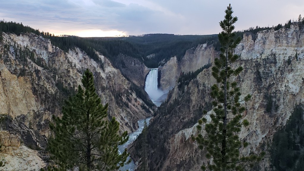
Upper Falls isn’t the highest waterfall in Yellowstone, but don’t worry. We’d stand at the crest of the 308-foot-high Lower Falls soon.

We ended the first day with more bison and a spectacular double rainbow framing a small band of elk, while the mountains behind them positively glowed with the setting sun.
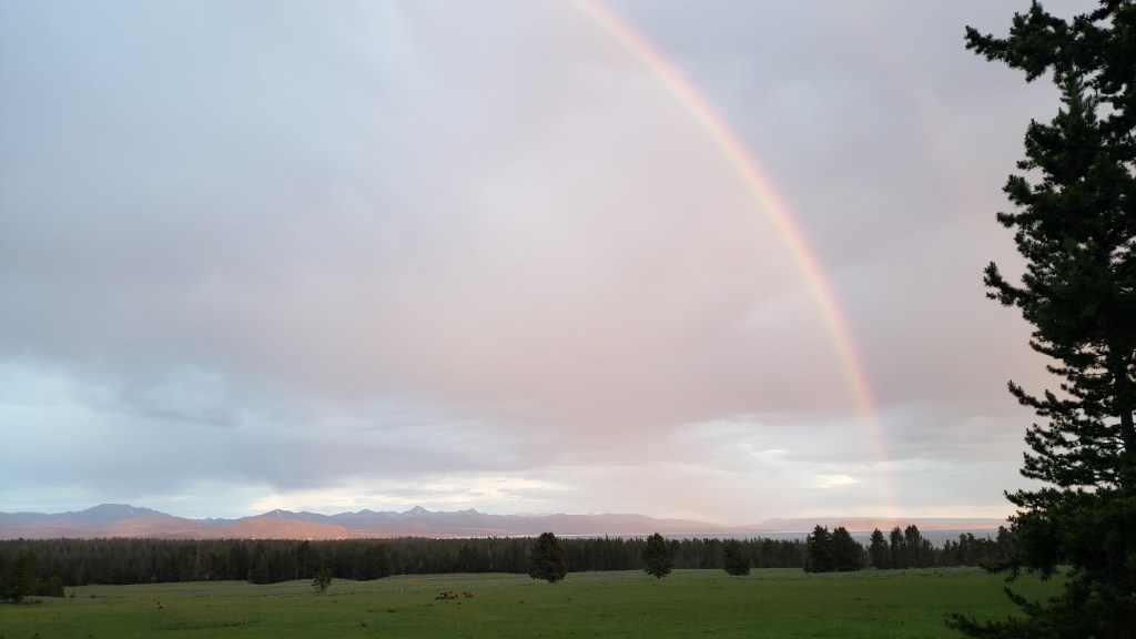
You can JUST make out the second rainbow to the right of the first one, just behind the pine tree

The mountains lit up, celebrating the rainbows

The next morning we set out early so as to spend as much time in Lamar Valley as we could. This, for us, is the absolute premier part of the park, even though it’s harder to get to than pretty much anywhere else. From Fishing Bridge, it was about an hour north, then east at Tower Junction.

What we hadn’t factored in –though we should have, since we’d been referring to our trusty Mountain Directory West, which points out all the routes we want to avoid – was the Dunraven Pass. For Simon, it was scenic (if a bit challenging) driving. For Susan, it was a deep dive into the most hellish emotional terror imaginable, and it did result in a great deal of ugly crying by the time we reached the valley again. Sharp turns with no guardrails, and a massive, massive drop right over the edge of the mountain were Susan’s view, and it did her in completely.
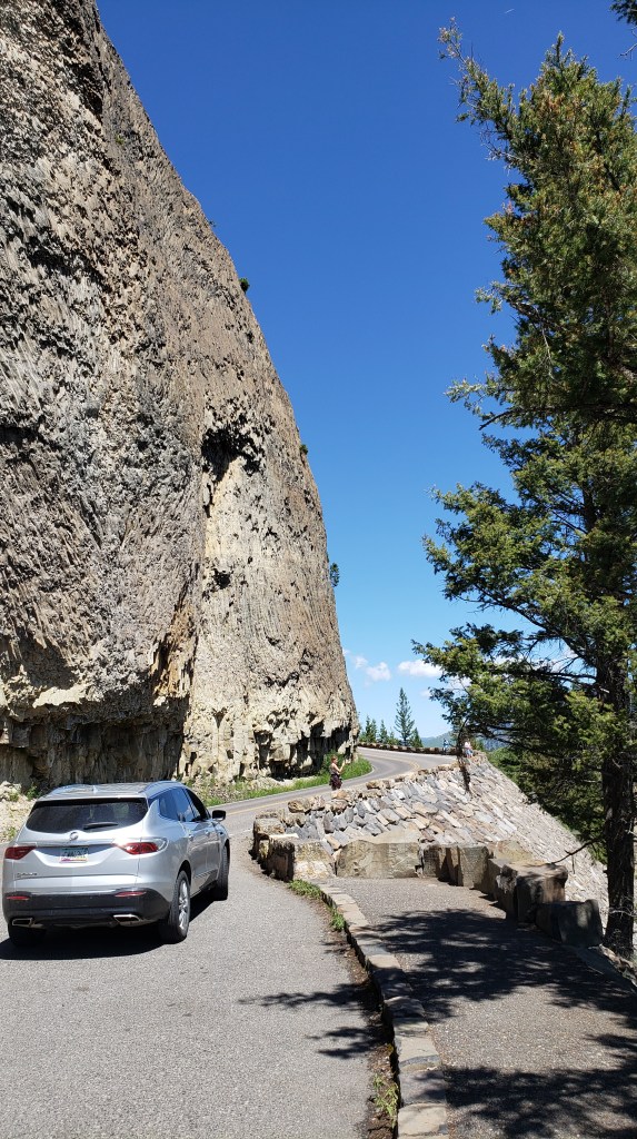
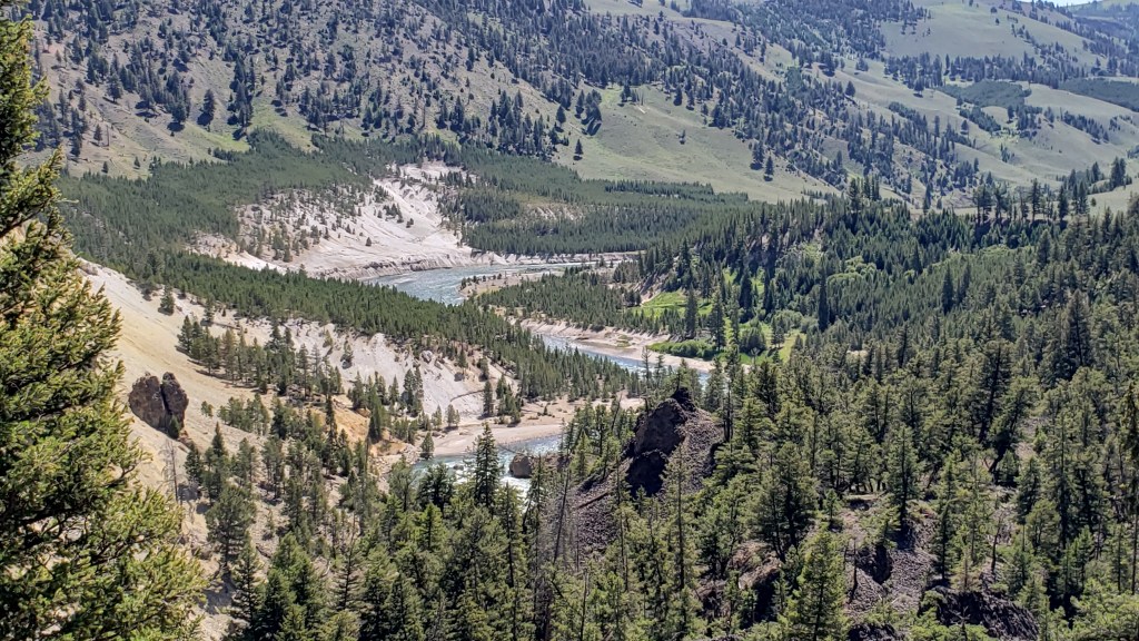
This is where Susan’s ability to cope tanked completely. Simon, of course, had to stop and get a photo of the view.

This looks like nothing, but it’s more than 2,000 feet straight down

Still, Lamar Valley lay on the other side of the pass, and after a lot of comforting words, we got back on track and vowed to return to camp via the better road that went through Mammoth, even though the trip was somewhat longer.

Here’s where we’ll leave Yellowstone to do most of the talking. The one photo we don’t have is of a wolf feasting on a bison carcass, which we were able to see through a park ranger’s scope. By the time we got our scope out, the wolf had its fill and had moved on.
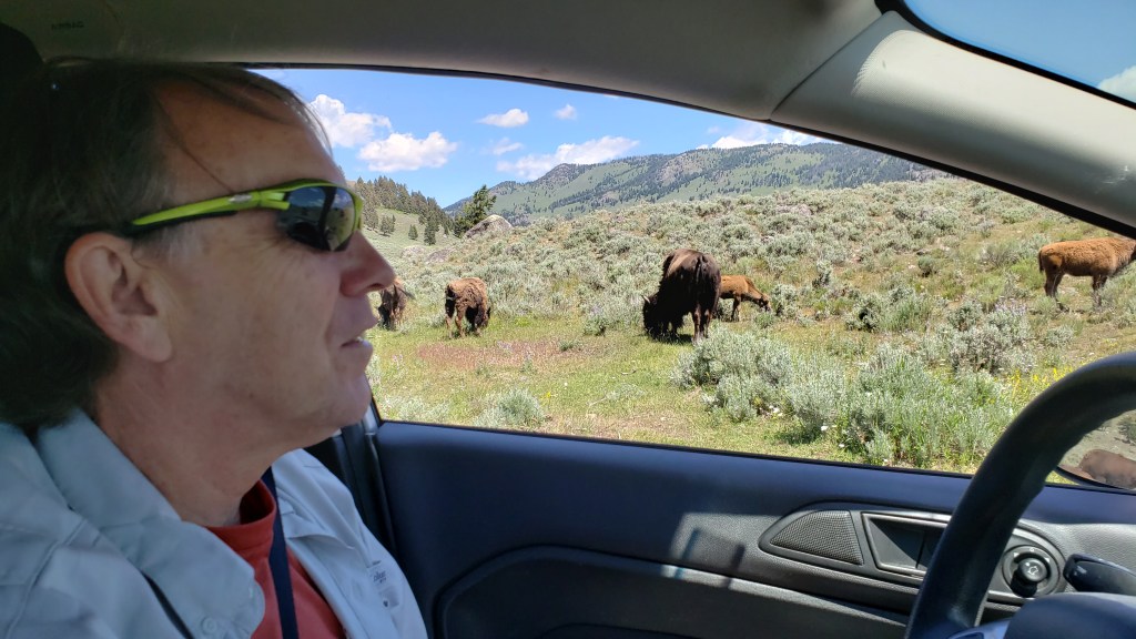
There were so many bison mamas and their babies in Lamar, they were even growing out of Simon’s nose!


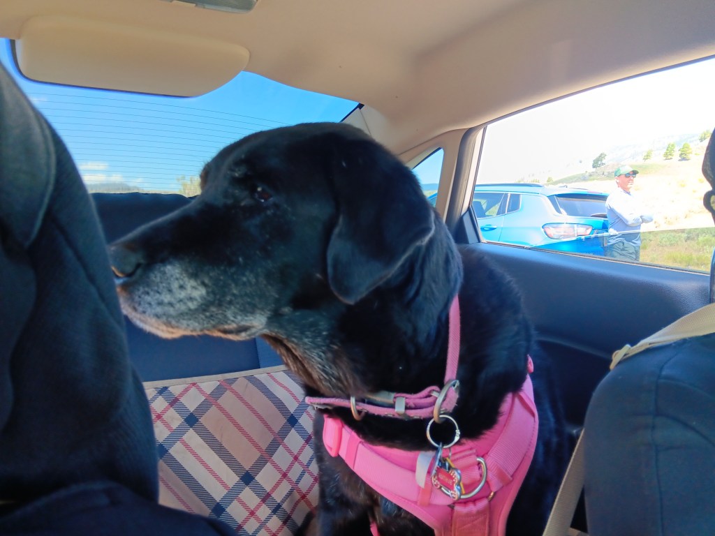
Someone had learned by now to watch in silence


We didn’t have bears on our Bingo card, since they tend to be in the upper hills this time of year (especially the grizzlies), but the day was so lovely and the scent of wildflowers was so sweet, this black bear couldn’t resist having lunch not far off the road. Obviously, smart people keep a distance from things that can eat them, so we didn’t get too close.
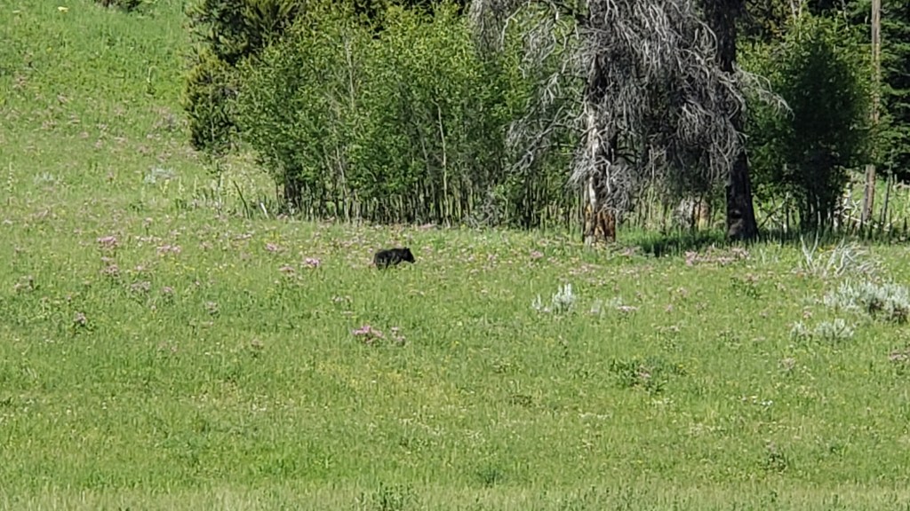
This isn’t “zoomed in”

Happily, this bear was so unexpected that there wasn’t a “bear jam.” We had him/her/them nearly to ourselves.

The park’s smallest waterfall, Crystal Falls, was difficult to photograph, but the bridge that led to it was nearly as impressive.
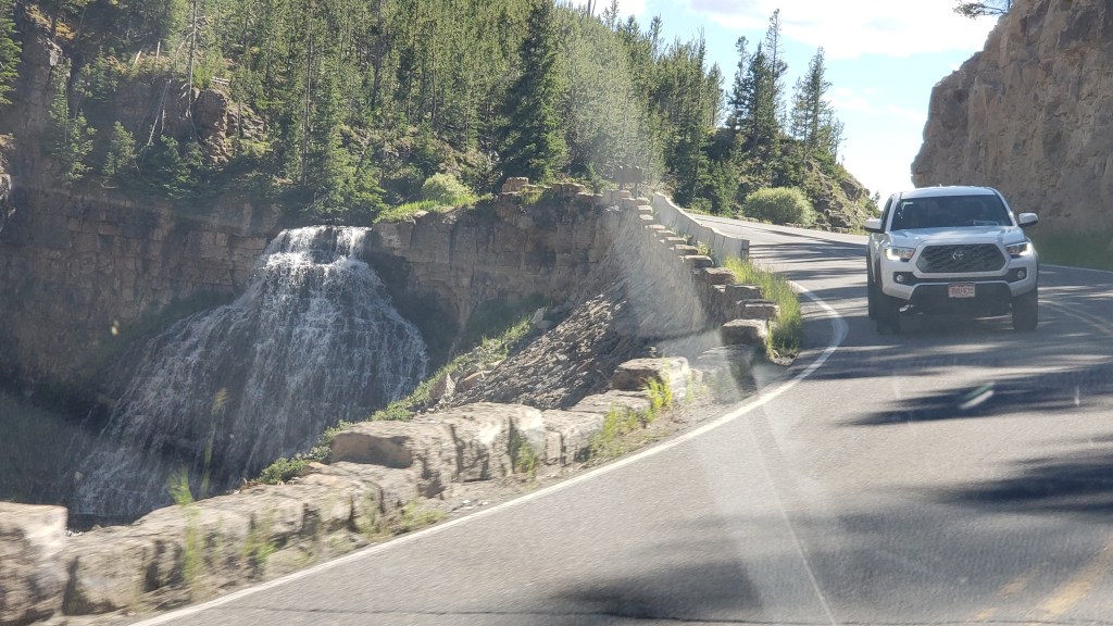
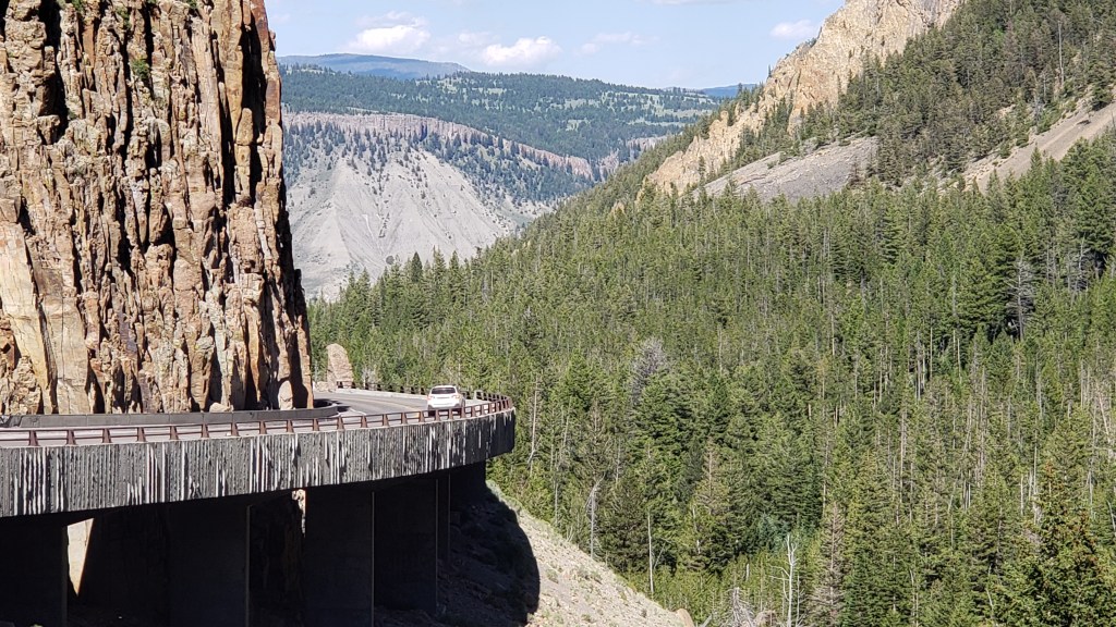

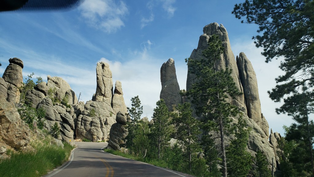
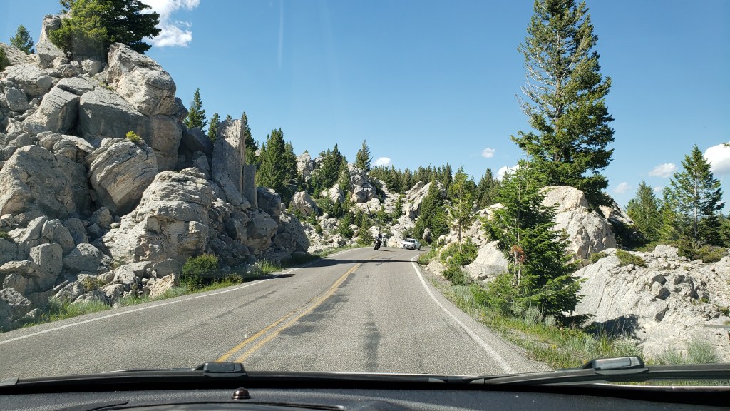
As we left Mammoth Hot Springs behind, we came across a little side road that looked really interesting. In a landscape of pine trees, it featured giant rocks that looked like they’d fallen into place from a great height. We quickly veered off, and discovered “little” was the correct term for that road, both in its width and in its length. Within 45 seconds we were back on the main loop road. Still, it was an interesting diversion that made us ask questions.

Well beyond Mammoth, which is where the travertine formations are found, we came upon another formation with loud, steaming vents, and Ruthie insisted on having her photo taken.
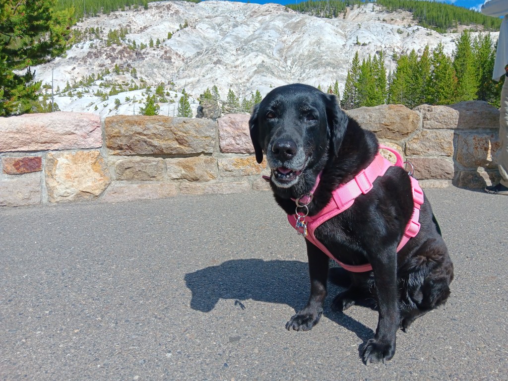

Lower Falls was next, and we could hear the water thundering down even before we reached it. A picture is worth a thousand words…


…but a video is worth a million.

You can literally stair-step your way down to the edge of the falls. Guess which one of us did that!

Yellowstone is in the business of delighting its visitors, and as we came out of the Lower Falls area heading to the main loop we had this beautiful creature all to ourselves.
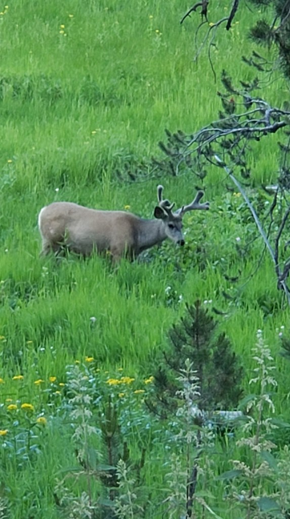

Hayden Valley was our goal for the evening, since it was close to the campground and the hour or two before the sun sets are excellent times for viewing the animals who bed down in the area for the night, and the predators who hunt them.
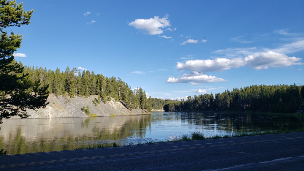
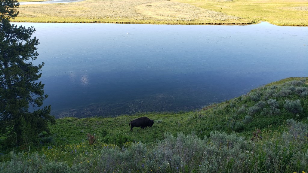
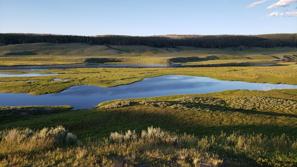

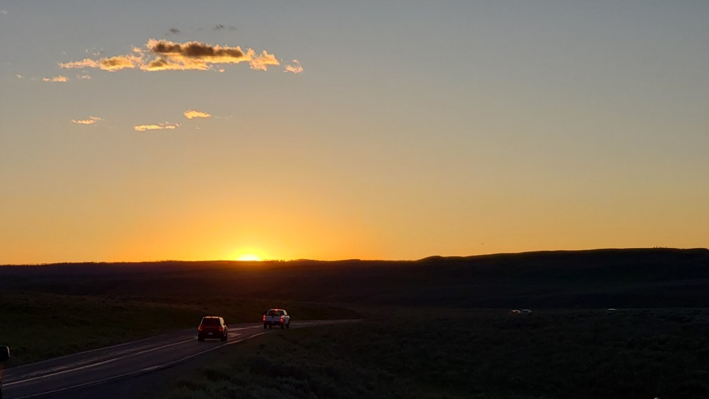
We watched the sun set from a turnout in the valley where people gather every evening to do the same thing, while also spotting wildlife. This is bonding time with fellow adventurers, and we spent a happy hour or so chatting about travel, and about the animals each of us had seen so far. With happiness for their good fortune, plus a growing twinge of jealousy, we made appreciative noises as several people told us they’d seen a grizzly bear with two cubs that morning, a rare, rare treat indeed during the heat of summer.

Our day ended on a high note, and we were content with that, but we had one more full day to enjoy the park, and one more surprise in store.
Making Choices In Montana

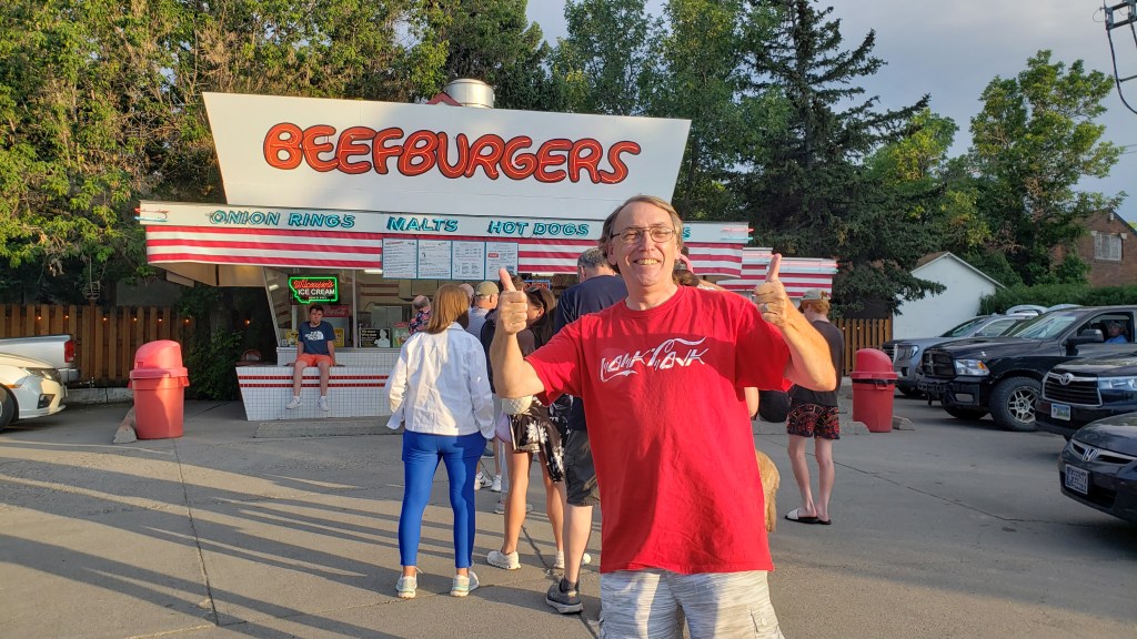
This was the easiest decision we had to make. And yes, that’s a long line ahead of Simon. A locals’ favorite!

Sometimes you have to make hard choices. While there are times when you have to take a leap of faith, our decisions over the next few days would be based on both local knowledge and hard-earned first-hand reconnaissance.

Billings, Montana was supposed to be our next stop, but since we were running a day late we pushed on to Columbus, which we planned to use as a base from which to see the Pryor Mountain wild horses, Devil’s Canyon Overlook, Cody, Beartooth Pass, and Chief Joseph Scenic Byway.

We ruled out Pryor Mountain, a 204 mile round-trip in Nippy that sounded long but oh-so-scenic from the comfort of our house when we were making plans, but sounded truly awful when reality hit, then ruled out Beartooth Pass when it became obvious the sharp drop-offs, cliffside driving without barriers, and the sheer terror of it all were going to do Susan’s head in. Instead, we opted for the still-very-high-up Chief Joseph Scenic Byway, which gave us plenty of spectacular views without the threat of death.

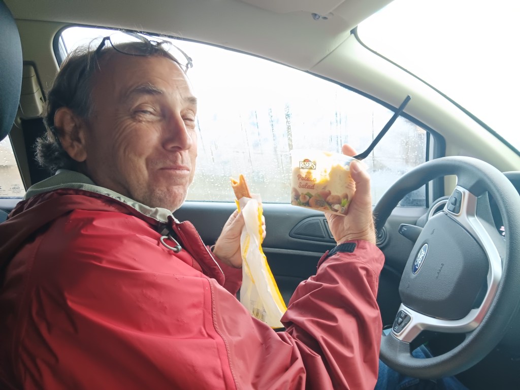
A quick stop in Absarokee’s little downtown market for a bite of take-away lunch (two pizza sticks for Simon, one chicken strip for Susan, and a pot of potato salad to split) gave us the fuel needed to start ascending the mountain to Red Lodge, Montana, which bills itself as “The Gateway to Yellowstone Park.”

Feasting in the car . Rainstorms make everything taste better!

And it is a gateway…if you’re willing to brave the Beartooth Highway, a 69-mile twisting, turning, sharp-drop-off road that tops out at 10,947 feet (that’s 3,337 meters for our UK friends).

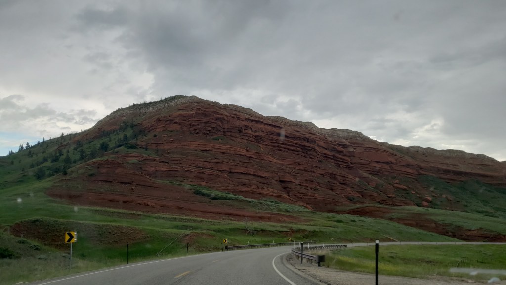
The trip to Red Lodge offered yet more rolling landscape dotted with green hills that led to sharp, craggy rock, and while the weather over the Beartooth mountains threatened a bit of rain, we only had a few spotty showers.


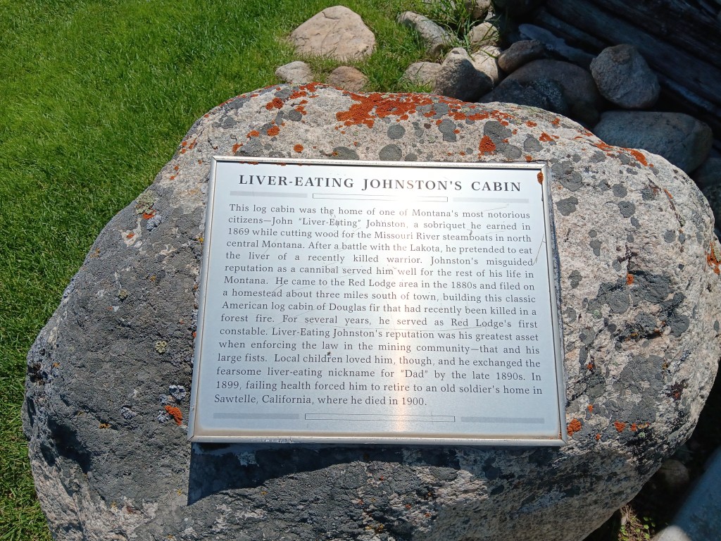
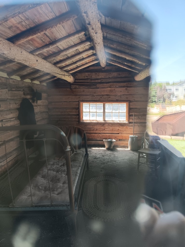
We stopped at the Visitor Center, which included a one-room cabin once owned by Liver Eating Johnston. There were people then and are people now who can live and thrive in a dirt-floor cabin, but we aren’t among them.


Photo taken through a glass door. Ignore the reflection on the right.

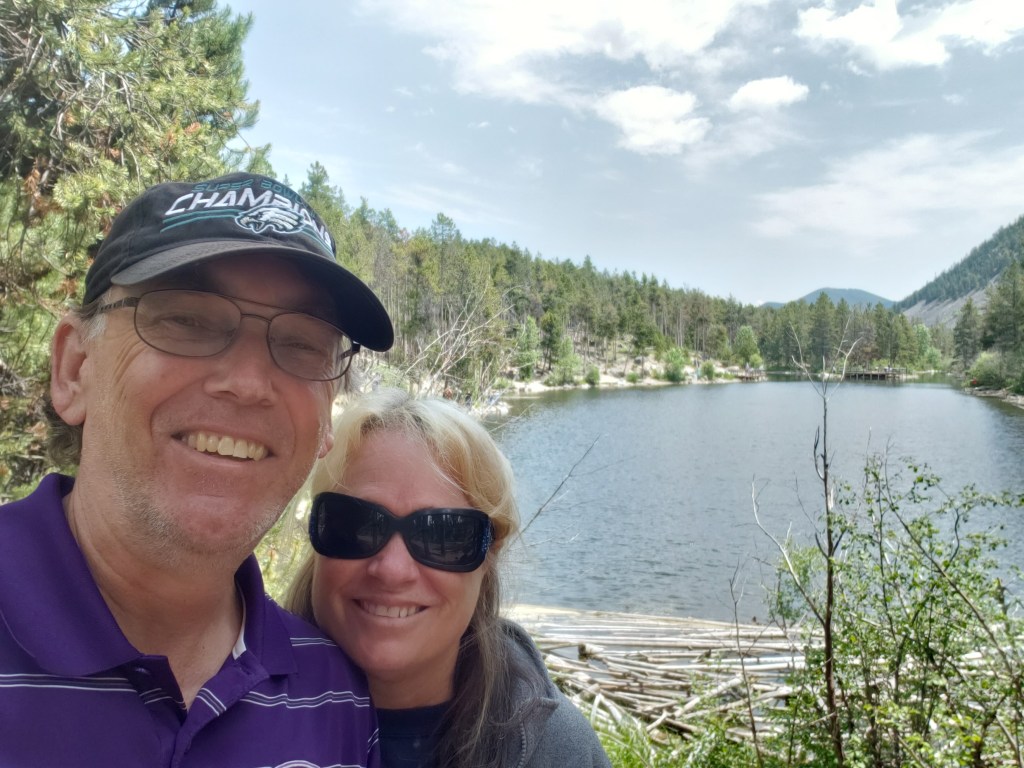
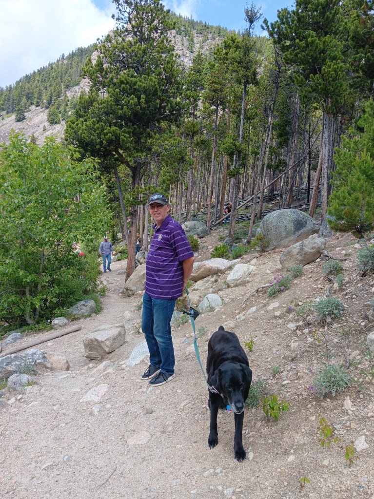
The Visitor Center host suggested we take a drive to Wild Bill Lake for a one-mile hike, then head up the Chief Joseph Scenic Byway, an alternative to the Beartooth Highway. The hike was a terrific suggestion, and we thoroughly enjoyed our walk, as did Ruthie, who got lots of love and attention from kids fishing along the lake.


Now, we’d been assured the Chief Joesph was tame, but over the course of the next week or so we’d learn that “tame” in Montana and Wyoming is not the same as “tame” in Michigan, Florida, or the UK. We would also learn that “rolling hills” mean something entirely different, too (steep grades both up and down, in quick succession).


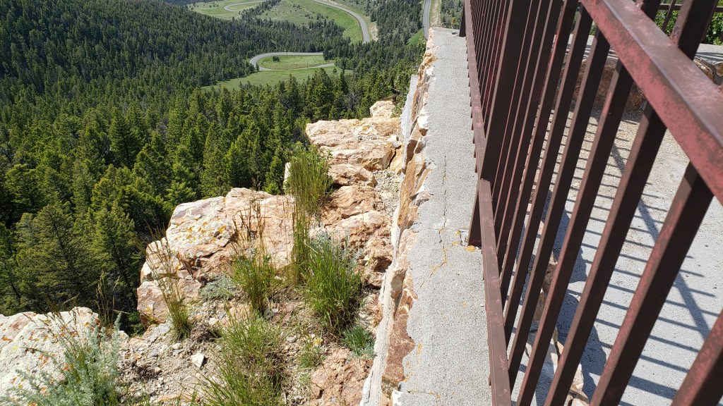
None of that mattered as we wound up the mountainside, stopping at markers for the likes of Bear Creek Hill and Dead Indian Pass (elevation 8,000 feet). Naturally, Simon had to find the most precarious place on the whole mountain to lean out and peek over the edge, while Susan very sensibly waited in the car.

See that little strip of pavement way, way down, in the middle of the photo? That’s the road.

A marker at the summit tells the story of 600 members of the Nez Perce tribe, led by Lean Elk and Chief Joseph, who used the pass to escape the U.S. Army in 1877. At this point in their retreat, they were forced to leave an injured warrior, who was subsequently killed by U.S. scouts.


The byway eventually hooks up with the Beartooth Highway, so we retraced our route for the return trip and veered off at WY-120 heading to Cody, just 18 miles away.

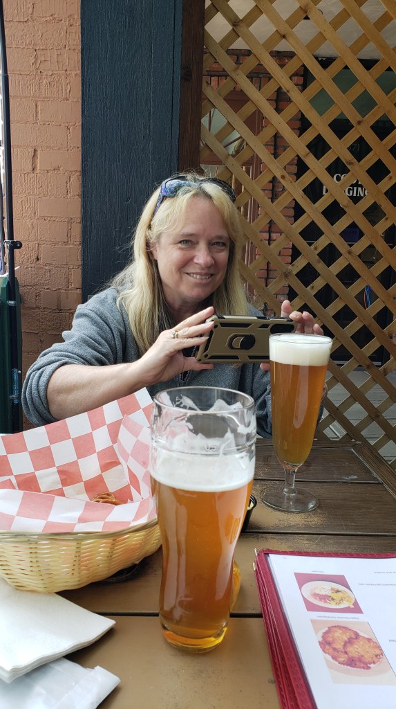
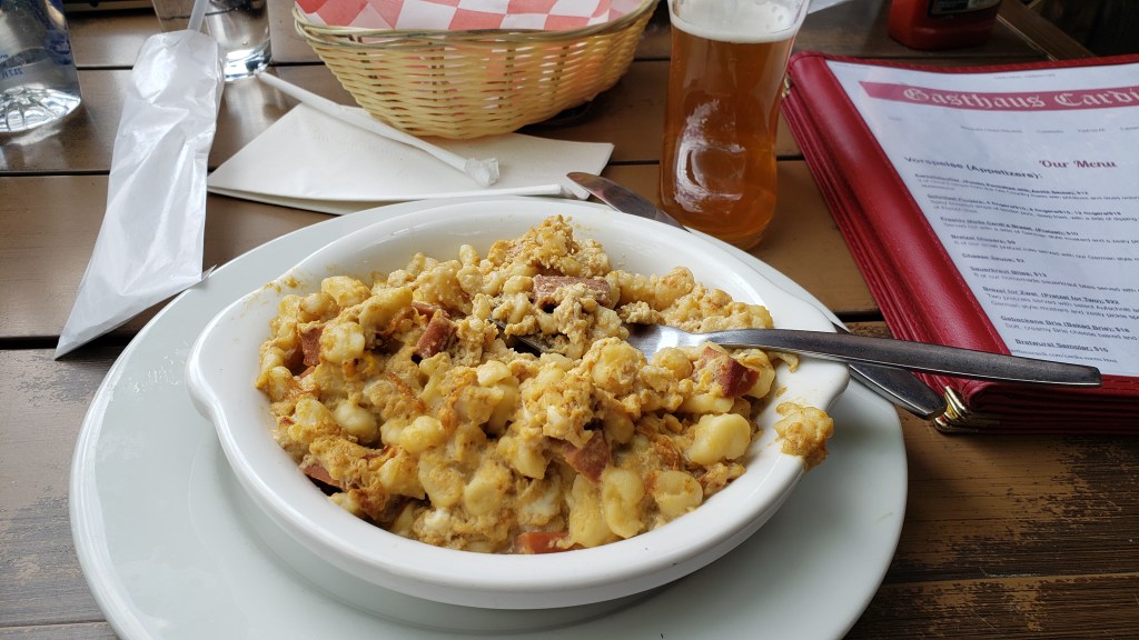
Cody was busy, as we’d expected, and, inexplicably, with thoughts of a big, juicy Wyoming steak on our minds, we ended up at a German restaurant eating a kid’s portion of schnitzel and some sort of noodle dish with eggs and cheese. They were out of nearly all of their interesting beers, so we ended up with brews neither of us can remember. Life is funny sometimes.


What is this noodle, egg, and cheese food? We don’t know.

Can you really go wrong with half a schnitzel?

Fati took us to Livingston the next day, which served the dual purpose of getting us closer to Yellowstone National Park while also giving us the opportunity to decide on our best route to the West Yellowstone entrance through real-life experience. We could take Highway 191 from Bozeman, or, as had been suggested by the campground host, take the longer route down the 287 through Ennis. Our trusty Mountain Directory West showed 191 as the better route, but was local knowledge the real story?

The next morning we took advantage of the opportunity to do some sightseeing south of the city, heading to Chico Hot Springs. It was probably just an excuse to get so close to the Gardiner entry into Yellowstone that we couldn’t pass it up and would have to pop in for a look.

Cute little bar in Chico Hot Springs, but, of course, NO DOGS ALLOWED.

We’d been to Yellowstone before, and remembered the road from Gardiner into the park as being steep but nothing to bat an eye at in a car. In fact, it had been the only place we’d seen mountain goats the last time we were there, and we hoped to repeat that experience. What we hadn’t realized was, the road has been rebuilt in a new location since the flooding last year that washed out several roads in Yellowstone. Now it has such steep grades and such tight turns, even some of the park rangers would later tell us they preferred not to use it. We have no photos of this part of the journey, since Simon was gripping the steering wheel and Susan was white-knuckling Nippy’s armrests.

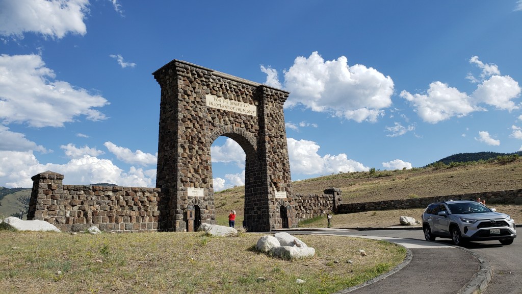
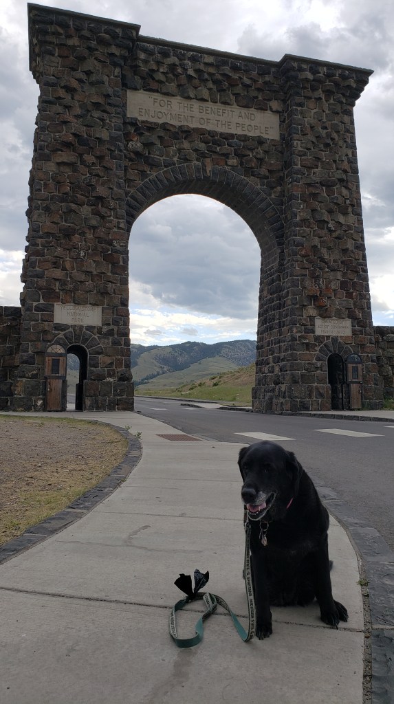
We were blissfully unaware of what lay ahead as we played around taking photos in front of the famous Arch, and when we did make the arduous climb up to Mammoth Hot Springs – punctuated by a few straggler elk – we were hugely relieved to reach the top, and not at all eager to make the trip back down.


It may have been a bit windy.

Why? Why do you people do this to me?

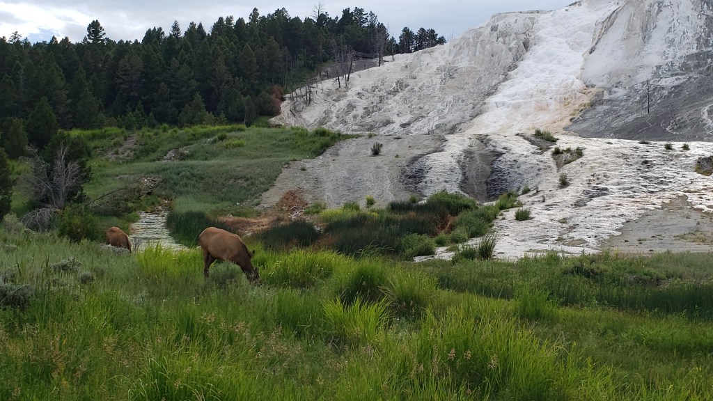
Still, there was no other choice, so down we went when we’d finished our nice little drive to view Mammoth’s glimmering travertine formations.

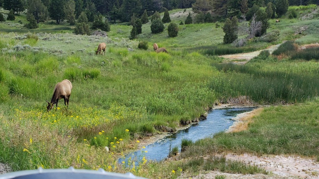
This isn’t travertine. This is elk.

This is elk and travertine.

This is us and travertine but no elk.

The next day, the 191 wound us through a valley in Gallatin National Forest and along the Gallatin River in Nippy, giving us the lay of the land. Simon was just slightly apprehensive about the drive when we’d have to make it with Fati, because of its sharp curves and very few passing lanes long enough for us to pull over and let other vehicles go by. Big benefit? No major grades. And what a road it turned out to be!

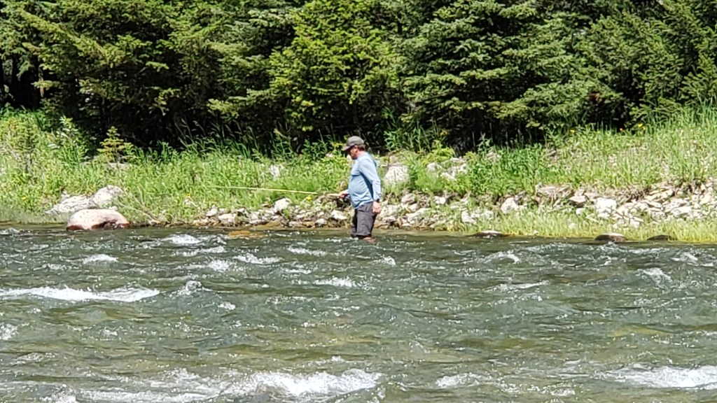
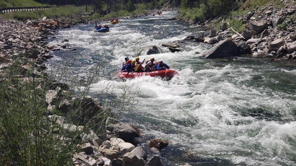
Every curve offered a view more superb than the next, and often we had river rafting tours and people out fly fishing alongside us.


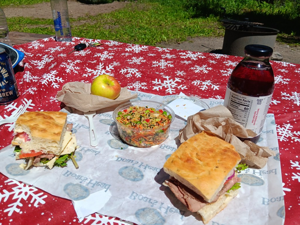
We stopped for a peaceful picnic lunch along the riverside, where four fishermen were grilling whatever it was they’d caught. The scent of pine trees made it an idyllic setting, and we spent a fair bit of time enjoying the serenity.

Our picnic lunch didn’t include fresh-caught fish, but it did include a hiking boot used to hold down one side of our Christmas tablecloth.

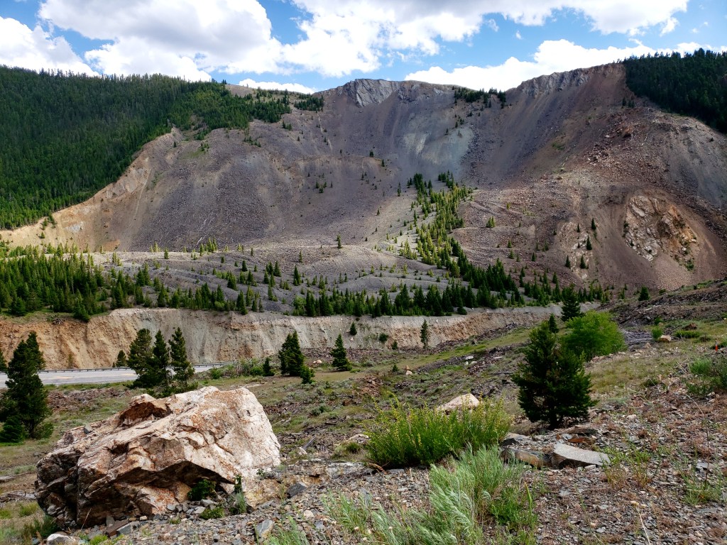
We then returned to Livingston via Highway 287, and were hugely surprised to see one of the mountainsides along the road had come down due to a 7.5 magnitude earthquake, leaving a massive scar and an even bigger pile of rubble.


Lucky for us, this all happened in 1959, and whoever takes care of these sorts of catastrophes had created a charming visitor center for Earthquake Lake on top of the rubble, and on top of 14 people whose bodies were never recovered.

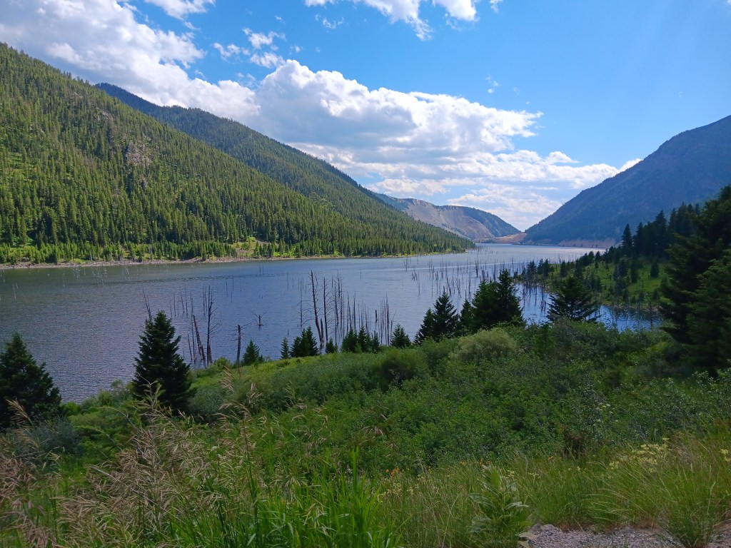
Dead trees still stand in the lake, and the hosts at the visitor center told us the concussion from the landslide was heard all the way into Yellowstone.


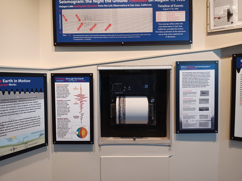
The visitor center monitors tremors, and we were told the seismograph is so sensitive it often records the footfalls of elk walking in the vicinity. The employees feel tremors several times a day, but they seemed happy with their jobs and their location, so nothing major appears to be on the horizon.


It was reassuring to hear, since we’d soon be spending a few days exploring Yellowstone.

In the end, we were glad we drove both highways to help our decision-making, and it turned out local knowledge didn’t stand up to the test. Highway 287 was gorgeous, but had so many long, steep grades that poor Simon was tuckered out by the time we returned to Fati that night.


Our decision had been made. Next stop, Fishing Bridge Campground in Yellowstone!

A Year on the Road – The First Two Months

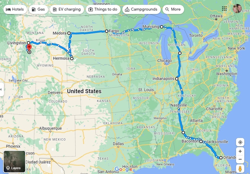
Our second month is in the books, and we are now 3,743 miles into the grand year’s adventure. The arrival of July 14 sees us having reached the magnificent Yellowstone National Park in the Northwest corner of Wyoming (albeit, a small part of it is in Southwest Montana). The driving has been astounding, the views panoramic, and the wildlife absolutely everywhere.

From Orlando to Yellowstone – a 3,743-mile adventure (s0 far!)

In truth, we HAVE slowed down in the second month. The first month chalked up a whopping 2,504 miles, meaning we’ve traveled just 1,239 miles in the second stanza of four weeks. In truth, we’ve gone much further than that with our localized sight-seeing in Nippy once we reach a new destination, but the official distance is measured by Fati’s odometer, and she says 3,743!

In the meantime, we’re considering our next move. In theory it is Glacier National Park in Northwest Montana, and then through Idaho to Washington and Oregon. But we have discovered something wonderfully captivating about Montana and Wyoming, hence we may well explore further here…

Things We Learned In Our Second Month On The Road: The Reality Version


Things you learn and things you experience can be different, even when they’re wrapped up in each other, so while our blogs are usually about the things we’ve experienced, this one is the second in our monthly installments about the lessons we’ve learned. Here are our our second-month reflections:

You need community. You need people who will invite you to sit around their campfire and talk about your triumphs and your challenges. You need people who will talk you off the ledge and help you inch your way forward again when things are tough.

Those comments you blithely tossed about before you left home, along the lines of, “We’ll probably get to the point where we want to quit, and that’s normal, so we need to push through it” will stare you straight in the face at some point, and it won’t be cute or funny. It’ll be harrowing, upsetting, heartbreaking, and grounds for ugly crying. Whatever decision you make as you work your way through it is the right decision, even if only for right now.

Carry nut snack bars in your car at all times, because when you’re out experiencing something incredible in the middle of nowhere, normal lunch and dinner times won’t be a thing. And if an ice cream shop is all you can find in some backwater town, it counts as a meal.

It’s okay to take a look at your itinerary and re-evaluate. Maybe you don’t have to see everything, even if it’s all really appealing. It’s exhausting to move every few days, or even every week, and a re-think of your bases from which to travel by car can ease that pressure and stress.

You started this whole process with a desire to see the country. If you can, put some distance between yourself and your rig when you’re having a rough day, and go out and find a scenic drive by car. When you come across that gorgeous valley, or surprising wildlife, or that amazing hike to a waterfall or overlook, it will be the reminder you need about why you’re doing this.

Emergency Rooms in Montana aren’t as busy as they are in big cities, but even though they’ll get you in within 2 minutes and they’ve seen that racing heart rate and high blood pressure a million times in fried, overwhelmed people just like you, it’s better to slow the hell down before you have to meet Montana’s front-line workers.

It’s okay to sniff your clothes to see if you can wear them for another day. Even underwear, in a pinch. Once your socks smell like Fritos, do everyone a favor and wear fresh ones.

By now, basic logistics are becoming a little bit easier as habits are forming. You know how to break down and set up camp quickly, and you’ve started to find your groove when it comes to touring and staying home. When the UV water filter works or doesn’t work, however, will remain a mystery.

You’ll spend a lot of time greeting your neighbors by saying, “Your rig is beautiful,” and you’ll mean it every time. It’s the pathway to spending a happy half hour or more hearing their stories and sharing yours. If their rig isn’t beautiful, compliment their dog. Same happy result.

You’ll bring all your emotional baggage with you when you make this journey. Whatever pushes your buttons at home – both good and not so good – is going to push your buttons on the road. Part of the learning process is figuring out how to push the good buttons as often as possible.

If your emotional baggage includes a deep, deep fear of heights, don’t take the Dunraven Pass in Yellowstone National Park. Those tight curves around the mountain, with no guardrails and a hideous drop-off, will only result in lots and lots of that ugly crying we mentioned earlier. Take the long route and save your sanity.

When you see a bear grazing in a sun-dappled field filled with the sweet, sweet scent of clover, and there are only a few other people there to witness it with you, all will be right with the world.

Buy the T-shirt.

What State Are We In? Dipping in and out of Wyoming and Montana


There comes a point during long travel experiences when you don’t know what day it is, and in our case, we would soon add not knowing what state we were in as we dipped in and out of southern Montana and northern Wyoming.

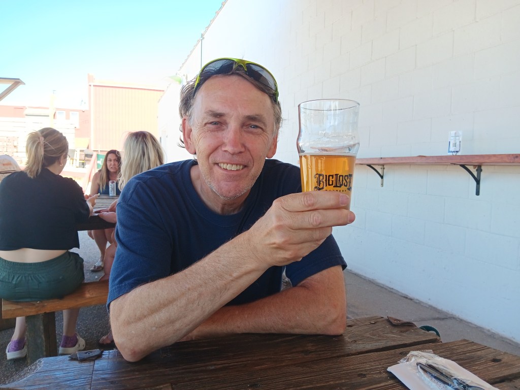
After a false start on our way to Harvest Host location Big Lost Meadery in Gillette, Wyoming, when our kitchen slideout wouldn’t lock or go out (totally user error, though it did turn out our hydraulic fluid was seriously low, and we learned a lot about slides and jacks from the mobile RV tech), which necessitated another night’s stay in Sturgis, we were on our way again, and made the Meadery our lunch stop to thank them for being so kind about our late cancellation.


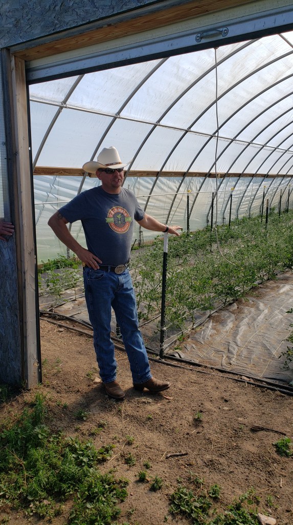
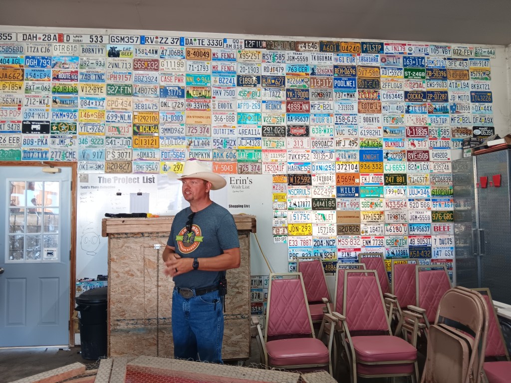
We had a second Harvest Host stay booked at Our Wyoming Life, and it was only after we arrived and started talking to the other Harvest Host members staying there that we discovered the farm is YouTube famous.

People from all over the country — and beyond — send license plates for the license plate wall

The host’s several parking spots for RVs were full, which was a huge bonus when everyone gathered near the small barn near the parking area and we all shared stories of our travels. Just what we want from our Harvest Host stays!

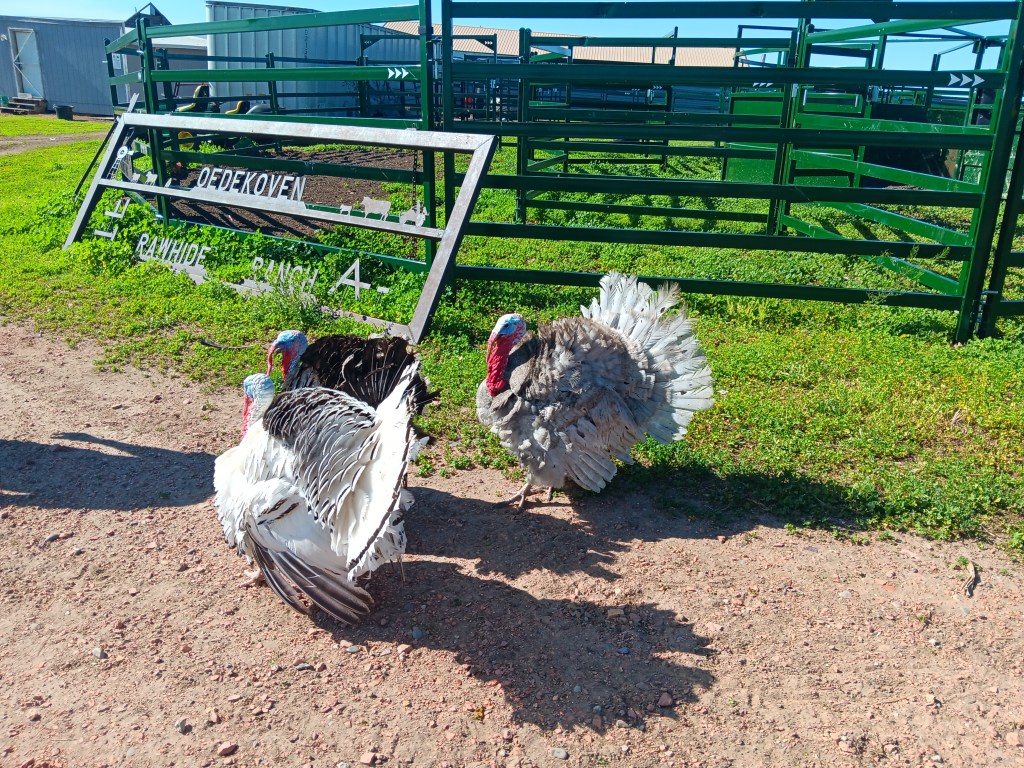
Along with selling meat and other foods, host Mike does a farm tour each morning. All of the guests attended, and it was another fun bonding experience, made all the more hilarious by relentless turkeys who gobbled warnings at us, in unison.


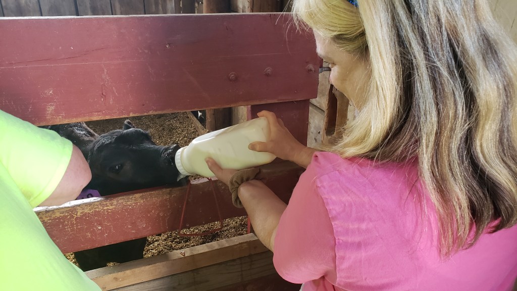
We met and fed calves…


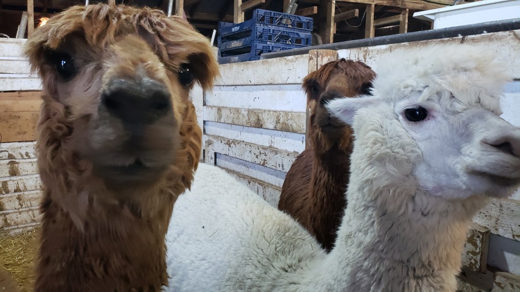
…met and fed alpacas (not you, worried alpaca in the back)…

Anyone who could get that brown alpaca in the back to eat from their hand would win a T-shirt. Even Simon lost out.

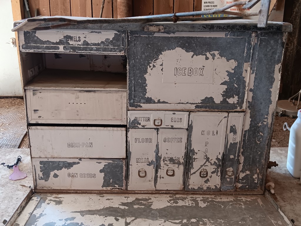
…saw what Mike called the first RV accessory, a fabulous old “portable kitchen” that would have been used to make meals during long car trips back when Hector was a pup…


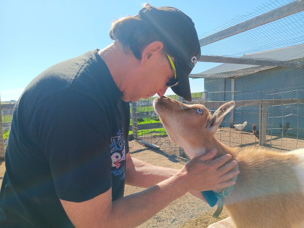
…and, of course, the animals’ love affair with Simon continued. He’s the animal whisperer.


Our stay was a real boon, especially when Mike described the ranch’s community philosophy. We were thrilled to hear how much he and his family do for those in need, and how dedicated they are to educating people about where their food comes from and how it gets to them. Great stuff!


We moved on toward Garryowen, Montana after the farm tour, had a little snafu that saw us returning to Gillette for two days, and on our arrival back in town we made a snap decision to backtrack in Nippy to see Devils Tower once we’d settled in at a last-minute campground. It turned out to be a great decision, not only for the tower itself, but also for the mental boost it gave us, and the chance for some ice cream.

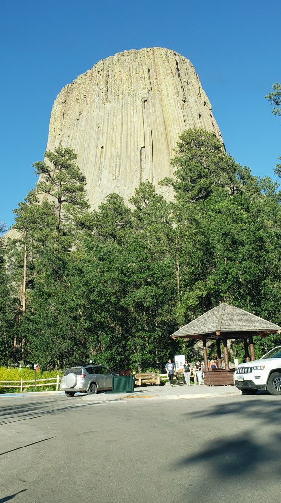
Devils Tower was probably famous before it co-starred in Close Encounters of the Third Kind, but neither of us knew anything about it before the movie came out. It is sacred to the Plains Native Americans, whose origin stories for the tower tend to revolve around an enormous bear who left scratch marks in the high rock in his attempts to get at those seeking shelter on the rock’s flat top. Rather than calling it Devils Tower, they use the names “Bear Lodge” or “Bear’s Tipi.”

From a distance, the tower looks a bit wimpy.


Up close, it’s not wimpy at all.


The yellow-green color that seems to run down the rock is caused by crustos lichen, and as the sun hits it late in the day it practically glows.


After some diagnostic work and an oil change for Fati the next day, we were once again on our way to Garryowen, and this time we made it to 7th Ranch RV Camp just down the highway from Little Bighorn Battlefield National Monument.

Just before reaching the campground, we learned a valuable lesson in how to cope with the unexpected after we turned right instead of left when we got off the highway, and ended up at a dead end next to a pig farm in a rig that can’t be backed up while towing a car. How lucky we are to have such interesting experiences!

Guess what the first thing is we have to do before getting out of this mess?

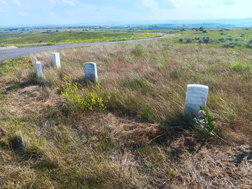
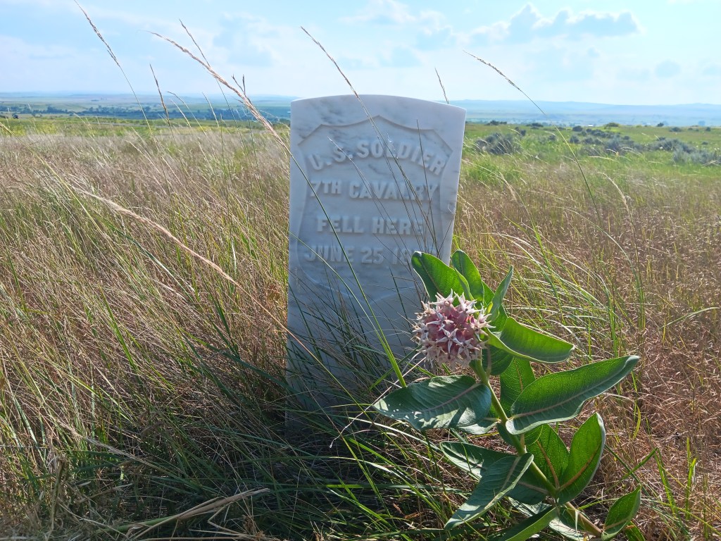
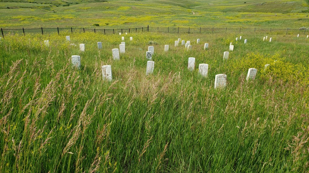
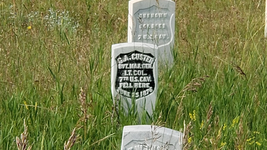
Simon had hoped to take a guided battlefield tour, but Fati had thrown a wrench in those plans, and we had one less day in the area than we’d expected. Instead, we drove the battlefield on our own and stopped at each area that had a description plaque detailing the terrible June 25 and 26, 1876 conflict that left 263 of Lieutenant Colonel George Custer’s soldiers dead, along with that ill-fated man himself.


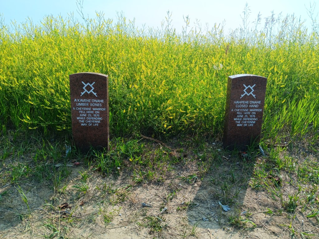
Several thousand Lakota, Chayenne, and Arapaho fiercely defended their homeland and way of life, and estimates state fewer than 40 were killed. While the hillsides are strewn with white markers for the U.S. soldiers, there are only a small handful of red granite markers showing where the land’s rightful residents fell.


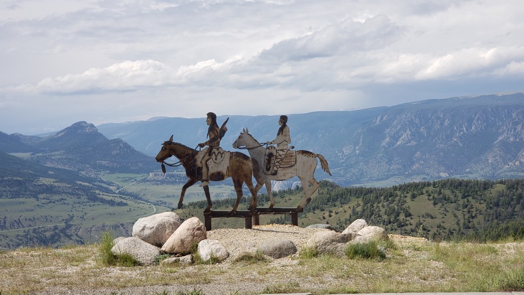
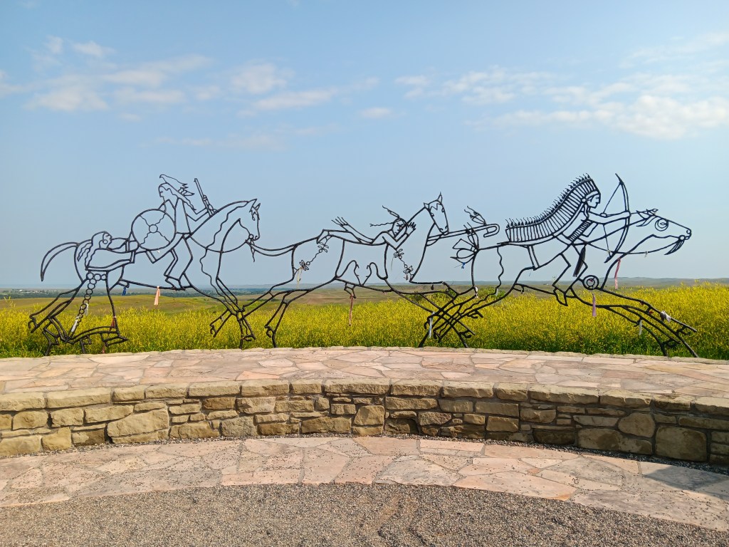
A beautiful memorial circle with entries from each of the four directions tells the Native American side of the story, through several panels with original quotes and this wonderful metal sculpture depicting the now-lost way of life.

If not for the headstones all across the landscape, this would be a place of great beauty, and during our visit it was alive with birdsong. We left feeling remarkably sober for the senselessness of it, and the terrible waste of human life. It’s hard not to wonder what could have happened had we truly come in peace.

Reaching Back in Time: Mammoths and the Wild, Wild West

South Dakota is considered the Midwest, along with states like Michigan, Ohio, and Minnesota, but its relationship to those states ends at the invisible division. It’s not really the West, either, though larger-than-life historical characters spent an awful lot of time there. We were eager to get to know some of them, and to see their stomping grounds.

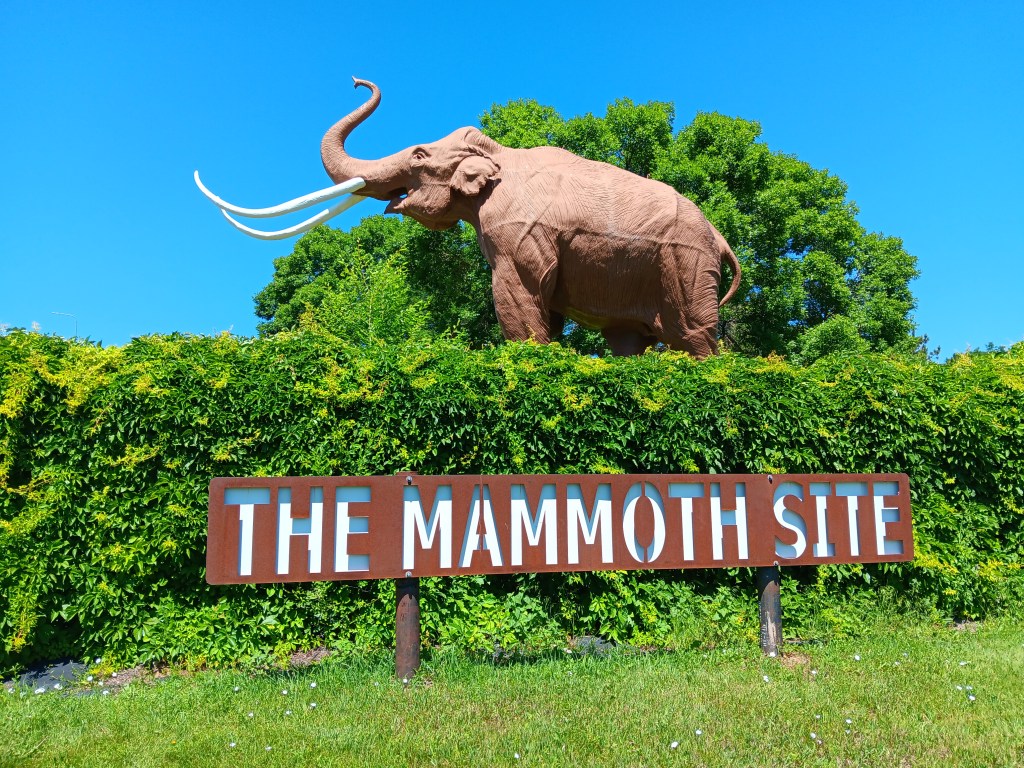
But first, we were off to discover the remains of the state’s long-gone wooly mammoths at the indoor museum and archeological dig, The Mammoth Site, home to the world’s largest collection of mammoth bones.

Originally, we weren’t going to bother, since Ruthie couldn’t go inside and the wild west was calling. But the day was plenty cool enough for her to spend a quick half-hour in the car with the windows rolled down, and the museum’s sign was very appealing.


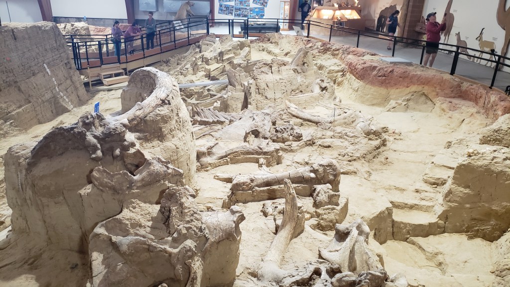
We’d heard the curators had all been very excited about a recent find among the bones already uncovered at the indoor dig site, and who doesn’t want to see something that’s just been unearthed after spending time underground since the last Ice Age?


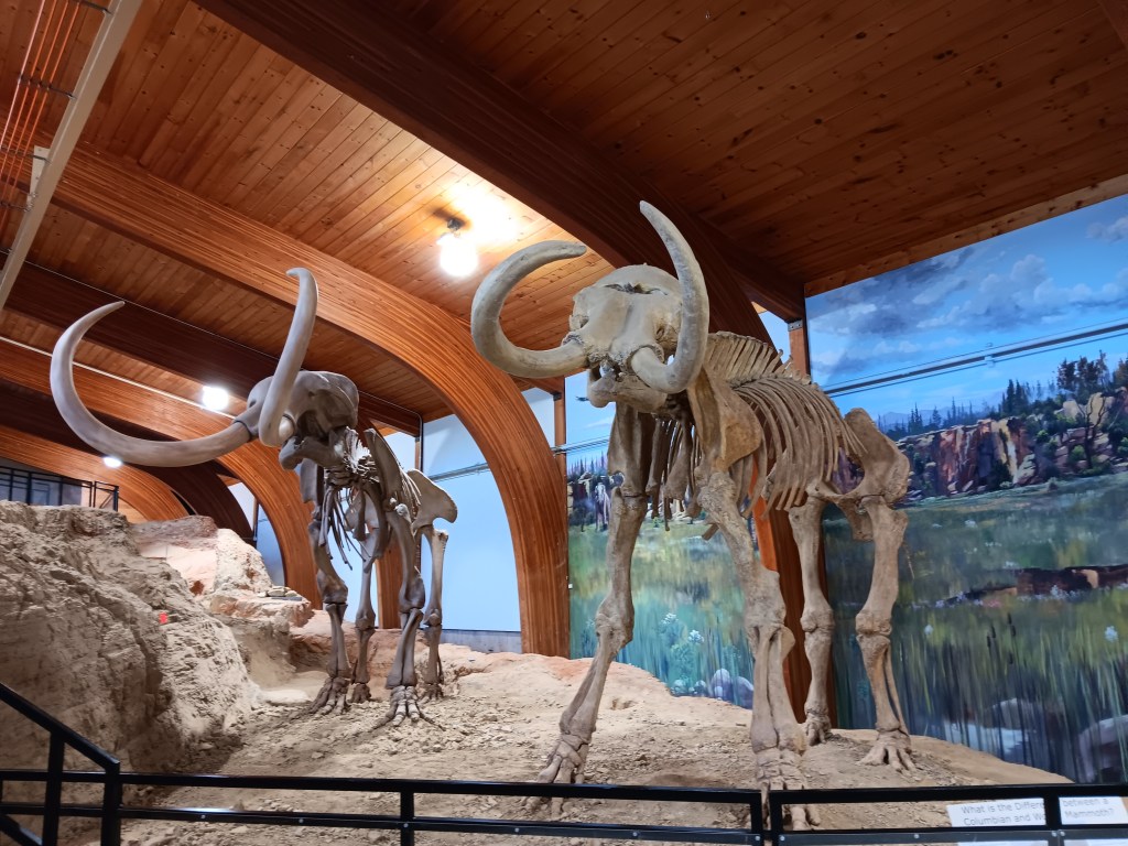
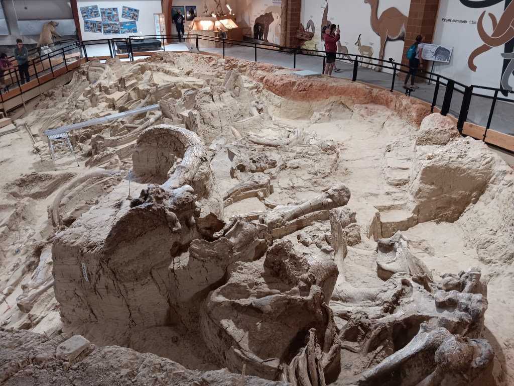
The bones are all in-situ, left in a sinkhole just as they were found so that they can tell the story of the animal just before and at the point of their death, along with how their bones rearranged as the earth moved and the ice retreated.

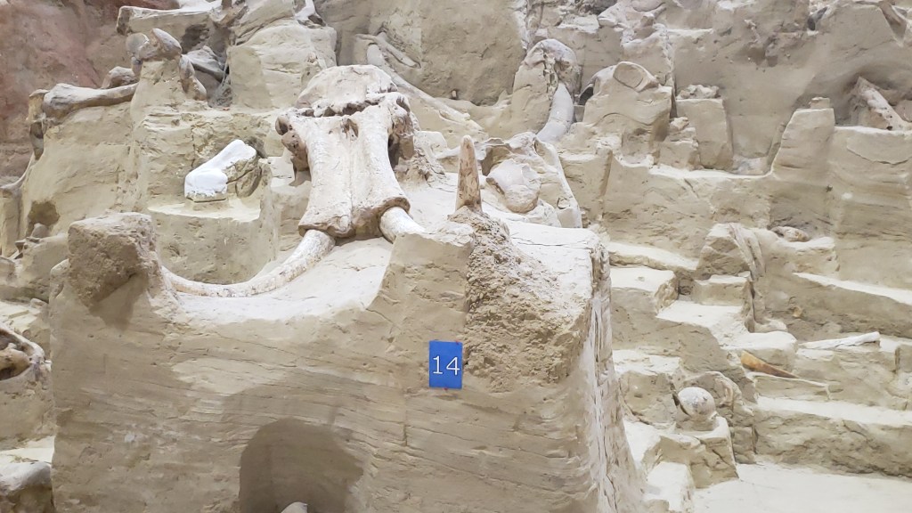
Mammoth skull and tusks

One such mammoth died with its head slumped against a hill, tusks up. When the wall collapsed, the mammoth’s bones disarticulated and moved backward, so that its head was now near its butt.

It’s hard to tell what’s going on here, but one tusk is on the left, the rest of the skull is near the rump

Another is Napoleon Bone-A-Part, the oldest mammoth in the sinkhole, as evidenced by his teeth and the depth at which he was found. He shuffled off this mortal coil at the age of 49, a relatively early demise for an animal that can live to age 60, but life was harsh then, so he may have been fairly lucky…until he fell into that sinkhole and his luck ran out.


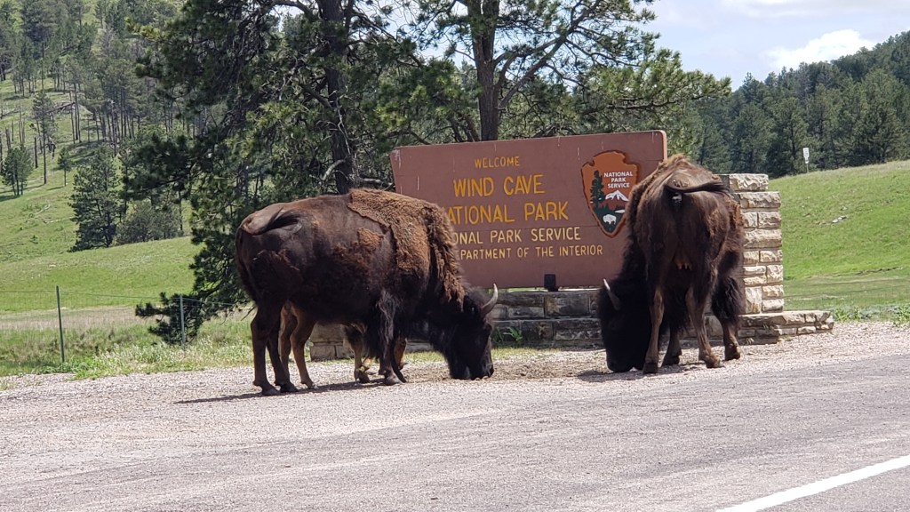
The museum deserved more than 30 minutes of our time, but we wouldn’t leave Ruthie any longer, so we gave her a good walk around the grounds, then made our way toward Wind Cave National Park, which we’d missed when we got distracted by the bison herd along Custer State Park’s wildlife loop.


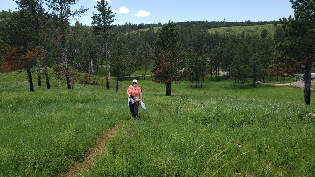
A visit to Wind Cave itself was not to be. The Visitor Center was packed, and the dog-friendly route we were told to take down to the cave was nowhere to be found. Instead, we took a one-mile hike up a hill, just to get some exercise, and hoped Wind Cave was boring enough that we hadn’t really missed anything.

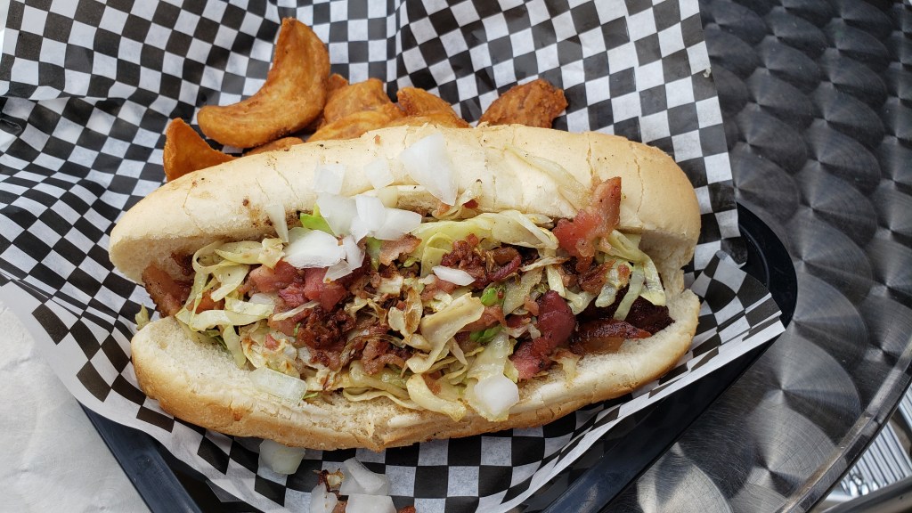
A brewery in Custer had our name on it for lunch, with a dog-friendly back porch and an interesting menu. Simon opted for the bratwurst made with rattlesnake, rabbit, and pork, and Susan chose the wedge salad. No one cares what a wedge salad tastes like, so I’ll get straight to the interesting part: the rattlesnake and bunny brat tasted “like chicken,” Simon joked, but admitted it really just tasted like a meaty sausage, with no odd flavors. “I’d have it again,” he insists.

Would you eat this?

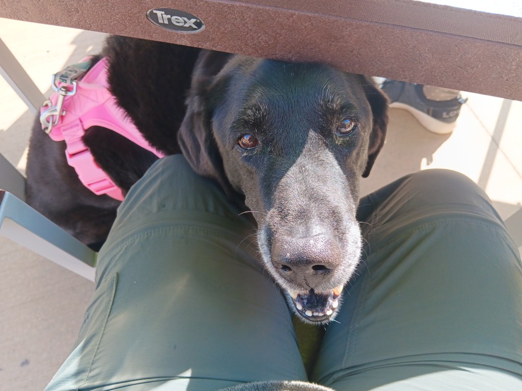
The town of Keystone held some appeal on paper, but the reality didn’t strike us as overly interesting when we arrived, so we drove around a little bit, then got some nice frozen coffee drinks, which captured the full attention of the family dog, who happens to be a whipped cream fanatic.

“Give me that.”

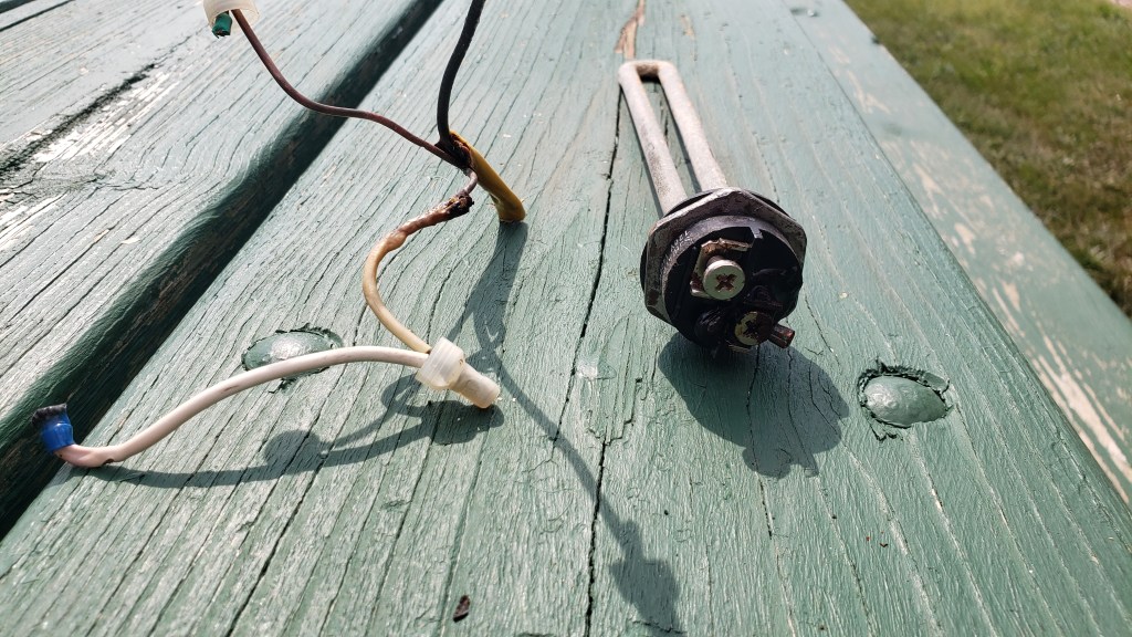
We would make a move to Sturgis Campground and RV Park in Sturgis, South Dakota, the next morning, just an hour or so drive up the highway. But not before a mobile tech showed up to fix our electric hot water situation. His comment, “You’re pretty lucky,” when he pulled out the charred remains of some wiring and the fried electric coil started a downward trend in our thinking, which would ramp up to 11 in the coming days.

Fried

But before that, we still had some interesting exploring to do, on the trail of long-gone wild west heroes.

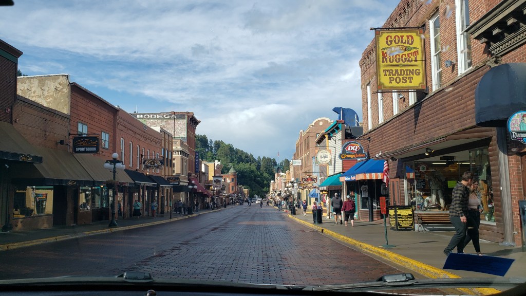
Deadwood is such an iconic name in U.S. history, and we were eager to see it. The modern version, however, is so filled with tourist shops and slot machines that we found no real reason to give it any more time than a quick walk around the main street before heading up a rather steep hill to the town’s cemetery.

Deadwood. The first thing you see when you arrive is a Starbucks

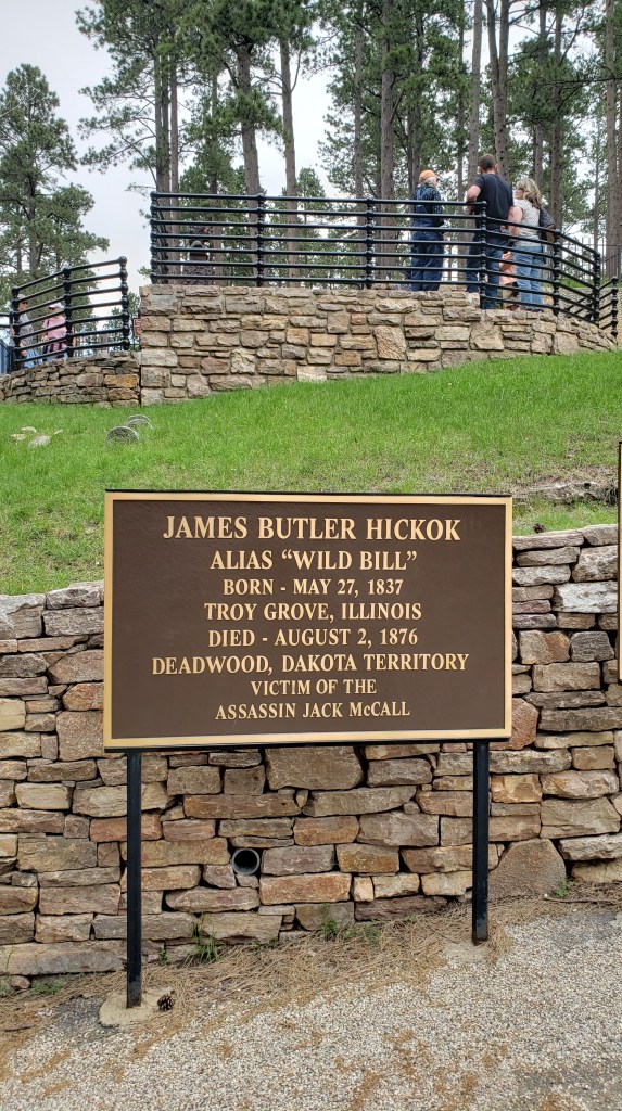
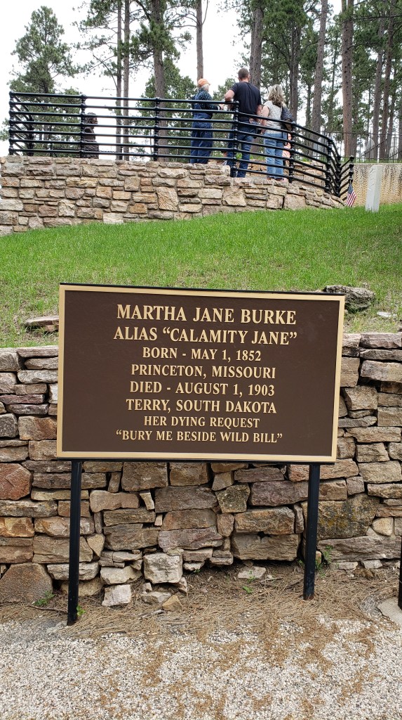
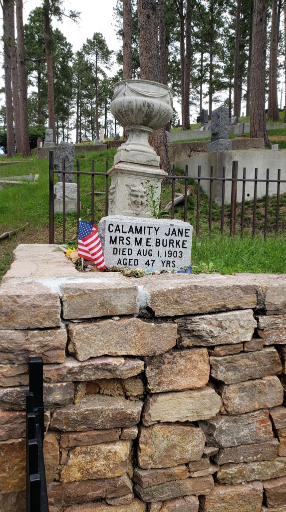
Now, it’s probably not normal, but Susan loves cemeteries. Each headstone tells a story in miniature, like the gargoyles on European churches, and they set off a spark in her brain that is both enjoyable and convoluted. The story of the two people whose gravesites we came to see needs no imagination. Wild Bill Hickock and Mrs. M. E. Burke, also known as Martha Jane Canary but best known as Calamity Jane, have gone down in U.S. history as well-known and beloved figures.

After paying a whopping Senior rate of $2 each to get into the Mount Moriah Cemetery, we hiked up the hill to find their grave sites.

Even without any real interpretation, it was fascinating to see the place in which they found final rest. The gunslinger Wild Bill was shot while gambling in Saloon #10, which is still in Deadwood (sort of), though the name of the bar has been transferred to another bar across the street from the original. The pairs of aces and eights he was holding in his hand when he was shot in the back of the head is now known as the “Deadman’s Hand.”


Frontierswoman and sharpshooter Calamity Jane died of pneumonia and bowel inflammation after a hard-living, hard-drinking life. Finding any two sources that agree on the facts of her life is a daunting task indeed.


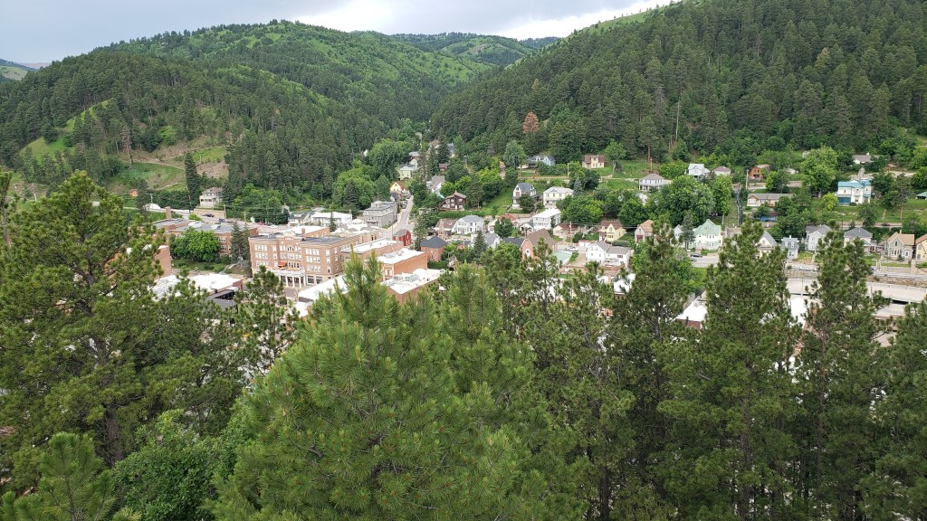
A bit further along in the hilltop cemetery, we found the overview of Deadwood Gulch, and several headstones for babies who departed life far too soon, some at or just before birth.

Deadwood Gulch

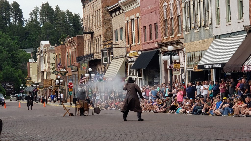
Sad as these tiny headstones’ stories were, another story of woe was about to play out back in town, and we grabbed a couple of curbside seats to watch it. I’m going to be very honest here and say I (Susan) have no idea at all what the story was about, beyond a little gunfight during which neither of the principles were hit, but the bartender took it in the leg. Still, the kids enjoyed it, and that’s what counts.


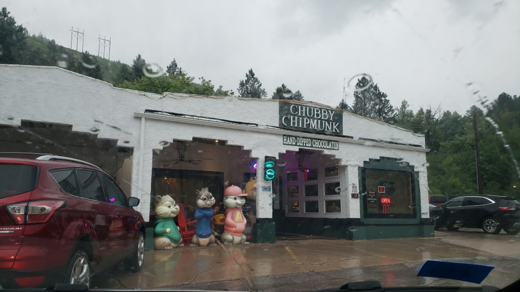
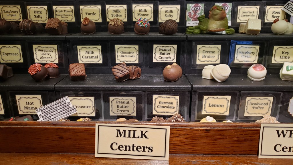
The real highlight of Deadwood, for us, was a visit to Chubby Chipmunk, recommended to us by our dear neighbors from back home. We did buy a six-pack, with Susan having reigned Simon in after his eye-wateringly expensive truffle debacle in Minnesota.


We devoured two of them right away, but doled out the rest over the course of a week. Truffles have never been a habit we want to get into, but so far, we appear to be failing miserably.


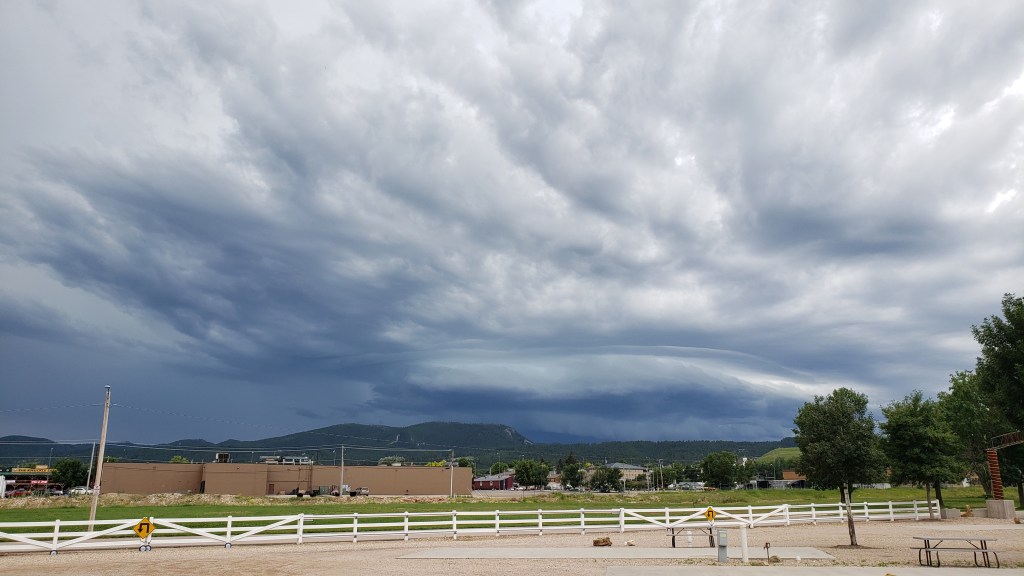
An enormous storm was rolling in as we departed Deadwood, but we’d gotten used to the changeable weather, and slept through the drama to awaken to the prospect of a fresh new day, and a whole new state.

A Year On The Road in The Indy

While we are charting the almost day-by-day story of our grand year-long RV adventure here on the Veness Travel Media blog, we’re also writing a monthly considered piece for The Independent travel section, featuring the full lowdown on how to do this great American road trip. Part one is now online here:

https://www.independent.co.uk/travel/north-america/usa/american-road-trip-usa-florida-minnesota-b2369256.html

Native Americans and Four Dead Presidents

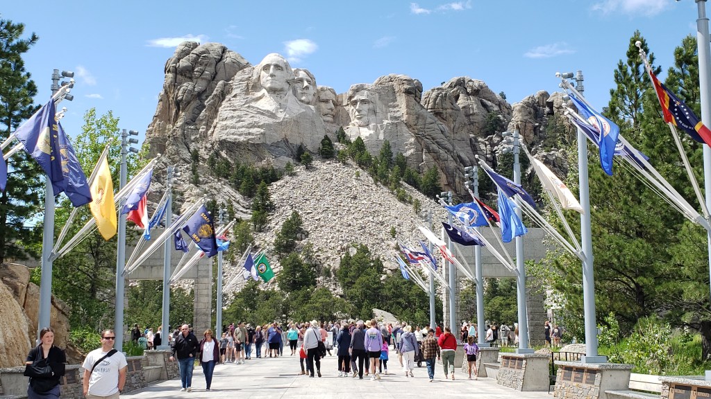
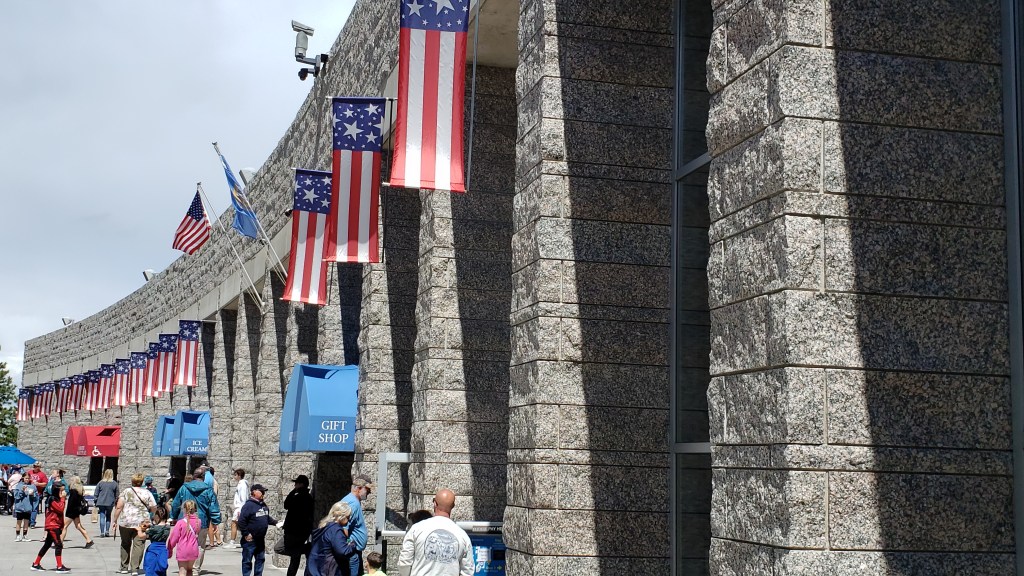
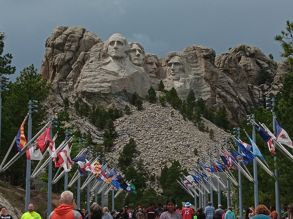
Mount Rushmore with entry plaza
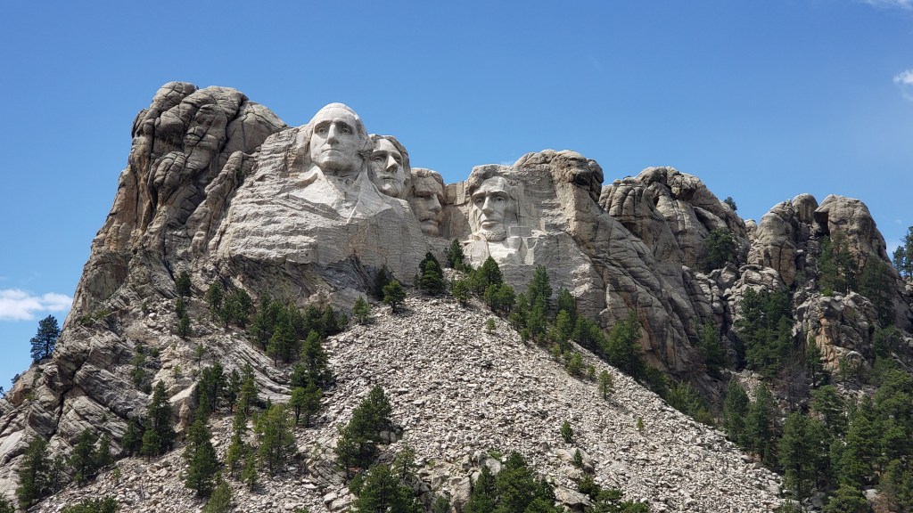
Mount Rushmore

The more we’ve toured, the more questions we’ve had, but that’s part of the point of travel, isn’t it? The boring stuff you learned in school was the hook on which you hung little bits of information that, hopefully, act as a starting point when you’re out in the world exploring.

Susan had constant flickers of those schooltime factoids when it came to places like South Dakota’s Wounded Knee and the events that happened all across this part of the country, but it was all told through the side that “won.” Simon’s point of reference was Westerns from television and movies. Neither of us felt we had a well-rounded story, and we were eager to learn more.

theater road sign
At times, things as simple as a sign had us scratching our heads. What the heck IS this? A roller coaster? A prisoner bus? What?!*

Our next-door neighbors from back home in Florida have a place in Rapid City, and they were there while we were in town and invited us over for dinner. They do a great deal of work with the tribes, teaching them how to play and appreciate music, and we spent several happy hours in their company, learning more about the local tribes and their history. They recommended a visit to The Journey Museum, and that was our next day’s morning stop.

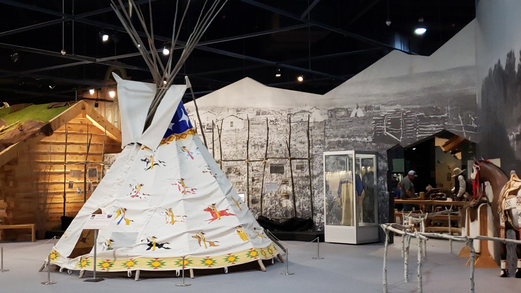
The museum is thoughtfully presented, and while it includes sections on paleontology, geology, and archeology, we were there primarily for the Native American exhibits.

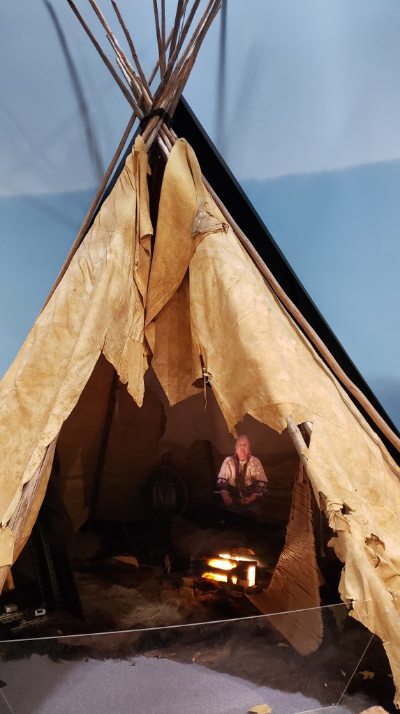
the journey museum tipi exhibit

We’d been told it was difficult to get any kind of reliable history, as the tribes tended not to keep written records in the past, and nobody seemed to agree on what really happened versus what is perceived or idealized to have happened.

Like much of the area’s history, the museum’s Native American and Pioneer sections intersect. It was difficult in most cases to get a well-rounded understanding of the two culture’s realities when they came together or clashed, when the focus is inevitably more on their separate experiences than on a realistic view of “how we got to now.”

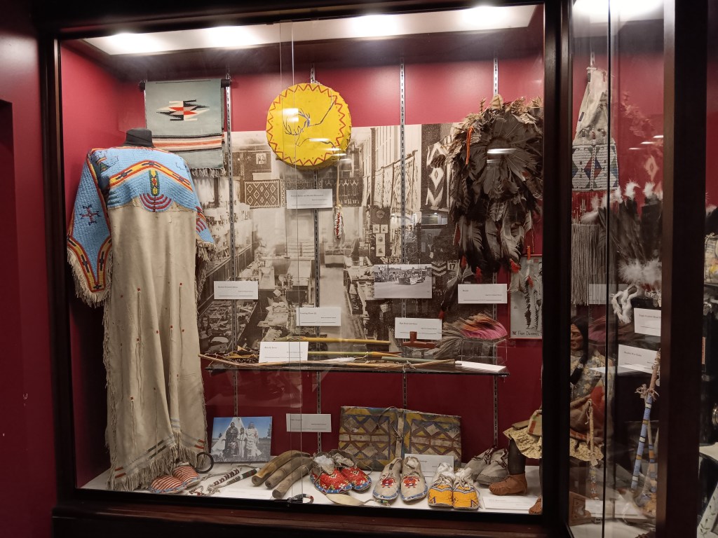
the journey museum exhibit

the journey museum native american exhibit

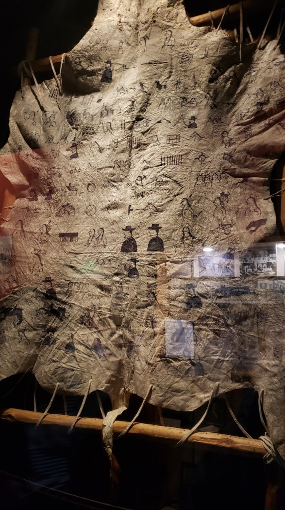
winter count buffalo hide journey museum
This is an example of a Native American “Winter Count,” which is a series of pictographs on buffalo hide that records important events that commemorate each year.

Even so, we really enjoyed the museum’s displays, and Susan was especially happy to see women represented as much as men (almost), with a heart-tugging exhibit that featured (in video style) an older woman talking about how girls were welcomed into womanhood within the tribe. She even sang a lullaby. So beautiful.

journey museum tipi with old womam

Today’s scenic drive was Iron Mountain Highway on our way to one of the country’s most iconic sites.

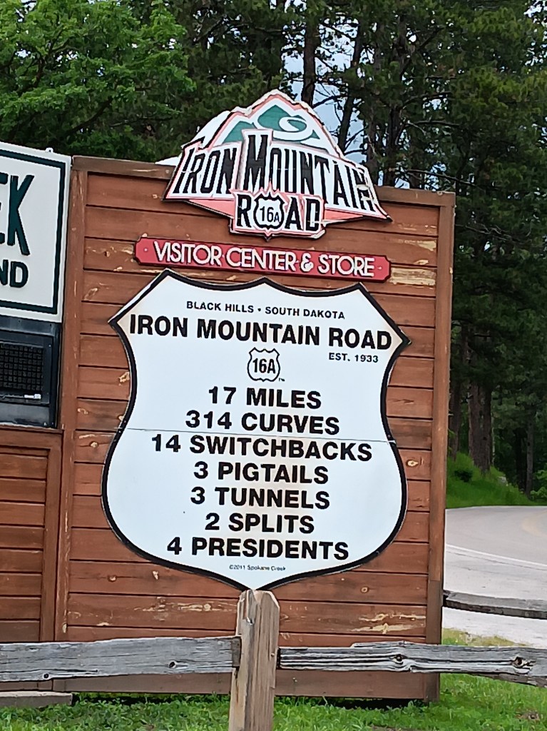
iron mountain highway statistics

We won’t bore you with the outrageous “shortcut” our GPS took us on to get to Iron Mountain Highway, which was so long we began to wonder if we were already on that highway. Instead, we’ll show you a couple of examples of the grand views we had once we were on the right path again.

iron mountain highway landscape

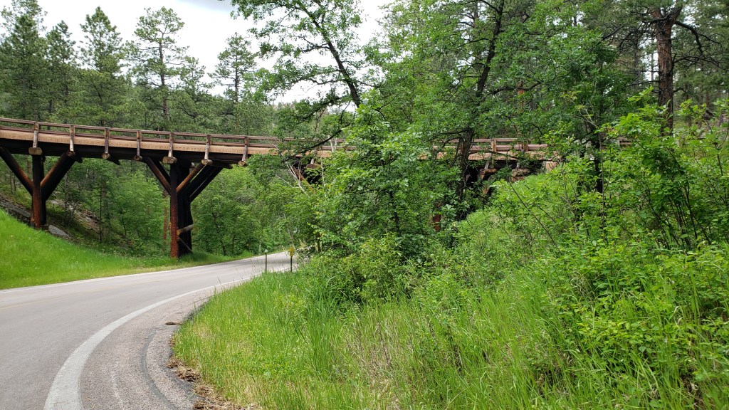
iron mountain highway pigtail
This is a small part of one of the “pigtail” bridges that wind you down the hillside. They’re shaped like…well…a curly pig tail.

iron mountain highway rock formations

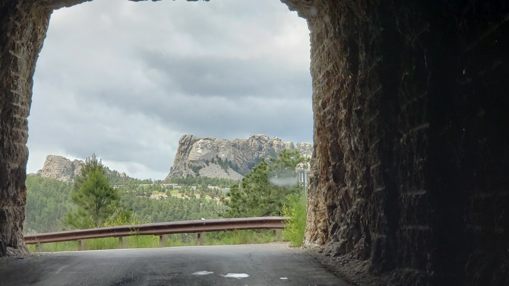
Iron Mountain Highway doesn’t end with the view you’re about to see, but WOW! What a spectacular “reveal” for our next destination!

iron mountain highway tunnel
Can’t see it yet…

iron mountain highway tunnel mount rushmore reveal
Aaaannnndddd…NOW!

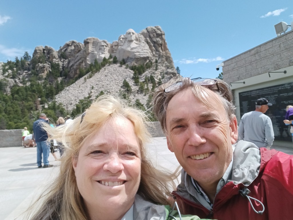
Neither of us ever thought we’d ever be in a position to see Mount Rushmore, and standing there in front of George, Tom, Teddy, and Abe felt just a bit surreal. Considering their human rights records (not you, Abe), we had some mixed feelings before we got there. Once there, we felt a surge of pride and patriotism (in the best sense of that word).
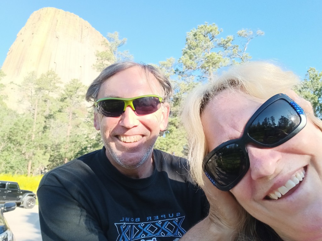
mount rushmore selfie

We probably took 40 or 50 photos of the monument itself, but we’ll just share a few here, including a side view of our first President taken from a cut-out along the road once we left the park.

mount rushmore plaza

mount rushmore 1

mount rushmore 2
The weather was, shall we say, changeable.
mount rushmore side view
That’s George, in the middle of the photo

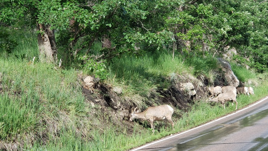
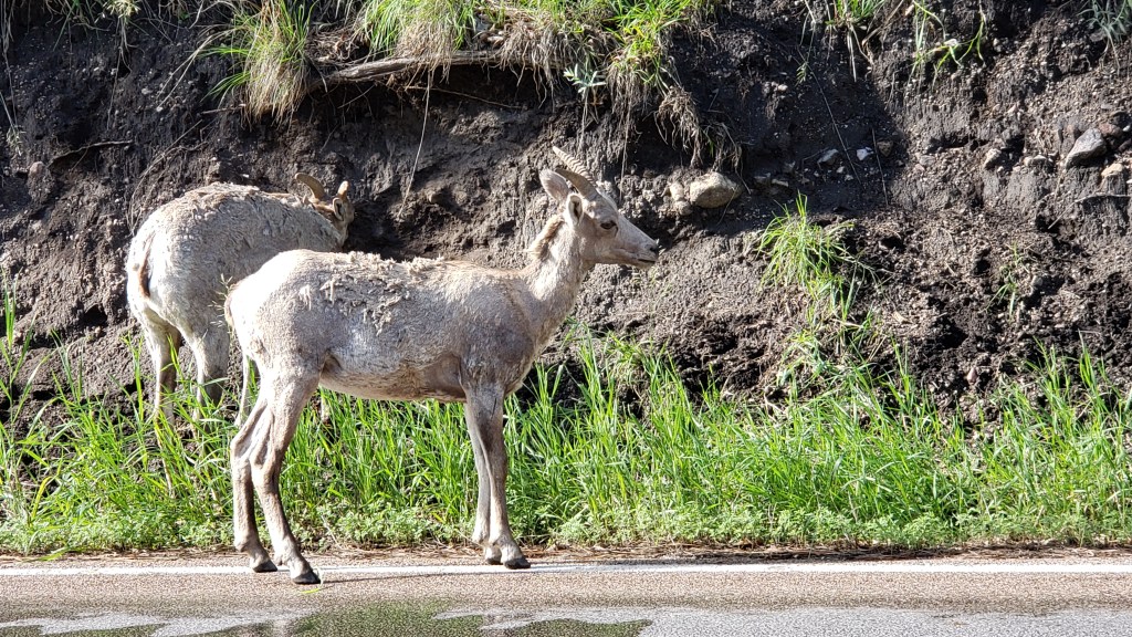
A second drive along Needles Highway was a welcome journey as we made our way down into Custer National Park again, with a stop at one of its visitor centers to get a steer on where to see Bighhorn Sheep (we’d nearly given up on the elk, who, we were told, were spooked by the last few evenings’ thunderstorms and were in hiding), and the docent was right on target with her suggestion.
custer state park bighorn sheep roadside

custer state park bighorn sheep

custer state park bighorn sheep closeup

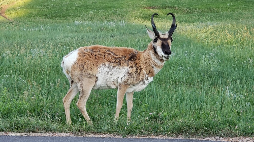
Squeezing the last drops out of Custer State Park, we drove one side of the Wildlife Loop again on our way back to Hermosa, and buffalo and pronghorn herds’ reliability held up.

custer state park bison in evening

custer state park pronghorn male closeup

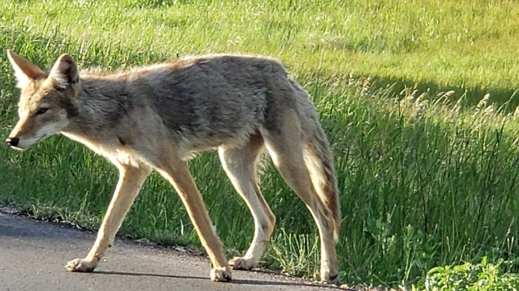
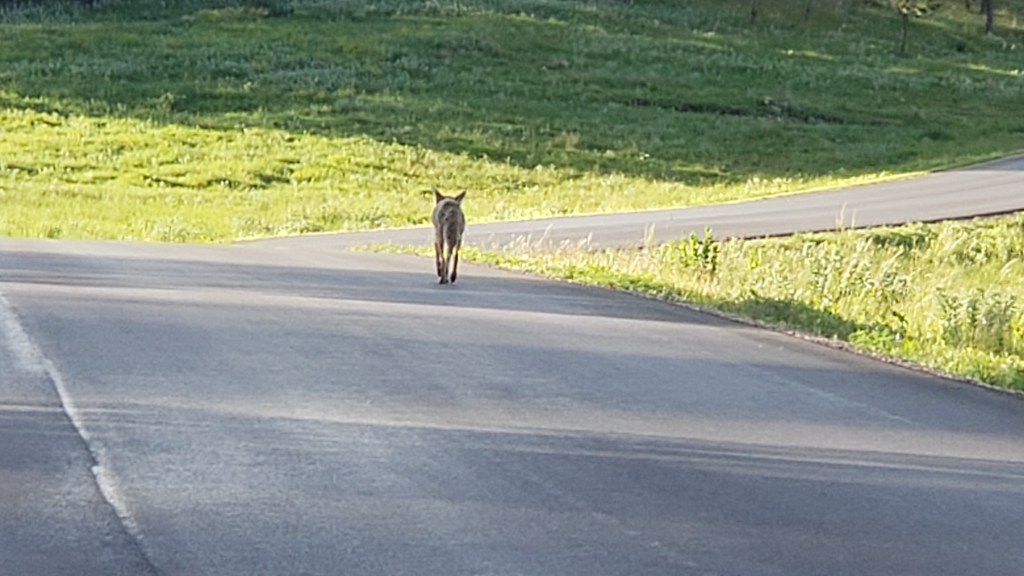
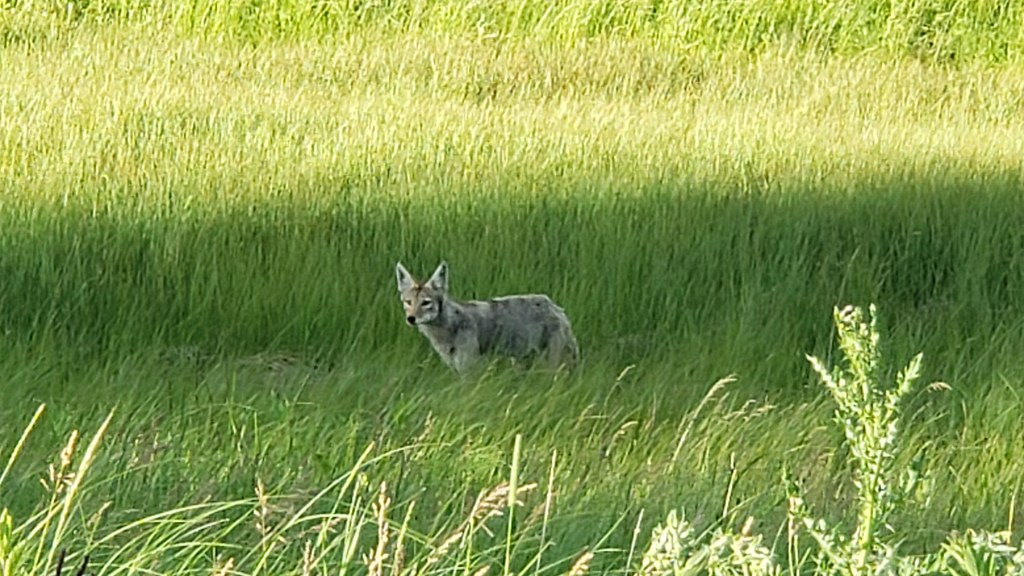
But tonight we were treated to a spotting we didn’t expect at all. We watched this coyote for about fifteen minutes as he/she/they hunted, and our patience was rewarded with an up-close view as the coyote came up to the road, gave us a good look, then trotted away.

custer state park coyote closeup
No zoom lens needed

It wasn’t an elk, but we felt, yet again, we’d been treated to something rare and special. What a great way to cap off a great day!

custer state park coyote walking away

*That sign that had us wondering what it was trying to communicate is for a little tiny theater in the middle of absolutely nowhere. Cute!

The Awesome Ruggedness of Custer State Park

welcome to the black hills

Why were so many places across the country named after a man who lost one of history’s most infamous battles, a battle aimed at genocide of the native peoples? We don’t know, and we’re not in a position to right the historical wrong or re-frame the story, but we will say the State Park named for Lieutenant Colonel George A. Custer, better known as General Custer, is one hellofa fabulous park.

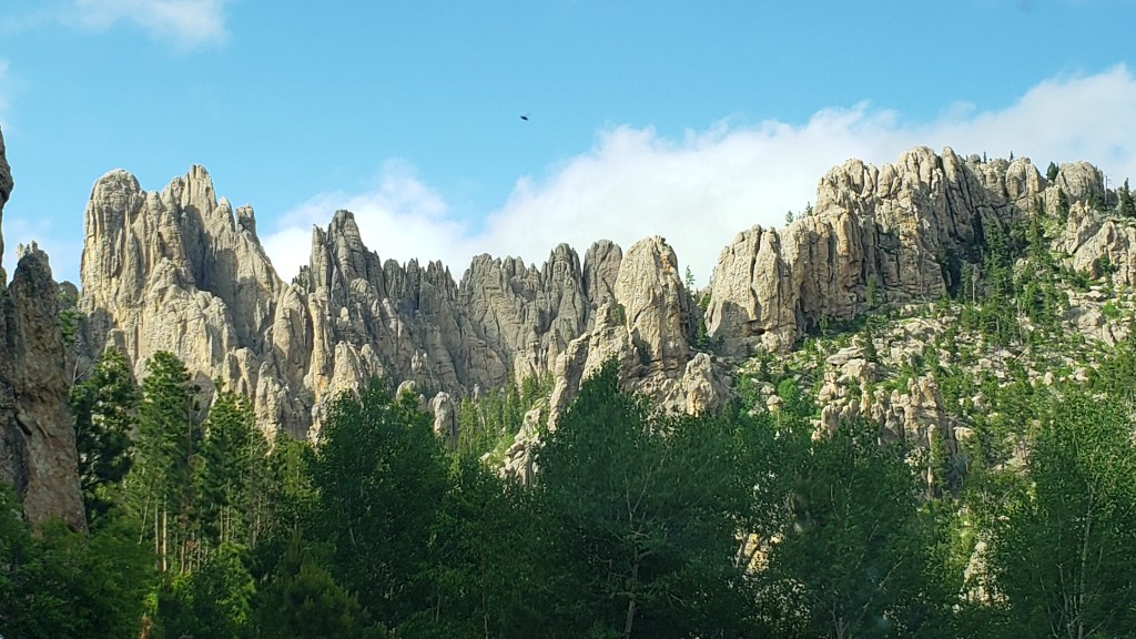
needles highway spires

We could yammer on about the rolling hills and the lush greens that splash across the landscape, as if some insane artist with a passion for the verdant is forever in the process of painting and repainting according to the whims of sunlight and clouds.

rolling hills in south dakota black hills

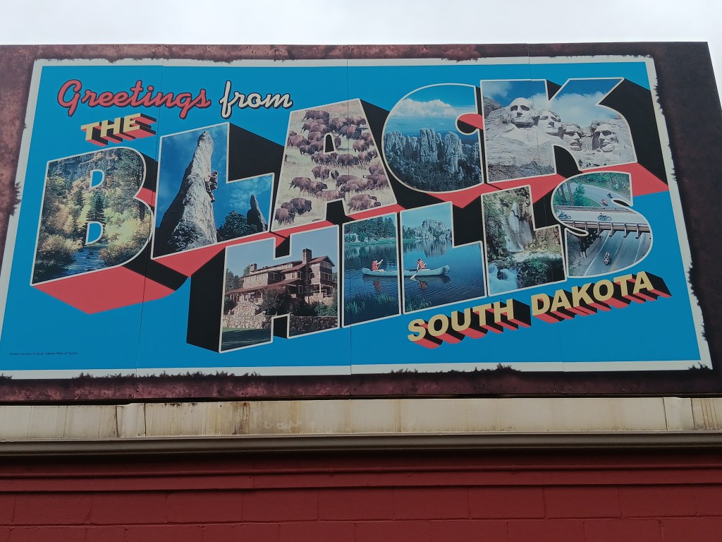
We could wax poetic about the Black Hills specifically, and we could throw in the fact that “hills that are black” is the English translation of “Pahá Sápa,” from the Lakota language of the Sioux people, and that the Black Hills rightful return to the Sioux Nation is a long-standing, contested issue the Sioux are currently losing.

If we really wanted to get all up in ourselves, we’d casually toss in the utterly self-promoting comment that the book, Paha Sapa: Land of the Gods, mysteriously made it into the queue for The Jungle Cruise at Walt Disney World’s Magic Kingdom park, and therefore into Susan’s third edition of The Hidden Magic of Walt Disney World.

But we won’t spend time on those topics, because on our second full day in Hermosa we were all about animal tracking from the comfort and convenience of our car.

We had been lucky enough to see bighorn sheep in the Badlands, and you’ve already read about our encounters with bison in Theodore Roosevelt National Park, so today we were on a mission to track down a herd of majestic elk.

pronghorn in badlands national park
This isn’t an elk

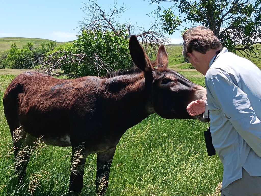
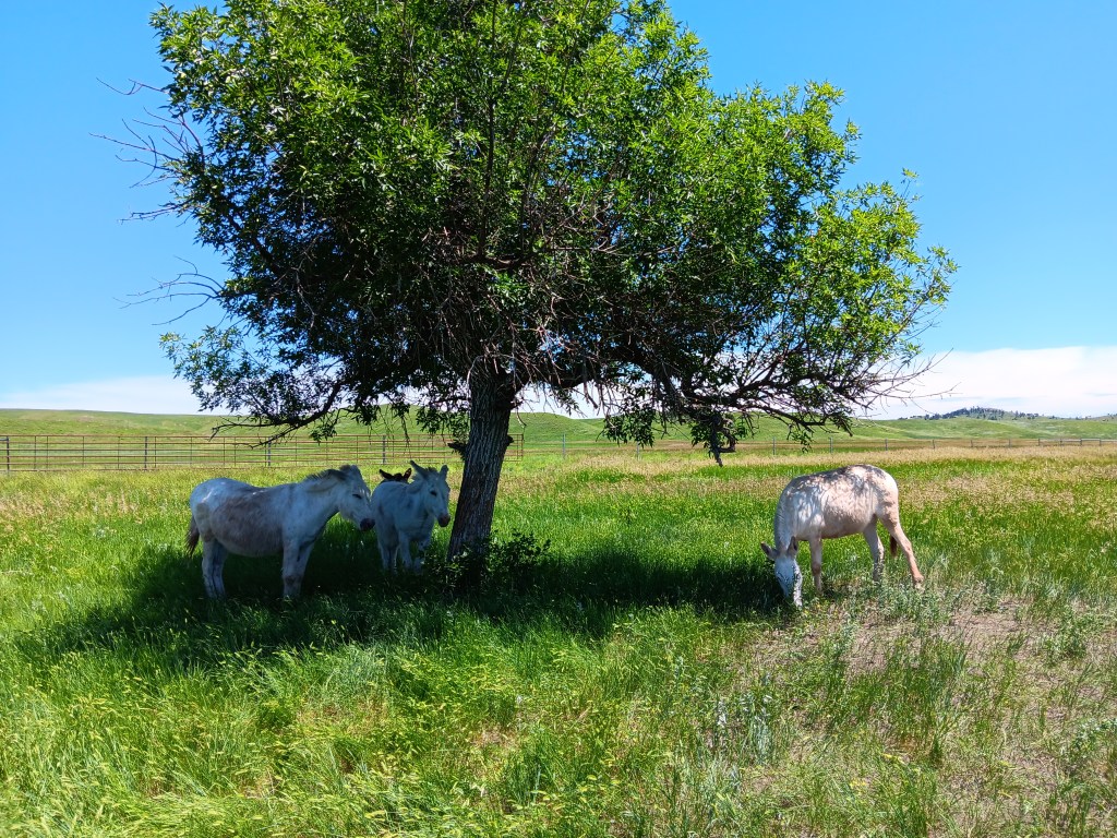
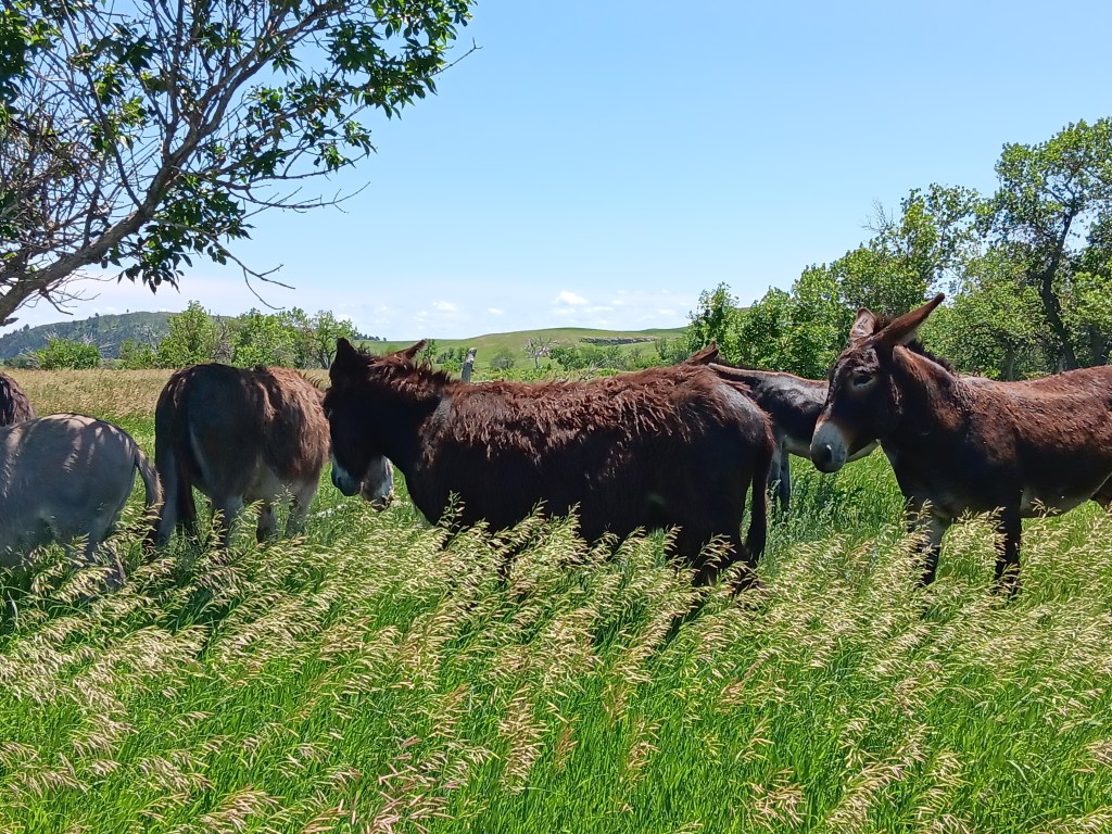
We entered the park’s Wildlife Loop not far from our campground, and first up on our sightings checklist were the burros, fondly nicknamed the “begging burros” for their willingness to eat whatever you’ve brought them (more accurate than “willingness” is “insistence”). Hence, they’re super friendly, and come right up to you rather than waiting for you to approach them.

simon and burro

burro herd custer state park

burros custer state park

Their hearty ancestors were pressed into service nearly a century ago, toting tourists and their paraphernalia up Black Elk Peak from the Sylvan Lake Lodge. Only a small herd is left, but they’ve been roaming wild ever since their forebearers’ tourism-based employment end. Most of them are descendants of the originals, but a few of the burros are donated newcomers.

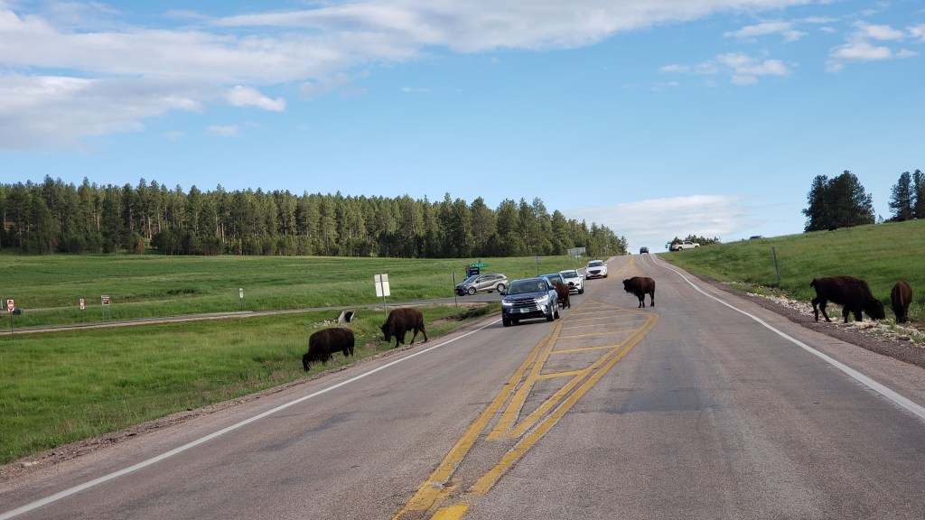
Having frittered away the morning working, it was well past lunchtime when we found ourselves caught up in another bison jam, so we got out our sandwiches and spent nearly an hour enjoying their wanderings, their playful calves, and one truly peevish specimen who wanted to pick a fight with everyone.

bison fighting custer state park

bison herd custer state park

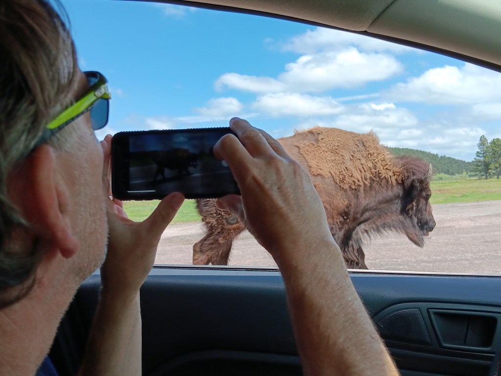
We don’t know what the deal is (probably salt from the roads?), but this herd also had a liking for licking cars, starting with the one parked in front of us. And again, one of the bison gave us the stink-eye through the front window, then spent about five long, long, long minutes alongside Nippy, deciding if it wanted to ram us or just move on.

simon viewing bison custer state park
Scary bison makes a decision

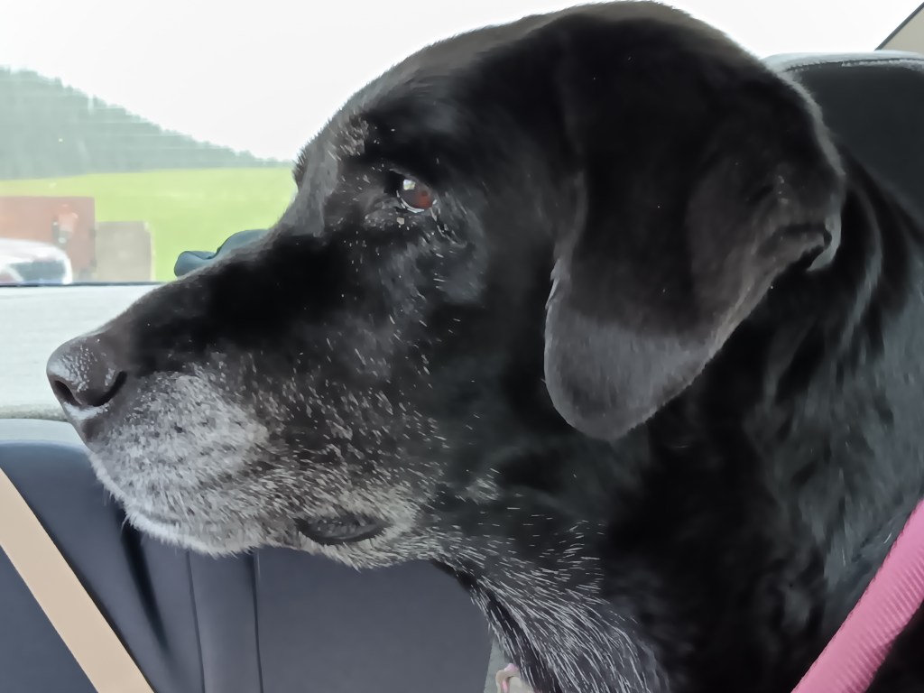
A certain dog in the back seat was riveted, but this time she didn’t bark. She just sat there making little huffing sounds, clearly aware now that the beasts surrounding us were much bigger than she is.

ruthie viewing bison custer state park
Must. Not. Bark!

We moved on when they moved on, and had a lone male on a side road nearly to ourselves as we made our way to Custer, with Needles Highway as our next major adventure.

male bison custer state park

We did stop at Calamity Jane Coffee Shop in the cute town of Custer to help Simon deal with his lack of caffeine, and while I’m not usually a coffee drinker, I got one anyway and it was honestly the best cup of mocha and Joe I’ve ever had. Sadly, Jane wasn’t on hand that day, but her employee was friendly and the bathroom was clean. Score!

custer south dakota

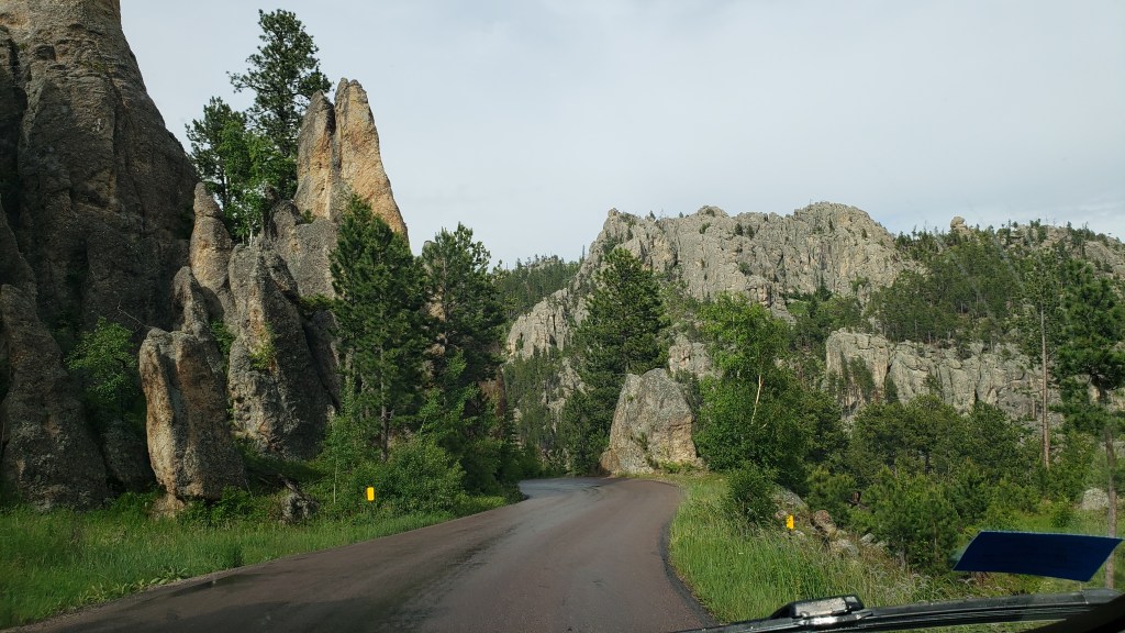
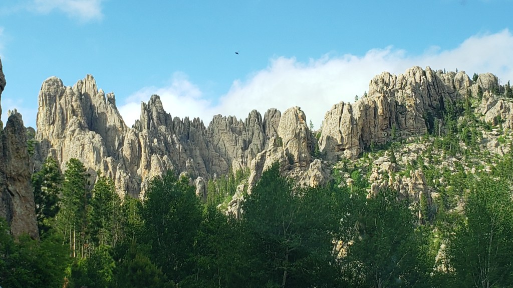
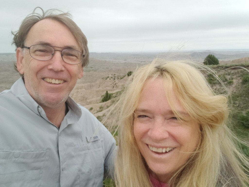
Needles Highway is a 14-mile scenic drive punctuated by the most outrageous granite spires that were pushed up sideways by the forces of nature. Every turn reveals a thrilling aspect, and we goggled at the magnificence and took selfies like the tourists we are.  

needles highway landscape

needles highway selfie

needles highway spires 2

South Dakota’s governor, Peter Norbeck, mapped out the entire trail that would become Needles Highway on foot and on horseback. It’s so winding, and has so many tight turns, it takes nearly an hour to drive just 14 miles, even longer with stops for panoramic photos. But you want to go slow, because this is prime elk territory, and we’re out for elk sightings today. Right?

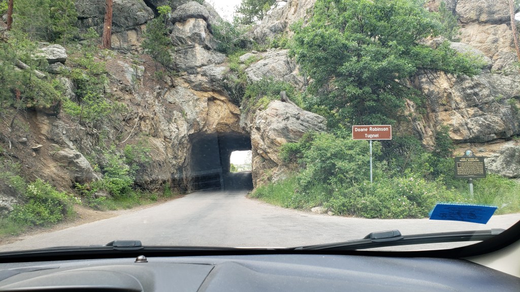
There are three tunnels along the highway, carved through the rock by wind, rain, and the area’s harsh winter weather. Each tunnel is impressive, but we’ve never seen a tunnel more impressive than the Needle’s Eye. Nippy is small, but Simon could touch the side of the Eye as we drove through.

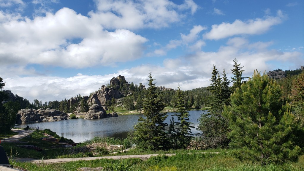
We agreed we’d have to come back and do Needles again, next time stopping at the lovely Sylvan Lake for a stroll and a picnic lunch. When we finally did that a couple of days later, the weather suddenly turned freezing cold, and was hammering down with rain and pounding with thunder and lightning, so we sat in the car and had lunch while feeling very, very sorry for a bridal party running through the storm to get to the lake’s reception hall, with all the girls in sheer, sleeveless formalwear and the bride’s veil whipping in the wind.

sylvan lake custer state park
This is what Sylvan Lake looked like three minutes before a massive thunderstorm hit

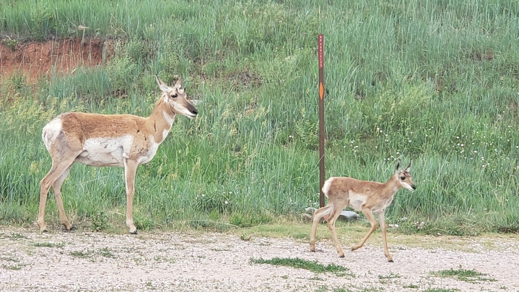
After Needles we went back to the Wildlife Loop, where the Visitor Center assured us we’d have a chance at spotting elk as dusk came on. Instead, we saw deer and lots of pronghorn, including the wonderful treat of a mama pronghorn and her baby, with daddy not far behind.

pronghorn mother and baby custer state park

pronghorn mother dad and baby custer state park

We made two more trips into Custer State Park after that, determined we’d see elk, but to no avail. To add insult to injury, a couple we got to chatting with at the campground said they’d seen a herd of elk right on the road the previous evening, at around 6:30 p.m., which was about 15 minutes before we arrived at the same spot that same evening.

Would it take until Yellowstone before we’d see elk, or would South Dakota be kinder to us than that? Either way, what a grand and exciting place for wildlife and for absolutely magnificent scenery. But Custer wasn’t done surprising us yet.

coyote custer state park

South Dakota’s Badlands And The Results Of Effective Billboard Marketing

Badlands National Park selfie
South Dakota’s windy Badlands

We entered the new-to-us state of South Dakota on June 19, eager to see more of the Dakotas after a fantastic stay in the northernmost state in the Midwest. We’ve got a week in Hermosa, then 3 full days in Sturgis, to see Custer State Park, Crazy Horse, the town of Custer, Deadwood, Badlands National Park, Needles Highway, and Six Grandfathers, now known as Mount Rushmore.

To break up the long trip from Medora to Hermosa, we had an overnight stop at Harvest Host location, Belle Valley Ancient Grains in Newell, SD, which felt incredibly rural but was just minutes off the highway heading south.

Belle Valley Ancient Grains

We learned about the ancient grains owner Brian is farming, and came away with whole Spelt and White Sonora Wheat that we’ll make into grain bowls and hot cereal.

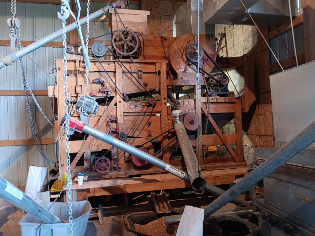
Belle Valley Ancient Grains grain machine
The 1950s machine Brian uses to separate the grain from the waste, before putting it through high-tech machines that finish the job.

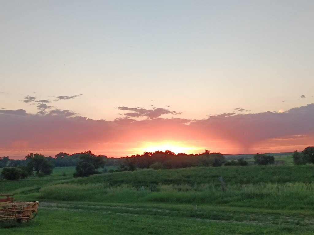
Belle Valley Ancient Grains sunset
It’s hard to beat a stunning sunset over pastoral land

Then it was on to Hermosa, with a butt-clenching 11 miles through construction cones on a highway with a speed limit of 75mph. You can imagine the number of cars that passed us after the construction zone ended. We’ve decided their honking and single-finger salutes are congratulatory celebrations of how well we navigated a tight lane with harrowing twists and turns, and we felt very special indeed.

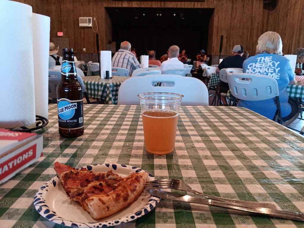
But enough of that, and on to the touring. We settled in at Heartland RV Park, enjoyed a pizza and live music at the campground’s event center, and had a relatively quiet night (rain is loud when you’re in a metal can), then made our way to Badlands National Park the next morning.


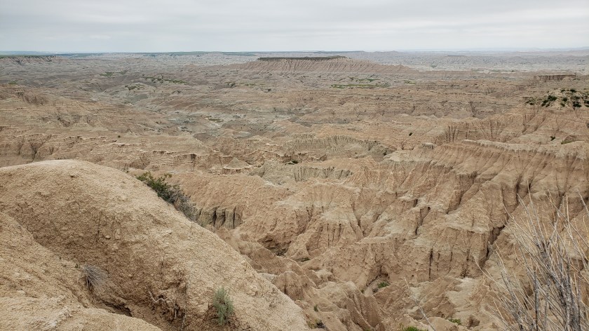
It was quite cloudy and windy all day, but that didn’t deter us.  We were on a mission to see something other than the rolling hills we’ve been driving over, and even before we reached the park, the landscaped changed. Immediately off the highway, the hillsides on either side of us opened to two massive valleys, with structures completely different to the ones we saw in Theodore Roosevelt.

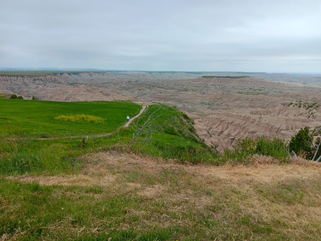
Badlands National Park valley
For scale, that teeny tiny white dot you can barely see at the end of the dirt pathway on the far edge of the plateau is Simon, and a lady who had just come from the Black Hills is in the foreground.

Badlands National Park valley up close

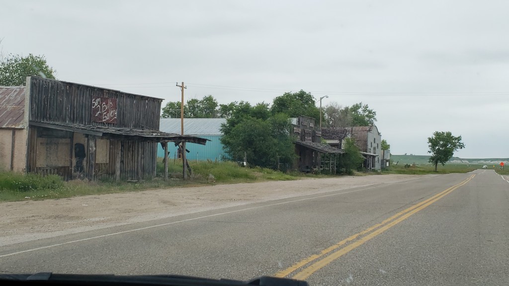
We made a quick stop at the Visitor Center, where they told us we could find gas in the appealingly-named town of Scenic if we needed any, but when we found it, it had obviously been a dead town for years. Decades maybe. The gas station had a price of $5.55 per gallon, so we’re guessing the place drew its last breath back when Jimmy Carter was President. Luckily, Nippy is very sippy, so we didn’t need to fill up until evening.

Scenic South Dakota
Is Scenic scenic? You decide!

Scenic South Dakota 2

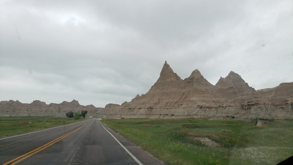
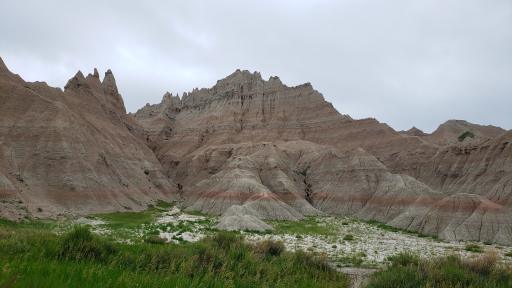
Once we reached the first outcroppings, it was obvious we were in an entirely new landscape. The peaks were sharper at the top and more angular as they descended, with a softer, more “melted” look when we got up close.

Badlands National Park peaks

Badlands National Park Bands of Time
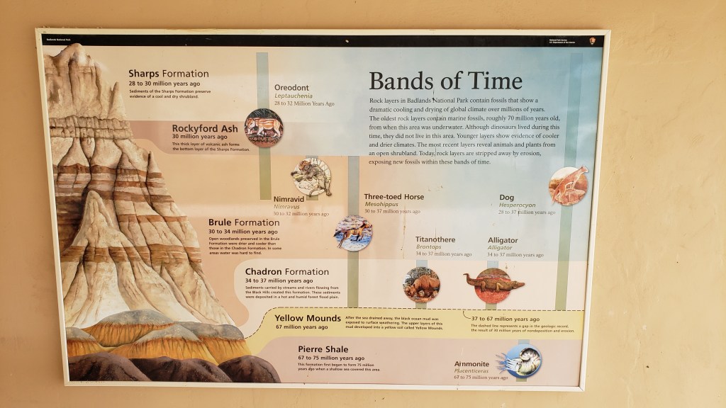
We were given a guide that showed what each later represented, moving from the oldest layers at the bottom to the youngest at the top.

Badlands National Park range

The badlands here were created by runoff that washed into an inland sea as Colorado’s Rocky Mountains rose into existence. We could see the layers when we took a short hike into a wide canyon, and the ground we were walking on was primarily the finest silt imaginable. Just like walking on talcum powder.

Badlands National Park simon and ruthie
The white pathway feels exactly like talcum powder

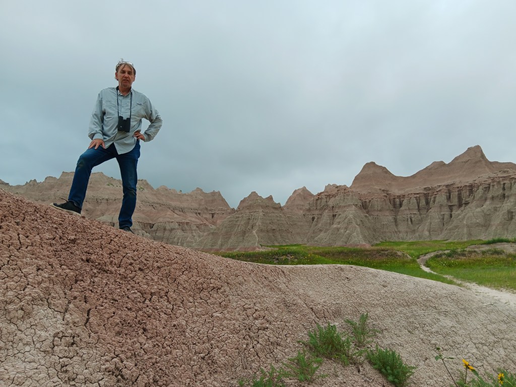
Other areas in the same canyon were like petrified mud, hard enough to create hills you could stand on but also dry and cracked on some surfaces.

Badlands National Park simon mud mound
This ancient sediment is described as “popcorn” rock

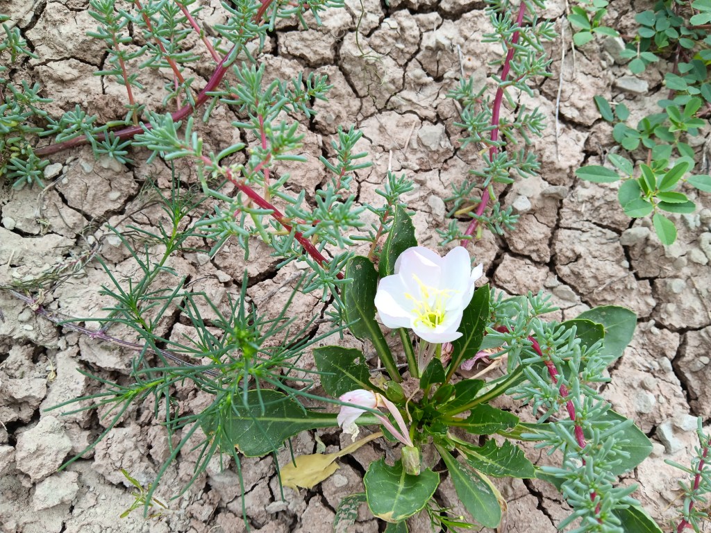
Badlands National Park flower
Even on that barren surface, the most delicate flowers have taken hold.

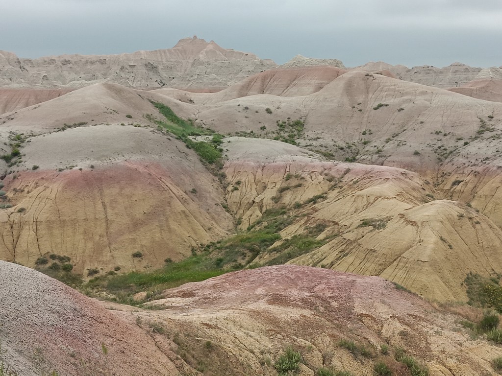
Another surprise were the “yellow mounds” (called paleosols) that were left when the inland sea drained away and chemicals from its plants left staining of yellow, red, purple, and gray. Against the cloudy sky, they’re less striking, but when sunlight hits them they positively shine.

Badlands National Park yellow mounds
Some yellow mounds we saw were only yellow, while most were multi-colored. We missed the sunlight photos, but you can imagine.

We could post a few hundred photos from the park, but we’ll spare you that and instead share a few from the absolutely bizarre town of Wall, our exit point from the park as we headed north to Hermosa.

Normally, commercials on TV and billboards along highways have zero impact on us. But Wall Drug Store is too smart for that, and the sheer number of billboards they’ve installed made it inevitable Simon would have to see what all the fuss was about.

Wall South Dakota
Our introduction to Wall

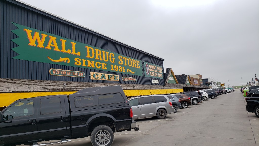
Like Buc-ee’s, if you’ve been there, you know. Wall Drug Store is just…massive. Like, a full city block massive.

Wall Drug Store facade
Not all of these storefronts are Wall Drug Store, but most of them are

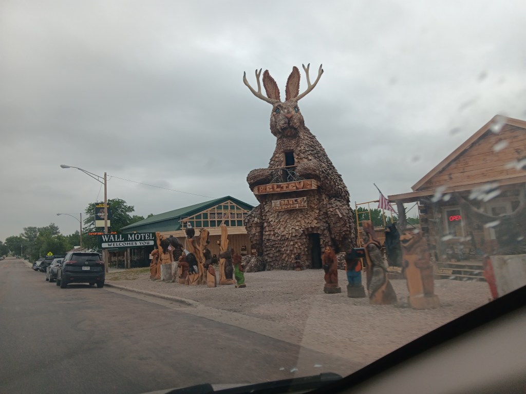
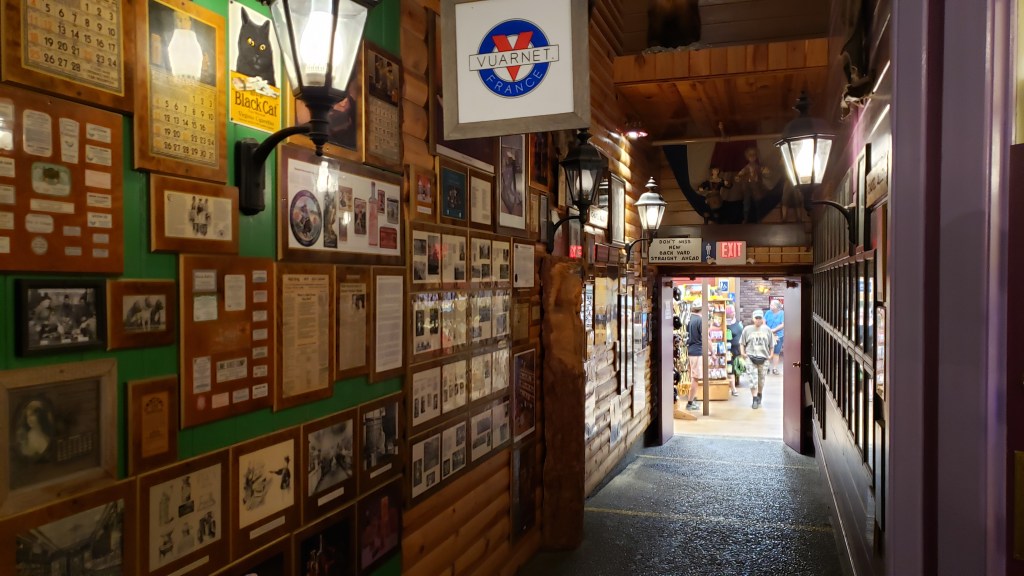
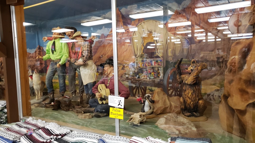
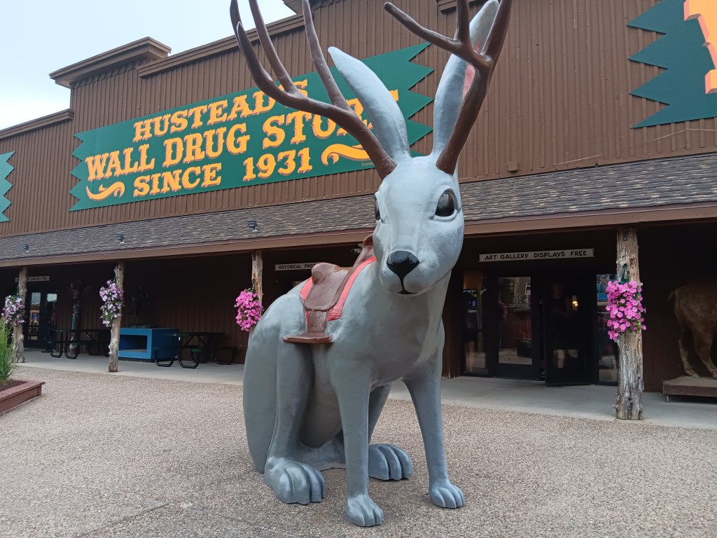
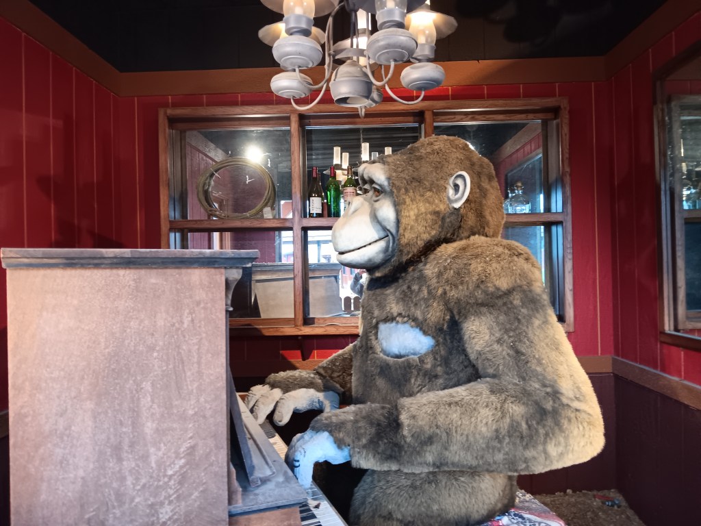
Want a billion shot glasses, T-shirts, cups, mugs, magnets, and every other form of tourist crap you can imagine, all wrapped up in interactive stuff that includes a jackalope the kiddies can sit on, a gorilla animatronic playing a piano, and an insane trio-plus-one of mechanical cowboys singing in a wild-west setting of howling coyotes and an upset bear? Wall Drug Store has all of it and much, much more.
wall drug store interior

wall drug store mechanical band
This is a terrible photo, but there was no way to avoid the glare. Still, it softens the full horror.
wall drug store jackalope

wall drug store gorilla
Why?

We didn’t buy anything. We didn’t even try the “free water” the store so proudly advertises on the front façade. But we’ll remember Wall Drugs with the same fondness we remember that wacky gas station with a beaver as its mascot.

wall drug store front

Tomorrow (subject of our next blog) would see us making the first of many trips into Custer State Park, and we’ll just say that at $20 for a seven-day pass, we absolutely got our money’s worth.

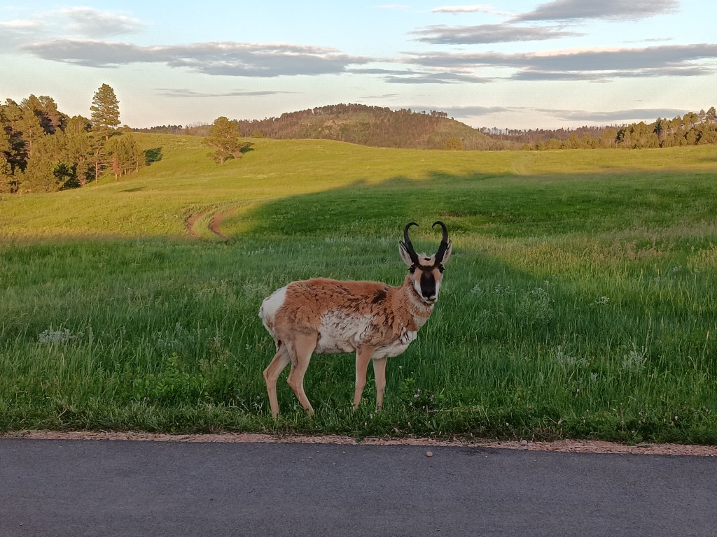
Custer National Park male pronghorn
Hello, handsome!