Exploring Gorge-ous Idaho


If there’s a massive crack in the earth, Simon wants to explore it. Southern Idaho seemed to be riddled with them, from the modest Box Canyon to the gargantuan gorge in Twin Falls, a rift so long and deep it had become a world-renowned location for the extreme sport of Base Jumping.

We had a long day in store as we left Fati at the campground and drove west, with Box Canyon State Park, Thousand Springs State Park, and Bruneau Dunes (the tallest single-structure sand dune in North America) as our goals.

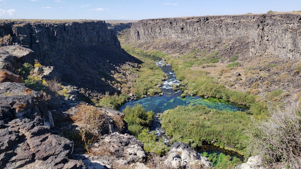
Box Canyon State Park proved to be more of an overlook than an actual park, what with being surrounded by cow farms and having nothing but a porta-potty at the dirt parking lot, though if we’d had the inclination we could have hiked from the top of the canyon to the clear, bright-aqua waters of the river below. But you already know that’s not something we could (or would) do with a senior dog in tow.


Thousand Springs also found us wandering aimlessly. The road down to the springs was steep and winding, and either a thrill or unpleasant, depending on which one of us you ask. But as so many locations we’d visited in Idaho had done, this one closed on Labor Day, which was the day before our visit.
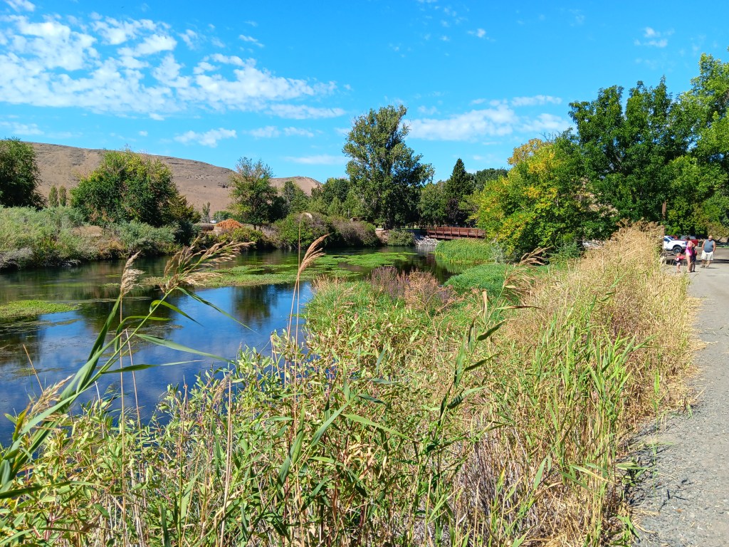

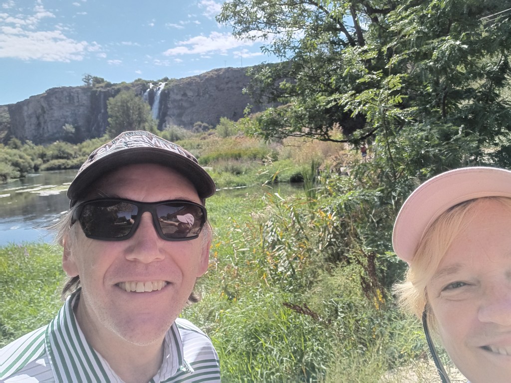
We enjoyed the falls, just to say we’d done something, then headed to the day’s headliner attraction.


Along with Craters of the Moon, one of our original must-see locations in Idaho was Bruneau Dunes State Park, where our plan was to rent a couple of sand sleds, climb to the top of the dunes, and freewheel our way back down, with me sitting on a board with Ruthie on my lap and Simon taking the plunge wakeboard-style.
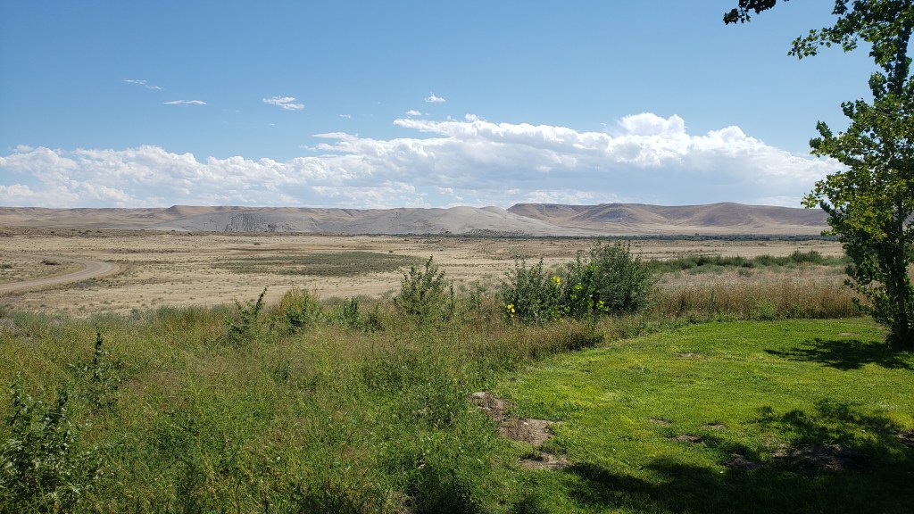
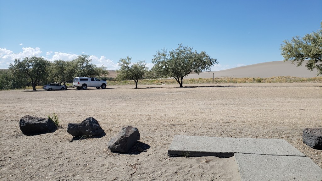
The dry, gravely landscape and fascinating trees reminded us of our trip to Botswana, where Simon went to school for a few years.

It was a ridiculous idea. Sure, the sand would probably prevent any broken bones when we came crashing down, but one of us was bound to get injured, and Ruthie would never tolerate the walk up, or the slide back down. We were saved from ourselves when the early afternoon temperature edged up to 90F, ten degrees hotter than it had to be for the Visitor Center to suspend all sled rentals.

The trip wasn’t a waste, though. We had a nice picnic in the shade of a pavilion by the river, then sweated our whatsits off with a climb up the smallest dune.
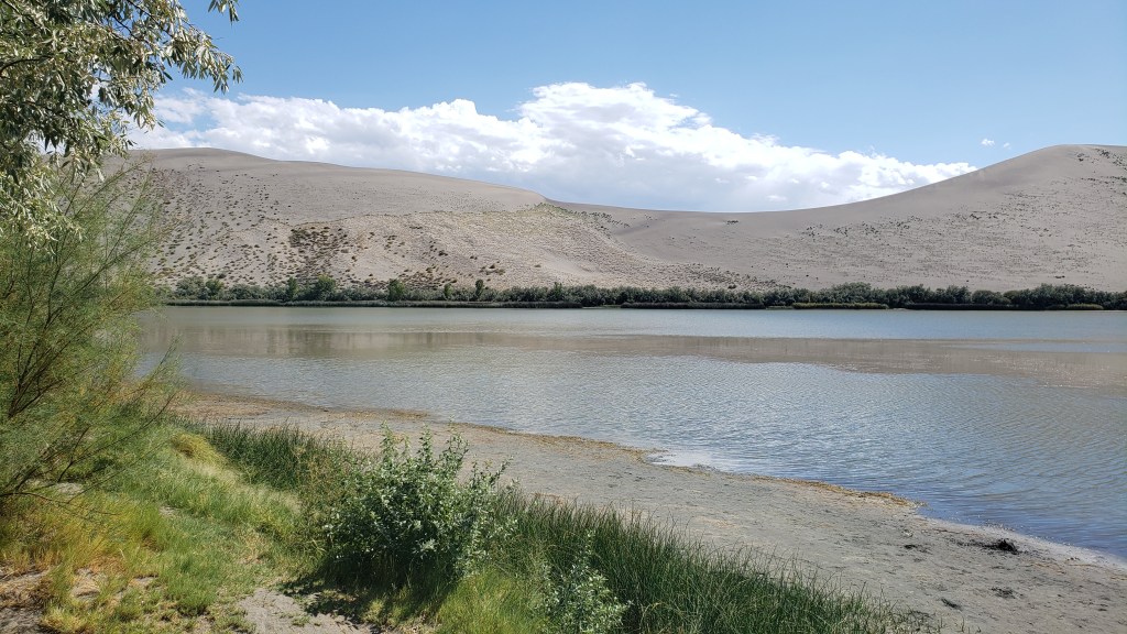

Oh, look! Another lunch whose components have nothing to do with one another!


Ruthie doesn’t like it when we’re not all huddled together in a group, and we knew she’d want to follow whoever went up the dune first. So we put her booties on to save her paws from the blistering sand, and told her to climb as high as she wanted to, and no higher.
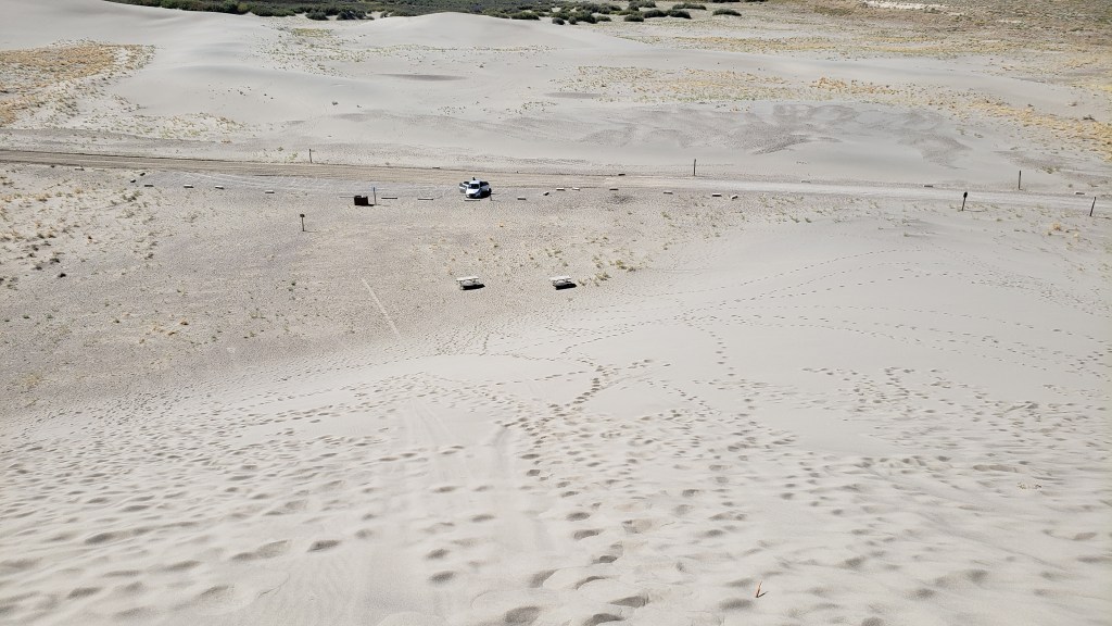
Click on photo for video

Click on photo for video

View of Nippy from the top of the dune.

We weren’t exactly batting a thousand in terms of WPM (Wows Per Minute), though we definitely enjoyed what we’d been able to do, so Simon decided a quick detour to Malad State Park was in order, for one more chance to stand on the precipice of a deep crevasse and lean out over it as far as possible.
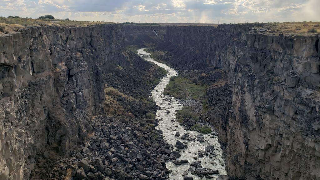
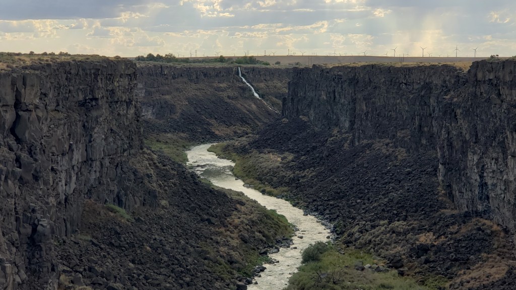
Here you get some small idea of the length of this gorge, with the tiny white line at the back being a waterfall.

Zoomed in a bit more, you can see the waterfall a little more clearly. We’re constantly amazed at what rivers can do to solid rock, given time.

Happily, there was a long, metal bridge spanning the gaping fissure, which gave him an excellent view of the river below. Ruthie joined him, and her bravery was rewarded with a little butt scritch.


But it was our next day’s trip out to Twin Falls that cranked the thrill factor up to eleven. We knew we wanted to see the famous Perrine Memorial Bridge, and we hoped with all our hearts there would be a base jumper or two.

The bridge spans the Snake River, a waterway made famous by the Lewis and Clark Expedition as they journeyed west in an effort to discover what, exactly, the country had gained through the Louisiana Purchase, and where, exactly, that land purchase ended.


That isn’t why it’s famous now, though, at least not with extreme thrill seekers. Today, it has a well-earned reputation as hallowed ground, being the only place in North American where it’s legal to base jump, year-round.

Our hopes of seeing someone jump were met twenty-fold. All day long there are jumpers taking the dive into Snake River Canyon, either as singles or in tandem, some of them longstanding pros, some entering into it for the first time. Some dove in head-first, others did somersaults, but however they left that ledge, it was massively impressive to spectators lining the stone wall along the edge of the gorge.

Click on photo for video

You can feel the anxiety in this person before jumping.
Click on photo for video

We made it a point to speak with a few jumpers, and hit absolute gold when we met Sam.

Former military paratrooper Sam never said anything about being Tom Cruise’s stunt double, but if he’s not, I’ll eat a pound of liver and onions from a filthy truck stop deli (no I won’t; I’d never do that). He looks like Tom’s twin, he speaks as if he’s dealt with media all his adult life, and he’s possibly the best advertisement for fitness and extreme sports you will ever find.

We chatted for about half an hour, then watched him walk out to the middle of the bridge, climb over the railing, stand on the narrow ledge, and swan-dive into the gorge. His parachute opened, and he soared effortlessly to the target point on the side of the river.

It was an astounding feat, but even more incredible was that jumpers then have to repack their parachutes and climb the rocky cliff out of the canyon. Sam scaled the cliff as we looked on, and gave us a final comment as we waved goodbye. “That’s the hard part,” he said.
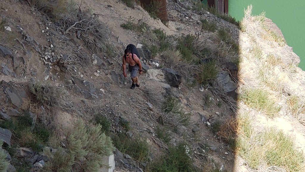
This is Sam. Sam just jumped. Sam is now hiking up a 5,500-foot gorge. Strive to be like Sam in all your endeavors.

We could have watched all day, but it was getting a bit too hot for Ruthie, so we cranked up Nippy’s A/C and drove to the nearby Evel Knievel Jump Site. Those of us with birth years starting with the number 1 probably all remember the crazy daredevil whose unrealistic motorcycle stunts led to 433 broken bones over the course of his 15-year career as a performer.
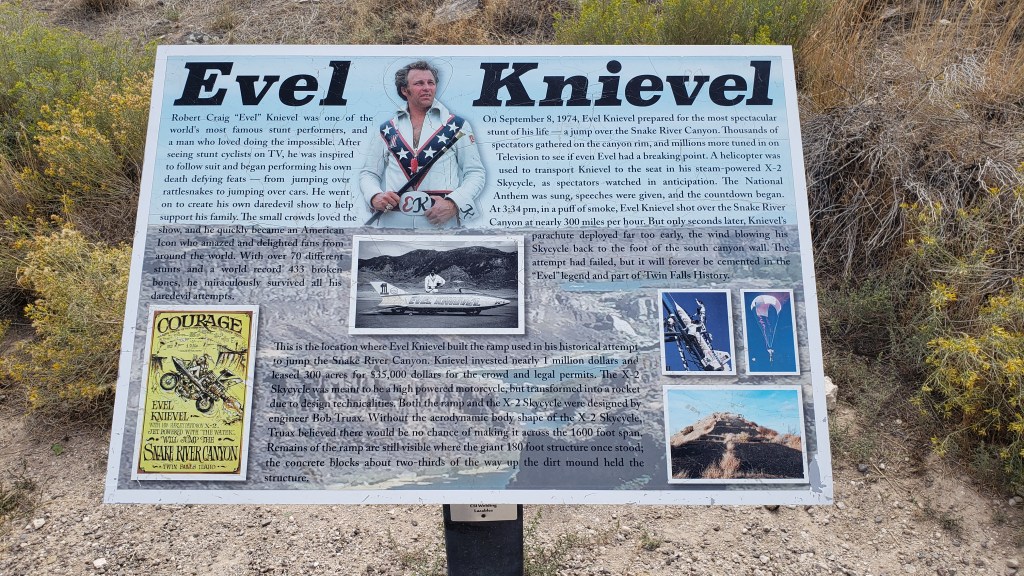
You probably can’t see this photo large enough to read the panel, but somehow we only took a few photos of the site, so this will have to do.

The dirt ramp he used for a jump over the Snake River Canyon in his X-2 Skycycle steam-powered rocket is still there. He didn’t make it from one side to the other, of course, and, as we stood at the top of the jump, we were pretty sure he never really intended to make it.
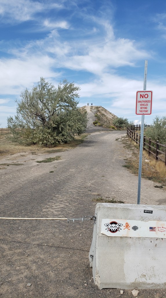
That hill in the background is the ramp.

He blamed it on his parachute opening right after take-off. We blamed it on the fact that no one with an ounce of knowledge about physics could ever think that ramp was going to be enough to launch him one-quarter mile across the canyon. But never mind; it was an epic stunt, and we were delighted to discover our visit was exactly 49 years, to the day, since that fateful jump which, although he survived it, proved to be his last.
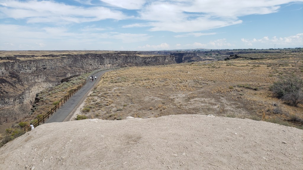
View from the top of the ramp, looking over the right side. The gorge is that dark part, with a walking path to its right.

Shoshone Falls was our final stop of the day. Dubbed the “Niagara of the West,” the 212-foot-tall, 900-foot-wide, horseshoe-shaped falls are the largest natural falls in North American (yes, bigger than Niagara). They caught the attention of travelers along the Oregon Trail, and are still a tourist attraction today.

How it started.
Photo from Wikipedia

How it’s going.
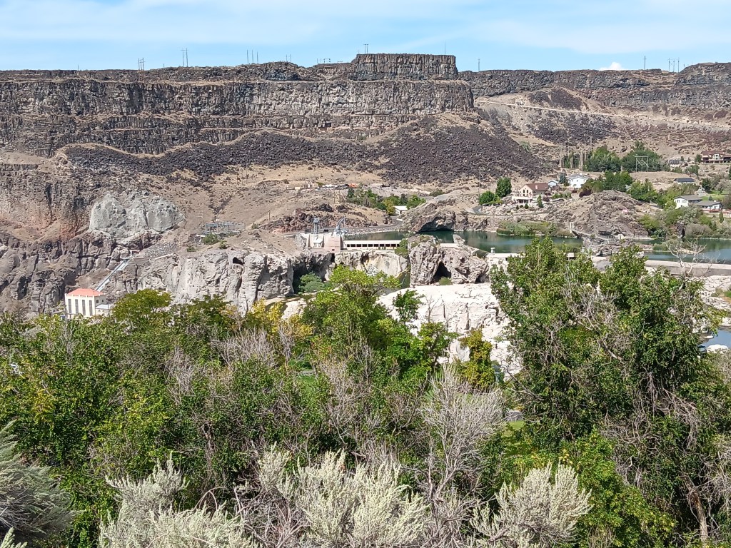
The falls should be flowing over those two white rocky areas immediately below the long, horizontal white building in the center of the photo.

Unfortunately, due to a dry summer, the water level was too low for the falls to flow, so we skipped the drive down into the park, looked at the bare rock from above, and rewarded our day with a cold beer, shrimp tacos, and a hearty salad on our way back to the campground, before leaving Idaho and returning to Utah for its grand National Parks the next day.
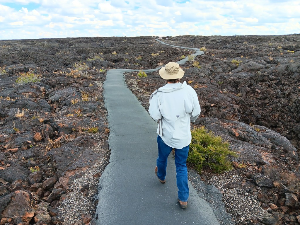
Walking On The Craters Of The Moon


Technically, Idaho wasn’t a new state for us. We’d flown in to Idaho Falls several years ago, and made the 108-mile drive to Yellowstone in Wyoming. But, clearly, we were new to Idaho, as evidenced by the Sheriff in Richfield who caught sight of our Florida license plate and “escorted” us out of town.

Our suspicious nature wasn’t helped by Susan taking random photos of weird road signs while the Sheriff was behind us, or Simon making an extremely abrupt turn onto a lonely back road, having nearly missed our GPS’s warning that the turn was coming up. Richfield’s Finest responded by following us all the way to his county’s border to see us off.

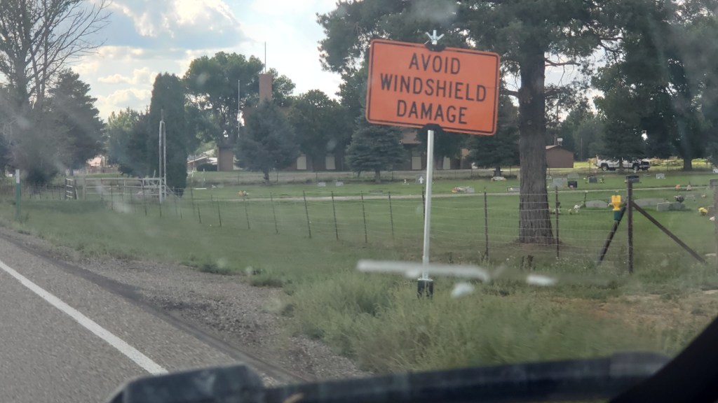
We don’t have a photo of the Sheriff, because we’re not crazy, but we did wonder about this sign. HOW do we avoid windshield damage, and damage from what? Pedestrians? Squirrels? What? Isn’t this something every driver wants to avoid from the moment they purchase their car?

The several-mile drama unfolded after our visit to Craters of the Moon National Monument and Preserve, the reason we were in Idaho in the first place. If you’ve been following along, you know we made a change to our original itinerary, and because of that our time in Idaho was in doubt. But both of us were eager to see the otherworldly park, so we booked a week in the area after our time near Salt Lake City, which opened up the opportunity to also see City of Rocks National Reserve, Shoshone Falls, and massive piles of the vegetable for which the state is famous.

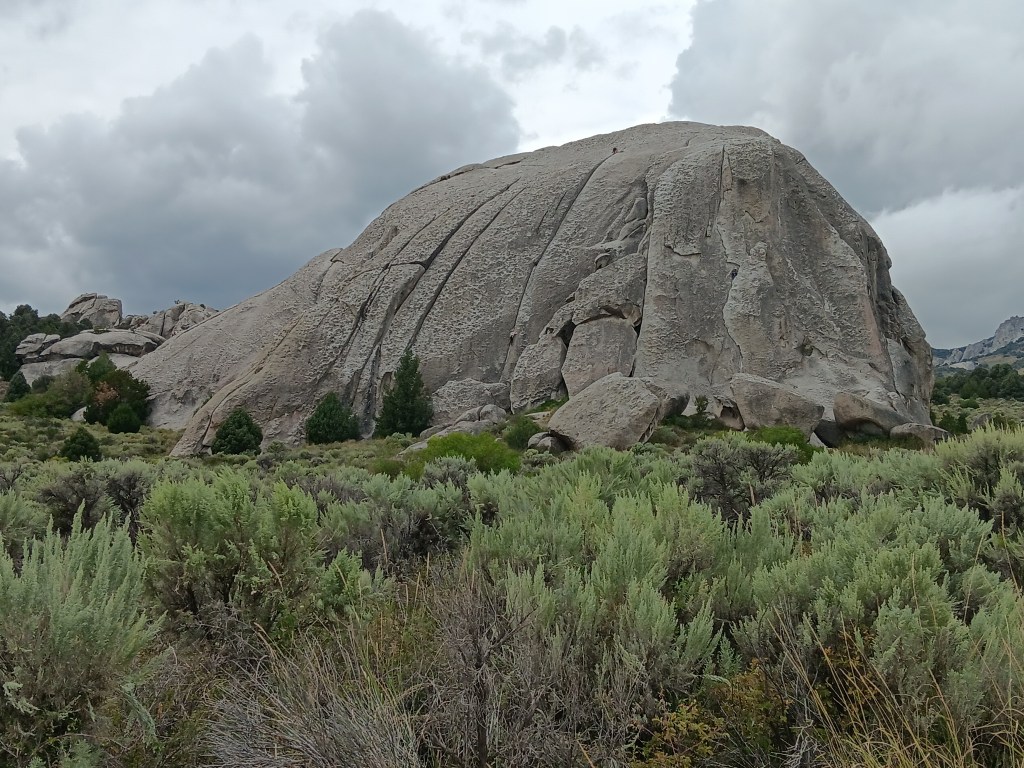
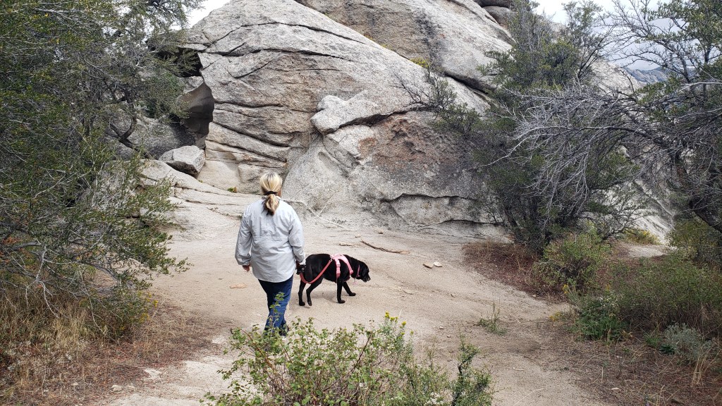
City of Rocks is a world-class playground for rock climbers, but its history includes emigrants passing through on the California Trail from 1843-1882 and, prior to that, use by native peoples. Its oldest rocks date back 2.5 billion years.

Really old rocks.

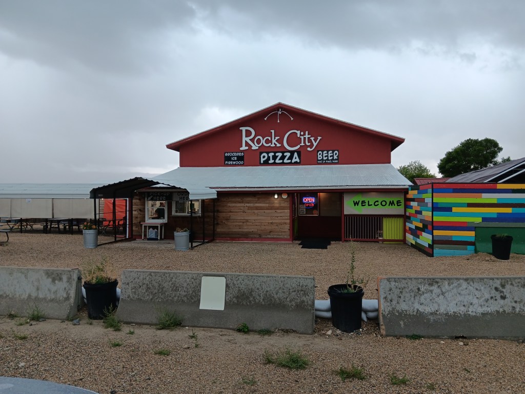
We were there for the scenery, though we didn’t know what to expect. A stop at the Visitor Center resulted in two useful suggestions from ranger Robb: Don’t take little Nippy on the rough road beyond the Bath Rock formation, and stop at Rock City for the best pizza you’ll ever eat and the only craft beers for a hundred miles.

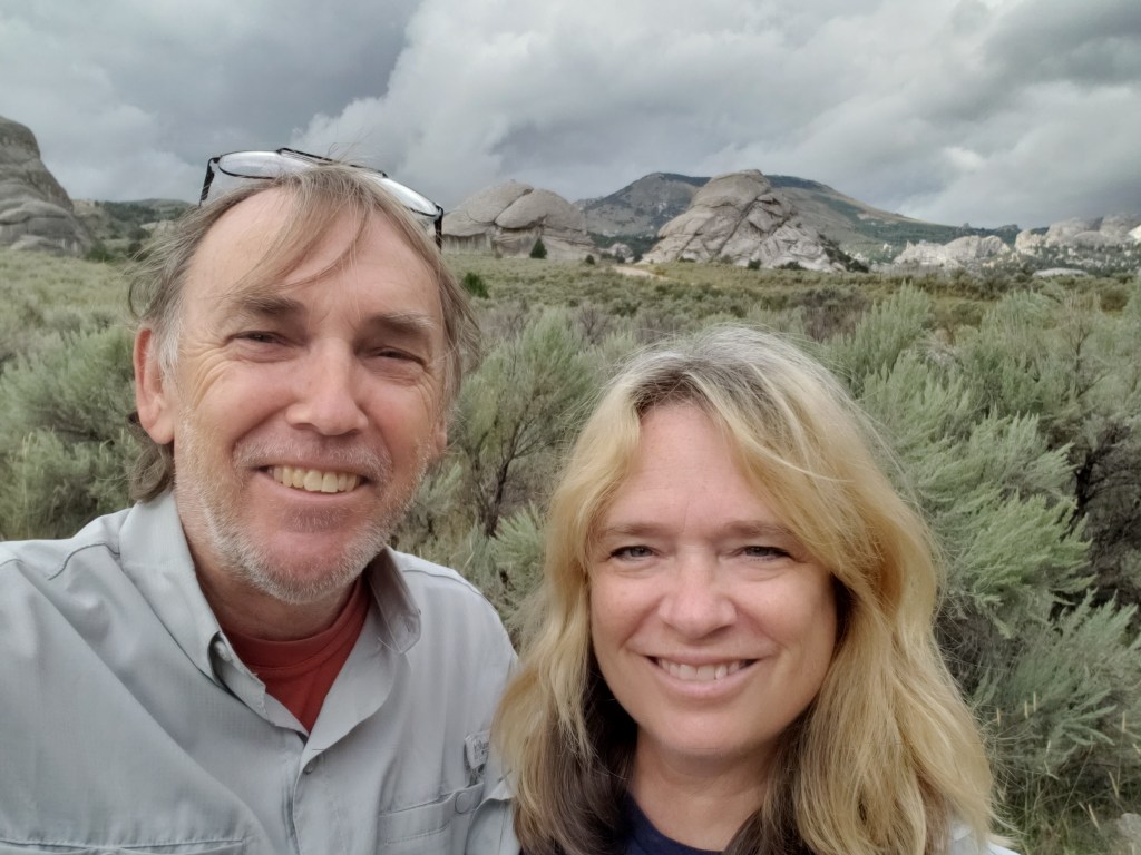
Obligatory selfie!

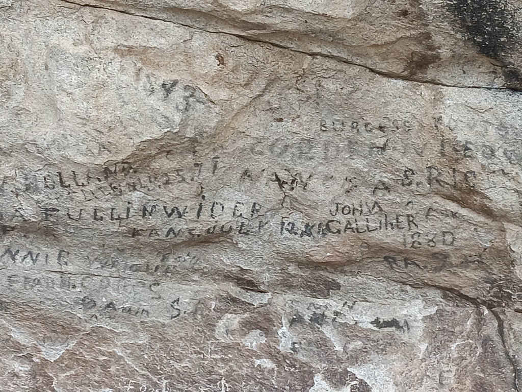
The park is entirely dog-friendly, with a handful of dramatic geological features, starting with Camp Rock (a.k.a. Register Rock). There, we found signatures and dates from emigrants who passed by, pausing to leave their names and sometimes a short message, written in axle grease.


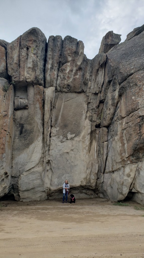
The rocks here are not small; this one was the smallest.

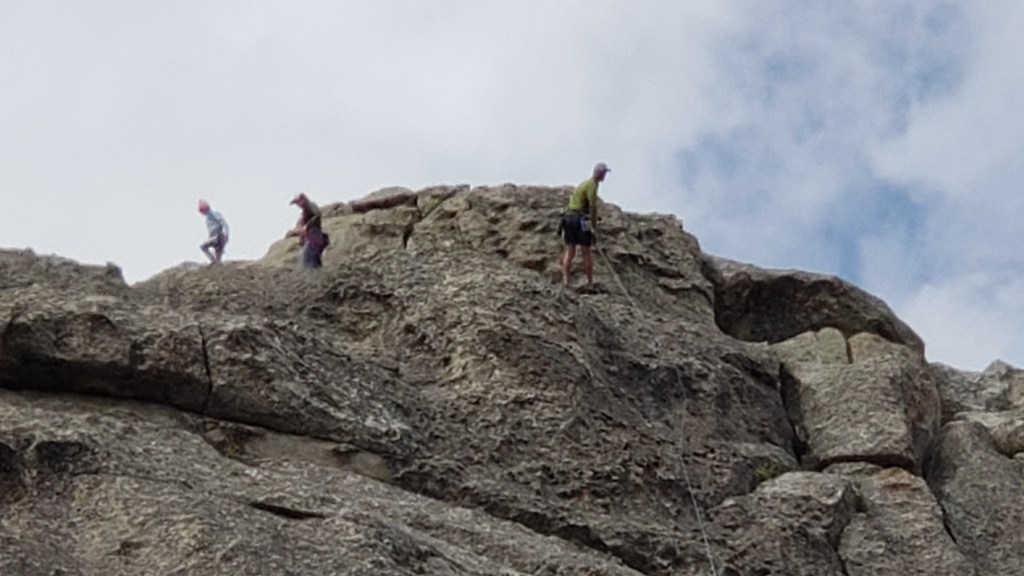
Next along the byway was Elephant Rock, and we were told it was a great place to see climbers. Sure enough, there were several making their way up (and down) the rock face.

The “trunk” of the elephant is on the left, but you can’t see it in this photo.

Look carefully and you’ll see a climber just above the horizontal boulder on the ground (the third one to the left of the boulder in the foreground), and another climber near the top of the fissure the lower climber is scaling.

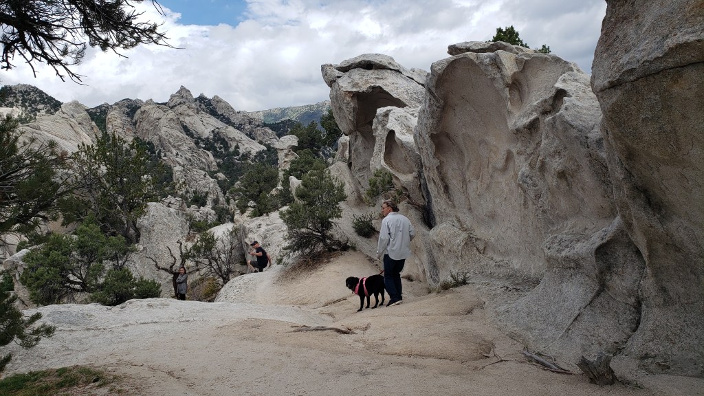
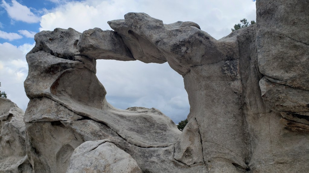
The trail to Window Arch, just beyond Elephant Rock, was only 250-feet long, but included some of the most dramatic views.


As with most photos, you can’t get the scale of this place.


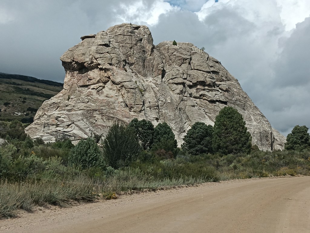
We ended at Bath Rock, a spiritual place, Robb at the Visitor Center told us, where his grandmother used to take him and his sister when their parents were traveling, and she’d “bathe” in the positive energy to remove the negative energy she was covered in. Energy which, his sister told him, was all his fault.

Bath Rock. Bathe in its healing powers!


Bath Rock was active with climbers, but a storm was brewing in the distance, so we enjoyed their activities for a while, took a little stroll along the trail, then headed out of the park for an al fresco pizza lunch.

People who are braver than us.

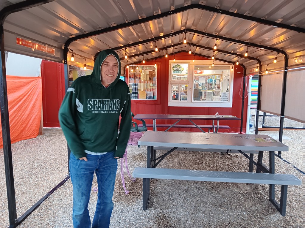
The storm had other plans. It hammered down rain, sending bolts of lightning perilously close to the gravel we were standing on, directly under a metal roof.


It was really cold, too.

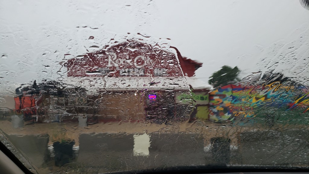
We high-tailed it to the car, watching water pool alarmingly around the store and its picnic area, which added credibility to the Flash Flood warning we’d heard the store employees mention while we waited for our pie to bake.

Our view.

City of Rocks made a terrific afternoon out, in spite of the rain, and we were even more excited for our trip to Craters of the Moon two days later.

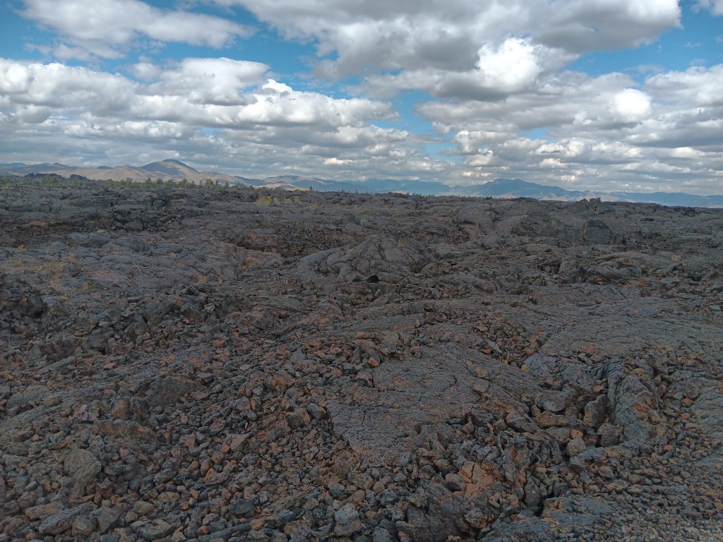
Our $20 America the Beautiful Senior Pass got us into the park for free (we’ll just add here that we’ve literally saved hundreds of dollars using this wonderful National Parks pass), and we marveled at the seemingly endless lava fields and features that were formed when molten lava oozed through cracks in the earth compliments of the 50-mile fissure known as the Great Rift.

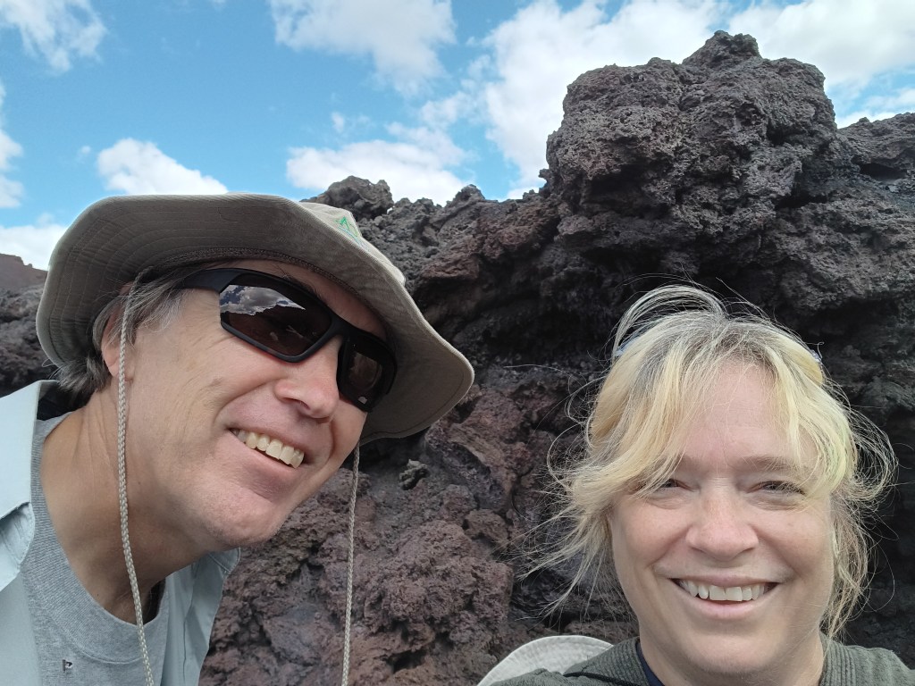
Who are these people, and why are they always laughing?

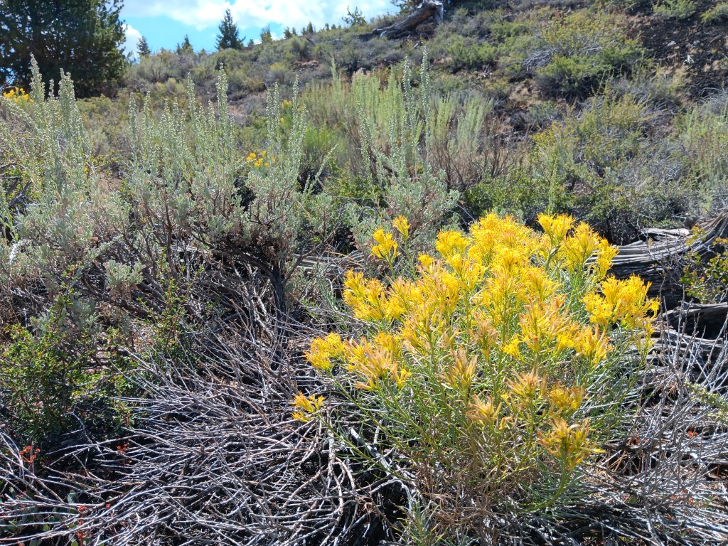
Our first stop along the seven-mile scenic loop was a hike up the powdery Devil’s Orchard cinder cone, a gentle start to our visit, punctuated by a surprising variety of flora.

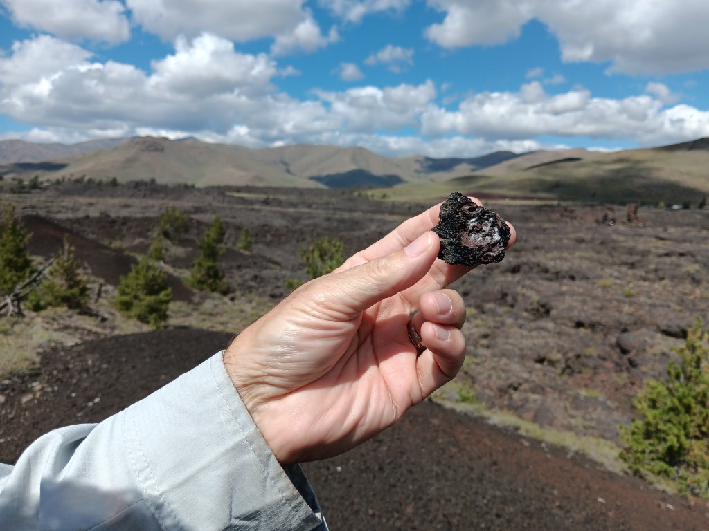
The volcanic rock here was feather-light.


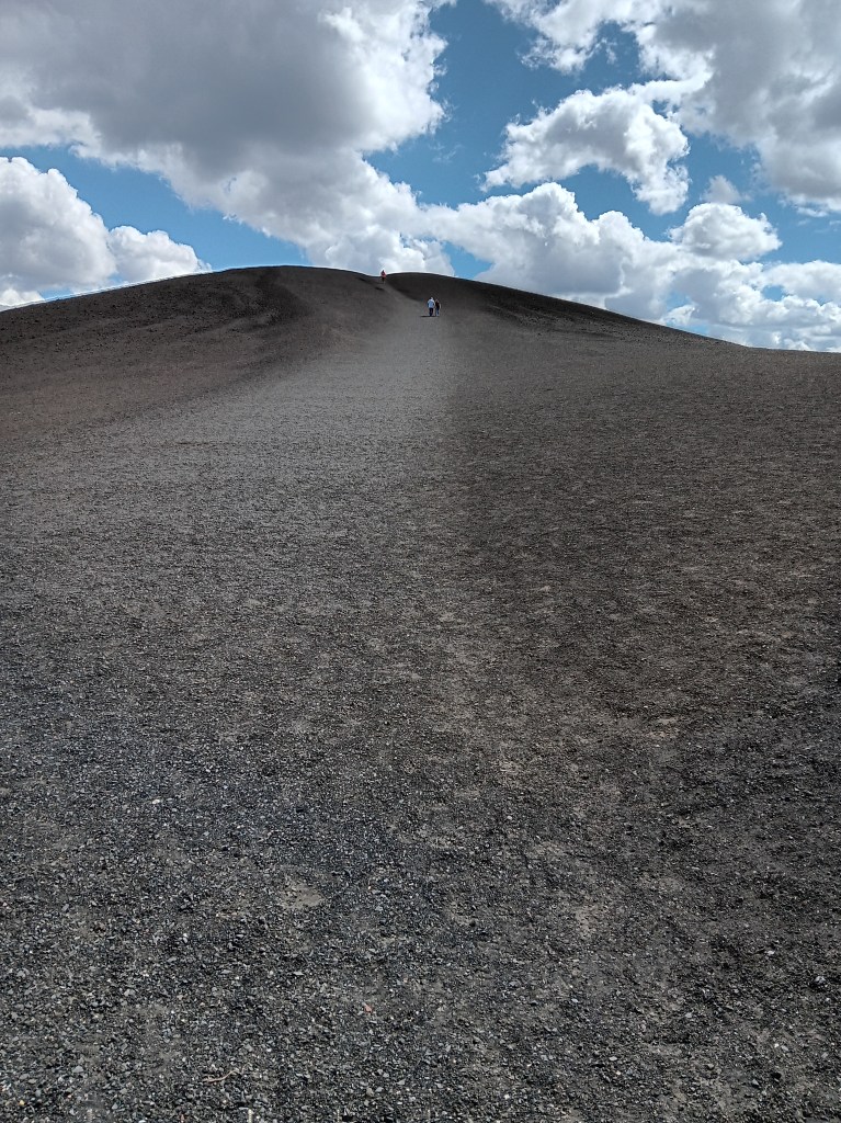
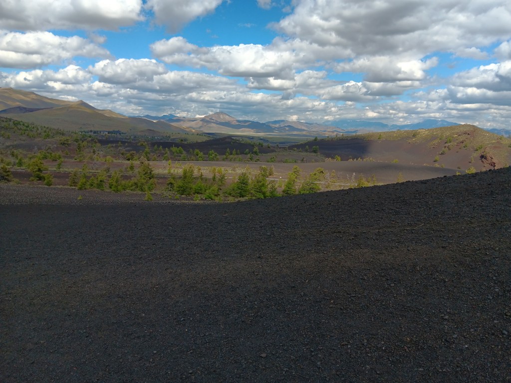
Inferno Cone was much higher, with a well-worn, crunchy path to the top of not one, but three rises with magnificent views over the valleys and to the mountain ranges beyond.

You can just make out the people climbing the hill.


The view from one of the rises. It’s way, way down.

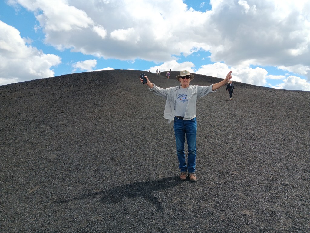
Guess who made it up to the third rise? Him!

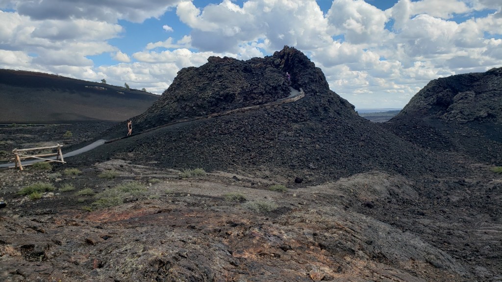
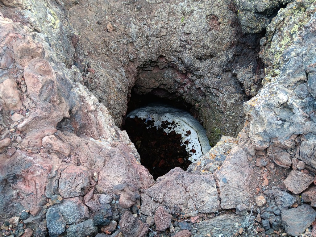
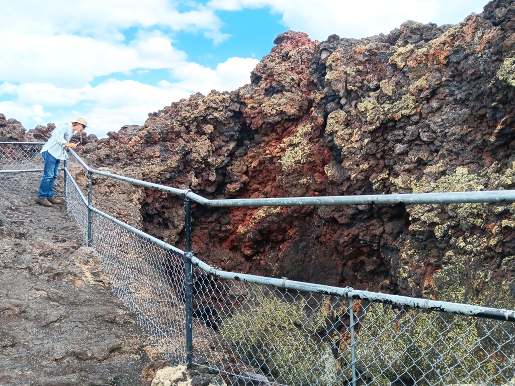
It felt fabulous to be out walking, and we were loving the interactive nature of the features. A second short hike of just a few hundred feet saw us looking into two Spatter Cones, the first of which still had ice at the bottom.

You can see the pathway leading up to the part of this splatter cone where you can look down into it.

That white stuff is ice. The second splatter cone had three or four hats in it.


We took all the side roads off the main loop, and had several WPM (Wows Per Minute) passing miles and miles of lava fields and curious “cinder gardens.”


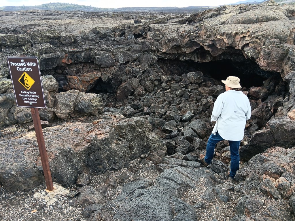
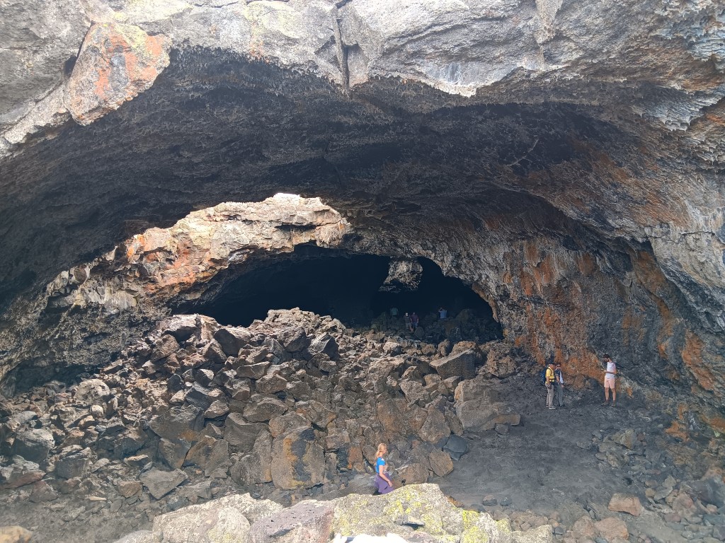
But our absolute favorite WPM was the Caves Area, where visitors could descend into some of the caves that formed when lava tubes collapsed.


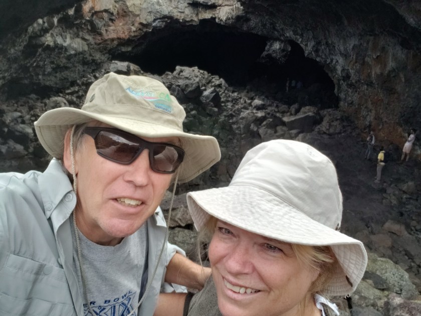
Precarious perch for a selfie inside the cave!

Sheriff of Richfield being the slightly humorous (if also slightly unnerving) exception, it had been a fantastic, unforgettable day. Our return trip to Village of Trees RV Park had one more surprise in store.
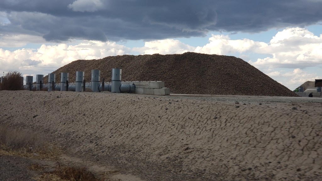
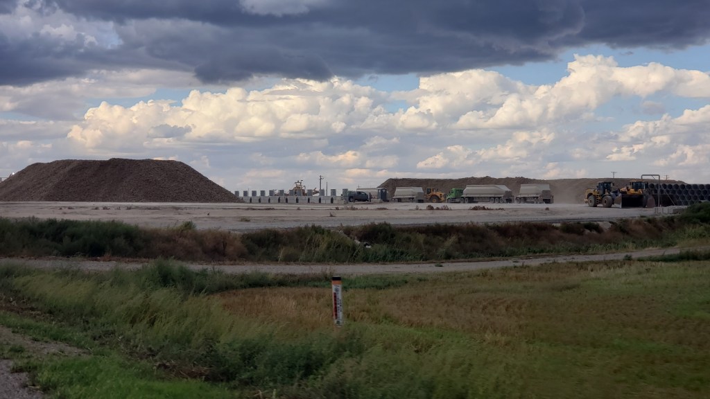
We’d been unreasonably excited by all the trucks we’d seen carrying Idaho potatoes from one place to another, but we didn’t expect the absolute thrill of two massive mounds of potatoes getting ready for transit. We shouted and pointed and laughed out loud at the piles and our incredible luck!

Those piles aren’t wood or sand or dirt. They’re potatoes! YAY!

One more potato photo.

Okay, last one, I promise!

We know that’s sad and maybe even worrisome, but we’re proud of our little quirks, and of our ability to find joy in the small stuff.

It may have been windy.

What We Learned During Our Fourth Month On The Road


Today marks four months since we locked the door to our house in Florida and set off for a year-long adventure in an RV. Here’s what we learned during the past month:

When you’re the passenger doing 62 m.p.h. down the highway and a spider appears next to your open window’s screen, don’t try to hit it with a flyswatter. It’s only going to swing back at you and drop down into your bra.

It’s astonishing how fast you can rip your shirt and bra off on the highway while doing 62 m.p.h.

You can’t watch TV while Wallydocking (parking for the night in a Walmart parking lot) because you don’t have any electrical hookups or internet, but with all those “fascinating” people doing “fascinating” things, you’ve got hours’ worth of entertainment. Dive deep into the voyeuristic madness!

Even if the weather forecast calls for 0% rain for an entire year, the sky is bright blue, and there are no clouds within a hundred miles, the answer to “Should we close the windows” when you leave the rig is always “Yes.” Do not even bend this rule.

If you opt for a tow vehicle that’s great for city driving and gets fabulous gas milage (like, say, our little Ford Fiesta, Nippy), there will be a moment during your travels when you’ll stop wondering why everyone pays a sh1t-ton of money for a four-wheel or all-wheel drive. Bone-jarring dirt roads that lead to all the really cool scenery will be the reason you’ll say, “Oh, NOW I get it.”

Your tank sensors may have been honest with you at one point, but once they start lying about how much they contain, you’ll stand in front of them every day and say things like, “What the hell are you talking about? I just emptied you, and I know you’re not half-full after one flush!” You know they’re lying, they know they’re lying, but you won’t be able to resist telling them they’re lying.

You know exactly how long you have before your black tank needs emptying, even when the sensor lies to you.

Half of your time cooking in your rig is spent moving things from one place to another. Bowl goes here, move plate, rearrange bowl when pan comes out, put food there, now move it here, shift the dish towel, move food again, trip over the dog, move plate twelve inches…and on and on and on.

There are times when your big fears will be right in your face. You can decide to face them by shouting things like, “I deny this reality!” and “You have no power over me, demon [insert fear here]!” to cope with the situation. It’s also okay to say “No, I’m not doing that,” and you need no other excuse.

We suspect we’re not alone in having two places we always bash on something. Like, every single day. For Simon, it’s his head and feet. For Susan, it’s her shoulder blades and shins. We do not know why this is so, but we do undeniably know it is so.
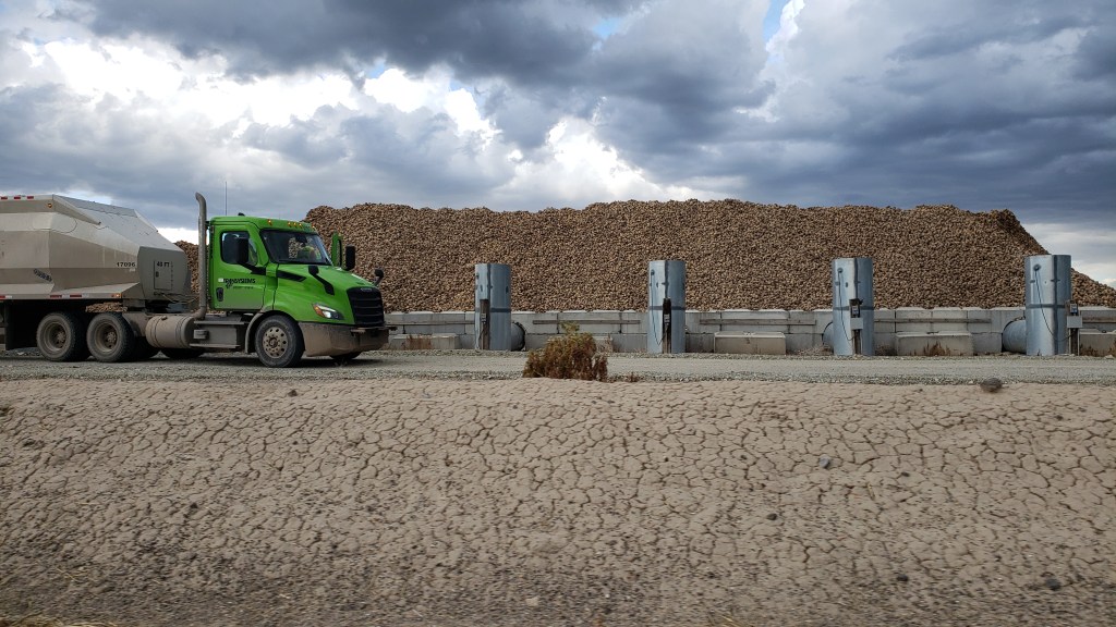
By now we’re feeling pretty comfortable driving our 11-ton rig, even though we’ll never feel completely comfortable. It’s an awesome responsibility, and, most of the time, a genuine pleasure. Except on crappy roads. That always sucks.

Drive the car and stay in a hotel if that’s the only way you can reach a fabulous place accessed by roads your rig or your nerves shouldn’t be subjected to.

When you’ve spent just over a month with nothing breaking or needing replacement, you don’t even dare mention it, but you also feel the full exhilaration of this lifestyle and you cannot believe how lucky you are to be able to participate in it.

Pushing The Pause Button In The Beehive State


Utah is known as the “beehive state,” honoring that industrious bug’s reputation as a hard worker, and its state of mind unexpectedly became our state of mind, too, with a project that had us tied to our 36-foot home for several days. We took a breather from touring in Nippy, with a few breaks that saw us “hiking” in a mountain canyon and braving a gawd-awful stench to reach an island surrounded by a lake that’s nine times saltier than the ocean.


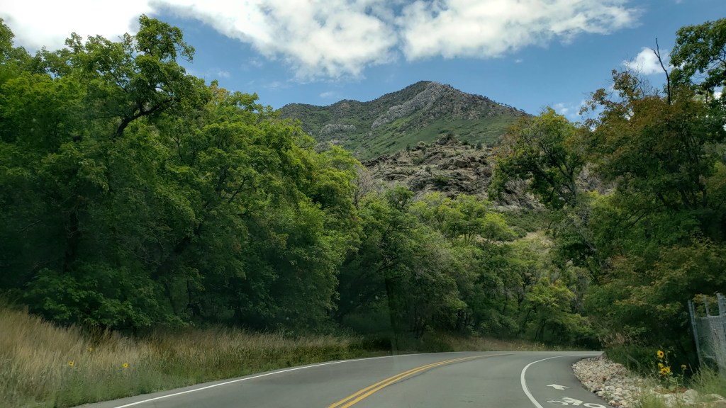
Layton, Utah, our base for eight days, was having a heat wave. Fati’s innards reached a temperature high enough to be uncomfortable in mid-afternoon, so we headed Nippy toward Salt Lake City for a drive up Millcreek Canyon in the Wasatch Mountains, the only canyon that allows dogs, we were told by the Visitor Center.

It was a scenic canyon, if somewhat unremarkable, unfortunately overshadowed by the immensity of the canyons we’d already toured in Montana and Wyoming, but the scent of pine trees and the cooler temperatures made it a perfect outing for a couple of hours.


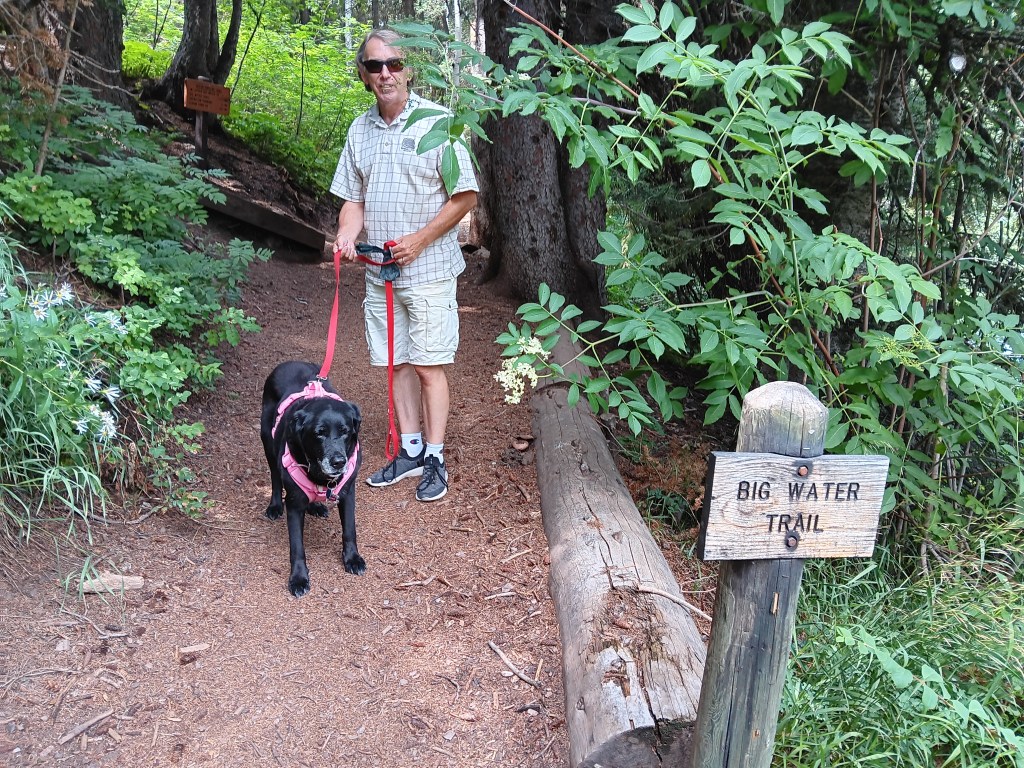
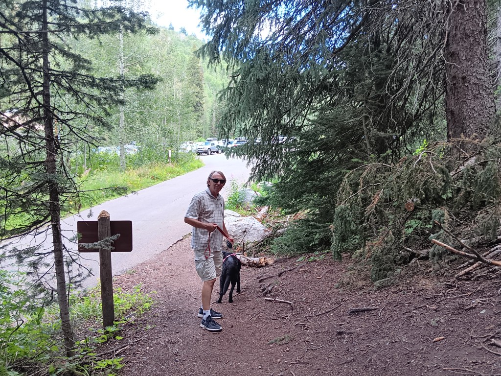
We stopped for a short hike near the top of the mountain, mainly to stretch our legs a bit. And short it was. We saw the sign indicating Big Water Trail (elevation 7,900 feet), which seemed to be just about right for Ruthie; a mile is pretty much her limit.


We started off, loving the sound of crunching pine needles under our feet.


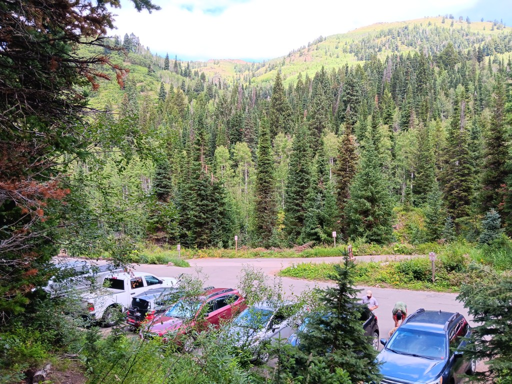
Within a few steps, the trees opened to reveal the parking lot where we’d just left Nippy, and the mountainside beyond.


Three minutes later we reached the end of the trail. What the…….!


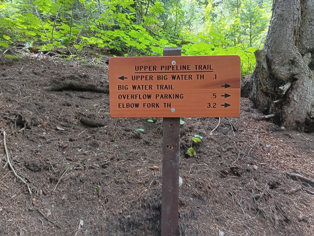
Shortest hike in the history of hikes, and we should have noticed the sign indicated 1/10 of a mile, not 1 mile. But we’d been prepared to walk the full mile, so it still counts as healthy exercise, right?

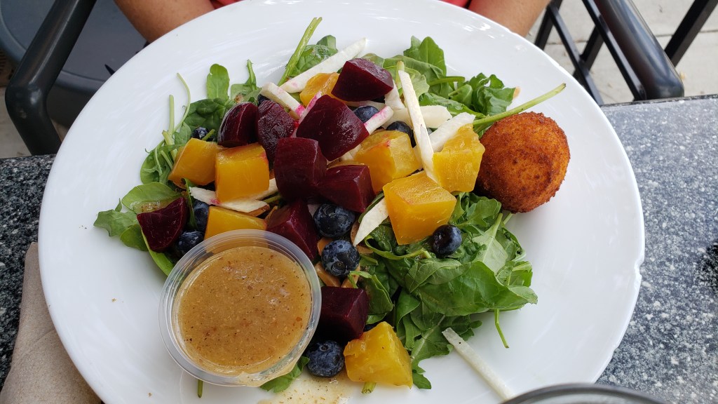
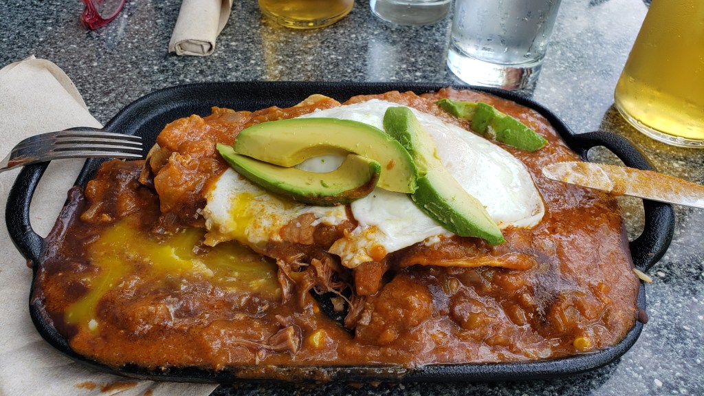
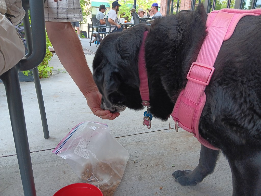
We toasted our athleticism with a visit to Wasatch Brew Pub, where Susan had the Superfood Beet Salad and Simon had the Huevos Rancheros, an unholy assemblage of pork chili, refried beans, queso fresco, lemon crema, and corn tortillas, with two eggs and fiesta rice. Ruthie had dog food.


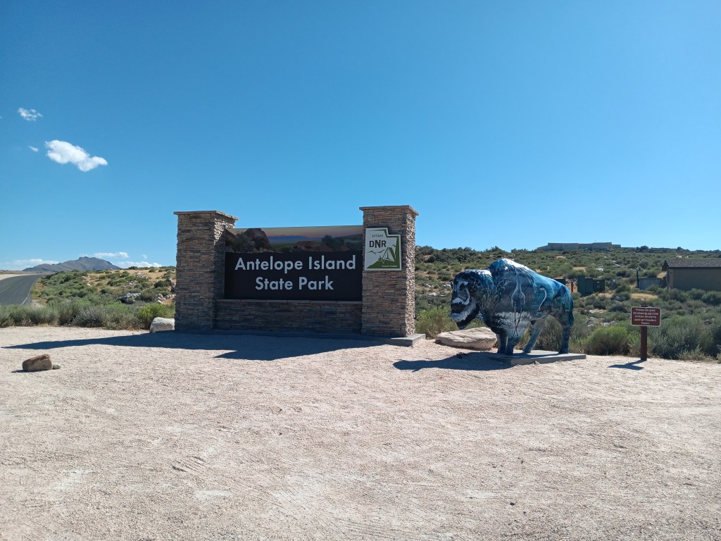
Another afternoon outing saw us taking the long Davis County Causeway out to Antelope Island State Park, situated in the Farmington Bay arm of the Great Salt Lake.


It was close enough to Layton for us to still have Nippy’s windows rolled up and the A/C on High when we arrived, but we soon had them rolled down, enjoying the small breeze wafting across the salt flats, where a billion birds were going about their daily bird stuff.

Click on photo for video

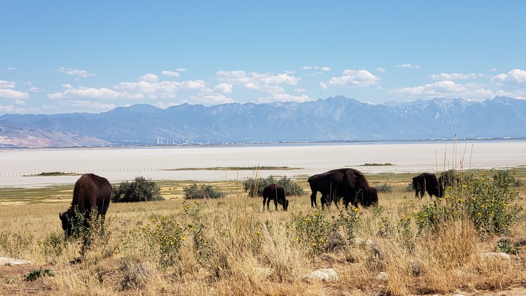
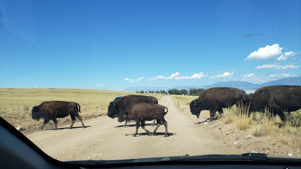
Although the island (really a peninsula) was (wrongly) named for its antelope (pronghorn) population, bison are the dominant mammal now, due to their importation thanks to a conservation effort, after wild horses, thousands of sheep, the Church of the Latter Day Saint’s grazing cattle, and a plague of grasshoppers ate up all the foliage.


It was fascinating looking out over the Great Salt Lake, marveling at how low the water was and how many migratory birds were filling up on brine flies and other bugs. It was no wonder the area was (or, at least, used to be) a sought-after birding spot.

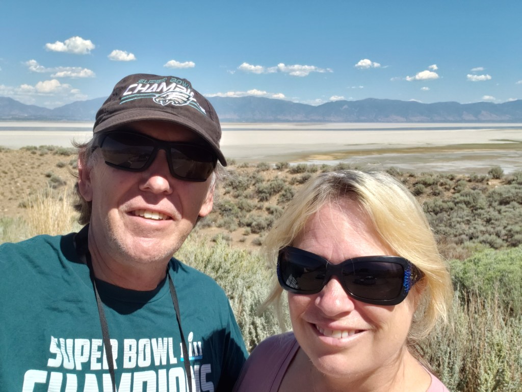
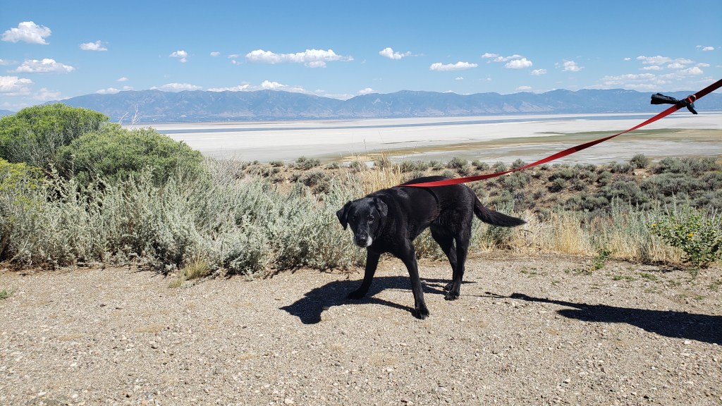
This isn’t birds or bugs. This is us, with the mostly-dried-up Great Salt Lake behind us.

Before we left the island, Simon wanted to “have a paddle” in the water (for our U.S. readers, that’s “go in up to your ankles” in U.K.-speak), so we drank some water, gave Ruthie some water, felt the sand to be sure it wasn’t hot, and agreed we’d turn around if we thought it would be too much for our sweet old dog.


The water was much further away than it appeared from the parking lot, and it really was just too hot to be out in the sun for long, so about 2 minutes into it, we turned around and went back to the car.

Ruthie, pre-beach-walk, weighing up her options if she’s forced to hike on the sand.

It was then that Ruthie had a full-blown attack, flailing around the back seat, dropping to her belly, trying to jump back up but falling down again, and shaking her legs as if in agony. It looked like she was having some kind of seizure, and we were afraid her brain had fried from the heat.

We quickly felt her fur to see how hot it was, checked her paws for burns, looked between her toes to see if anything was lodged there, and reassured her again and again that she’d be okay and we were there for her. Then, we rushed her over to a hose at the nearby shower station and doused her with cold water in an attempt to cool her down quickly and save her life.

Once the sand was washed off her paws, she bounced around like a joyful puppy, skipping and smiling all the way back to the car. We gave each other looks that showed we both realized the diva side of her personality had come out, and she just didn’t like the sand on her feet.

Ruthie with a fancy hose-water hairdo.

As we crossed the causeway again, this time with our windows rolled down, the most nasal-nauseating smell wafted into poor Nippy. Like the seal-covered rocks we boated around in Chilean Patagonia, those billions of birds stank to high heaven, and we cried out in horror at the assault on our senses.


Ruthie’s dramatic spasms and the bird stink notwithstanding, it had been a fabulous afternoon, and a good way to say goodbye to Utah for a week while we explored what southern Idaho had to offer.

How We Live Comfortably In A 36-Foot Space


We’re used to living and working together 24/7, but being in a tiny space all the time isn’t the same as being in a house with several rooms. So how do we live, work, and organize a space that compresses down to a single aisle with just a bedroom, bathroom, and living area? Here’s how.

Admittedly, our 36-foot Class A motorhome is massive compared to some rigs (the smallest one we’ve seen being literally just a mattress on the inside and a tiny covered shelf with a sink on the outside), but it’s not all that big compared to the really big rigs.

We were so blissfully ignorant at the start of this journey!

Naturally, with space at such a premium, we have to be incredibly organized. Our living area breaks down to the “basement,” the cab, the galley, the bathroom/shower, and the bedroom. Everything has a place, and everything has to be in its place or we’d have total chaos. Let’s take a tour, starting with the basement.

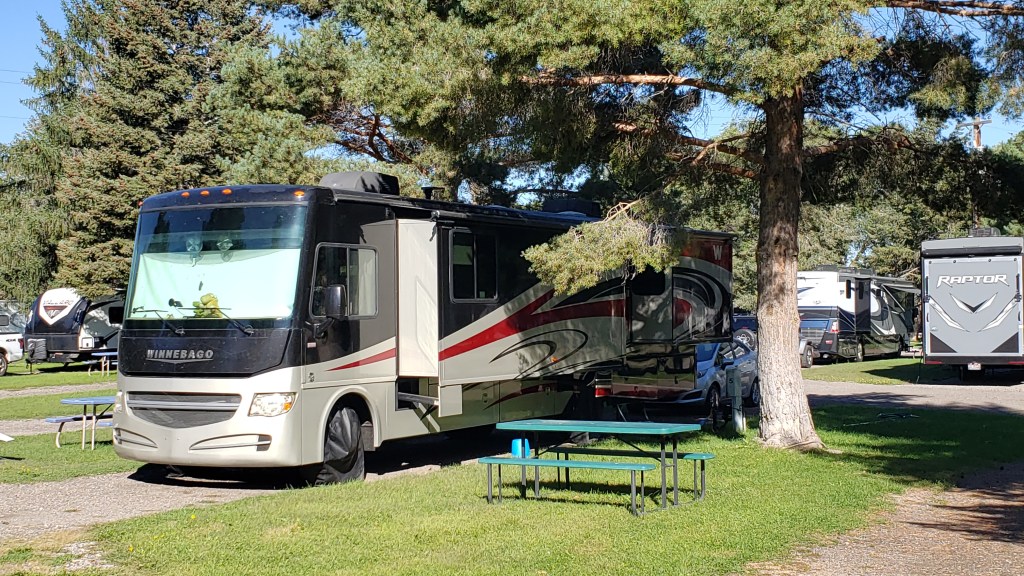
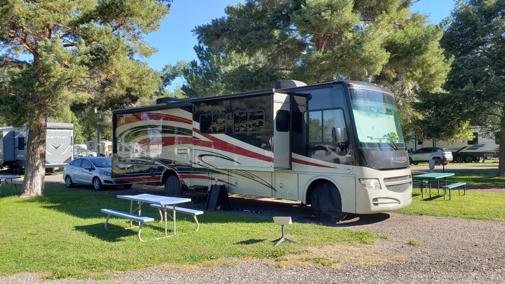
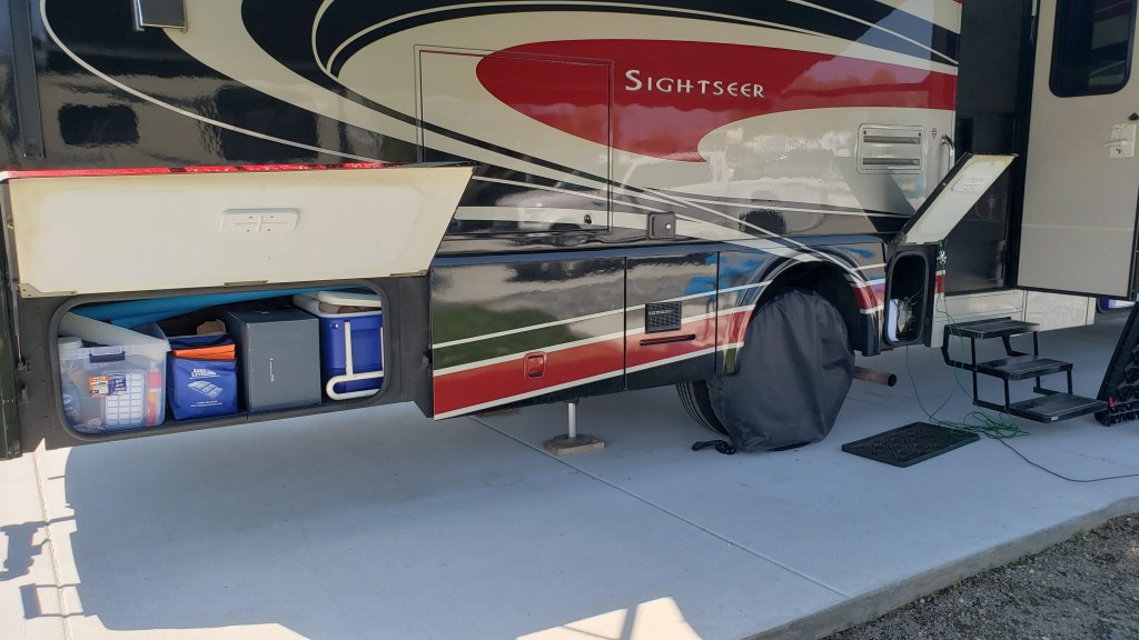
The long squares at the bottom of the rig are the “basement” (bays). They’re on both sides of the rig. The bumped-out part is a slide-out, and there are two more slide-outs on the other side. The square, white thing on a stand on the grass is our Starlink internet, and the folded-up black thing under the bay is Ruthie’s ramp to get in the rig. You can’t see the rig’s tires because they have tire covers on them to help avoid aging and cracking from the sun.

Along with opposing slide-outs that make our galley/living room seem like a ballroom, one of the features of our Winnebago Sightseer that really attracted us to it was the storage space under the rig. As we’ve traveled, each “bay” became organized according to a specific use.

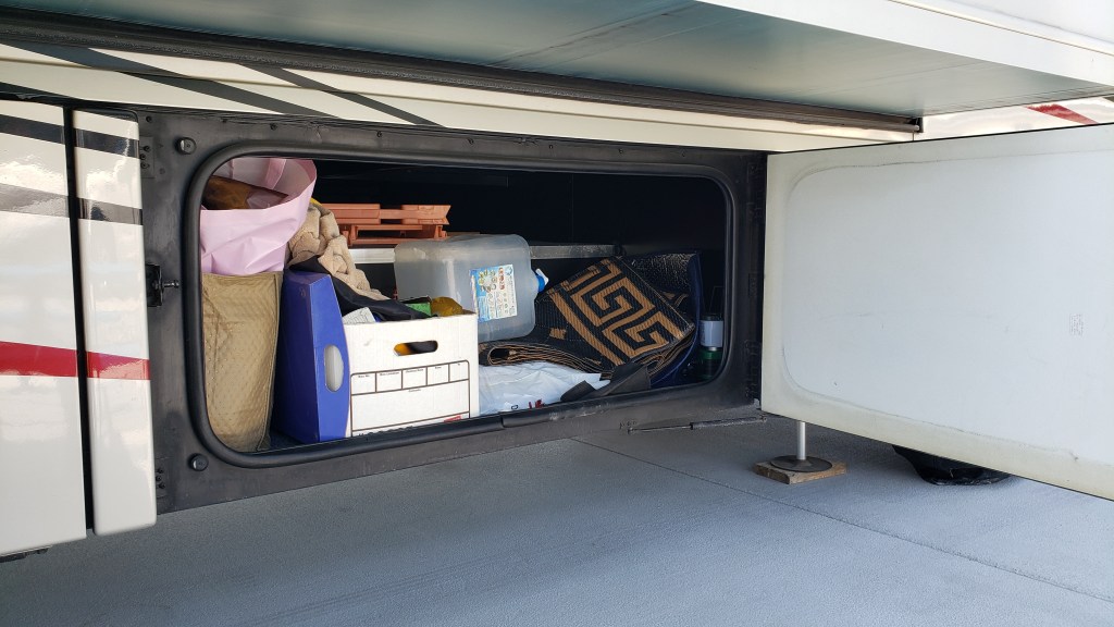
First, we have a bay filled with the stuff we use in a campground. Ruthie’s ramp and tie-outs (plus anything of hers we store) goes in it, along with our outdoor mat, shoe mat, chairs, folding tables, tire covers, and miscellaneous stuff. A small bay to the right of this one has two boxes with mechanical stuff that helps power our electricity.

The shelf with the peach-colored fold-up tables goes all the way through to the bay on the other side, giving us lots of extra storage space. Two of our bays have this feature. The white cube you see here is for extra water when we boondock (camp with no water or electric hookups).

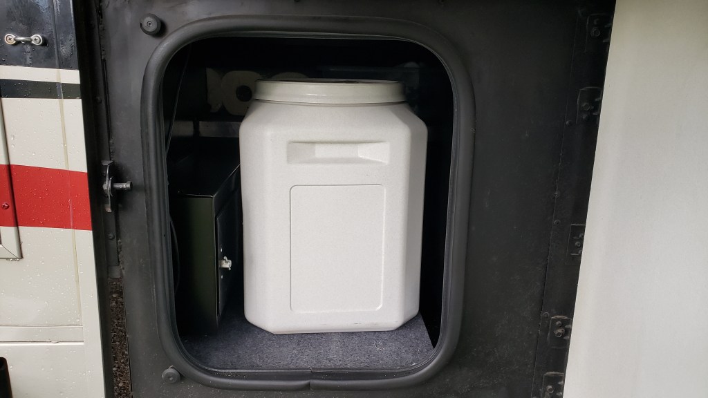
The second bay holds Ruthie’s big food container, a small shelf, and some mechanics for the rig. We fill a smaller container from this one, which we keep inside the rig so we don’t have to open the big one twice a day.


Next is a small bay with our inverter, some extra rolls of paper towel (which we use a LOT, including to wipe the dishes before we wash them so the least amount of fat or food goes into our gray tank and causes smells), and the router for our Starlink internet system.


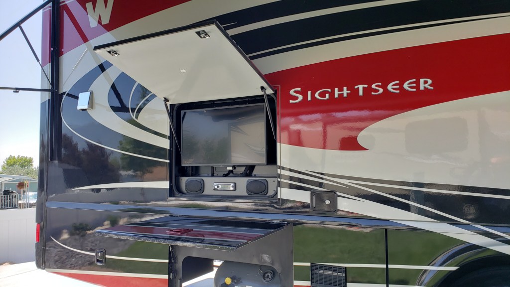
The propane tank has its own bay. Above the propane tank and end bay is our outdoor entertainment system (TV and radio). We’ve used it exactly twice so far, since we’re generally out touring or inside working.

And finally, the rear bay on this side has our emergency stuff (cones and LED flares in case of a breakdown, plus a foam fire retardant), jack pads, pool noodles that go on the slide-out edges to save our noggins when the inevitable bumps happen, the box we store Starlink in, and “extras” of things like toilet paper, tissue, soap, and such.


On the other side of the rig we have a bay with our fresh water hose, plus extras items such as shampoo, first aid stuff, laundry detergent and other necessities that need replacing fairly often, plus our broom and Swiffer.

The shelf with the two yellow bags holding our outdoor folding chairs is a shelf that “passes through” from the other side.

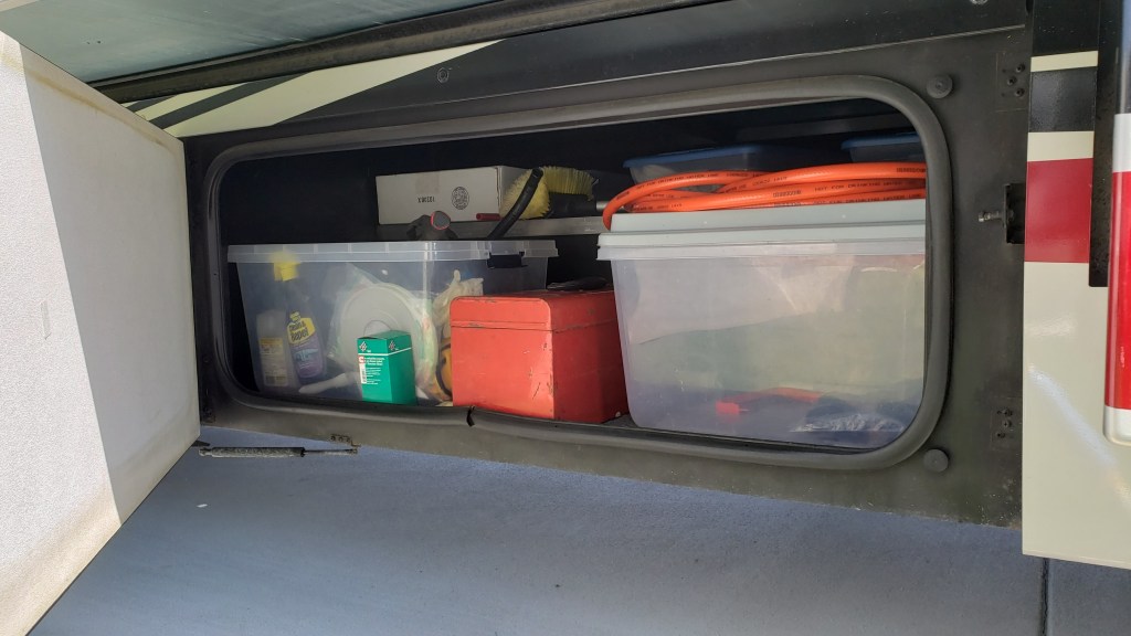
Then comes the icky bay, which holds cleaning and maintenance supplies, a tool box, our sewer hose, and the black tank flushing hose.

Hoses are “color coded.” Orange means “yuck water!” and white, blue, or green mean “fresh water!”

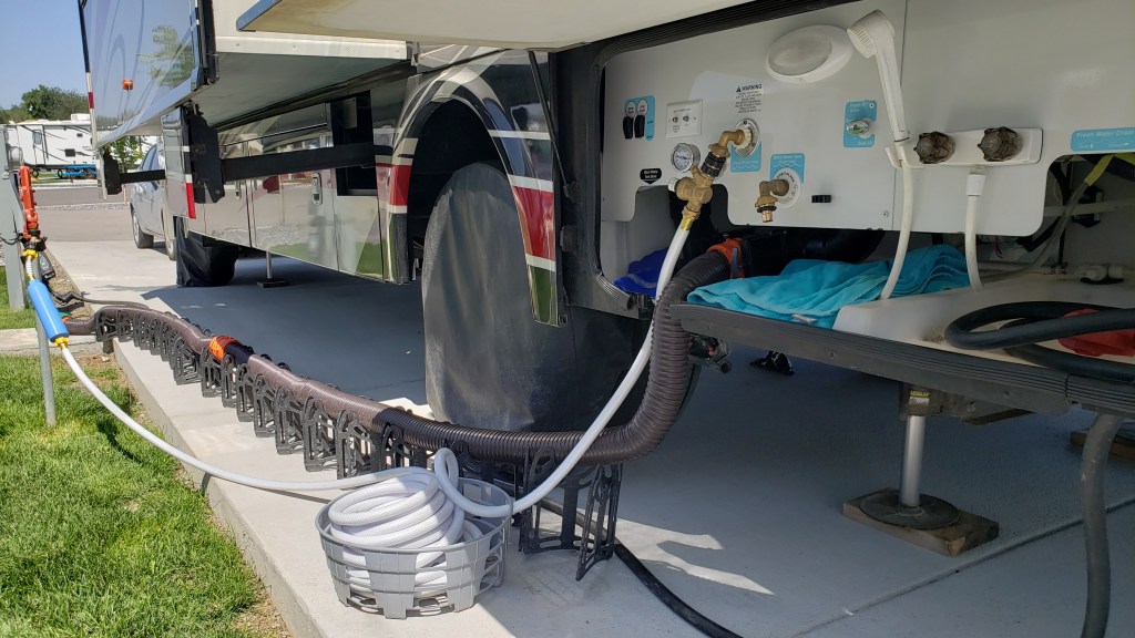
The “wet bay” is where all our electric/water/sewer hookups are located, and the place where the black tank and gray tank dump from. We also have an “outdoor shower,” (really just a hose with a shower head) which we have yet to use. A good place for washing muddy boots and stinky dogs, probably.

This shows our fresh-water hose with filter and our sewer hooked up, and the black cord in the bottom right of the photo is our 50-amp power cord. The metal things on wooden block are our jacks, which help keep the rig level and steady (sort of).

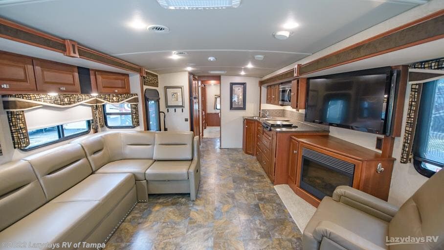
Heading inside, the door leads to the galley. This is our main living space and our kitchen.

Back when it as all so clean and new!

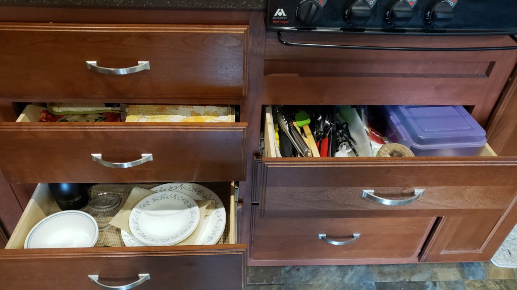
Dishes, pots and pans, dish cloths and towels, silverware, and cooking utensils live in the drawers, while non-perishable foods live in the cupboards. The small Instant Pot, Air Fryer, and electric kettle live on the counter, with non-slip pads under them so they don’t slide when we’re in transit.


There is a big space (relatively speaking) under the sink that holds cleaning supplies, a baking sheet, a dish-drying pad and rack, garbage can liners, our UV water filtration system, and the ever-important bottle of gin. Cutting boards hang next to it.


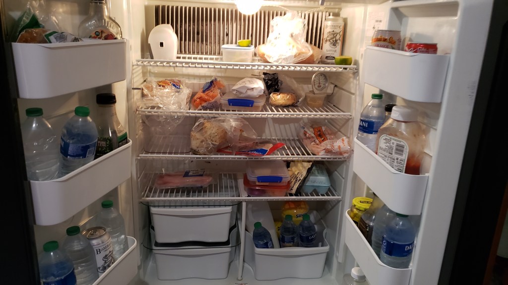
Across the aisle from the sink is the refrigerator and freezer, with our carbon monoxide detector below it.

We’re getting close to moving to a new location, so the fridge mainly has water, bread, and cheese in it as we use things up! That little white box on the upper shelf is a mini fan that keeps the fridge marginally cooler while we’re in transit.

To the right of the kitchen is the living space. Our U-shaped couch (which folds down to make a queen-sized bed) and a drop-leaf table serve as our dining area and our work space. The table has storage in it, which we use for the little fan we bought to help keep the air moving on hot afternoons when the A/C could use a little help.

Work space with a view!

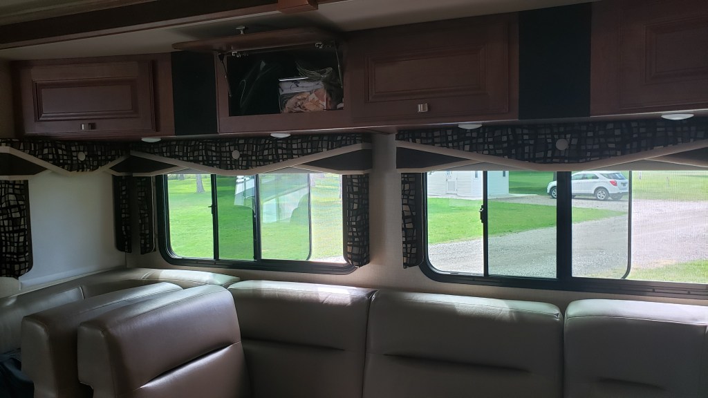
Above the sofa is storage space for games we play when we’re dry camping (no water, electric, or sewer hookups) and don’t have TV reception; table cloths, placemats, and paper plates for dry camping; Ruthie’s medications; and RV books, plus miscellaneous small tools and other items, such as markers and face masks.

Normally this area is well-lit, but when I took this photo we were packing up to move. The two sofa backs on the left side live here when they’re not in use, and the two “arms” of the sofa they normally live on fold into the sofa so the slide can go in.

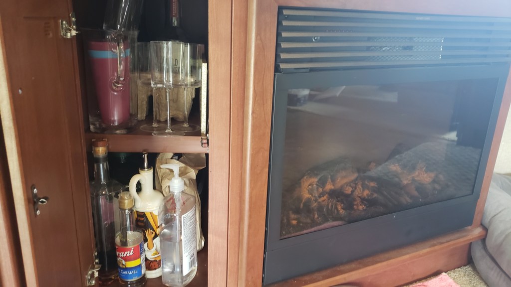
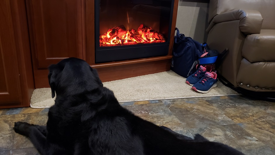
A fireplace under the TV warms this space beautifully on cool mornings and evenings. We’ve used it far more than we thought we might. The cupboard to the left of the fireplace is our “bar,” with wine, wine glasses, whatever Simon is drinking at any given time, and some miscellaneous stuff. It sounds more exciting than it is.

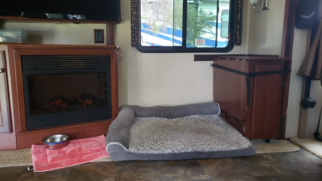
Ruthie’s bed is here, too, in a space that had a reclining chair (which we removed before we left home) and the table folds down and stores next to her while we’re in motion.


This is our fireplace in action, before we took the reclining chair out.

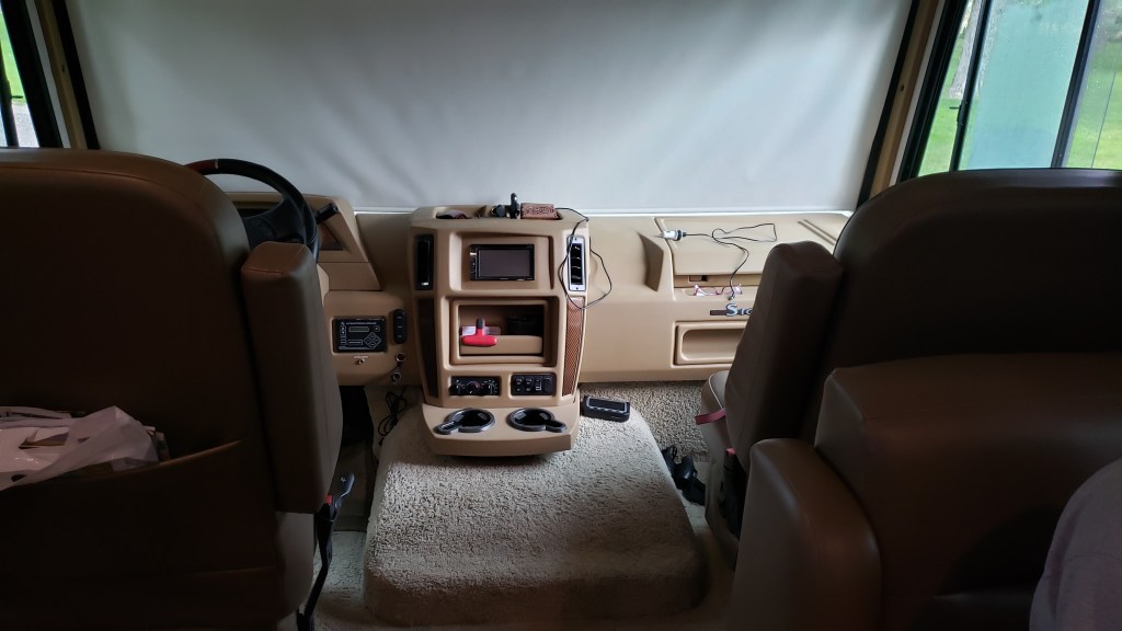
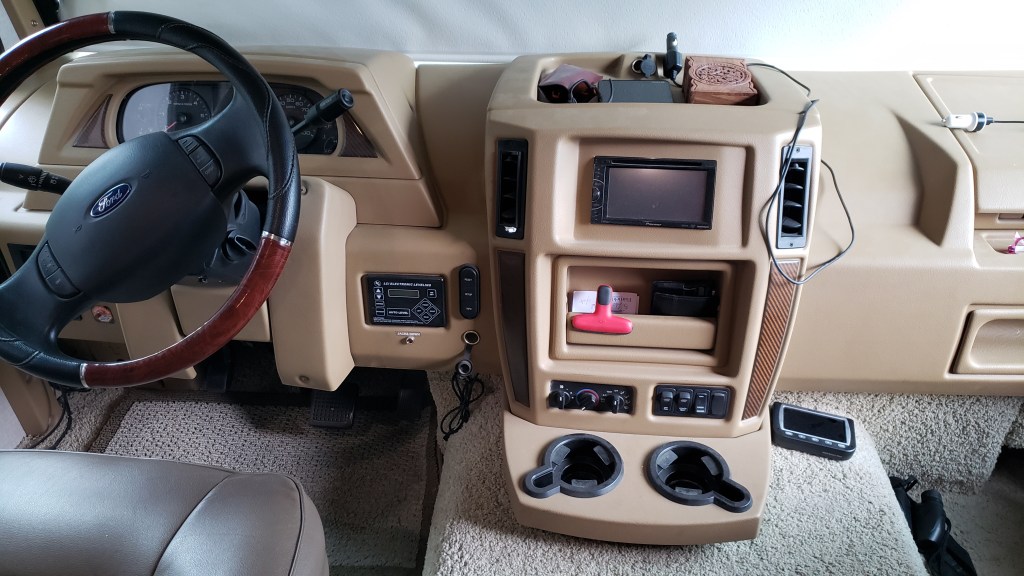
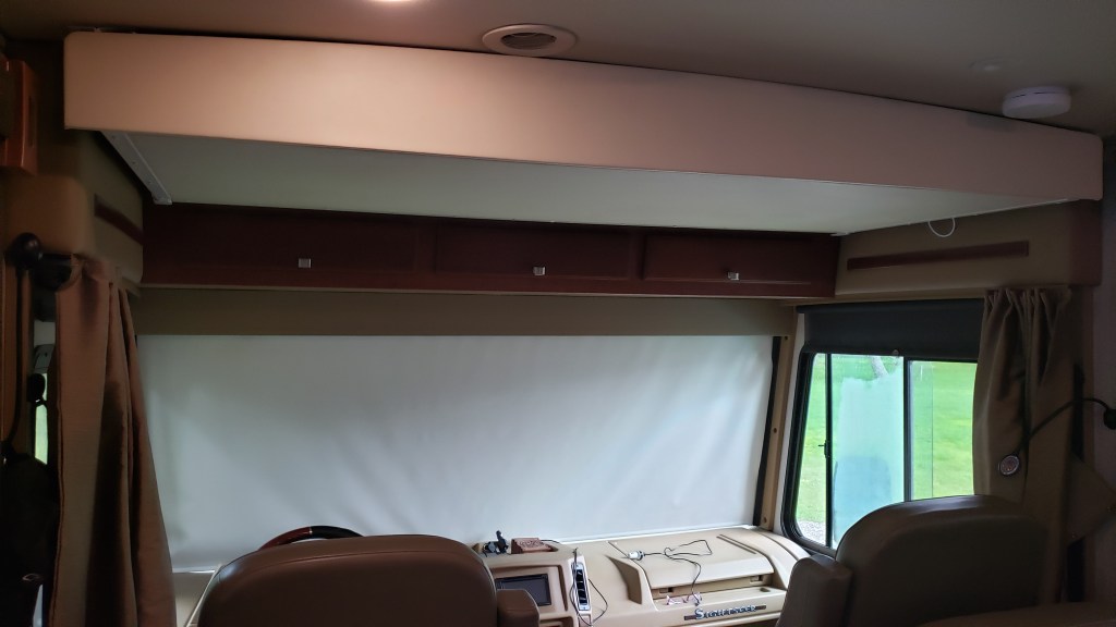
The cab is where all our technology and maps live, including an RV GPS, Tire Pressure Monitoring System, DVD player, and things like a high-beam flashlight and our high-visibility vests for roadside emergencies.

Here we have the shade down to keep the heat that radiates through the rig’s front window to a minimum.


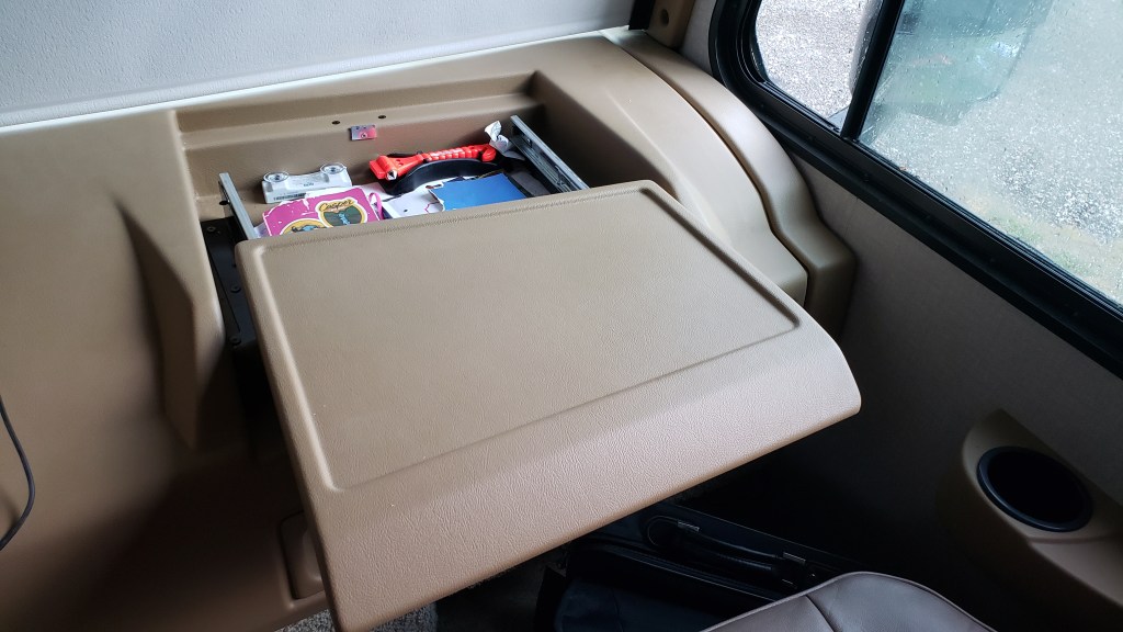
The passenger side of the cab has a space where we keep vital info such as campground membership forms, Ruthie’s vaccination records, and other things campground hosts might want to see, plus a book in which we record each campground location and details, and a book in which we record milage each time we move, the time of day we left the campground, and other boring details.


Above the cab is our “guest room,” which is really just a pull-down bed. Before we left home, we removed the thin mattress and now use that area for winter clothes and heavy bedding storage.

The thin white box above the seats is the fold-down bed. It’s bigger than it looks, but you still don’t want to be a “guest” that has to sleep on it..

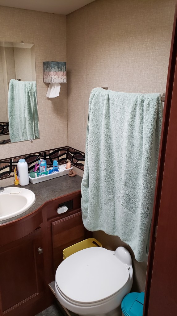
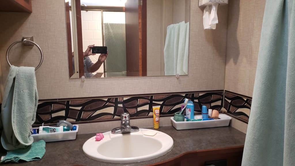
To the left of the galley is our bathroom. The shower is on the left-hand side of the aisle (and it doubles as a drying area on laundry day, when we don’t want to take the time to dry things in the washer/dryer, or heat up the bedroom with dryer mode) and on the right-hand side, behind a door, is the toilet, sink, cupboard, and drawers.

Inside the shower.

The place best not mentioned.

Long, thin containers hold our toothbrushes, toothpaste, and other daily necessities. Each of our containers lives on the countertop while we’re in camp, then they go into the cupboard above and to the left of the sink when we’re in transit. Three drawers hold things like hairbrushes, powder, first-aid stuff, and the like. Toilet paper, Happy Camper black tank treatment, and cleaning supplies live under the sink.


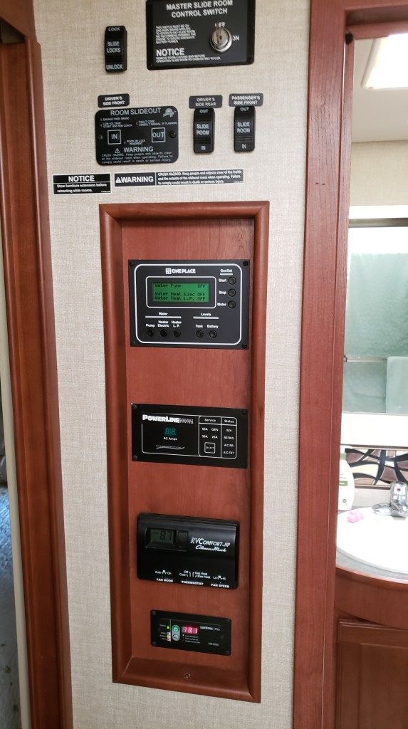
To the left of the bathroom is our “command center,” with monitors for our tanks, buttons to turn our generator and hot water heater on and off, a monitor that shows what power source we’re using (campground “shore” power, generator, or house batteries) and a monitor that shows the health of our house batteries. At the top are buttons that bring the slides in and out.


Next comes the bedroom. Our King bed is on a motorized base, so it “folds up” (to a degree) when we’re in transit and the slide-out is in, and folds down when we’re at a campground.


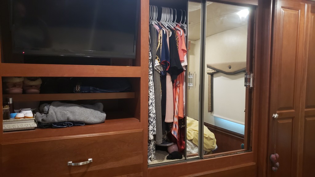
We each have drawers and half of the closet space for clothes, shoes, etc. There is an A/C in the ceiling here, too (a second A/C is in the living space).


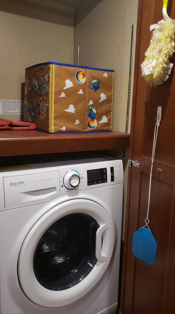
The far corner is where our combo washer/dryer lives, along with a duster, laundry soap and fabric softener, a short step-stool, and the like. We don’t make the most of this cupboard, but we probably should.


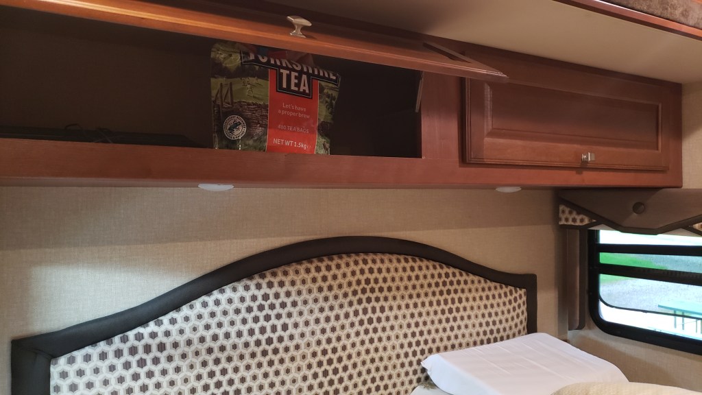
Above the bed is more storage, but at the moment it only has things like extra towels and sheets, and a massive bag of tea bags given to us by dear friends in the U.K.


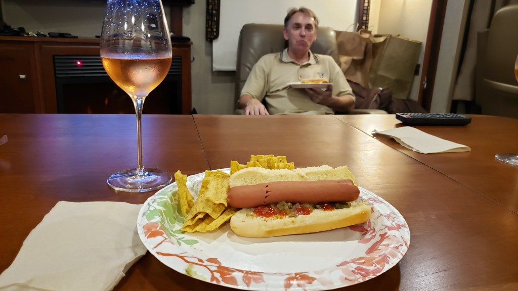
So that’s our house on wheels! And it really does feel homey when we’re settled in for the evening, watching some TV, having a drink, and eating whatever gets thrown together and called a meal.


We were very conservative when we loaded the RV, and the weigh station we stopped at in Florida showed we were 2,000 pounds under our maximum allowable weight. We like to keep it that way, for better gas milage and easier mountain driving.

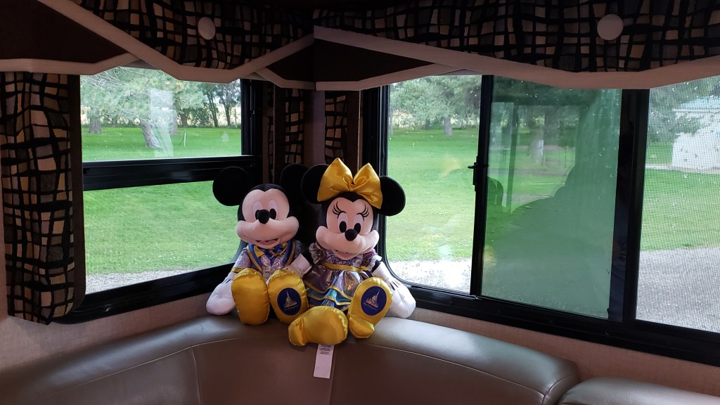
Oh…and Mickey and Minnie sit on one corner of the sofa, to remind us of home.

A Year On The Road in The Indy (Pt 2)

The second installment of our exclusive RV travel series for The Independent Travel has just been published, highlighting the second month of our ‘Year on the Road’ from Minnesota to Montana, and including the wildlife-rich Theodore Roosevelt National Park, eye-popping Badlands National Park, and extensive Custer State Park. Check it out on this link:

https://www.independent.co.uk/travel/north-america/usa/american-road-trip-usa-minnesota-montana-rv-b2398864.html

Custer State Park in South Dakota

Into The Rockies!

In the last six weeks we have dipped in and out of the Rocky Mountains in each of Montana, Wyoming, and Colorado, but we hadn’t driven through them. Until reaching Utah.

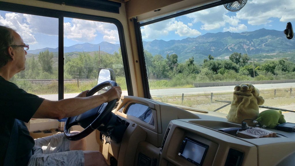
Driving west along I-80, what was initially a dark smudge on the horizon rapidly transformed into a formidable vertical barrier as the Uinta Range loomed into imposing view.

From the relatively flat southwest plain of Wyoming, the Rockies suddenly provide a formidable barrier to the west

The highest peaks of the Uintas reach 13,534ft above sea level, which is only 42nd in terms of the overall peaks in the Rockies, but Colorado has fully 39 of those, and Wyoming two, so Utah actually comes in third of all the states that feature the Rockies. More significantly, it is ninth when it comes to the prominence, or highest vertical rise, at 6,358ft.

Looking up at that 6,000-plus feet of mountain ahead of us was a sobering prospect. We were supposed to drive through there?

Thankfully, the highway into Utah was simpler than it looked and our Fati coped admirably with the winding mountain pass route from Wahsatch to Emory, where we branched northwest on the lower elevation of I-84. Still, surrounded by the massive bulk of peaks reaching almost 10,000 feet put our WPMs (Wows Per Minute) back into high gear.

This is the bulk of Thurston Peak, which reaches 9,705 feet above sea level, with a vertical rise of almost 5,000 feet. Small, it isn’t

Amazingly, I-84 dropped our overall elevation to just below 5,000 feet, meaning Thurston Peak on our immediate left towered almost 5,000 feet above us. It made us feel incredibly small.

We were heading for Layton, Utah, just north of Salt Lake City, where the spectacular Valley View RV Resort awaited us. However, it had to wait a bit longer than expected as our GPS systems (two of them) decided to play silly buggers with us, not for the first time.

Our Garmin wanted us to turn off the highway onto a road that did not exist, while our Samsung phone’s system couldn’t locate us at all. A quick call to the RV resort revealed that we needed to turn off at Antelope Drive, but we then found ourselves in a quiet residential area with our Garmin telling us the road had a six-ton limit. At fully 11 tons, Fati was potentially just a teeny bit over that limit, so we pulled over.

Someone who’s name begins with Simon tends not to handle GPS malfunctions terribly well. It usually includes lots of words beginning with F in a tirade of angry invective. For once, this didn’t reach DEFCON 1 thanks to Susan volunteering to unhitch Nippy and scope out the road ahead, which appeared to drop off the edge of a cliff.

Sure enough, she found the way in, which didn’t involve any cliff-hanging, and, communicating by phone, guided the RV safely to its intended port.

Valley View RV campground is a genuine high-caliber resort, with lots of facilities and a wonderfully modern, clean look

Our new home for the next 8 days is a slick, modern and feature-packed RV resort, with 121 berths for RVs of all types, plus facilities like a swimming pool, clubhouse with fitness center, pickleball courts, and a dog park. Food trucks visit periodically to provide a handy dinner option while the clubhouse also offers complimentary coffee, just like a hotel (much to Simon’s liking). To one side, we have a view of the Uintas; to another it is the Great Salt Lake and Antelope Island.

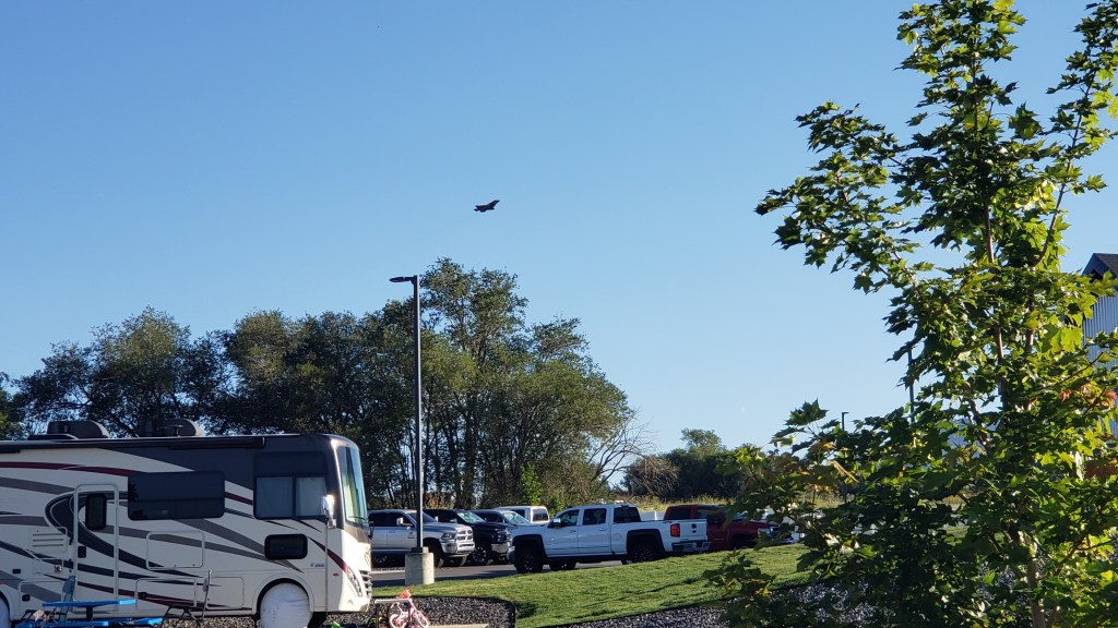
Oh, and we are half a mile from Hill Air Force Base. Who fly F-18s. Every weekday. From 8 a.m. So, there’s that….

Our 8 a.m. alarm call, courtesy of the US Air Force

Next, we’re off to see Salt Lake City, more of the Uintas, and Antelope Island. We have a truly excellent base to explore from and the views of the mountains are truly spectacular. This is yet another scenic wonder in what has been a string of them since we hit Upper Michigan back in June, and we are eager for more.

Antelope Island lies to our west, full of intrigue and scenic promise. This is another epic location…and we’ll take you there soon!

The Flamin’ Gorgeous Flaming Gorge


We had two days left in Wyoming before heading into a brand-new state for Simon, and we were determined to end our time in the state of never-ending surprises on a high note. Little did we know how high we’d get!

Not THAT kind of high; this isn’t Colorado. But our final day’s trip did end with a long, long, drive at nearly 10,000 feet, with plenty of steep drop-offs, long ascents and descents, roads slick from the rain, and not a guardrail in sight.

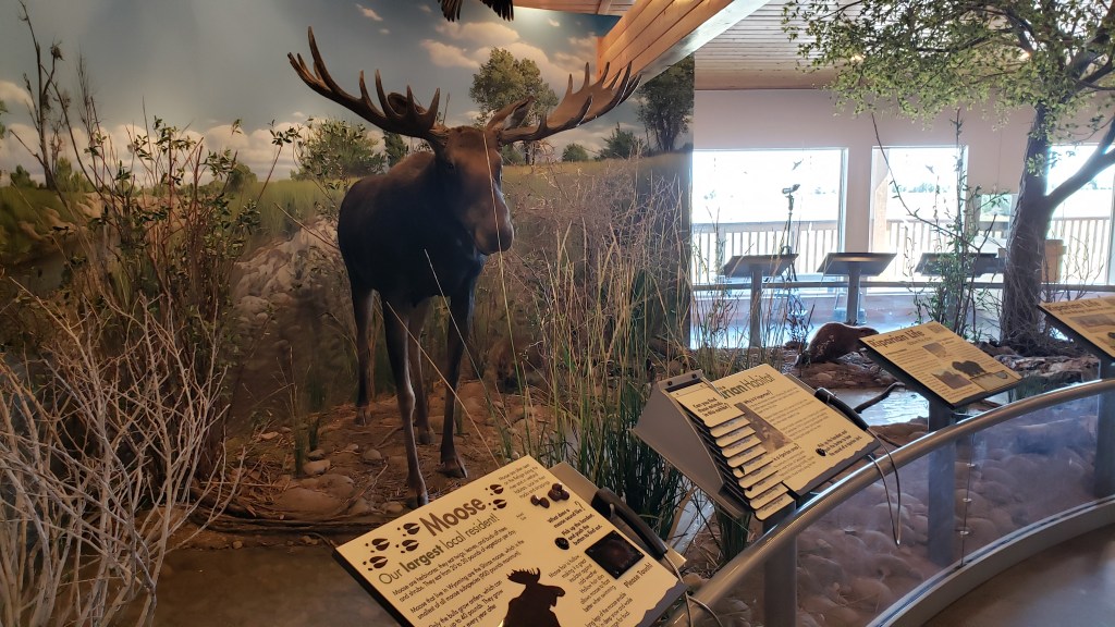
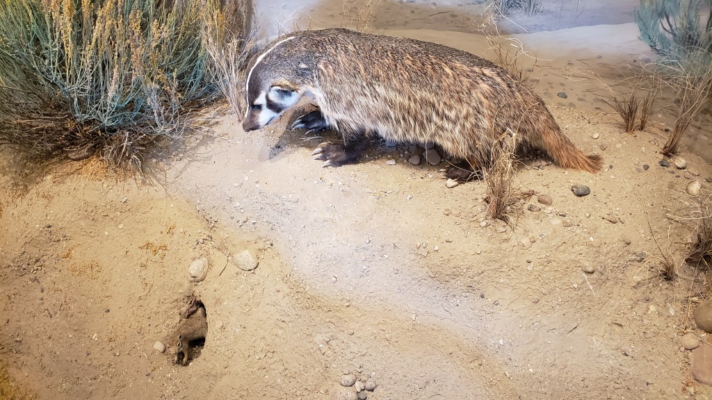
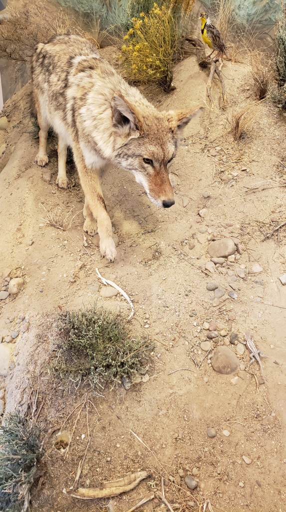
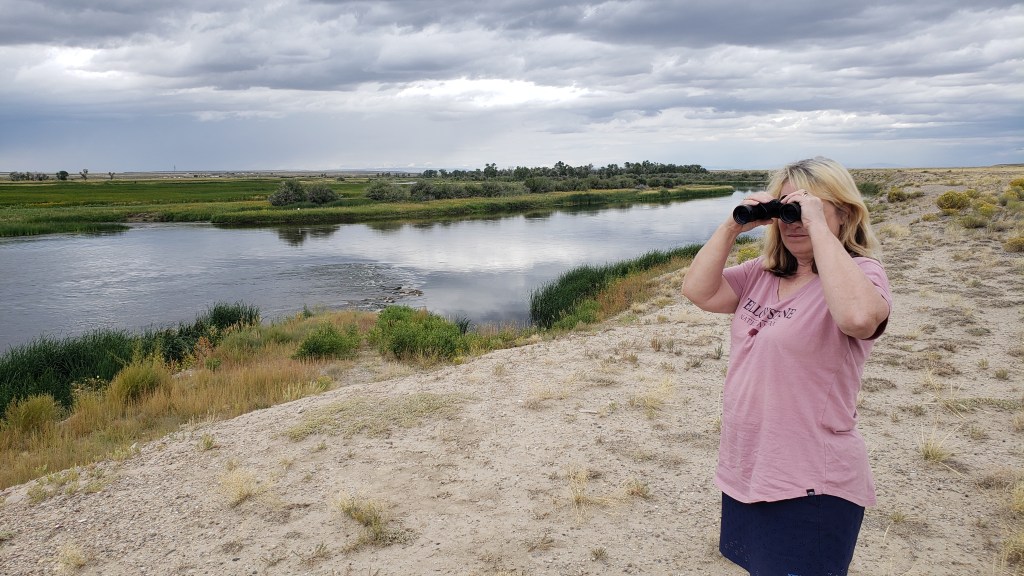
Let’s forget about that part and start with the drive we took out to the Seedskadee National Wildlife Refuge, with its tongue-twister of a name and its wonderful visitor center. The refuge claims to have more than 300 species of birds, mammals, and fish, some of which are taxidermized and on display so you get excited about what awaits.


We saw exactly two eagles, a couple of trumpeter swans, one grouse, and a small handful of kangaroo rats (more appealingly called “gerbils” when you buy them at a pet shop). No moose, no coyote, no rabbits, no badgers, over the course of three passes along the main wildlife road (two during the day, one near dusk).

Ruthie found plenty to sniff, so she was happy.

It may have been just a bit windy.

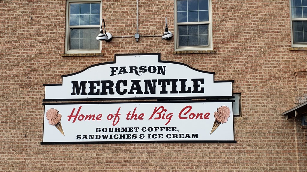
After getting skunked (not by a skunk) during our first pass in mid-afternoon, we decided to head into Farson, where the visitor center guy told us we’d find the “best ice cream,” and a single-serving would be “enormous.”

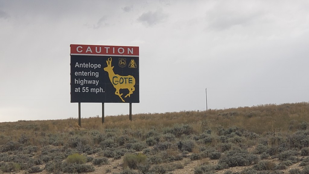
We saw lots of wacky signs warning of local dangers, such as cows and speedy “antelope,” (which aren’t antelope at all, they’re pronghorn, but that’s an argument for another day).

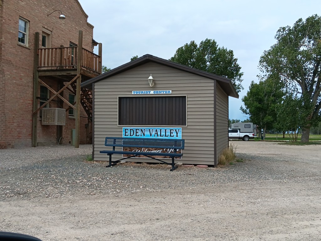
Farson’s Visitor Center, right next to the only other thing in town, the Mercantile, with its big ice cream cones.


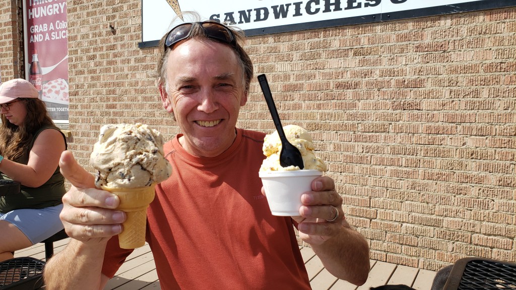
He wasn’t wrong. The place was hopping, and everyone was buying ice cream. We split a sandwich first, having skipped breakfast, and judging by the outrageous size of the ice creams we saw coming out of the building, we both opted for the Baby Scoop.

Turns out, that’s what nearly everyone else had, too.

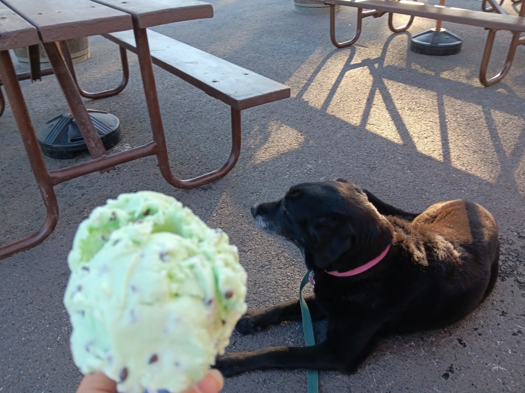
Simon originally asked for a Single, but when the girl scooping it up started to mound a second massive scoop on top of the first massive scoop, he balked, and retreated to Baby Scoop.


Susan ate less than half of hers, Simon powered through his, and we spent a happy hour talking to the locals who joined us on the patio. One was a rancher having a treat with his grandson, and he told us all about his farm, and how he’d never been to Florida because he had no desire to “go to the other side of the world.” All the people we met were just passing through the tiny town, but insisted you “have to stop for an ice cream” when you’re here.

Our return trip to the wildlife refuge had the disadvantage of being right after a big rainstorm, and we were right in thinking we’d see less wildlife (meaning, none) because of it.

Lots and lots of looking, but not a lot of seeing.

Somewhere along the wildlife road we also missed our turn-off to the highway, and as darkness began to threaten, we had a choice to make. There had been no obvious roads turning off the wildlife road, so should we push on? Or should we go with a sure thing and make the many-miles trip back along the road we already knew would lead out of the refuge?

This is pretty much what we saw most of the way.

In this instance, we chose to backtrack, mainly because we’d passed a wreck of an RV that was camped on the side of the road, its owners were probably packing heat, and we’d be held captive if we didn’t get out before dark, since we’d been told the DNR closes the gates shortly after dusk.

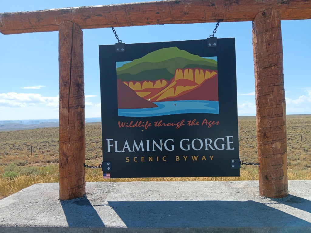
The next day made up for any small disappointment we’d had, as we pointed Nippy south out of Wyoming and into the Flaming Gorge in northern Utah.


I’m a bit tired as I type this, both of us having been awake most of the night with a big thunderstorm and an antsy dog, so we’re going photo-heavy here, with captions that will do most of the work for me.

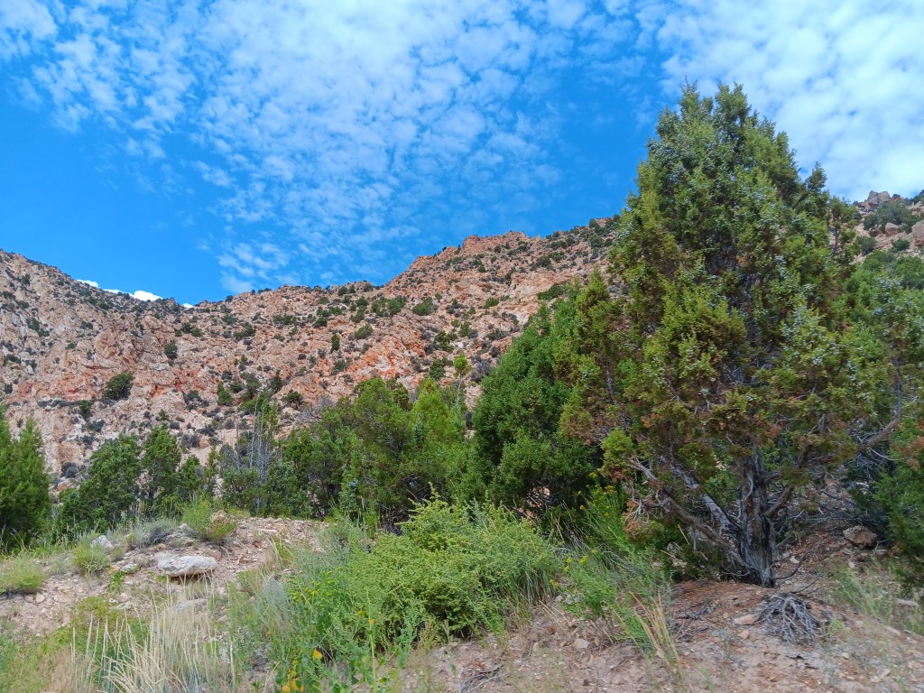
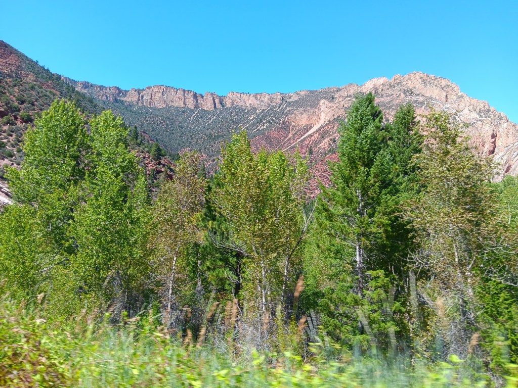
I’m putting this photo here first, and I’ll use it as a reference for how BIG the mountains we passed were, and how high the canyons walls were. This is nothing more than a large mound of rock, hardly worth noticing, but it gives you an idea of size.

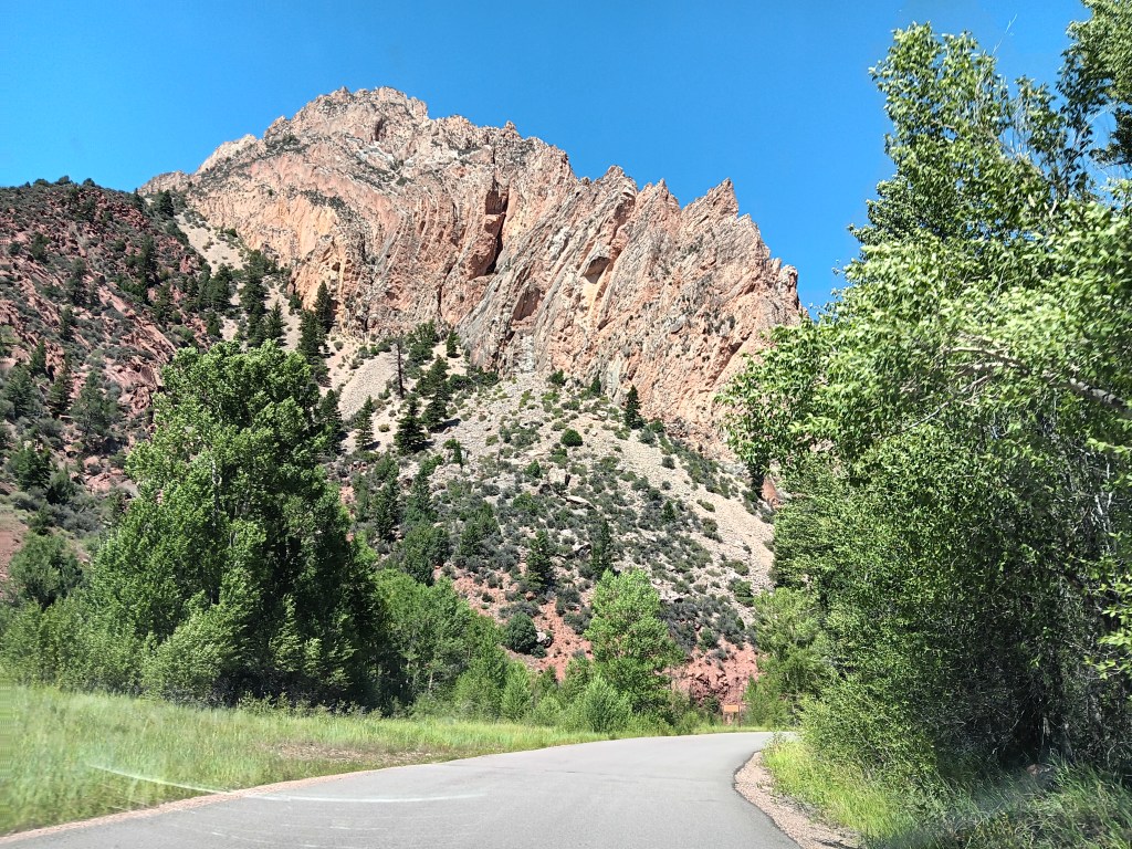
On our way through Flaming Gorge National Recreation Area, we detoured down a road that led to the Sheep Creek Canyon Geological Area, a name that intrigued us, and we’re so glad it did. It turned out to be in our Top Two of astounding canyons.

It started slowly, but even so, that boulder with Nippy in front of it is about the size of a single rock at the top of this mountain.

You wouldn’t be able to see the boulder without binoculars if it were at the top of this mountain. It would just be too small.

A creek ran alongside the geological loop throughout our entire drive.

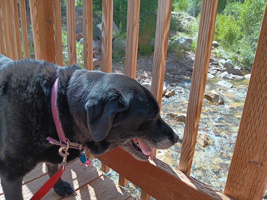
“How cool and babbling and refreshing on this hot summer’s day! Too bad I hate water so much.”

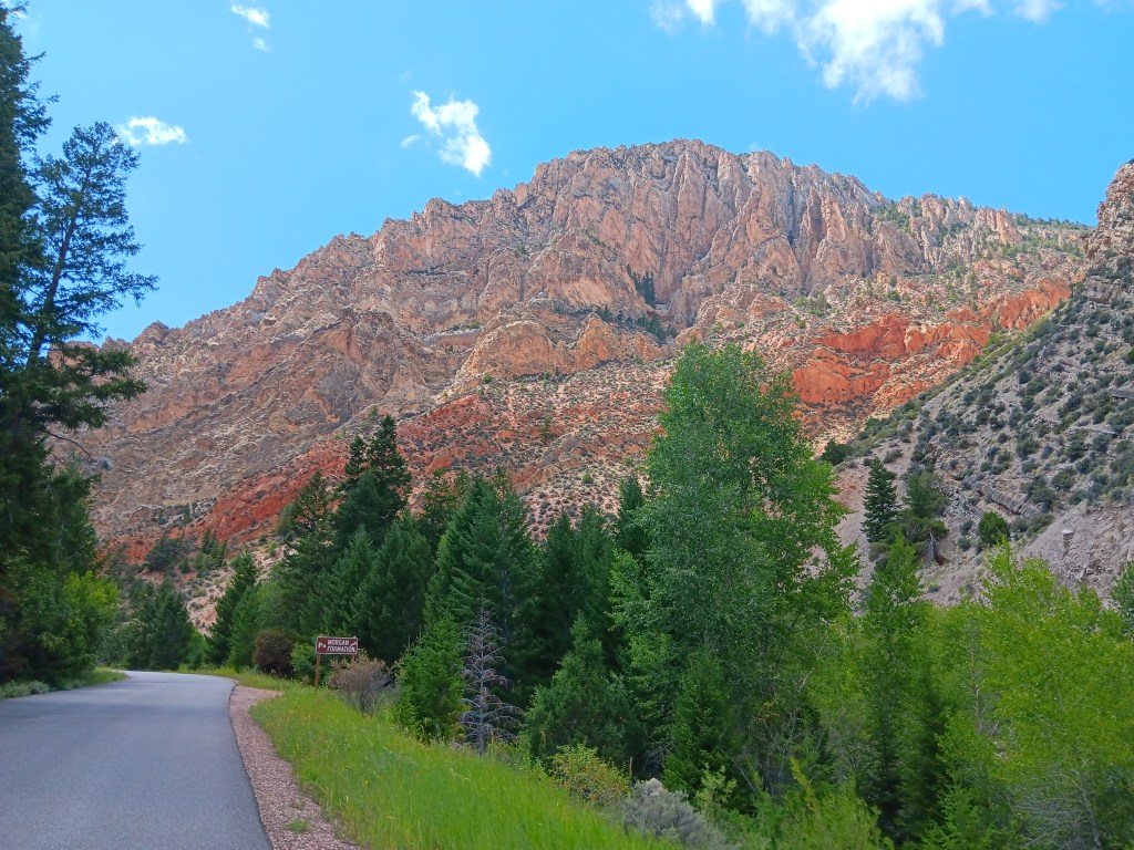
The tiny points at the top of this massive, massive mountain are enormous pine trees.

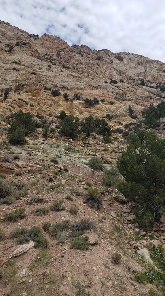
The smallest rocks sticking up at the top of this mountain – whose structure looks like it was bent in on itself – are about the size of the boulder.

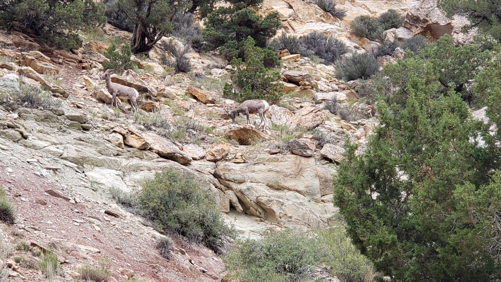
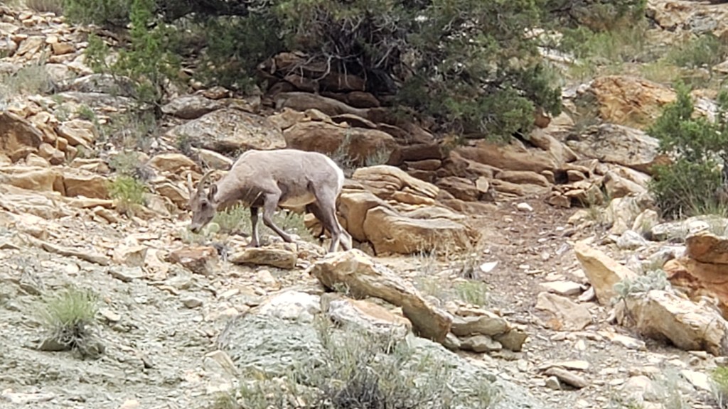
We took hundreds of mountain photos, as you can imagine, but we’ll stop there. Instead, enjoy these two Bighorn Sheep, who blend into the landscape so well it was surprising we saw them at all.


This is without zooming in. You can JUST make out their white butts below the trees in the middle of the photo. That’s how hard they are to see.

This is zoomed WAY in.

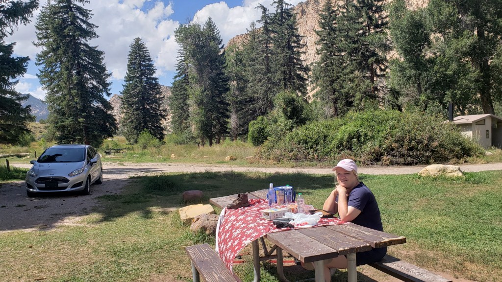
We pulled off into a tent-camping area before leaving the canyon, and had the kind of lunch we were growing used to (meaning, odd). This time it was frozen carrots, cherry tomatoes, Paul Newman Italian Dressing in a packet we picked up at the lodge in Yellowstone, Triscuits, bread, and sausages.

Why? Just, why?

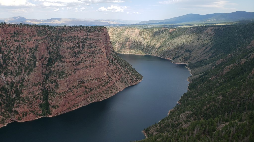
Finally, we reached the Red Canyon, and while we didn’t get the best light of the day, the deep red of the rock and the depth of the canyon were still incredibly impressive.

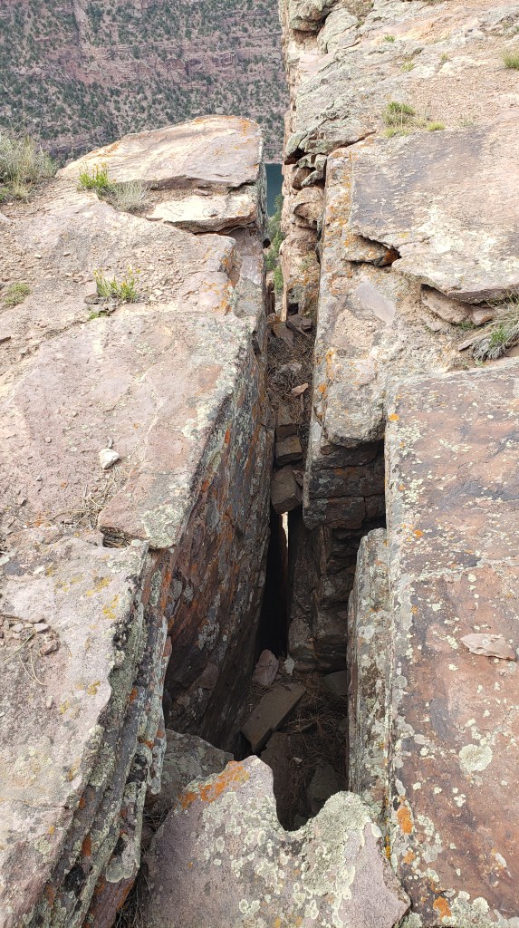
There are warnings to avoid the deep fissures all around the walkway that leads out to the overlooks.

You can just see two people on the ledge just past the small pine tree (the white dot is one person’s shirt), which gives you an idea of scale.


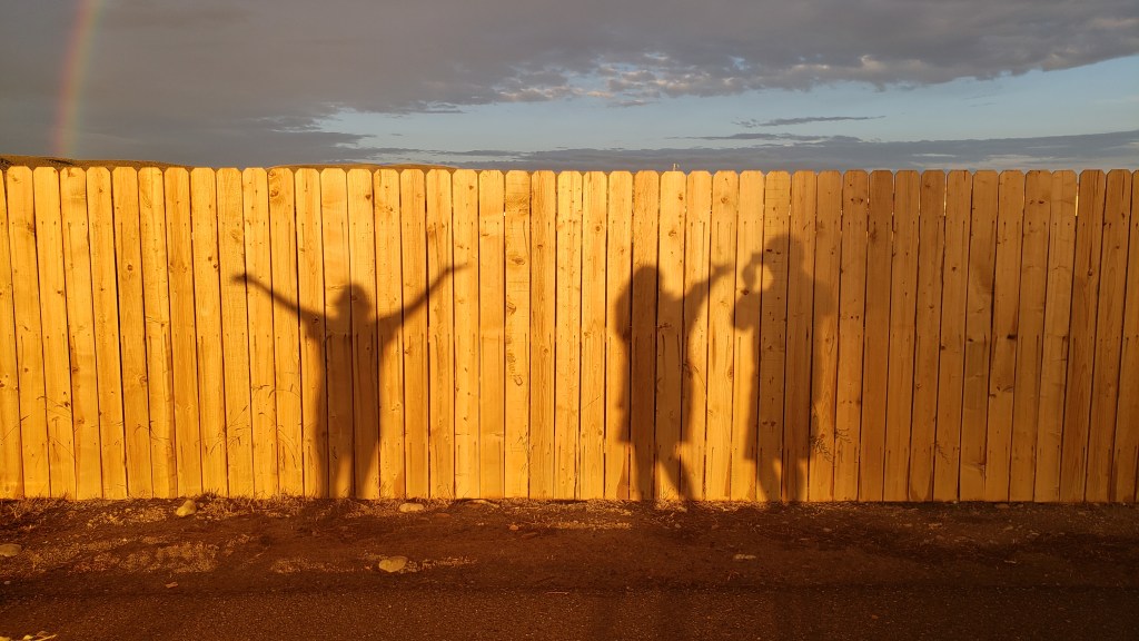
Our final evening in Wyoming was celebrated with a glorious, full rainbow, and some fun with a fellow camper when we noticed our shadows on the fence. Isn’t life great sometimes?

Click photo for video

That’s How People Die


Some of our adventures begin with “It all started out so well.” This is one of them.

With three hours to kill before we could check in at our new campground in Green River, Wyoming (just 15 miles from the Rock Springs Walmart, whose parking lot we spent the night in after we drove two hours longer than we’d planned to), we popped into the Rock Springs Visitor Center to get some local knowledge about what to do in the area.

Along with the famous Flaming Gorge, we were told to drive out to the White Mountain Petroglyphs, visit the Killpecker Sand Dunes, and take the scenic Wild Horse Loop as great ways to spend time and soak up some natural wonders.

Each time we talk to a Visitor Center person we tell them three things: We have an elderly dog who can’t hike more than a mile round trip; we want to avoid high places with sharp drop-offs; and we’d like to skip any dirt roads, to avoid damage to our little Nippy.

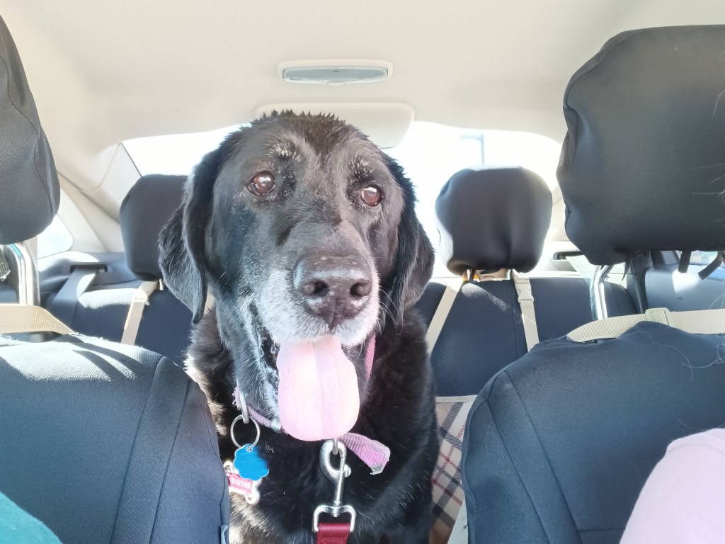
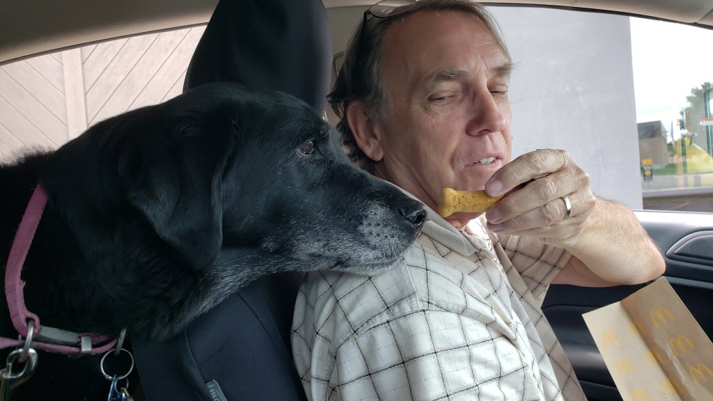
Our Ruthie. In Nippy. With Simon. And a treat.

In this instance, we pointed at Nippy and at our elderly dog, just outside the Visitor Center’s front window, to drive home the point, having been totally ignored by another Visitor Center representative who only told us about long hikes in his area, which were, apparently, his favorite thing to do.

No problem at all, we were assured. We should go to Flaming Gorge, of course (“Well, yes, there are sharp drop-offs, but they only last a few minutes,”), and we should also go out to the White Mountain Petroglyphs, which include what is now called Birthing Rock, a secluded spot where Native American women went to give birth. The highlight of the place was that you could see fingernail marks in the rock, where laboring women tried to cope with their pain.

Okay, odd, but count us in!

We should also drive the Wild Horse Loop in the evening, and see where thousands of wild horses live, our girl said. The loop would take an hour or two, depending on how often we’d stop. Then, on another day, the Killpecker Sand Dunes are “so much fun,” we should go there and do some dune surfing.

Perfect! We’d do the petroglyphs before checking in at the campground, the Wild Horse Loop the next day, then fit in the unfortunately-named sand dunes and Flaming Gorge, with a day in between to do some work. Plan made!

This isn’t us in Wyoming. It’s us at an Orlando City Soccer game, with our hair covered in beer from the people behind us. But this is how we feel when a plan comes together.

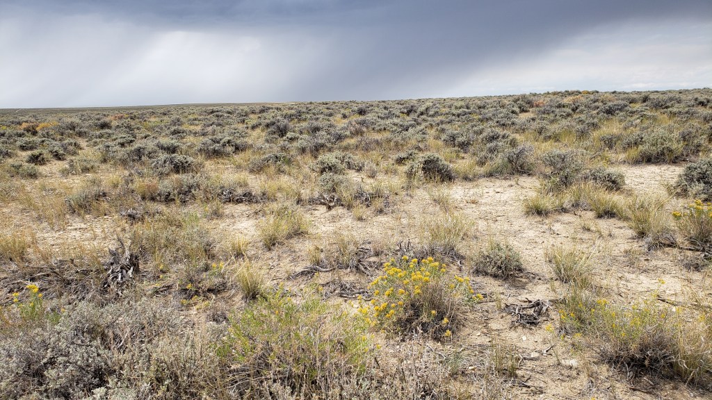
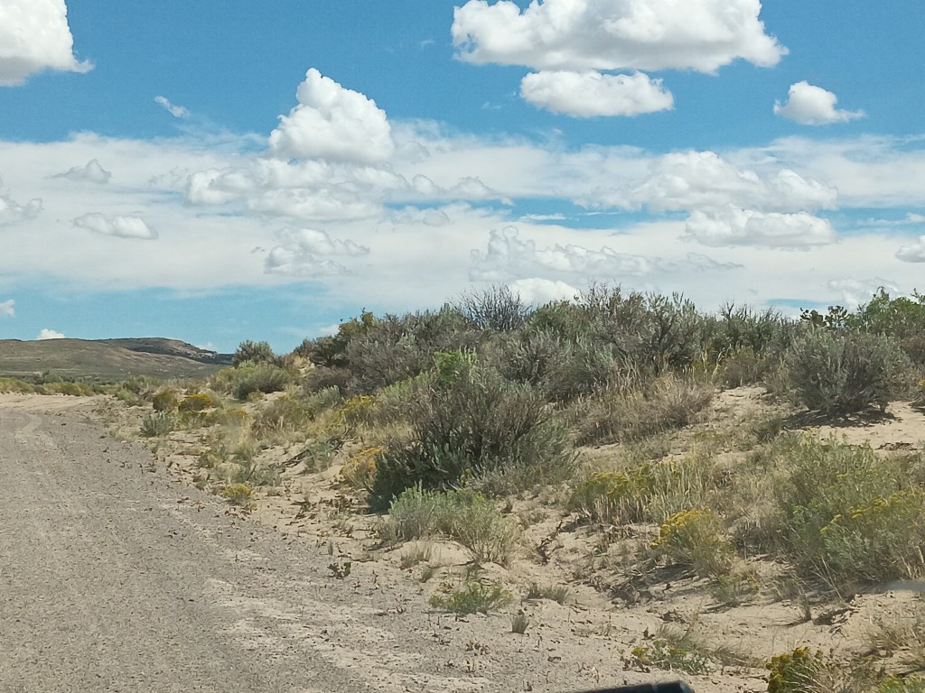
CR-191 heads north out of Rock Springs, and it’s a smooth, paved road into the “Red Desert.” We quickly left the city behind and were passing an increasingly dry, desolate landscape of low, gray-green sagebrush, tufted bunchgrass, some sort of spindly yellow flower, and sand, made even more godforsaken by the harsh summer sun hammering down on us and on the swirling dust-devils.

Foliage we are not familiar with

A sign pointed to the turnoff for the road leading to the petroglyphs, and we were mildly dismayed to discover it was, in fact, a gravel road. But it was an “improved gravel road,” meaning, it had recently been watered and graded. Okay. Not too bad. And it was only 17 miles to our destination.

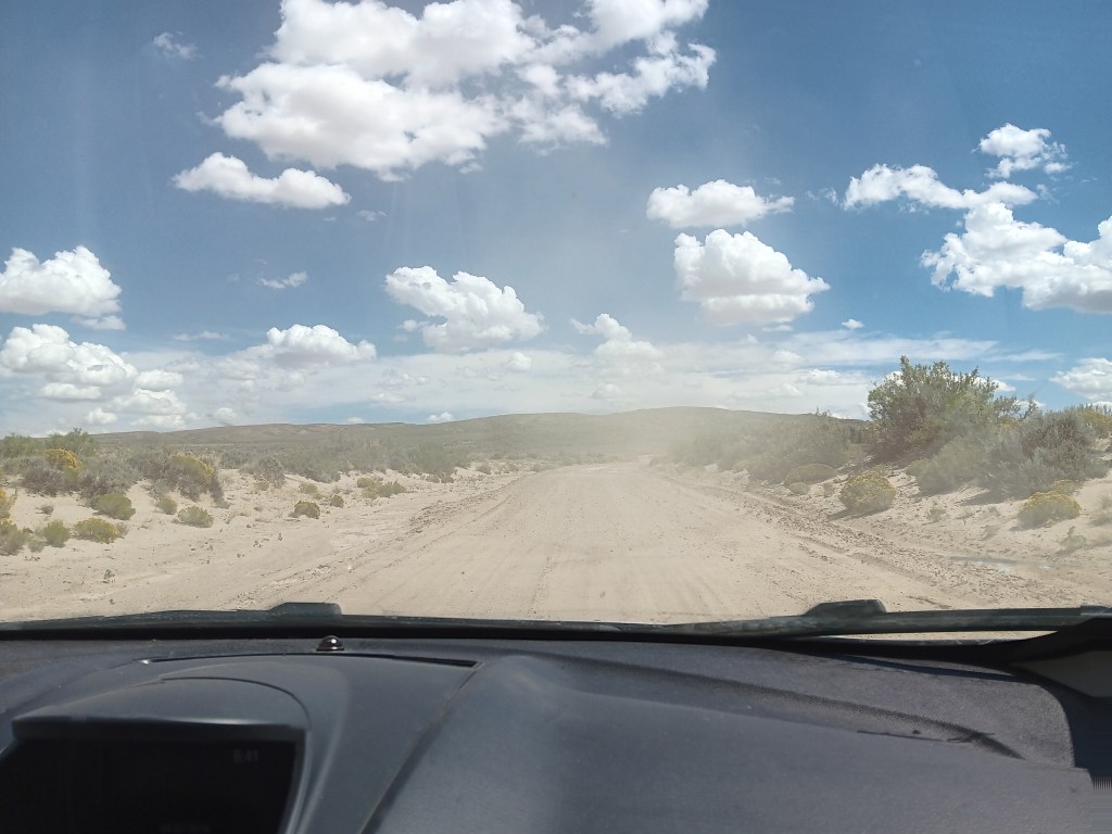
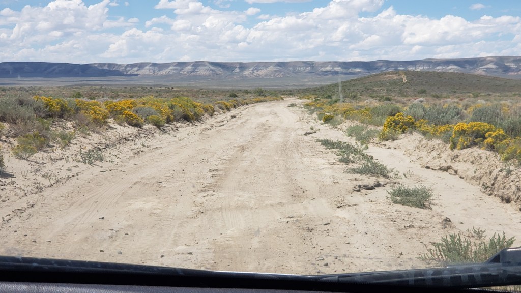
Within minutes, we both agreed if that monstrosity was “improved” we’d hate to see what an unimproved gravel road was like. Unfortunately, after 10 rough, pitted miles, we found out. Some of the cracks created by winter’s run-off in the not-at-all-improved road were so deep we were reminded of the Guernsey Ruts, and extensive holes full of tire-sucking sand threatened to end our journey in the ditch, with a slipped Nippy.

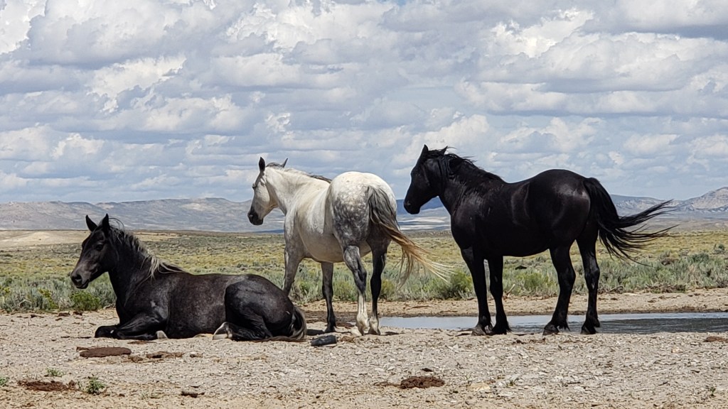
One lone pronghorn watched our progress, and we were certain it was thinking, “What idiots.” Three wild horses turned to observe us briefly, surely wondering if we had a death wish. A small herd of cattle paused mid-chew to give us looks that indicated we were the kind of people who should return to the comforts of the city. Now.

After they looked upon us with scorn, they turned their backs and shunned us altogether.

But we pushed on.

We’d gone more than 17 miles, but there wasn’t a petroglyph or birthing-worthy rock in sight. We’d been traveling parallel to a cliffside for many, many miles, but it was never closer than a mile or so away. We could see quite a way down the “road,” in front of us, but there were no signs indicating our destination was imminent. Where the actual hell were we?

Several miles back, it had begun to dawn on us we had one individual-serving-size bottle of water, no extra gas, no cell phone service, and a dog with very little hind-quarter muscle mass, who could never make it back to the main road. Not only that, but we were totally alone. Some pissed-off rancher could come out and shoot us between the eyes, hide our bodies in the shrubbery, and never spend a moment in prison for the murder of two tourists who didn’t have the sense God gave a goat.

We absolutely are not going to compare ourselves to the brave pioneers who faced immense hardship while founding this great country, but really, sort of, we are.

If the car broke down or we got a flat we could probably make it back to the main road, but there was no way our Ruthie would survive the desert of the damned.

It was time to call it.

So near, yet so far, and with the Grim Reaper’s hot breath on our necks, we turned Nippy around and prayed we’d make it back to pavement.

You’re reading this, so it’s obvious we did. But only just.

It was windy, too. No one can be expected to bear this with grace.

We’ll spare you the next day, when we ventured out for the Killpecker Sand Dunes, which turned out to be much, much further down that same horror of a dirt road.  We won’t mention our dismay when we switched gears and decided to do the Wild Horse Loop instead, which (say it with us) was also down an ass-end-of-nowhere road.

This isn’t the Wild Horse Loop. This is the super-easy, get-there-on-a-paved-road Horse Corral we found the next day, where the Bureau of Land Management rounds up wild horses and auctions them for adoption. Wild herds can double every 3-4 years, and, if left in those numbers, most would starve to death.

Later, when we read the multi-page booklet we were given by the Visitor Center, we discovered additional information we hadn’t been told. The fine print for these locations insisted:

“Grab your camera and binoculars, pack plenty of food and water, and make sure to travel in a fueled-up AWD (all wheel drive) vehicle and always let someone know where you will be going and when you will be back.”

Oh, and by the way, it’s a steep, nearly two-mile round-trip hike to the petroglyphs from the road, through sand and shrub and probably loads and loads of infuriated rattlesnakes.

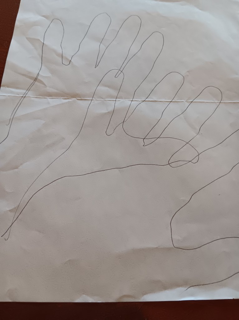
Since we didn’t get to see the petroglyphs, we made our own.

That is the kind of information you give to people who don’t own trucks or cowboy boots. The kind of people who carry designer purses or wear Ray Ban sunglasses. In short, us. We’re the people who need to be told.

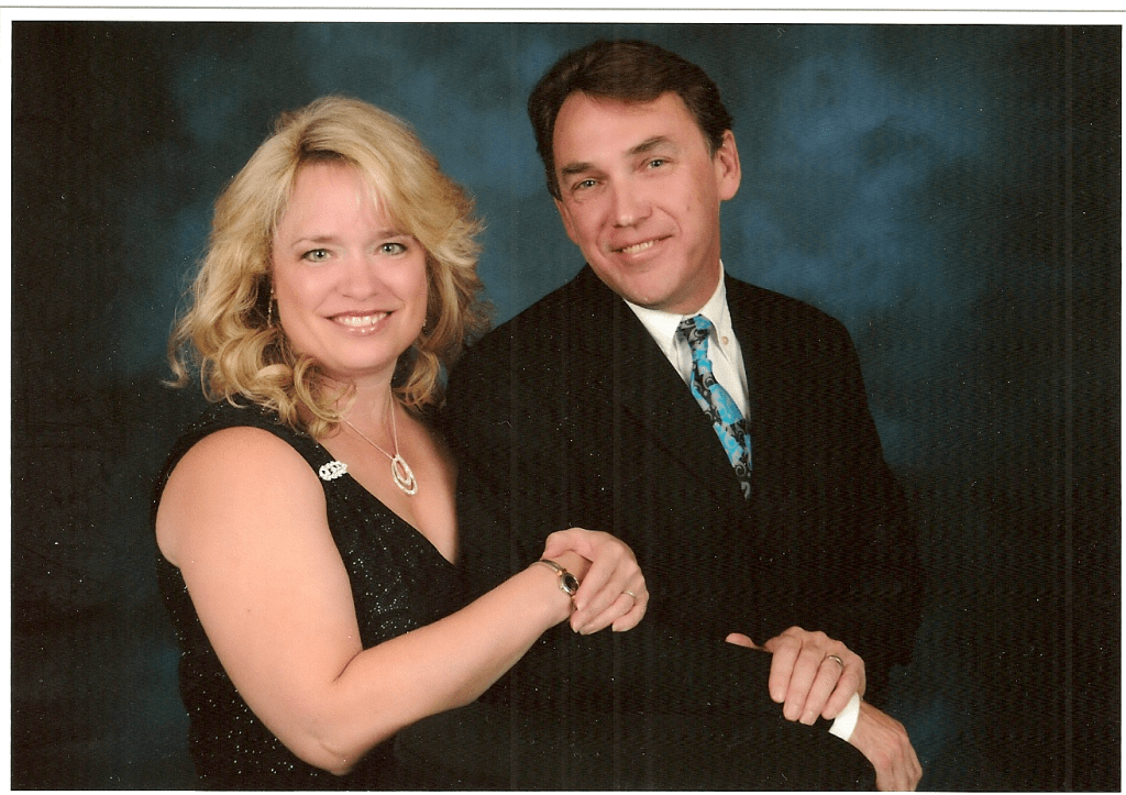
Us in our natural state

But we won’t be the people who need to be told next time, because we learned the lesson and survived to tell the tale. So, in the end, it’s a story of triumph. Right?

An Unexpected Detour Into Colorful Colorado


Colorado wasn’t on our original itinerary. We just couldn’t fit it in before winter hit, but with the changes we made – skipping Oregon and Washington – we took advantage of the extra time we have, and our proximity to the Rocky Mountain state.


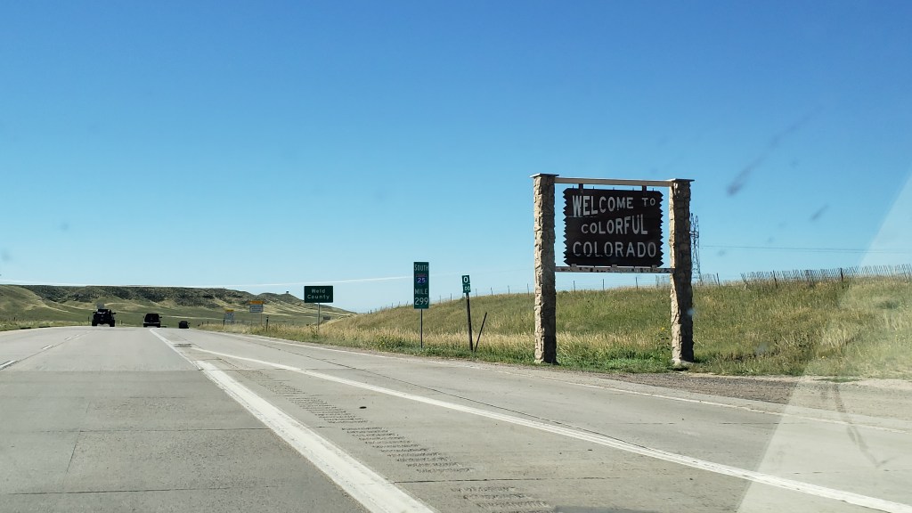
With Fati tucked up at the campground in Wheatland, WY, we headed south into Colorado, having booked a hotel room in Loveland for one night. If we could get a timed entry reservation, we’d visit Rocky Mountain National Park on our second day.
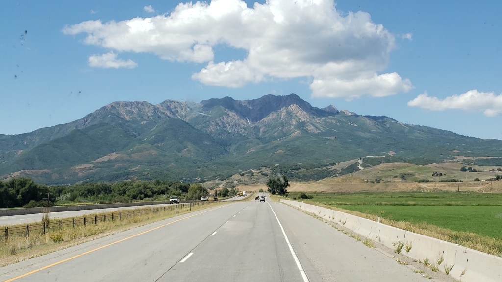
But it was a big “If.” From experience, we knew timed entries go quickly, so we were ready to sniper the 5 p.m. online reservation release and hope for the best.

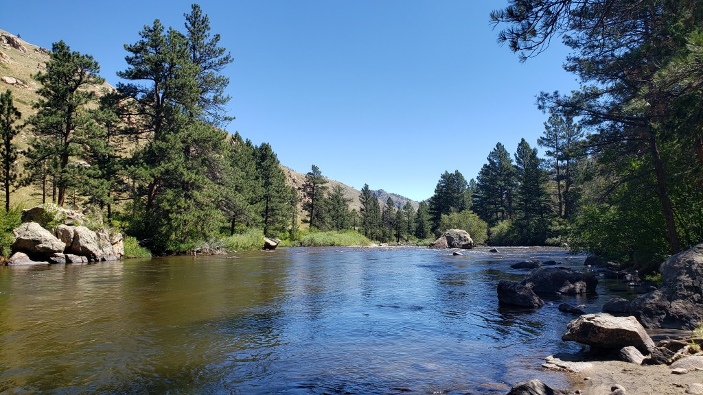
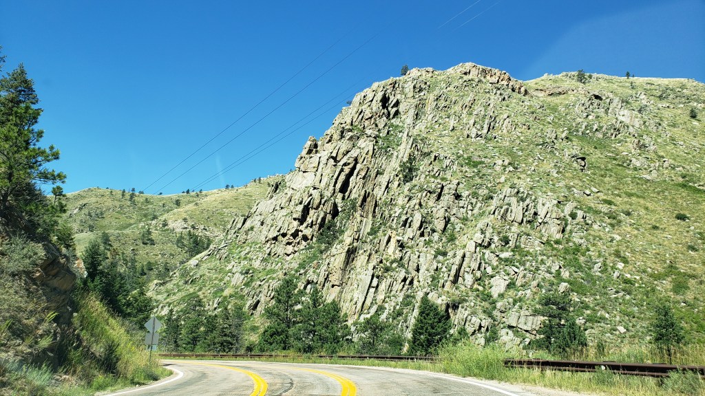
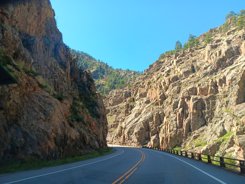
We had perfect weather for our first adventure, which saw us leaving I-25 at Wellington, Colorado, aiming for Cache la Poudre Canyon (oddly pronounced “cache la pooh-der,” and named for French-Canadian trappers who hid their gunpowder there during a blizzard in the early 1800s).


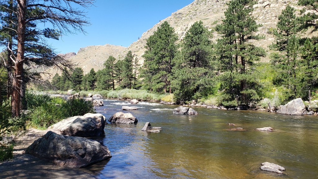
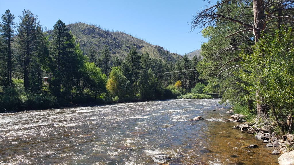
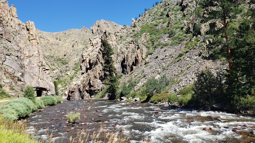
The landscape started gently, but quickly morphed into high, craggy spires lifted vertically by whatever natural forces were at work back when dinosaurs roamed the land, and a mighty Poudre River now wends its way along the bottom of the canyon it carved out.


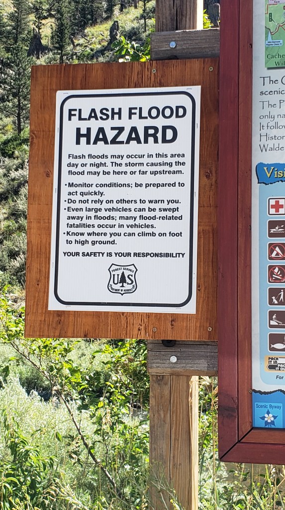
We all have our “things” that unnerve us slightly, and Simon paused for just a moment when we stopped along the river and saw this sign. We were astonished by how many houses were built in the canyon, and often wondered how they would survive a flash flood.


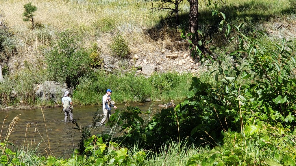
Similar to the Galatin River on our way to Yellowstone, Poudre River is heavily used for fishing and white water rafting. We love seeing rivers as-is, but it’s even more thrilling each time a raft filled with happy (but dogless) adventurers comes bounding down the gentle (and not so gentle) rapids.


We know you’re probably growing tired of scenery photos, but this beautiful country astounds us at nearly every turn, so here’s a video of the canyon’s prettiest turn.

Click on photo for video

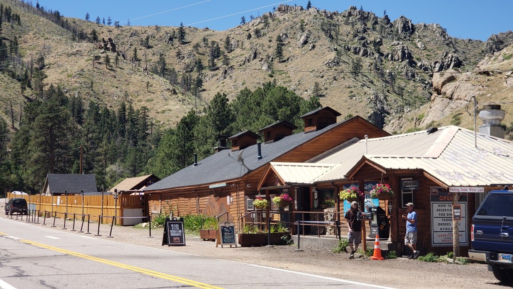
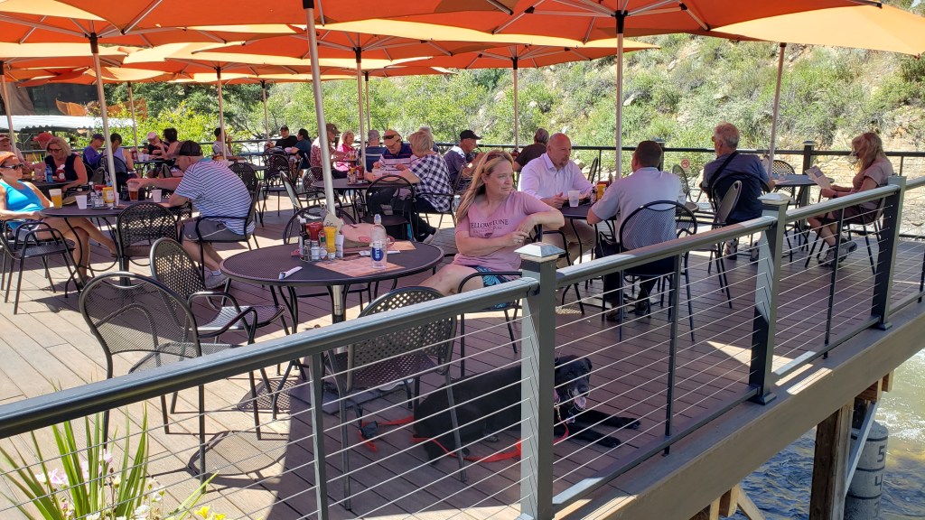
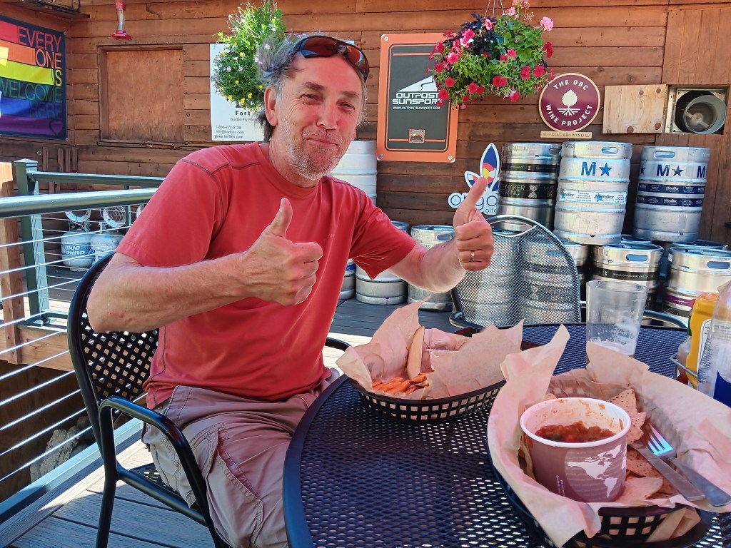
Lunch that day was at the Mishawaka, partly because it’s a long-time institution in these parts, and also because it’s the only restaurant (and a hot-spot music venue) for about a hundred miles. It’s busy…like, REALLY busy…but after driving as far as we could, we backtracked, scored a table on the patio overhanging the river, and life was good.

Surrounded by mountains, with the river behind it

Susan, happy as a clam who didn’t have to cook

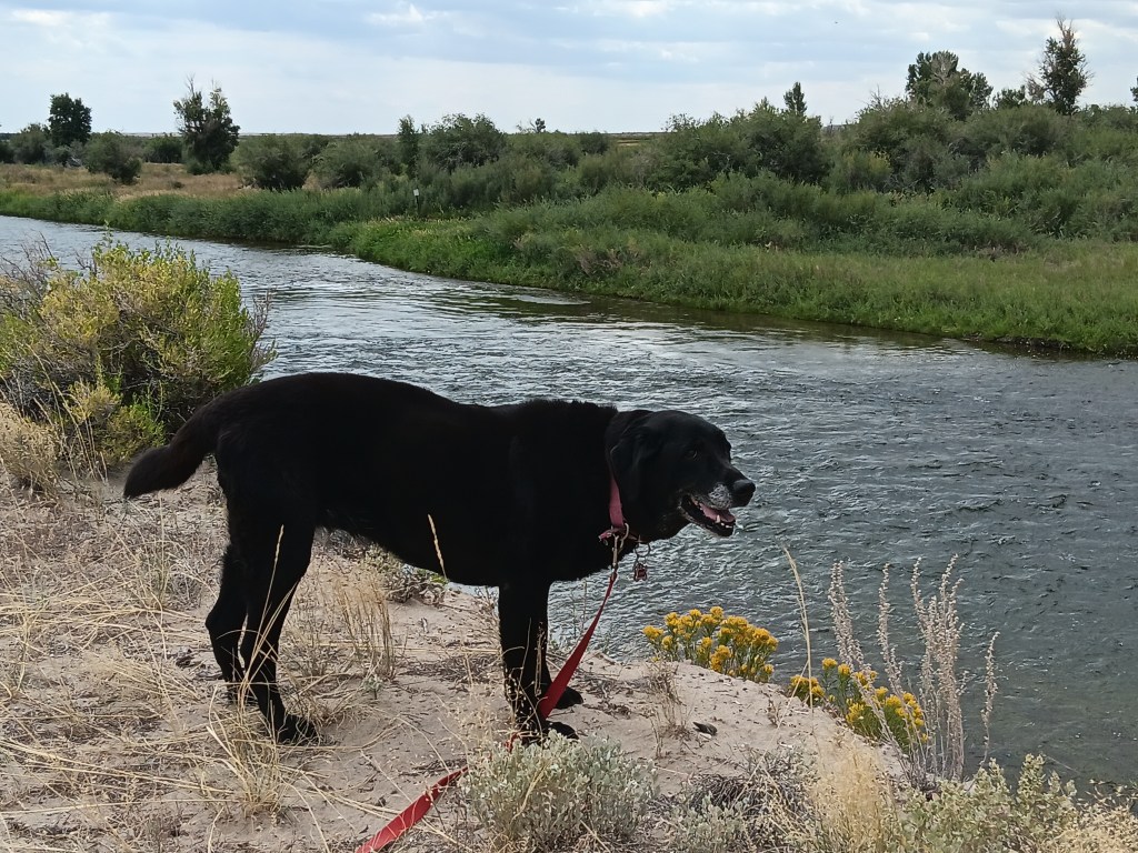
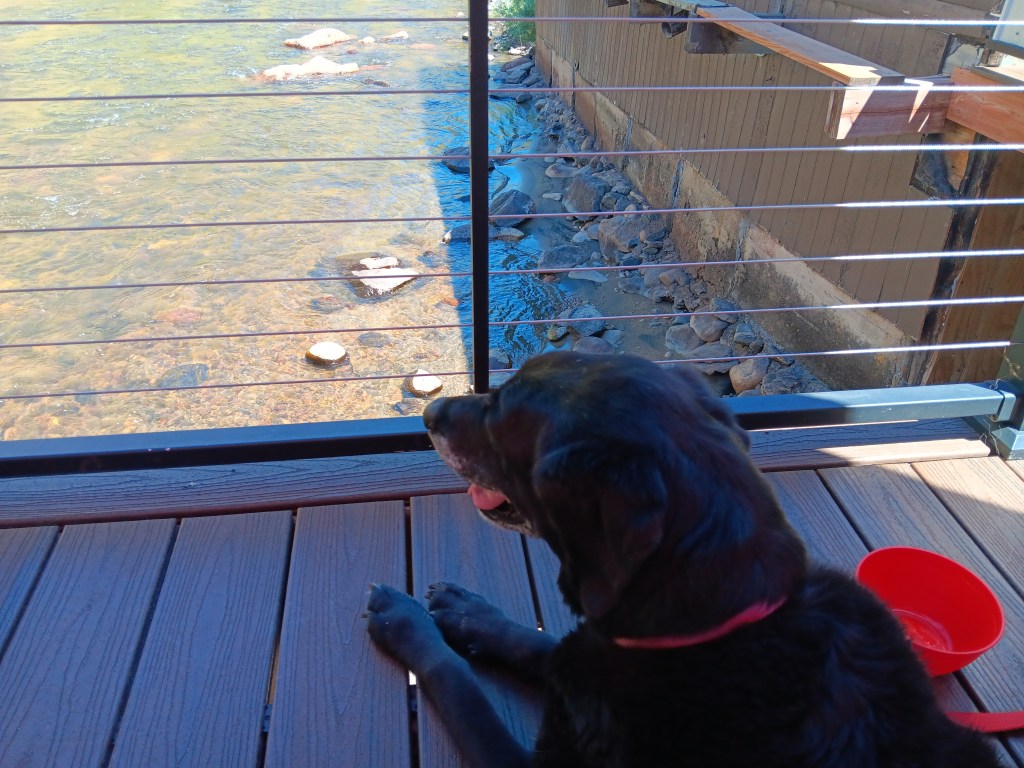
Ruthie, happy as a Labrador who has just been given four french fries

Simon, happy as a well-fed boy who’s finally had a real meal. We split an order of fish & chips, but scarfed it down so fast we forgot to take a photo. Still, it’s not hard to imagine what fish & chips looks like.

We made our way out of the canyon after lunch, marveling at how different the view is, depending on which way you’re going.


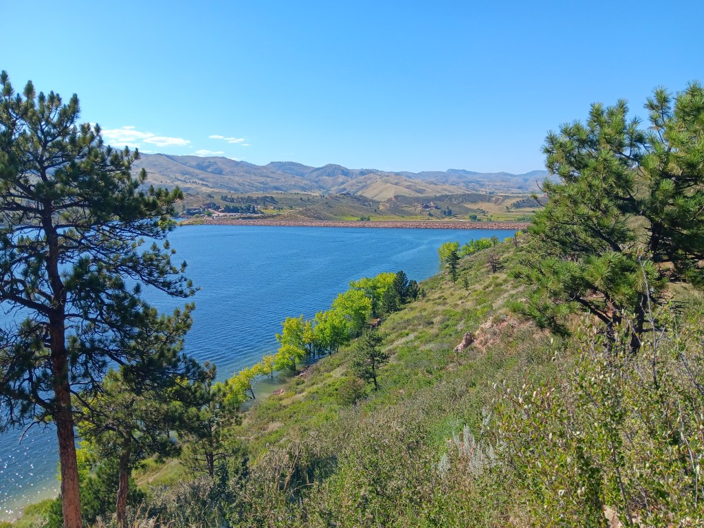
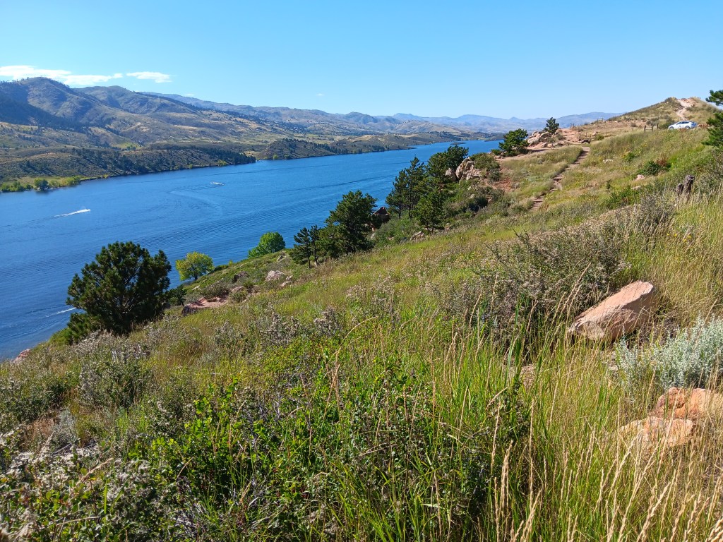
The day was still young enough for us to detour to Horsetooth Reservoir before heading to our hotel for long, hot showers and a good night’s sleep. The reservoir was created to divert water from the Poudre River to ensure a steady, accessible supply, and now it’s used for all sorts of recreational activities.


At exactly 5 p.m., Susan was on nps.gov, for the release of coveted timed-entry reservations for Rocky Mountain National Park. Forty seconds later we had confirmation for entry between 9 a.m. and 11 a.m. and were good to go!

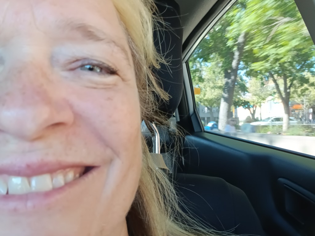
The face I make when it’s all going right! PS: Those spots are freckles, not dirt, though with this lifestyle they could easily be dirt.

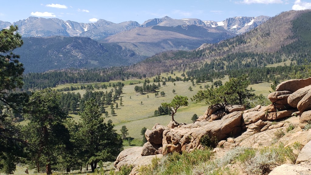
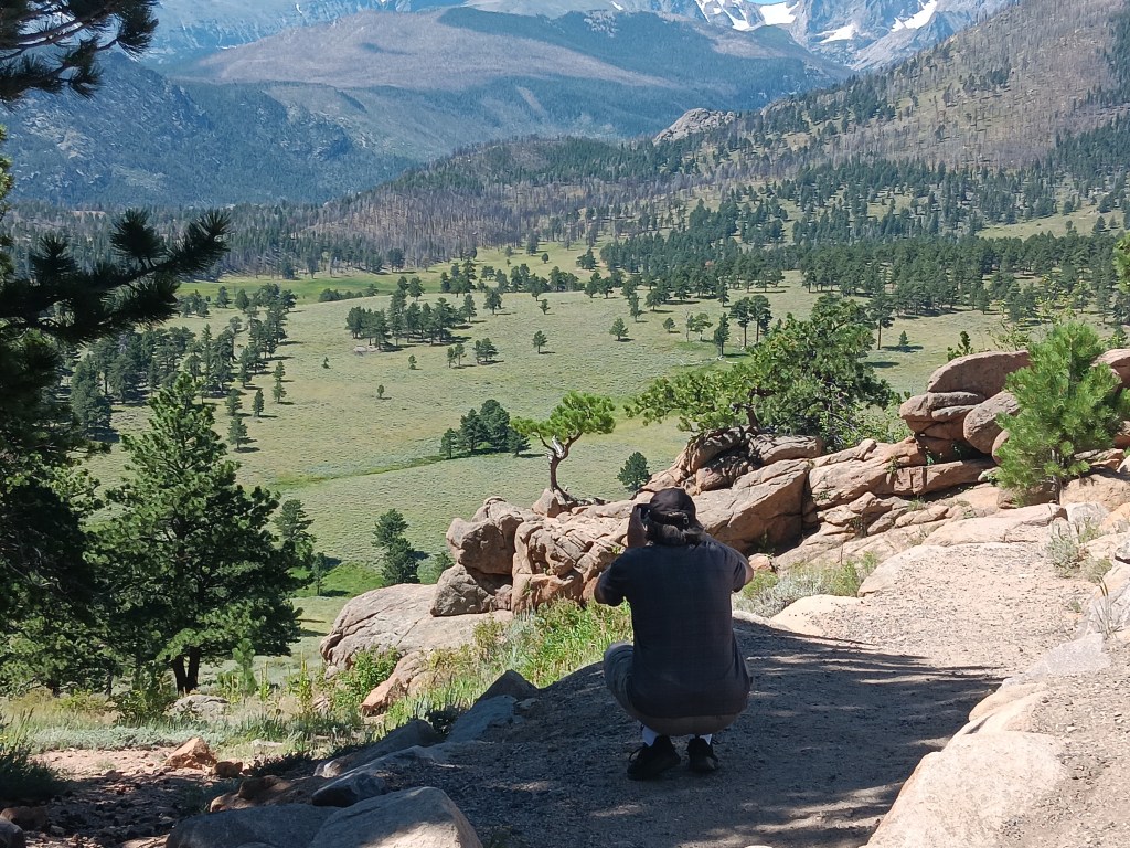
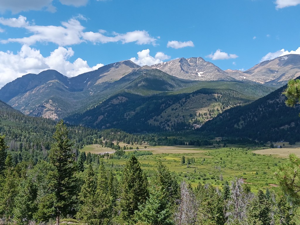
Simon’s word for the day even, before we reached the park, was “Stupendous,” but it barely scratches the surface of what this place is all about. We couldn’t do any of its fabulous hikes (Ruthie just isn’t able, and dogs aren’t allowed on the trails anyway), but Oh! What glorious vistas!


The ranger we spoke to at the Beaver Meadows Visitor Center just outside the park’s entry told us we must do the Trail Ridge Road (“No, we don’t have any big drop-offs here, we have ‘rolling drop offs,’ which means they’re just long slopes next to the road,”), then visit the hidden gem of Sheep Lake Valley.
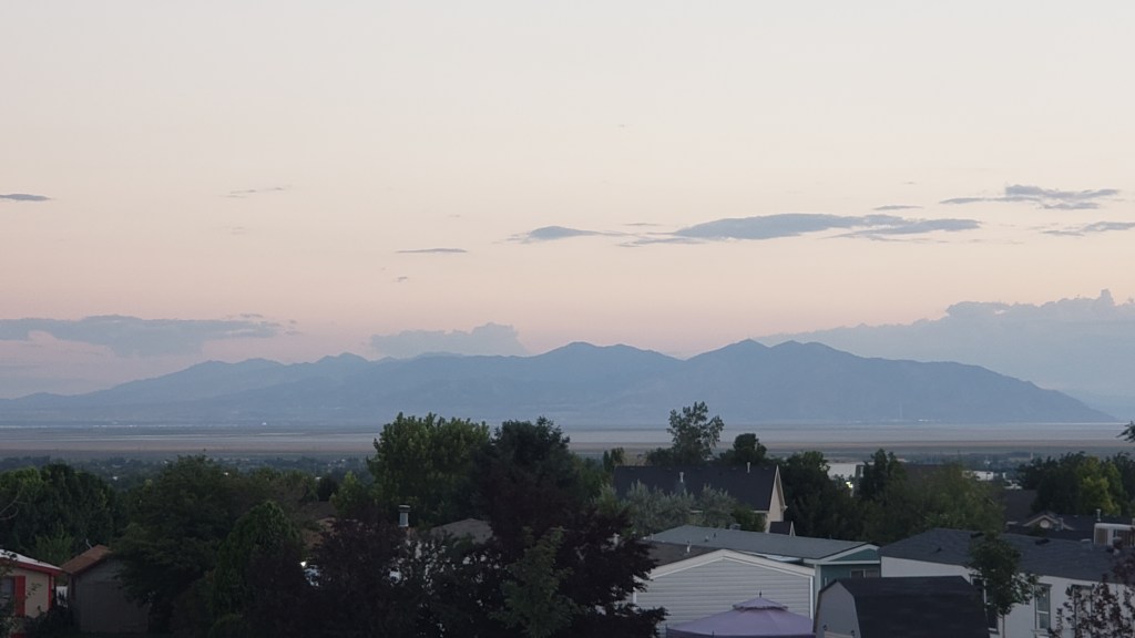
We agreed we’d go as far as Beaver Pond, part-way up the mountain, then see if it was still comfortable. During our ascent, the term “rolling drop-off” revealed its true meaning: You won’t die immediately upon impact after falling off the cliff, you’ll just bounce your way down to the valley and die a long, slow, horrible death.
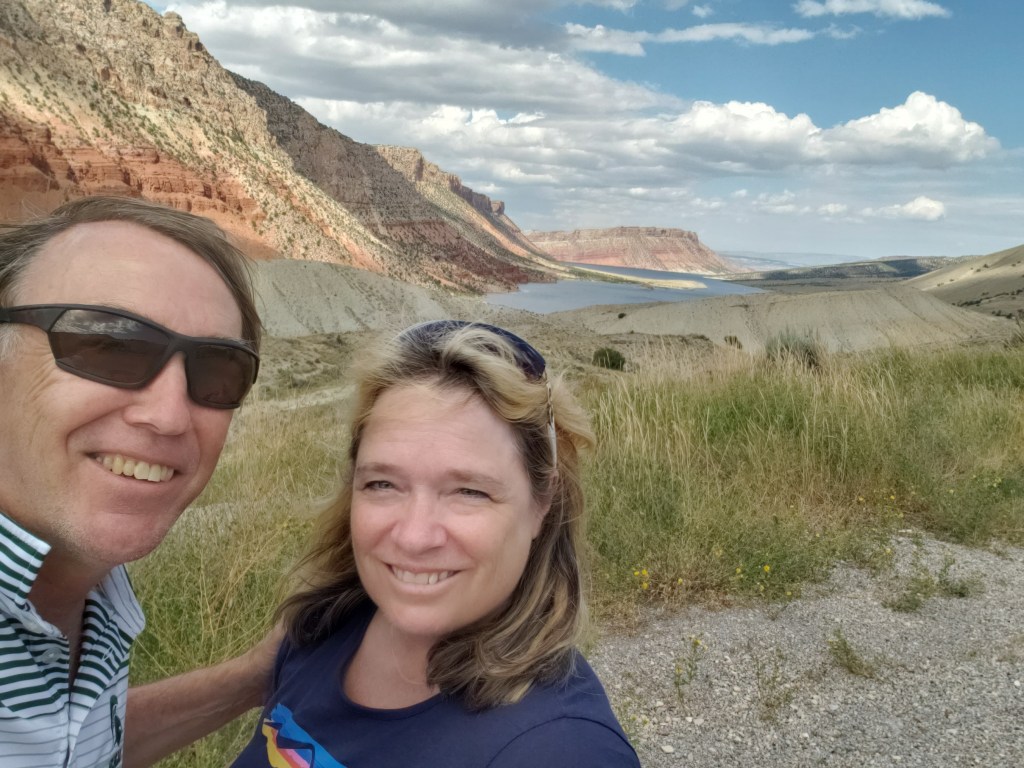
Okay, so it’s not a “sheer” drop-off, but damn, son…the only thing “rolling” about it is you and your car if you’re not careful

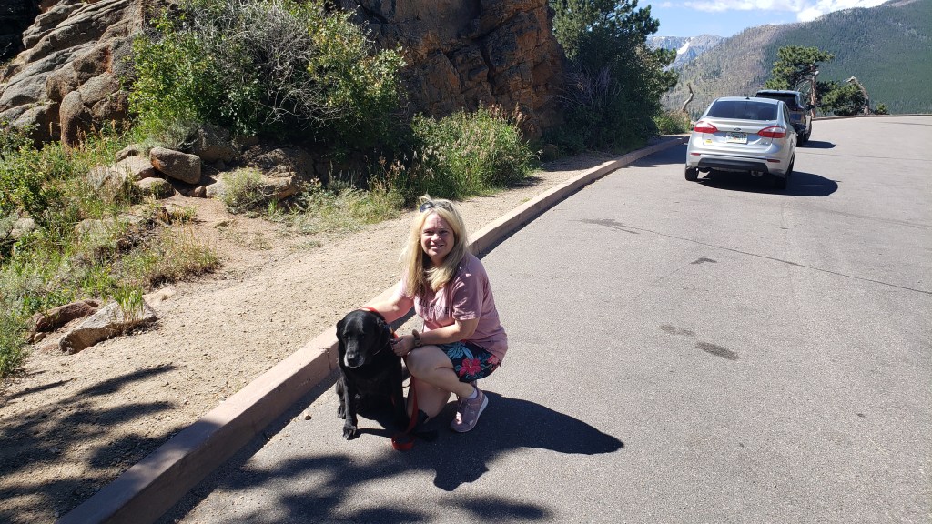
Happier times, just before we hit those “rolling drop-offs.”

Still, Beaver Pond was located before the big switchbacks, so it would all be fine. Right?

We blew past Bever Pond without realizing it, and were well into the switchbacks when Susan said, “Get me the hell down from here.” Loving husband that he is, Simon pulled into the next big turnout, just on the uphill side of the hideously named Many Parks Curve Overlook (elevation 12,183 feet). He pulled right up to the edge of the parking area, got out, and said, “I’ll just get a couple of photos and be right back.”

Click on the photo for video

As always, Simon had to go right out to the edge of the cliff while Ruthie and I stayed in the car watching him lean way, way over the guardrail. The following conversation took place:

Ruthie: Where’s he going?

Susan: Twelve thousand feet straight down, if he’s not careful.

Ruthie: Who will feed me?

Susan: Me. I always feed you. You know that.

Ruthie: Who will pick up after me when I’m a Good Girl in the garden?

Susan: Now we have a problem.

He was back ten long minutes later, and we were on the descent to Sheep Lake Valley (elevation 8,524), named for the Bighorn Sheep that are prevalent there, so much so that, during summer months, rangers have to be stationed along the road to act as crossing guards.

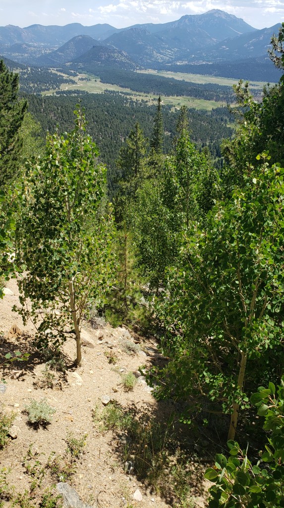
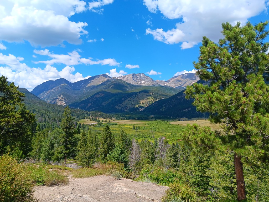
That green patch is the valley, still quite a way down


We hadn’t seen Bighorn Sheep since Custer National Park in South Dakota, so we were hopeful of finding another herd or two.

It was not to be. But something even better was waiting for us when we reached the valley. A bull moose was browsing in a pond just off the road, giving us the thrill of a wildlife sighting we had not yet had.

That dark thing with antlers to the left of the reeds is our moose. It isn’t wise to get too close.

Enjoying swamp salad for lunch

We shared our binoculars with another couple, who hadn’t seen a moose during their travels, either. There are few things better than having someone say you made their day by doing something so simple.

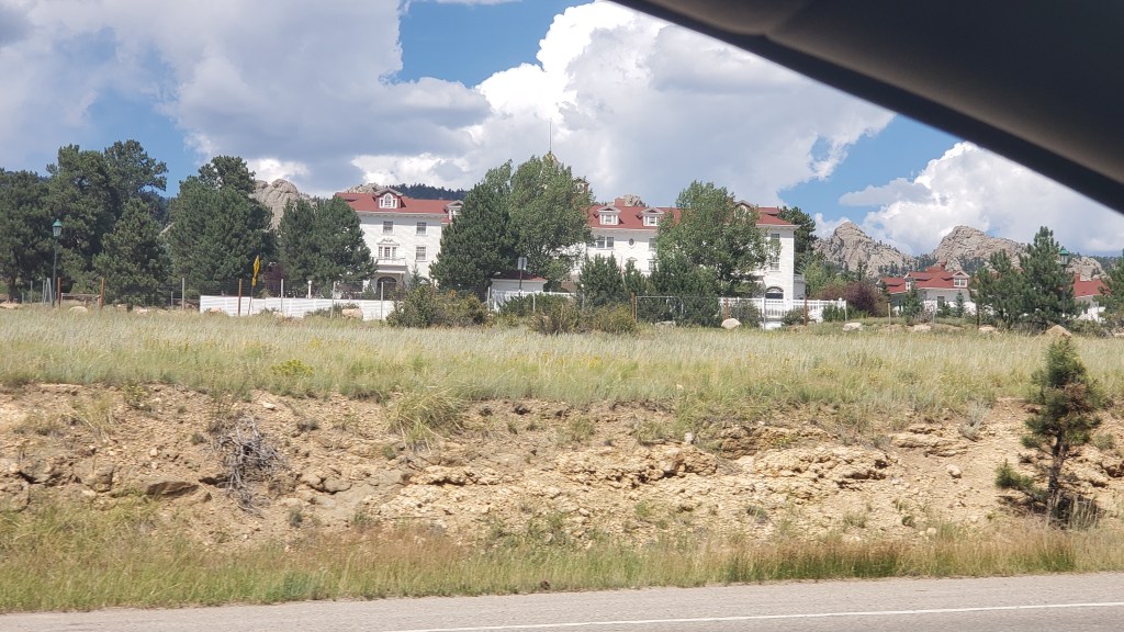
What a wonderful finale to a day of WPM (Simon’s new term, meaning “Wows per minute”). But we had two more Wows to enjoy when we stopped at Estes Park for dinner. First was the horror-movie Wow of passing the Stanley Hotel, architectural star of the movie, The Shining.

Even driving past it felt a little bit creepy

The second was the Wild Game Sampler at Molly B’s restaurant, an enormous platter of smoked buffalo, jalapeno elk, apricot boar, and smoked caribou sausages, with cheese, crackers, and mixed-berry jam, meant to be a sharing appetizer, but the right size for a full entrée, if you’re Simon.

He had no idea which meat was which, but he enjoyed it all

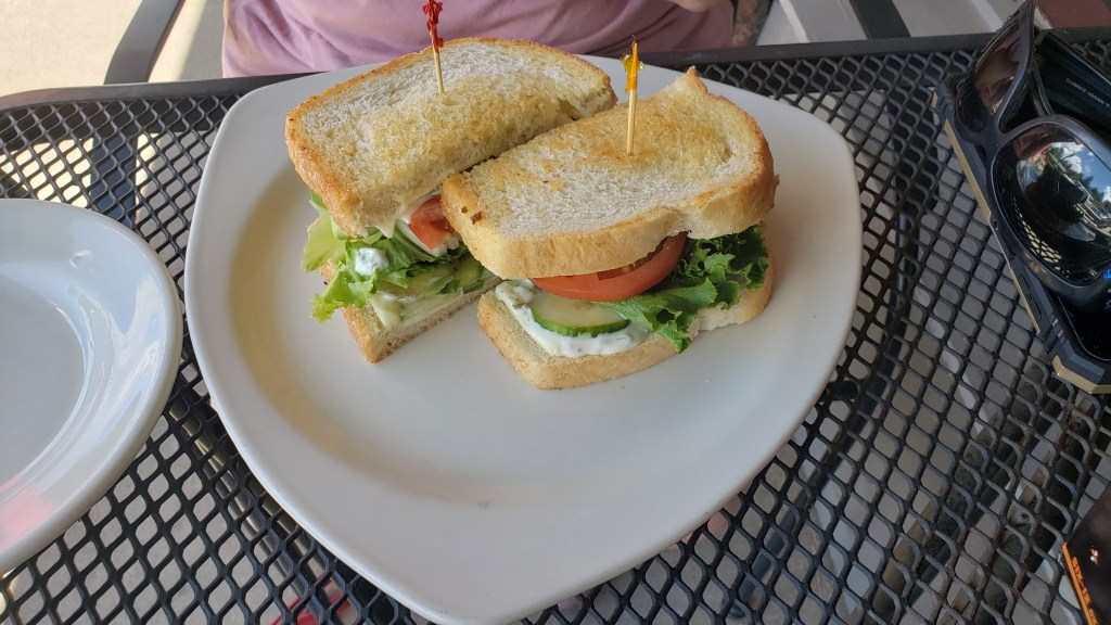
Susan had a vegetable sandwich.

Too big to eat, so it became “deconstructed”

Ruthie had to settle for water, and refused to look at us.

This isn’t at Molly B’s, but it’s exactly what she always does when there’s food around and she hasn’t had any. PS: She did get a spoonful of ice cream.

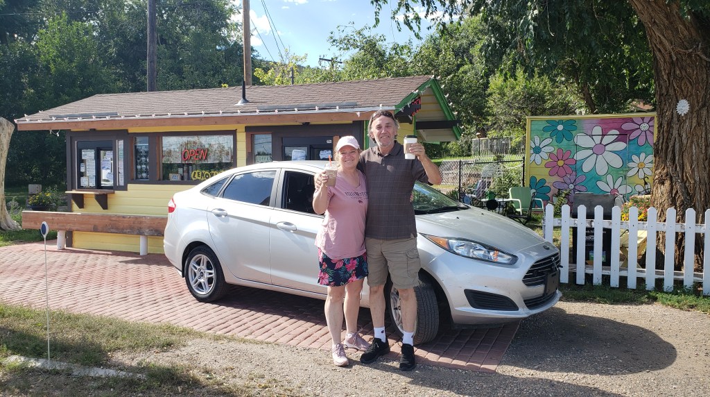
So much fresh air cleared most of the caffeine out of Simon’s bloodstream, so we stopped at the most adorable coffee shop we’ve ever seen. It was a drive through, or a walk-up, or whatever you wanted it to be, and we both ordered a Cherry Garcia coffee and chatted for quite some time with the shop’s owner, who offered to take our photo when we told her we’re travel writers. Isn’t life grand when you slow down and appreciate the quirky?


It was a three-hour drive back to Fati, and several times during the return trip we mentioned how happy we were to have checked Moose off our Bingo card, in a place so stupendous we struggle to find the words.