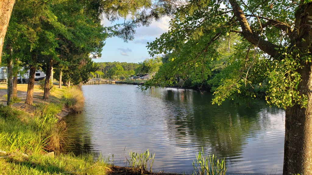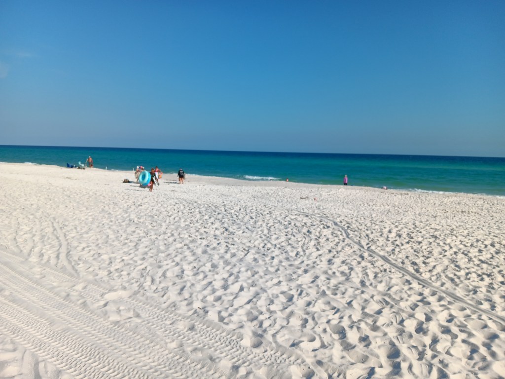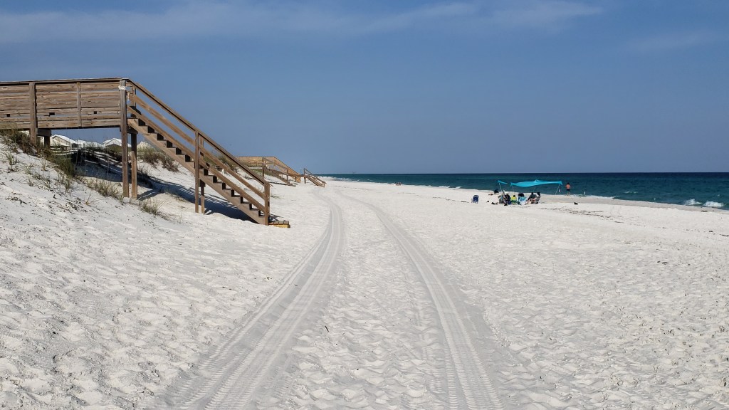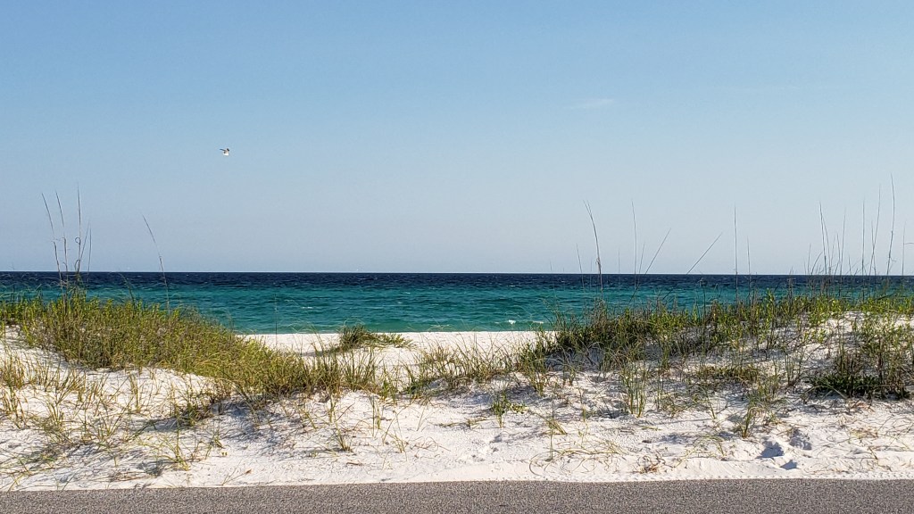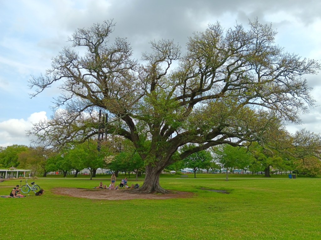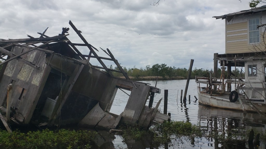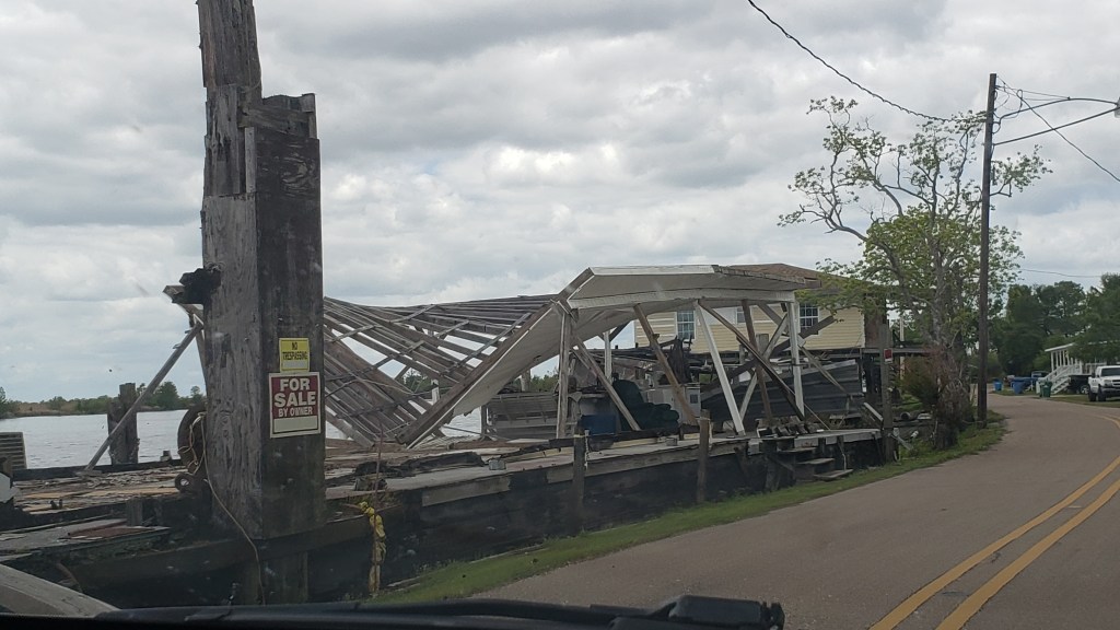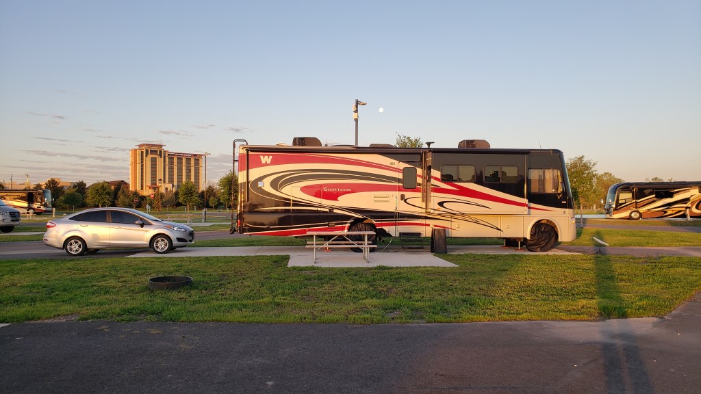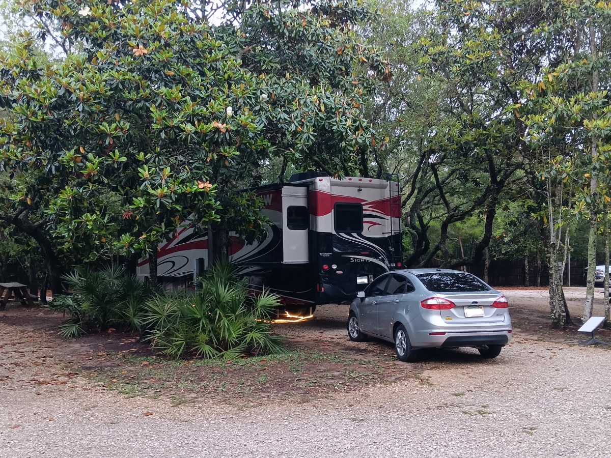
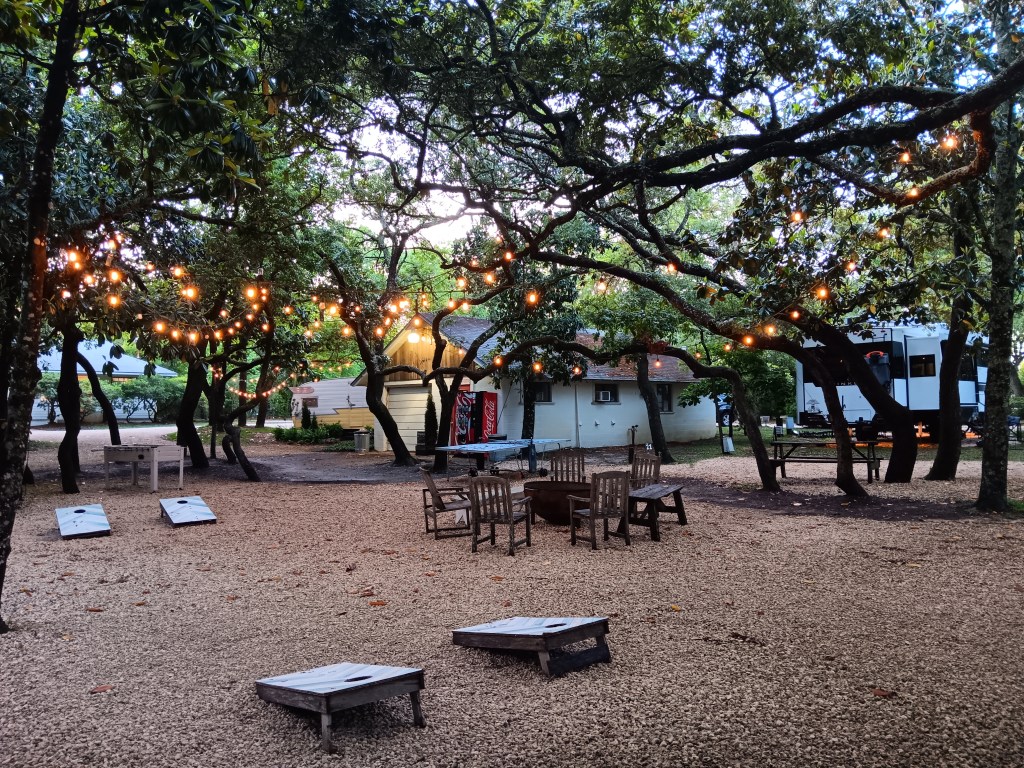
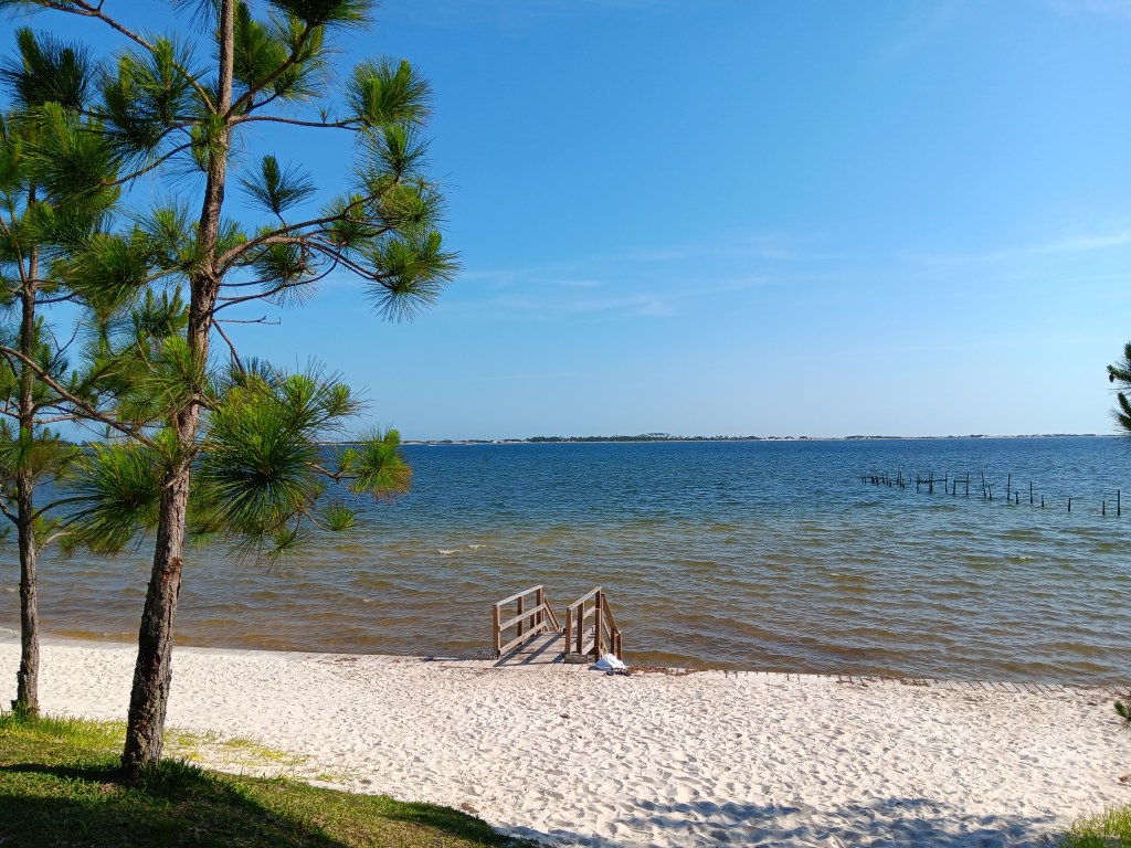
When is a campground only 29 miles away from your previous location but a million miles away from harsh reality? When it’s The Hideaway Retreat in Navarre, Florida, an oasis of magnolia trees, white sand beach, and the blue, blue, blue of the ocean.
Okay, so maybe it’s on the Santa Rosa Sound, not the ocean, but the effect is the same. A self-proclaimed “shabby chic” retreat that offers rare shade in the Sunshine State, the Hideaway scared us at first for its close-together trees, then proved to be far more straightforward than we imagined, and a gem of a place we’ll return to if we ever get the chance.
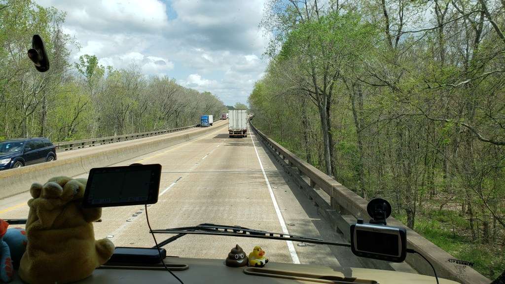
When you live in an RV, every noise matters. We know all of our noises, from the occasional hum of the fridge as it tries to freeze everything solid to the gentle click of the light switches and the metal “pop” as the slides or the jacks settle in during cold weather. But the muffled thumping we kept hearing eluded us. What the hell was it?
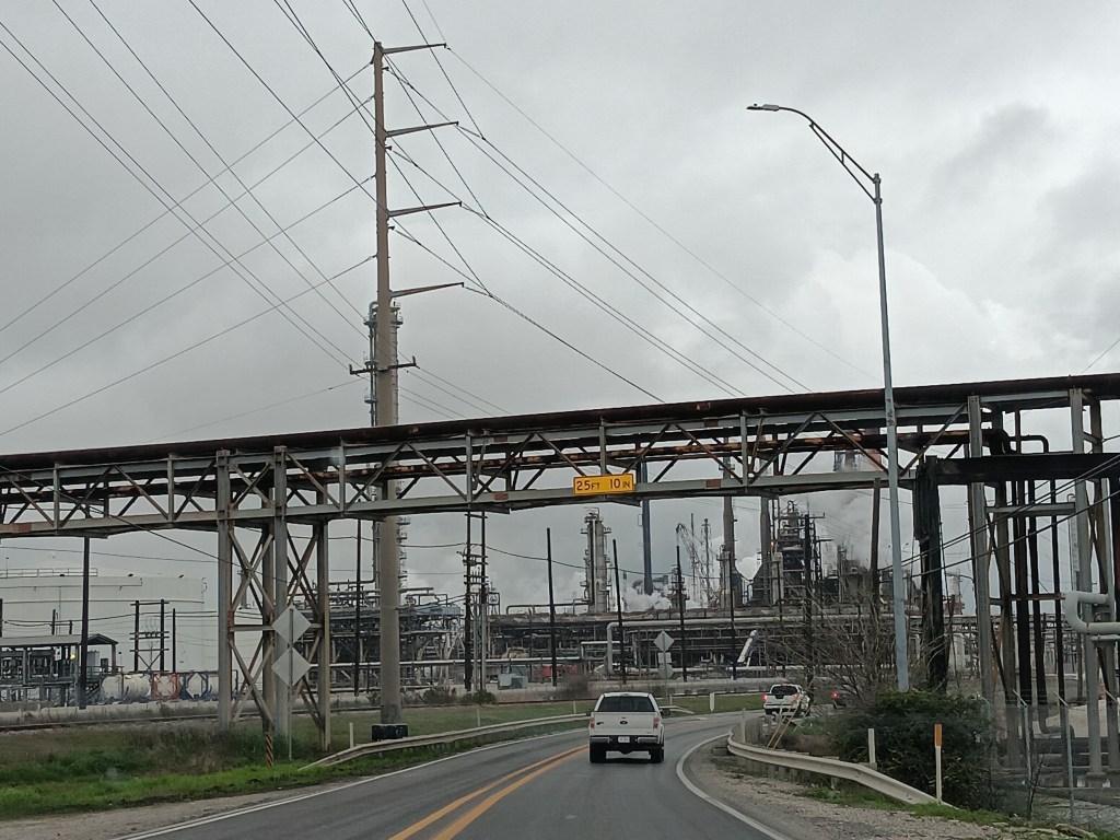
It drove us to distraction until we asked one of the staff and they told us it was testing that takes place at the Hurlburt Air Force Base Special Operations Command’s training grounds, just across the Sound. They’re blowing things up, but don’t worry; after a while you won’t hear it anymore. Which was (partly) true. It was simply one of those background noises that makes RVers (okay, us) wonder if something on their rig is eager to meet a mobile mechanic and will cost many, many hard-earned dollars.
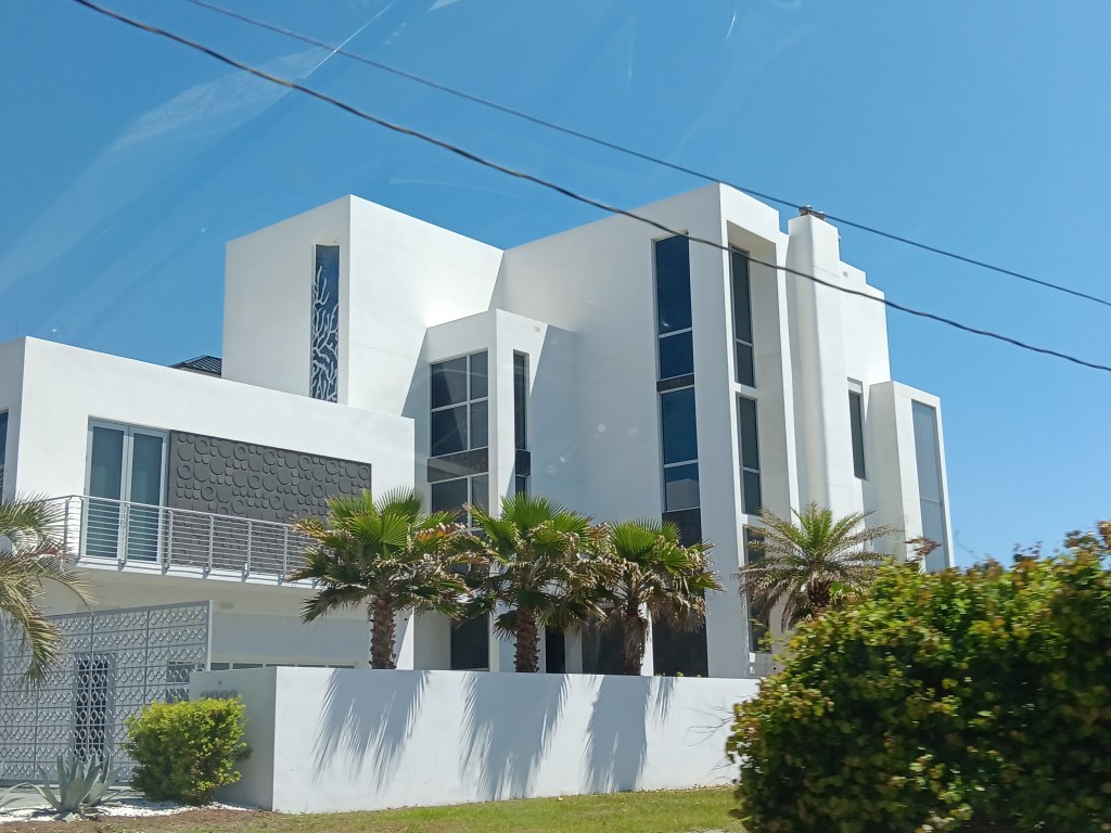
That problem solved, Simon had never seen the movie The Truman Show, but was aware Seaside, Florida, not far away, was the setting for the fictional town of Seahaven, so we had a drive along the coast the next day with that town as our goal. When we arrived, we couldn’t escape the feeling that it was very much like the formerly-Disney-owned town of Celebration, which some say looks like a Normal Rockwell painting and others say is more along the lines of The Stepford Wives.
Unfair movie comparisons aside, Seaside clearly has money. It also has a lot of community amenities, including an intriguing area featuring permanent kiosks and food trucks that would have been perfect for lunch.
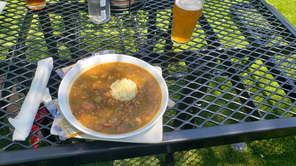
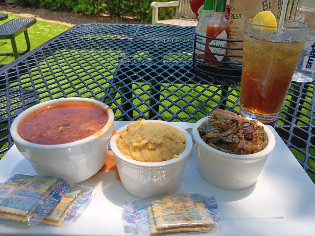
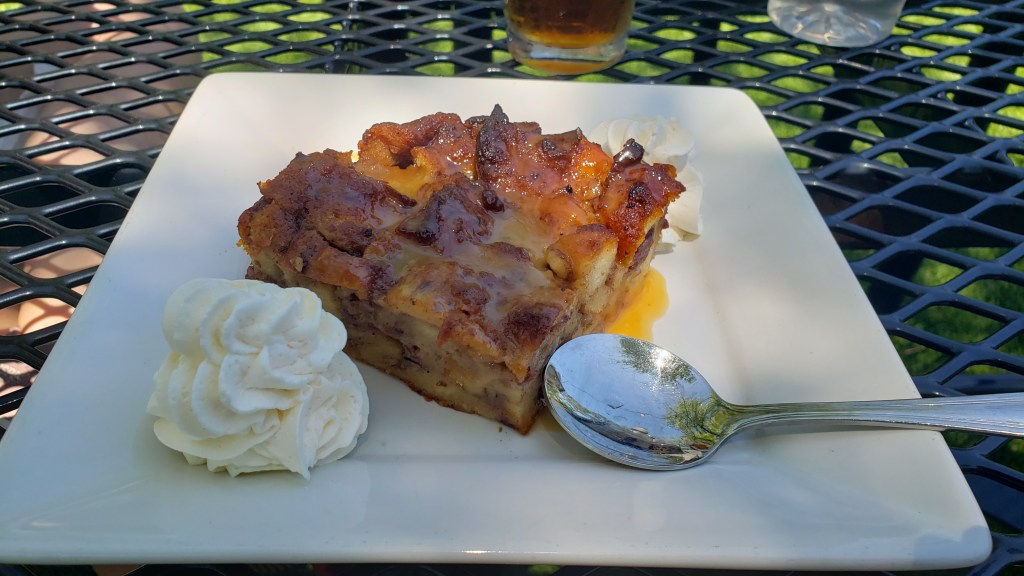
But we’d already eaten, having stopped at Beach Camp Brewpub, not realizing Seaside was so close. Still, Simon had a huge bowl of gumbo and a beer, Susan went for a cup of Brunswick Stew and iced tea, and we split sides of cheese grits and collard greens, all of which were delicious. Simon being Simon, Sticky Toffee Bread Pudding rounded off a fine meal.
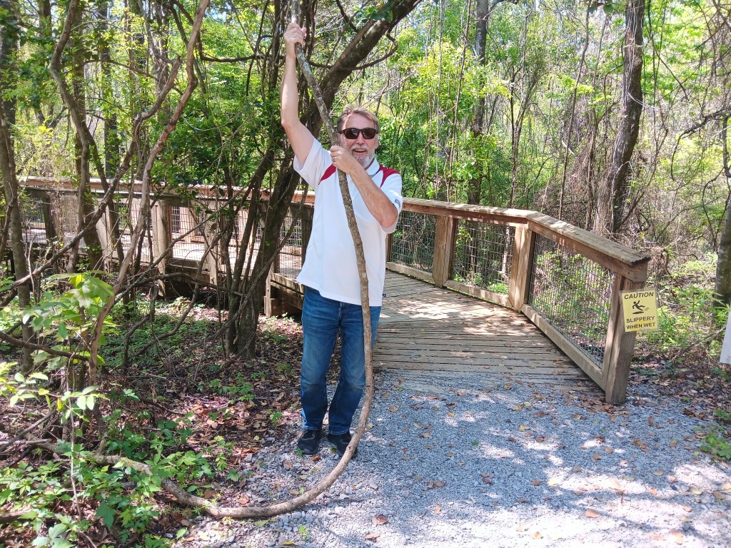
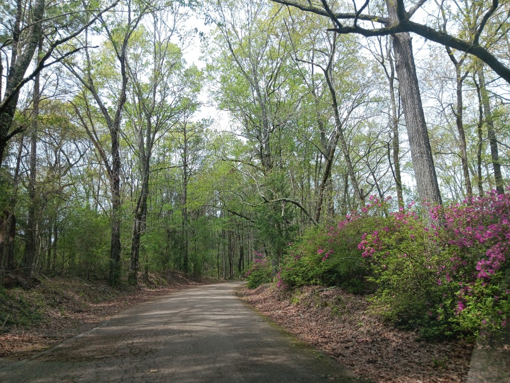
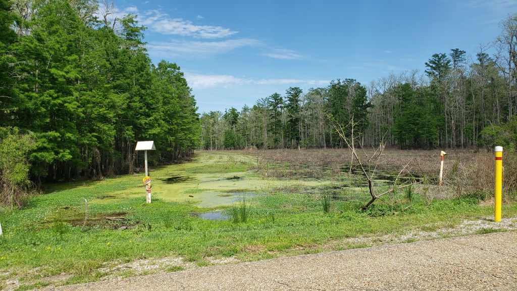
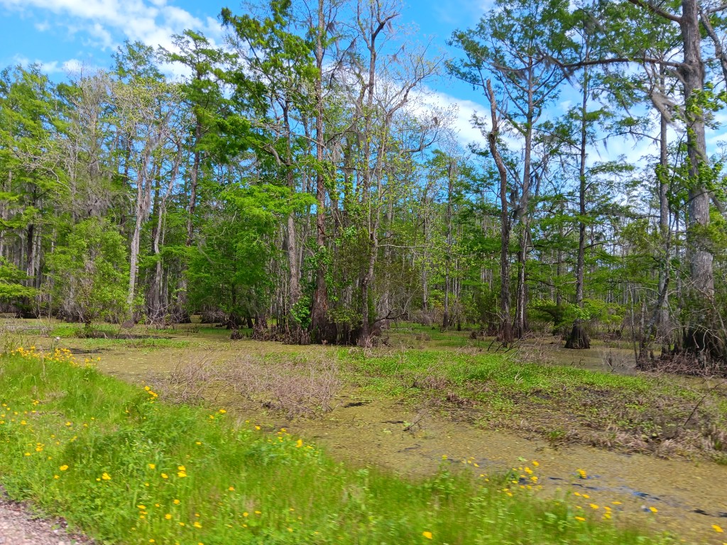
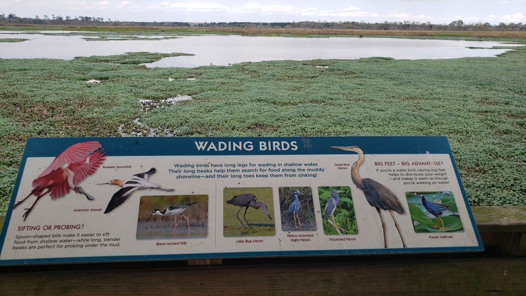
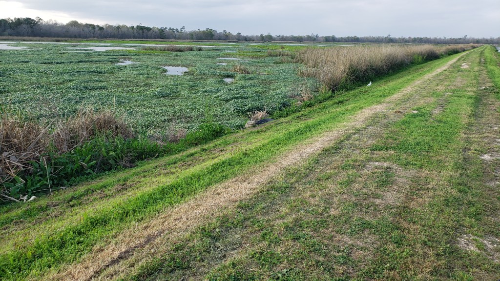
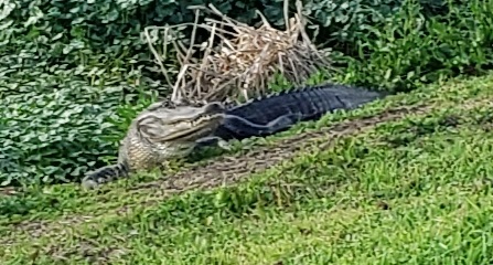
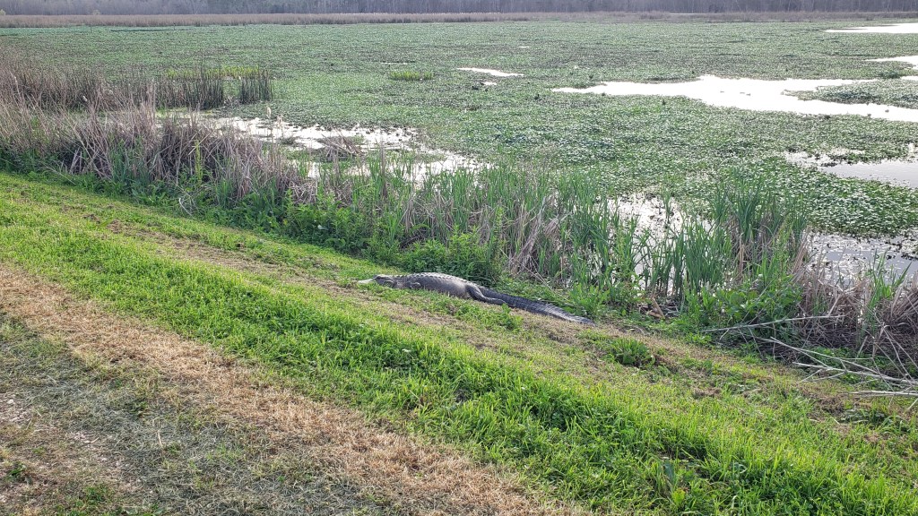
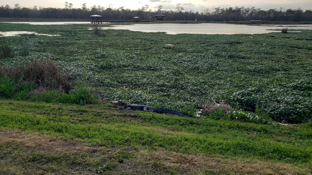
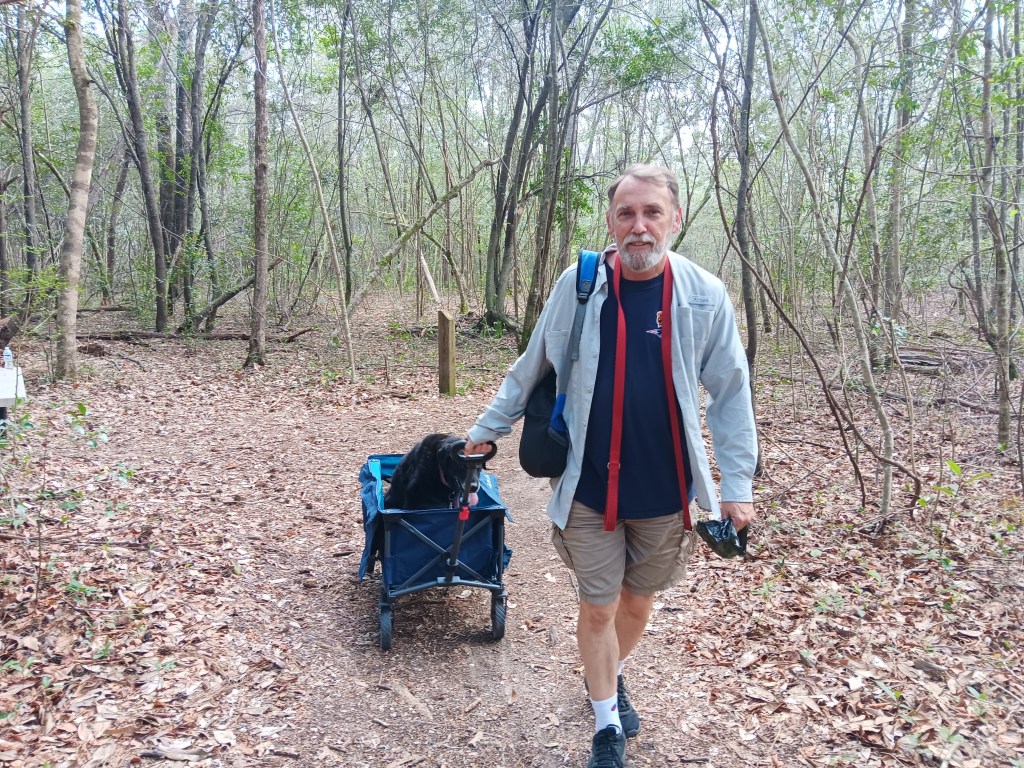
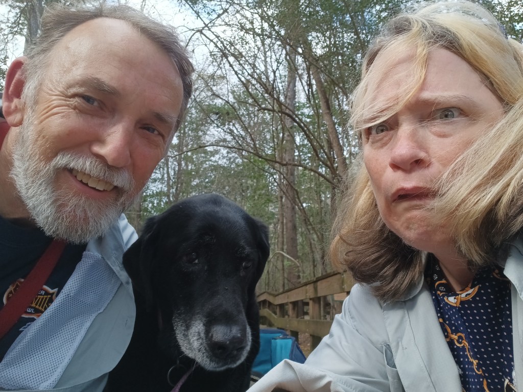
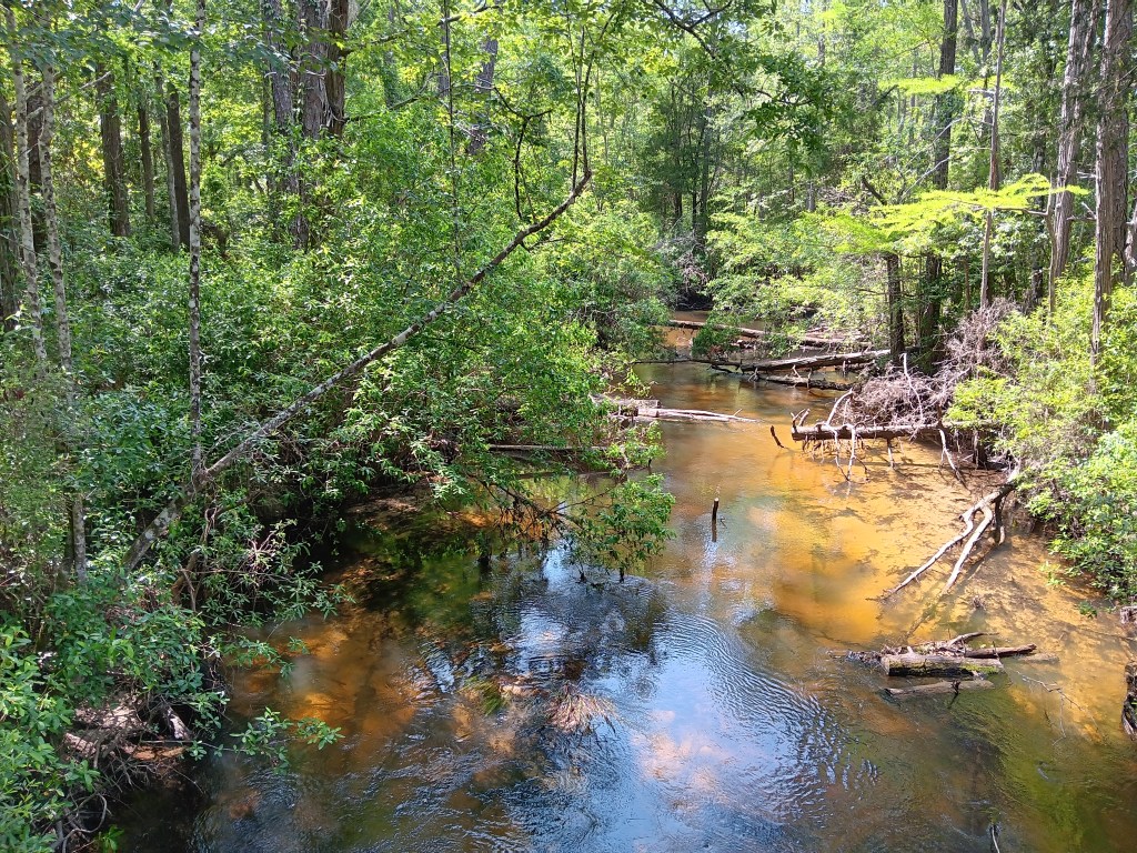
The next day we had hiking and a boat tour on our radar, for a bit of exercise and the chance to get out on the water. Arcadia Mill has a three-quarter-mile-long, dog-friendly boardwalk through what was once antebellum Florida’s first water-powered industrial complex. Very little remains of that logging endeavor, other than a few ruins of retaining walls, but it’s a gorgeous walk through the forest, with peaceful streams running languidly across our path. True balm for the soul.

We started the adventure with a little picnic of sandwiches, carrots, and fruit, then did the full loop, with Ruthie making the trek in her wagon.

After consulting her vet about the more advanced laryngeal paralysis our pup is experiencing, walks are now out of the question for her, but she seems to appreciate getting around comfortably when the path isn’t too bumpy.

The boat tour? Well, that didn’t really work out. Simon wanted to “drop by” and find out more about it, but when we arrived it was someone’s house. No one came out when we pulled into the driveway. It all got very awkward, with shades of our horrible coffee debacle in Leiter, Wyoming, so we backed out and agreed we’d better call first.
While we couldn’t go boating (renting is cost-prohibitive here), we did take time to head down to the Destin marina for a view of the famous Crab Island. It was once a real “island” in the North Channel, but much of it washed away, and now it’s a massive sand bar with four-foot-deep water, making it an ideal spot for boaters who want to chill out or party.
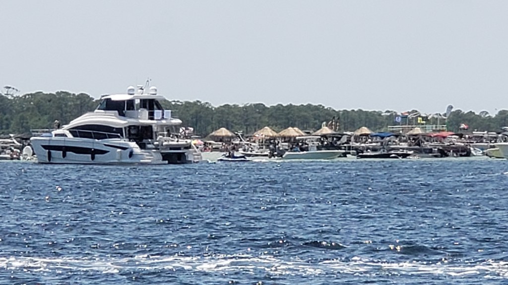
We could see it well from the marina, but had an even better view as we crossed over the William T. Marler Bridge (Highway 98). It was jam-packed on that sunny Friday afternoon, with weather in the high 80s, and we imagine it’s shoulder-to-shoulder and boat-to-boat in high summer.
Those with a keen eye will have noticed the floating tiki huts. During busy times, mobile food and drink boats (not you, alcohol) putter out to the island and offer their wares. This little shaved ice and ice cream boat was just coming back to the mainland for refills.

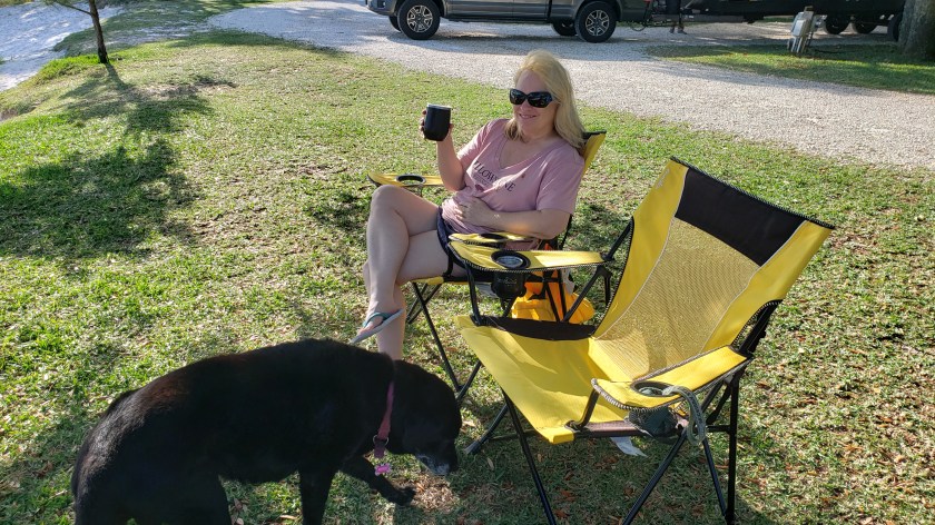
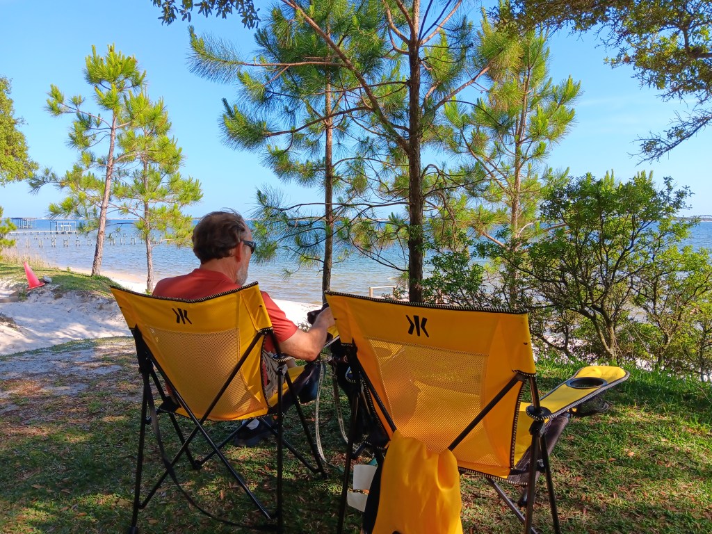
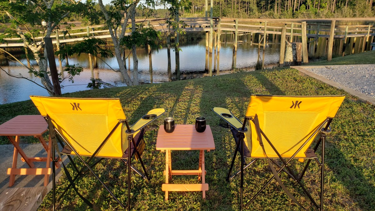
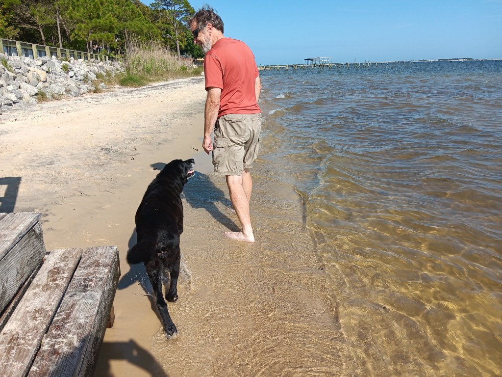
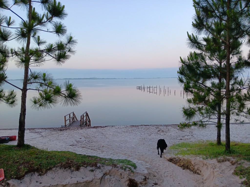
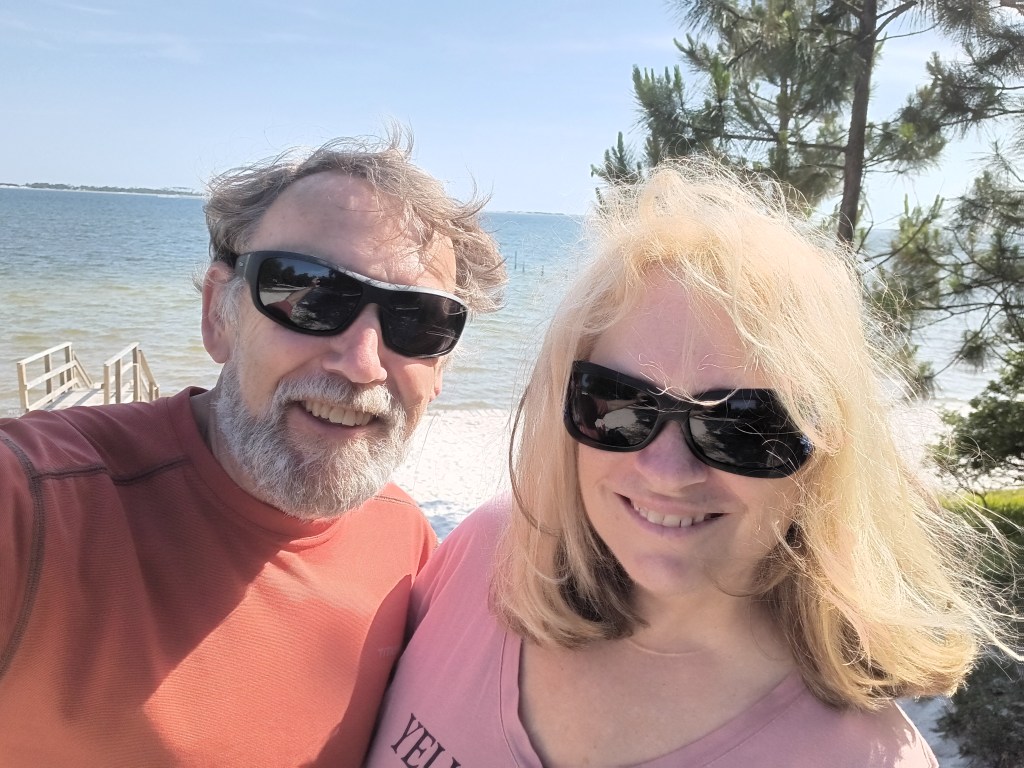
But possibly the best thing we did in Navarre was hang out near the beach at our campground, eating ice cream, having a drink, and watching through our binoculars as boats went by. Only a few times during this trip have we just kicked back and acted like real campers. We could get used to it.