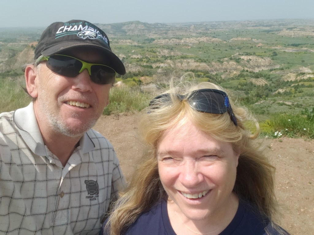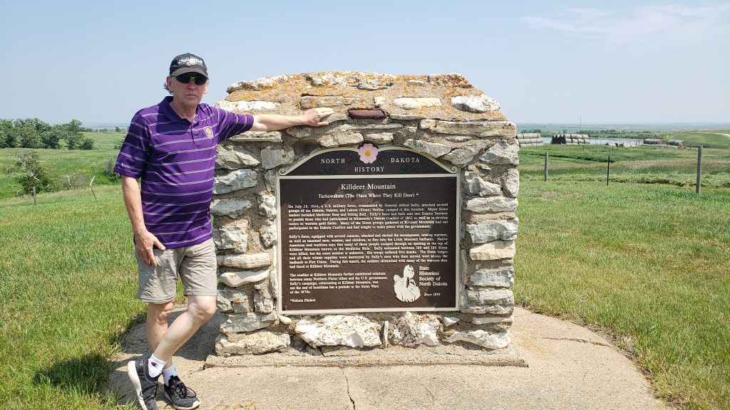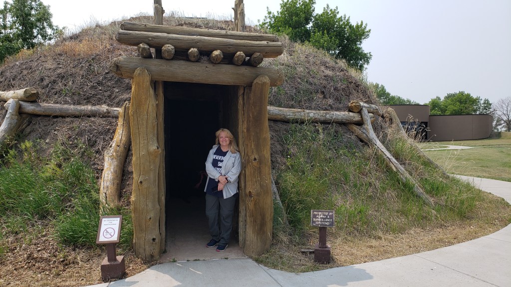
Sometimes you have to make hard choices. While there are times when you have to take a leap of faith, our decisions over the next few days would be based on both local knowledge and hard-earned first-hand reconnaissance.
Billings, Montana was supposed to be our next stop, but since we were running a day late we pushed on to Columbus, which we planned to use as a base from which to see the Pryor Mountain wild horses, Devil’s Canyon Overlook, Cody, Beartooth Pass, and Chief Joseph Scenic Byway.
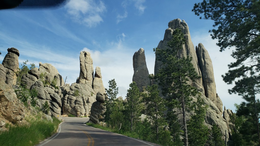
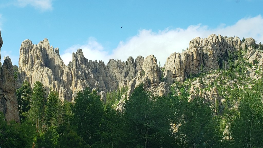
We ruled out Pryor Mountain, a 204 mile round-trip in Nippy that sounded long but oh-so-scenic from the comfort of our house when we were making plans, but sounded truly awful when reality hit, then ruled out Beartooth Pass when it became obvious the sharp drop-offs, cliffside driving without barriers, and the sheer terror of it all were going to do Susan’s head in. Instead, we opted for the still-very-high-up Chief Joseph Scenic Byway, which gave us plenty of spectacular views without the threat of death.
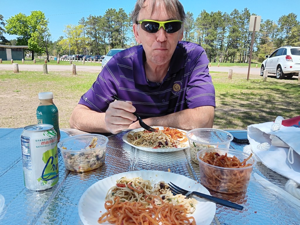
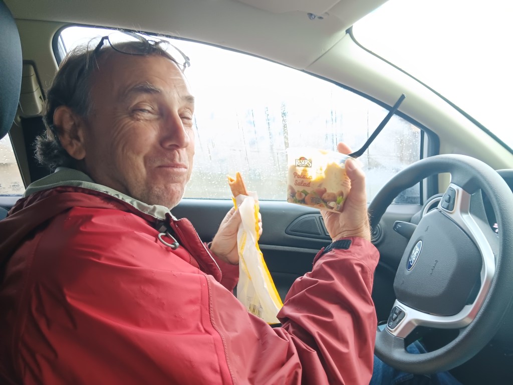
A quick stop in Absarokee’s little downtown market for a bite of take-away lunch (two pizza sticks for Simon, one chicken strip for Susan, and a pot of potato salad to split) gave us the fuel needed to start ascending the mountain to Red Lodge, Montana, which bills itself as “The Gateway to Yellowstone Park.”
And it is a gateway…if you’re willing to brave the Beartooth Highway, a 69-mile twisting, turning, sharp-drop-off road that tops out at 10,947 feet (that’s 3,337 meters for our UK friends).
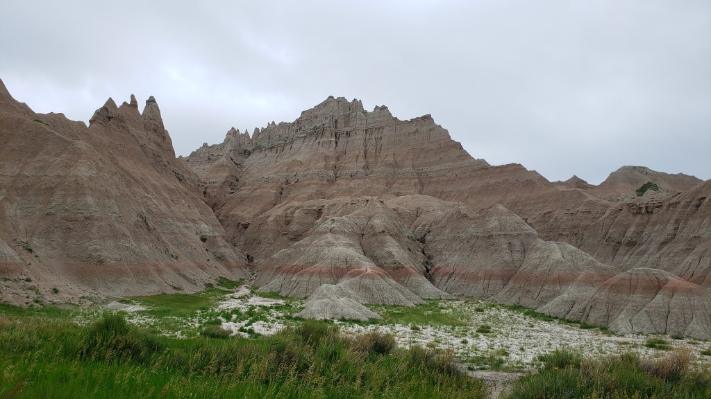
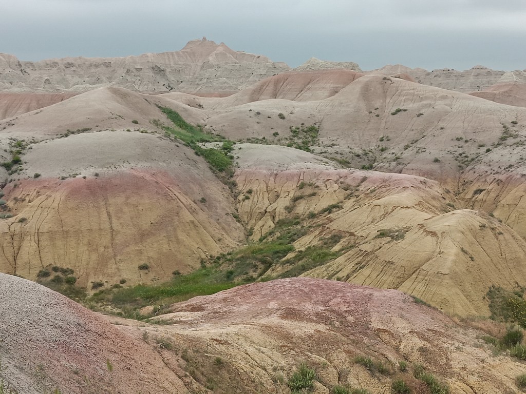
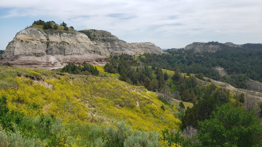
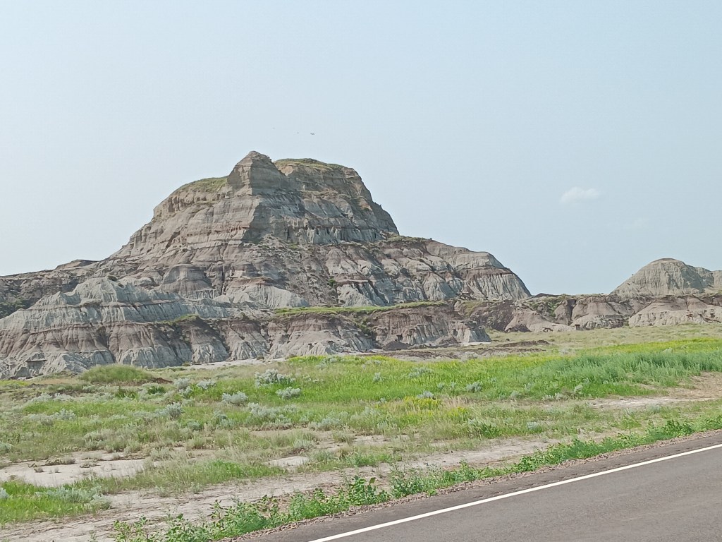
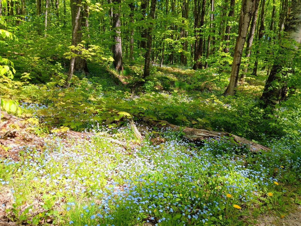
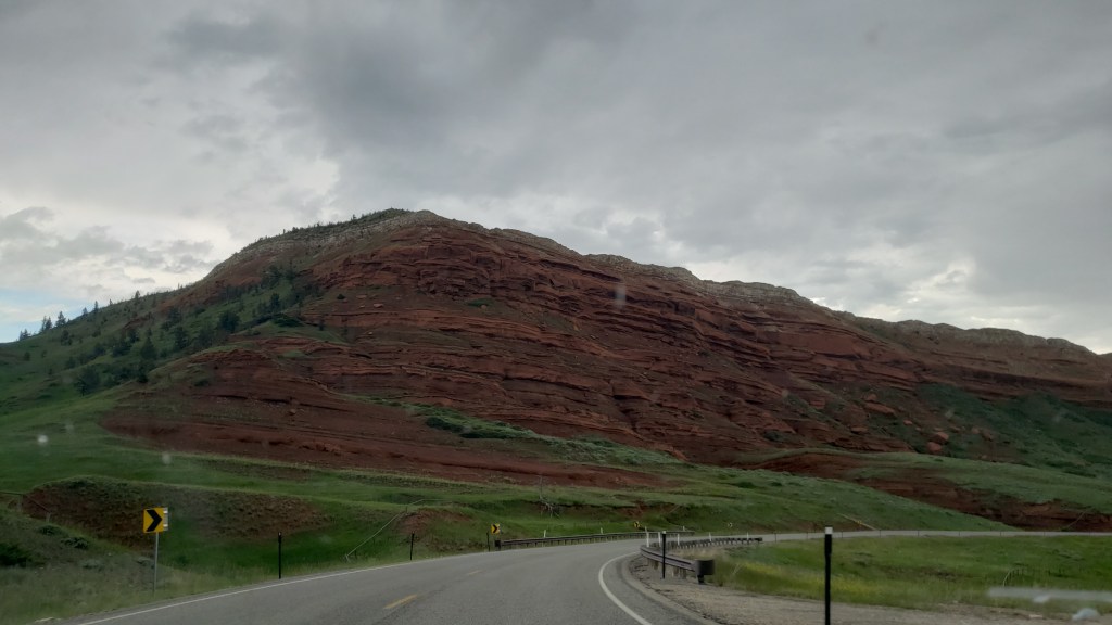
The trip to Red Lodge offered yet more rolling landscape dotted with green hills that led to sharp, craggy rock, and while the weather over the Beartooth mountains threatened a bit of rain, we only had a few spotty showers.

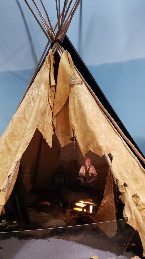
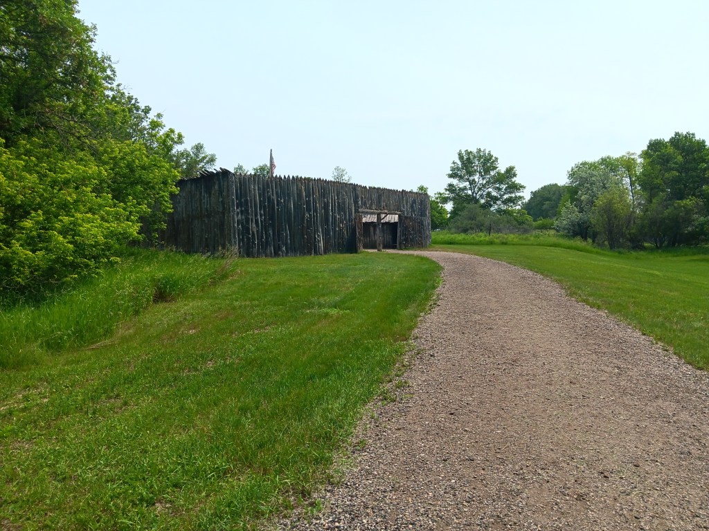
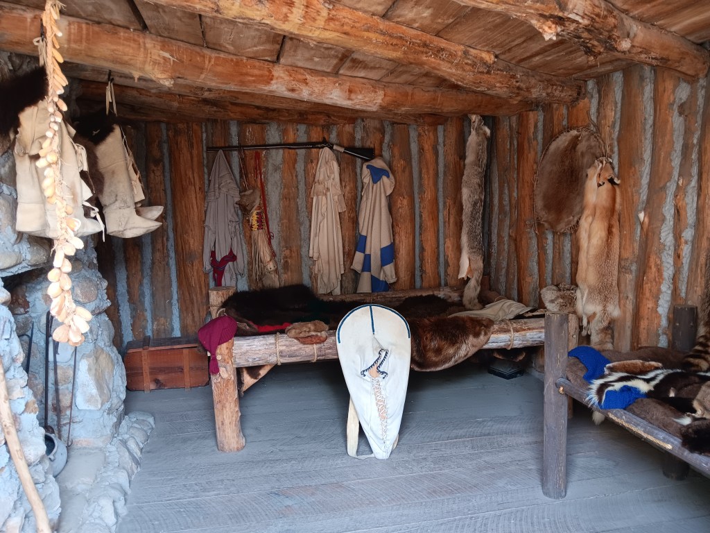
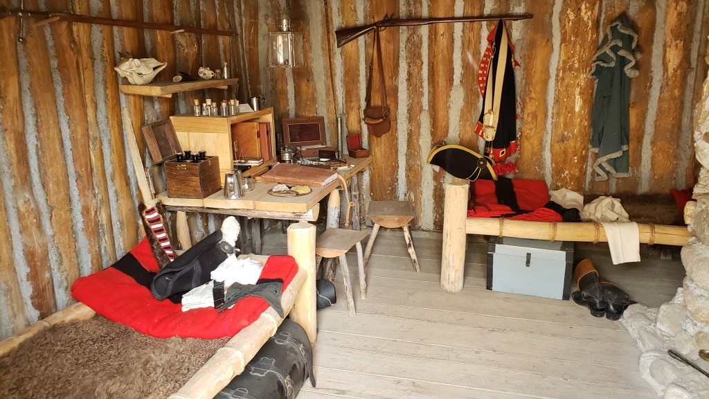
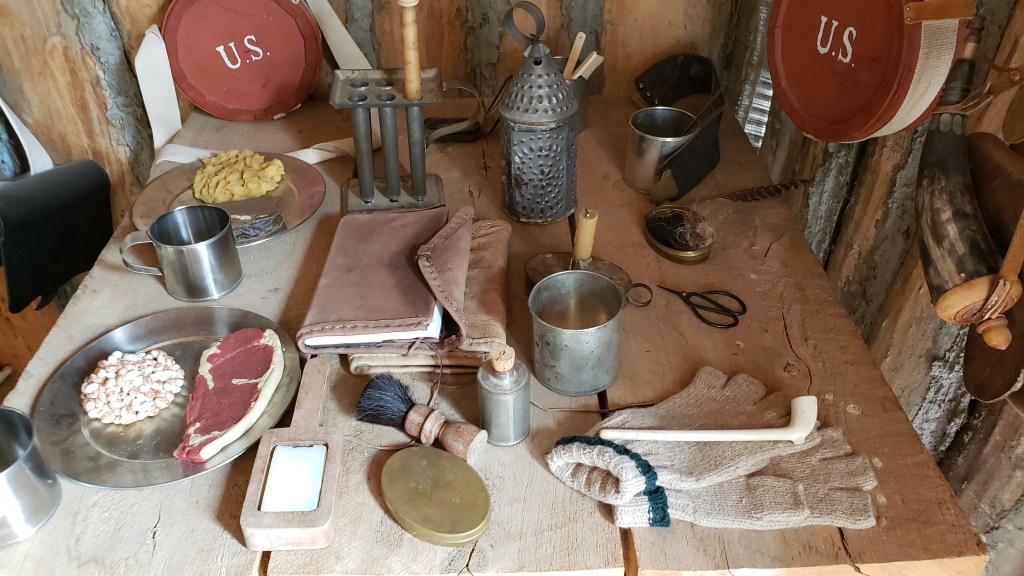
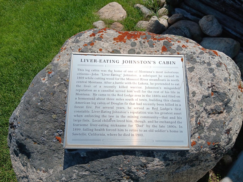
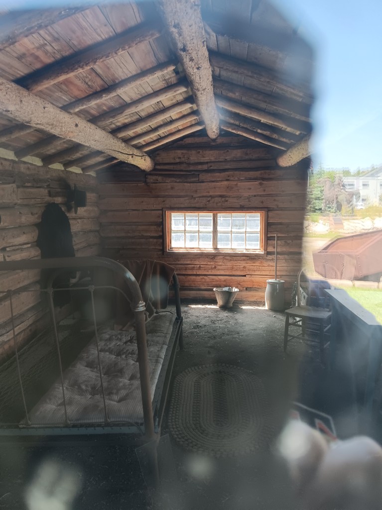
We stopped at the Visitor Center, which included a one-room cabin once owned by Liver Eating Johnston. There were people then and are people now who can live and thrive in a dirt-floor cabin, but we aren’t among them.
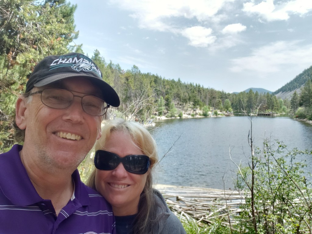
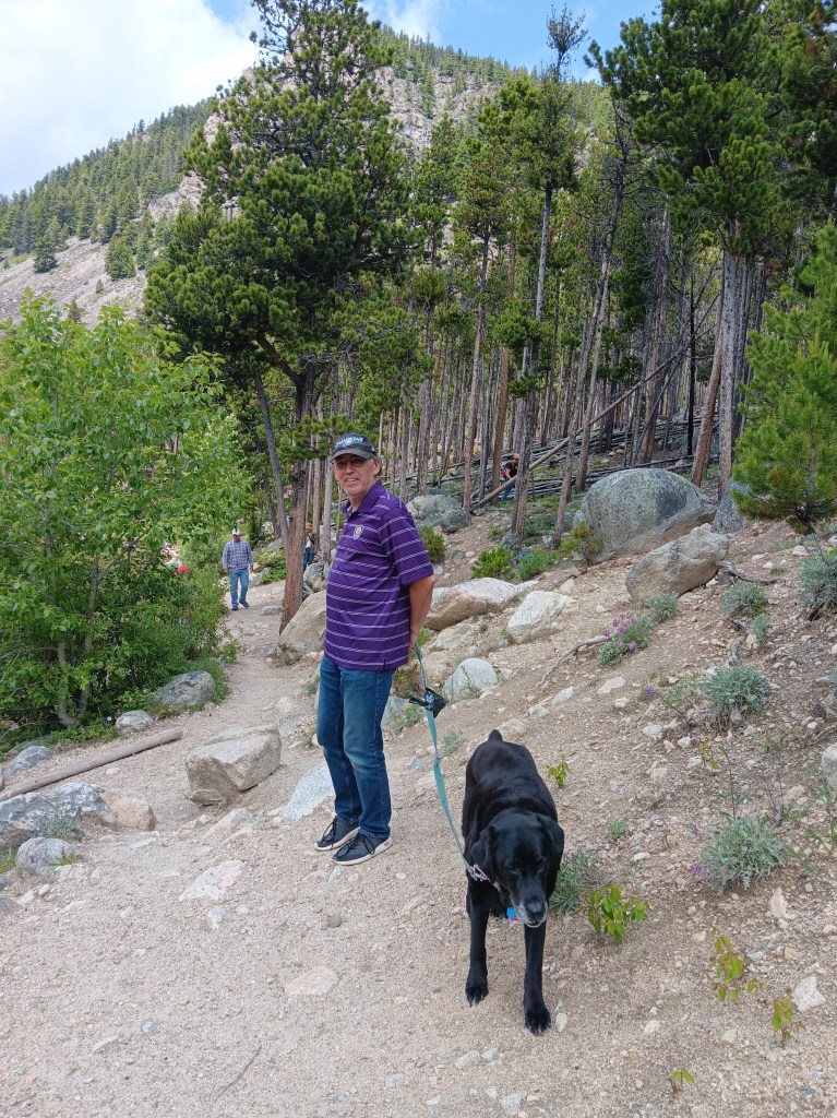
The Visitor Center host suggested we take a drive to Wild Bill Lake for a one-mile hike, then head up the Chief Joseph Scenic Byway, an alternative to the Beartooth Highway. The hike was a terrific suggestion, and we thoroughly enjoyed our walk, as did Ruthie, who got lots of love and attention from kids fishing along the lake.

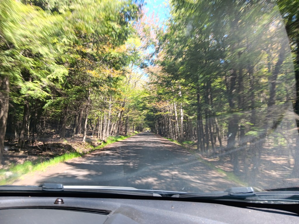
Now, we’d been assured the Chief Joesph was tame, but over the course of the next week or so we’d learn that “tame” in Montana and Wyoming is not the same as “tame” in Michigan, Florida, or the UK. We would also learn that “rolling hills” mean something entirely different, too (steep grades both up and down, in quick succession).
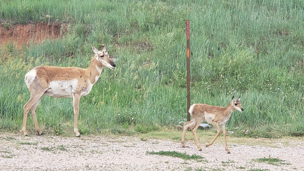
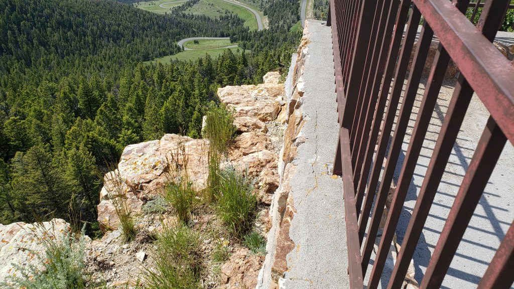
None of that mattered as we wound up the mountainside, stopping at markers for the likes of Bear Creek Hill and Dead Indian Pass (elevation 8,000 feet). Naturally, Simon had to find the most precarious place on the whole mountain to lean out and peek over the edge, while Susan very sensibly waited in the car.
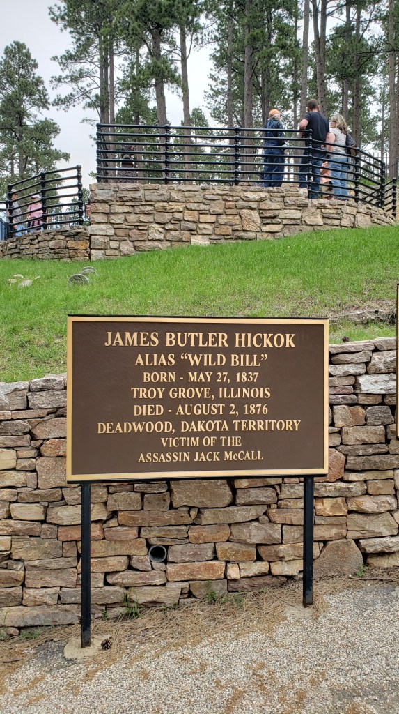
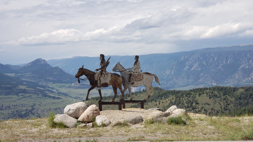
A marker at the summit tells the story of 600 members of the Nez Perce tribe, led by Lean Elk and Chief Joseph, who used the pass to escape the U.S. Army in 1877. At this point in their retreat, they were forced to leave an injured warrior, who was subsequently killed by U.S. scouts.

The byway eventually hooks up with the Beartooth Highway, so we retraced our route for the return trip and veered off at WY-120 heading to Cody, just 18 miles away.
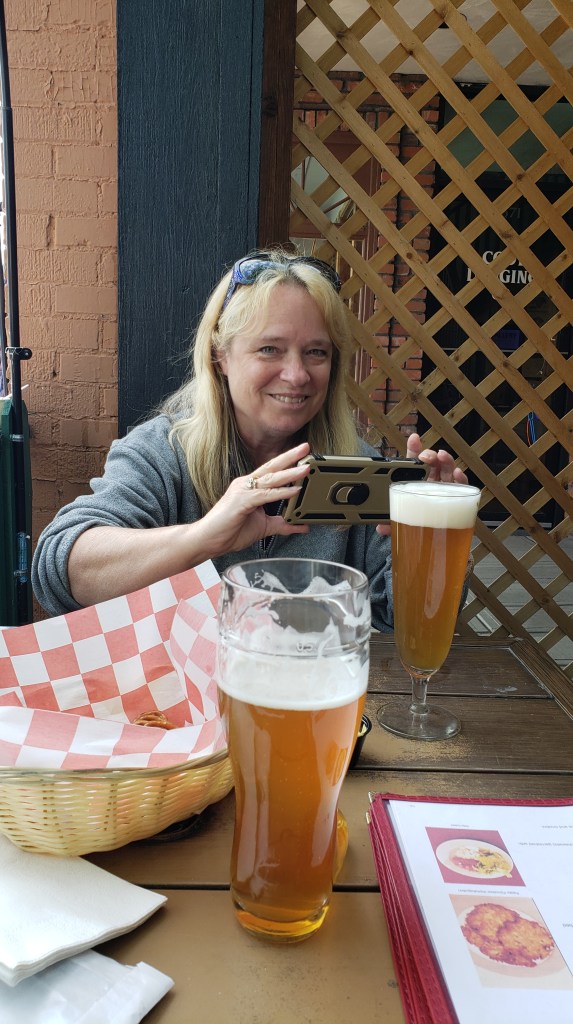
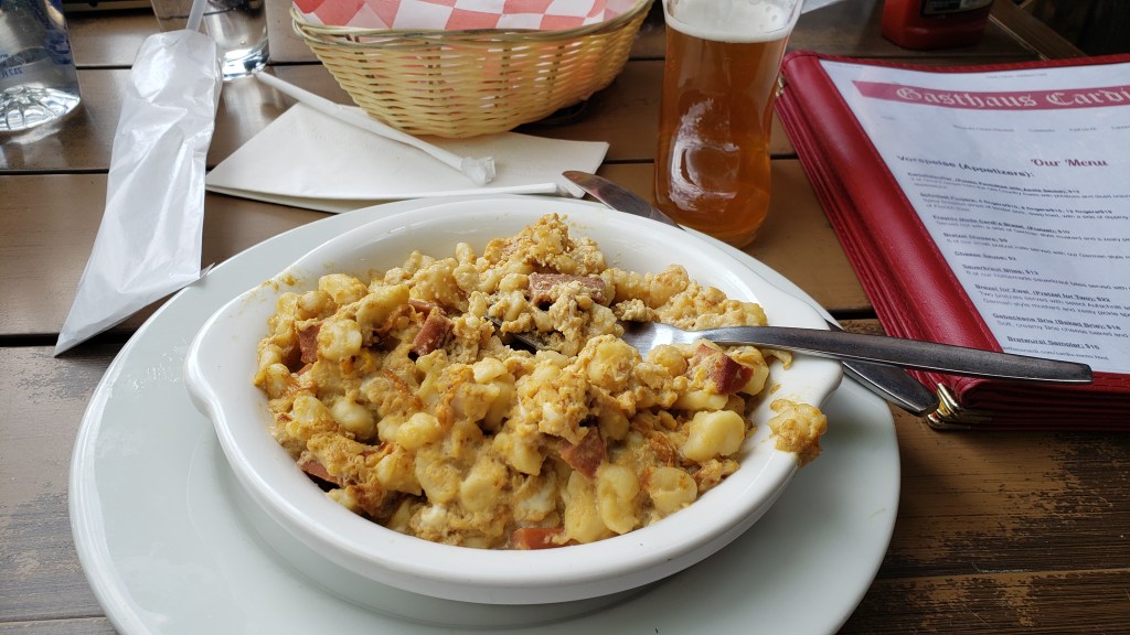
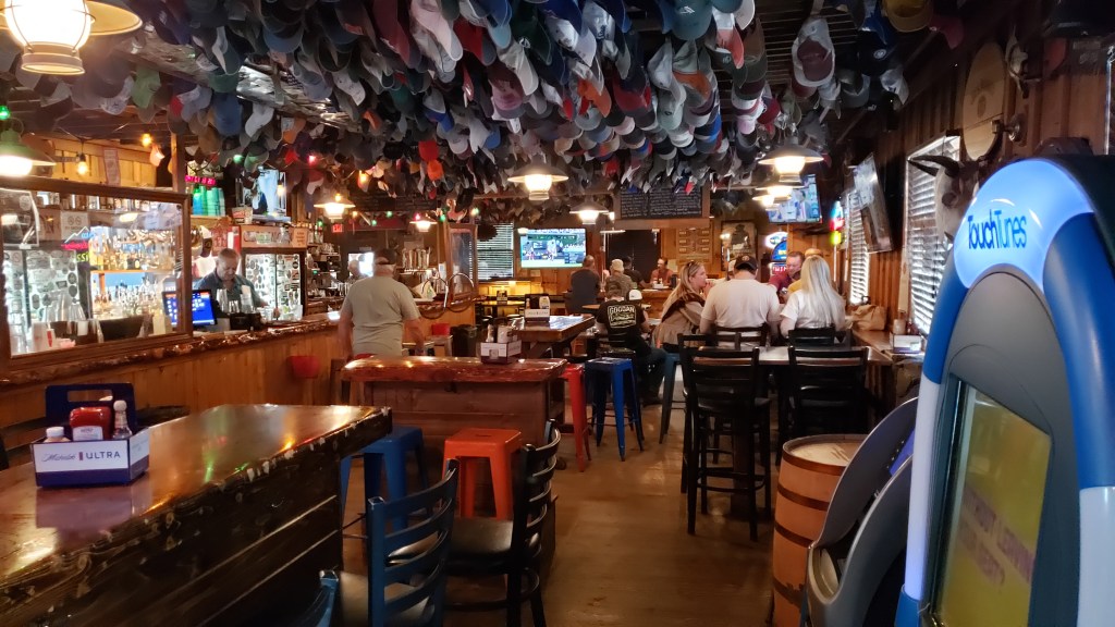
Cody was busy, as we’d expected, and, inexplicably, with thoughts of a big, juicy Wyoming steak on our minds, we ended up at a German restaurant eating a kid’s portion of schnitzel and some sort of noodle dish with eggs and cheese. They were out of nearly all of their interesting beers, so we ended up with brews neither of us can remember. Life is funny sometimes.

Fati took us to Livingston the next day, which served the dual purpose of getting us closer to Yellowstone National Park while also giving us the opportunity to decide on our best route to the West Yellowstone entrance through real-life experience. We could take Highway 191 from Bozeman, or, as had been suggested by the campground host, take the longer route down the 287 through Ennis. Our trusty Mountain Directory West showed 191 as the better route, but was local knowledge the real story?
The next morning we took advantage of the opportunity to do some sightseeing south of the city, heading to Chico Hot Springs. It was probably just an excuse to get so close to the Gardiner entry into Yellowstone that we couldn’t pass it up and would have to pop in for a look.
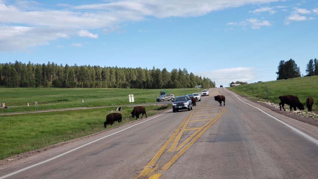
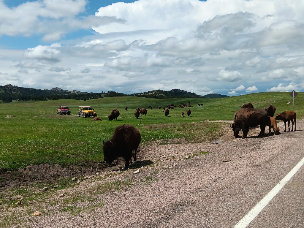
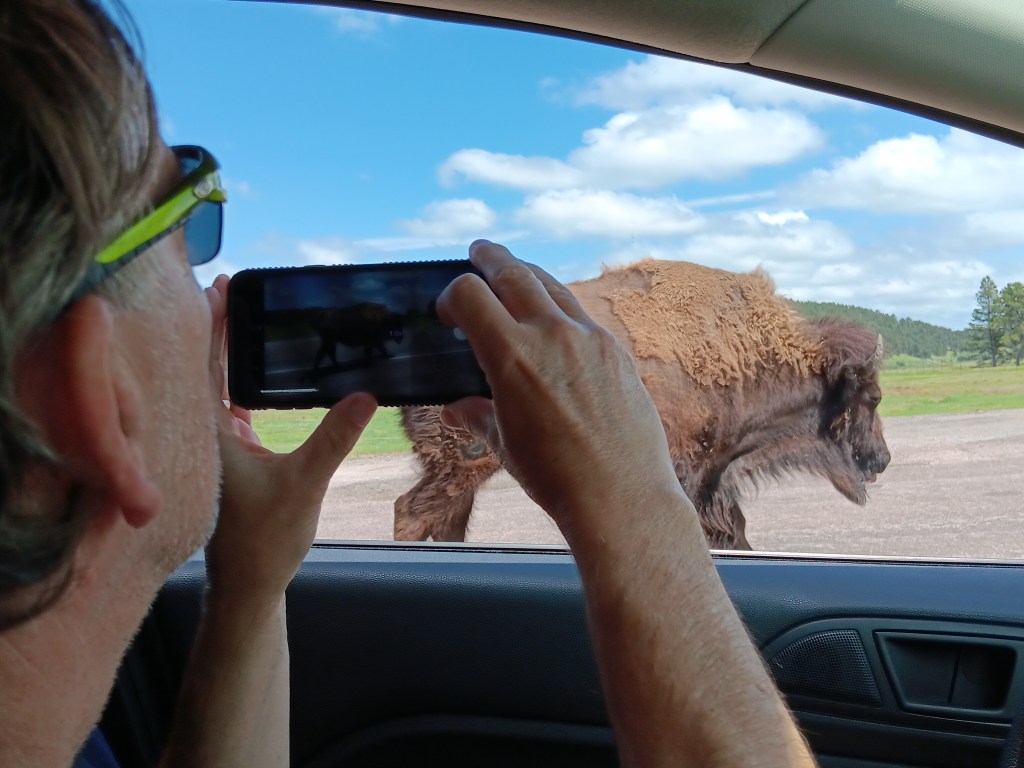
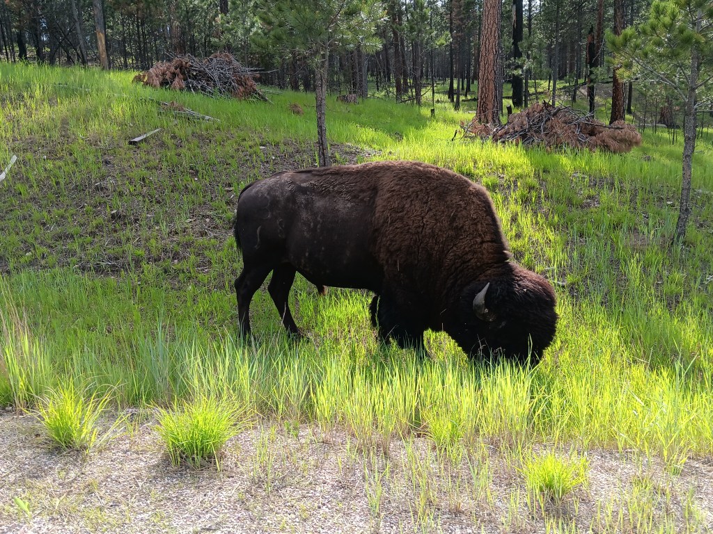
We’d been to Yellowstone before, and remembered the road from Gardiner into the park as being steep but nothing to bat an eye at in a car. In fact, it had been the only place we’d seen mountain goats the last time we were there, and we hoped to repeat that experience. What we hadn’t realized was, the road has been rebuilt in a new location since the flooding last year that washed out several roads in Yellowstone. Now it has such steep grades and such tight turns, even some of the park rangers would later tell us they preferred not to use it. We have no photos of this part of the journey, since Simon was gripping the steering wheel and Susan was white-knuckling Nippy’s armrests.
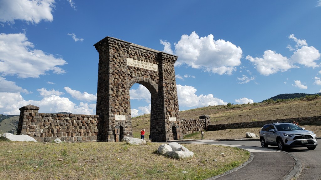
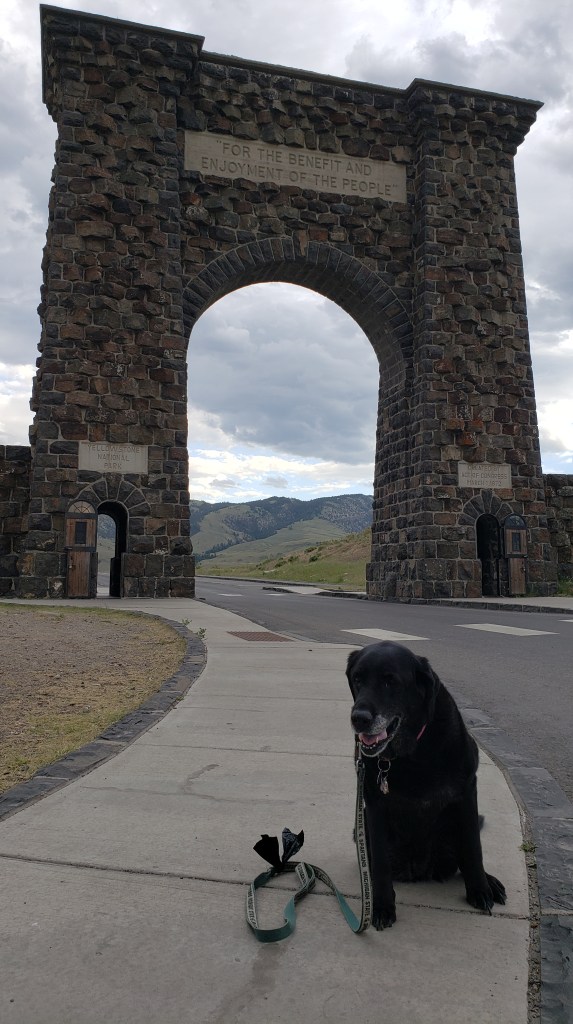
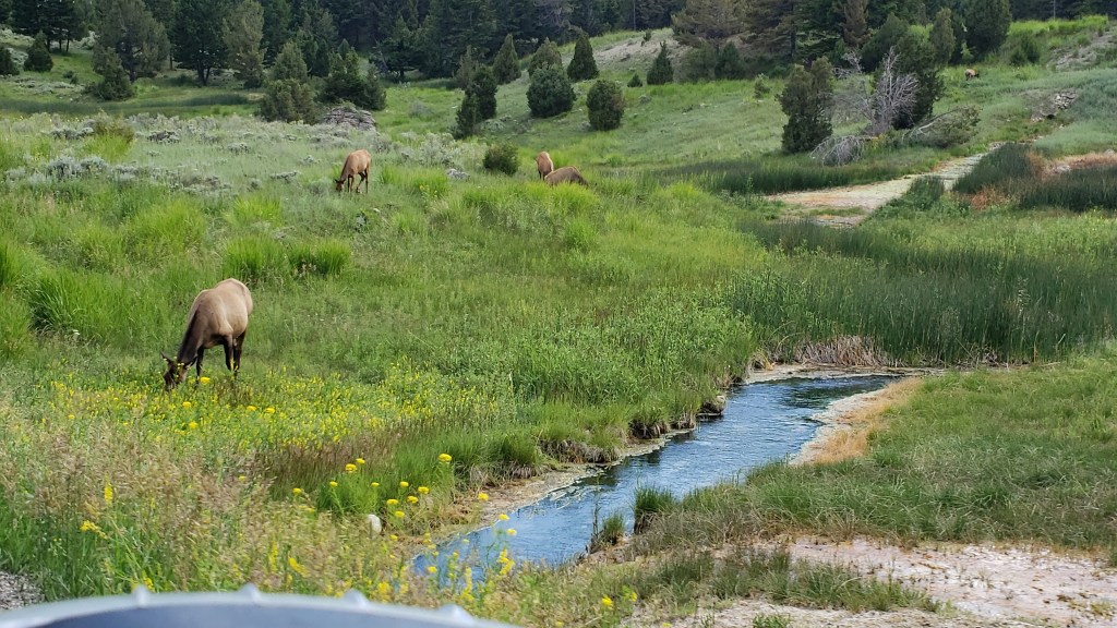
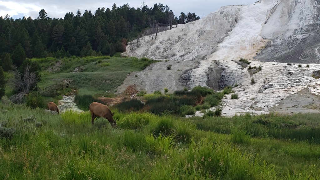
We were blissfully unaware of what lay ahead as we played around taking photos in front of the famous Arch, and when we did make the arduous climb up to Mammoth Hot Springs – punctuated by a few straggler elk – we were hugely relieved to reach the top, and not at all eager to make the trip back down.

Still, there was no other choice, so down we went when we’d finished our nice little drive to view Mammoth’s glimmering travertine formations.

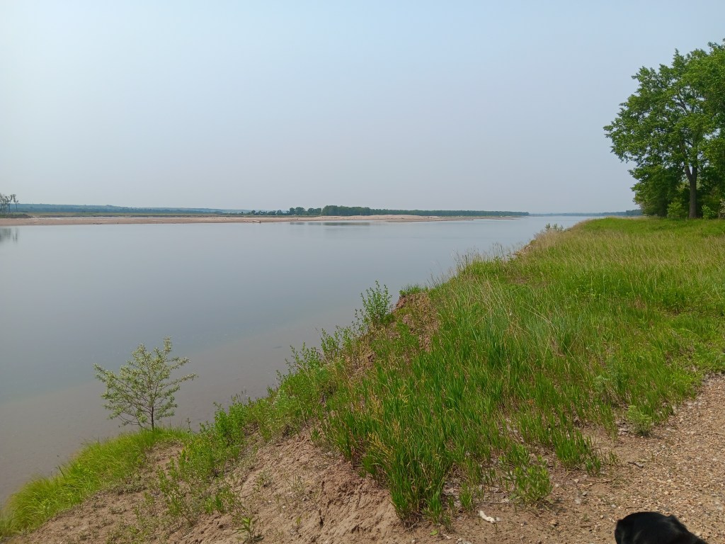
The next day, the 191 wound us through a valley in Gallatin National Forest and along the Gallatin River in Nippy, giving us the lay of the land. Simon was just slightly apprehensive about the drive when we’d have to make it with Fati, because of its sharp curves and very few passing lanes long enough for us to pull over and let other vehicles go by. Big benefit? No major grades. And what a road it turned out to be!
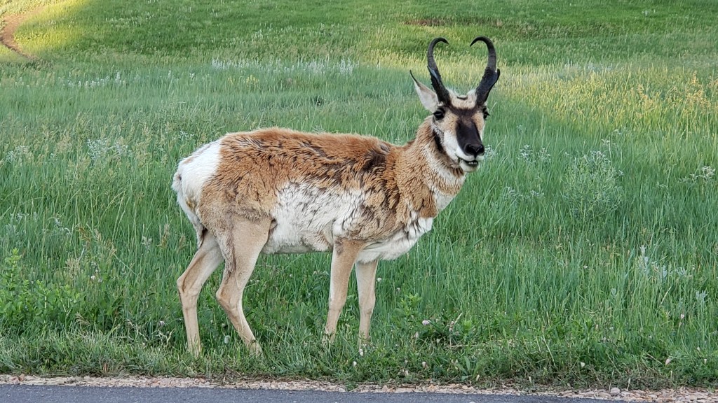
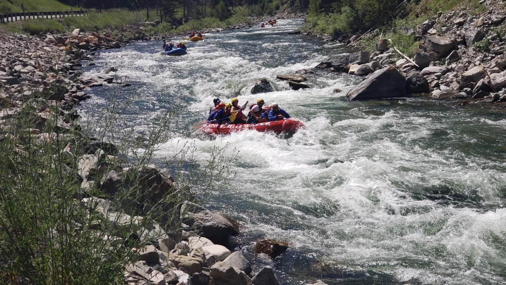
Every curve offered a view more superb than the next, and often we had river rafting tours and people out fly fishing alongside us.

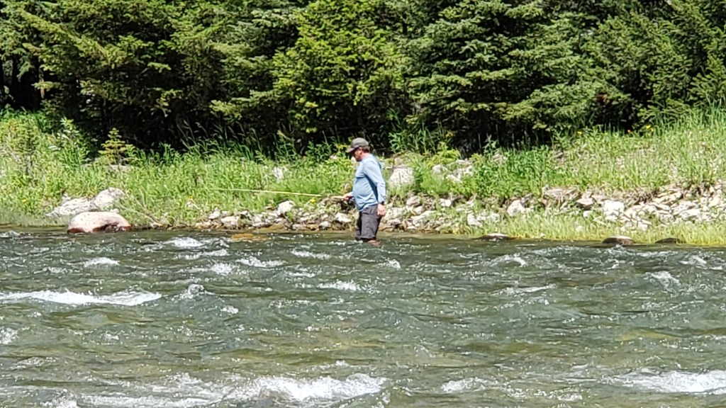
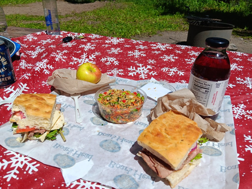
We stopped for a peaceful picnic lunch along the riverside, where four fishermen were grilling whatever it was they’d caught. The scent of pine trees made it an idyllic setting, and we spent a fair bit of time enjoying the serenity.
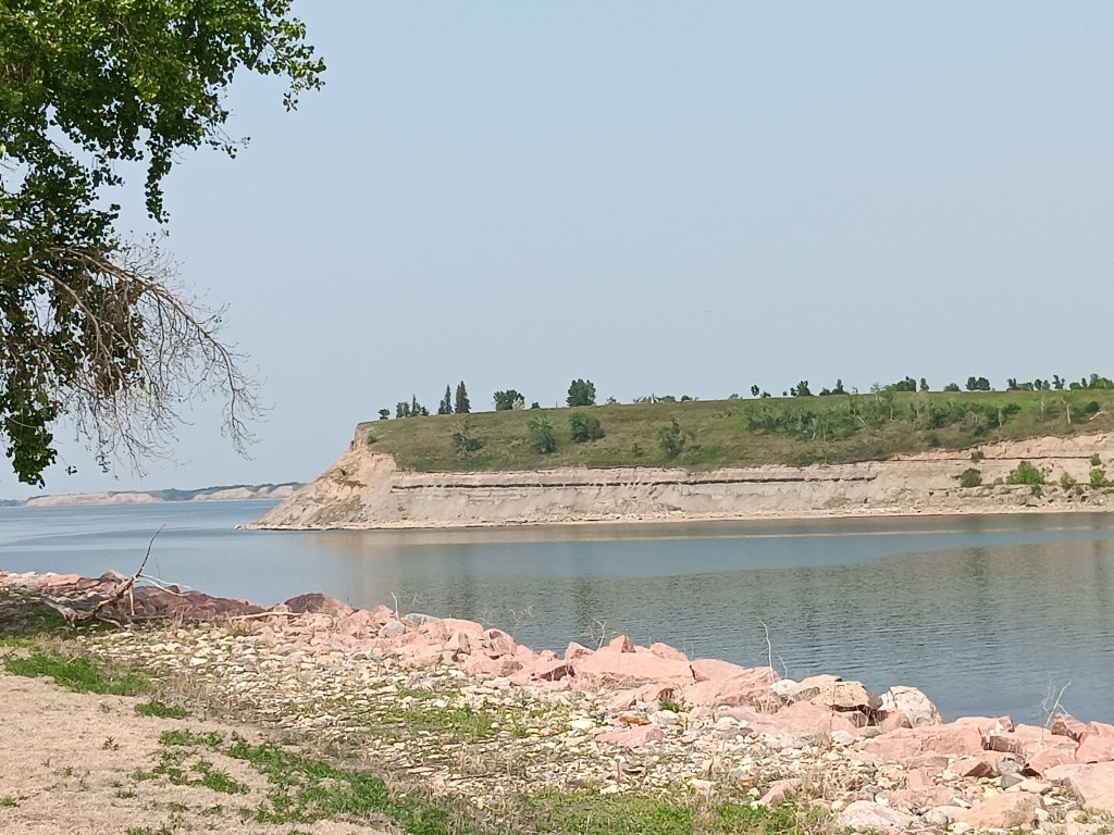
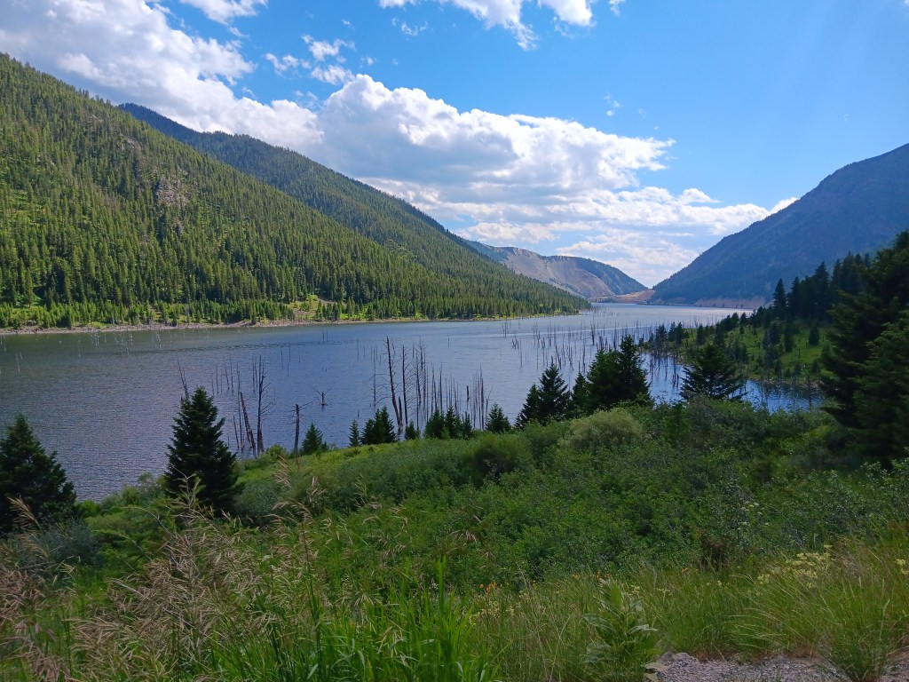
We then returned to Livingston via Highway 287, and were hugely surprised to see one of the mountainsides along the road had come down due to a 7.5 magnitude earthquake, leaving a massive scar and an even bigger pile of rubble.

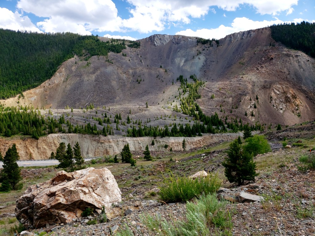

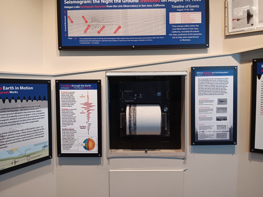
Lucky for us, this all happened in 1959, and whoever takes care of these sorts of catastrophes had created a charming visitor center for Earthquake Lake on top of the rubble, and on top of 14 people whose bodies were never recovered.
Dead trees still stand in the lake, and the hosts at the visitor center told us the concussion from the landslide was heard all the way into Yellowstone.
The visitor center monitors tremors, and we were told the seismograph is so sensitive it often records the footfalls of elk walking in the vicinity. The employees feel tremors several times a day, but they seemed happy with their jobs and their location, so nothing major appears to be on the horizon.
It was reassuring to hear, since we’d soon be spending a few days exploring Yellowstone.
In the end, we were glad we drove both highways to help our decision-making, and it turned out local knowledge didn’t stand up to the test. Highway 287 was gorgeous, but had so many long, steep grades that poor Simon was tuckered out by the time we returned to Fati that night.

Our decision had been made. Next stop, Fishing Bridge Campground in Yellowstone!