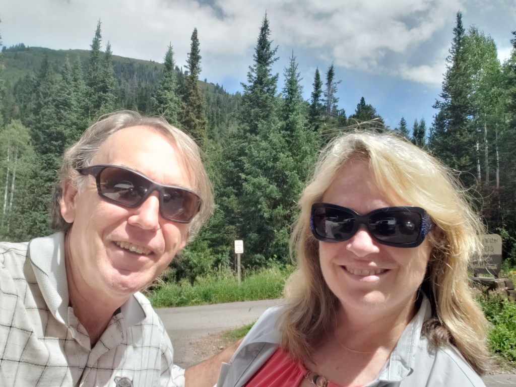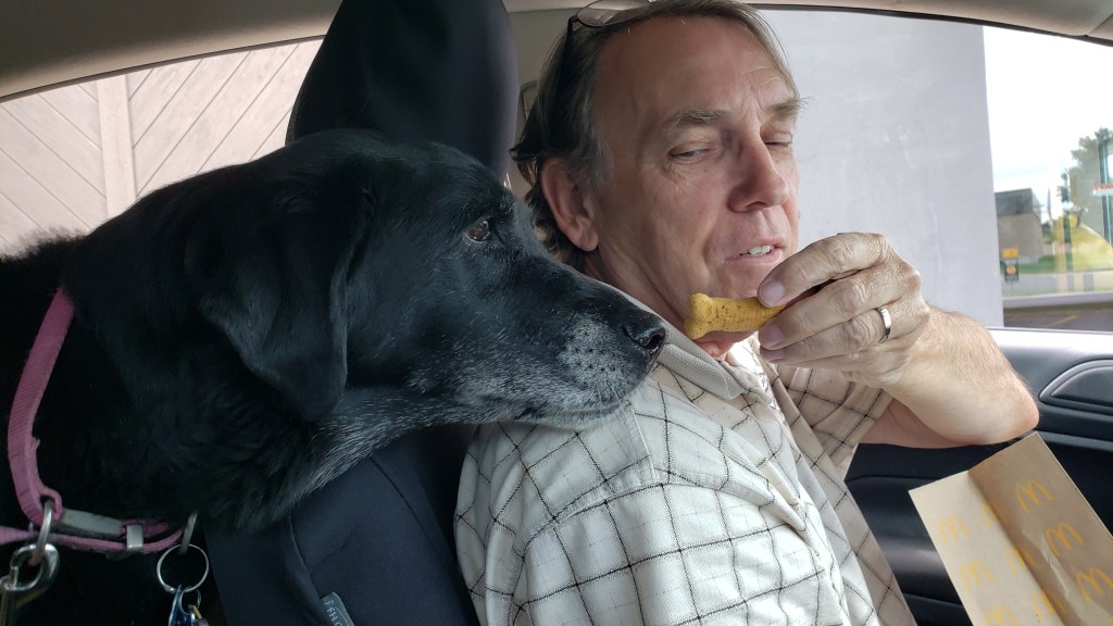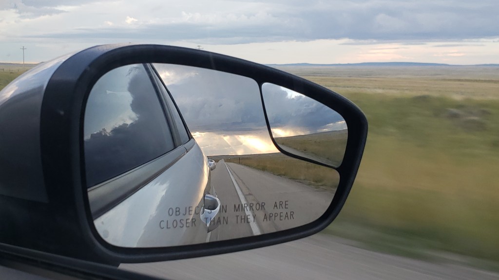
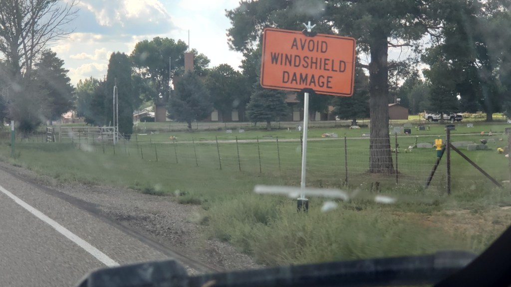
Technically, Idaho wasn’t a new state for us. We’d flown in to Idaho Falls several years ago, and made the 108-mile drive to Yellowstone in Wyoming. But, clearly, we were new to Idaho, as evidenced by the Sheriff in Richfield who caught sight of our Florida license plate and “escorted” us out of town.
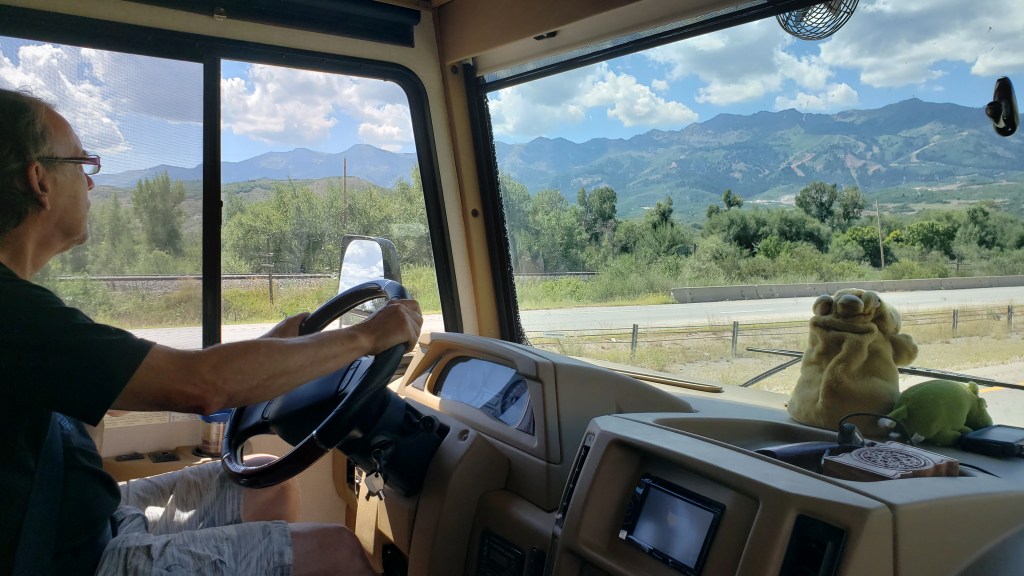
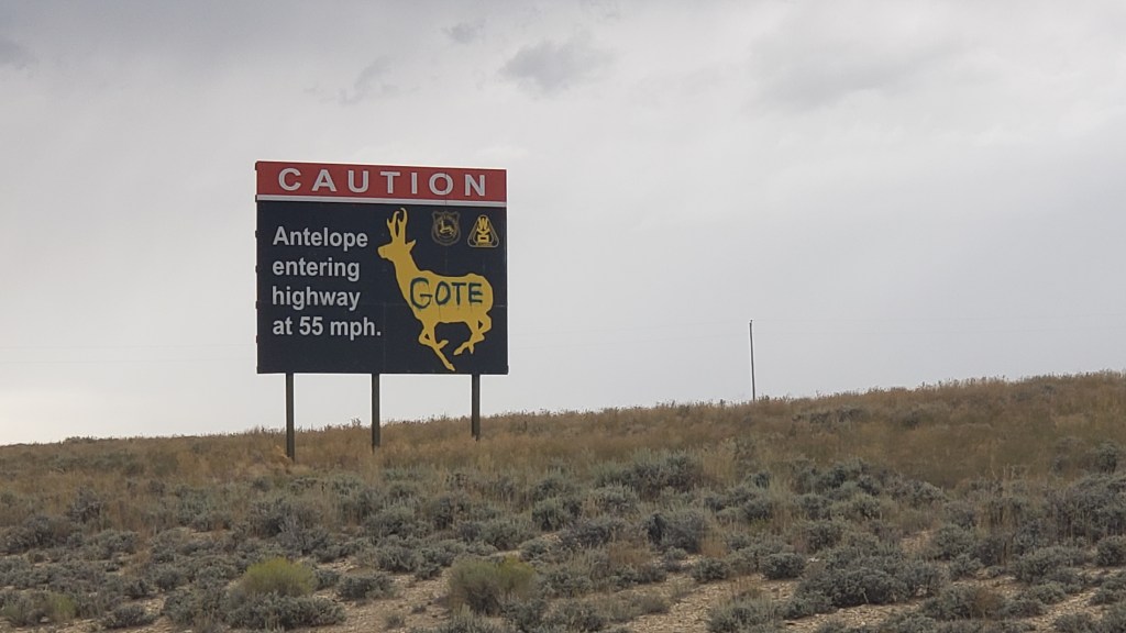
Our suspicious nature wasn’t helped by Susan taking random photos of weird road signs while the Sheriff was behind us, or Simon making an extremely abrupt turn onto a lonely back road, having nearly missed our GPS’s warning that the turn was coming up. Richfield’s Finest responded by following us all the way to his county’s border to see us off.
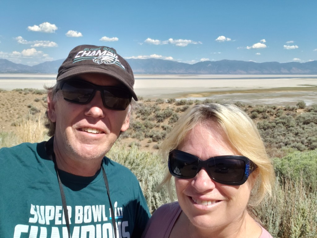
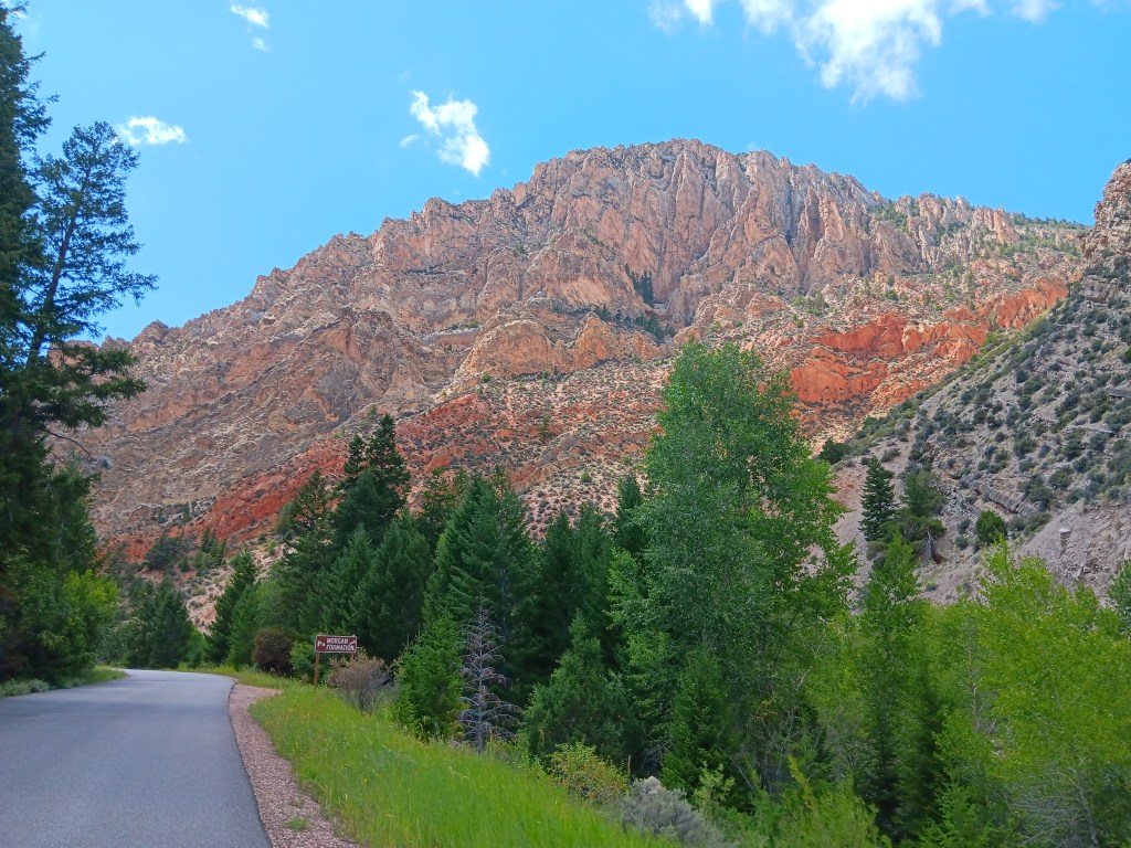
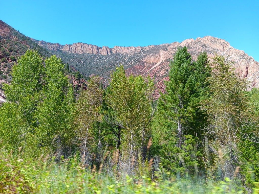
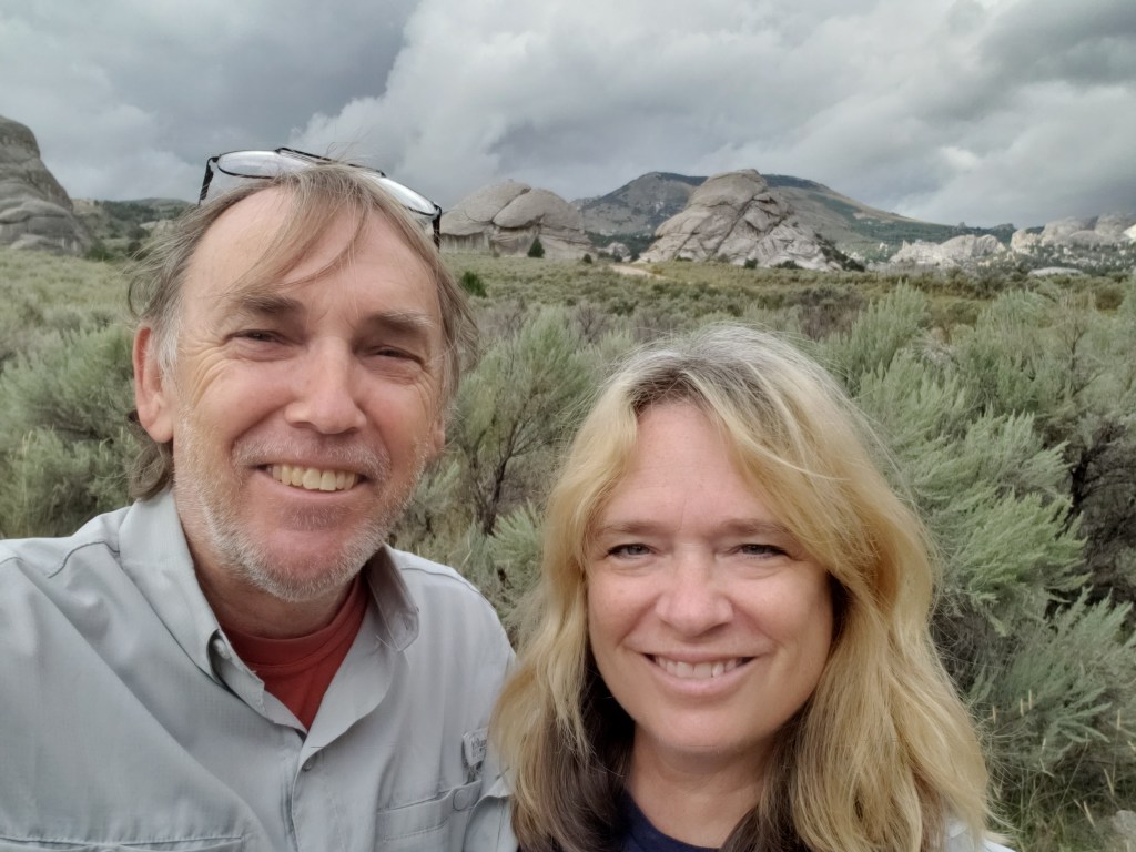
The several-mile drama unfolded after our visit to Craters of the Moon National Monument and Preserve, the reason we were in Idaho in the first place. If you’ve been following along, you know we made a change to our original itinerary, and because of that our time in Idaho was in doubt. But both of us were eager to see the otherworldly park, so we booked a week in the area after our time near Salt Lake City, which opened up the opportunity to also see City of Rocks National Reserve, Shoshone Falls, and massive piles of the vegetable for which the state is famous.
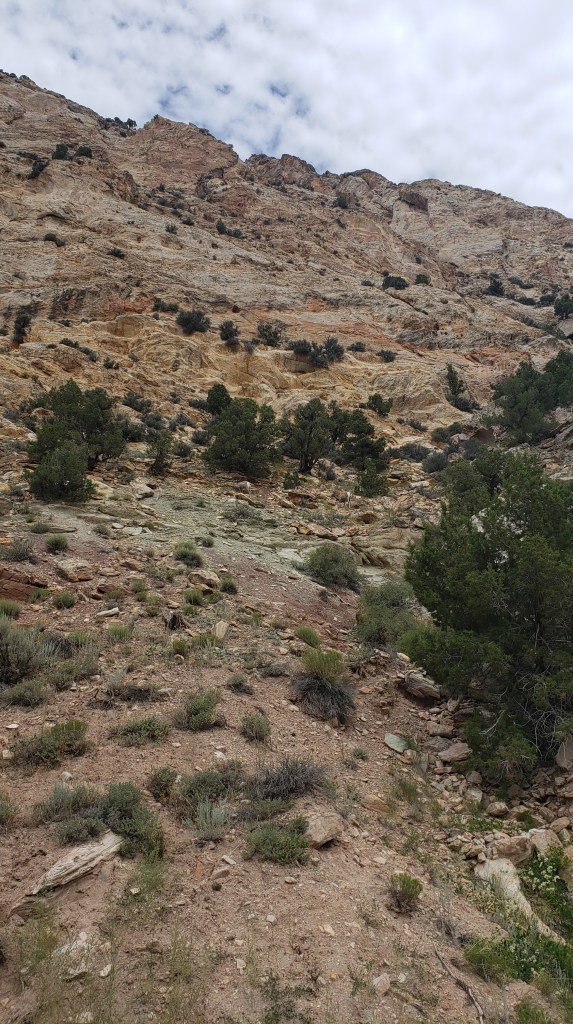
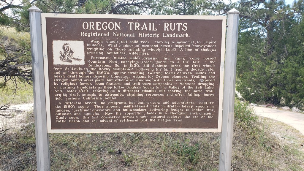
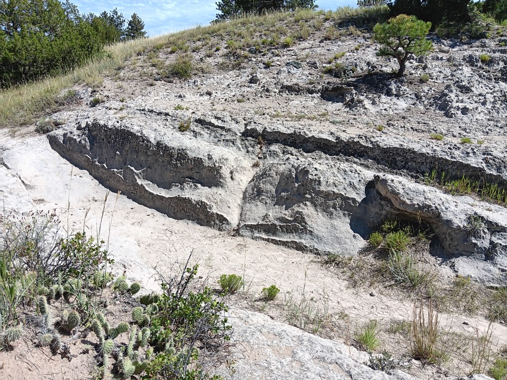
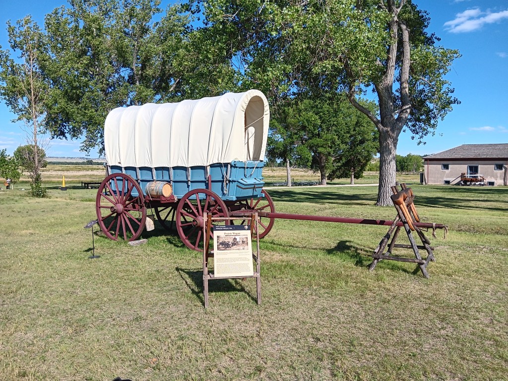
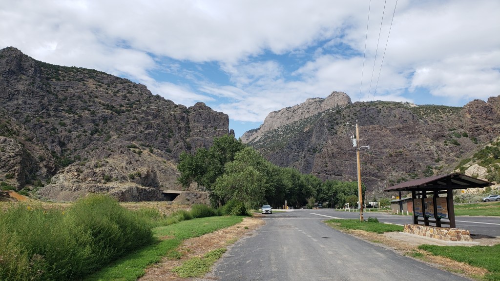
City of Rocks is a world-class playground for rock climbers, but its history includes emigrants passing through on the California Trail from 1843-1882 and, prior to that, use by native peoples. Its oldest rocks date back 2.5 billion years.

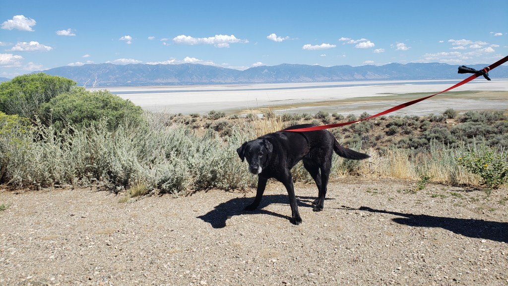
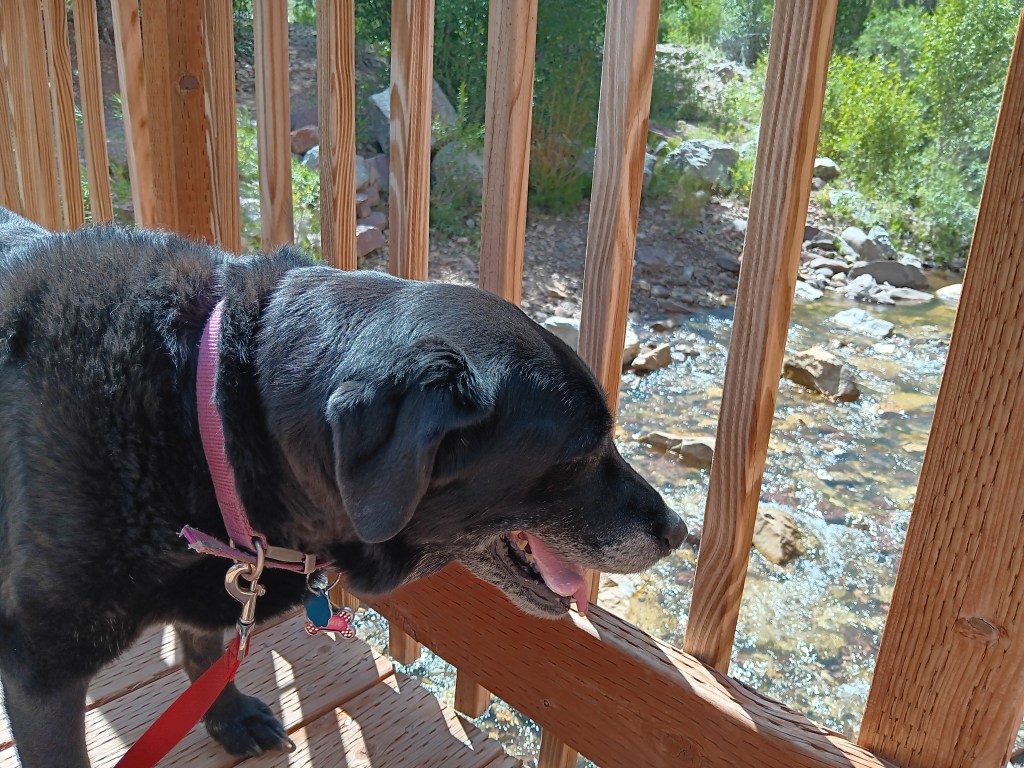
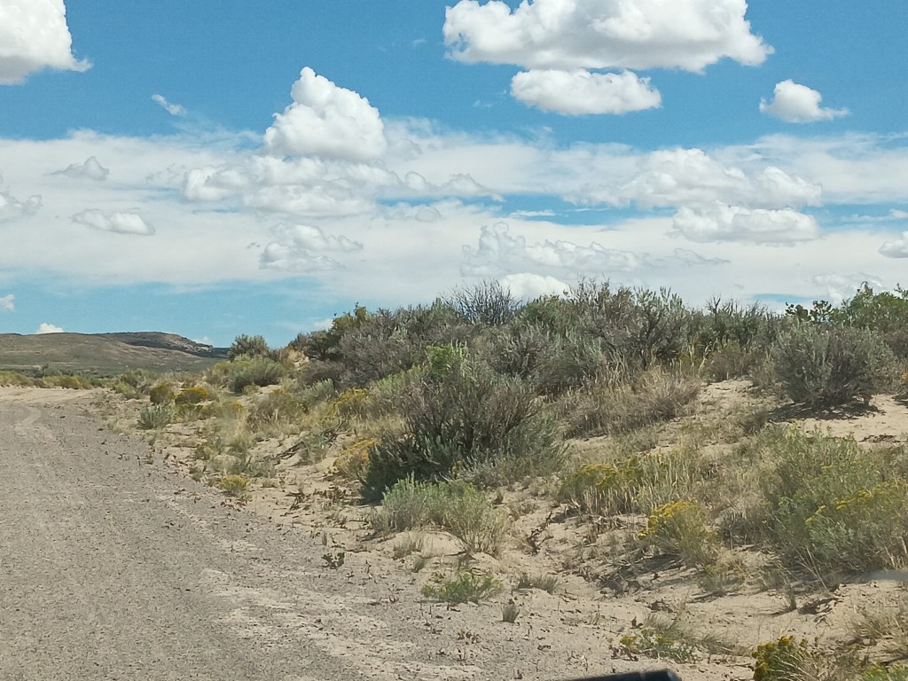
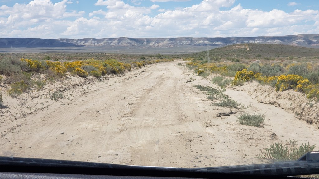
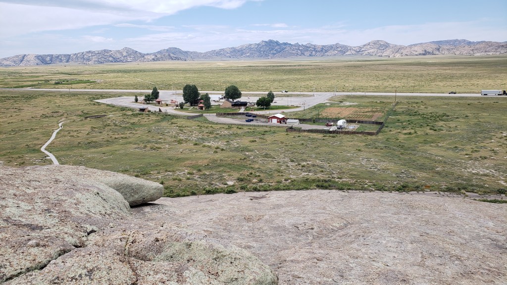
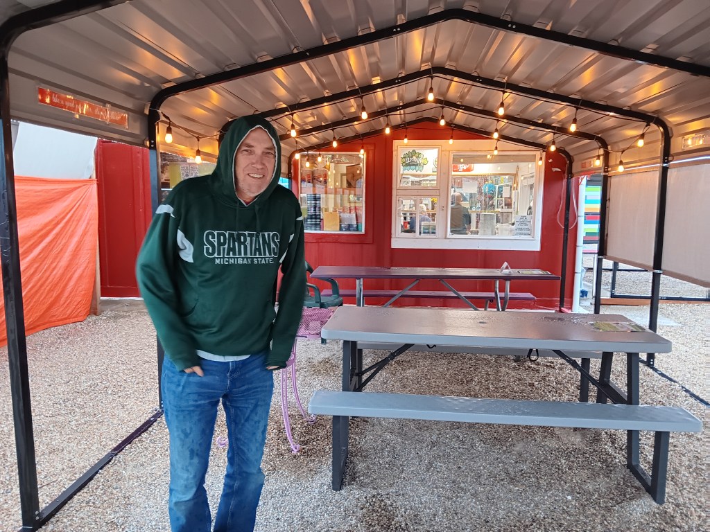
We were there for the scenery, though we didn’t know what to expect. A stop at the Visitor Center resulted in two useful suggestions from ranger Robb: Don’t take little Nippy on the rough road beyond the Bath Rock formation, and stop at Rock City for the best pizza you’ll ever eat and the only craft beers for a hundred miles.
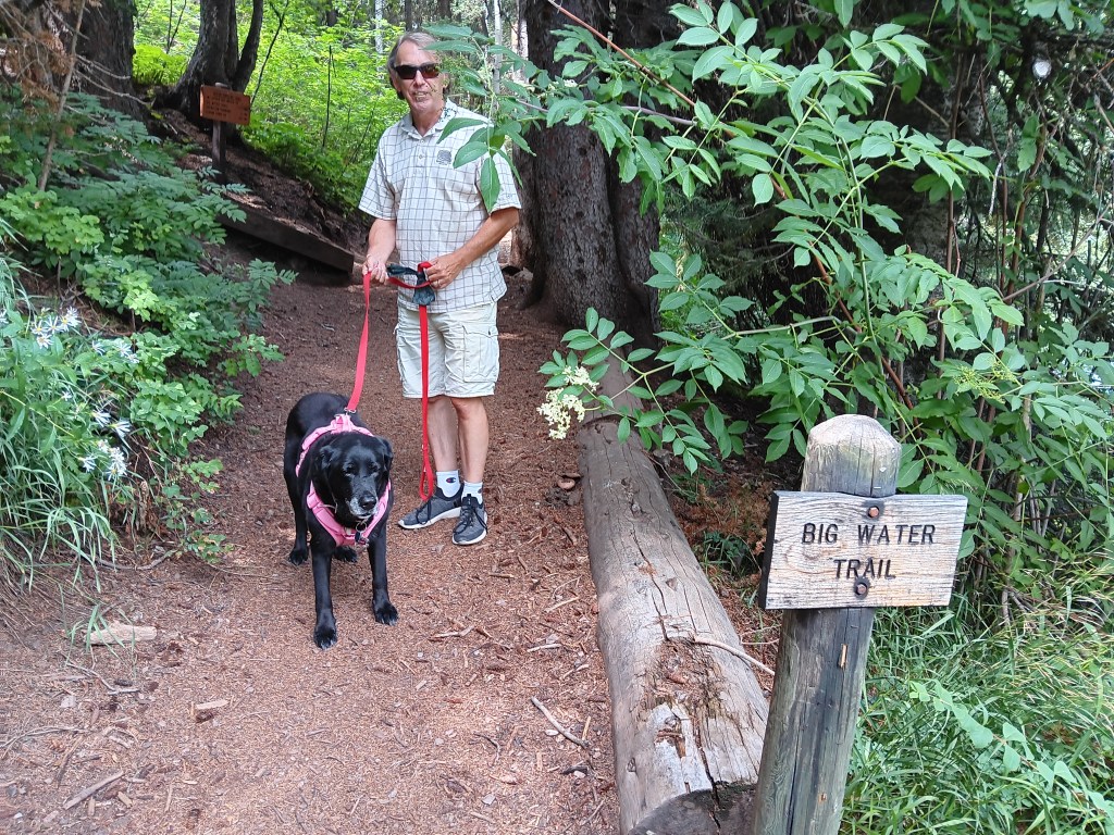
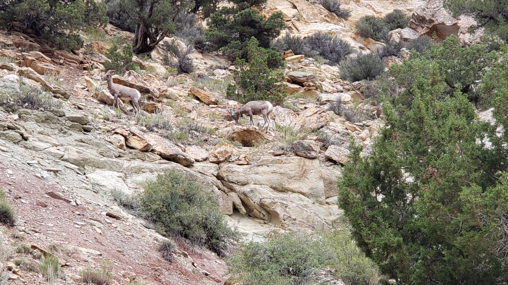
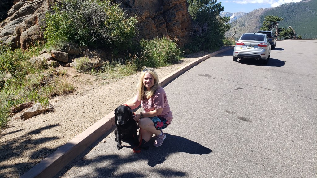
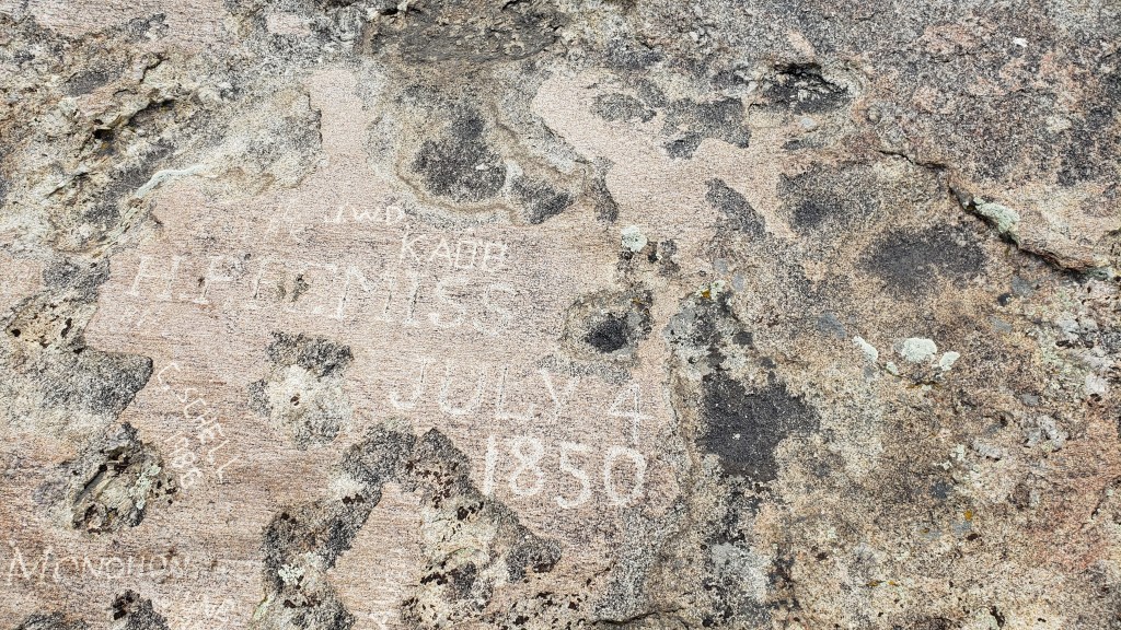
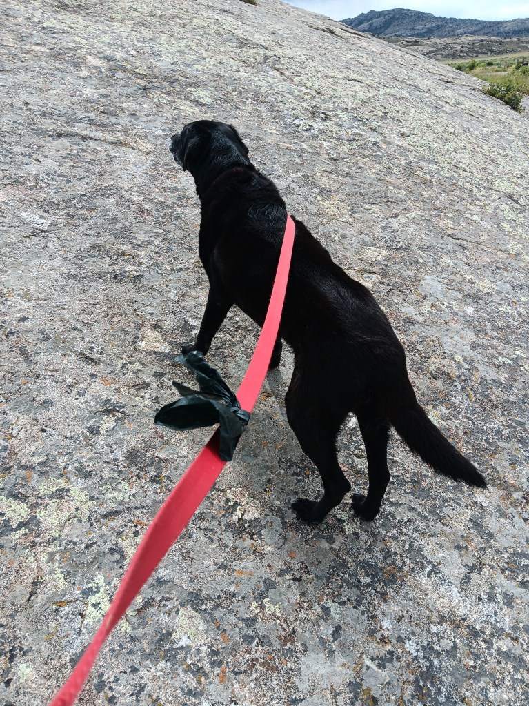
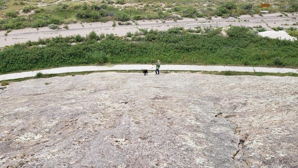
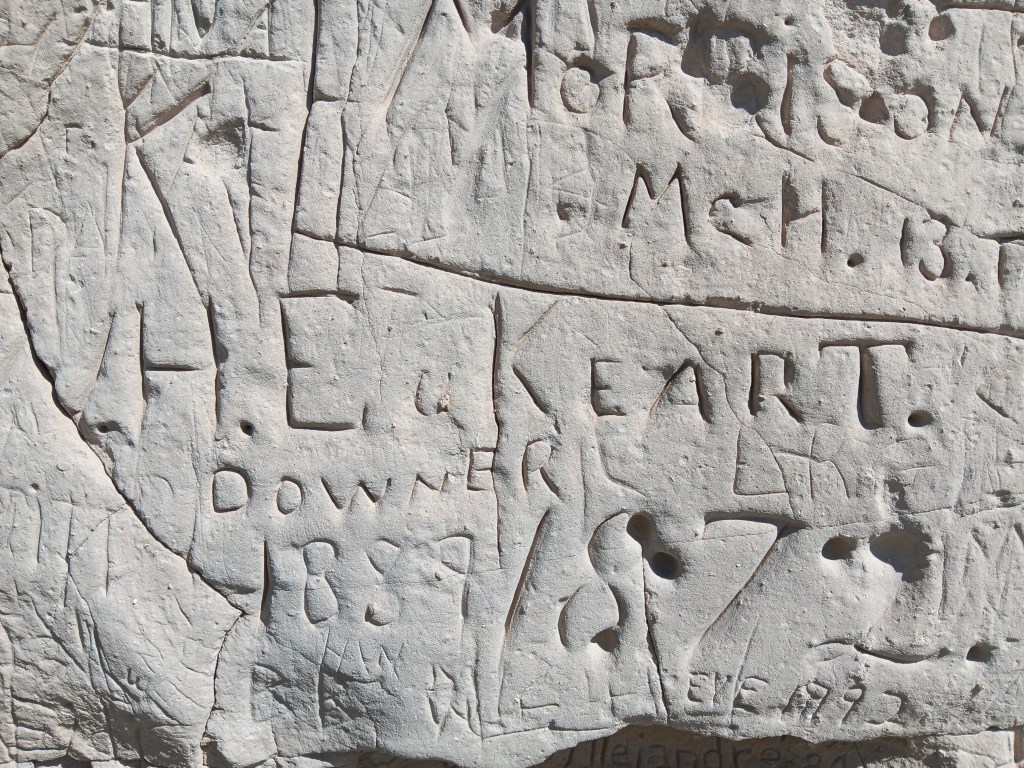
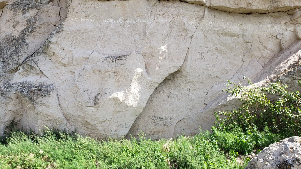
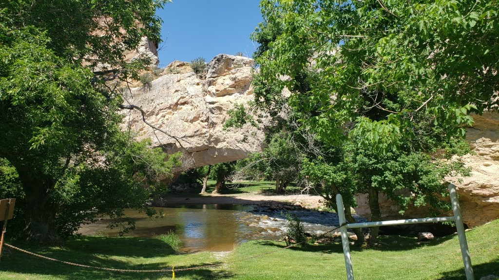
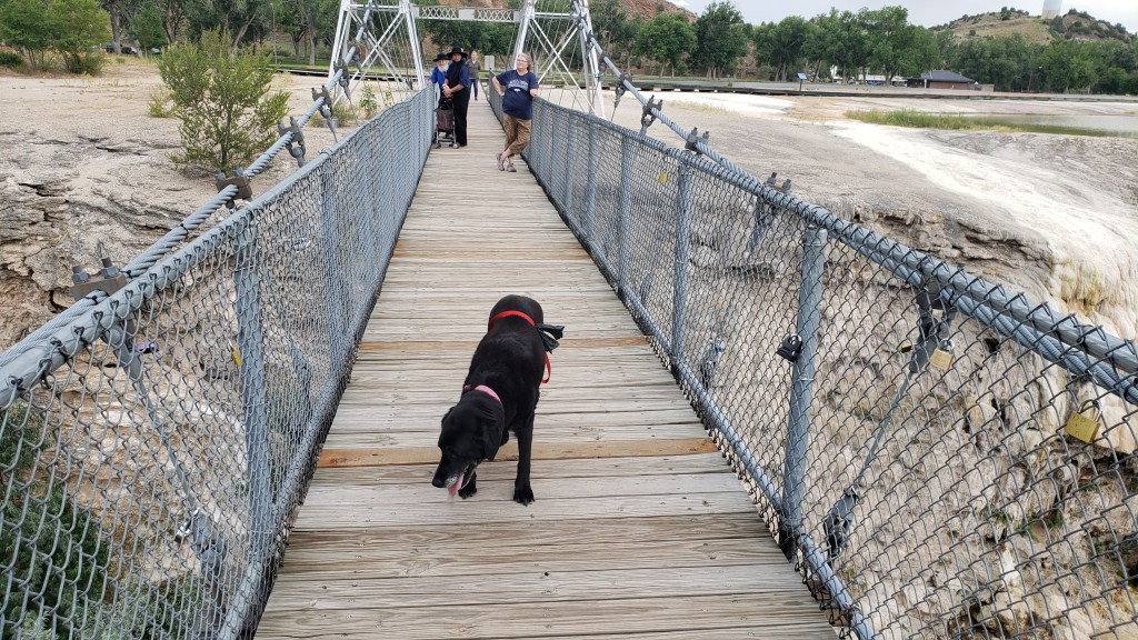
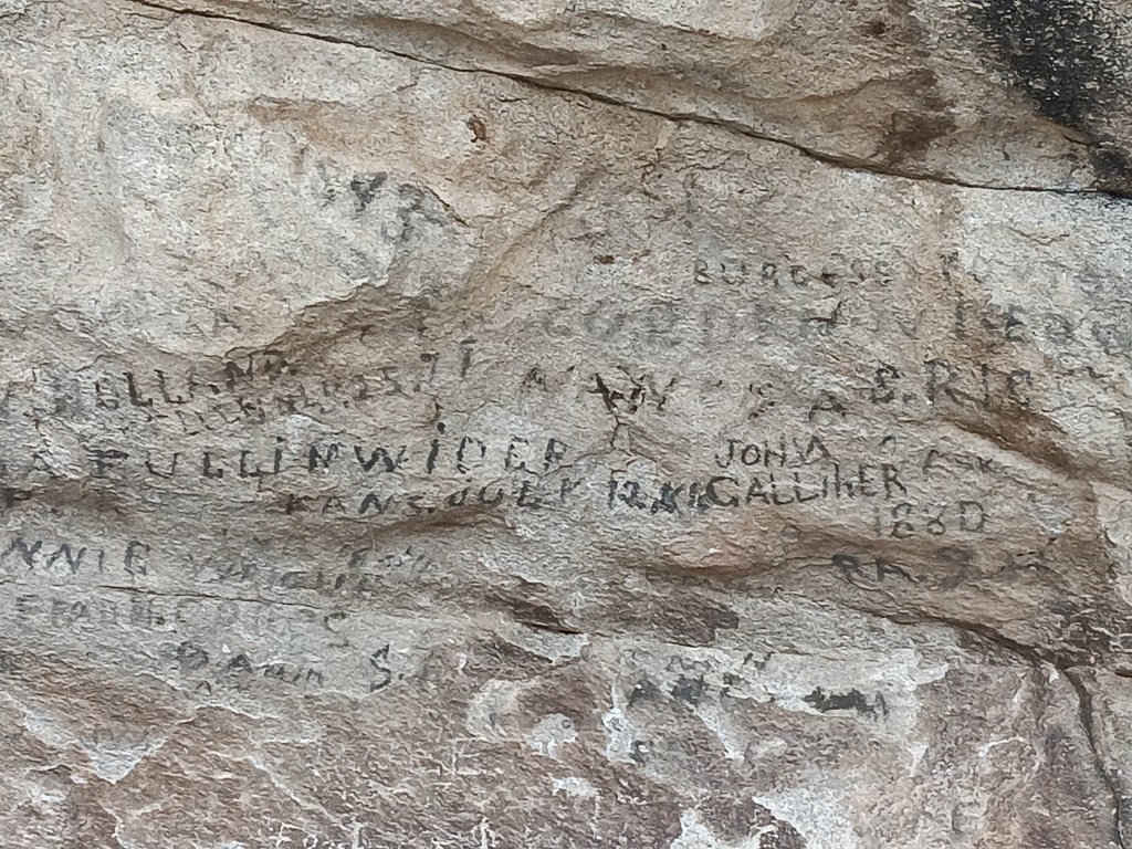
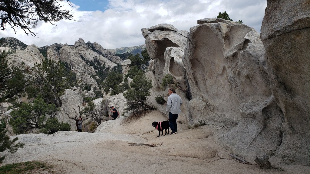
The park is entirely dog-friendly, with a handful of dramatic geological features, starting with Camp Rock (a.k.a. Register Rock). There, we found signatures and dates from emigrants who passed by, pausing to leave their names and sometimes a short message, written in axle grease.
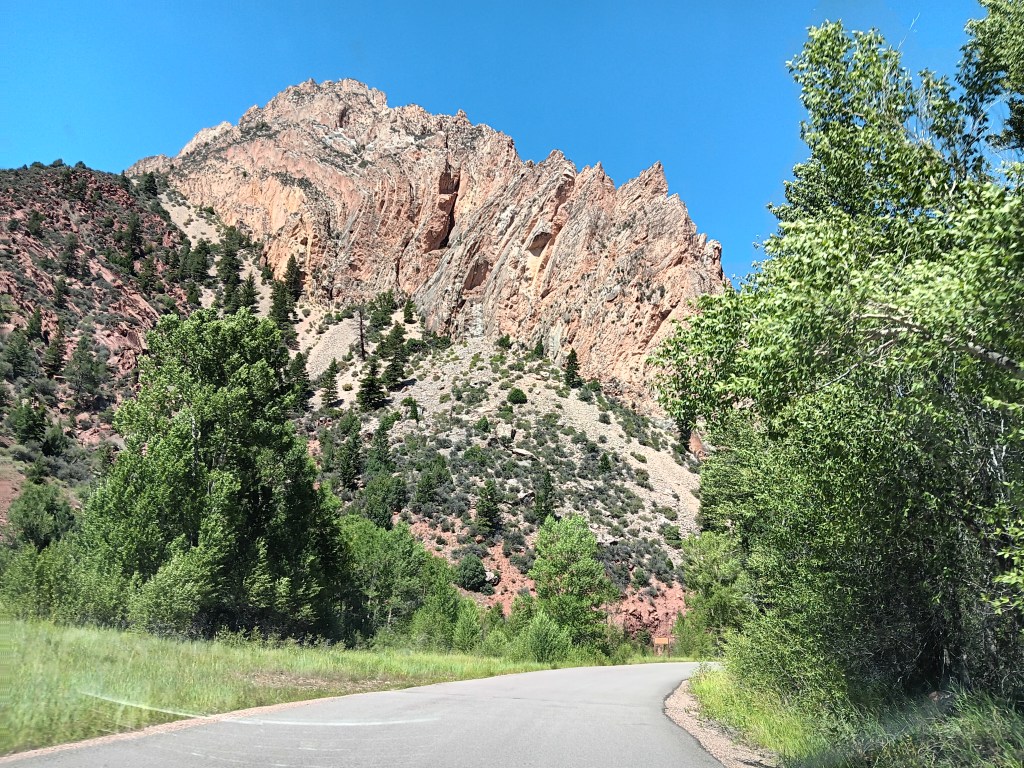
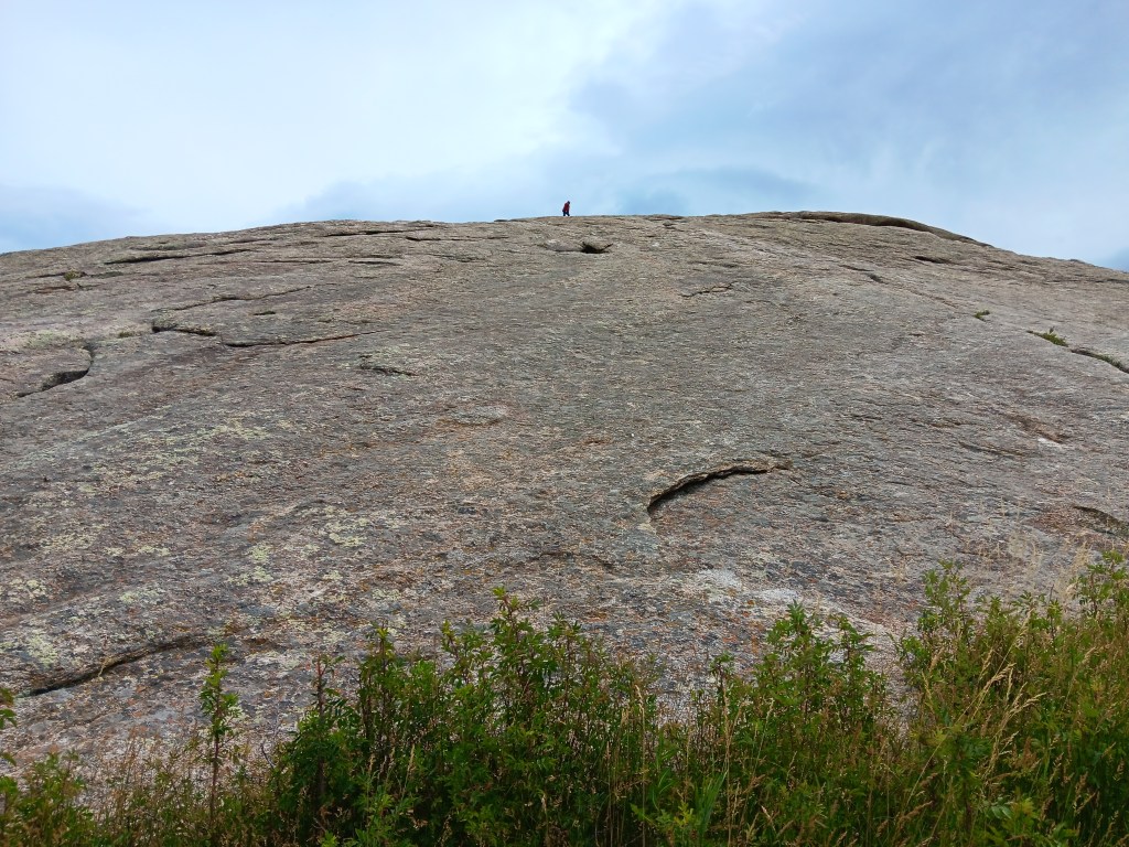
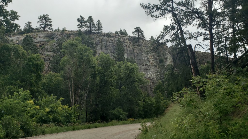
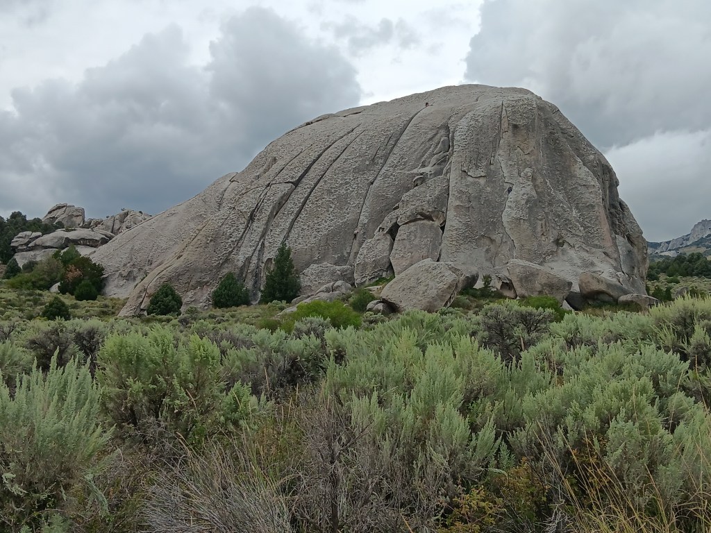
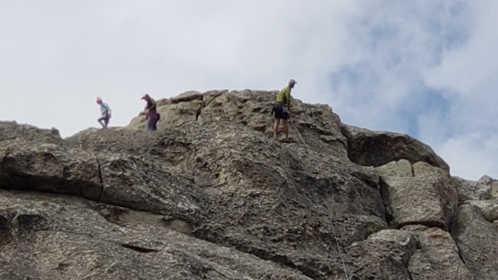
Next along the byway was Elephant Rock, and we were told it was a great place to see climbers. Sure enough, there were several making their way up (and down) the rock face.

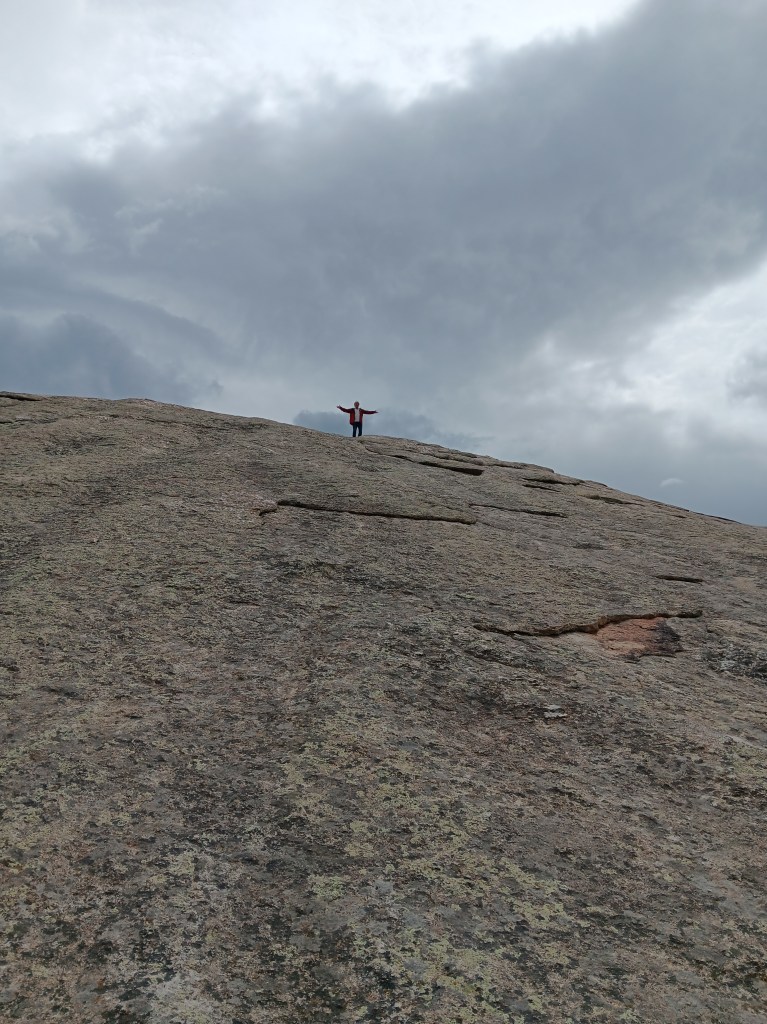
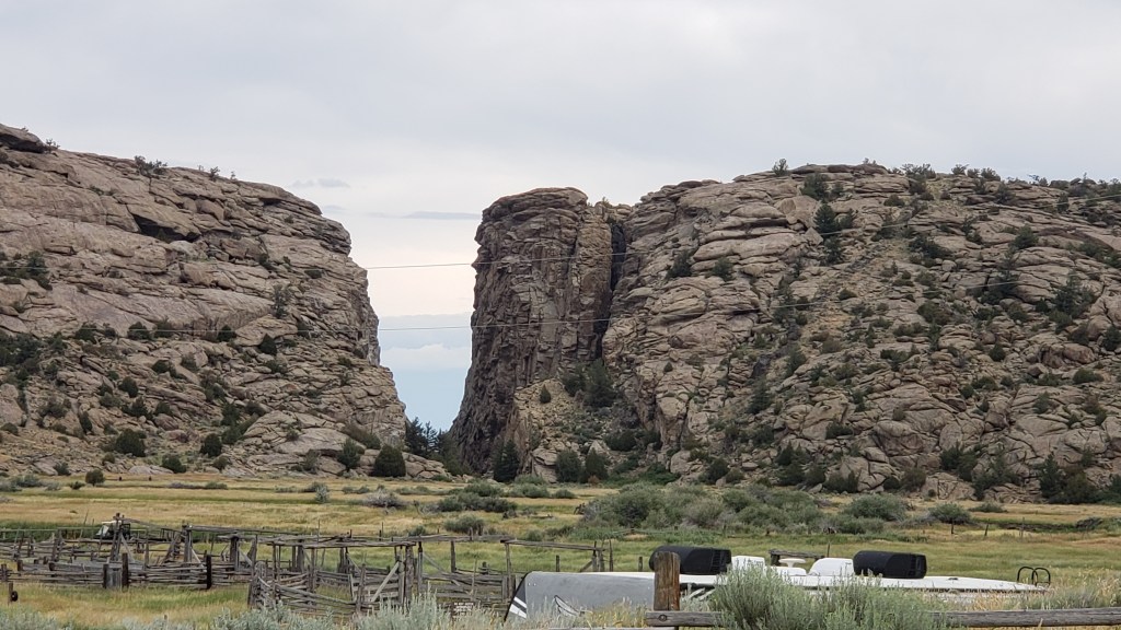
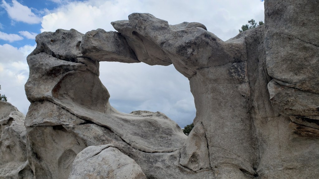
The trail to Window Arch, just beyond Elephant Rock, was only 250-feet long, but included some of the most dramatic views.


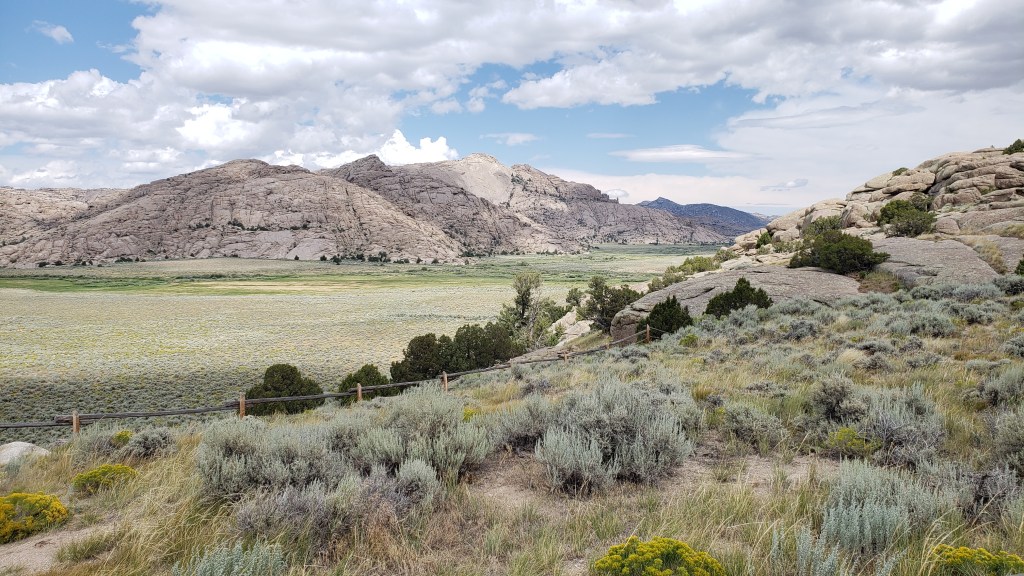
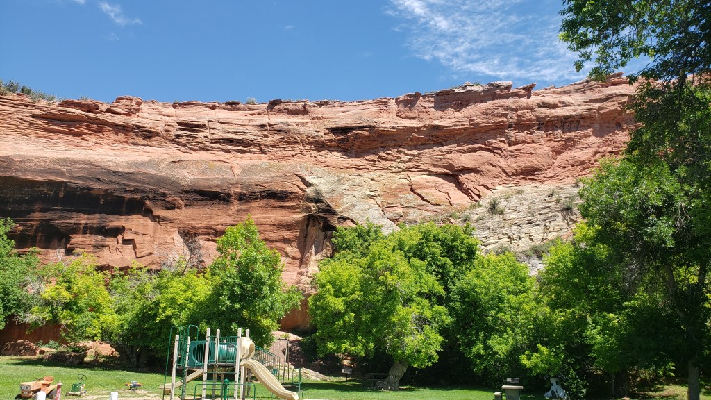
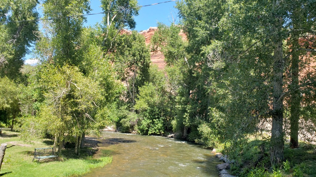
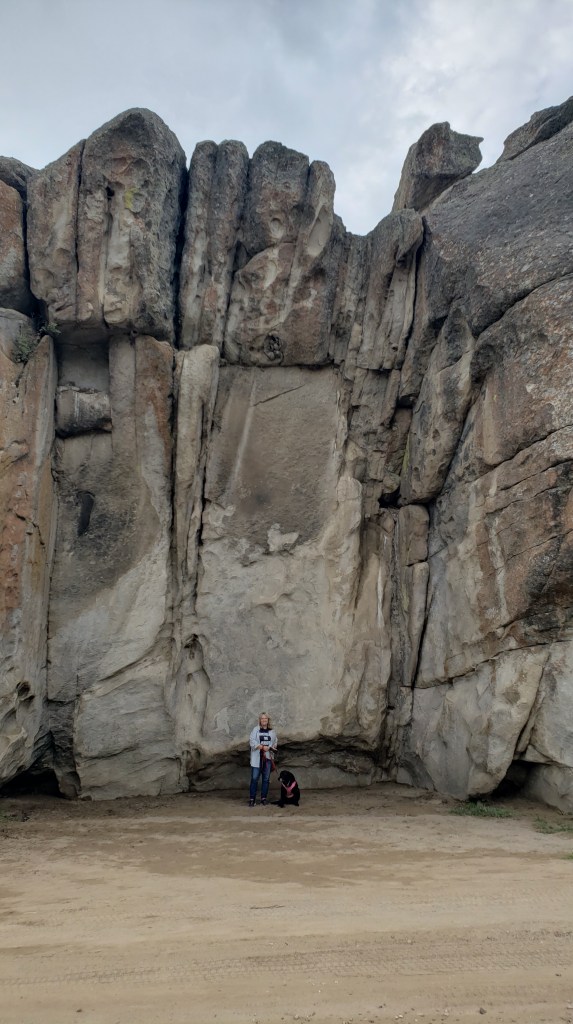
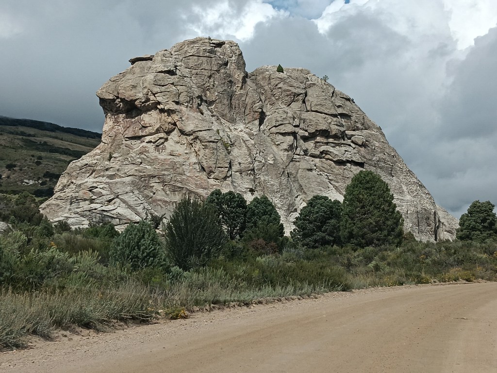
We ended at Bath Rock, a spiritual place, Robb at the Visitor Center told us, where his grandmother used to take him and his sister when their parents were traveling, and she’d “bathe” in the positive energy to remove the negative energy she was covered in. Energy which, his sister told him, was all his fault.
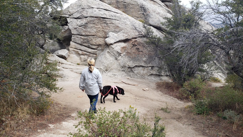
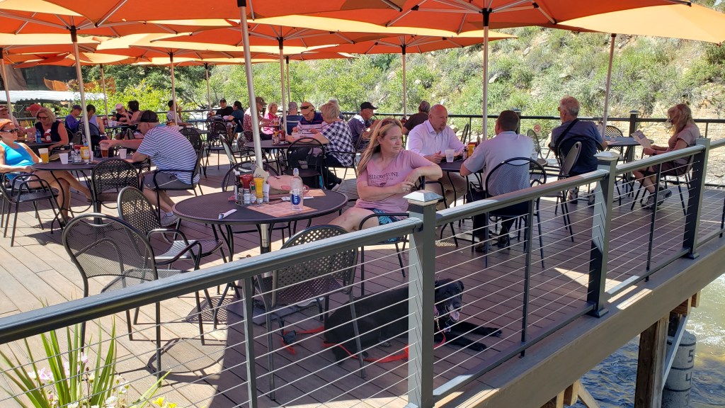
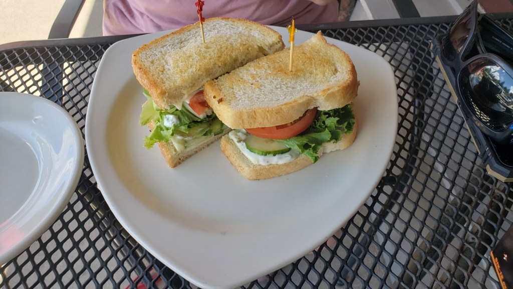
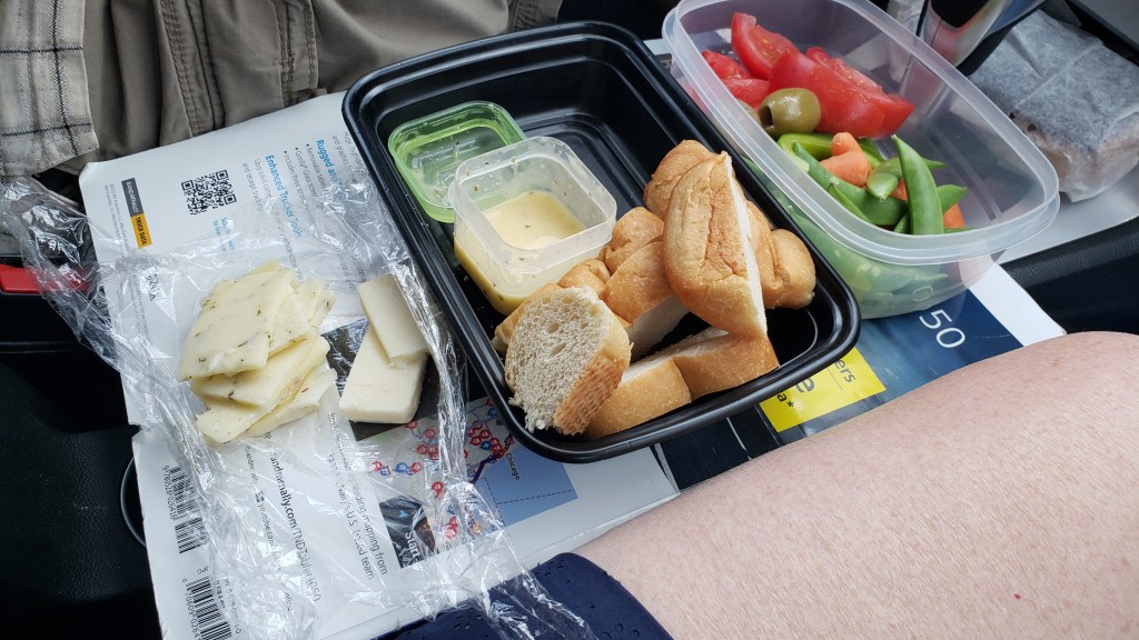
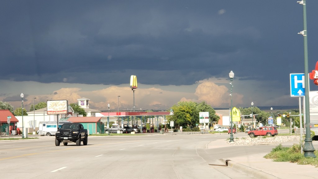
Bath Rock was active with climbers, but a storm was brewing in the distance, so we enjoyed their activities for a while, took a little stroll along the trail, then headed out of the park for an al fresco pizza lunch.
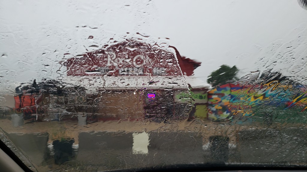
The storm had other plans. It hammered down rain, sending bolts of lightning perilously close to the gravel we were standing on, directly under a metal roof.
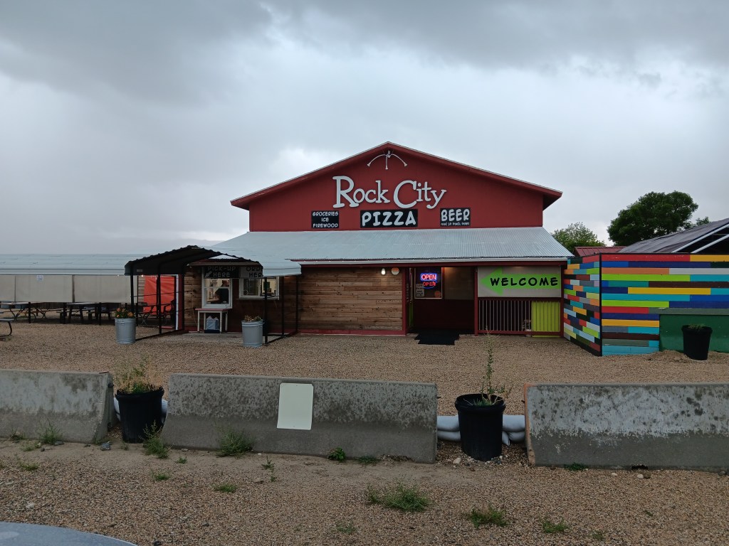
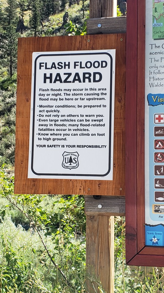
We high-tailed it to the car, watching water pool alarmingly around the store and its picnic area, which added credibility to the Flash Flood warning we’d heard the store employees mention while we waited for our pie to bake.
City of Rocks made a terrific afternoon out, in spite of the rain, and we were even more excited for our trip to Craters of the Moon two days later.
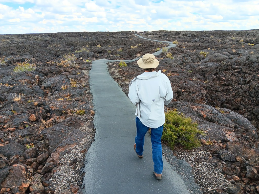
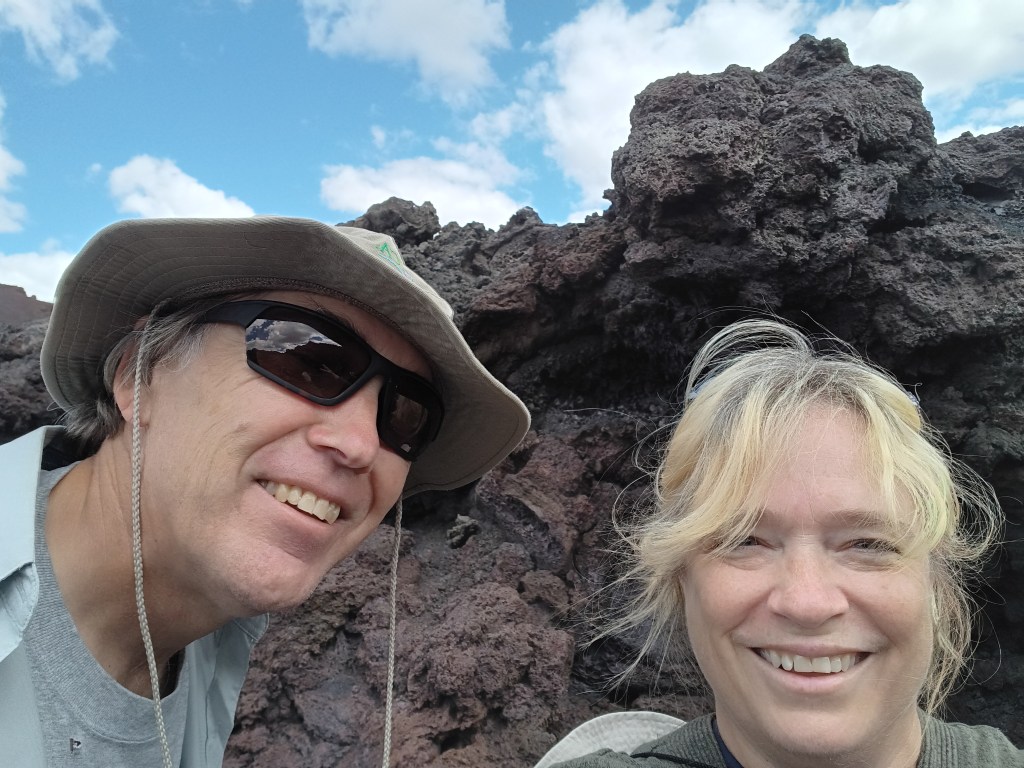
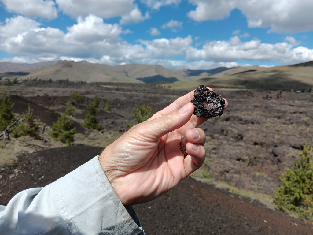
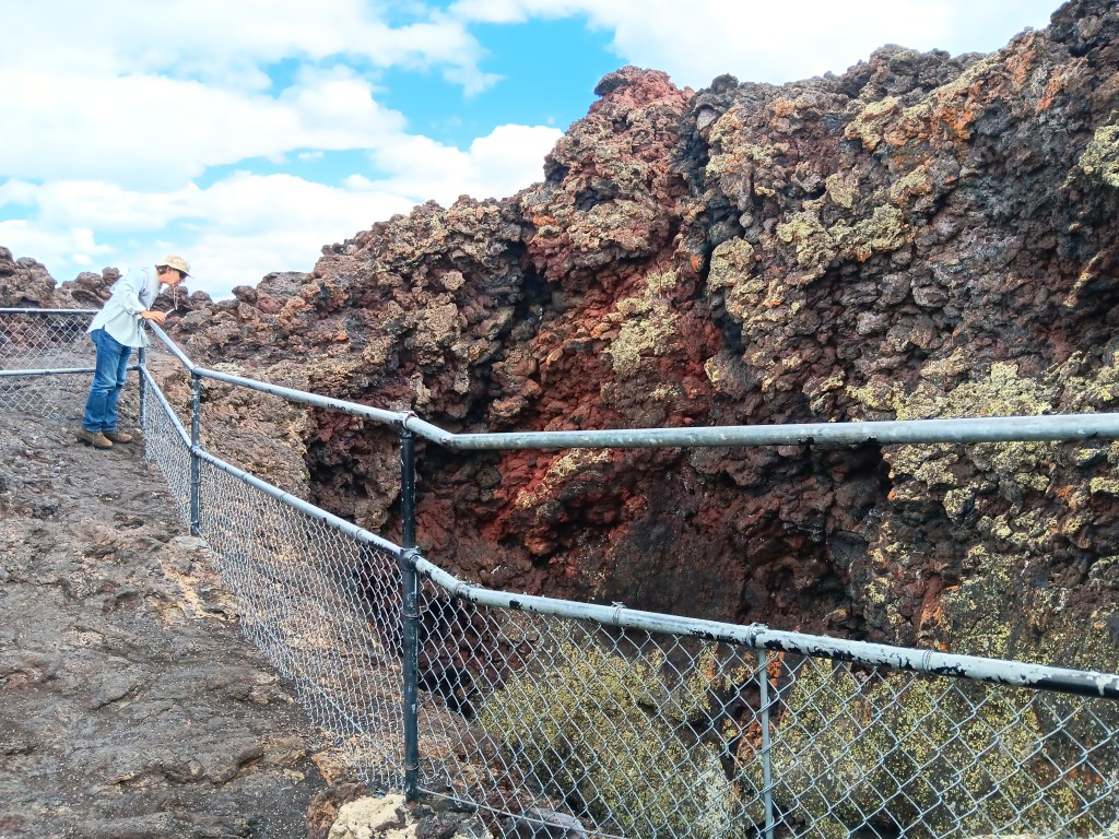
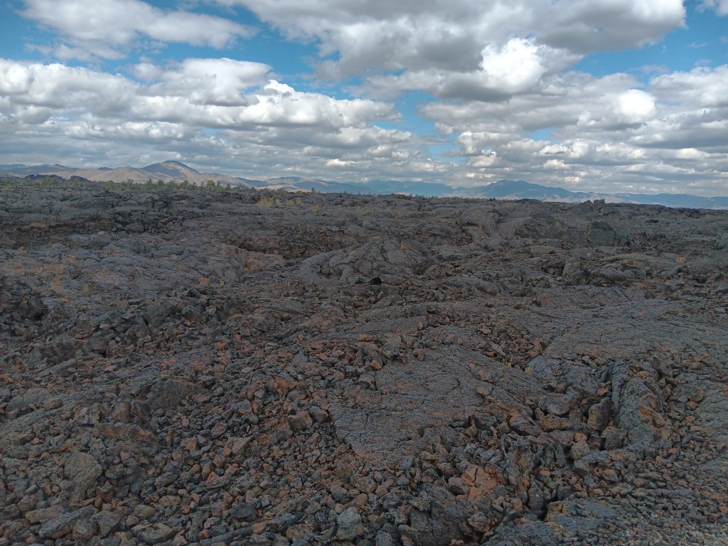
Our $20 America the Beautiful Senior Pass got us into the park for free (we’ll just add here that we’ve literally saved hundreds of dollars using this wonderful National Parks pass), and we marveled at the seemingly endless lava fields and features that were formed when molten lava oozed through cracks in the earth compliments of the 50-mile fissure known as the Great Rift.
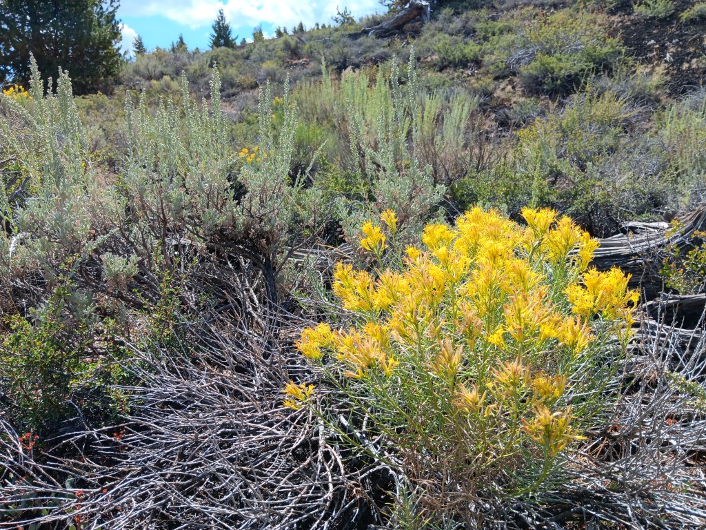
Our first stop along the seven-mile scenic loop was a hike up the powdery Devil’s Orchard cinder cone, a gentle start to our visit, punctuated by a surprising variety of flora.
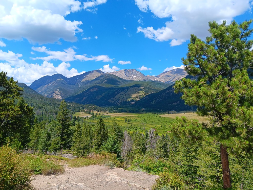
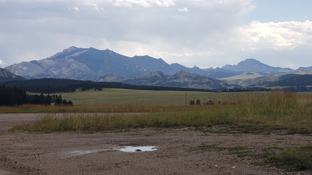
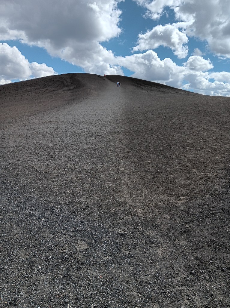
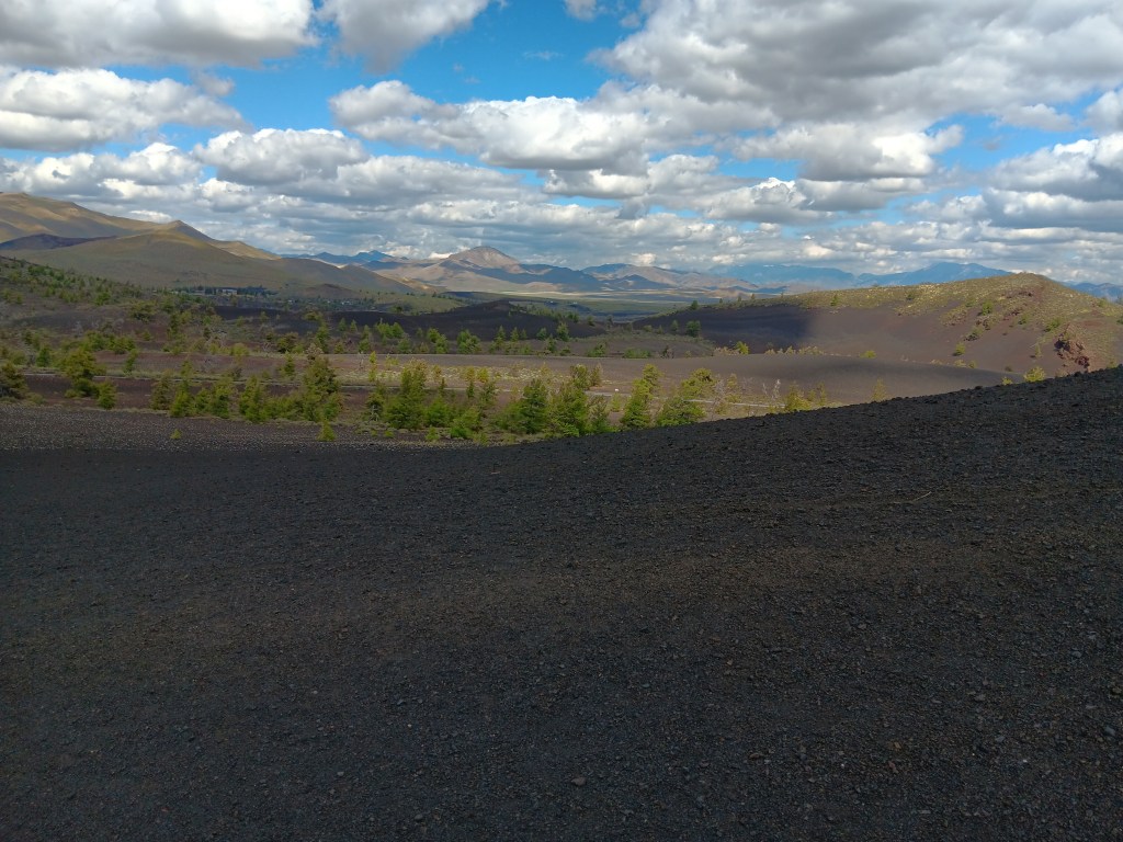
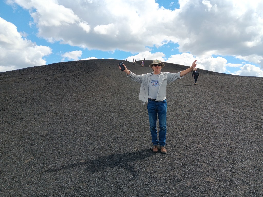
Inferno Cone was much higher, with a well-worn, crunchy path to the top of not one, but three rises with magnificent views over the valleys and to the mountain ranges beyond.

It felt fabulous to be out walking, and we were loving the interactive nature of the features. A second short hike of just a few hundred feet saw us looking into two Spatter Cones, the first of which still had ice at the bottom.
We took all the side roads off the main loop, and had several WPM (Wows Per Minute) passing miles and miles of lava fields and curious “cinder gardens.”
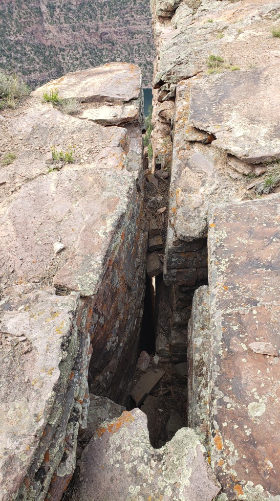
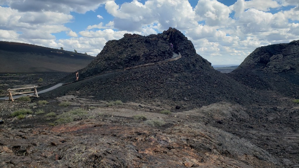
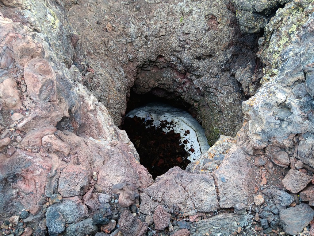
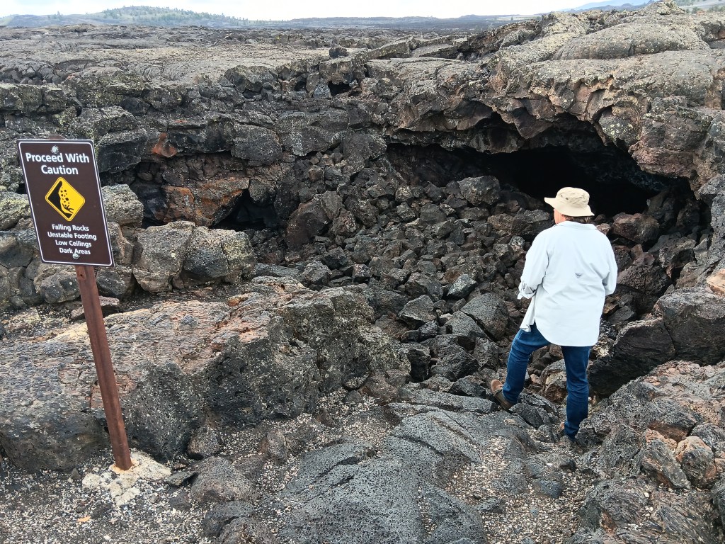
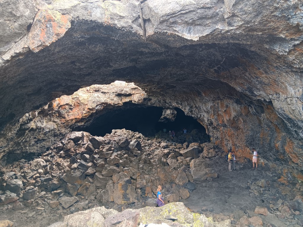
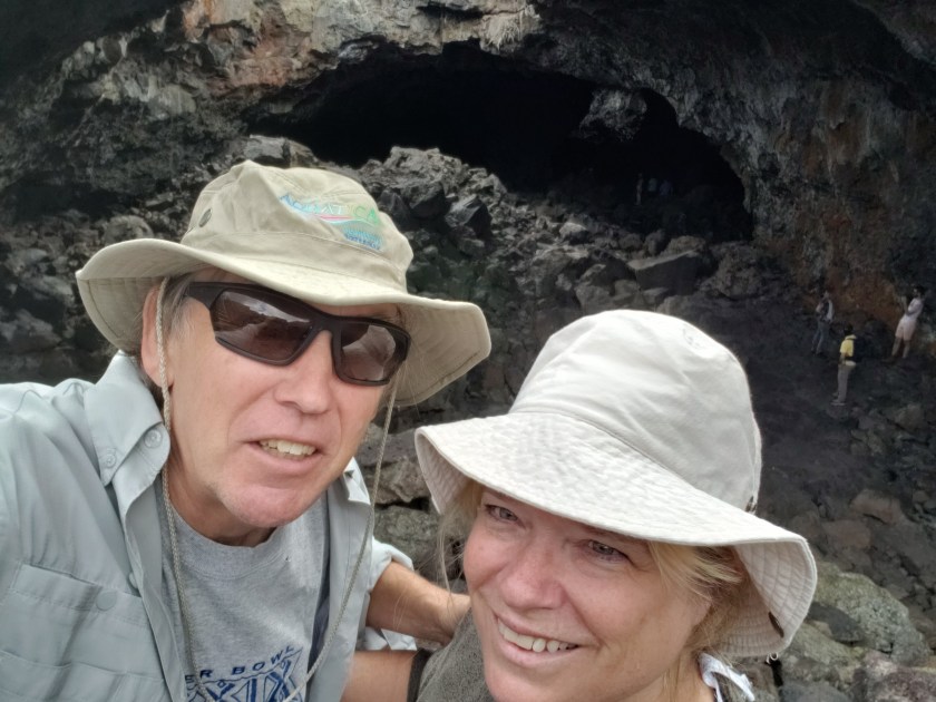
But our absolute favorite WPM was the Caves Area, where visitors could descend into some of the caves that formed when lava tubes collapsed.

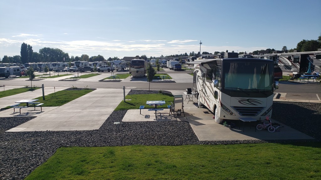
Sheriff of Richfield being the slightly humorous (if also slightly unnerving) exception, it had been a fantastic, unforgettable day. Our return trip to Village of Trees RV Park had one more surprise in store.
We’d been unreasonably excited by all the trucks we’d seen carrying Idaho potatoes from one place to another, but we didn’t expect the absolute thrill of two massive mounds of potatoes getting ready for transit. We shouted and pointed and laughed out loud at the piles and our incredible luck!
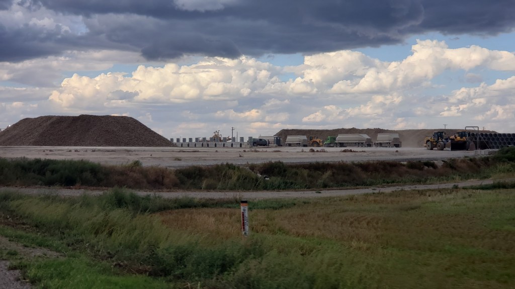
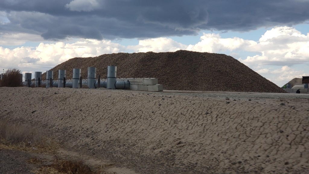
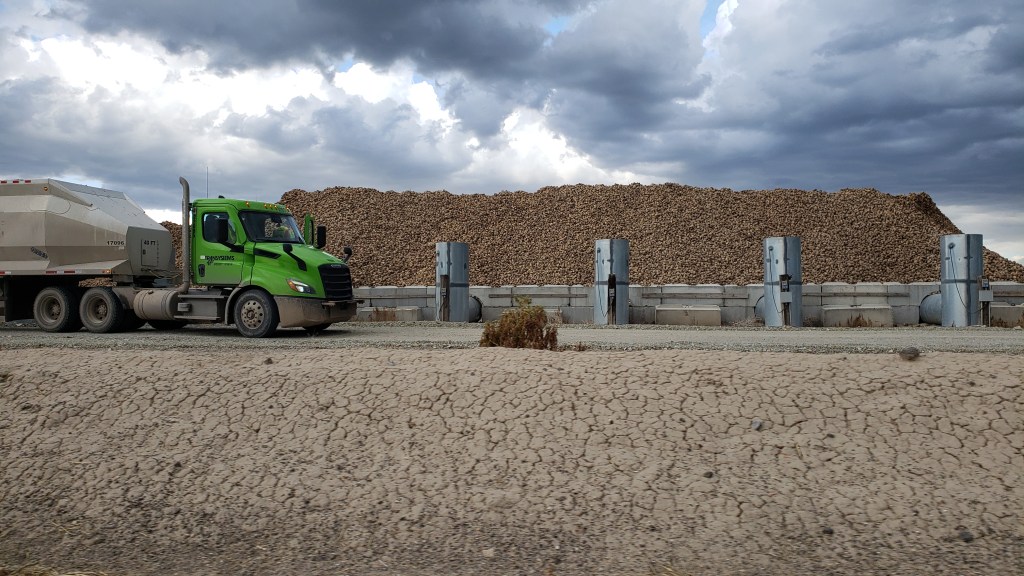
We know that’s sad and maybe even worrisome, but we’re proud of our little quirks, and of our ability to find joy in the small stuff.