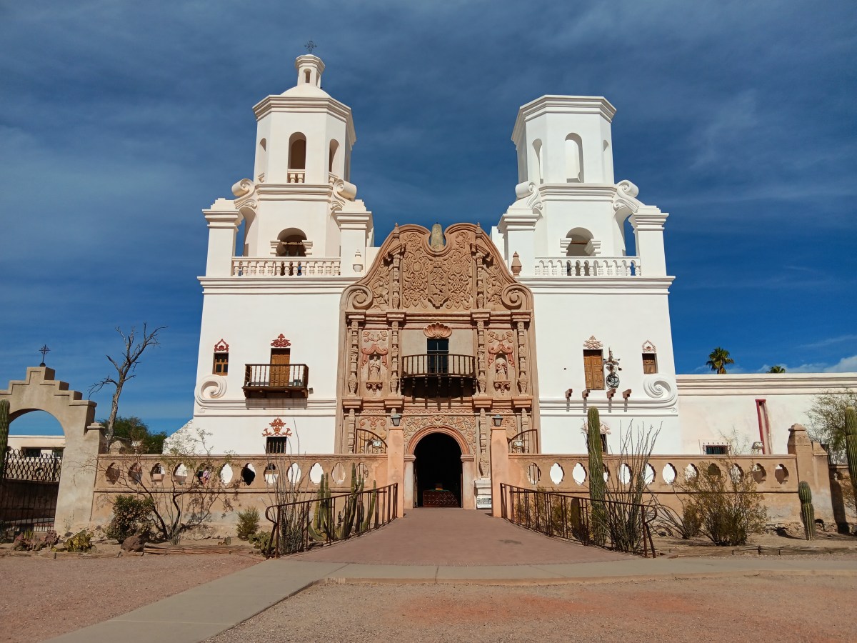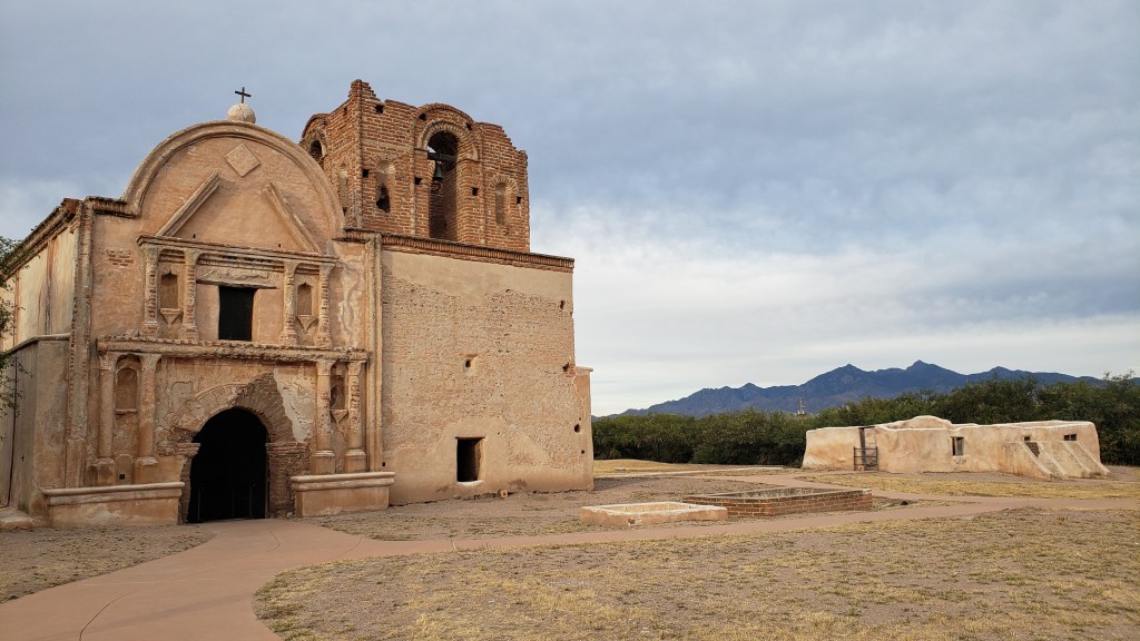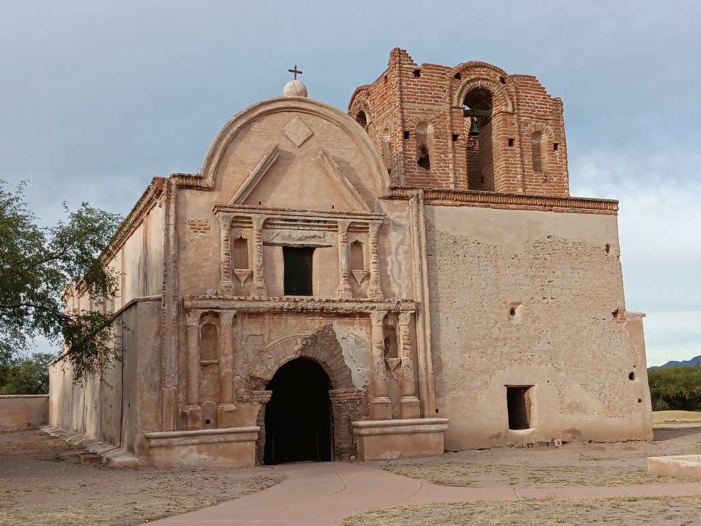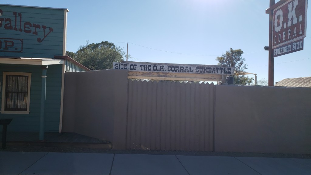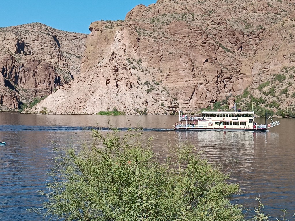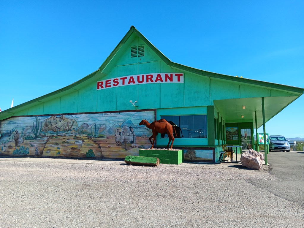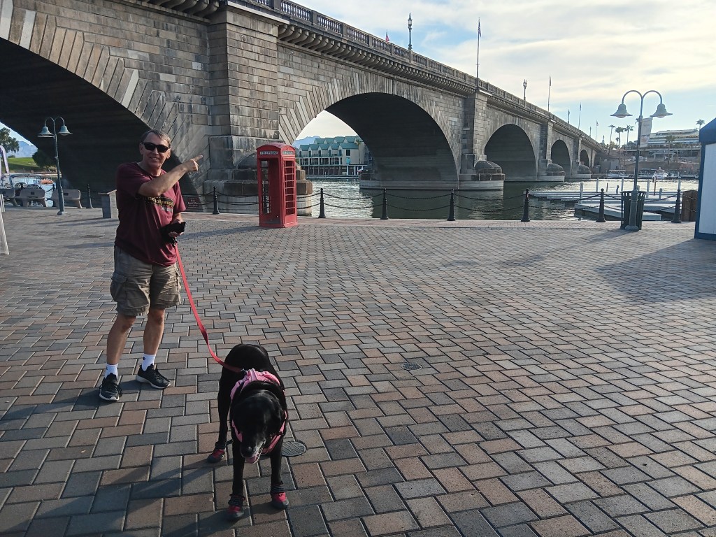
Most of our touring focuses on natural areas, National Parks, small towns, history, and getting a flavor of how people really live in this country’s diverse landscapes. We do occasionally visit “attractions,” and Tucson had two Simon was eager to see.
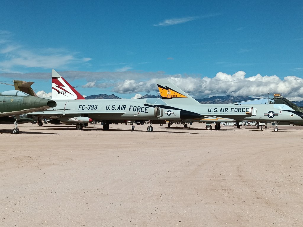
Pima Air and Space Museum features about 400 historical aircraft, and we spent about two hours wandering through the indoor and outdoor exhibits. We’ll just show you a few, though if you’re a fan of aircraft this is certainly a must-visit place.


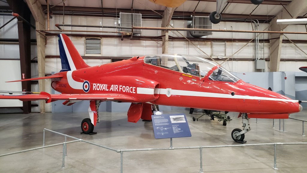
The museum extends outdoors, where a massive yard displays more than 100 aircraft.
Everyone wants to see the 377-SG “Super Guppy.” This freaky style of plane has been used to transport big, light cargo, including Saturn rocket parts during the Apollo Program.

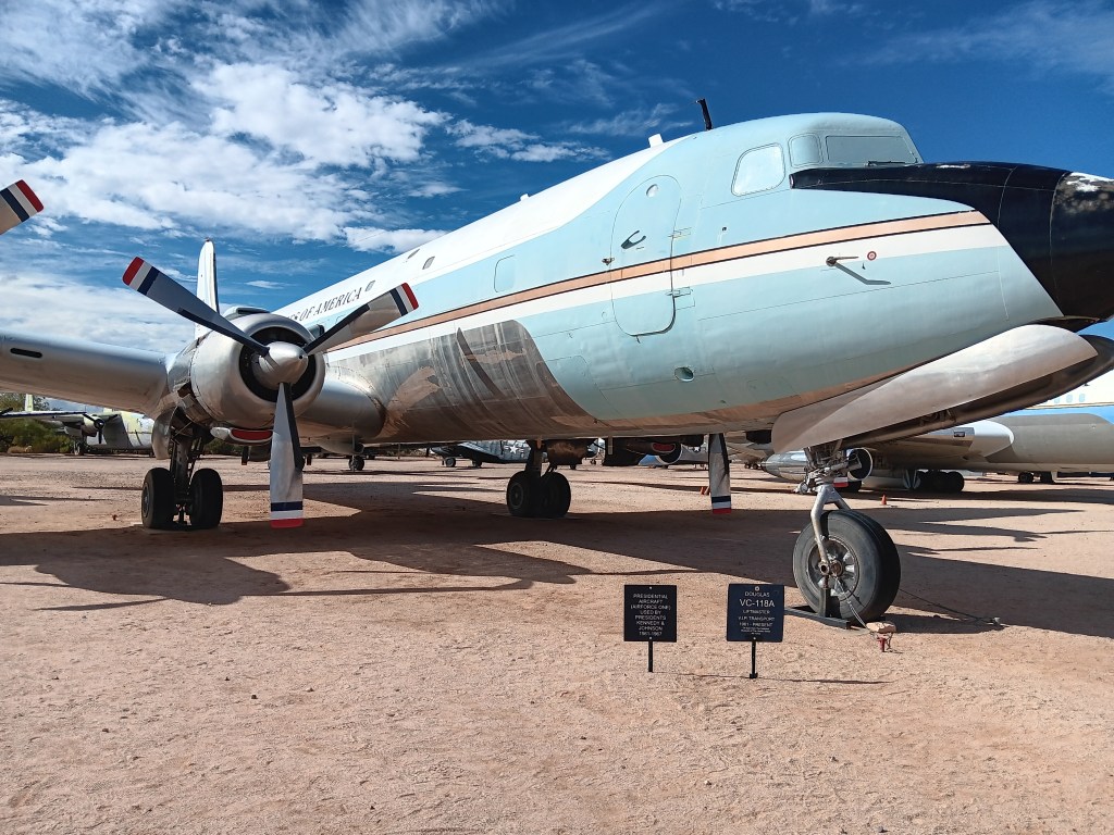
There were several versions of Air Force One, the airplane used by U.S. Presidents. This one was used by both President John F. Kennedy and his successor, President Lyndon B. Johnson.
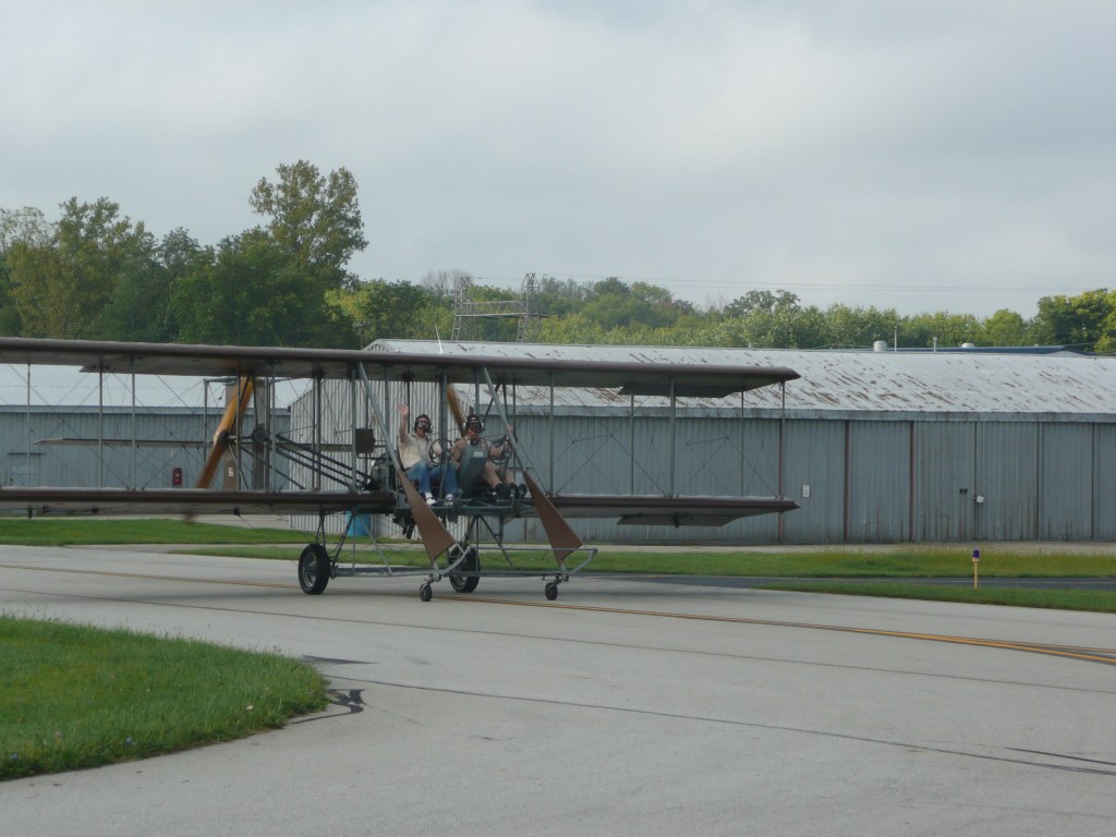
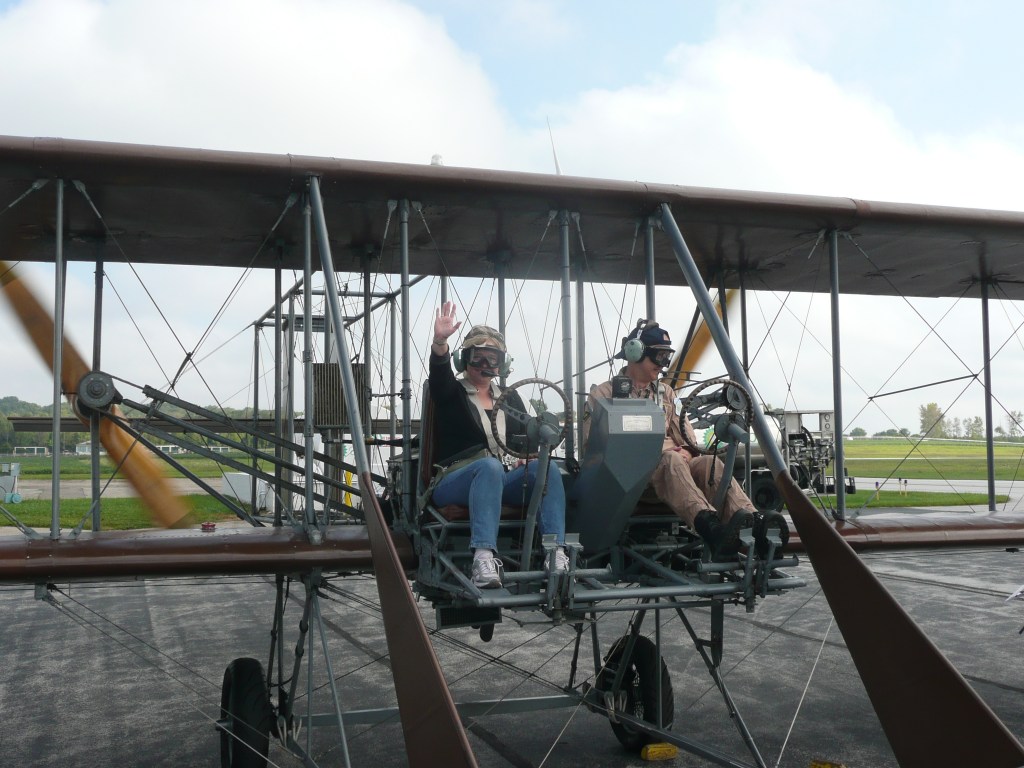
But our sentimental favorite was the Wright Flyer. We were fortunate enough to have been given a ride in the Wright B Flyer when we were in Dayton, Ohio, and during that visit we also spent time with the Wright brothers’ great grandniece Amanda, and their great grandnephew Stephen, who gave us a tour of Wilber and Orville’s home, Hawthorne Hill. With wine.

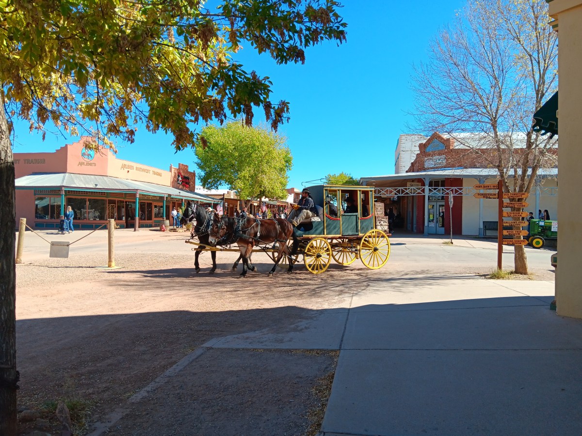
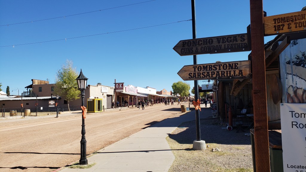
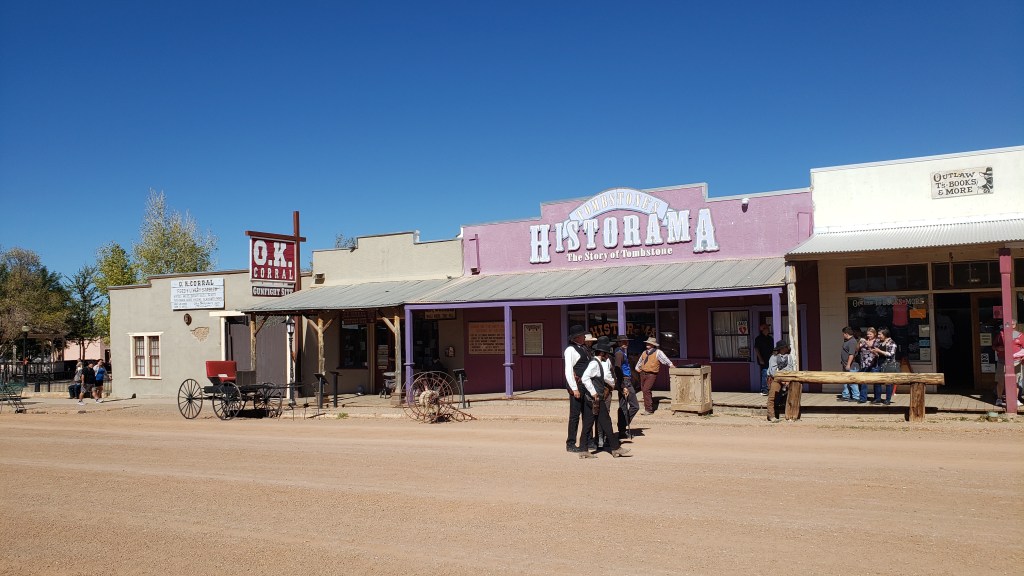
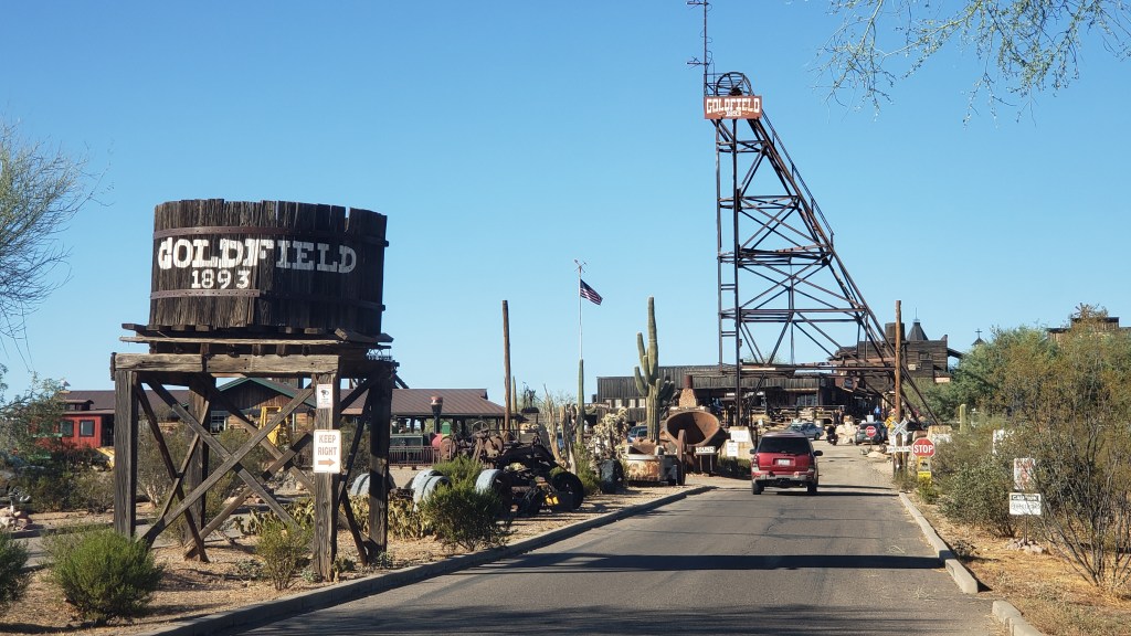
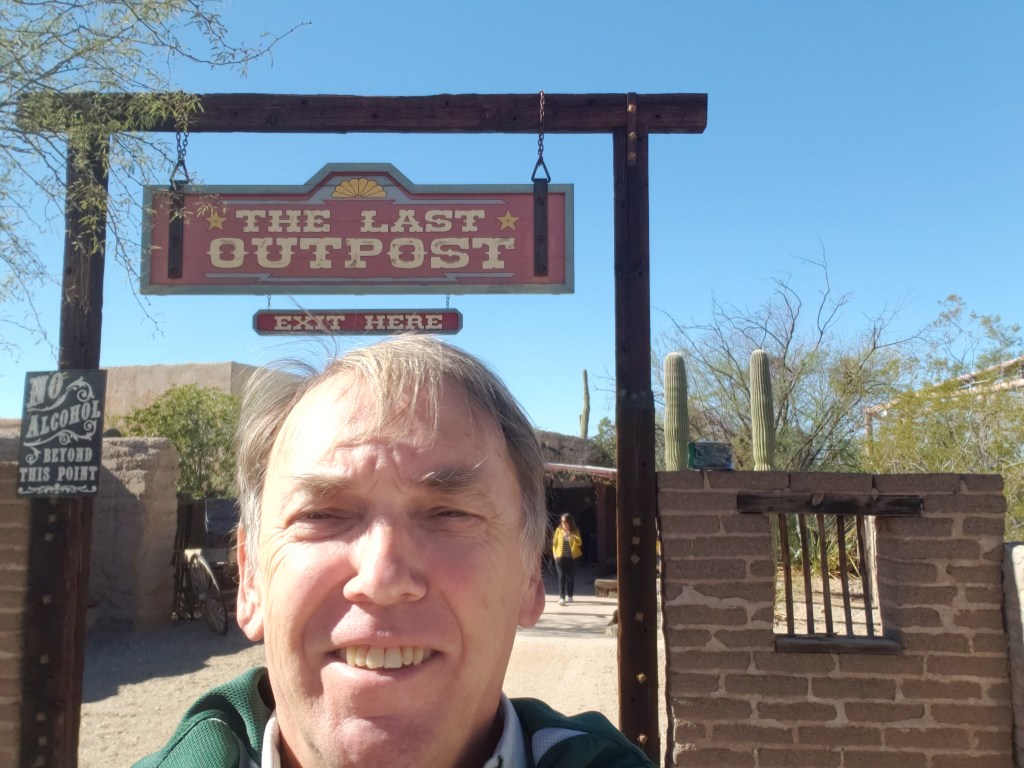
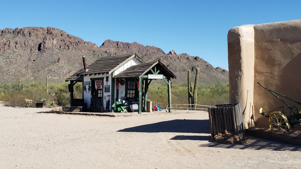
From the high-tech to the wild west, our next adventure was Old Tucson film set and “themed park.” Here, actors including John Wayne, Clint Eastwood, Jimmy Stewart, and even Frank Sinatra and Ronald Reagan acted in movie and television scenes that spanned hundreds of productions.
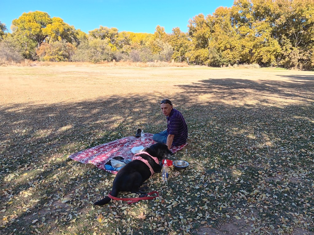
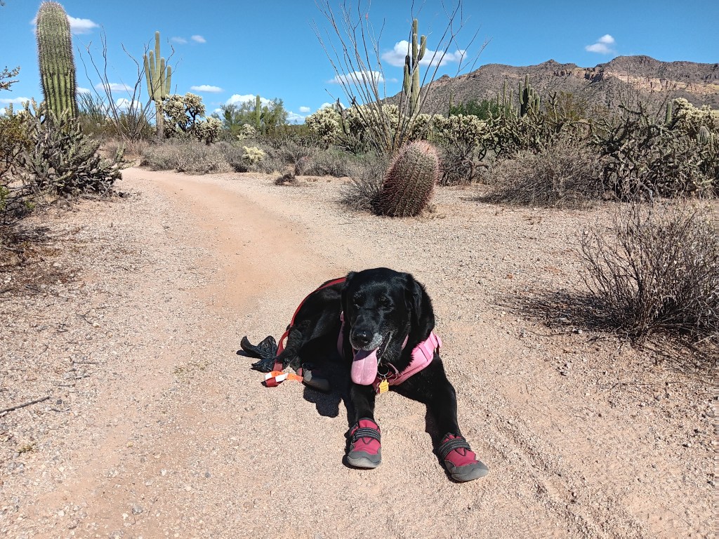
Old Tucson’s new management no longer allows dogs, so Susan and Ruthie headed back up the road for more time in Saguaro National Park. Simon will take over this part of the blog:
Old Tucson had been on my (Simon’s) radar since we first put Arizona on our 12-month map. If you were to put together the Top 5 of all-time Western settings, Tucson would be very close to the top, hence anywhere that celebrated that heritage was going to be high on my list of places to visit. And so it proved.
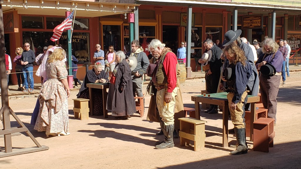
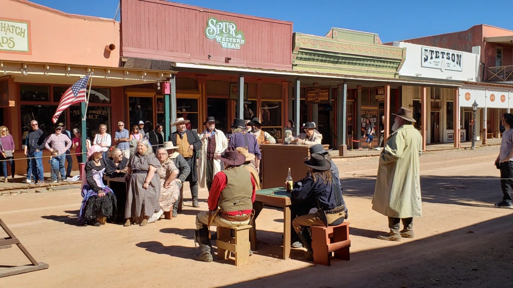
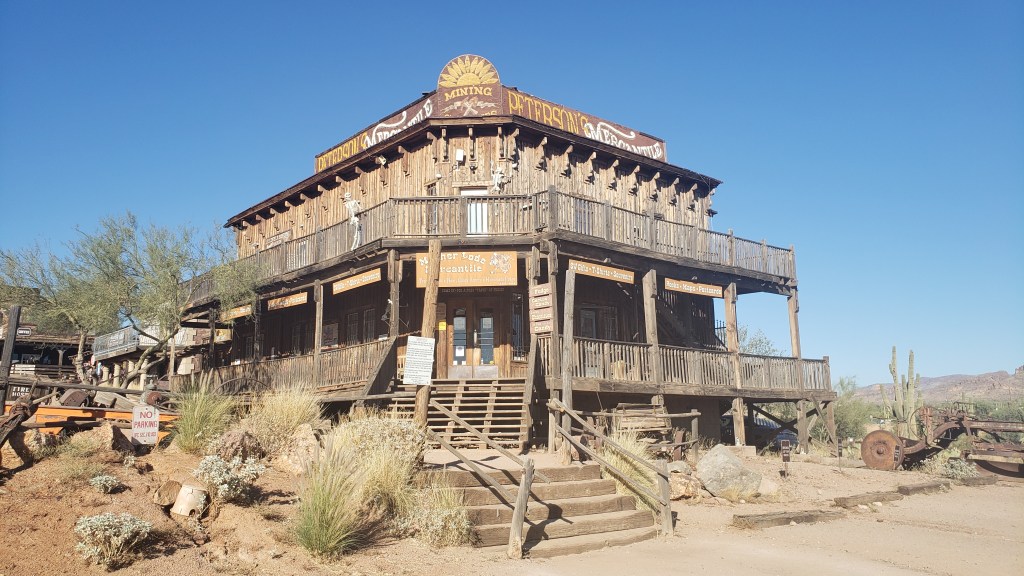
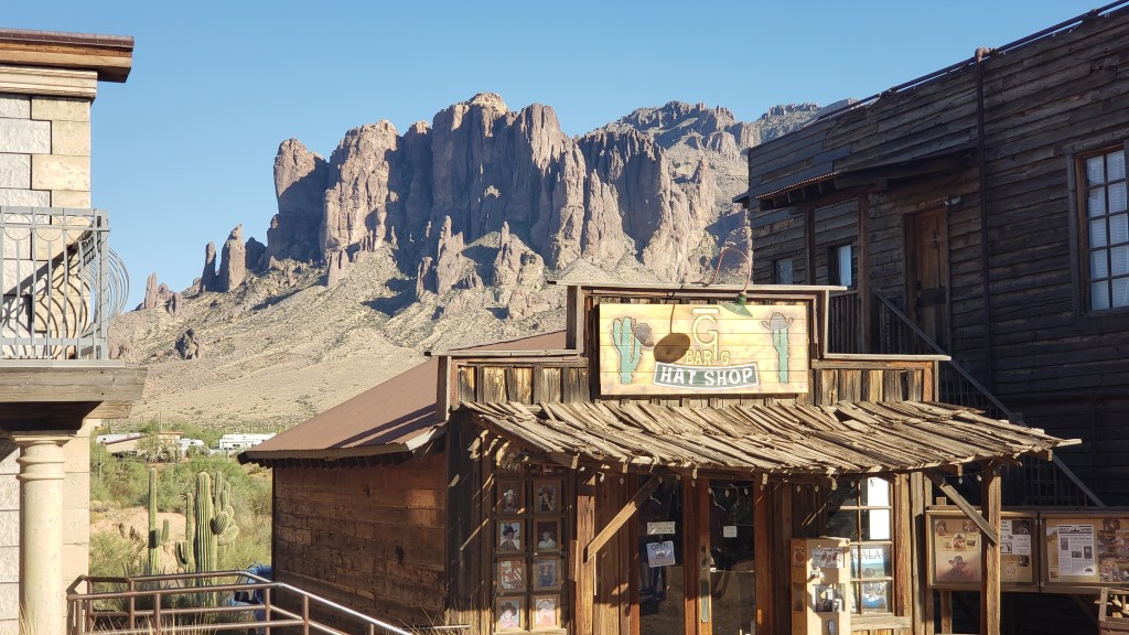
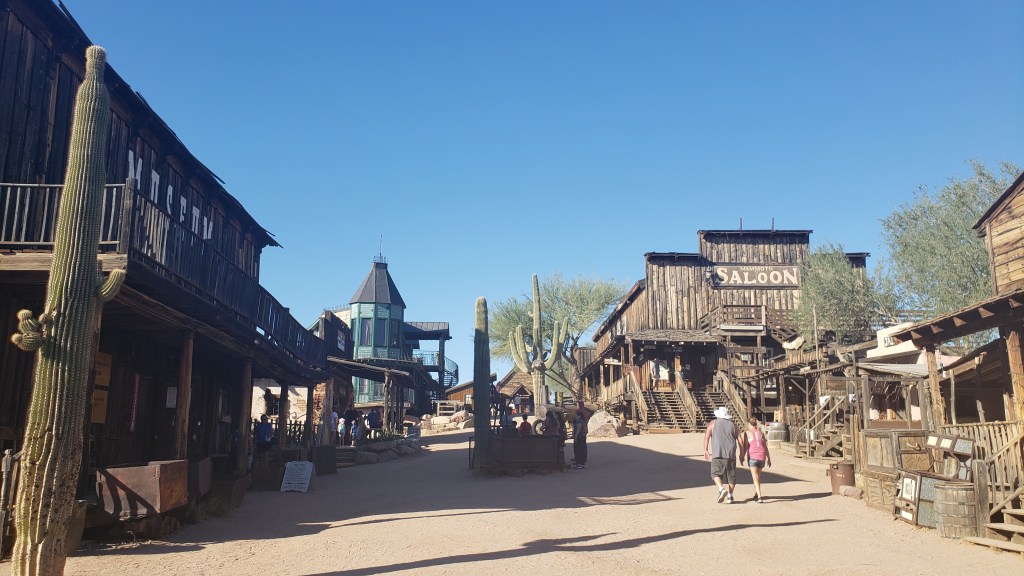
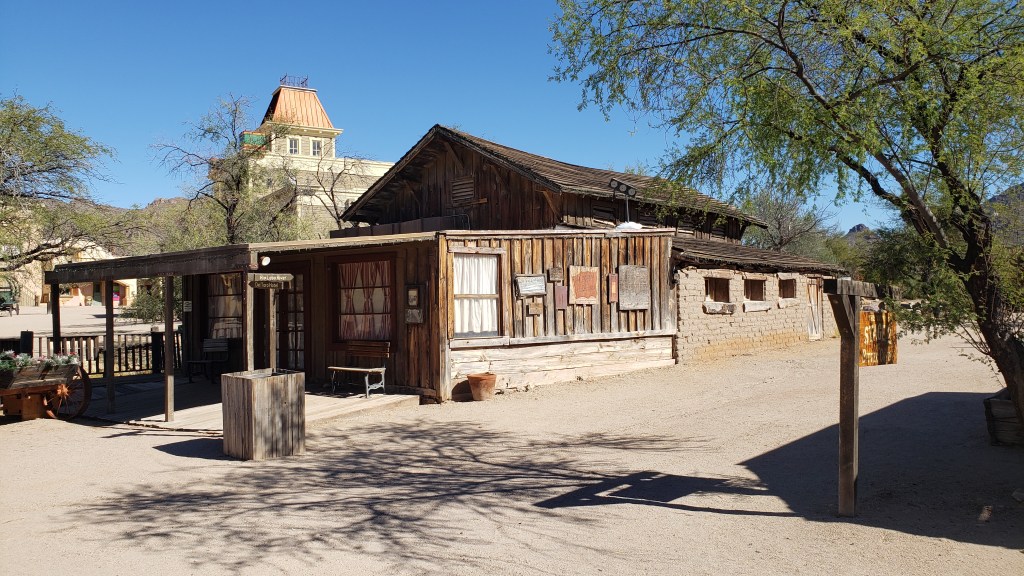
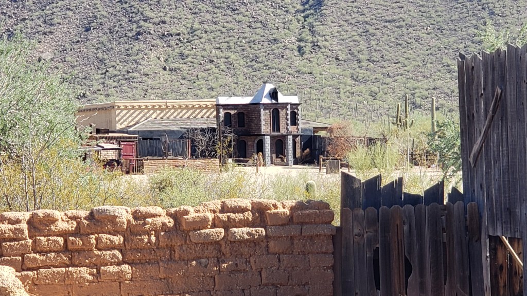
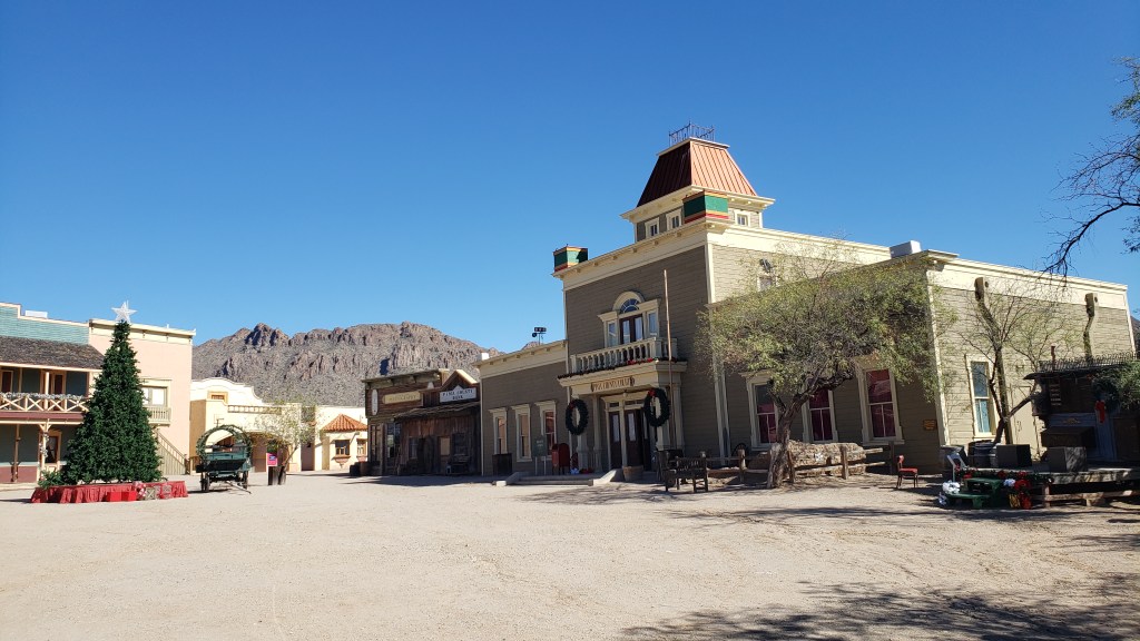
Old Tucson is both an attraction and a movie set; an amalgam of 84 years of acting as a time capsule of the 1860s. Since the first movie was filmed here in 1939, it has played host to dozens of other big-screen productions, as well as numerous TV shows, including Little House on the Prairie and The High Chaparral. It was a setting beloved by John Wayne and Robert Mitchum, as well as countless movie crews who adored its authentic period style. In the 1980s, it was second only to the Grand Canyon as Arizona’s main attraction.
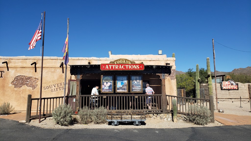
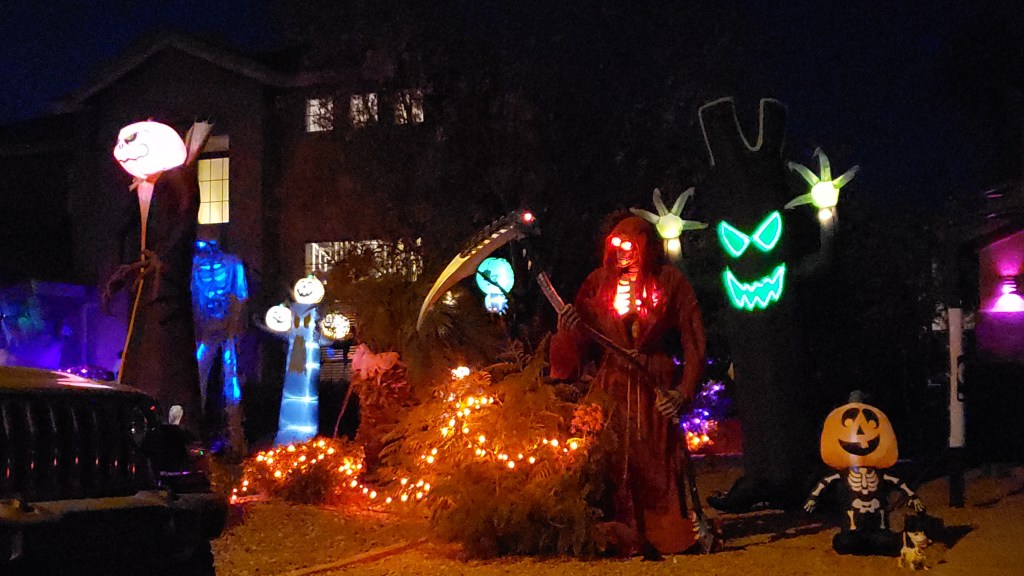
It has been open to the public since 1960 as a themed attraction, and today it’s possible to take guided tours of the whole site, in addition to just visiting for their special events at different times of the year (notably for Halloween and the Holidays). And what a trip down Memory Lane it proved to be.
Having grown up on “cowboy films,” including all four Wayne movies that were shot here in the 1960s (McClintock, Rio Bravo, Rio Lobo, and El Dorado), it was like revisiting my childhood, seeing the iconic settings for that quartet, as well as many other visual references to the Western genre. Our tour guide was a non-stop source of info and anecdotes, including a series of continuity blunders and other errors made by the film-makers themselves!
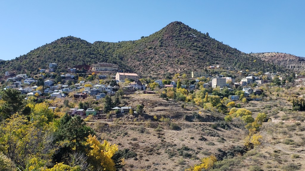
The city of Tucson still has echoes of its 19th century roots in the Barrio Viejo section of the city, but it doesn’t come close to the three-dimensional reality and nostalgia of Old Tucson. The tour lasted almost 90 minutes from start to finish (it was listed as 45-60 minutes, but the tour guide growled, “I’ve never finished a tour in 45 minutes in my life!”), and it was a brilliant insight into the living history of the Western.

It is still being used as a movie and TV venue today, for Westerns and non-Westerns alike, hence you may see it in films such as Revenge of the Nerds, Terminal Velocity, and Nemesis, in addition to appearances on TV for programs like Good Morning America, various quiz shows, and others.
But it’s the Western back-drops that make Old Tucson special and, if you’re coming here for nostalgia and insight, you’re definitely on the right stagecoach!
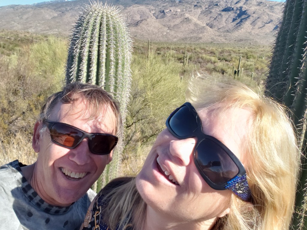
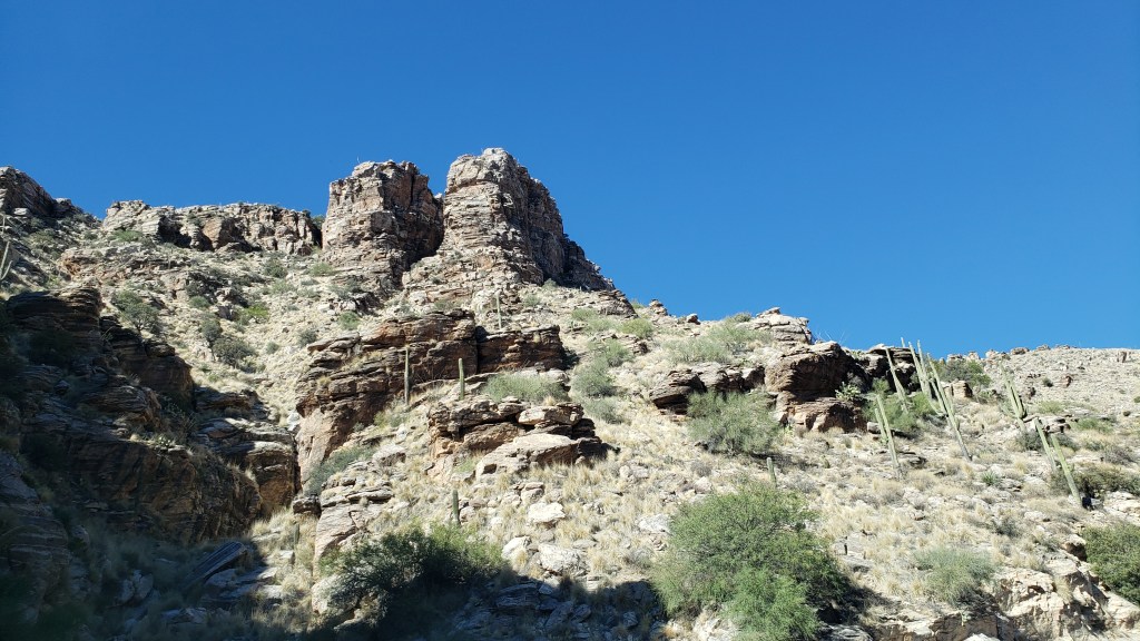
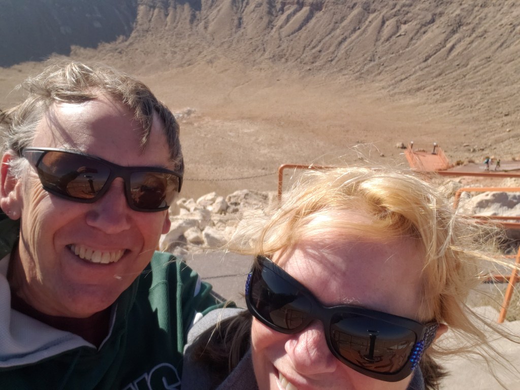
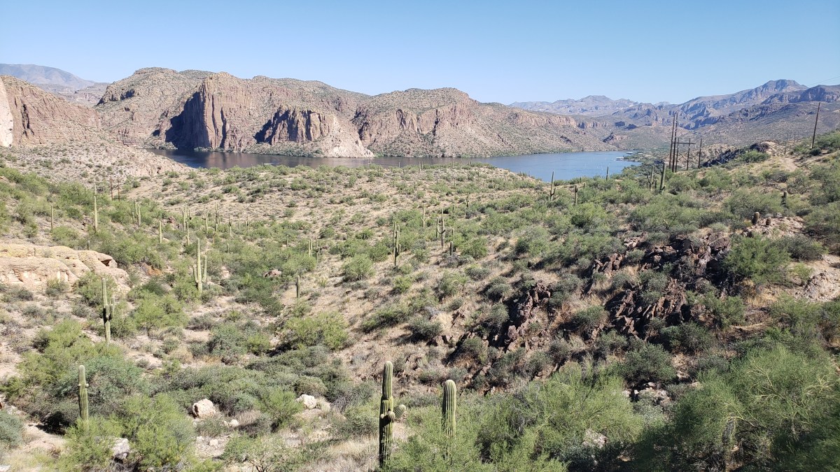
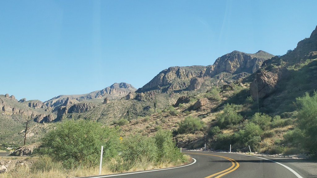
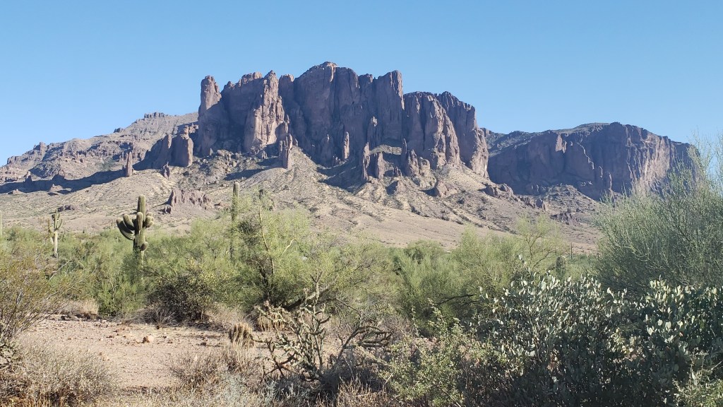
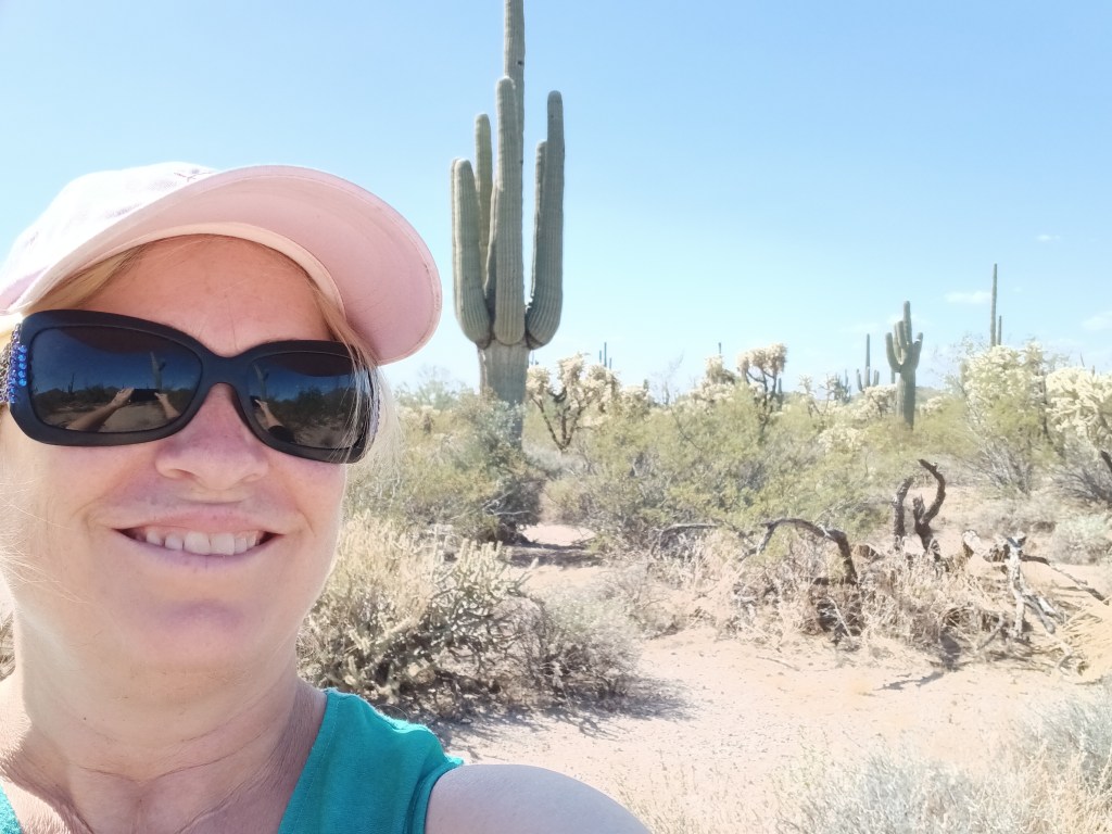
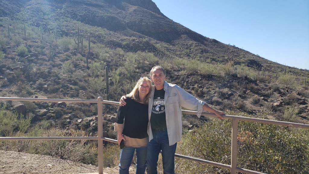
(Susan here again) On the way back to Tucson Simon wanted to recreate a photo he remembered from our first trip over the mountain pass on our way to Saguaro National Park. Simon remembered it well, describing the two of us smiling in front of a big saguaro cactus, and the railing near where we were standing. I didn’t remember it at all. I think you’ll agree we nailed it.

As our days in Tucson drew to a close, we also fulfilled another experience on Simon’s wish list (and mine) with a night-time visit to Spencer’s Observatory, where we had the small observatory and its resident astronomer to ourselves.
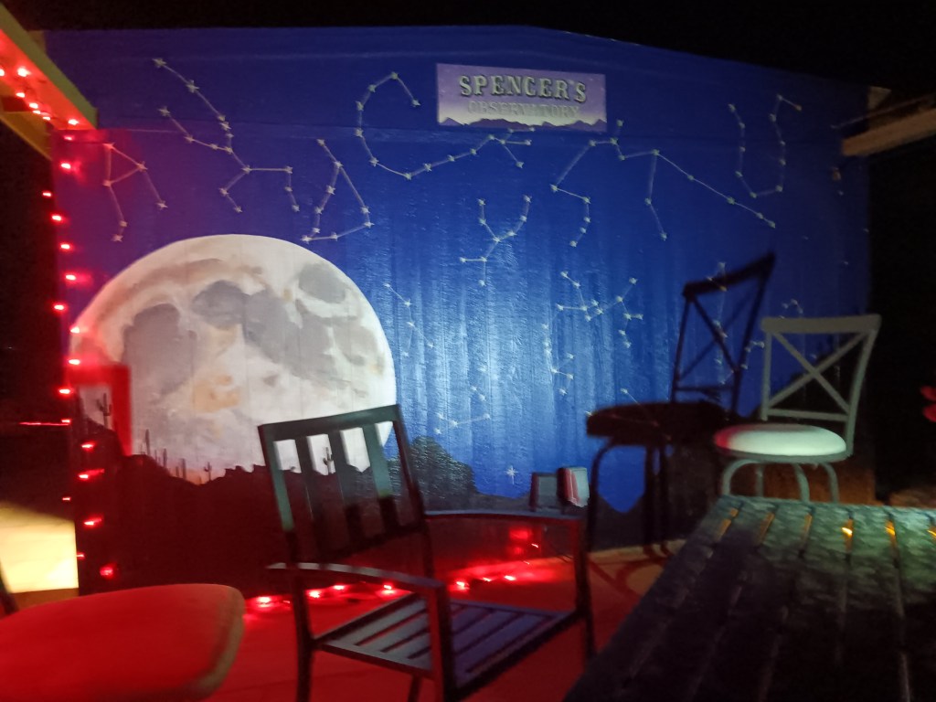
We so wish we had photos of the absolute magnificence we saw through the telescope. Saturn first, then the Moon, then Jupiter, each so clear we could hardly believe the images were real. Saturn’s rings were perfectly distinct. Three of Jupiter’s moons and its iconic red bands were easily visible. And the moon? You know it so well, from earliest childhood, but seeing each of its craters and mountains in sharp relief is next-level mind-blowing.
We’d been through 19 states, into Canada, along the border with Mexico, and now, 921.03 million miles into space. It was truly one of those experiences that burns into your brain and never leaves you.