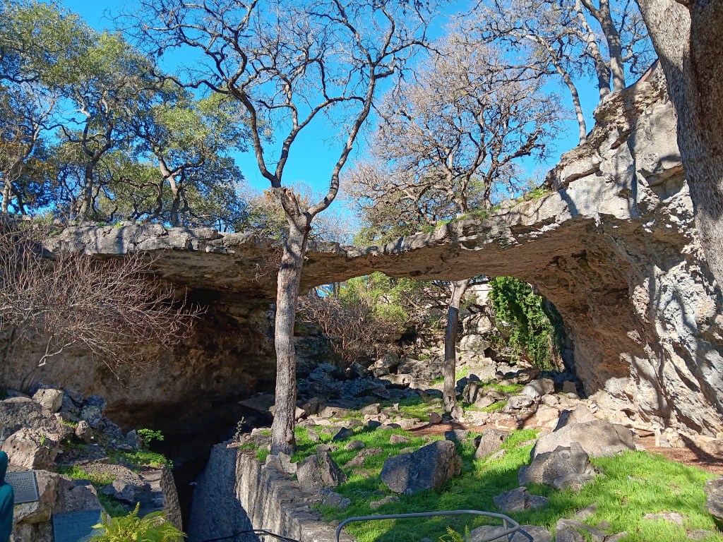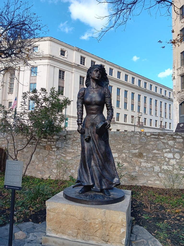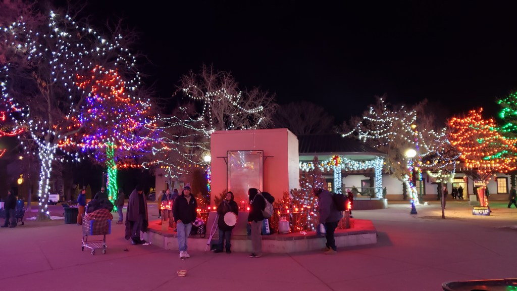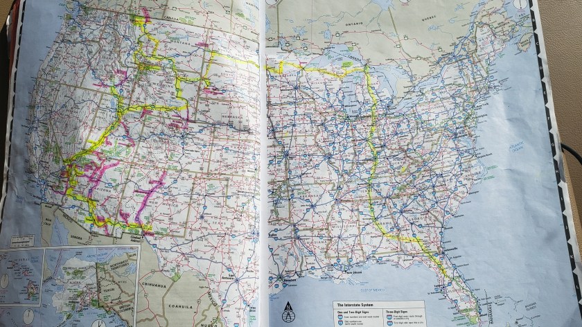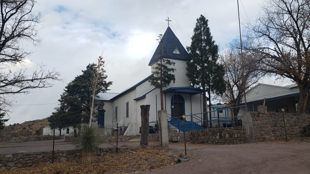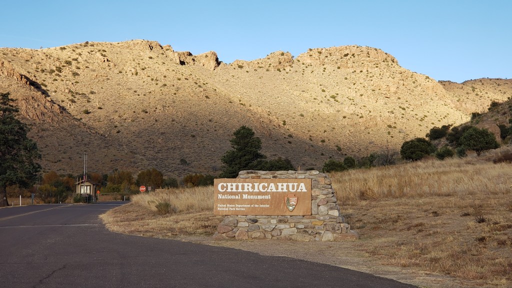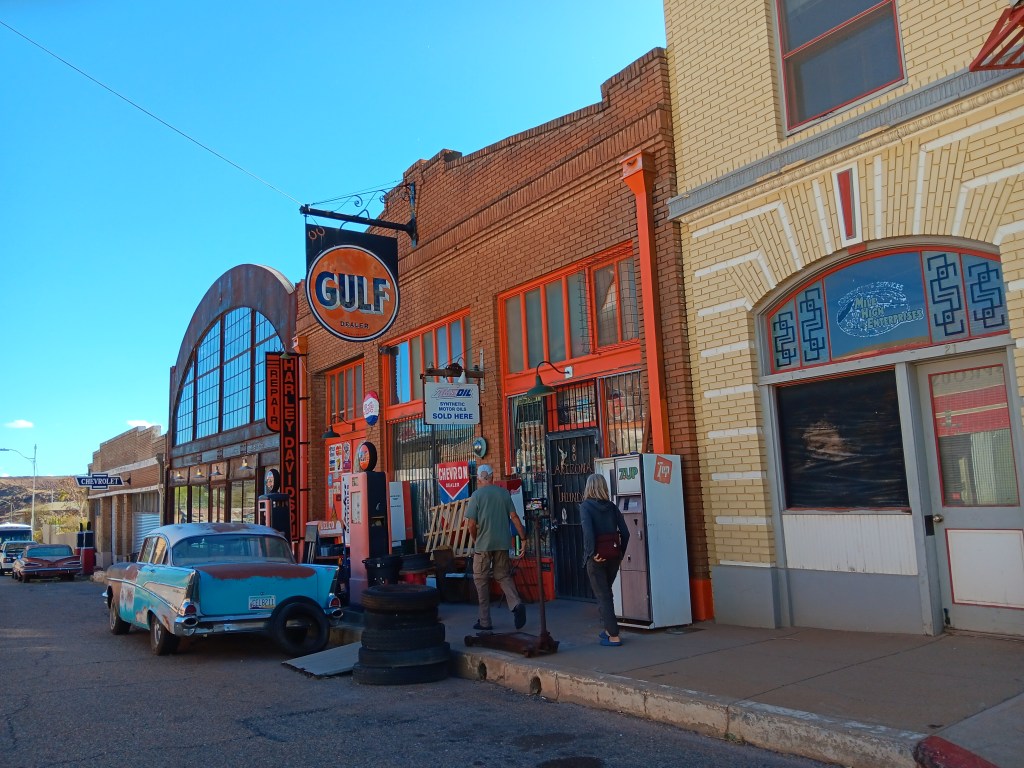
Even though we live inland, Florida’s Gulf Coast has been a presence in our lives for nearly two decades. We write about it, we watch it for hurricanes, and we’ve traveled its full length for work and for enjoyment. Little did we know how much we’d feel that old familiar friend’s presence again.
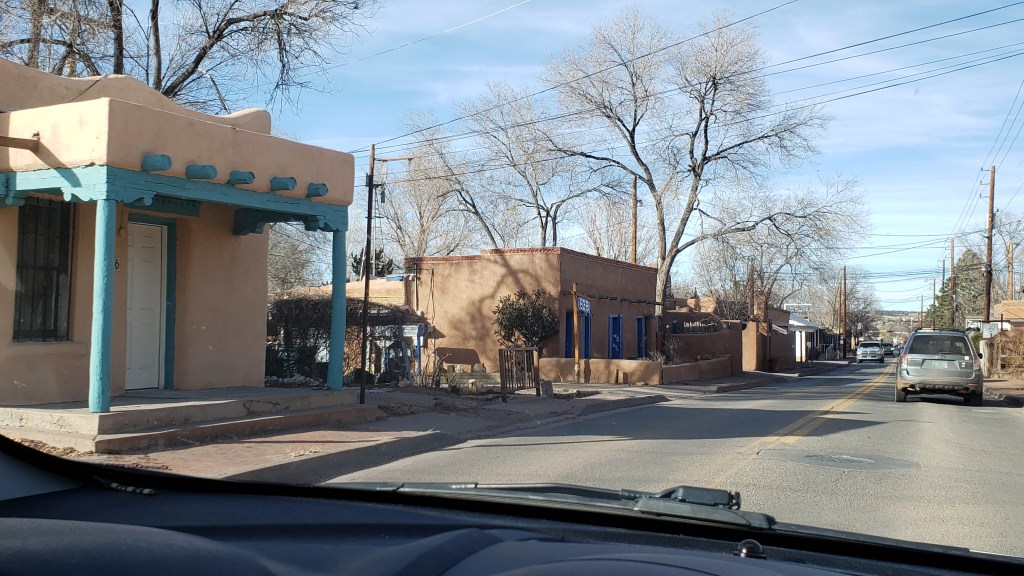
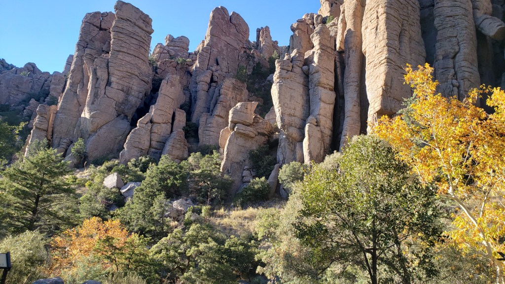
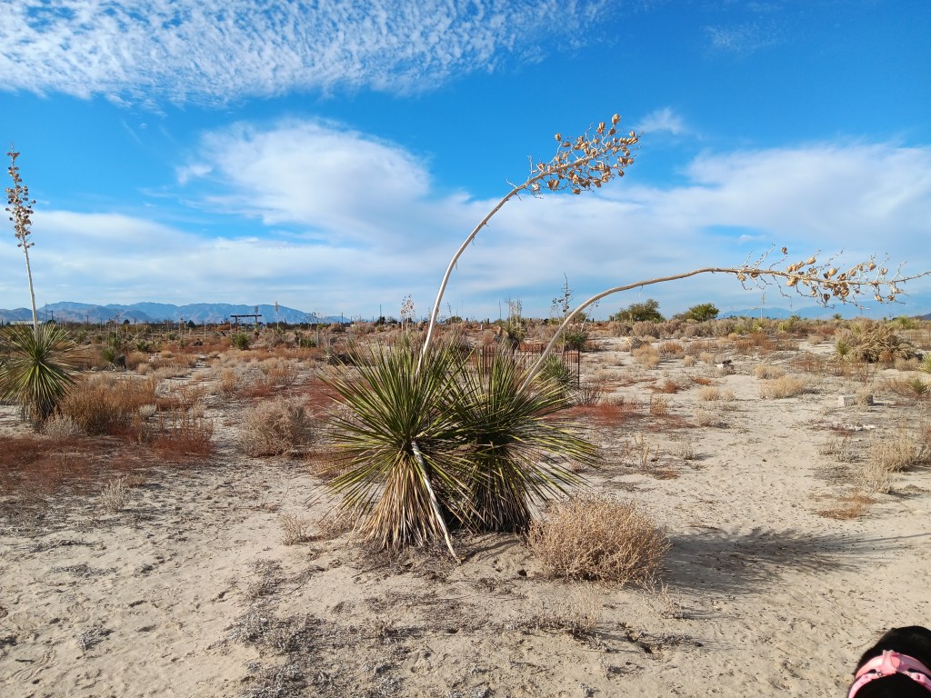
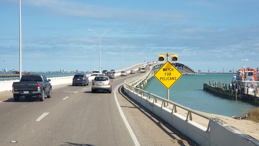
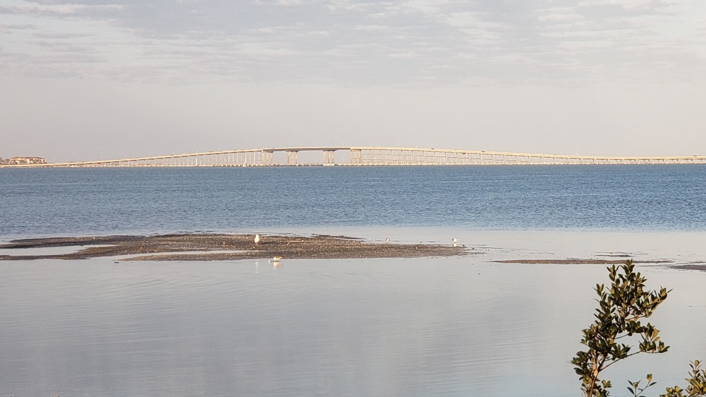
After being in the mountains and the desert for so long, the coast, the smell of water, and the humidity came as a slight shock. What also came as a surprise was the look of South Padre Island. We had to remind ourselves over and over that we weren’t in Daytona, or Clearwater, or Miami after we crossed the big causeway over the Intracoastal Waterway. Had we been blindfolded and dropped on one of the area’s three main drags, we’d have put money on being in Florida.
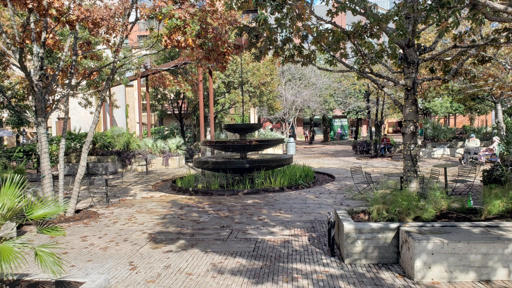
South Padre also stands out as having its own character. Very touristy in the heart of the strip, but when we drove to the literal end of the road, it felt like we were in Michigan’s upper peninsula, driving right along Lake Michigan’s coast, with sand dunes on both sides and not a whole lot else.

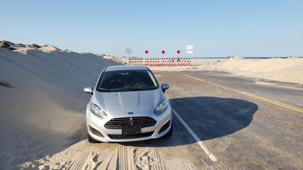
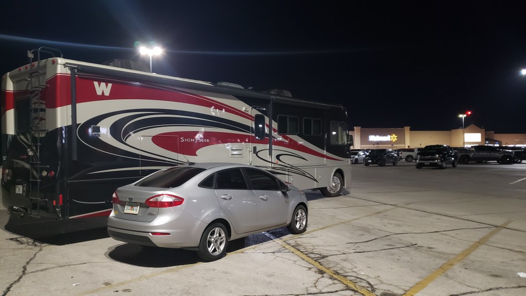
At this remote end of the island, we found lots of RVers boondocking (camping with no hookups). Several vans and a few Class Cs and Fifth-Wheels were parked right off the road, obviously hanging out for several days.
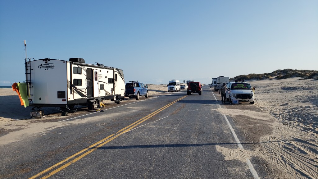
We walked along the hard-packed beachfront, took cheeky side-eye glances into other people’s rigs (from a respectable distance), and appreciated the solitude while also knowing it wouldn’t work for us. Apart from anything else, we couldn’t have turned Fati around in such limited space.
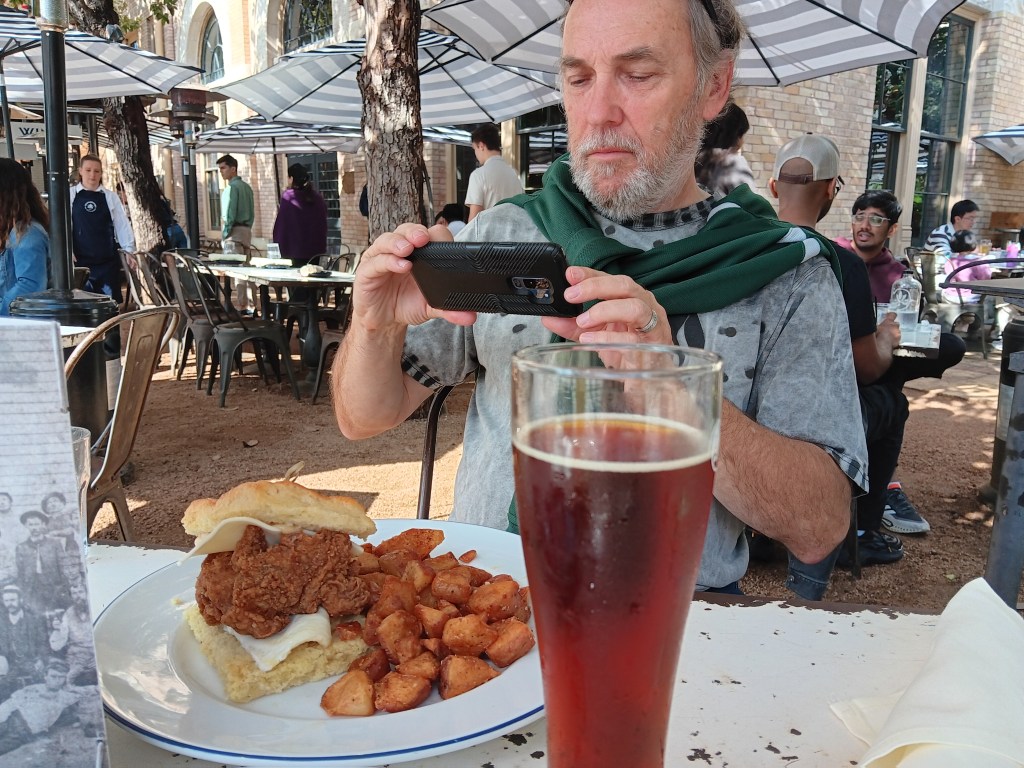
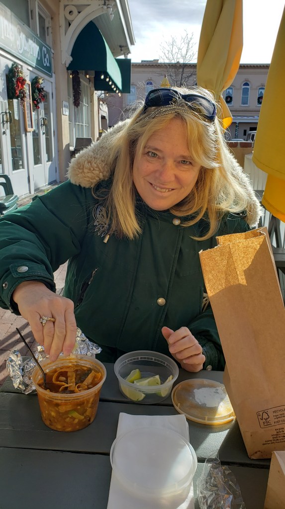
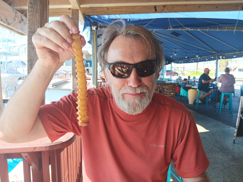
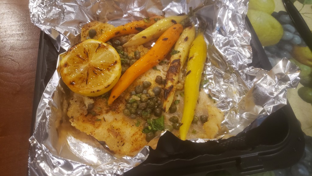
Lunch at Mahi Nic – which came as a recommendation and was right along a canal – felt exactly like being at one of hundreds of waterside dining spots we’ve been to in Florida. We both ordered hot dogs (bacon-wrapped Captain Hearty dog for Simon, with chipotle mayo and pico de gallo; Nate Dog for Susan, with mustard, ketchup, onions, and pickle relish), with a side order of fries.
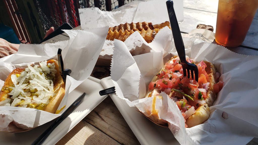
This is not something either of us would usually order, and we don’t know what possessed us. We do know the dogs were superb, and the fries were as big as our heads. We also now know that Susan can’t eat hot dogs that have a lot of garlic in them.
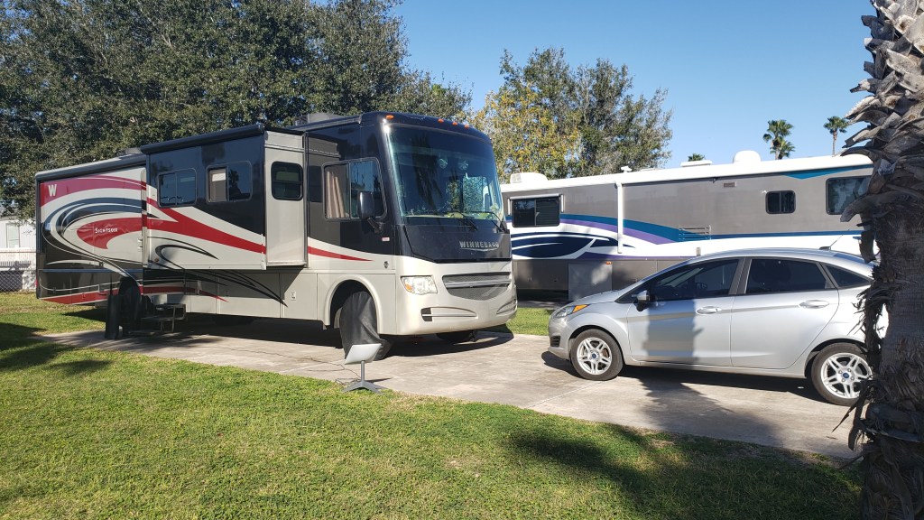
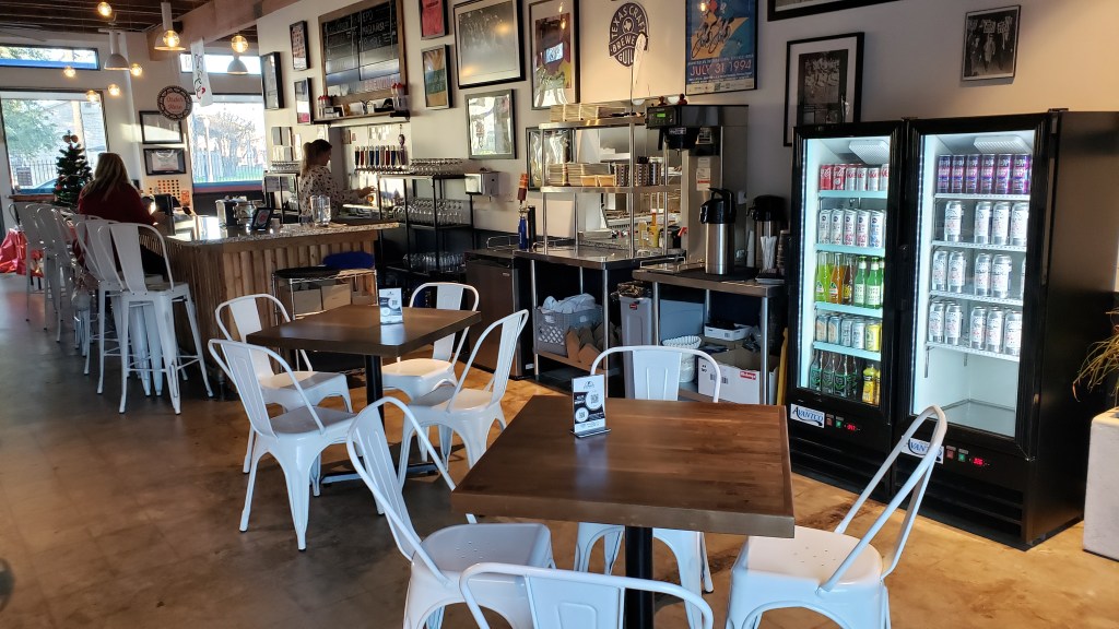
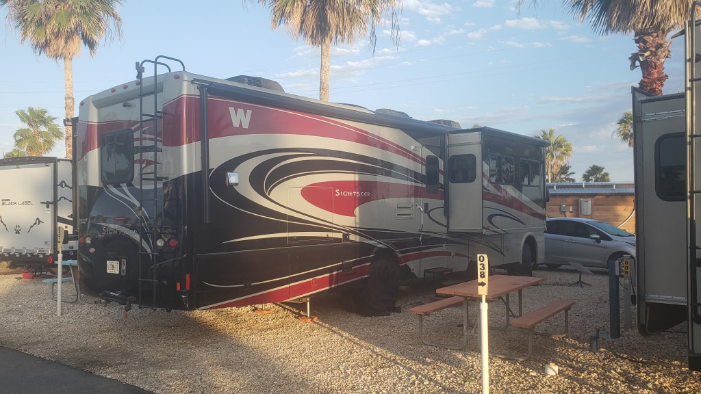
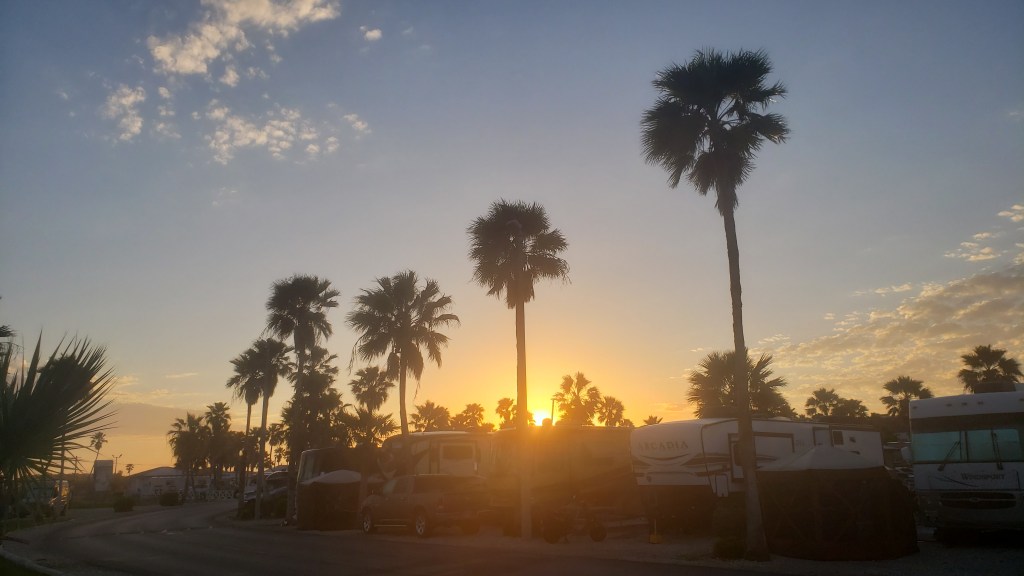
We had a nice wander around the beach, but both of us were really tired. It had been so long since we’d broken camp and moved in Fati, and the wind had been strong enough during our drive to require extra concentration and arm muscles, we really did feel the effects. South Padre Island KOA Holiday made a pleasant waterside base for our stay, and we were quite happy to relax a bit, enjoying the sound of the breeze through the palm trees.
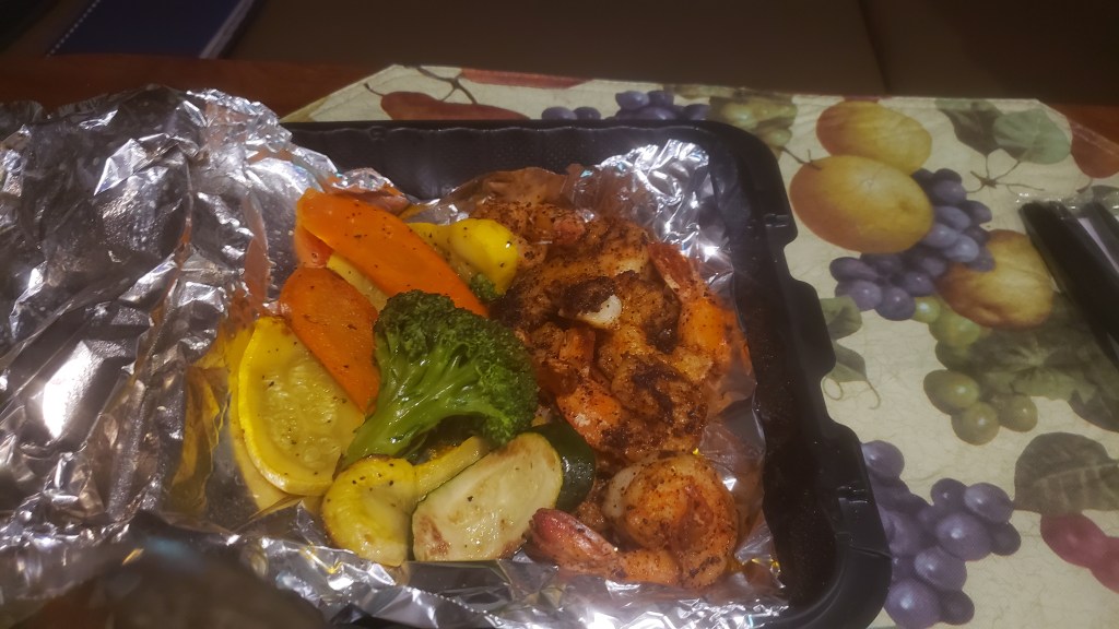
Dinner that evening came from Viva, and had it been warmer outside we probably would have eaten at their indoor-outdoor dining room that faced the Intracoastal Waterway. Instead, we got a carry-out and ate at home, then called it a night after watching two episodes of the Great British Baking Show, our go-to indulgence when our brains don’t want to think anymore.
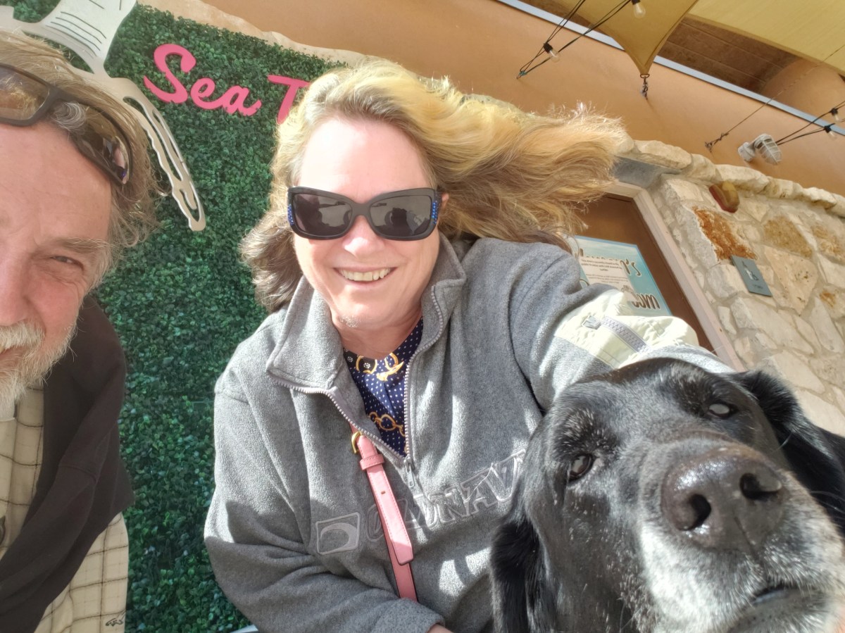
We were up and out relatively early the next day, heading for breakfast at Josephine’s Kitchen. Susan went for two feather-light crepes with fruit, Simon dove into the Avocado Benedict, and our server brought Ruthie the best “pup cup” she’s ever had in her whole wide life. It was filled with bacon and blueberries, but she decided there was no reason to eat blueberries when bacon was around.


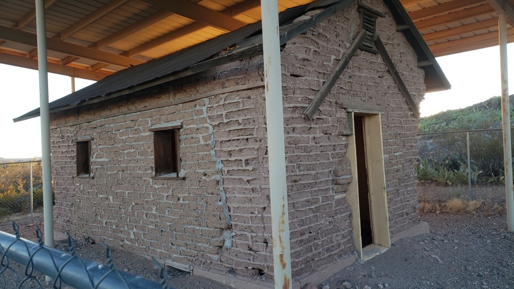
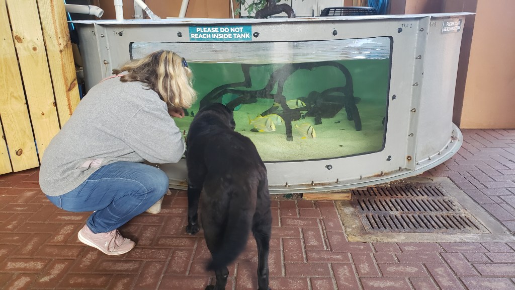
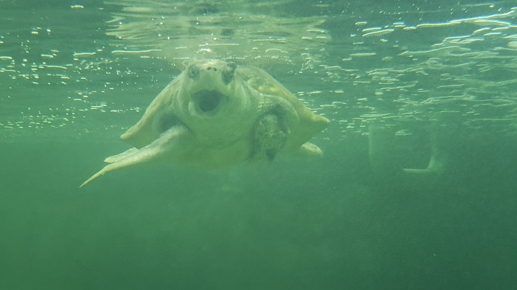
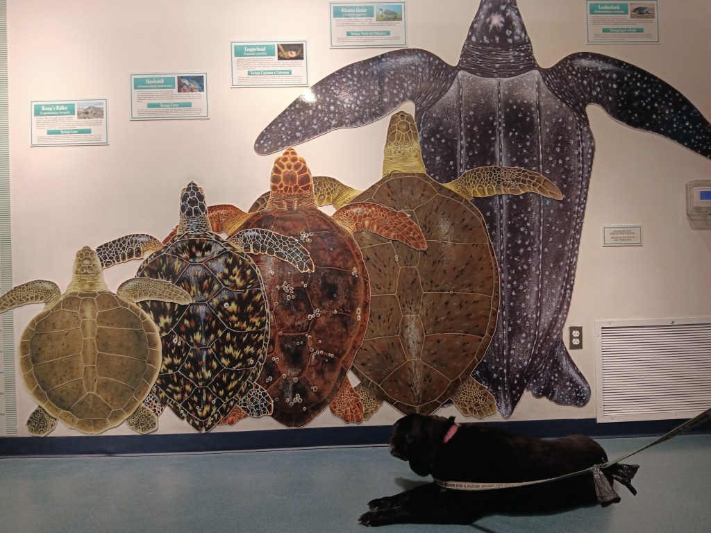
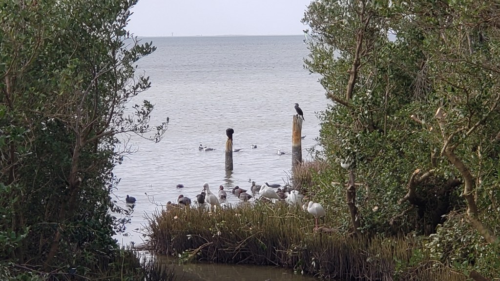
Next we popped over to Sea Turtle, Inc. This small operation rescues and rehabilitates sea turtles, and the facility had several long-term and short-term residents, as well as interesting displays featuring the local sea life. It’s all about education, and again, we felt very much like we were back home in Florida.
Think whatever feels comfortable for you about SeaWorld in Orlando, but do bear in mind, the work they do rescuing and rehabilitating sea turtles, manatees, and other living beings is absolutely second to none. We know their facilities well, and it’s astonishing how much they’ve added to the welfare of the seas and sea life.
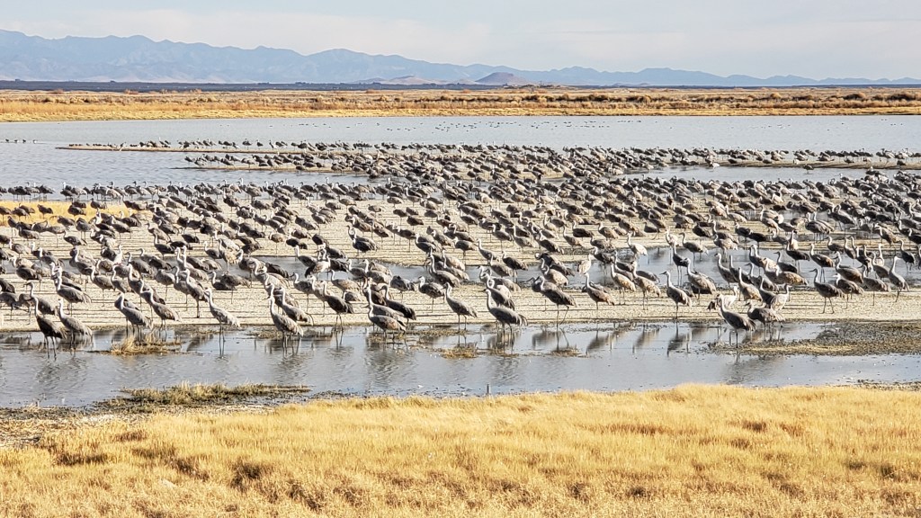
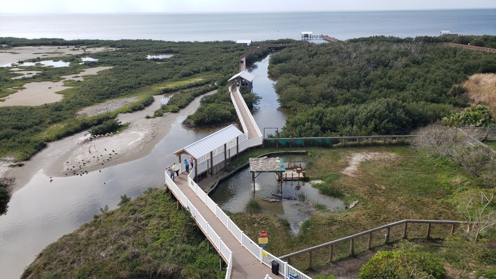
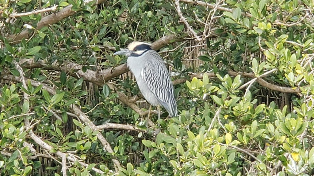
The South Padre Island Birding and Nature Center was right next door, and we could easily have spent hours there, even though we don’t consider ourselves birders and can’t identify most of what we’re seeing. What a fantastic place! When migrations are going on, it must be utterly spectacular.

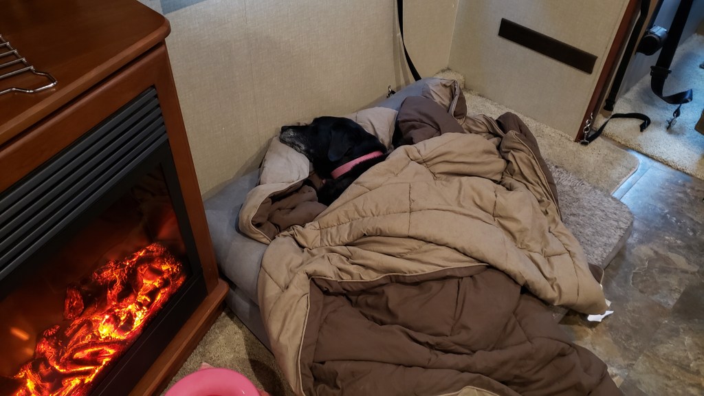
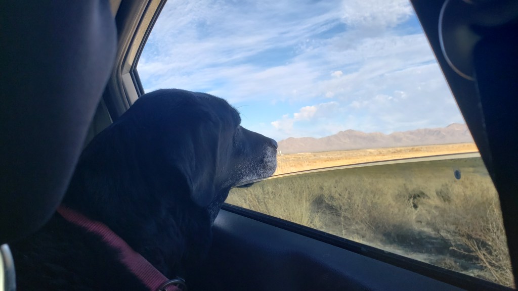
Although the facility is mostly outdoors, dogs are not allowed on the walkways. We understand this; dogs bark, and birds don’t like that. Still, our Ruthie would have loved it. So many good sniffs!
Bob. It’s Bob.
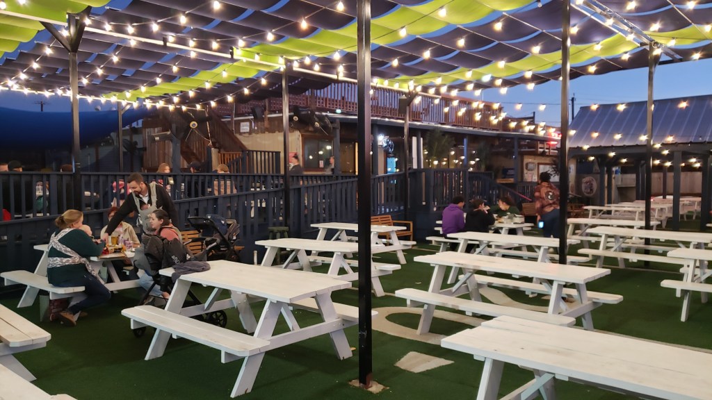
Directly across the main strip from the birding center was Clayton’s Beach Bar, “the biggest beach bar in Texas.” Simon cannot pass up places like this. It is simply impossible for him to do so. Two fish sandwiches and a beer each later, we were perfectly chilled and in the mood to pass judgement upon those who were dancing to the band that had begun to play.
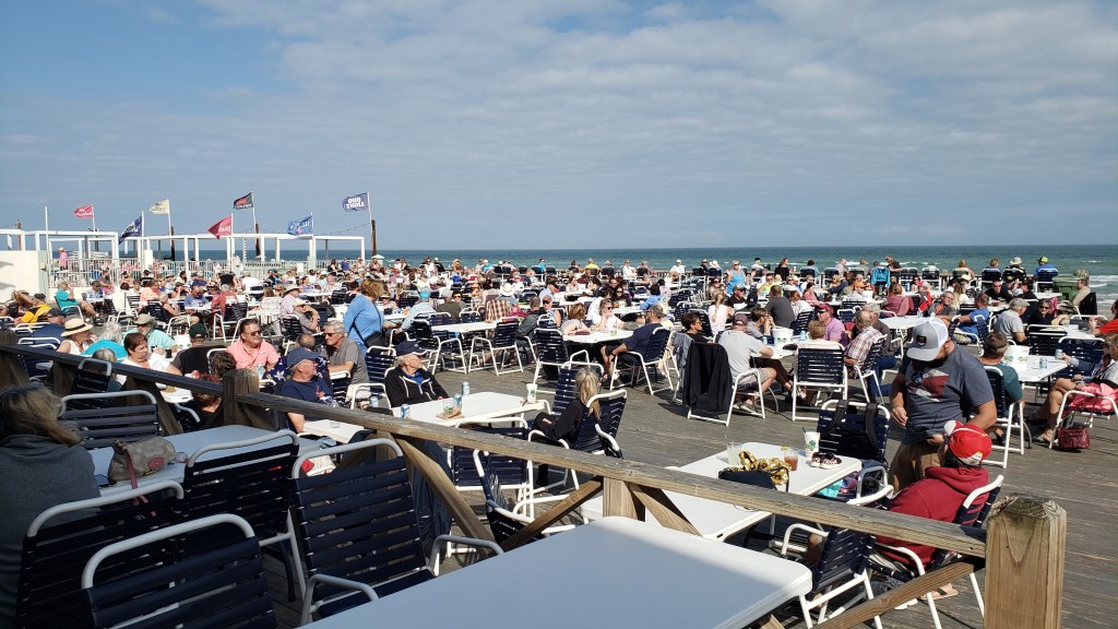

When the band showed up Simon said, “They’re going to open with something big. ZZ Top, maybe.” What they really opened with was something akin to a dirge. Very funeral-sounding, and nothing we could identify. It didn’t get a whole lot better from there, and when people started dancing to “I got friends in low places,” it looked like none of them were dancing to the same song, or to the song that was actually being played. But they were having fun, and that’s all that counts, so we bid them a silent goodbye and went back to Fati until dinnertime.

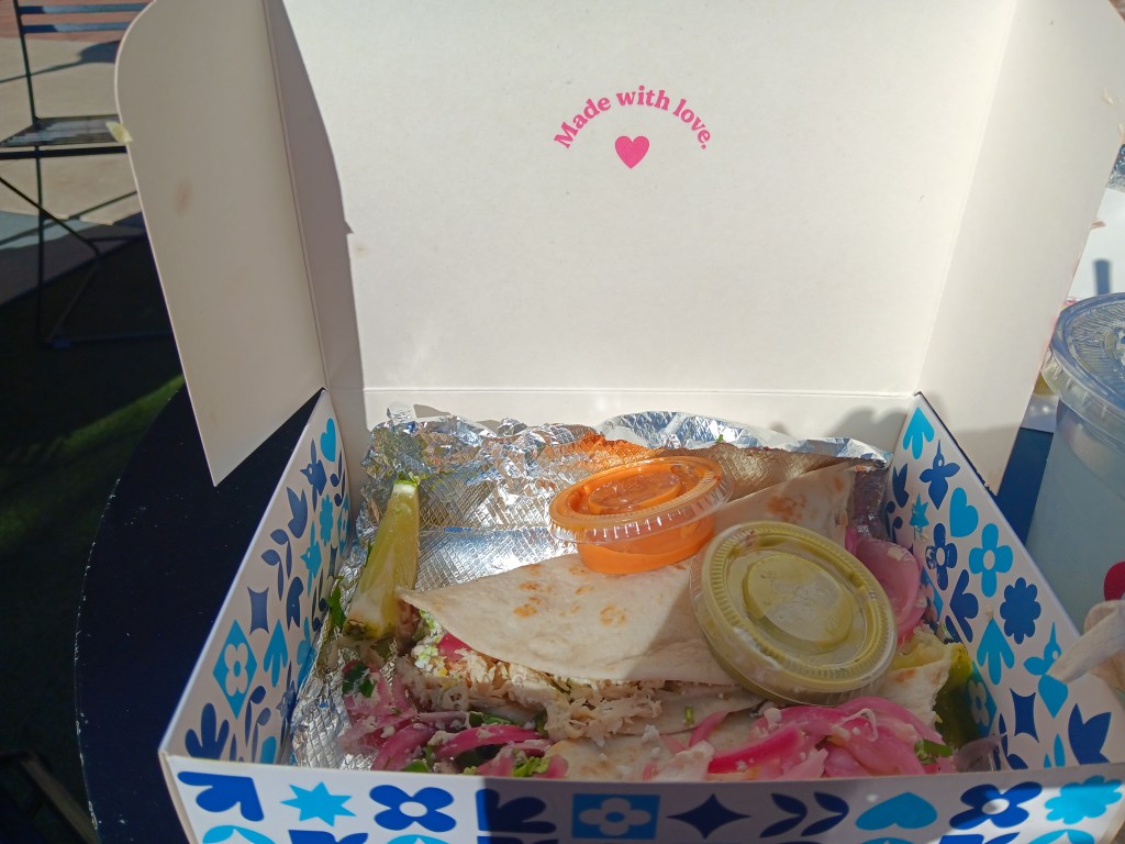
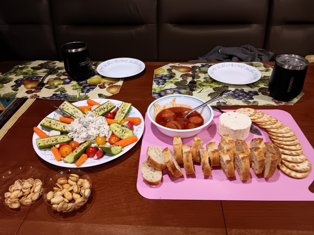
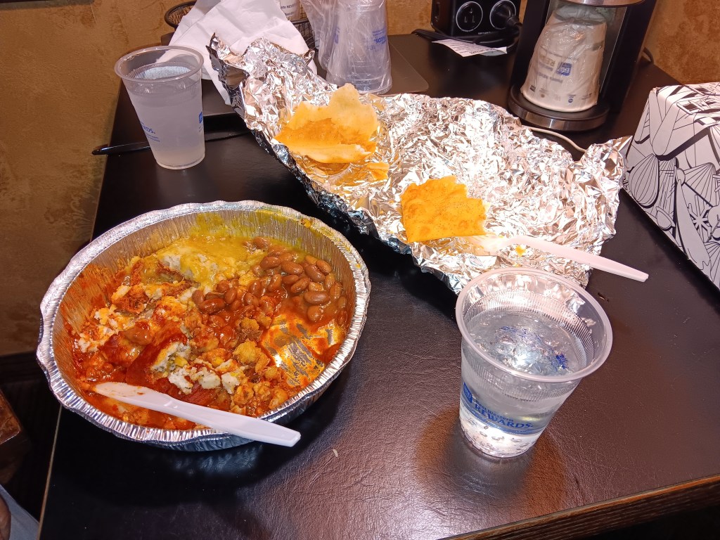
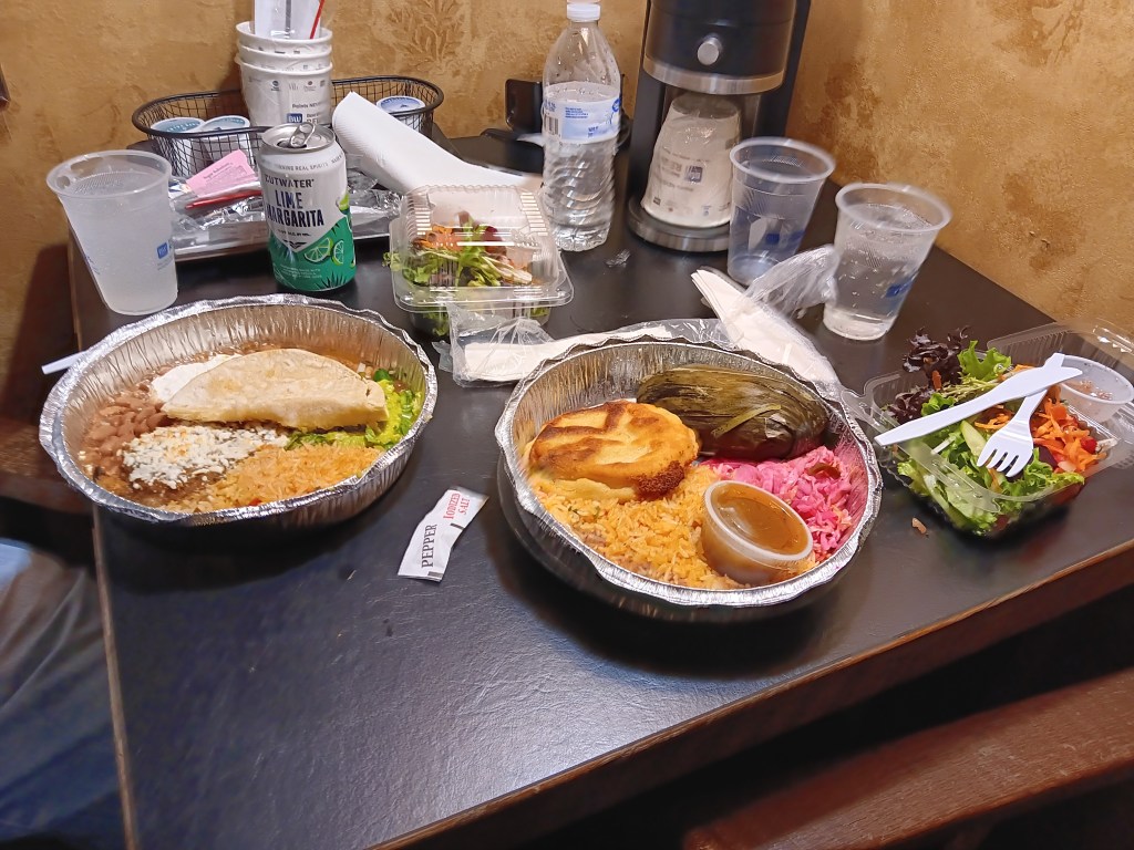
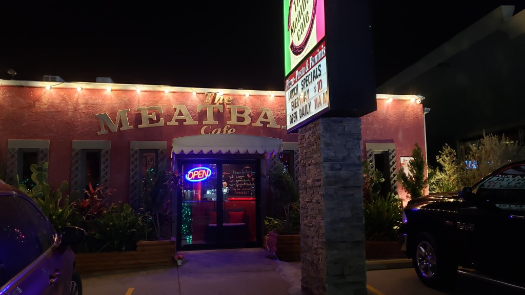
Meatball Café was our choice for the evening, partly because Simon had been craving pizza, Susan can’t have it, and the café offered eight-inch pizzas, salad, bruschetta, and calamari. Half a side salad and some bruschetta was enough for Susan, and Simon was a happy boy with his pizza. We have no photos of this meal. We don’t know why.
We’d done a lot of dining at or from restaurants, as the area’s tourism was eager for us to try several restaurants, and we had enough left over to see us through the next day. We were so full afterwards that we may have skipped a meal…or two.