On The Trail Of The Oregon Trail


Whenever we see a daunting mountain or endless rolling hills we think of the pioneers who made their way west with no smooth pavement to ease their rattling teeth and overworked horses or oxen. The Laramie Range at the southern edge of Casper, Wyoming was one such obstacle that proved the people who pushed westward let nothing stand in their way.
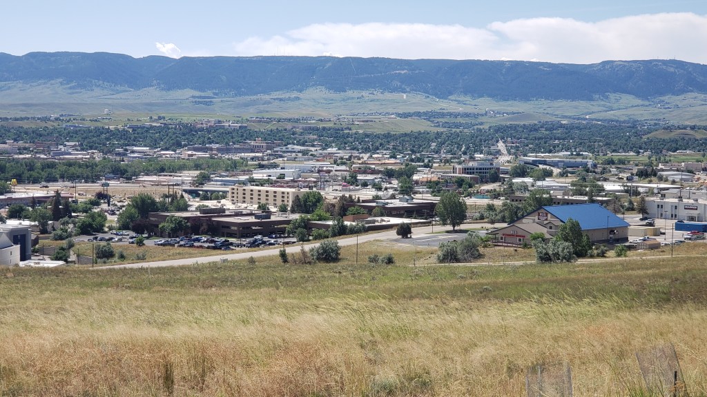
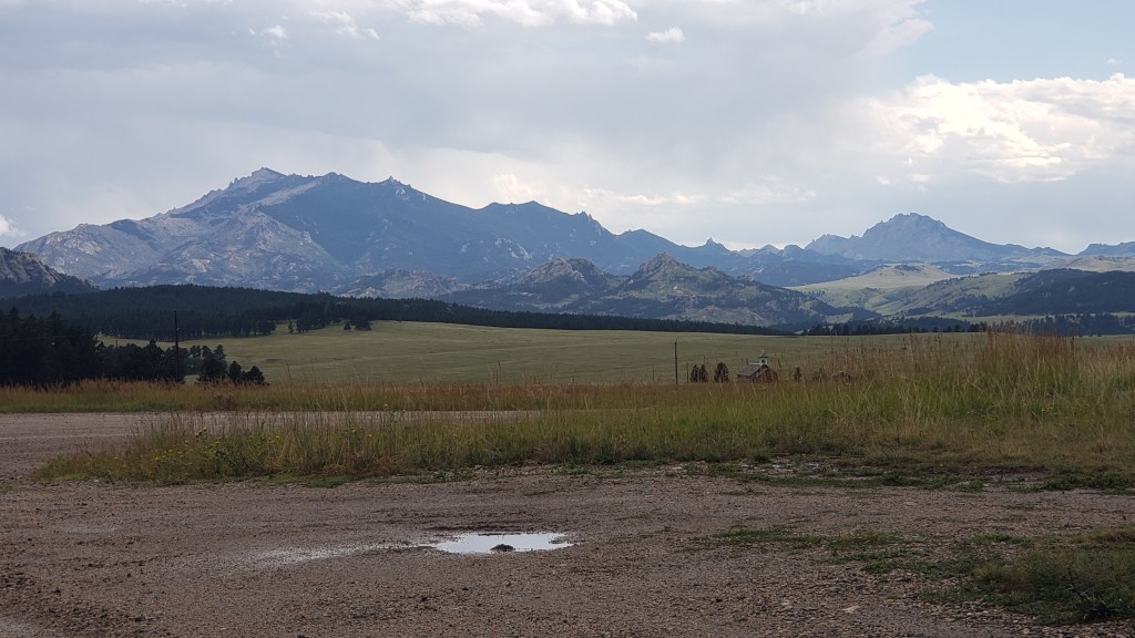
Present-day Casper, Wyoming, with the Laramie Range in the background

Two trails are famous in the U.S.: The Pony Express (Kansas City, Missouri to San Francisco, California) and the Oregon Trail (Independence, Missouri to the far reaches of Oregon). There were actually two more major trails, we came to find out, that cut their way through Wyoming: The Mormon Trail, which started in Illinois and ended in Salt Lake Valley, Utah, and the California Trail, from Kansas City, Missouri to many places in California). All of them passed through Casper.

The Pony Express isn’t on this map, but it ran roughly along the same route.

For some, it was a 2,000-mile journey from beginning to end, and it’s quite incredible that specific points along the way were used by all or nearly all of them. Independence Rock was one of the landmarks they looked for, and many left carvings on the hill that marked their passing.
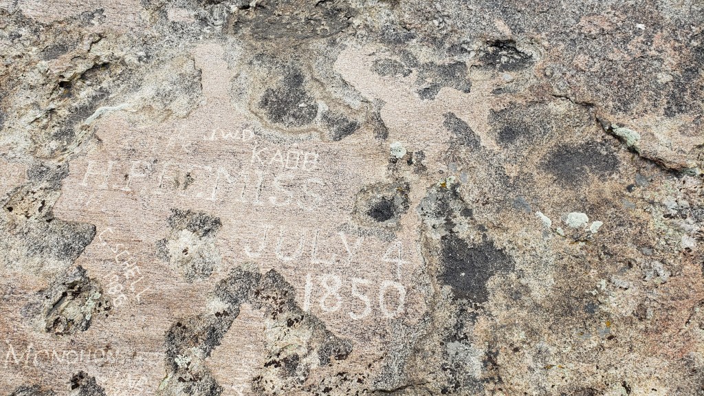
Independence Rock was an importation milestone. Reach the huge granite mound by July 4 (hence, its name) and you’ve got a chance of surviving the rest of the trip. Arrive late, as part of the ill-fated Martin Company Morman handcart expedition did, and disaster is the likely result.
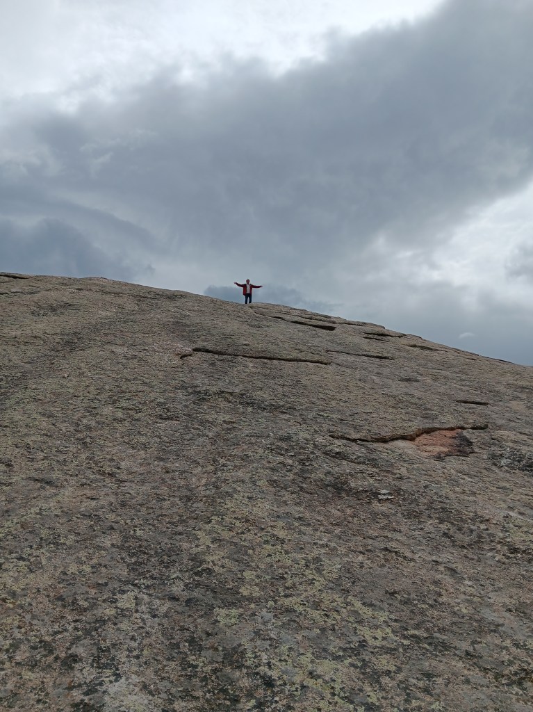
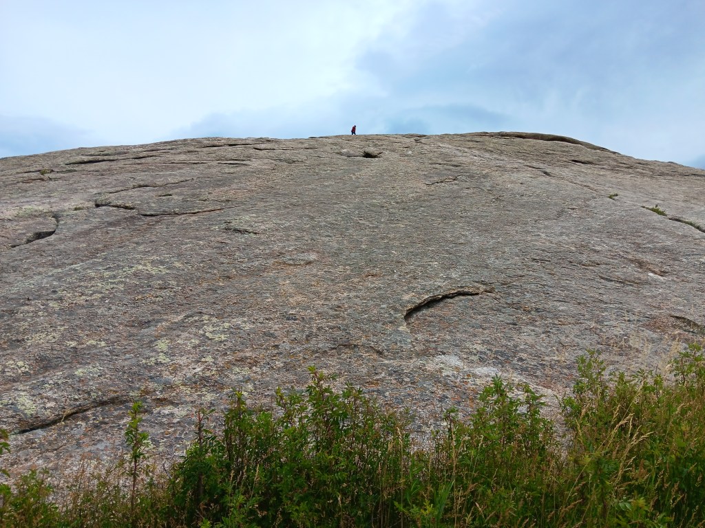
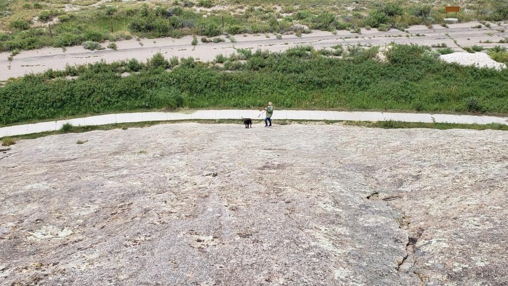
Simon, of course, had to climb to the top, as other visitors were doing.


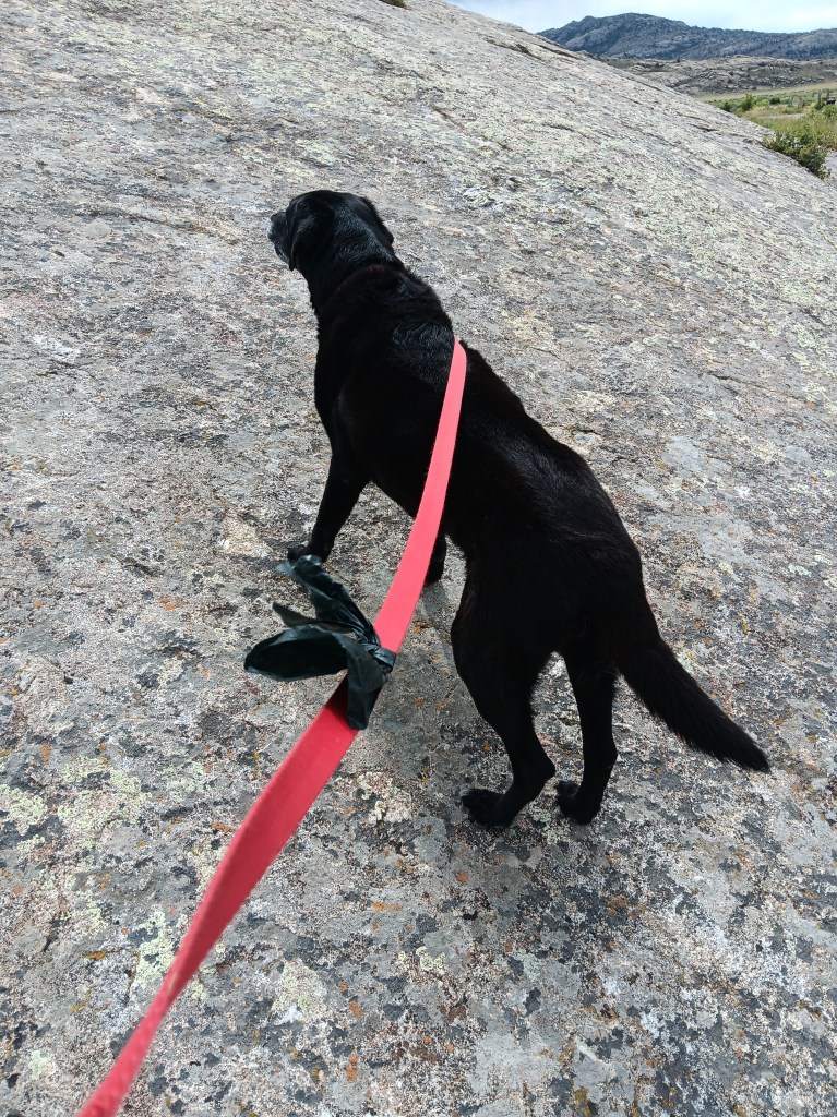
Ruthie, of course, wanted to follow him. Her toenails insisted otherwise.


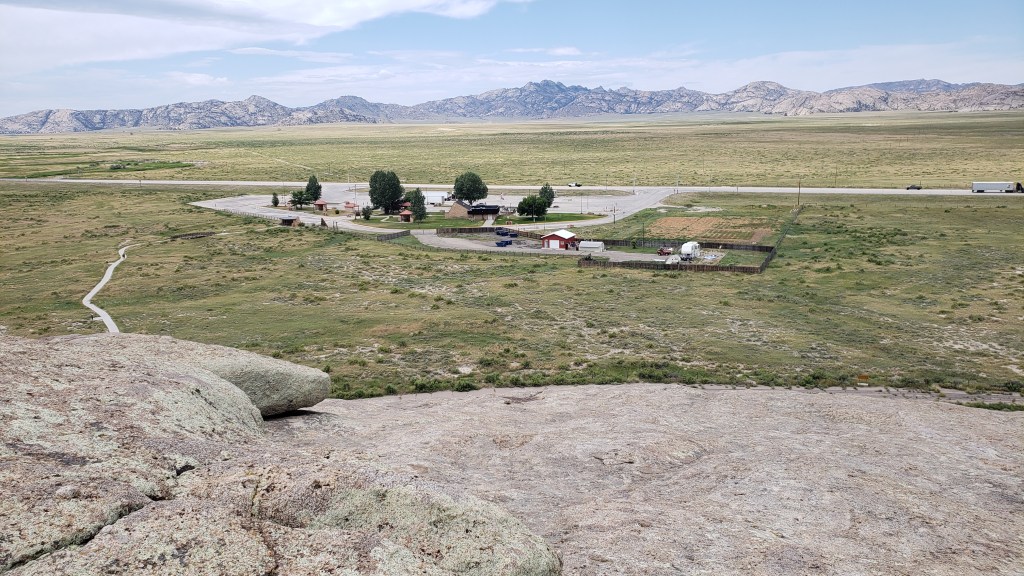
View from the top

Martin’s Cove, ten miles to the east, tells the 1856 Morman Handcart Disaster story. Under the guidance of the Edward Martin Handcart Company, the season’s final two (of five) English emigrant groups departed Iowa City, Iowa in late July. By mid-October, having been delayed by snowstorms and suffering from illness, fatigue, and malnourishment, 50 of them were dead. It became the greatest single-event loss of life of the country’s entire western migration.

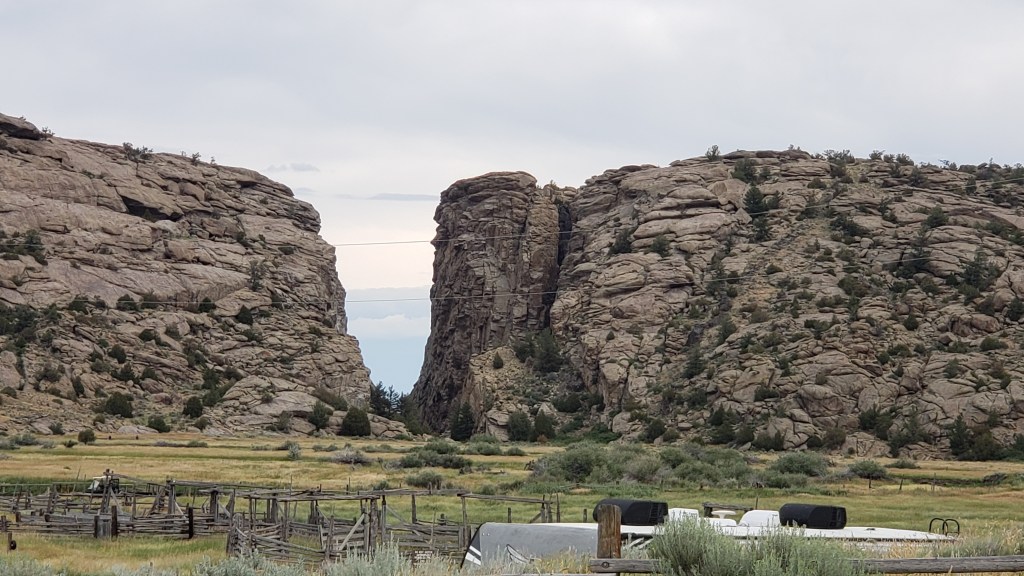
Another geological landmark the westward expeditions looked for was Devil’s Gate, near Martin’s Cove, a gap that allowed them to travel south of the area’s impassable river gorge. All four “trails” passed through this gap, and their wagon and handcart ruts are still visible. We couldn’t see them, nor the former Martin’s Cove camping site the travelers used, because (say it with me…) NO DOGS are allowed on the trails.

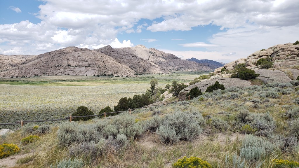
A third landmark was Split Rock, a camping and grazing site one-day’s travel (12 miles) from Devil’s Gate, distinctive for the enormous V-shaped “split” (more like a natural cut-out) at the top of the mountain. You’ll see it slightly to the left of the middle mountain’s center in this photo:
When we moved Fati to a new campground in Wheatland, Wyoming, north of Cheyenne, we made a day trip out to the Guernsey Ruts, Register Cliff, and Fort Laramie, also milestone locations on the trails.
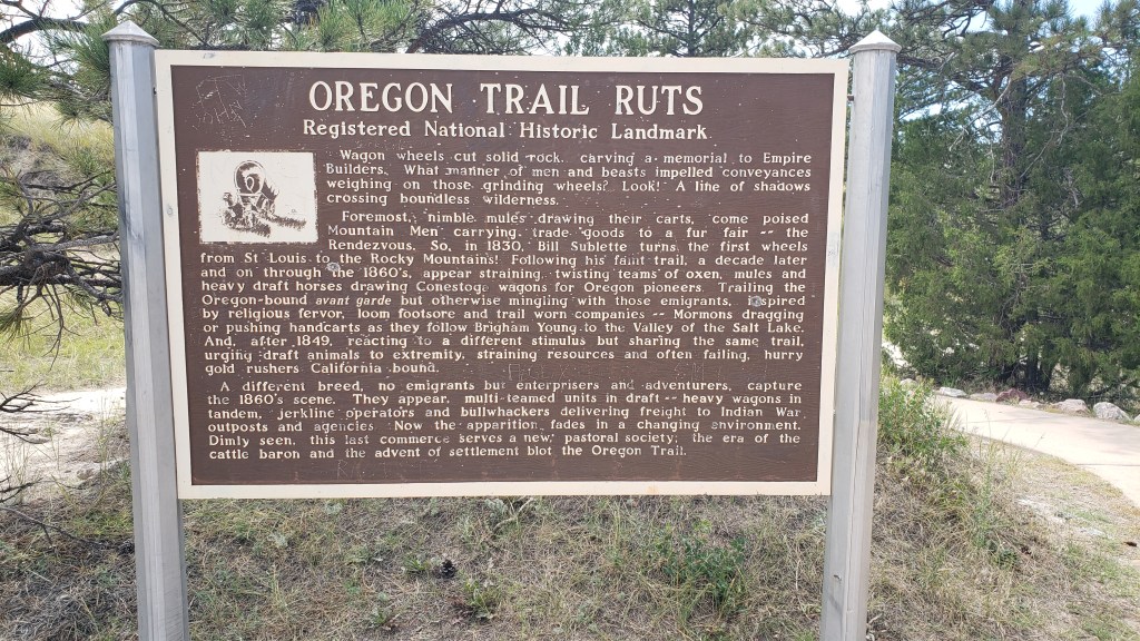

The Guernsey Ruts are located at Oregon Trail Ruts State Historic Site, where wheel tracks made by covered wagons and handcarts left deep gashes in the soft sandstone, which are now on protected land. Some are five feet deep, and it’s easy to see the wheels’ furrows and the deep pathway where people walked next to their wagon.
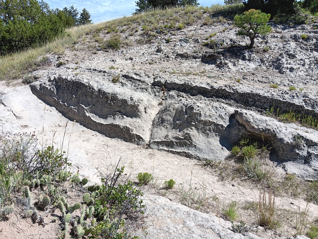
The ruts are at the bottom of the rocky side, and the walking trail is the deep gash just above it

Standing in one of the wheel-track ruts

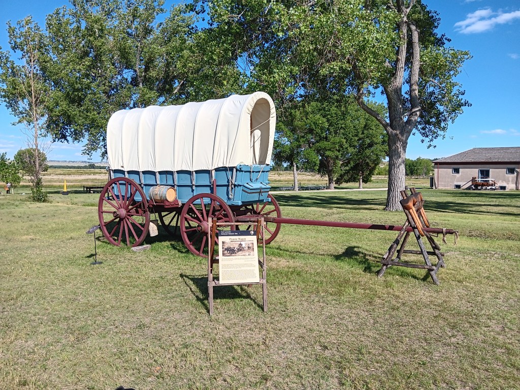
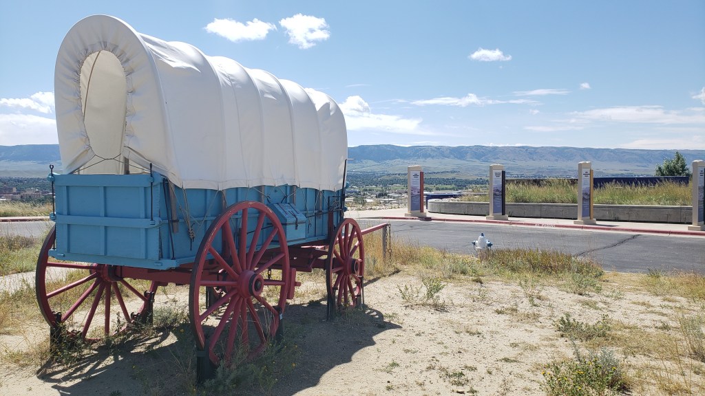
For reference, this is an example of a “prairie wagon.” This reproduction is located at Fort Laramie.

Visitors to the site are allowed to walk in the hard tracks, and we really felt a human connection to the slow, difficult climbs and drops the pioneers experienced as they plodded their way west. More than 500,000 pioneers crossed here due to the topography of the land, which is why the ruts are so deep.
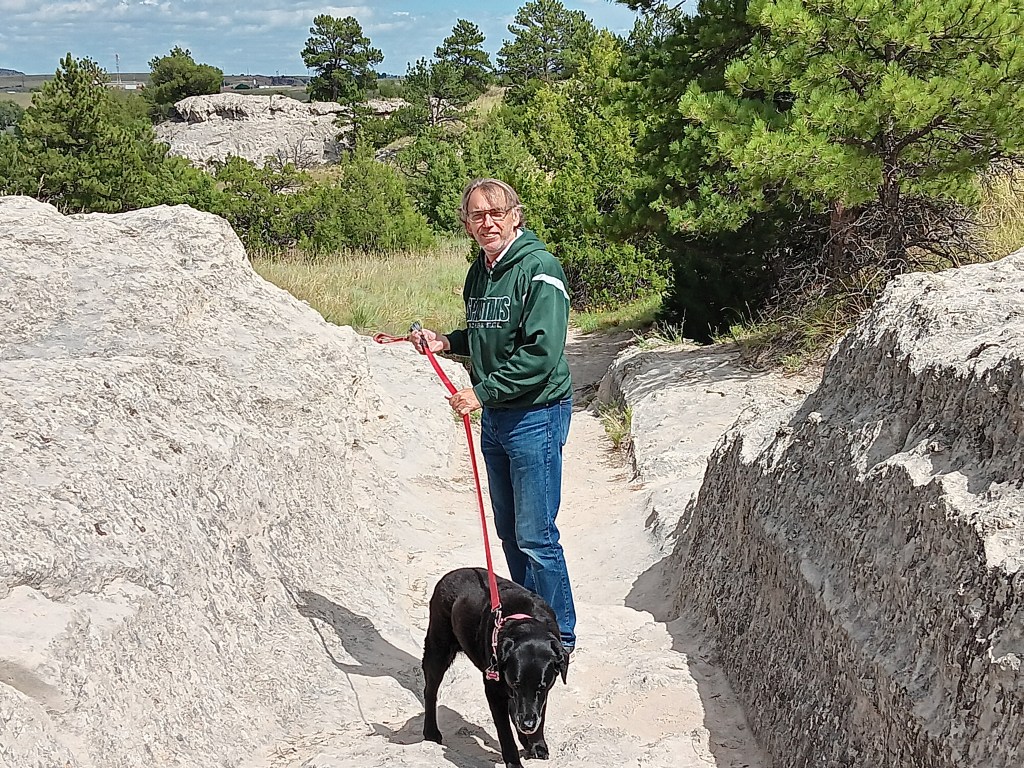
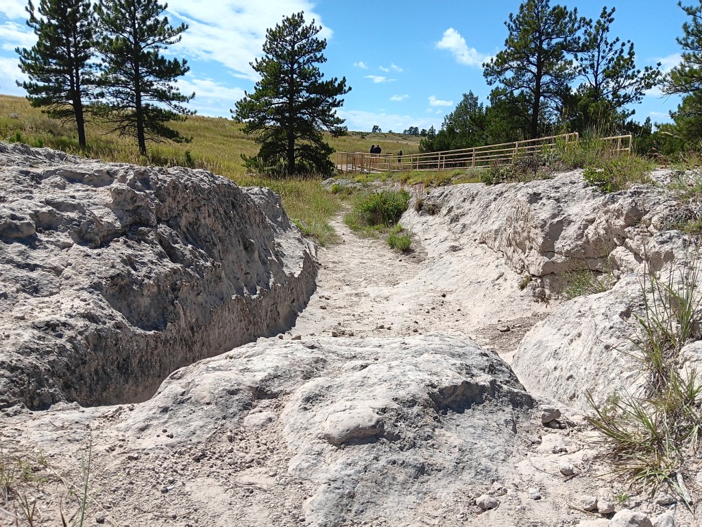
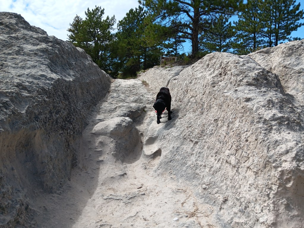
Imagine having to get your wagon or handcart over this rock and into the established tracks

Even four-legged Ruthie needed a helping hand getting down the steep path

The one blot on this otherwise evocative site is the panels that tell the story of the trail only from the perspective of the soldiers tasked with “protecting” the emigrants’ passing through land that was home to native tribes. In a nutshell, the sentiment was that the tribes were hostile and it was perfectly fine to kill them “as needed.”
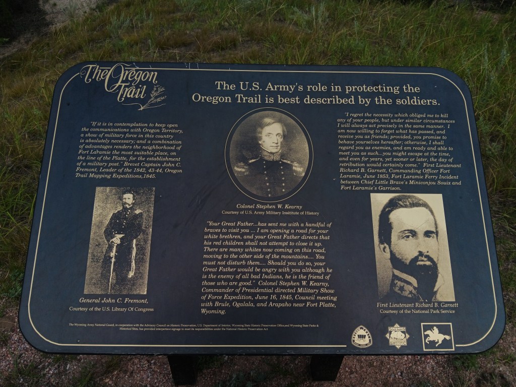

There are a few sites we’ve seen that give a nod to the people who actually lived on the land before white people came through, and their desire to continue living peaceful lives, but so far they’re certainly the exception. It’s impossible not to see these plaques’ quotes as a conscious choice.

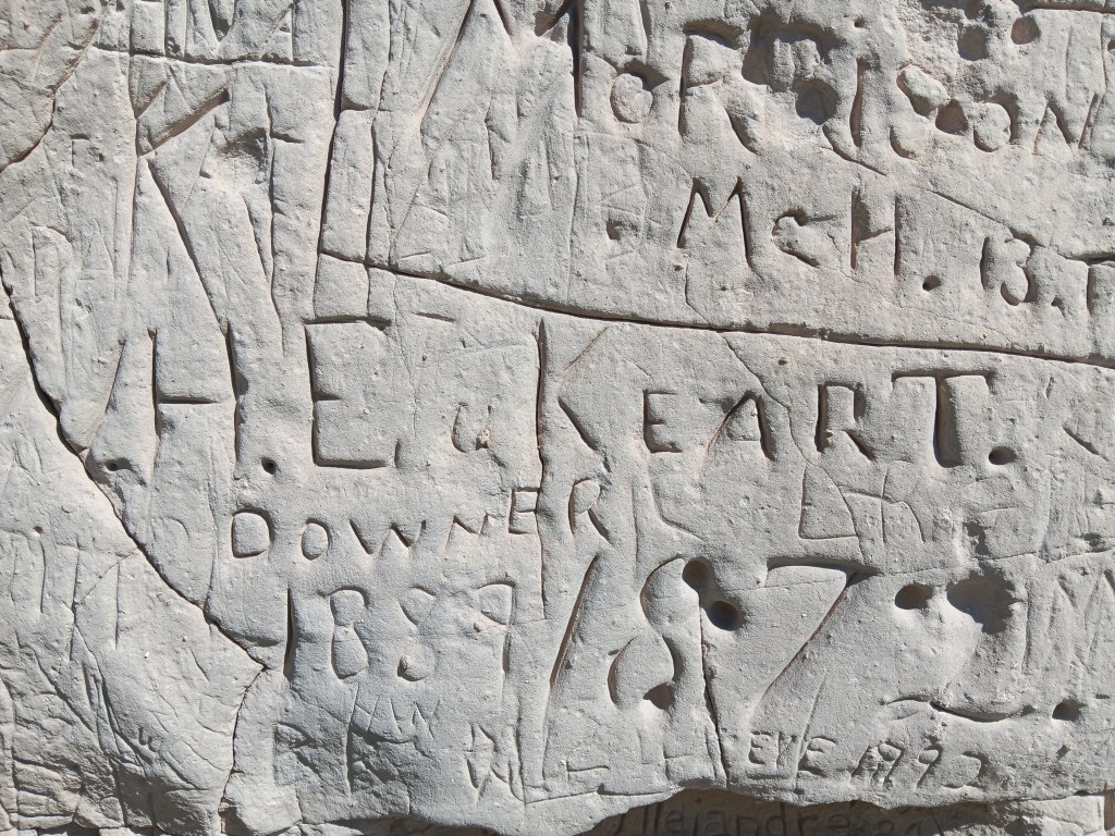
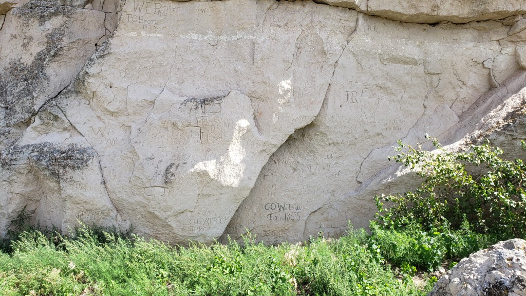
Register Cliff is about 12 miles east of the Guernsey Ruts, and it also holds the title of a State Historic Site. Here, trappers, fur traders, and emigrants rested during their journey west, and some carved their names and the date into the 100-foot-high limestone cliff.
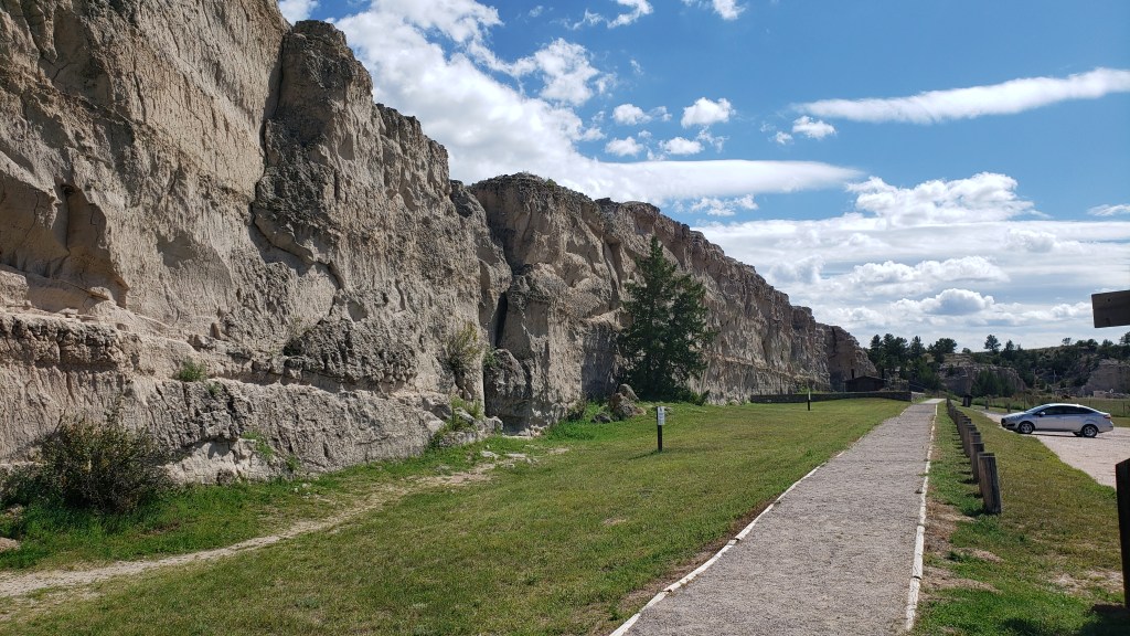

We didn’t see the earliest dates that have been identified on the cliff (1797 and 1829), nor did we see petroglyphs and pictographs made by the native people long before white people arrived, but we did see some carvings from the mid- to late-1800s, and many carvings behind a fenced area are from the time the Oregon trail was heavily used.


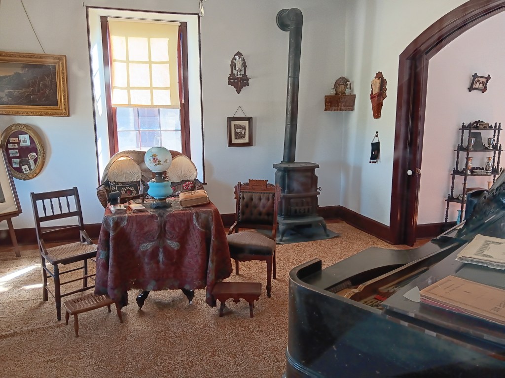
Fort Laramie – founded in 1834 as a trading post before evolving into a military post in 1849 – wasn’t the stockade-style fort we expected. Instead, it was more like a mini town, with necessities of daily living such as a bakery, a jail, a schoolhouse, barracks, and officer homes. It felt a lot like a military-specific version of Dearborn, Michigan’s wonderful Greenfield Village.
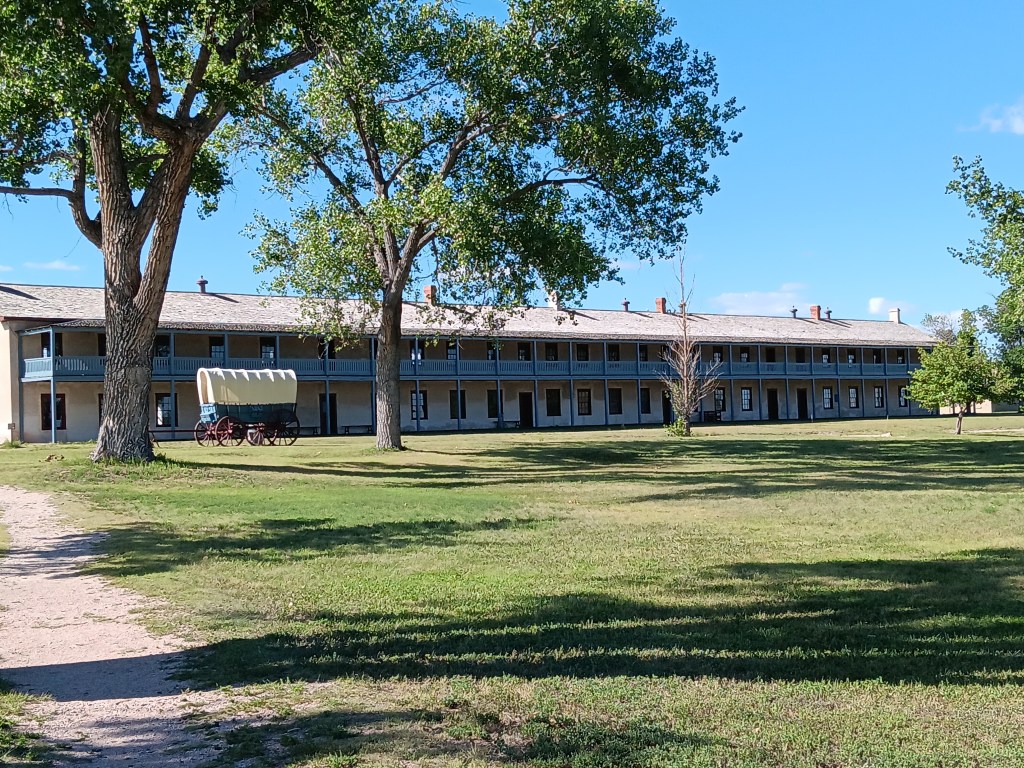
Barracks upstairs, living areas downstairs

Store

The officers’ homes were surprisingly luxurious

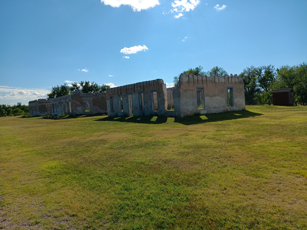
Some buildings are now just ruins

It was a place where emigrants stopped on their way to Oregon, Utah and California, as did some local tribes, to trade furs and hides for other goods. It was also a stop for the Pony Express from 1860-1861.
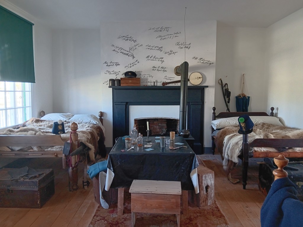
We don’t know what these signatures above the fireplace are all about, but they looked really cool and historical. A plaque wiht some context would have been nice.


We’re certain we’ll see a lot more sites having to do with the settling of this great, vast country, and when we do, we’ll be happy to share them with you.
A Year On The Road – The First Three Months

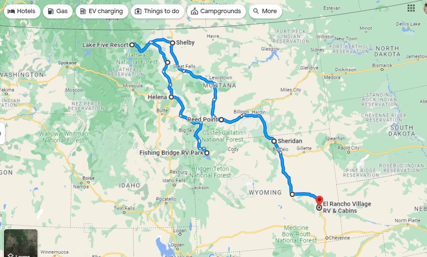
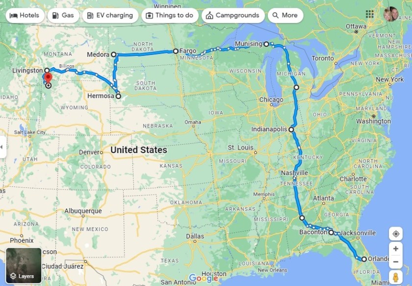
On August 14 we celebrated the third month of our grand ‘A Year On The Road’ RV adventure, with a chance to tot up our mileage and chart the latest course of the scenic route we are forging across the US.
Having ended Month Two at Fishing Bridge RV Park in the heart of Yellowstone National Park, we have basically undergone a bit of an about-face on our original planned route and gone “freelance” for a few weeks. Our third month covered a total of 1,318 miles, giving us a whopping 5,061 for the trip to date.

Month Three – 1,318 miles, starting in Yellowstone and reaching El Rancho Village RV & Cabins in Wheatland, Wyoming, via Glacier National Park in Northwest Montana

As you’ll see from the map, we continued north from Yellowstone to Glacier National Park, but then broke away from the proposed westward trek to Washington and Oregon via a bit of Idaho in favor of seeing more of Montana and Wyoming, two states which we have found utterly enchanting.

We have tried not to cover any of the previous route, apart from a few miles along I-90 in Montana, and have dived much deeper into Wyoming in particular, including side trips to Cheyenne and Laramie – very much the heart of the Old West – in Nippy to avoid putting too many miles on Fati. From here, we’re looking to turn West again, with each of Colorado, Idaho and Utah on our radar – and more of the magnificent Rocky Mountains.

The first two months – and 3,743 miles

What We Learned During Our Third Month On The Road

Today marks three months since we locked the door to our house in Florida and set off for a year-long adventure in an RV. Here’s what we learned during the past month:

You don’t have to put all your slides out. You don’t have to have anything more than soup for dinner. You don’t have to go to the most popular sites in any given location. You don’t have to use the propane stove if the Instant Pot is easier. You don’t have to have it all figured out. Unless it’s filling up with gas or diesel when you plan to do some driving, you don’t have to.

You’re slower to kill bugs in your rig, even when you really, really want to. A living thing shouldn’t die just because it’s in the wrong place at the wrong time, and after the risks and challenges you’ve faced on your journey, you now understand that in a way you never did before.

That previous lesson doesn’t apply to mosquitoes. They cannot – CANNOT – be in your bedroom when you’re trying to sleep. Ants don’t count, either. Or moths.

All the cool things to do in Montana, Wyoming, and Colorado are high up in the mountains, and involve big drop-offs with no guardrails. If you have a deep fear of heights, you’re going to have to choose between enduring the terror and spending your day ugly crying, or settling for the beauty of the mountains from the valleys and canyon floors.

Seeing mountains from valleys and canyon floors makes for spectacular viewing.

You’ve become an expert at giving the toilet paper a little toss backwards after you wipe, so that it doesn’t stick to the front or side of the bowl and require a massive amount of water to flush it down. Go, you!

Put the d@mned pool noodles on the edges of your slide-outs, you great steaming numpty. You’ve had them for two months, but have you put them on? No, you haven’t. And now you’ve got a bloody noggin. Stop being lazy and just do it.

The first thing you do when you pull into a new “brand” of gas station is download their discount app, and the joy you feel when you get ten cents off per gallon is worth the hassle of getting those crappy apps to work.

Each time you pull the bottle of expensive gin out of the storage area under the sink you’ll feel a little bit wistful for the beautiful collection of cut-glass decanters back in your sticks-and-bricks.

When you see people pointing their phones at the side of a hill as you’re touring in your car, stop. Not only will you get to share in a spectacular wildlife spotting or scenic view, you’ll also meet some pretty cool people and hear about their travels. Bonus points if they’re motorcyclists. They’re some of the friendliest people.

Few things feel better than being able to give your campground neighbor some rope to strap their tarp down when they have a leak in their rig during a thunderstorm, and a clean towel to sop up the water. Whatever it is you can do to be helpful, do it.

You’re starting to get the hang of this, you fabulous human, you!

When Nature Says “No.”


With four days in Evansville, Wyoming, on the eastern edge of Casper, we had plenty of time to seek out some of the pioneer migration hot-spots along with our scenic touring.

We’re going to split our Casper area stay into two separate blogs, one of general touring and a second taking in landmarks and locations having to do with the famous Oregon Trail and its three “sister” trails.

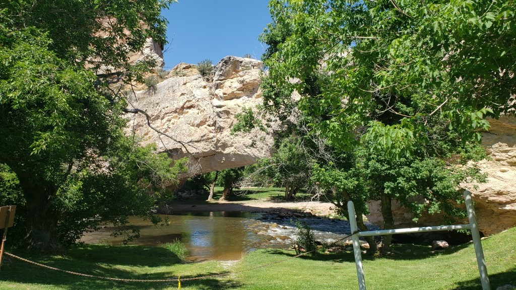
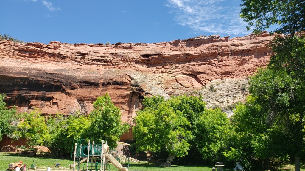
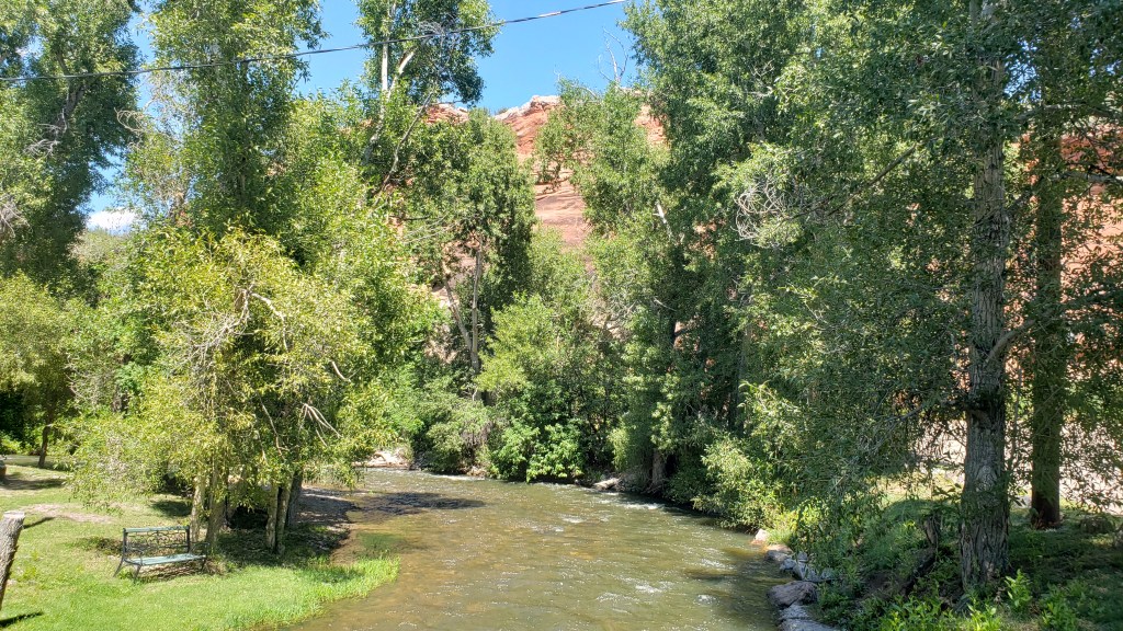
On our first day, we headed east to Ayers Natural Bridge at the recommendation of the Casper Visitor Center. If you follow us on FaceBook you already know the outcome. No Dogs Allowed under threat of a $100 fine, so we took some photos of the most perfect picnic spot in the country, and kept going.

Natural Bridge on a glorious day, perfect for a picnic. But not for us and our dog.

Eye candy everywhere you look. But not for us and the dog.

Babbling river is calling out, begging people to dine along its banks (not us).

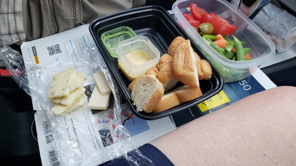
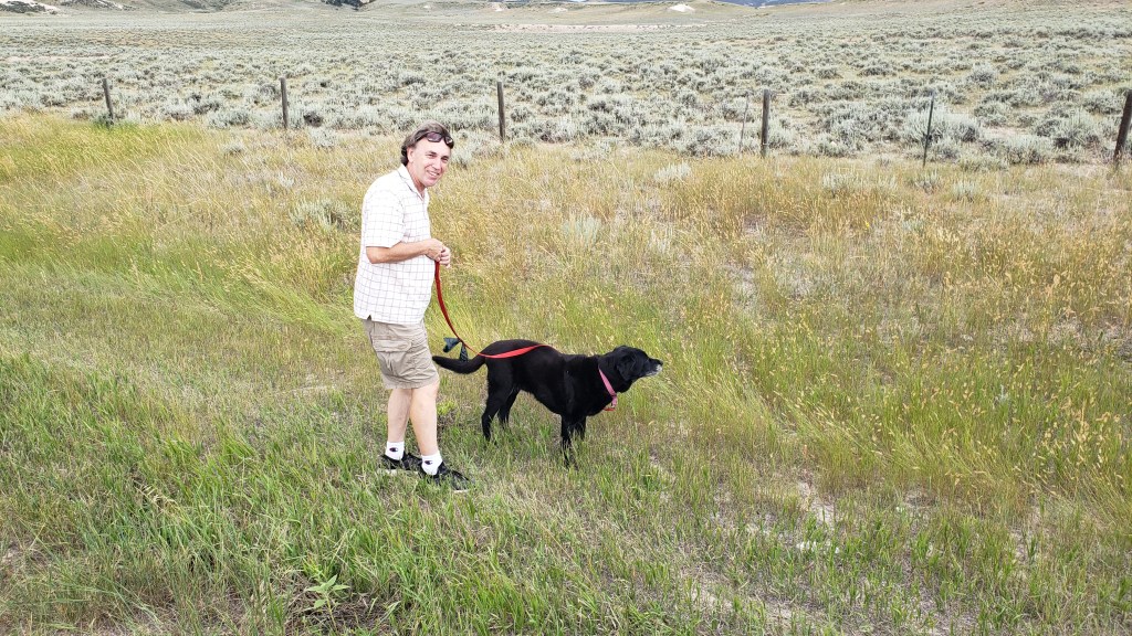
Ayers was supposed to be our lunch stop, and having driven an unexpected 40 miles to reach it, we needed a detour off busy I-25 and found it along WY-94, which dead-ended at Esterbrook. At the top of a rise, we pulled over and enjoyed lunch with a view.


This is becoming a habit.

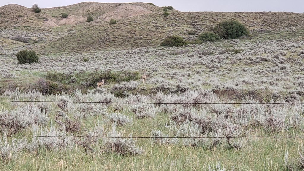
This turned out to be seriously remote driving, with the wonderful bonus of lots of wildlife.

Pronghorn are the most reliable animals in Wyoming. We see them everywhere.

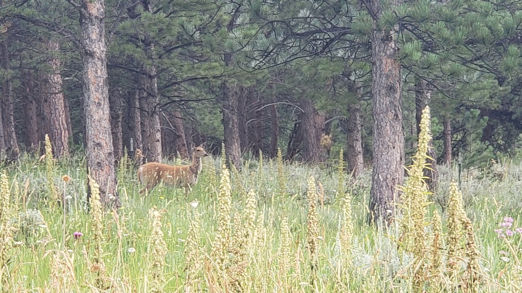
We’ve seen fewer deer than we thought we’d see, but they do pose nicely when they show up.

We spotted Mama, then her fawn came galloping up. Just as we pulled away, a second fawn appeared.

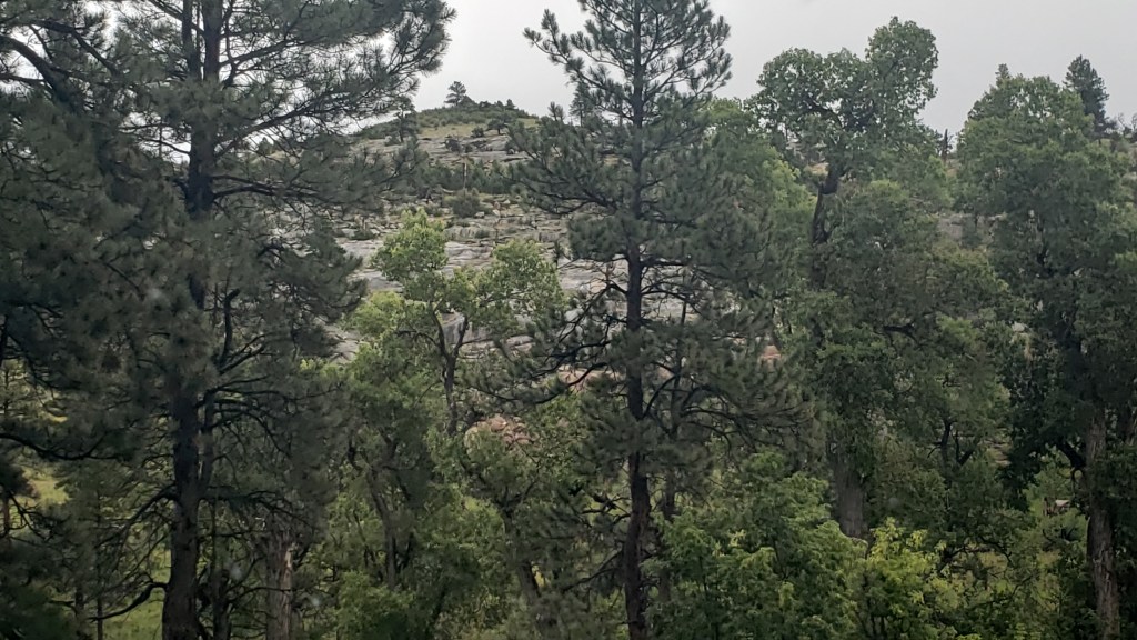
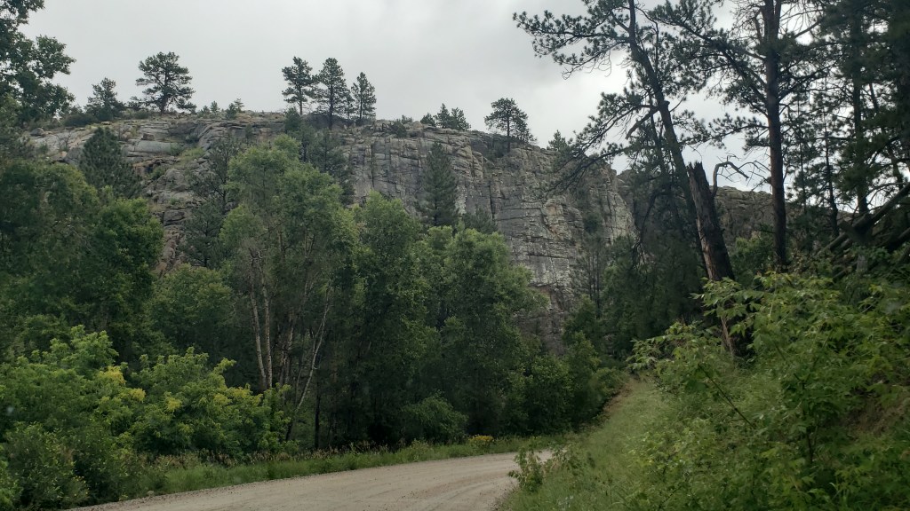
The terrain did what Wyoming does, and changed from rolling hills to prairie to rocky outcroppings to the heady scent of pine forests. We are constantly amazed by what unfolds with each rise and dip in the road. All of this happened within a 10-mile span:


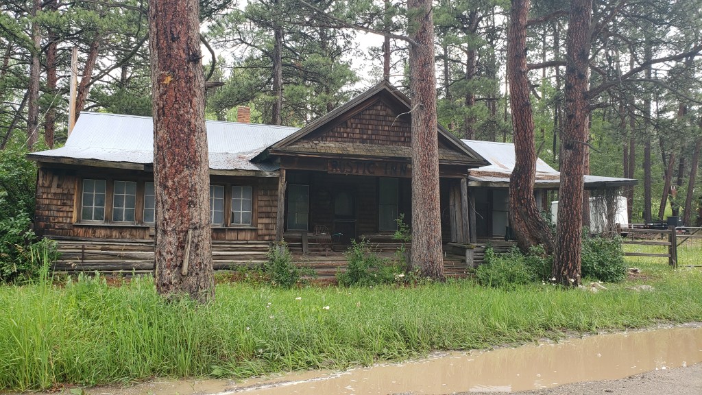
Esterbrook itself had probably seen better days. Most of it looked deserted, though there were a few homes that were clearly inhabited. Where they get their groceries, we do not know. The nearest towns were nearly an hour away.

Deserted.

Also deserted.

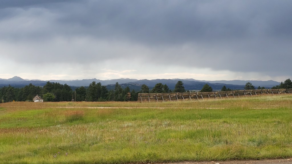
We did get our first view of what we thought was the Rocky Mountains, but, no, it turned out to be another view of the Laramie Mountains.


Simon had hoped to find a nice iced cappuccino in Esterbrook, having not yet learned coffee can only be found every 200 miles or so in places like Montana and Wyoming, and it had become our mantra to say, “Knock on someone’s door and ask them to brew you a pot” after our mortifying visit to tiny Leiter.

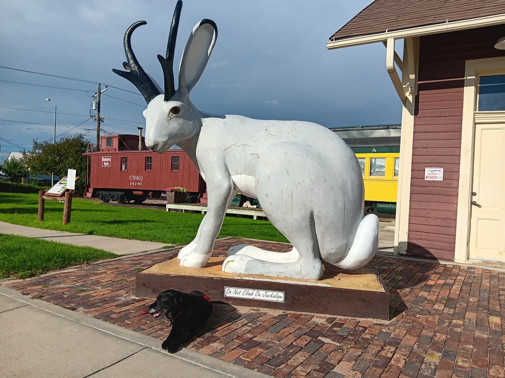
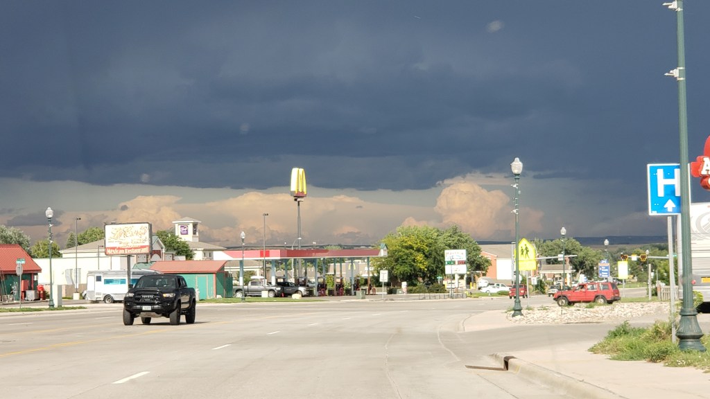
We returned to I-25 at Douglas, “Home of the Jackalope,” and found a train museum and, of course, lots of jackalope statues and cut-outs, along with some quirky little storefronts. The only coffee to be found was at McDonalds, but by the time we realized it we were well out of town.


The weather had been around us for more than a week, but we rarely had any.

Our next day’s touring in Nippy would be the longest we’ve taken on this trip, covering 374 miles. Most of them passed rolling hills, prairies, and ranches, so we’ll only cover the highlights, including one heck of a majestic canyon and one heck of a smelly park.


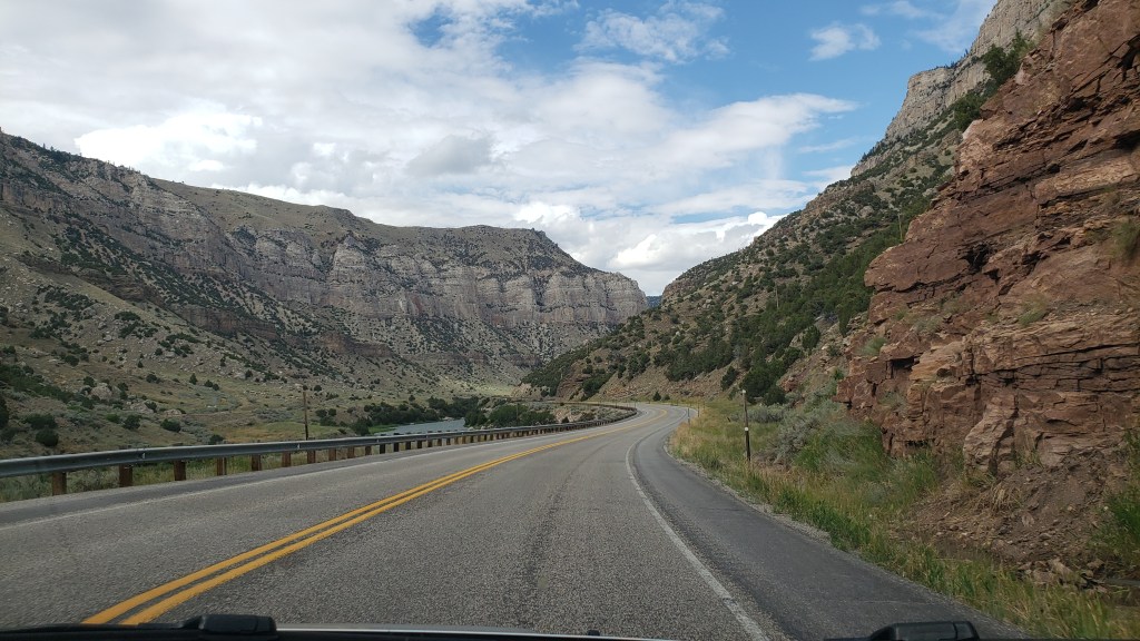
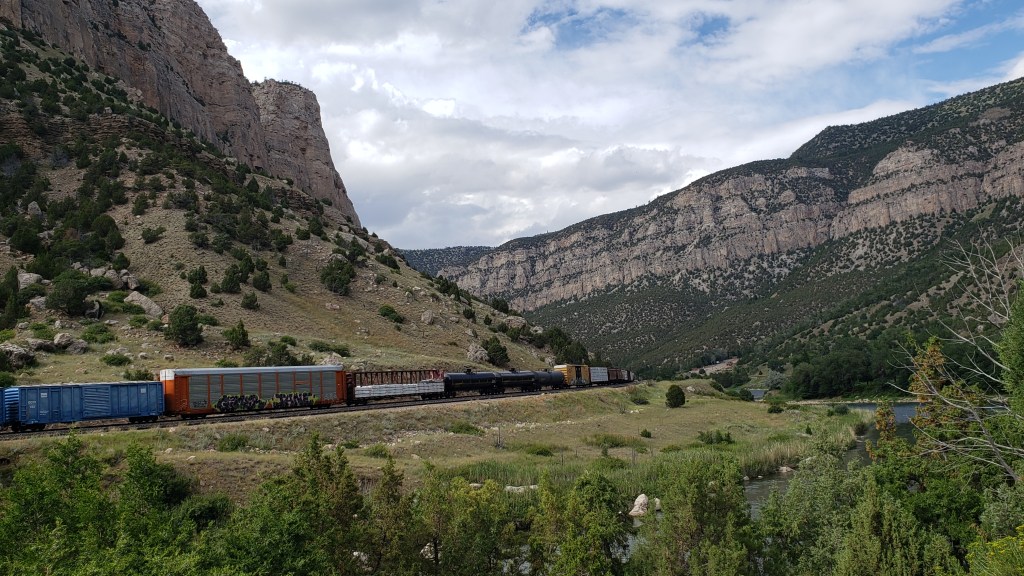
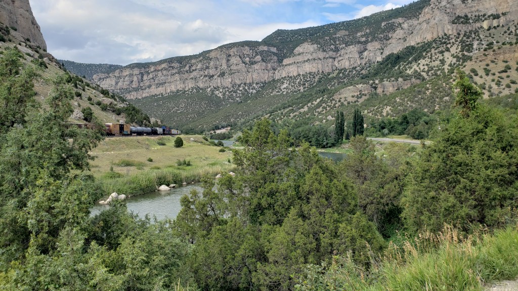
Having stopped at three major Oregon/Mormon/Pony Express sites, which we’ll cover in our next blog, we circled north along our route and detoured up highway 20 toward Thermopolis, named for the world’s largest thermal springs, which bubble up there. Highway 20 passes through the Wind River Canyon, honoring the river that runs through it.

Shoshone lived in the area for thousands of years, and other tribes including Crow, Arapaho, Cheyenne, Blackfeet, and Lakota, made seasonal migrations to the canyon. The Wind River Indian Reservation is still located here, and it holds great spiritual meaning.

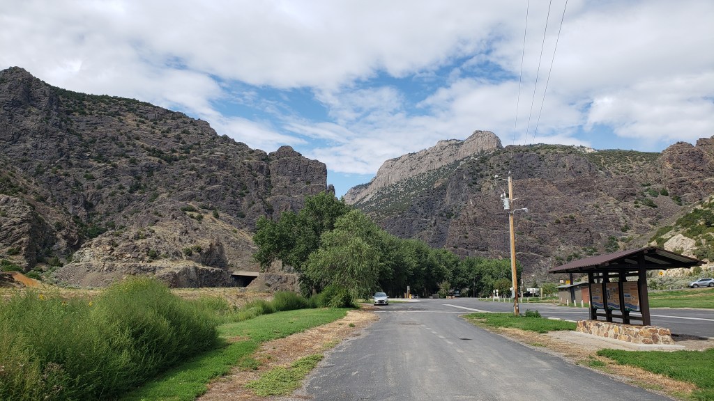
We stopped at a park at the entrance to the canyon, and spent time looking through our binoculars for the Bighorn Sheep that live on the mountains. We didn’t see any, but it’s impossible to imagine they aren’t there, hiding behind the rocks.


Three tunnels punctuate the entrance to the canyon, and while they weren’t as tight as Needles Eye, they made for a grand transition.

Click Image for Video

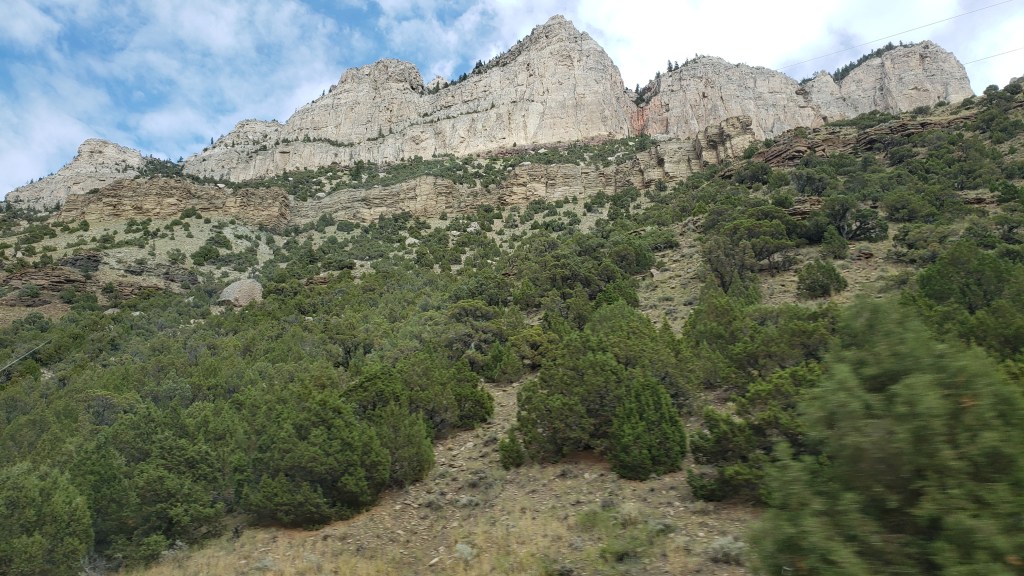
It only takes about 30 minutes to get through the canyon itself, but along the way we were treated to varied mountainsides and towering peaks that rise to 2,500 feet on either side. Its oldest rocks date back to the pre-Cambrian period, more than 2.9 billion years ago.


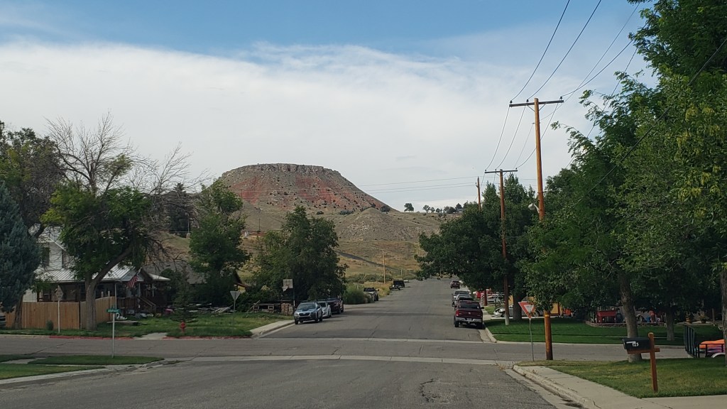
Thermopolis was no slouch, either. The town features a mini Devil’s Tower as its backdrop…


… but it’s the smell of Sulphur that permeates the thermal area that really catches your attention, especially when you’re up close to a spring. As Simon would say, “Whew! What a pong!”

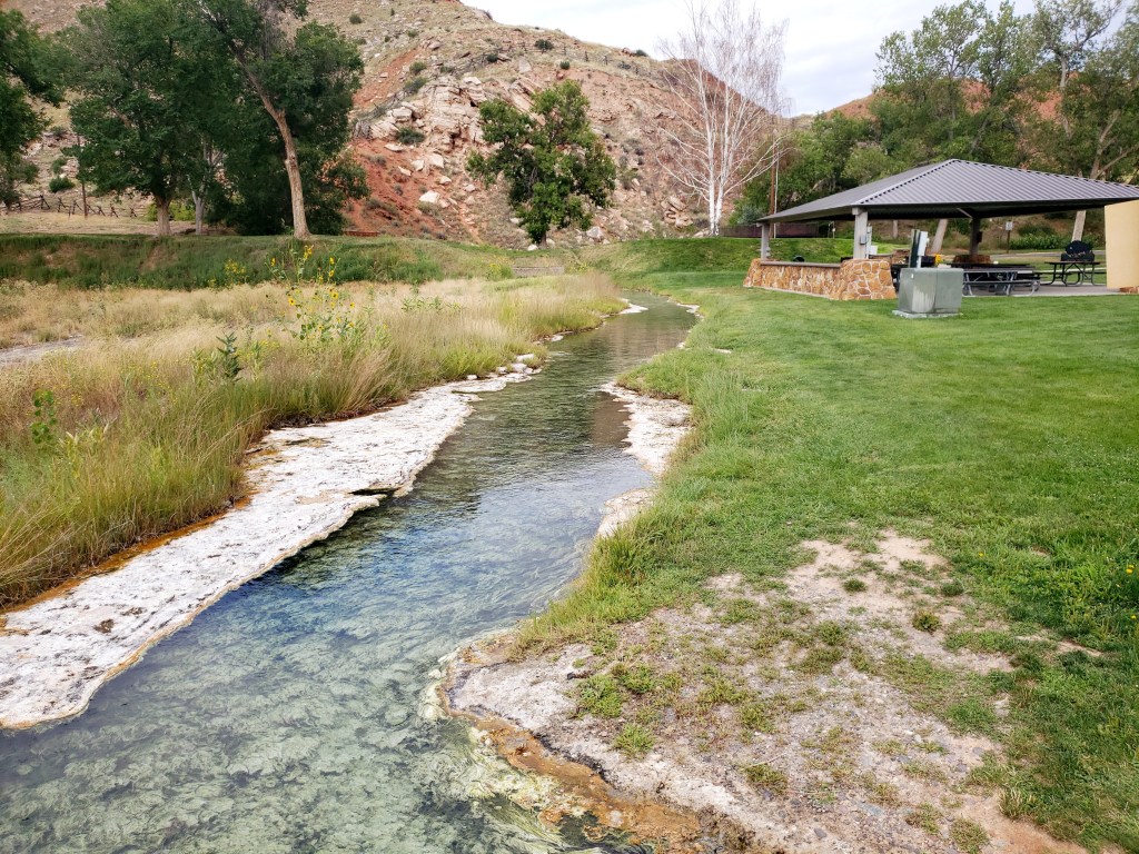
White Sulphur Spring
Click Image for Video

Can’t. Stand. The stink!

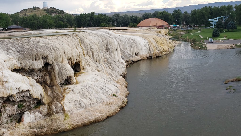
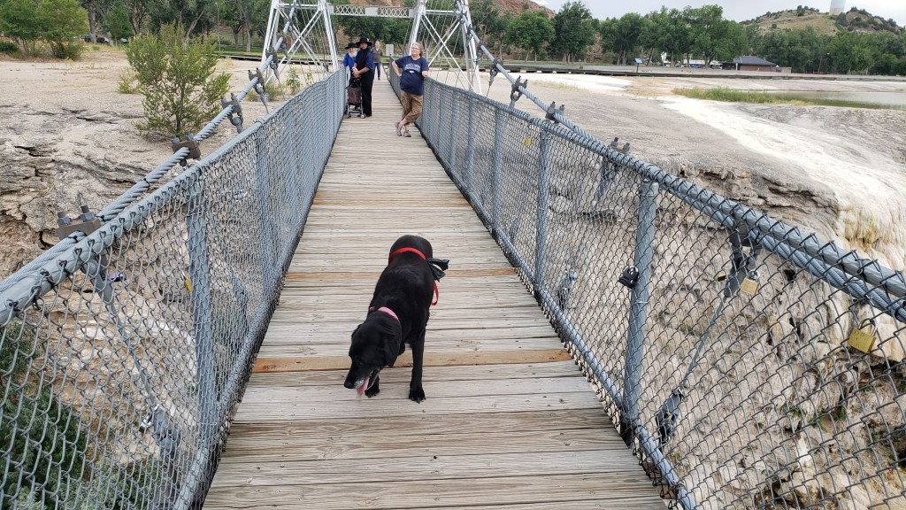
The park is very pretty, and very well used. Along with the springs, we found travertine formations and a swinging bridge (delightful to some, terrifying to others; we’ll let you guess which one of us has an overactive survival instinct).


Ruthie didn’t mind being on the bridge.


We spent quite a bit of time there, in spite of the stink, but there was one more surprise in store for us as we made our way east back to Evansville.


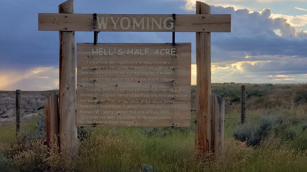
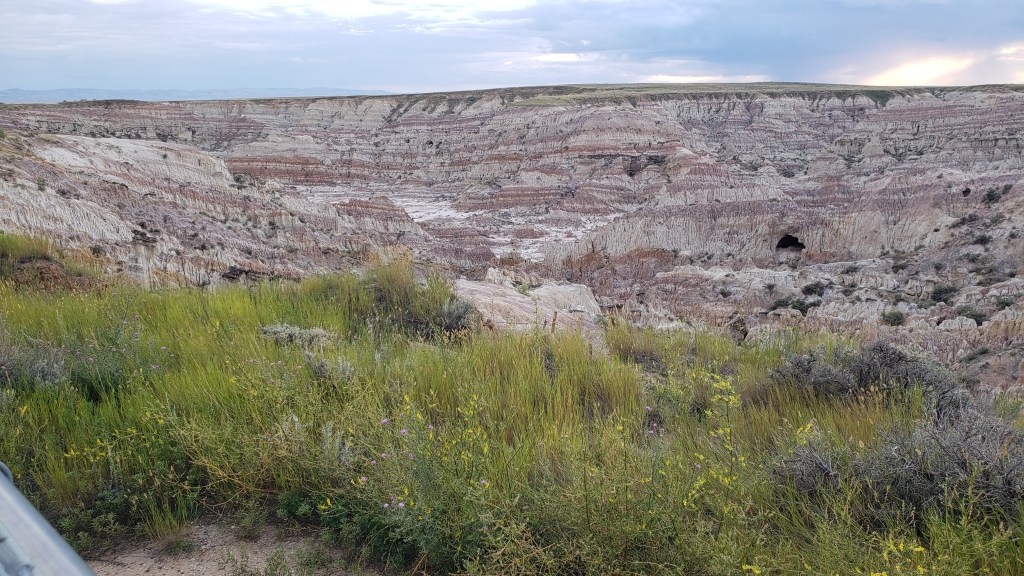
Smack in the middle of nowhere is Hell’s Half Acre, a mini badland of sorts that seems to just drop away from the surrounding plains. You can’t get the size of it from a photo, but it’s 150-feet deep. That cave near the right-hand side is massive.


Once again, there was weather all around us, but we only got a few drops and a lovely rainbow to cap off a long but very satisfying day.

Oh, Give Me A Home Where The North American Bison Roam


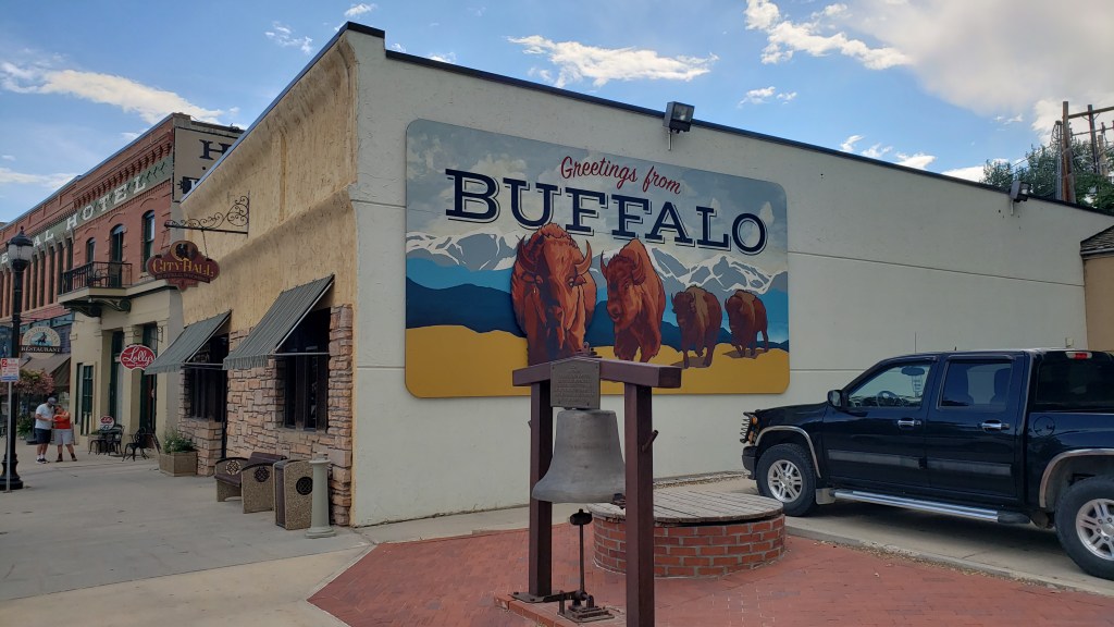
Many a hearty laugh has been had by us over names like Pony Espresso, Jesusland, Jan’s Cut & Yak Hair Salon, The Lucky Chucker, and Born In A Barn, but one name has baffled us. Why, oh why is anything having to do with the U.S. named “Buffalo” when there are no buffalo in North America and there never have been?

“Bison Bill Cody” doesn’t have the same ring, we’ll give you that, but it, and the name of the town in Wyoming, would be more correct as “Bison,” not the name mistakenly given to the animal those of us of a certain age incorrectly grew up calling “buffalo.”

“Call me a buffalo. I dare you.”

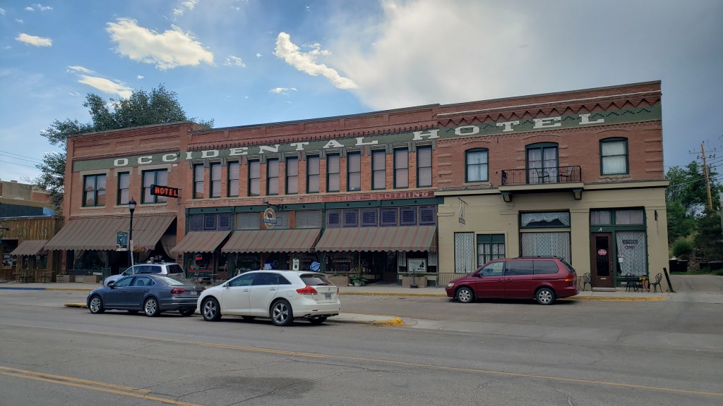
None of that mattered too much when we paid a visit to Buffalo, partly on the suggestion of our RV driving instructor Geoff, who told us the Occidental Hotel there had a really cool saloon.


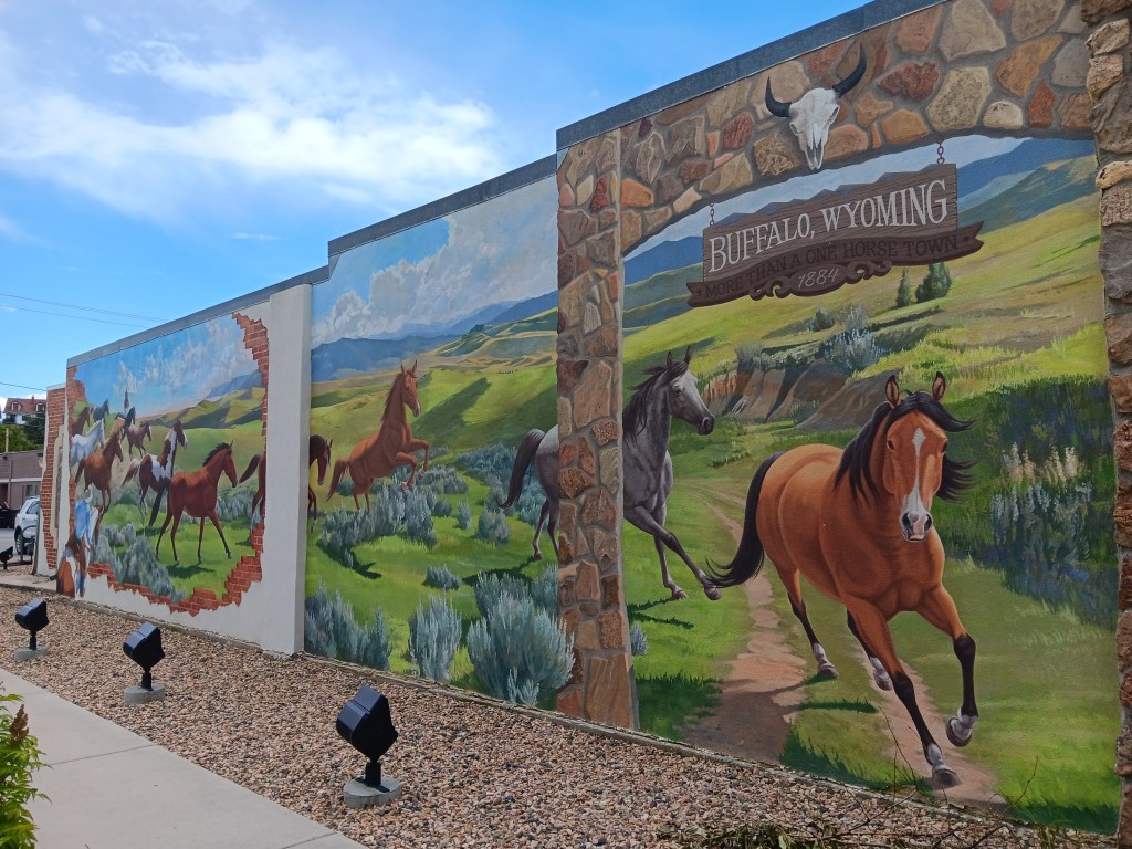
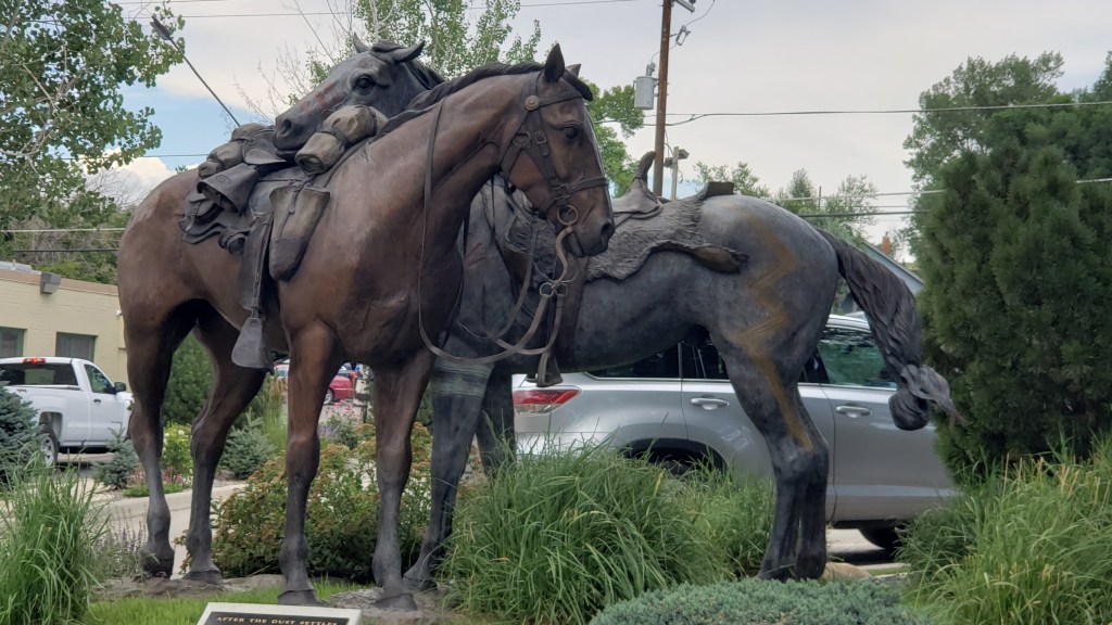
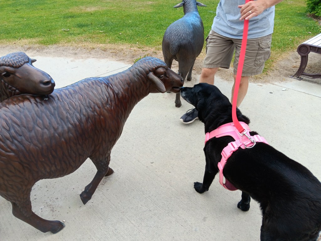
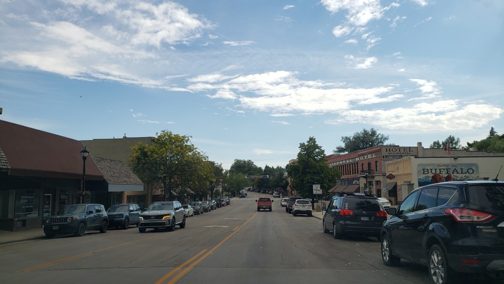
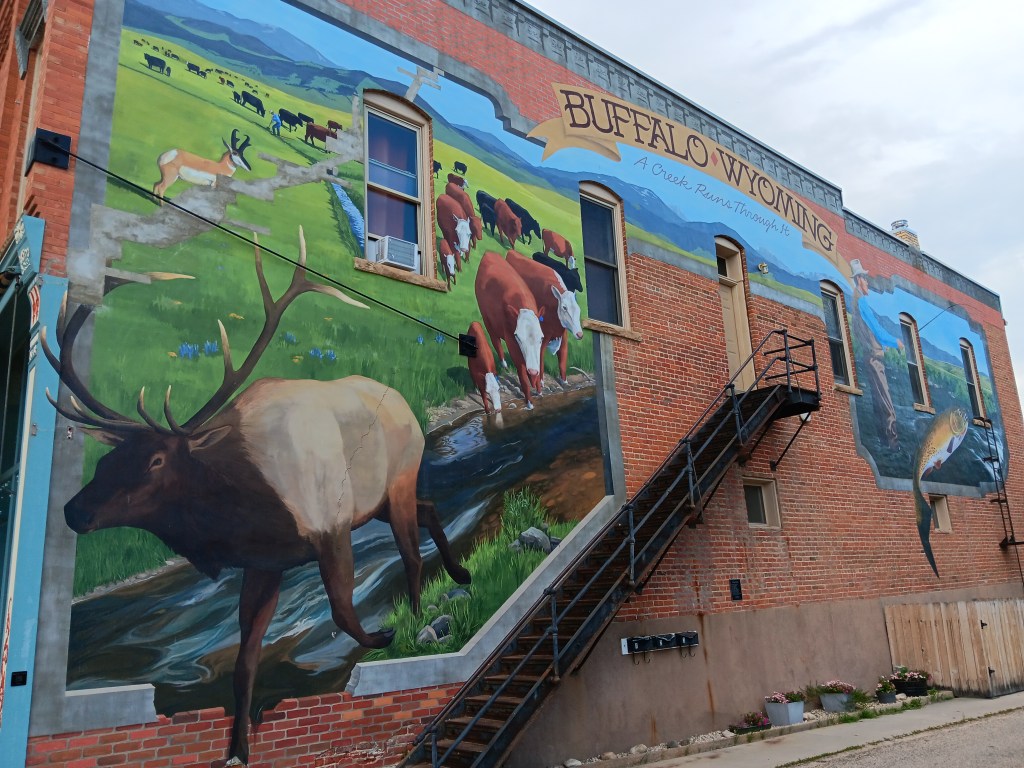
We’d make it our lunch stop, but first we took a little wander around town. Wyoming loves its metal sculptures and cut-outs, and Buffalo was no exception.


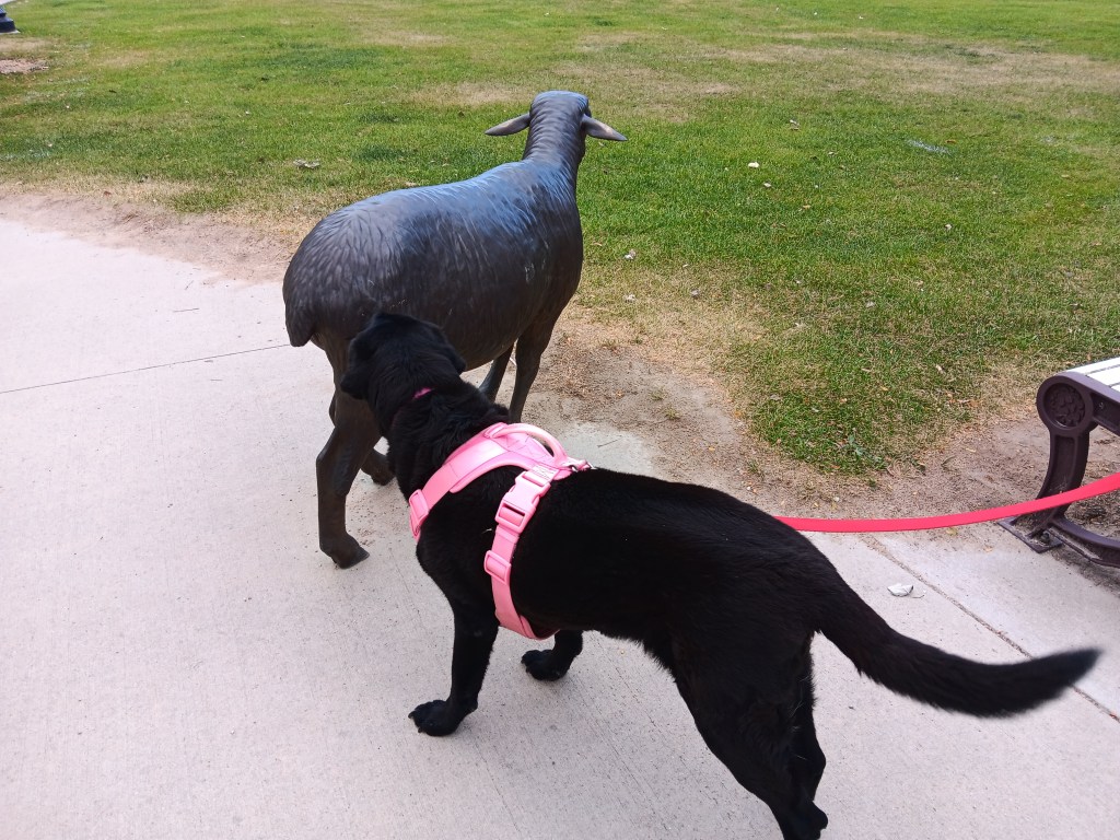
Ruthie wasn’t so sure about some of them.

“Ewe don’t smell right.”


The downtown area was pleasant, and while it wasn’t as jam-packed as Deadwood, it felt far more original, and we like that.

Not a Starbucks in sight


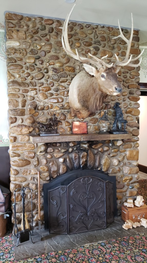
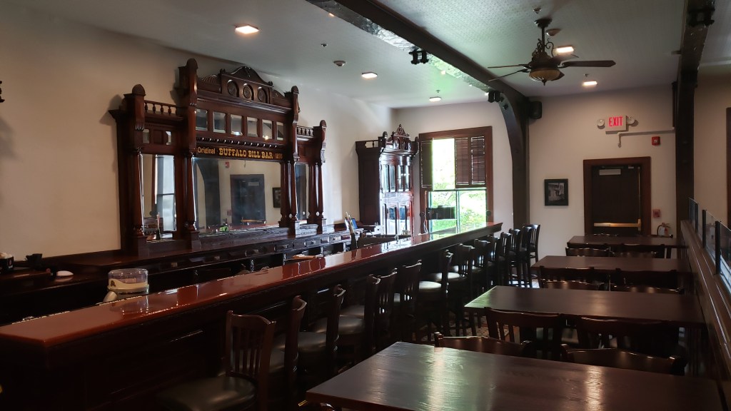
Known to the locals as “The Ox,” the Occidental Hotel was founded in 1880, and its saloon replaced a raggedy old bar in 1908. With its location at the foot of the Bighorn Mountains and central to the heavily-used Bozeman Trail, the hotel once played host to the likes of Buffalo Bill Cody, Calamity Jane, Butch Cassidy and the Sundance Kid, and, later, Teddy Roosevelt. It is now on the National Historical Register.

Open the door and this is your view

The saloon is chock-full of Wyoming stuff – animal heads and skulls (of course), antiques, period stained glass, and even bullet holes from some long-ago booze-fueled gunfight. The saloon is original, and we could almost imagine cowboys, rustlers, gamblers, and the lawful and lawless bellying up to the 25-foot bar, some for a shot of “liquid courage” as poker games sometimes went on for days.


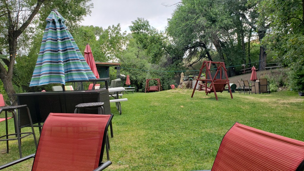
We just wanted lunch, but with No Dogs Allowed, our dining took place in the back garden that sits along a river, where the hotel has live music every Thursday night.


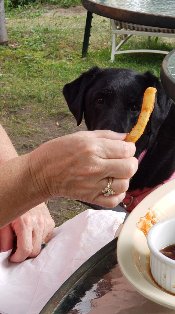
We only had ourselves as entertainment that afternoon, along with Ruthie, who loved us when we gave her a fry, then ignored us when that was all she got.

“YES! YES, I WANT THAT!”

“I thought you people loved me.”

Luckily, we adore each other and are happy with our own company. Even luckier, two young children, their mother, and their grandparents showed up for an al fresco lunch, and we were treated to several rounds of Hide and Seek, during which the youngest cheated like crazy.

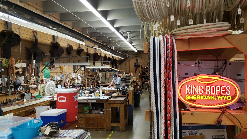
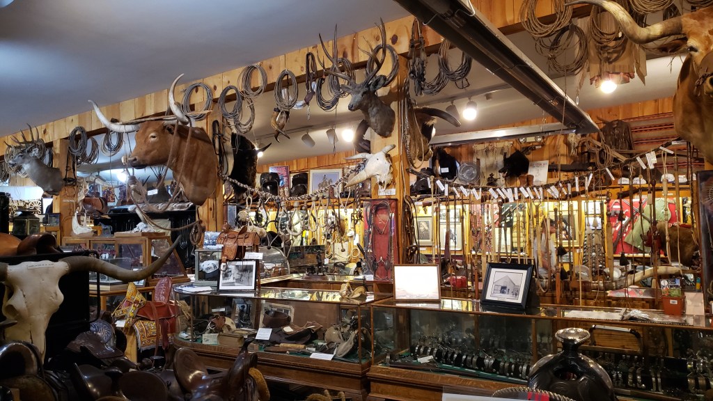
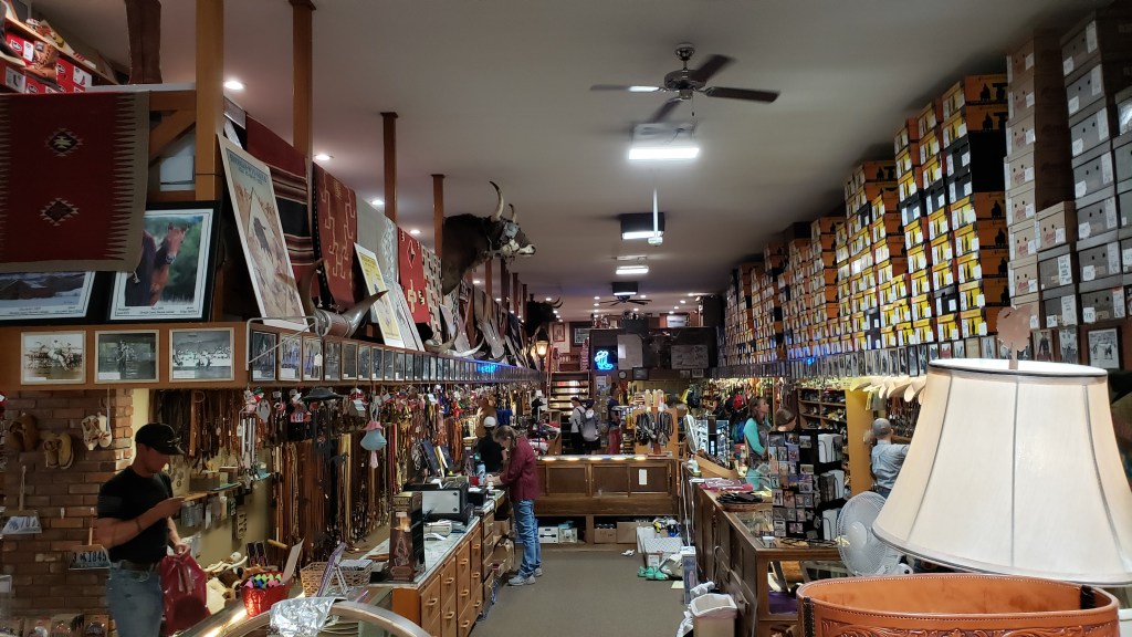
After Buffalo, we returned to Sheridan to see the famous King’s Saddlery & King’s Ropes, an institution in a town where even the kids are decked out in cowboy hats and boots. We stuck out like the boring-clothed tourists we are.


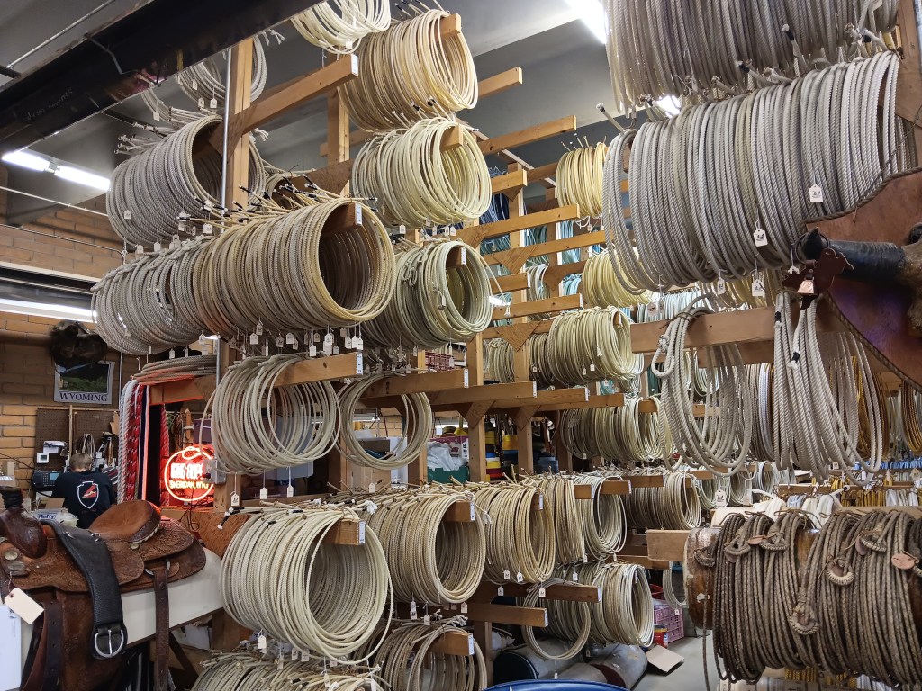
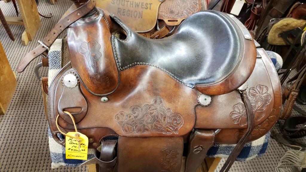
King’s is part Western-wear and tack shop, part saddle makers, part rope makers, and while we wouldn’t know a good saddle or rope from a bad one, they certainly had some superb examples of the craft.


It was nearly time to say “goodbye” to Sheridan, but we’d be doing it having made some new friends. There is nothing quite like adversity to help bring people together, and this time we were able to be on the giving end of “a friend in need.”

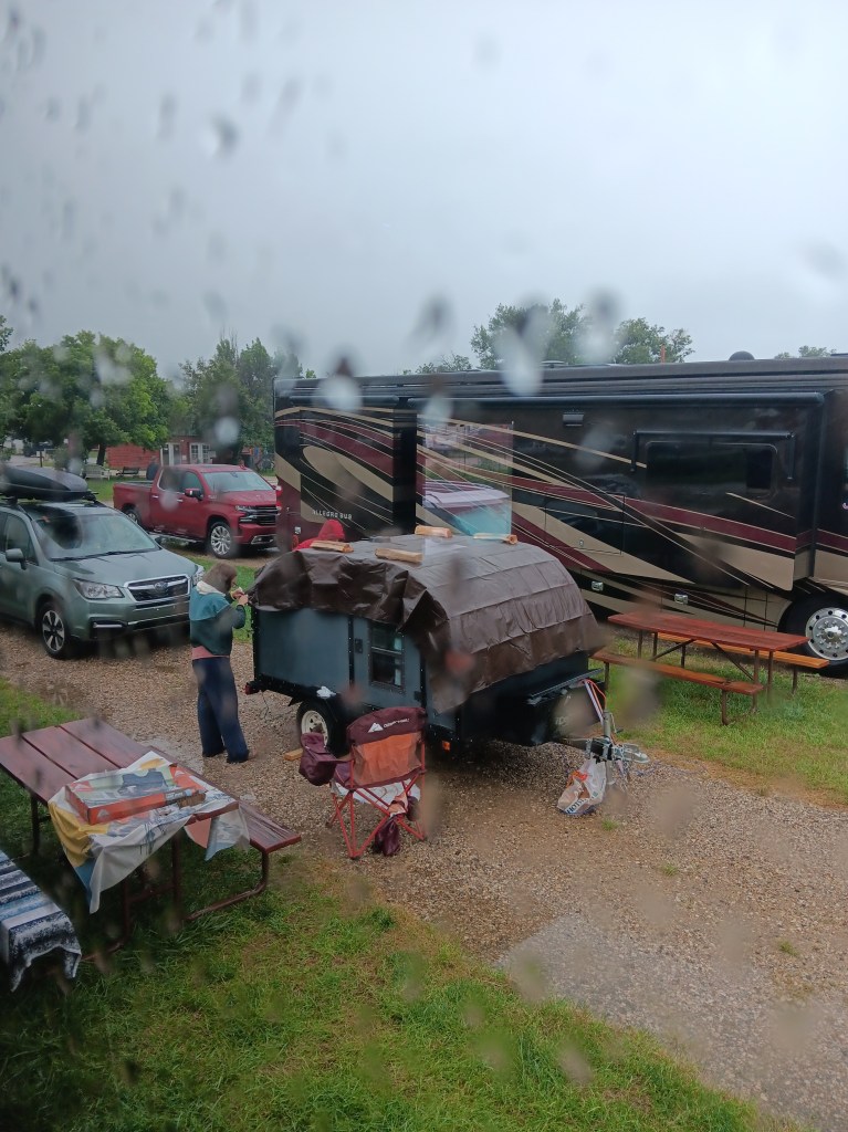
A massive storm rolled through a night or two ago, and our newest neighbor sprung a little leak. A couple three sites down had a tarp they could lend her, and we had Ruthie’s long leash, which would help tie the tarp down, plus a Disney Cruise Line towel to sop up some of the leakage. In the end, we had great conversations about each of our travels, where all of us were headed next, and which locations were in our Top Five.

You can just see Simon’s red rain jacket hood on the far rear side of the trailer

Our intrepid neighbor is heading to Alaska for work, and we wish her great success and safe travels. As luck would have it, the other couple showed up at our next campground a few nights after us, and we promised to get together and chat over a drink. But Simon bashed his noggin on one of the slide-outs before that could happen, with a little blood, a very sore neck, and an early bedtime being the unhappy result. We’re traveling roughly in the same direction, though, and we sincerely hope our paths cross again, next time with wine.

That Time Simon Landed In A Wyoming Jail

Horse thief? Cattle rustler? Common old drunk? We never did figure out his crime.

When we envisioned this grand adventure, one element that was important to us was seeing how people actually live in this vast and varied country. National and State Parks are Number One on the bucket list, but some of our most interesting conversations have stemmed from the routines of daily life in the towns we’ve been lucky enough to discover.


A full week in the city of Sheridan offered three things we were in need of: rest, the familiarity of city conveniences, and the chance to get out into Wyoming’s rural areas while also soaking up some local history, Buffalo Bill style.

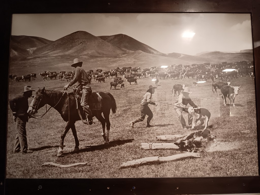
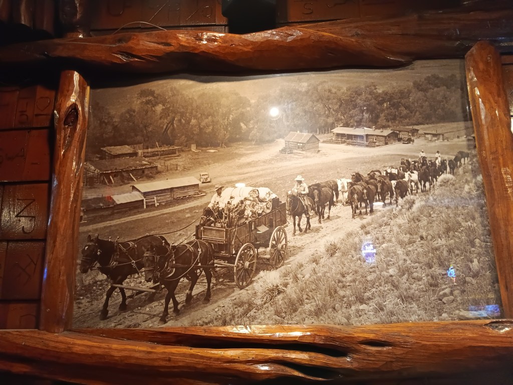
Many places we visited had wonderful period photos

Peter D’s Wyoming RV Park was our base, and Peter and his wife Barbara were eager to share recommendations for places to see, make suggestions for drives to take, and offer fresh vegetables from their garden. Susan, who is still coming to terms with the loss of her parents, felt tremendous joy when fresh-picked pattypan squash showed up on the office counter every morning, free to take. Her parents and their beloved garden landed smack in her heart each day.

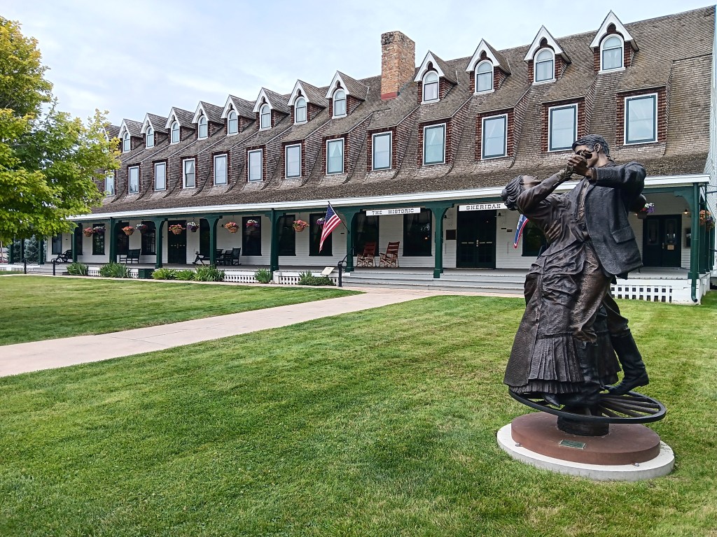
Our first order of business was to explore the town. Sheridan was once William F. “Buffalo Bill” Cody’s stomping grounds (the man got around!), specifically, the Sheridan Inn, now a historic building.

Historic Sheridan Inn

The inn’s big, wrap-around porch could tell a few stories

It was built in 1892 and notable at the time for being the first building hereabouts to have electricity and bathtubs.

We didn’t see the bathtubs, but this guy in the lobby is pretty impressive

Now, it is primarily remembered as the place where Buffalo Bill Cody staged auditions for his Wild West Show. A painting in the lobby’s main staircase area captures that special time.


In its heyday, the inn was a social hub, and today its dining room is being refurbished to pay homage to those grand times. We were given a tour by the Executive Chef, who is eager for the restaurant’s reopening.

The bar area of the restaurant

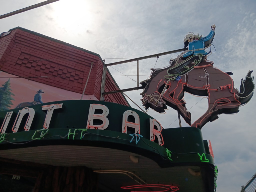
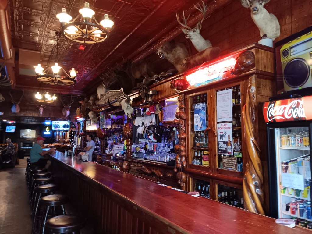
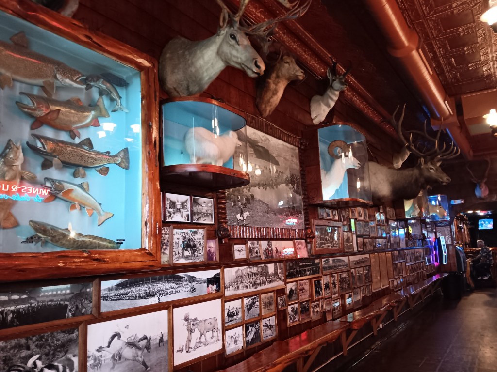
Mint Bar in the downtown area is another historic landmark, built in 1907, home to a secret speakeasy during Prohibition, good neighbor to a brothel a few doors down, and now decorated with the taxidermized heads and bodies of Wyoming’s big game, fish, fowl, and a formerly 8ft 4in/80lb rattlesnake with 27 rattles.


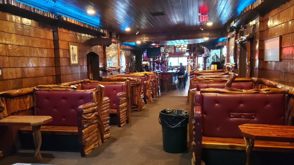
Cattle ranch brands are burned into the walls, and there is a tremendous amount of Knotty Pine, Burl, and Mahogany, in keeping with its cowboy/cowgirl/rancher/dude vibe. We didn’t stop for a drink, since it was only 10 a.m., but Ruthie was allowed in, so we had a good look around and a nice chat with the bartender and a patron.


In the 1920s, the Mint Bar also served as post office of sorts, but we were about to discover an even more incredible post office as we drove the 120-mile “UCLA” road, which took us out to the tiny town of Ucross, the slightly bigger town of Clearmont, the not-even-big-enough-to-be tiny Leiter, and the perplexing Arvada, which seemed to consist of a saloon and a few houses.

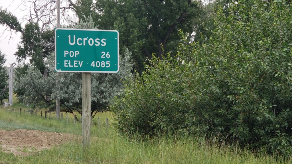
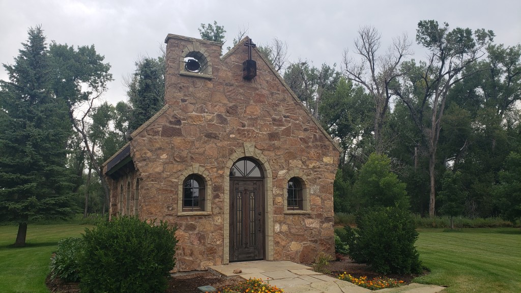
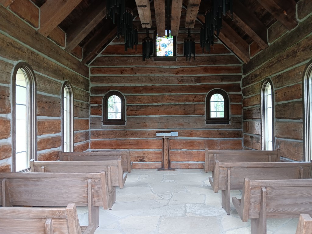
Ucross was once four separate ranches, one of them owned by Marshall Field (founder of Chicago’s famous department store), and, predictably, the land was once Native American hunting grounds. You can see “money” here, in the beautiful library (used primarily for township board meetings, we’re told), a lovely little chapel that can fit all 26 of the town’s residents, and the Ucross Art Gallery, which hosts residency programs for artists from across the country, but isn’t, apparently, open in the middle of the day on a weekday, so we couldn’t pay a visit.


This beautiful building is the library

Clearmont is the result of the railroad and of cattle drives from Texas. Cattle were driven north for grazing lands that would fatten them up nicely, then were loaded onto cattle cars for “distribution.”

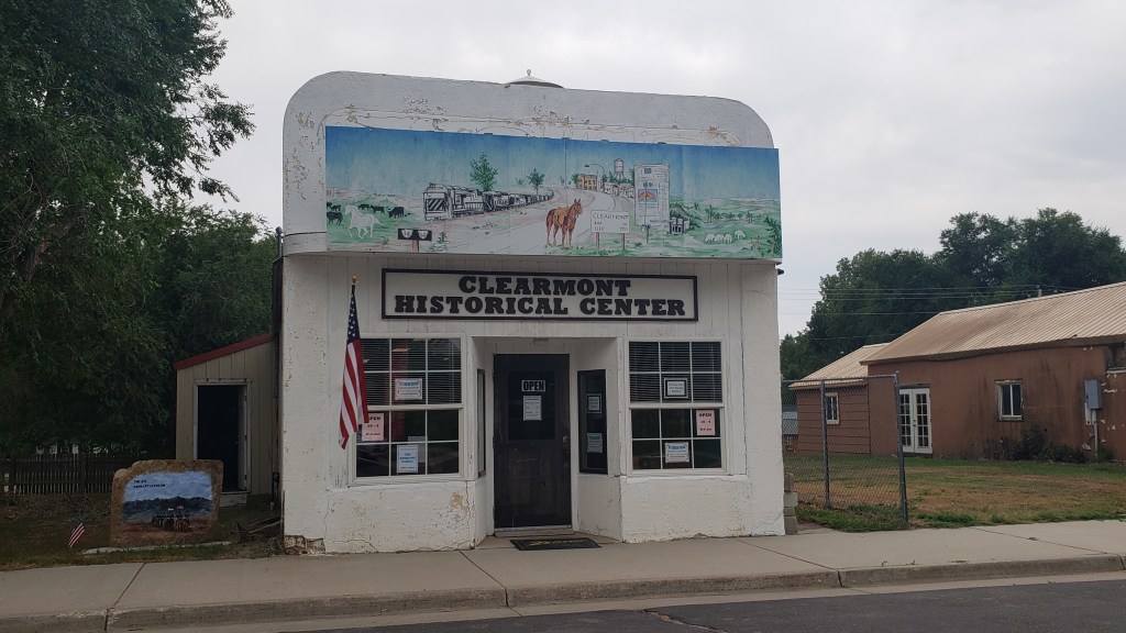
As we slowly drove past the Clearmont Historical Center, one of the staff members leaned out the door and waved us in. He and his associate told us all about the town’s history, including a modern-day connection to a wealthy British man who wanted to experience the cowboy lifestyle, so he purchased one of the area’s largest ranches.


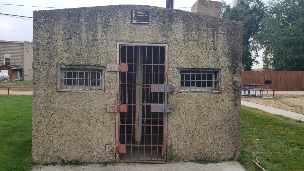
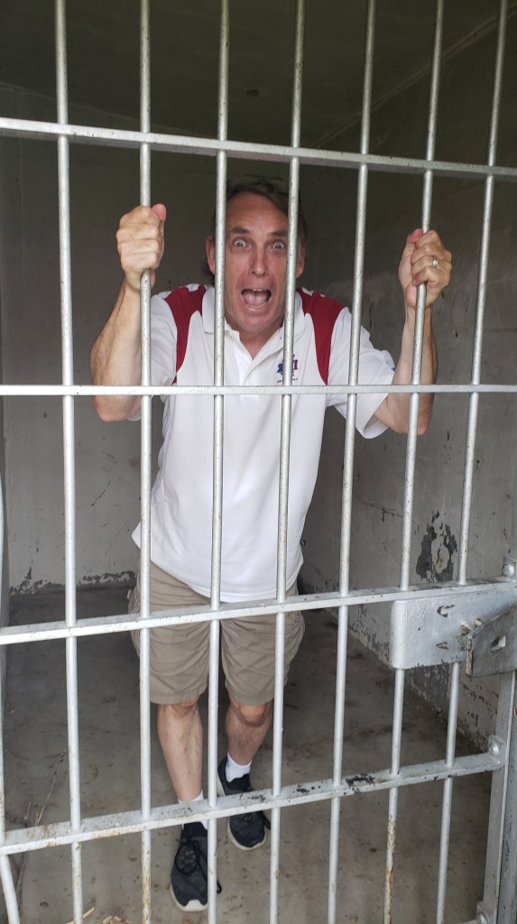
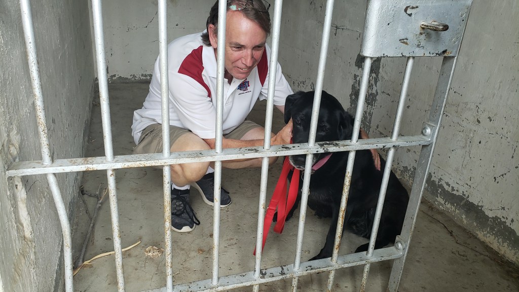
Our good man offered to show us one of the towns earliest buildings, which was a small jail. This being the wild, wild west, one can only imagine how necessary a jail was, even for a brand-new town. It was then that Simon was invited into one of the two cells, to enjoy the vantage point achieved when good cowboys took charge of bad cowboys who caused trouble.


“I demand to know my crime!”

Ruthie, who loves Simon, joined him immediately so as to provide moral support during his incarceration.


Get coffee in Leiter and have a burger and beer in Arvada, we were told, so that was the plan going forward. As with most plans we make, this one took a turn for the unexpected.

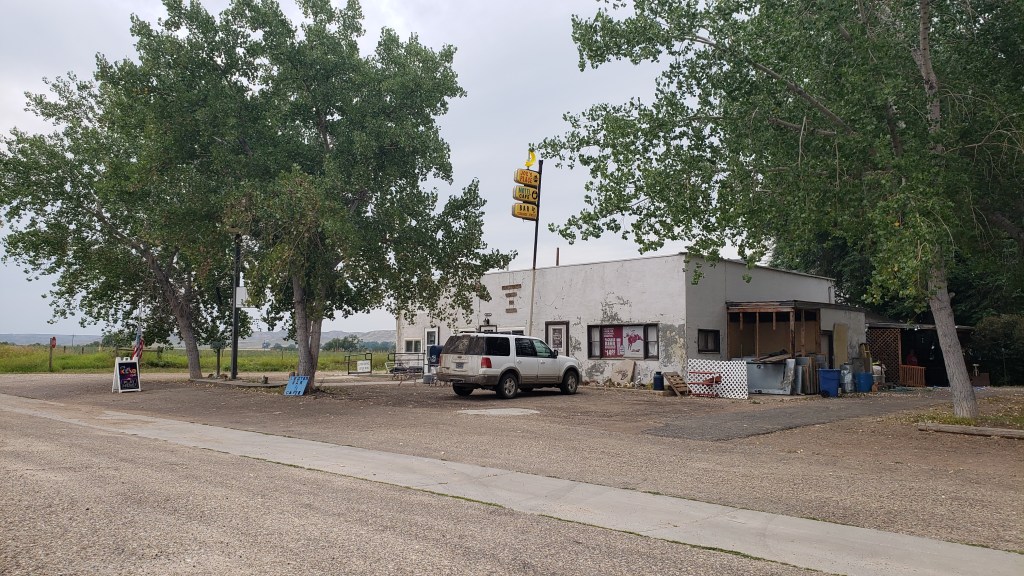
Leiter is literally one building that serves as a post office, bar/café, and house for the town’s only three residents.

This, right here, is Leiter. All of Leiter.

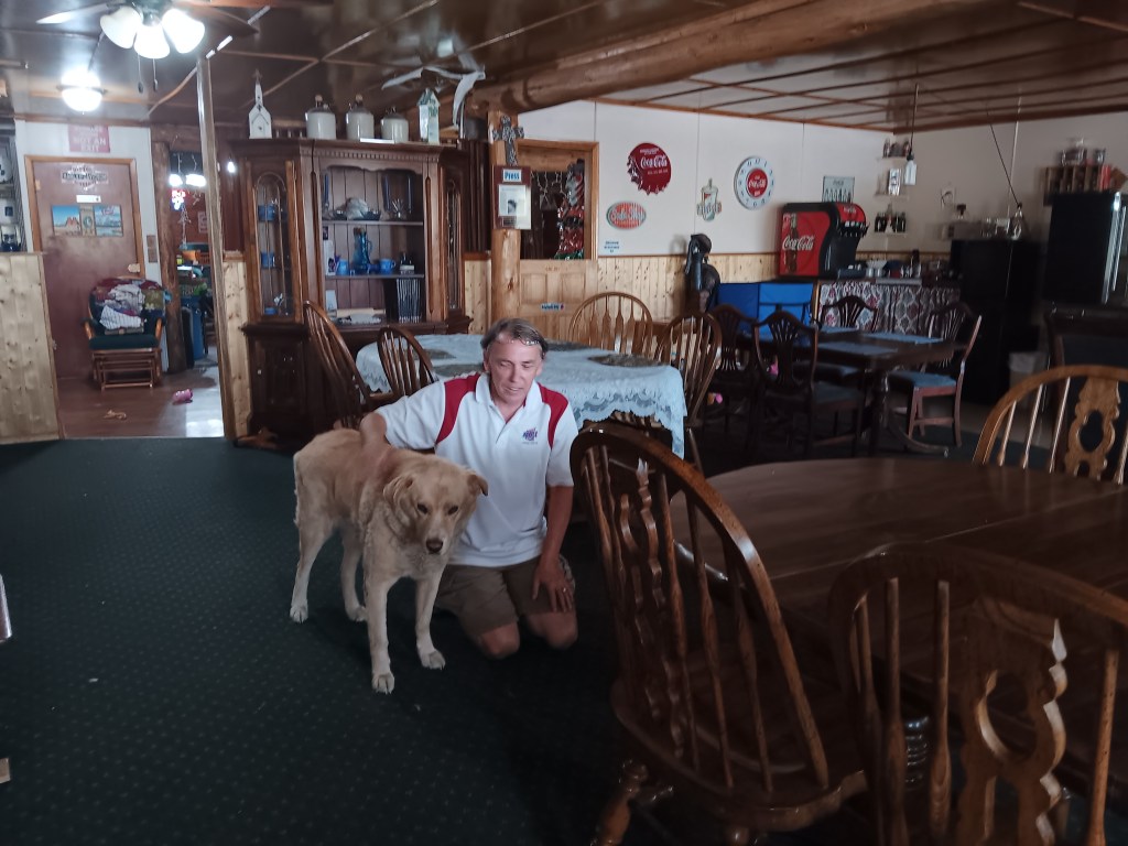
When we stopped for Simon’s much-needed coffee fix, we opened the door to a family home, which also serves as the café. The owner kindly made a fresh pot of coffee, shared some comments about her life, and let us pet the dog.


We hadn’t expected to enter someone’s house, and were honestly not sure what the protocol is for such a situation. Were we inadvertently being incredibly rude, or was this the norm? The feeling we’d committed a serious faux pax stayed with us for quite some time.

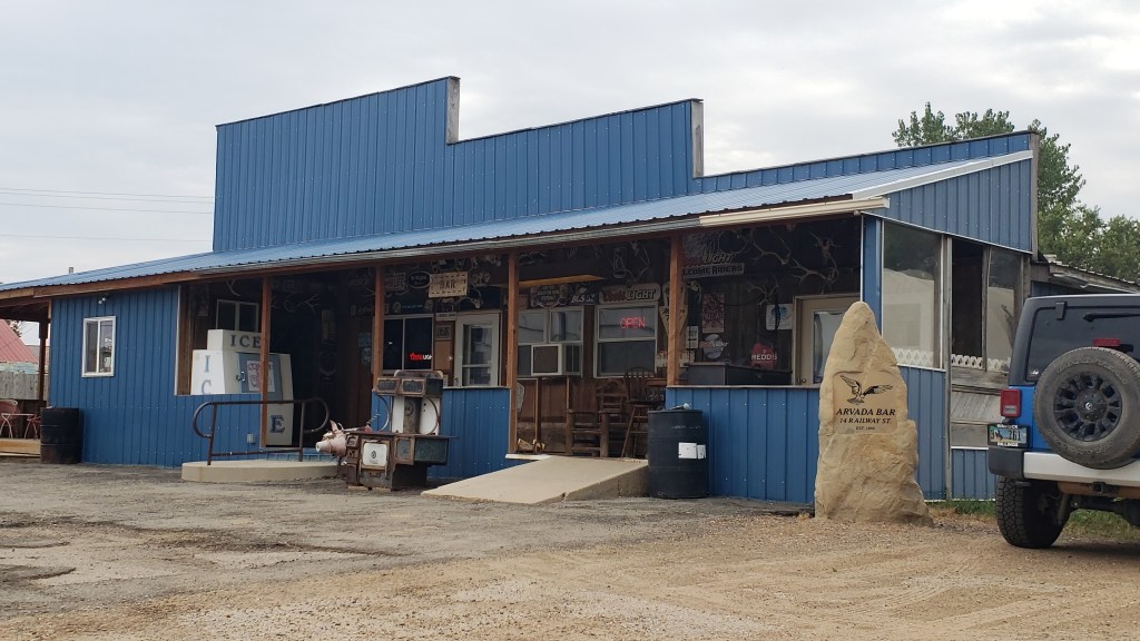
It’s rare that our social forwardness fails us, but it did when we reached the Arvada Bar. It looked like a public place, but we couldn’t bear the thought that we’d step into someone else’s home expecting them to cook us up a burger, so we made a U-turn and headed back toward Sheridan. It was literally the end of the road anyway, so there’s that.

A bar? Someone’s house with a bar in it? We’ll never know.

We’ll save our visit to Buffalo and another foray into downtown Sheridan for another blog. Suffice to say that, as in Montana, over the course of the week we came to the conclusion that Wyoming’s good people have grit, determination, and the ability to cope with whatever comes their way, on their own. When your neighbors are miles and miles away, there are no stores or services, and there are a million ways life can turn on a dime, you’ve got to be self-sufficient in a way Simon and I know we are not.


We ended our week in Sheridan feeling the city itself is a place we could imagine having a home (summertime only!), but we also came away from it feeling the immense privilege and convenience we’ve enjoyed all our lives. And when you know it – really know it – you’d damned well better live your life with gratitude.

Montana’s Tiny Ghost Town

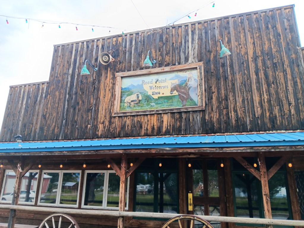
Reed Point Welcomes Ewe!

In 1891, the Crow Nation “ceded” land in southern Montana to the U.S. Government. Homesteaders from Norway, Sweden, Germany, and the Midwest settled and began farming the land. Just over 100 years later, tiny Reed Point is a living ghost town.

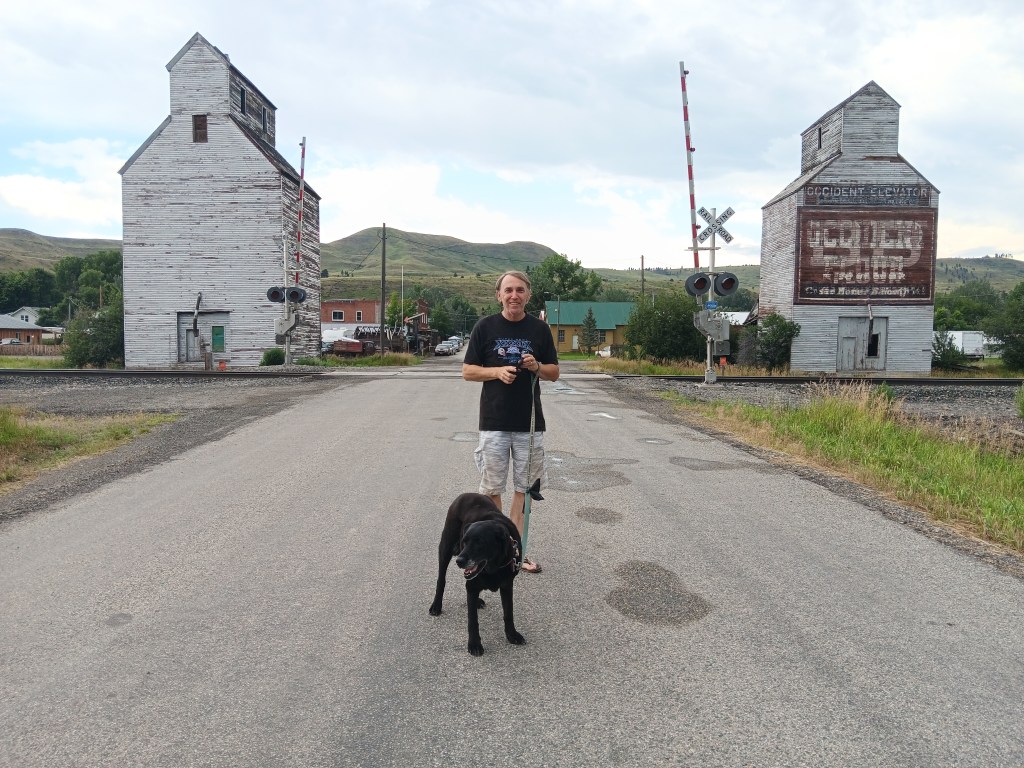
The main street through Reed Point

It’s considered a “living” ghost town, because, well, there are still people living there, but the town itself looks all but deserted. Its current population has steadily dropped, and is now around 96, so it isn’t the smallest town we’ve seen (that distinction goes to Leiter, WY, population 3, each of whom we met), but it has held on to its wild west vibe as businesses closed and people moved on.

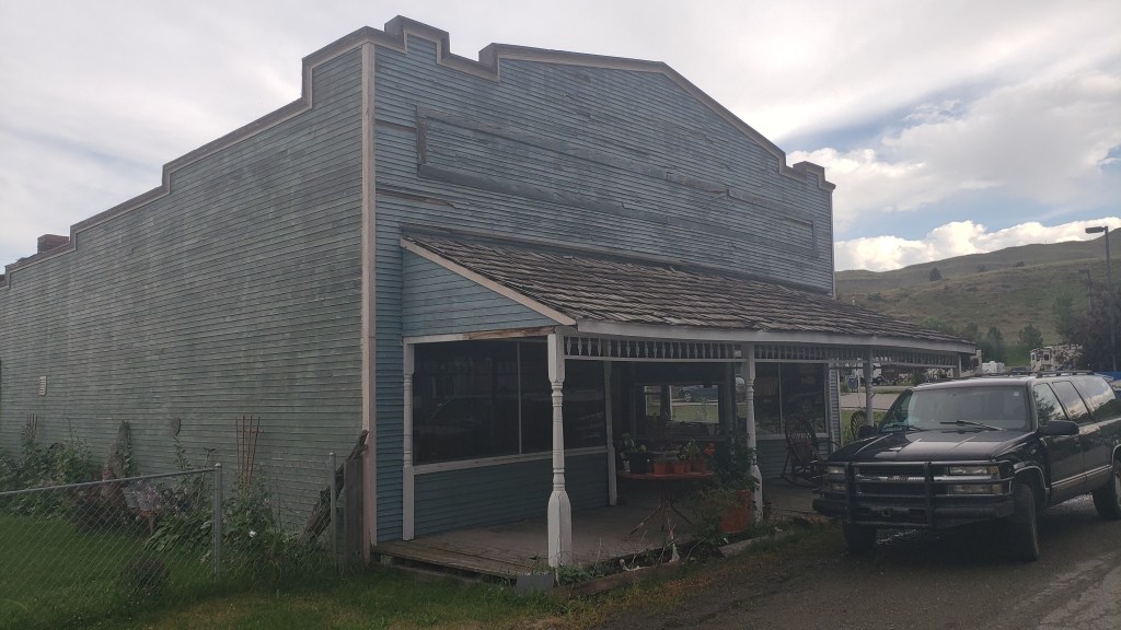
Buildings are still there, but they’re empty

Reed Point holds the title of “Sheep Drive Capital of the World,” but we didn’t see any sheep

We walked all the way out of town, and it took…well..about a minute

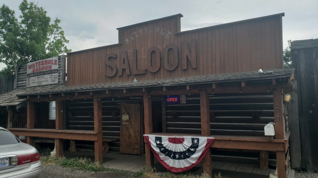
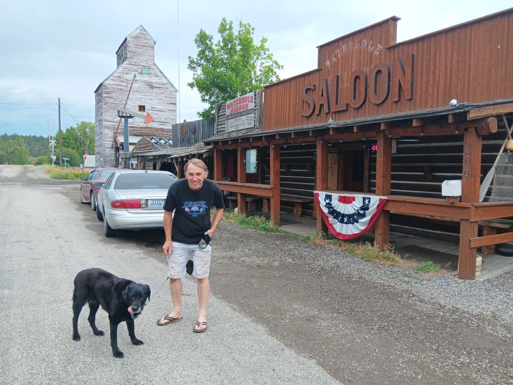
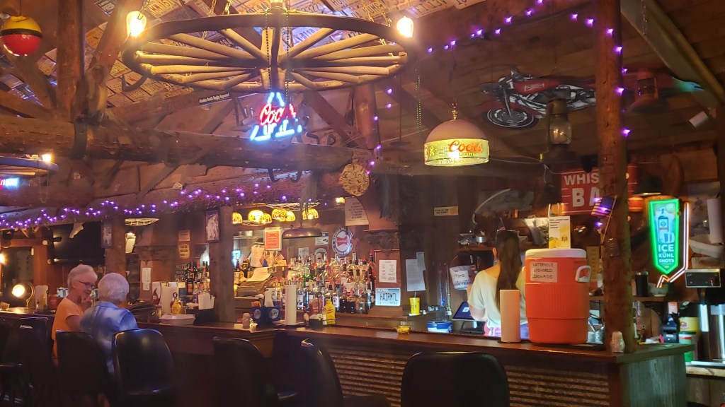
The only truly viable prospect in town is the Waterhole Saloon. When we checked in at the Old West RV Park campground, the owner told us to go there because “they have great food.” When we got settled into our site, our neighbors told us to go there because there’s nothing else to do, and “they have great food.” So, we went.

There is a friendly warning on the low roof at the far left that reads, “Wach Yur Noggin.”

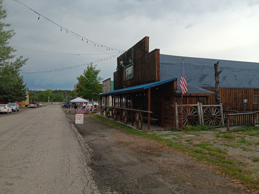
It was less than a block’s walk from the campground to the Saloon, and along the way we happened upon the local Friday Farmers Market (open 5p.m.-7:30p.m.), which consisted of one small tent with three people selling things like chokecherry jam, eggs, baked goods, and homemade soap.

The little white tent is the Farmers Market

But we were on a mission to discover the “best burgers,” so we chatted for a few minutes, then continued to the Saloon. There was no outdoor patio for people who had dogs with them, but never mind; dogs were welcome to hang out inside as long as they were on their best behavior, so Ruthie had her first experience dining inside a restaurant. They even serve a Puppy Patty of unseasoned ground beef so your dog feels like family.

Someone’s hoping they get a Puppy Patty


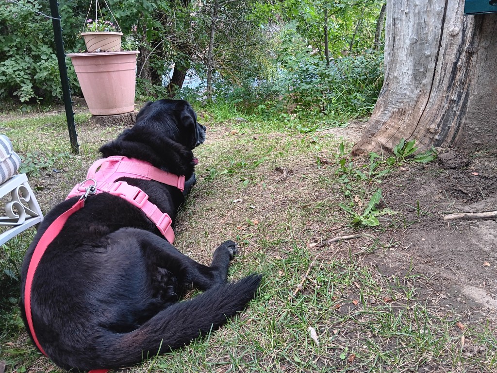
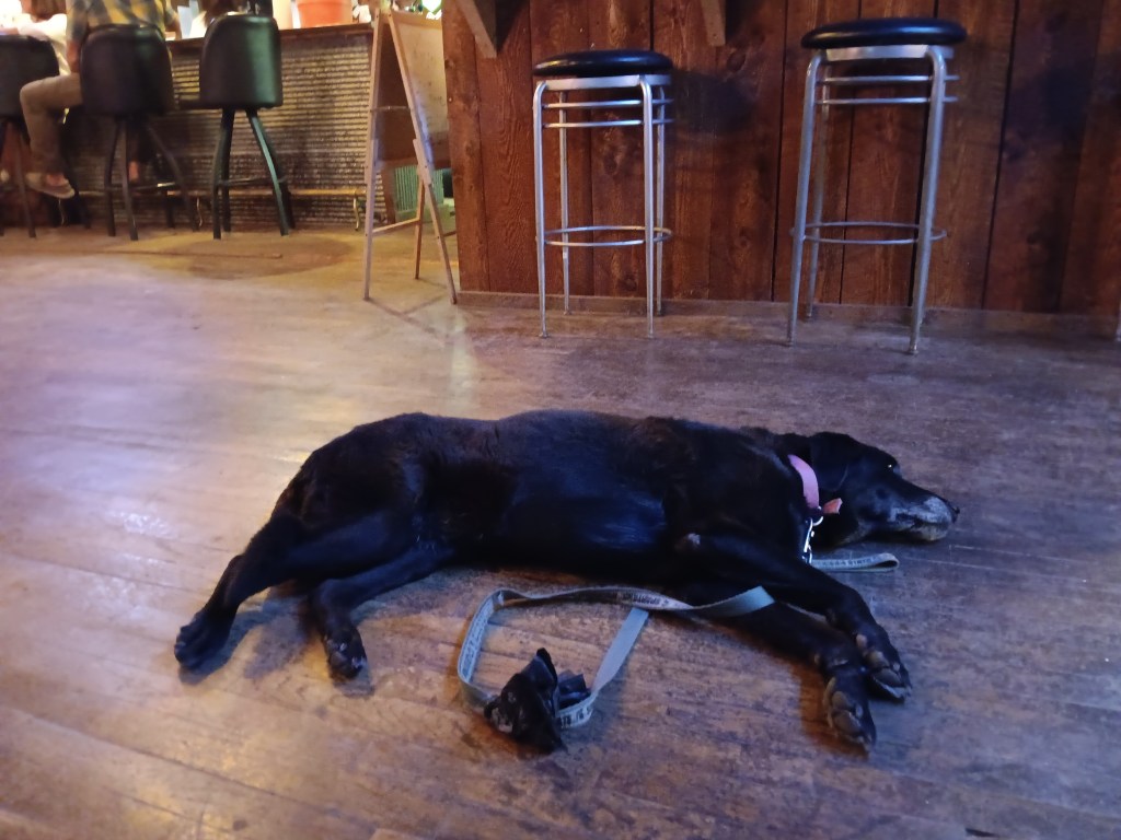
How Ruthie spent all her time, when she wasn’t staring us down hoping for food

Susan ordered a classic burger with lettuce, tomato, onion, and pickle, and Simon ordered the same, with the addition of cheese, bacon, and jalapenos. His came with fries, hers with onion rings, and in the end, Susan only made it through half, because those burgers were nearly as big as her head.


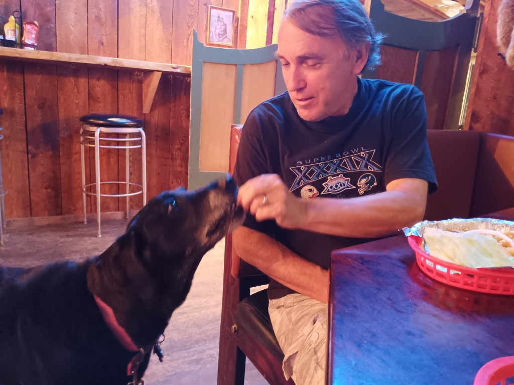
Ruthie helped by having several small bites and a couple of fries as a reward for being such a good girl.

“I love my life right now!”

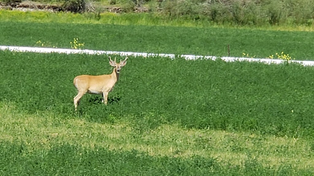
We told our wonderful waitress we’d be back the next evening to try their popular wings, but Susan ruined that plan, having had more fat than her gallbladderless body could handle with that massive burger. There are no photos of her agony, and even if there were we wouldn’t share them. Instead, here’s a deer we saw standing on the side of the road the next day.

Deer

We’d seen all there was to see by the end of our arrival day, so the next morning we pointed Nippy west and backtracked to Greycliff Mill, 13 miles away.

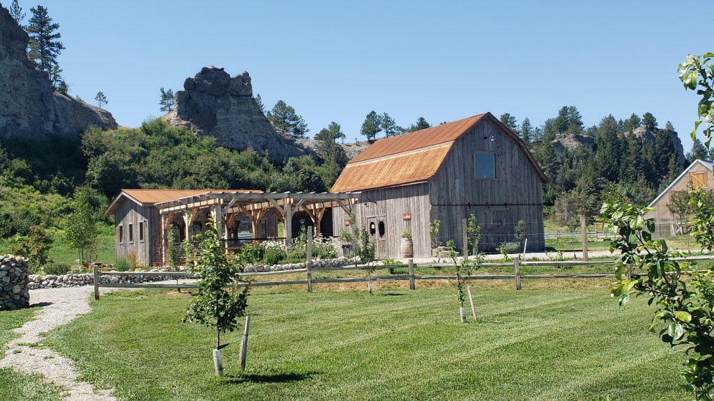
Greycliff Mill, with jagged, rocky hills behind it that should have been filled with frolicking Bighorn Sheep, but weren’t

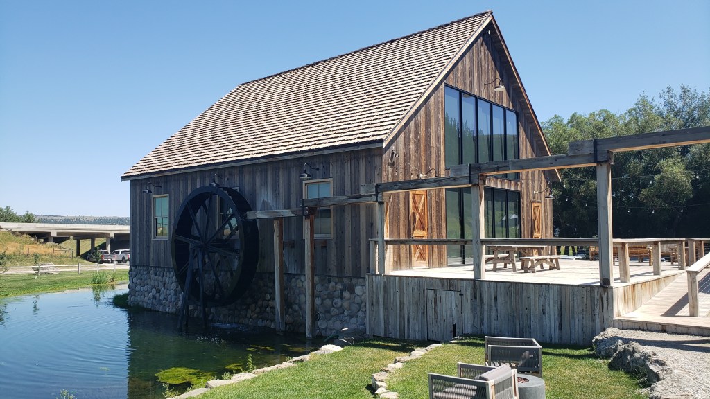
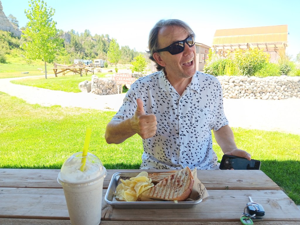
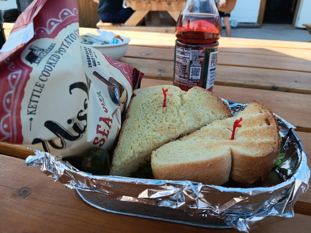
Rustic as Reed Point was, Greycliff Mill was slick, manicured, and totally within our comfort zone, which made a nice counterpoint to all the “unfamiliar” we were experiencing. Its charming ponds and working waterwheel offered a picturesque backdrop for a picnic lunch, and, having skipped breakfast, we indulged in a couple of sandwiches and milkshakes, which would hold us until late that evening.


Susan’s veggie sandwich and chocolate shake were good, but the prize went to Simon’s brisket sandwich and the scrummiest Espresso milkshake ever conceived by humankind. Probably the best milkshake either of us have ever had, and that’s saying something.


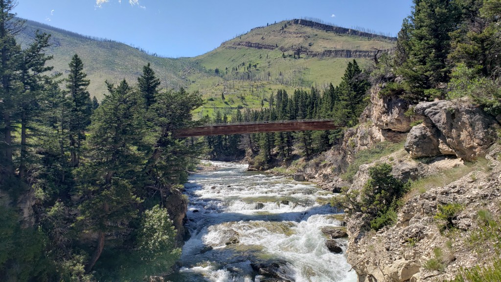
At this point you may be thinking all we did was eat for two days, which is partly true, but we’re not just pigs, we’re sightseeing pigs, so once lunch was over we made our way to Boulder River and Natural Bridge, a scenic drive in the area.

This might be Natural Bridge, but it’s not natural, it’s just the only bridge. So we were confused.

We had no idea what Natural Bridge might be, but when we found the turnout for it, we were happy to discover it was a) just a short walk away, and b) dog friendly.

Click image for video

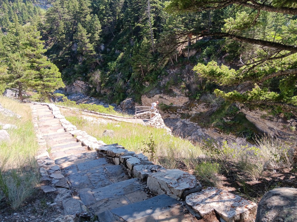
Simon, of course, couldn’t wait to get out to any perch that hung out over a long drop-off, and happily trotted along the pathway from overlook to overlook.


The afternoon heat had us scrambling back to the car after twenty minutes or so, but the canyon was pleasant, so we were happy to keep driving.

It was all going so well – a lovely, burbling river on one side of the road, absolute loads of character in the hills and rocky outcroppings on the other, and those magnificent falls – until, suddenly, it wasn’t.

The “Road Narrows” sign was the first hint once we set off again, but someone whose first name begins with the letter “Simon” didn’t take the hint. The second hint was Susan saying, “Simon, I think we’re getting into a situation here.” And we were.

The now-gravel road definitely narrowed. Like, one-car narrow, with the river far below on one side and the mountainside right up next to the road on the other. We won’t repeat the commentary as we dealt with a car coming the opposite direction, and then our own turn-around in an area too small to turn around in, but since you’re reading this, you know we survived (and turned around).

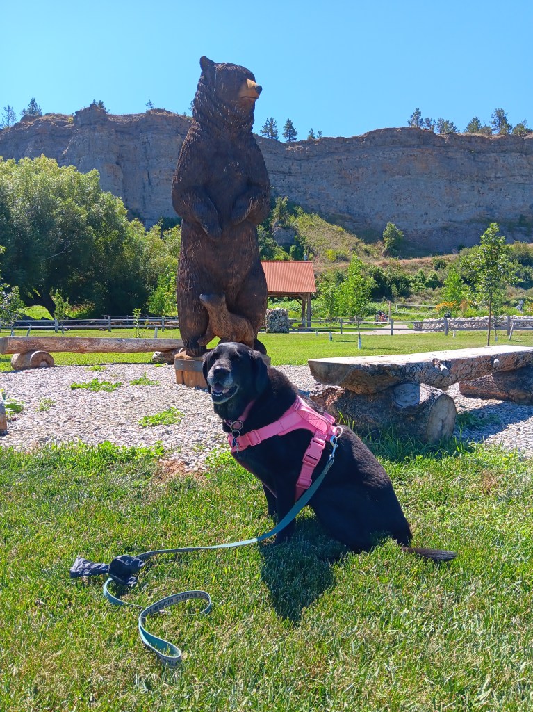
There are no photos of the tight squeeze. Instead, here’s a photo of Ruthie with a bear.


We’d done Montana justice, and it was time to move back into Wyoming. Our new plan also included slowly moving south through Wyoming and dipping into a state we thought we’d miss when we were working out our original schedule: The “Switzerland of America,” Colorado. 

Whoa, Big Fella!

Fati taking a well-deserved break in the middle of nowhere Montana

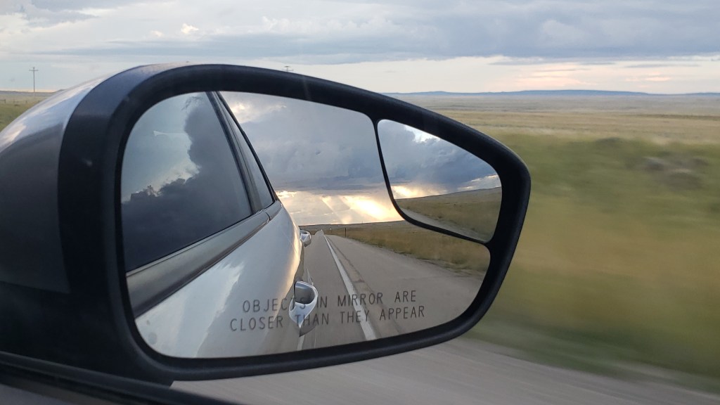
With Glacier National Park in our rear-view mirror, we finally – finally! – put our plan to slow the hell down into action. We also headed east rather than following our original schedule, which had us moving west into Idaho, Washington, and Oregon. Not only that, but we’re now playing things a bit by ear, and will only pick up our original schedule when we’re darned good and ready, with any changes we decide will make us happy.

Among the issues that helped us make the decision to amend our aggressive schedule are fuel prices and campground costs along the west coast. We also feel we’re putting too much stress on Fati, and on ourselves, and it’s not “sparking joy.”

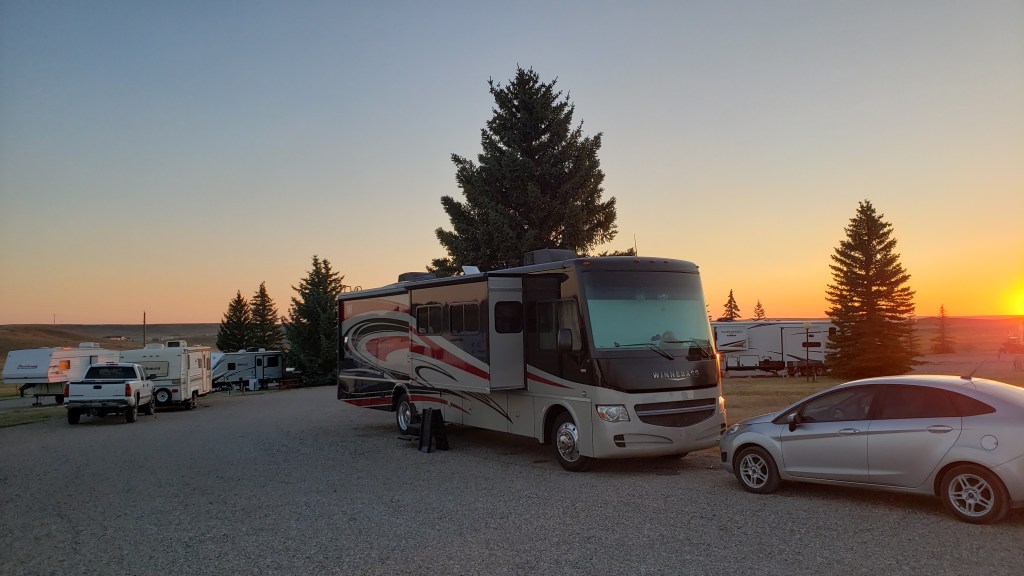
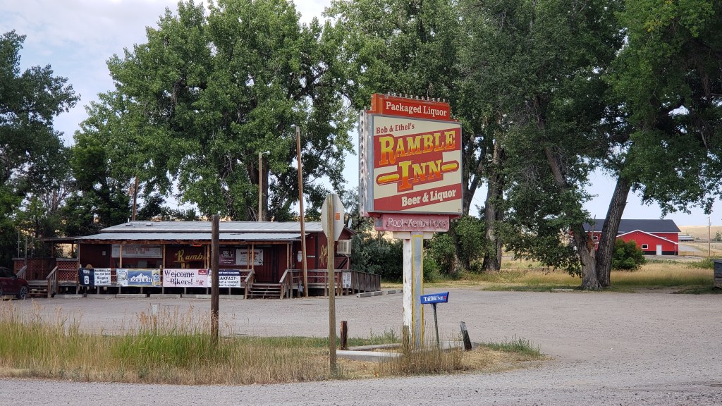
Bob and Ethel, you rock! These wonderful, homespun, local sites are the kind that do spark joy for us.

Along with a desire to see the country, the point of this trip was to make up for more than a decade of being on someone else’s schedule when we travel, enjoyable as it has always been, and just going where we wanted to go, doing what we want to do.

If we were the ones setting an unreasonable pace, we were also the ones who could change that. So we did.

Admittedly, we had to do a little Montana campground hopping first, with two nights in Shelby, four nights in Great Falls, and two more nights in tiny Reed Pointe before a full, blissful week (!) in one place after crossing back into Wyoming.

Shelby was a stopping point to catch our breath after the full-on touring in Glacier and Yellowstone, and one of the tiny town’s charms was that there is nothing at all to do there. Nothing. We’d spend a day working and cleaning the rig, have two good nights’ sleep, then move on.

This is pretty much all there is ’round here

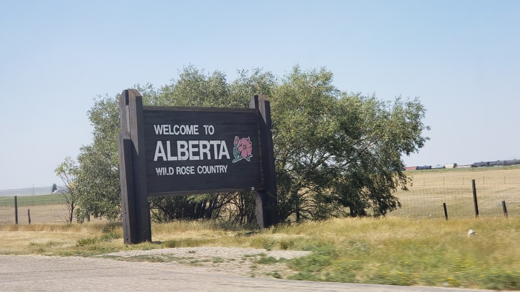
It didn’t work that way, of course, and through no fault of our own (okay, entirely through our own fault) we found ourselves crossing the Canadian border into Alberta in Nippy, where the super-efficient, super-friendly border guard told us there was nothing at all to see until we reached Lethbridge, 60 miles north.


So, Yay! That was our new plan!

If there were any wild roses around here, we were incapable of identifying them

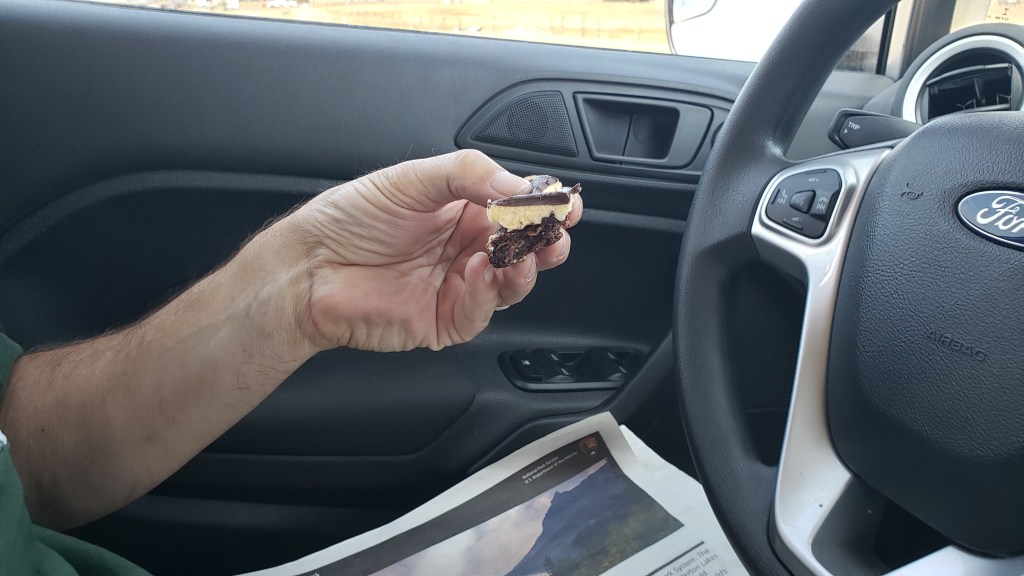
The area north of Shelby almost all the way to Lethbridge was rolling hills, farmland, a few pronghorns, and not a whole lot else. We did stop in a tiny, tiny town that probably has a name, but we don’t know what it is, where we found a tiny, tiny store where Simon hoped he could find a nice iced coffee (fat chance!). Instead, we found bottled ice tea and bottled Starbucks Frappuccino, but we also found a uniquely Canadian sweet, the Nanaimo Bar, with its chocolate, coconut, ground almond, and crushed graham cracker base, stiff buttercream middle, and chocolate ganache top. Crumbly, sweet, and probably the third most exciting thing Alberta had to offer us that day.

It was small, and we split it, but that was enough

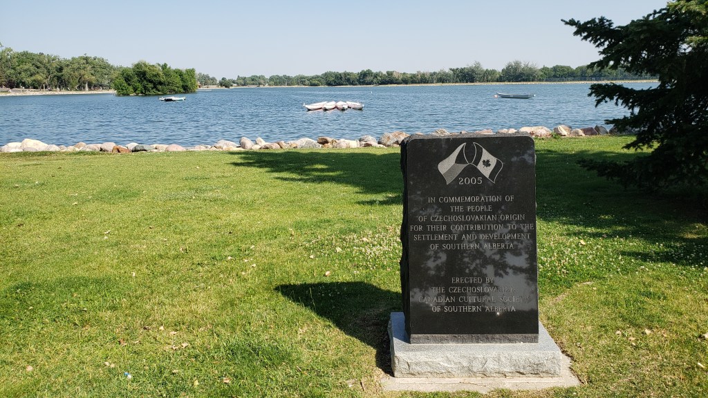
The second most-exciting thing we found was a beautiful city park in Lethbridge, where the 99F temperature in Shelby that drove us out of our tin can home and into Nippy’s air-conditioned comfort was lessened to around 95F, and much of the city was enjoying the park’s swimming pool. We took a walk along the lake (no swimming!), staying in the shade as much as possible.

The heat must have gotten to us, because, for some reason, we have one photo of the lake…

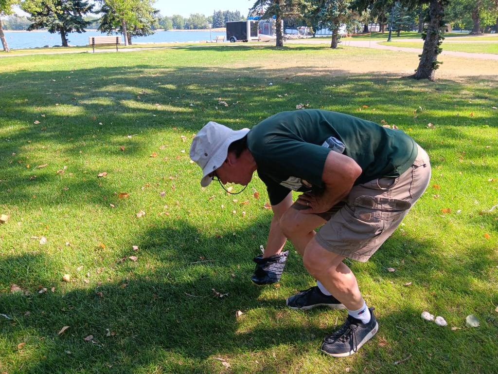
…and one photo of Simon picking up Ruthie’s first international poo.

Simon is drawn to trains the way he’s drawn to precarious places with steep drop-offs, and we’d seen a sign for the Lethbridge viaduct, the longest (5,327 ft), highest (314 ft) train trestle bridge in the world, so we headed there next. As luck would have it, a train made the crossing shortly after we arrived.

CLICK FOR VIDEO

But the winner of the Most Exciting award was the Canadian Duty Free shop on the way back into the U.S., which closed at 7 p.m. and which we reached at 6:59 p.m. A liter of Bombay Sapphire and a bottle of brandy later, we high-fived each other for our magnificent day, and for the fact the evening had cooled down considerably, making our home on wheels tolerable again.


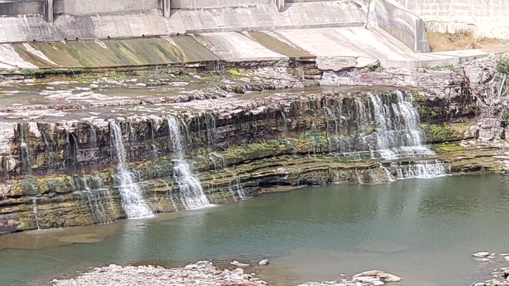
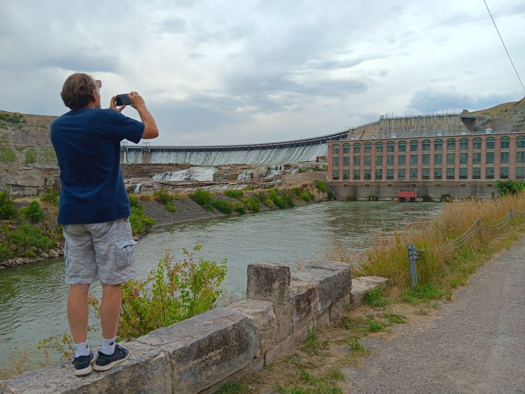
It was on to Great Falls the next morning, where we spent two days exploring the three sets of falls…


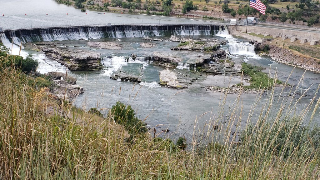
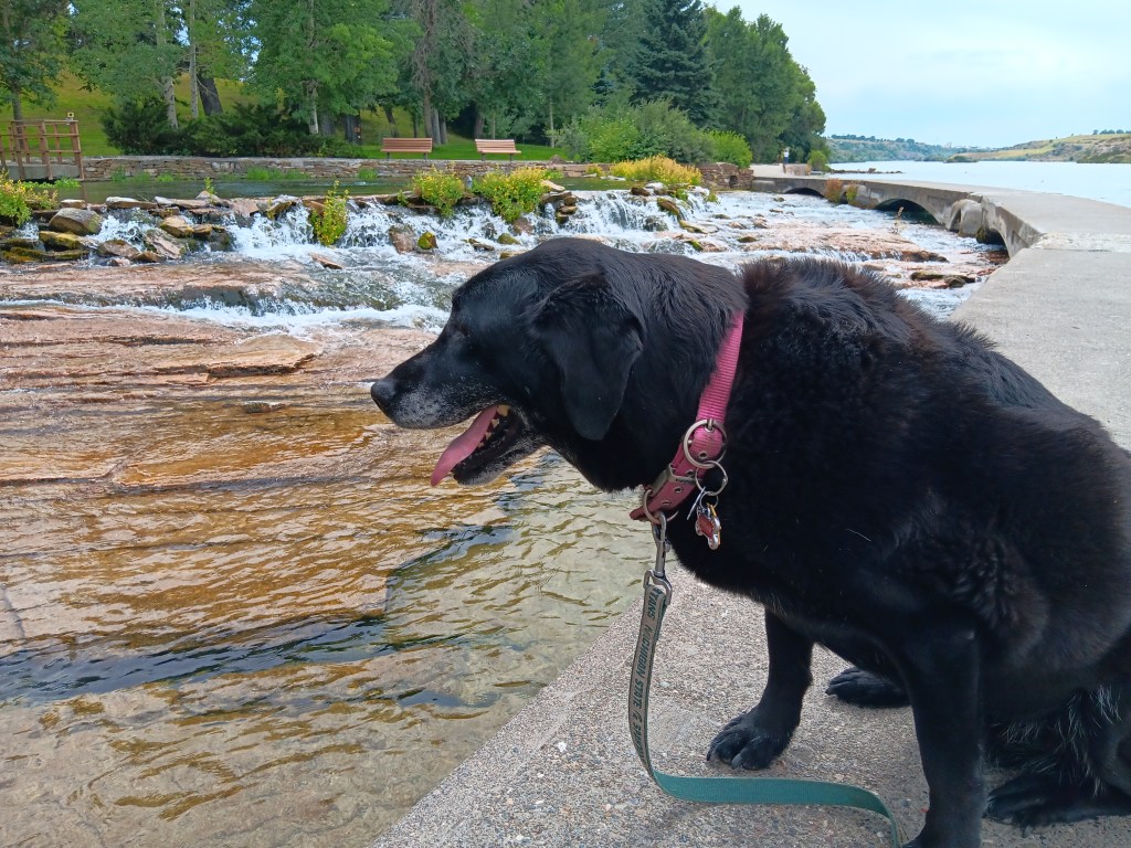
…the Giant Springs Fish Hatchery park, where we found a spring that flowed into what is now the shortest river in North America…

CLICK FOR VIDEO

Bonus points if you can spot Susan in the distance, making this a double selfie!

Do I want to go in? Don’t I want to go in? I don’t!

Ruthie was captivated by the fish

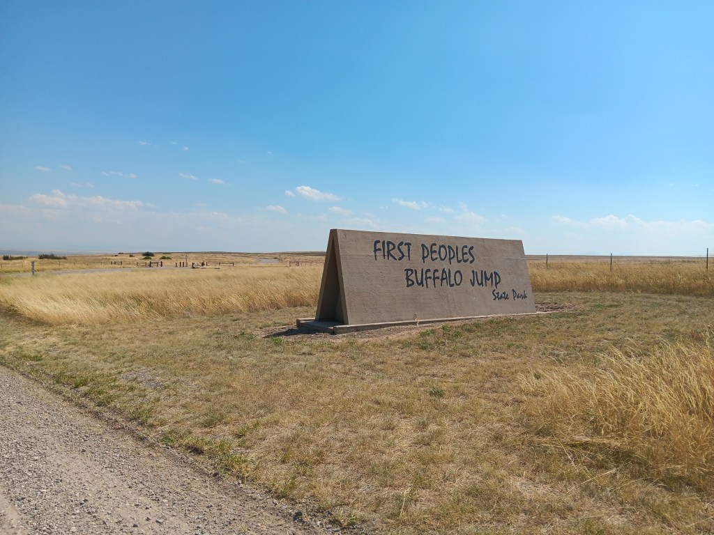
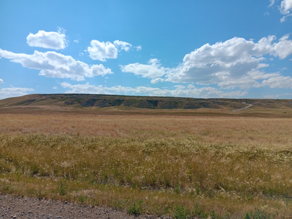
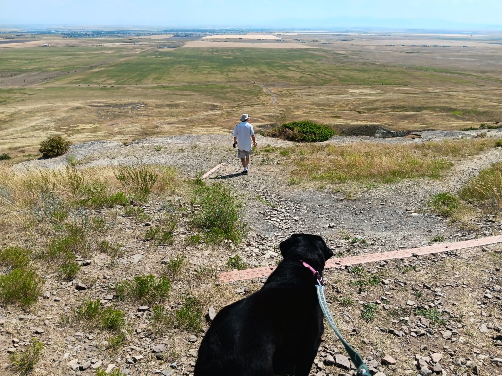
…and stood on the precipice of a sandstone cliff at First People’s Buffalo Jump State Park, where, for 12,000 years, countless bison met their end.


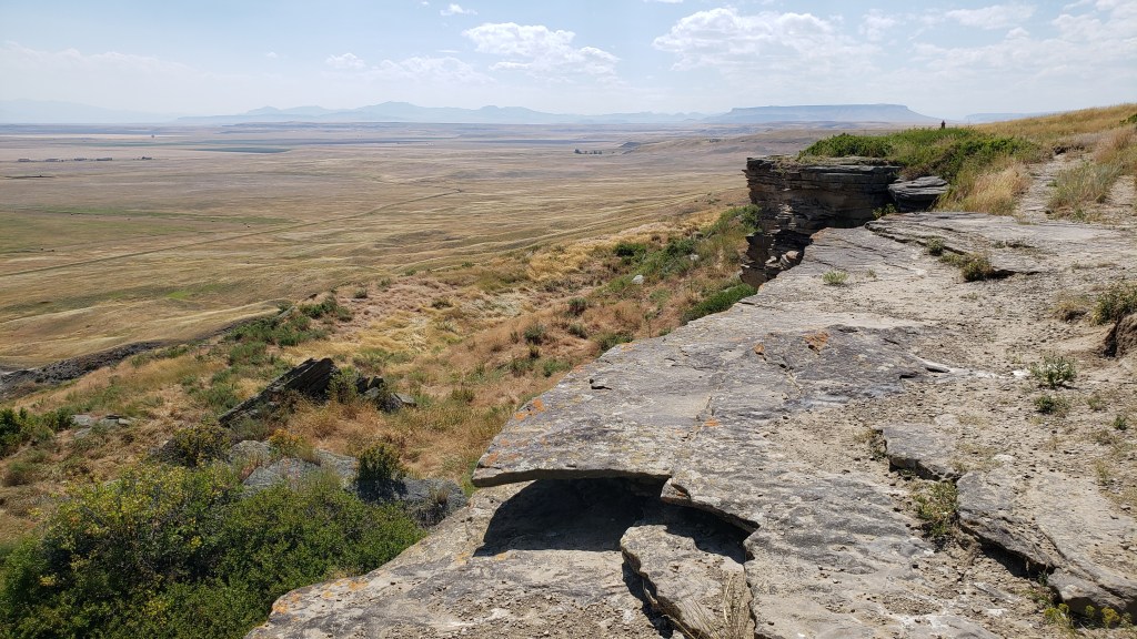
The rocky cliff is the terminus of a vast grassy area where bison once roamed. Plains Indians would gather here, stampeding the bison, sending a “runner” into the fray, and running the bison off the cliff.

Imagine this absolutely vast prairie filled with thousands of bison

The “runner” (who ideally stayed just ahead of the stampede) also jumped off the cliff, knowing a second cliff lay just below, which he could use to back against the mountainside as the bison tumbled past.

“Simon, NOOOO! Don’t jump! I will wait for you here, forever!”

While the mile-long cliff is an attraction in the area, it’s also a sacred site, with 18 feet of compacted buffalo remains below the edge. You can feel what happened here, all this time later, and, for us, it was both impressive for the creativity that allowed humans to take down massive animals that helped keep their tribe alive, and upsetting to our modern sensibilities for the lives lost, and the way in which they were lost.

This is the first cliff edge. Just below is a second cliff, and after that, a huge drop

Even that second cliff, roughly in the middle of the photo, is a long way down. The valley is WAY down
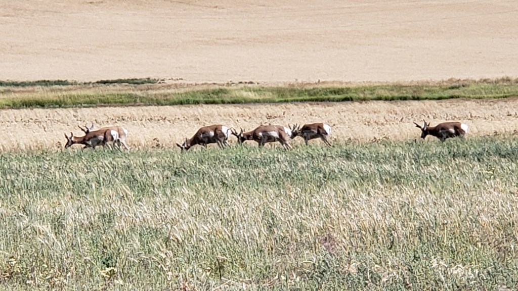
These pronghorn were the only animals we saw at the bottom of the cliff

On our final day in the area we took the Cascade Scenic Loop from Great Falls to Wolf Creek, with a lunch stop at the Lazy B Bar & Grill (with dog-friendly outdoor seating), where Simon ordered hot coffee (which came in a tin mug) and S.O.S., which some (most? All?) Americans will know as “shit on a shingle.” It’s chipped beef in a cream sauce on toast, and Susan absolutely hates it. Simon dug in, and declared it “a classic American breakfast dish that everyone should try at least once.”

Well, as long as you’re happy….

It isn’t that, but he was happy, and that’s what counts with husbands. Susan had a BLT.

What sensible people eat. But why so big?

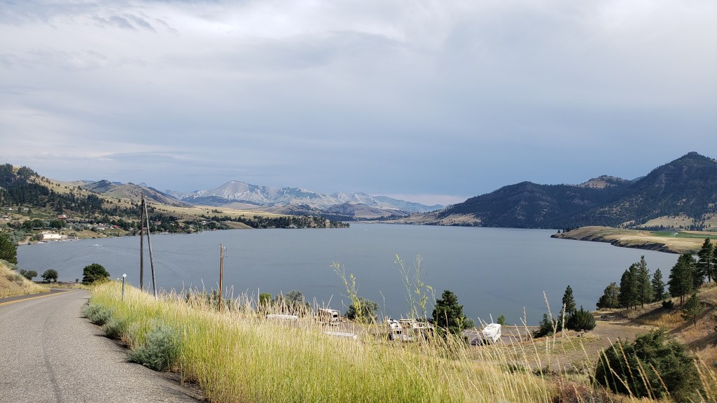
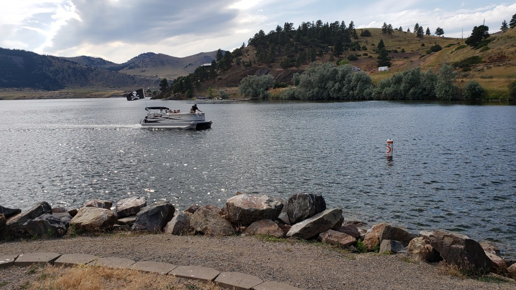
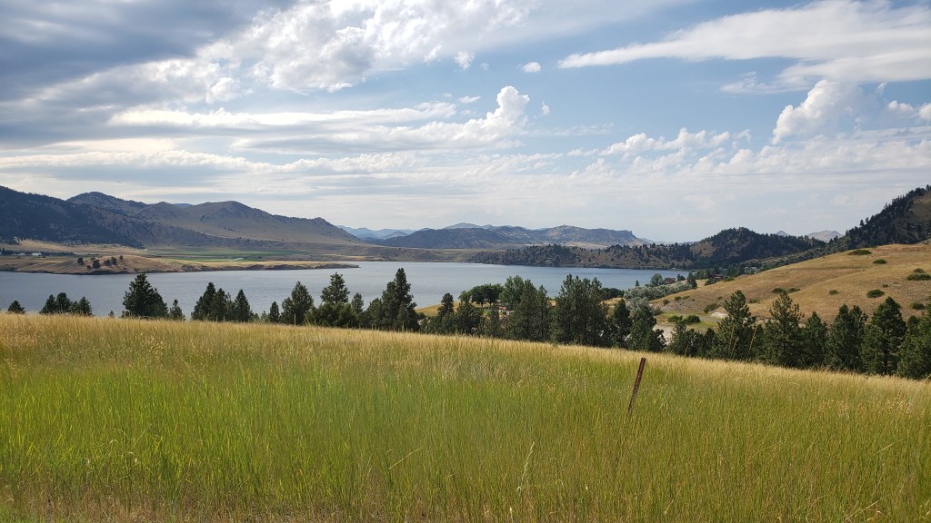
Shortly after lunch we detoured up a big hill and discovered the gorgeous Holter Lake, where locals were fishing, boating, and cooling down in the crystal-clear water. It was a little enclave of easy leisure, and many of the homes there suggested “money.”

Even with a storm rolling past, this was a beautiful find, and very unexpected


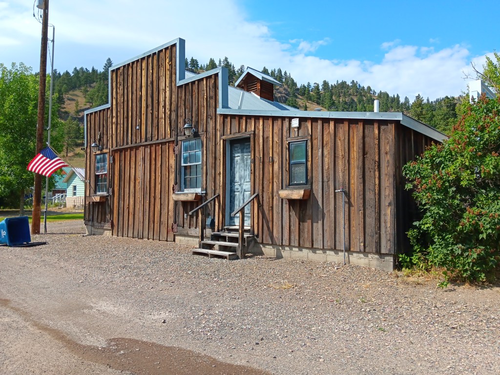
Wolf Creek didn’t suggest money, but we were intrigued by what it would be like to live in a place where the elementary school was, still, a wooden, one-room proposition. It made a nice finale to the drive.  


We spent the rest of the evening getting ready to move again, and to leave Montana behind. We had two more nights in the state ahead of our return to Wyoming, having discovered a campground in a “living ghost town” that, frankly, we both felt required exploration.

The Glory Of Going-To-The -Sun Road

There isn’t really any way you can follow-up the magnificence of Yellowstone, but we were hopeful Glacier National Park would be the next best thing as we headed north back into Montana again.

We were already aware the only entry to the park between 6am and 3pm was by the National Parks Service’s reservation system, which had defeated us for months, but we had a back-up plan – Simon would try for a Red Bus tour on the fabled Going-to-the-Sun Road and Susan wouldn’t. After her nerve-shredding experience in the passenger seat in Nippy going over the 8,878ft Dunraven Pass in Yellowstone, she was more than happy to sit out anything that offered the prospect of mountain-edge driving.

We had snagged a four-night reservation at the Lake Five RV Resort well in advance, knowing how popular Glacier NP is these days, so we were right on the doorstep of the park’s west entrance (and there are only really two ways to see Glacier, from the east or west roads).

The view from the back of our spot at Lake Five RV Resort, with Glacier NP in the distance

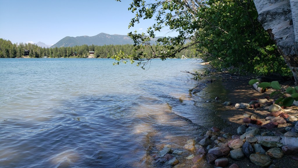
The park was beautifully situated and we were able to get set up and then visit Glacier NP’s visitor center, taking the (short) scenic drive along Camas Road, and spending time in the delightful Apgar Visitor Center and Village, which is the heart of the park’s western side.

Just a week out from our arrival, we were able to snag a seat for Simon on the Xanterra Red Bus Tour from Apgar Visitor Center to the Logan Pass – the passage from west to east across the stunning Lewis range of the Rocky Mountains – but we were going to have to wing it for the rest of our four-day stay.

What we hadn’t counted on was the fact that there really isn’t a lot to do and see outside the West entrance to the park. There are no other major scenic drives beyond the park’s boundaries – other than the hilly, winding drive in from the town of Browning, which showcases the southern edge of the Lewis range and which we had already seen in reaching West Glacier.

One of the, ahem, highlights of the West Glacier area

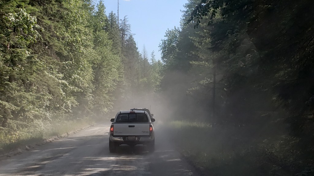
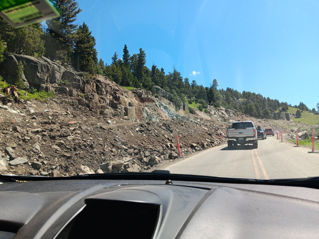
There was also major reconstruction under way of the 10-mile stretch of road along Lake McDonald from the Visitor Center to the lower end of Going-to-the-Sun Road. Not only had the usual paved road been ripped up for replacement, leaving a crude, pitted dirt track in its place, the construction crew also seemed to have abandoned any attempt to keep down the clouds of dust in the afternoon, making it 10 miles of driving torture, especially with a low-slung car like Nippy.

To put it mildly, this was a shocking state of affairs for any park, let alone one of the NPS showcase parks, and to say it was inhibiting was a major understatement. We abandoned the road at the Lake McDonald Lodge, and limped back to the Visitor Center.

The rutted dust bowl of the “road” alongside Lake McDonald with its ongoing reconstruction

This left Simon’s trip on Going-to-the-Sun Road as our lone highlight of the visit. It turned out to be a pretty memorable highlight.

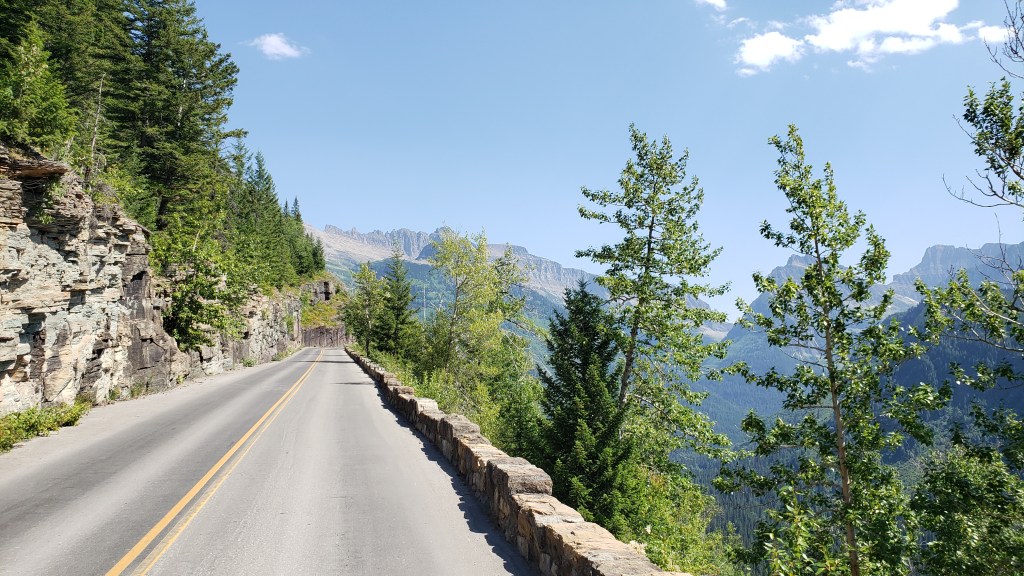
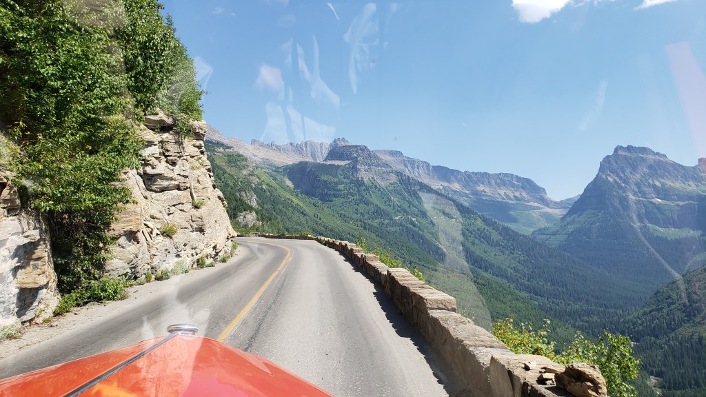
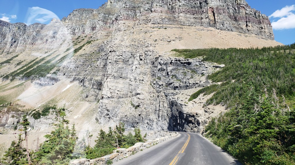
Now, GTTS Road is aptly named, albeit it isn’t quite what you think. It is actually named for the 9,647ft Going-to-the-Sun Mountain, the sacred peak of the Blackfeet Indians, and the rather tortuous translation of their word for it is actually “The-Face-of-Sour-Spirit-Who-Went-Back-to-The-Sun-After-His-Work-Was-Done Mountain.” More aptly, for first-time visitors to the road, it merely feels like you are going to the sun, such is the precarious nature of the precipitous passage up to the 6,646ft mountain pass.

The road dates back to 1932, when it was opened after an 11-year construction process that cost the lives of three workers (how it wasn’t any more is one of the minor miracles of the project). It wasn’t fully paved until 1956, and is one of the hardest routes in America to reopen after each winter, such is the nature of its extreme inaccessibility. Put simply, this road is scratched into the side of a near-vertical mountain wall with all the seeming permanence of an Etch-a-Sketch. How the engineers conceived it, let alone built it, absolutely boggles the mind.

A viable road or an unfeasible creation of an over-worked engineering mind? You decide…

But there it is – the only way to cross Glacier NP, on a winding, sketchy, winter-worn stretch of “road” that wouldn’t earn that designation in any other place on Earth.

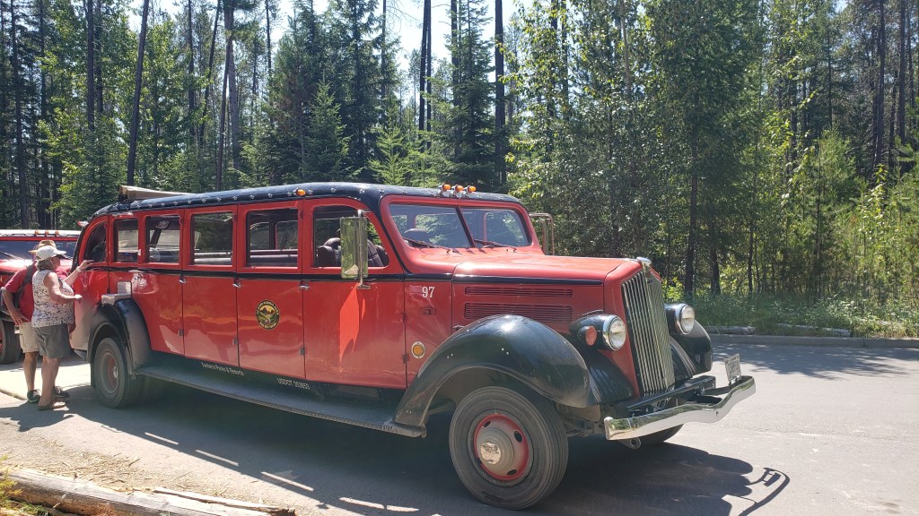
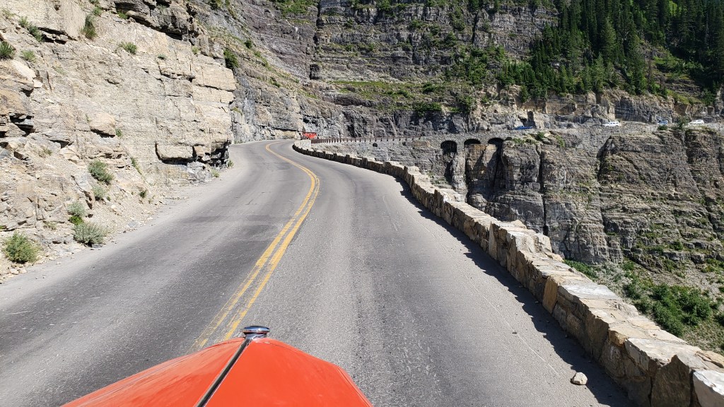
Oh, and the iconic Red Bus vehicles – nicknamed the Rubies of the Rockies – that take you there (and back), are almost 90 years old. Really. OK, so they have been modified with modern engines, transmissions, and braking systems, but the basic vehicle was introduced in 1935 and each has chalked up around 200,000 miles since then.

The maximum length for all private vehicles is 21ft. The Red Buses are 25ft long. Yup. Go figure.

So, the basic equation is:

Rickety Road + Outrageous Drop + 90-Year-Old Over-Long Vehicle – New Engine = A Hair-Raising Experience for All Concerned (especially Susan waiting back at the Visitor Center, praying for my safe return).

(It should be added, however, that each vehicle has a 100 percent safety record throughout all those years and miles, and each driver is a specialist)

One of the original Red Bus fleet, which made its debut in 1935. Glacier National Park had 35 of the original 500 that were made for the NPS, and 33 are still in service

The journey from the Visitor Center to Logan Pass, and back, takes almost 3.5 hours. It reaches a top speed of a daring 45mph, and just 20mph on the seriously scary bits. Two red buses can pass each other on that cliff-edge monstrosity. With about six inches to spare. So, absolutely no worries for the passengers, especially Simon in the front seat next to the driver, with the grandstand view 3,300ft straight down the mountainside.

The first part of the journey is pretty gentle, through impressive cedar forest, alongside Avalanche Creek (nothing inhibiting in that name, either) and past several suitably scenic picnic areas. Then it reaches The Loop.

The full magnificence of Going To The Sun Road

This is the most critical feature of the entire Road, the only serious hairpin bend on the whole, implausible 50-mile route. It is the engineering pivot that allows the roadway to cling to its precipitous perch and provide access all the way to Logan Pass, which adds a resounding wide alpine plateau for a sizeable visitor center of its own, plus a variety of hiking trails which vary from gentle to “You’ve Got To Be Joking” (the latter for the Highline Trail, which is barely 4ft wide in parts and equally precarious, especially when you hear that the wildlife has right of way, and can include both bighorn sheep and black bears. Any takers…?).

That’s the Highline Trail, in that frail line30 yards above the road

But – and this is a seriously substantial adverb – none of that even begins to describe the utter, stonking majesty of this drive. The solidity of the buses, the assurance of the drivers, and the ability Simon has to be blissfully ignorant about the likely terminal nature of any vehicular mishaps make this a journey of total superlatives.

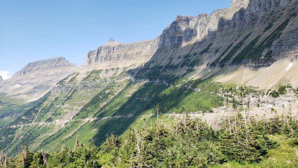
On each side, the mountain ranges seemingly reach up to levels normally reserved for stratospheric aircraft, including the heart-stopping Garden Wall that towers to 9,553ft and is the main conduit for GTTS Road, as well as the demarcation line for the Continental Divide. That’s right, this is where the North American continent is basically split into East and West, albeit that is primarily a geological term and not a regional designation, seeing as Montana is about as Wild West as it gets.

The stunning extent of the Garden Wall – and the Going-to-the-Sun Road crawling along it

The mountains are studded with breathtaking waterfalls at regular intervals, along with various overlooks to allow drivers to get out and confirm that, yes, that really IS a bugger of a long way down, and “Don’t look now Ethel, but the car brakes are over-heating.”

Seriously, driving these buses up there is something approaching an art form, and sometimes you’re not sure whether to gape at the mountain scenery or the driver’s nonchalant style as they narrate the full story of the Road and everything connected with it.

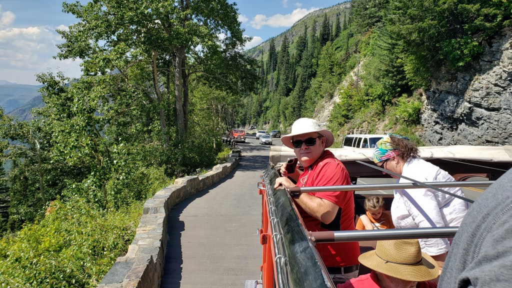
And that’s it. We comfortably made it there and back, our open-top vehicle providing the best possible viewpoint of the entire Glacier NP, along with regular stops when, on the command “Prairie Dogs Up!,” our 18 passengers all stood up through the open lattice-work of the bus to take photos and marvel at the increasingly insane drop on one side.

“Prairie dogs up!”

It was an experience of the utmost refinement and beauty, a combination of Evel Knievel and Bob Ross, with a dash of Errol Flynn thrown in for good measure. It called for extreme belief in the person behind the wheel, and a cavalier disregard for normal road safety. And it was totally, utterly, mind-blowingly brilliant.

And I’d do it again in a heartbeat.

Yellowstone’s Final Gift


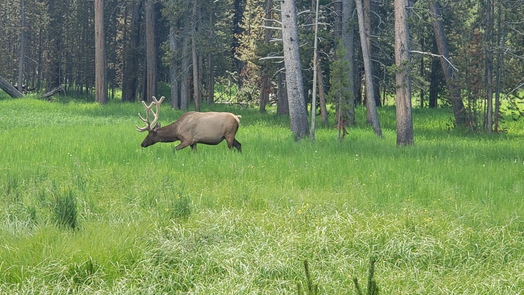
Over the course of two visits to Yellowstone, we’d seen black bears, moose, elk, bison, mule deer, coyote, fox, bighorn sheep, mountain goats, and wolves, with one spectacular sighting in which we watched two wolves chase a young black bear up a tree. What we hadn’t yet seen was a grizzly bear.

Bear-spotting is best at dawn and dusk, but our chances of getting up at 4 or 5 a.m. were zero. We were too tired for that, so our only real possibility of seeing a grizzly was dusk on our final evening. We were visiting at the wrong time of year for the best chance to see one, and it was unrealistic to make the journey to Lamar Valley again for late evening viewing, since the drive back would be more treacherous in the dark. Hayden was our only chance, and this wasn’t Walt Disney World. The wildlife doesn’t care if you leave happy.

Simon asks Ruthie if she’d like a tiny bit of his breakfast. What do you supposed she answered?

As usual, we spent next to no time at our campsite, using it mainly as a place to sleep rather than a destination itself. With so much on our doorstep, this was especially true at Yellowstone, and it was only the first-thing-in-the-morning and last-thing-at-night walks for Ruthie that gave us a view of the campground. Signs everywhere indicate you should be Bear Aware, so we always kept our wits about us during these outings.


The plan was to head down the southern end of the loop road heading for Old Faithful, then circle around and end the day at Hayden. We’d check out some of the little side roads off the loop, and have lunch at Geyser Basin. But the road had other plans.

We’re sure you all remember the terrible damage caused by the historic 2022 flooding in Yellowstone, which washed out several roads and caused the park to close. Recovery has been swift in some places, while others are still undergoing repairs, and such was the case along the loop road near the park’s southern entry from Jackson.

Simon doesn’t love dirt roads, especially with construction, and will avoid them if at all possible. Our decision to turn around at West Thumb and head north, skipping Old Faithful and the geysers (which we’d spent a lot of time enjoying during our previous visit) was solidified when we stopped in at a visitor center and the ranger pointed out the current conditions and long construction delays. He also mentioned we might want to avoid the pass that led to Old Faithful along that route if Dunraven Pass had felt like a soul-destroyer.

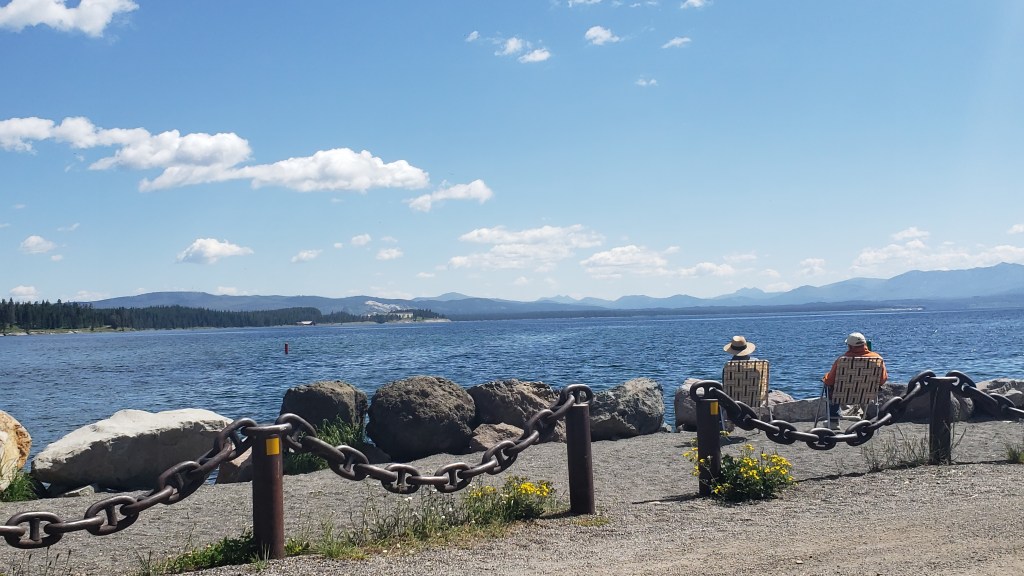
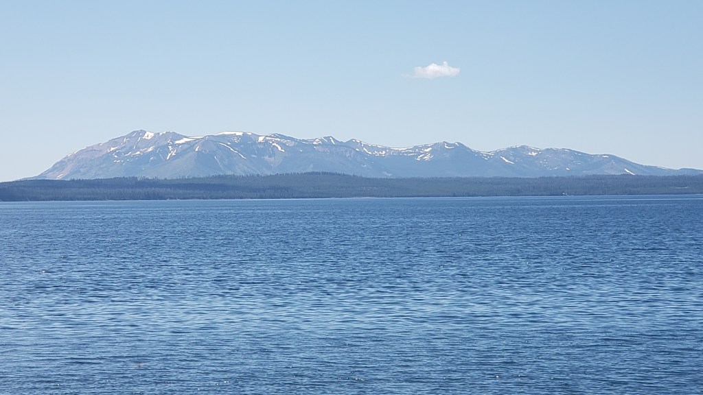
Back to Hayden we headed, with a detour down a side road that led to Yellowstone Lake and a stunning view of the Absaroka mountains beyond the park.


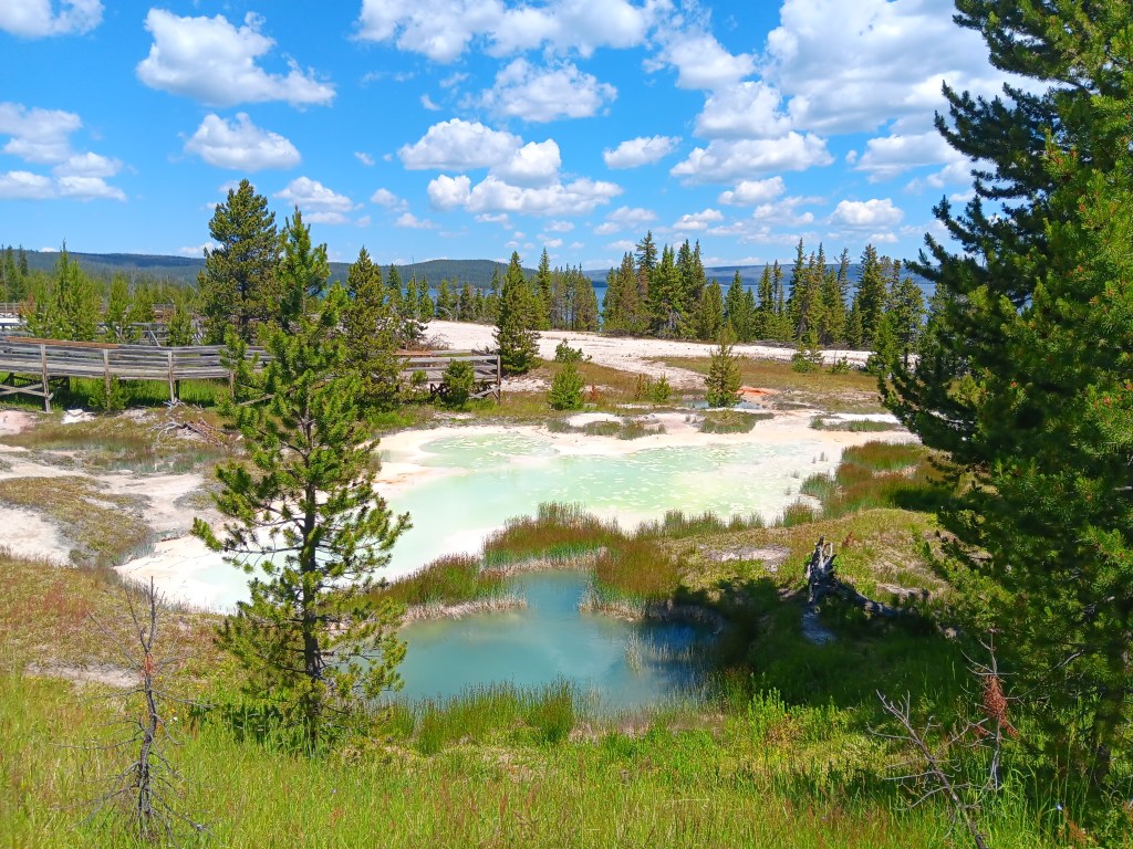
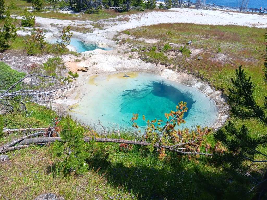
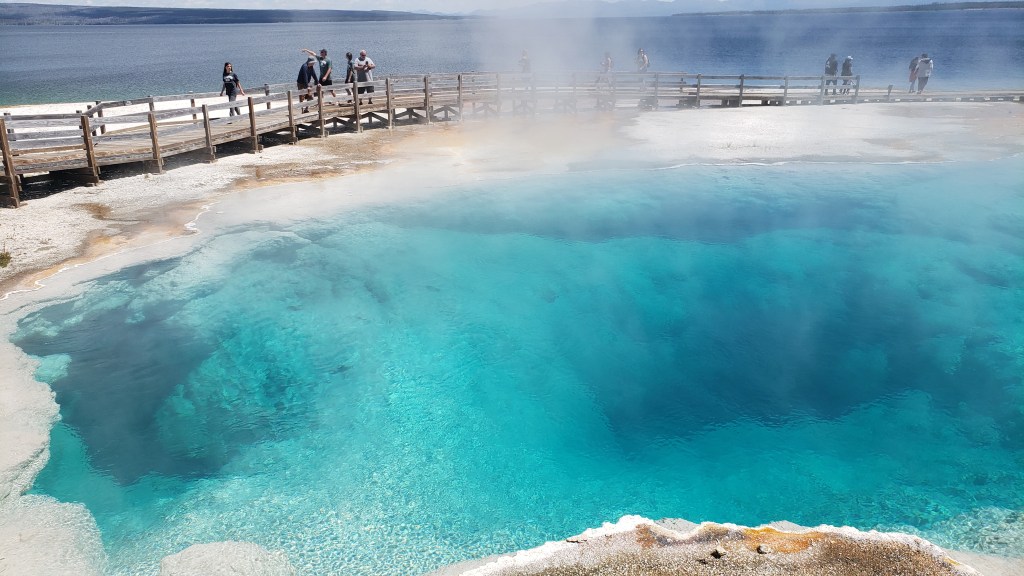
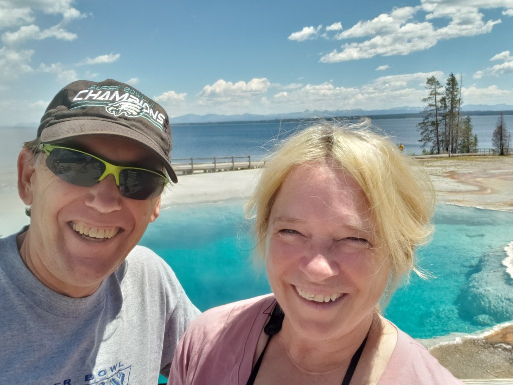
We hadn’t spent any time along the southeastern side of the park the first time we visited Yellowstone, so we were surprised to discover a small thermal basin, which helped make up for skipping Old Faithful.

A ranger was pounding loose nails back into the boardwalk as we walked toward the thermal features, and we stopped to chat with him. Using his four-foot-long nail pounder must work out a lot of aggression, we said, and he admitted he enjoyed thinking of tourists who behaved like idiots every time he hammers one in. Coming from Orlando, we understood the love/hate relationship; we love our visitors and want them to have a fabulous time. We also feel…frustration…at those who leave all their common sense at home.


The boardwalk path gave us up-close views of some of the features, which aren’t quite as dramatic as geyser basin, but were vibrant and interesting in the morning sunlight.


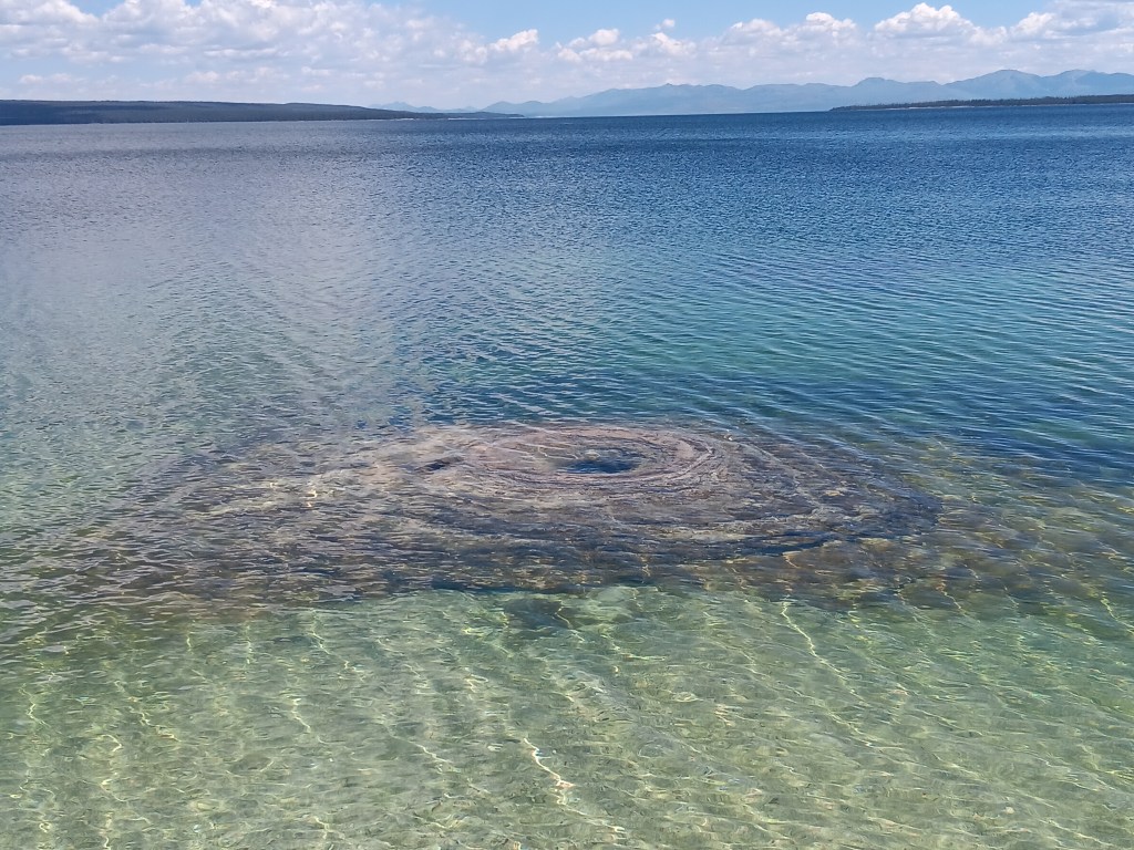
An unusual thermal feature that’s now underwater


We were laughing here because a family asked Susan to take a photo of them, and their camera was turned to “selfie.” Cue the comments later, along the lines of “Who the hell is this?”

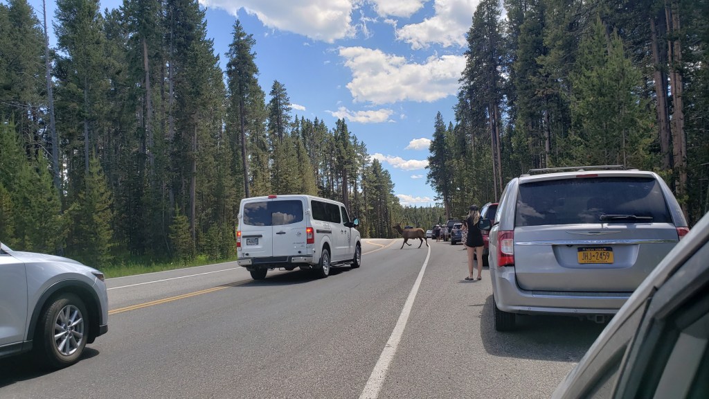
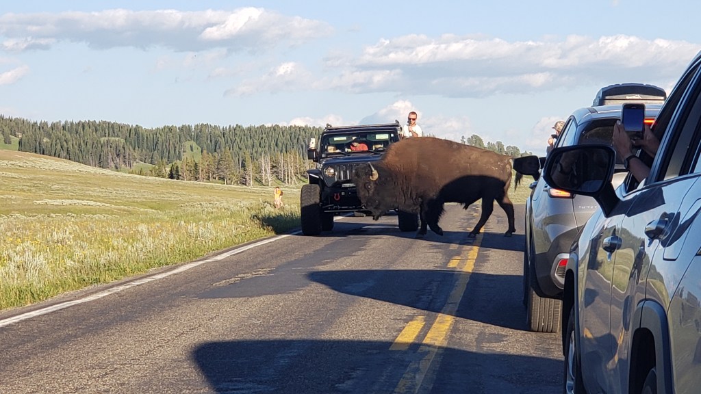
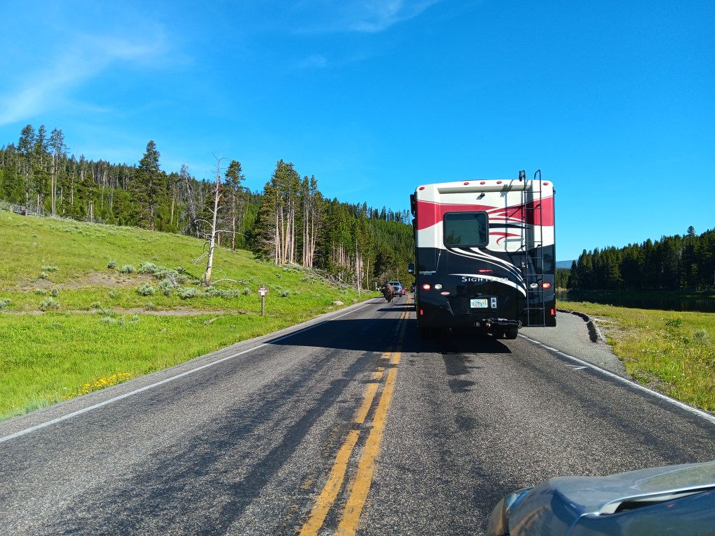
Back on the loop road, we happened upon this mighty fellow, and had him to ourselves for a short time, before the hordes descended, all jumping out of their cars to get the closest selfie they could, in spite of a billion warnings throughout the park to keep your distance from large animals. We often felt we’d have a front-row view of some terrible tragedy…and it would turn out we almost did.


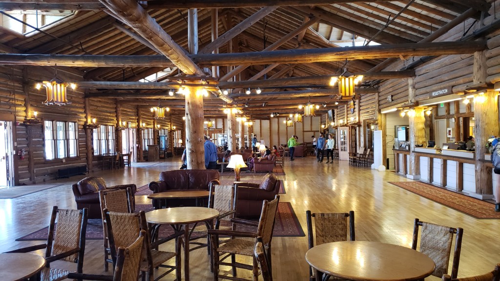
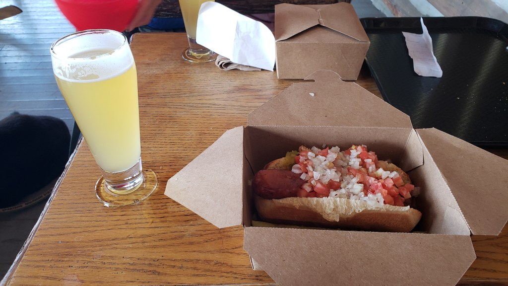
We had a packed lunch, but the lure of a bison bratwurst was too strong for Simon when we paid a visit to Lake Yellowstone Lodge.


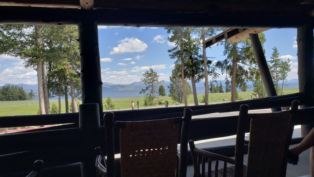
On the way in, we saw three bison in the field between the lodge and the lake, one of which was laying down in the grass and could hardly be seen. We watched them from our lunch spot on the porch, with the mountains in the background.


Sadly, this spot would make the news the next day, when two women were out walking and unexpectedly came upon a bison. While they backed away, the bison charged, and gored one of the women, causing serious injury that necessitated a life-flight to the nearest big-city hospital. We hold her in our thoughts for a quick recovery.

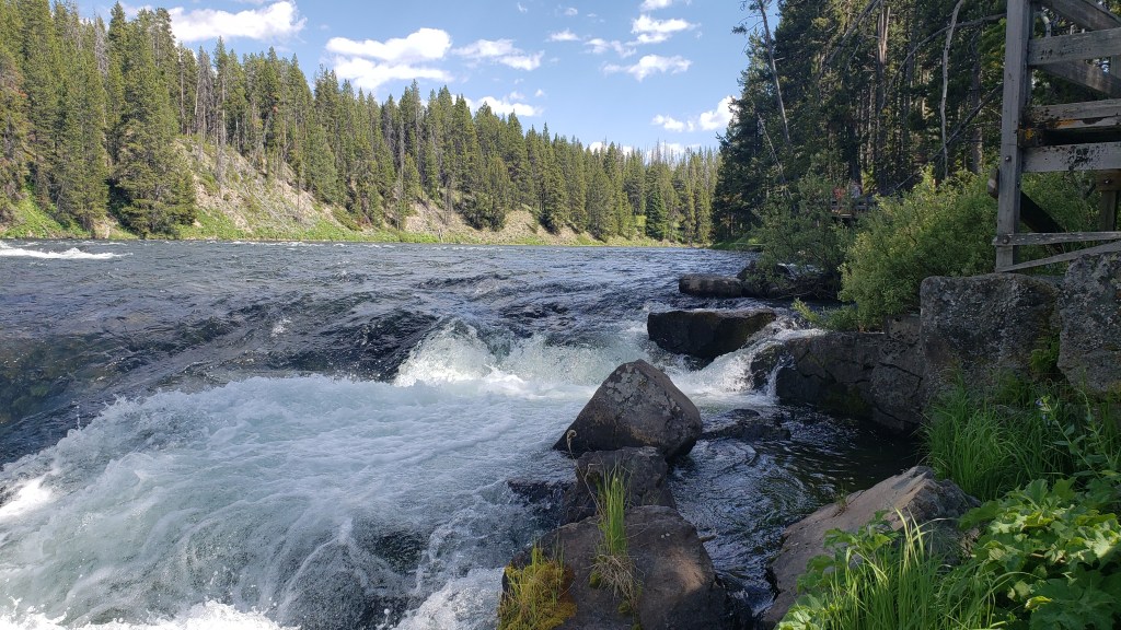
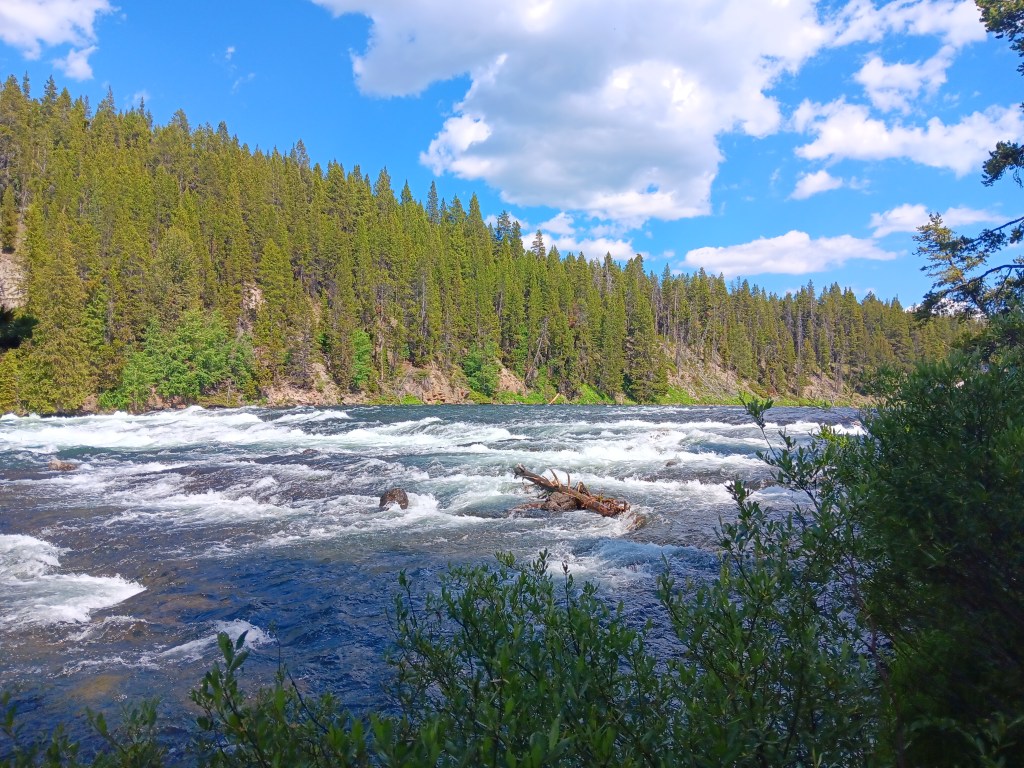
Further along we found a pretty falls, and while Rainbow Trout wasn’t on that day’s Bingo card, we spotted one hovering just along the edge of the falls. Other visitors were tossing dead mayflies to try to tempt it to rise, but it seemed to have had its fill, and just hung out waggling its tail for all to enjoy.


The rainbow trout was in that calm pool to the right of the big rock, but we couldn’t get a photo of it


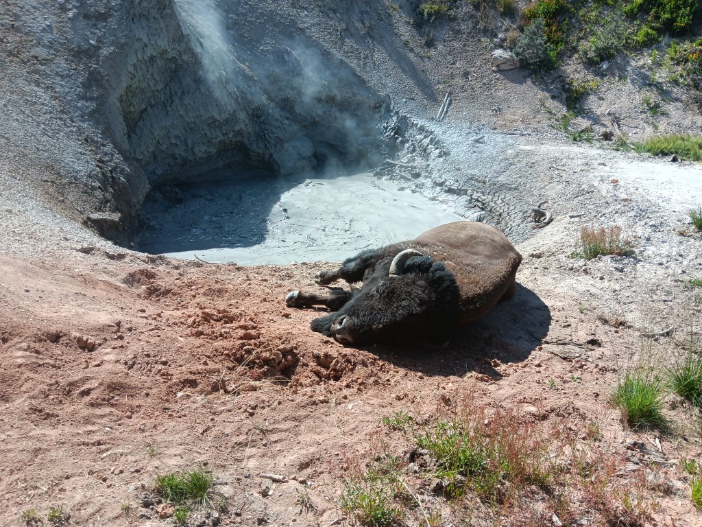
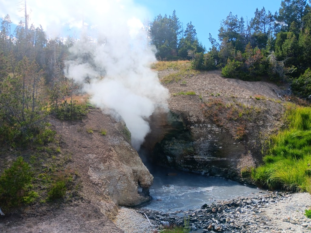
We’d passed Mud Volcano several times over the past two days, and finally stopped in to see what all the fuss was about. Along with two startling – if stinky! – thermal features, we were treated to an unexpected up-close wildlife sighting. A ranger was there, too, making sure no one did anything stupid.


With the temperature up in the high 80s (30+ Celsius), you wouldn’t think a bison wearing a fur coat would want a spa day, but there she was, getting some “me time” next to a boiling hot mud pot.


Just to the right, we could hear the thudding sounds of gasses exploding in the water as it rose through some deep, hidden tunnel in the earth as it reached ground level. This was the mighty Dragon’s Mouth Spring, so named by a visitor to the park in 1912, who thought the resulting sulfurous steam looked like a dragon’s tongue.


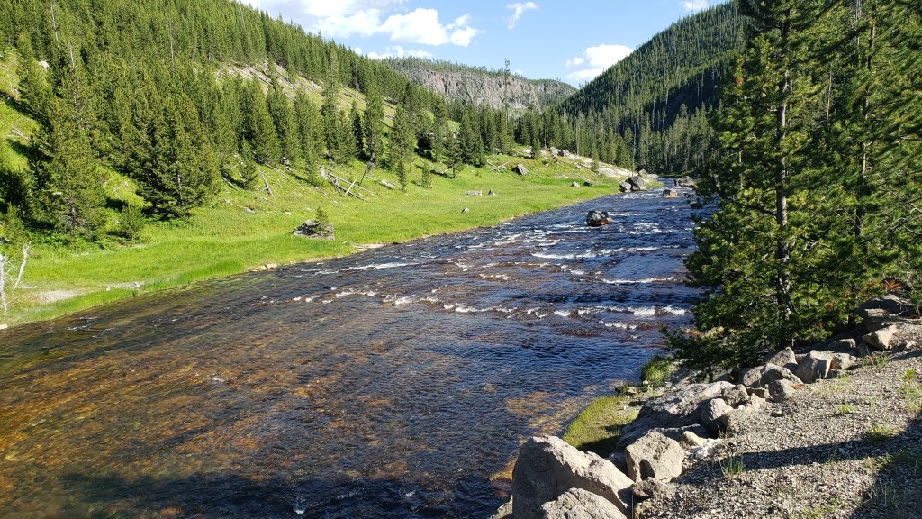
With the slow wander we’d been taking, passing solitary bison and another thermal feature, it was late afternoon by the time we reached Hayden Valley, with the Yellowstone River as our companion most of the way. Perfect timing for our evening wildlife viewing.


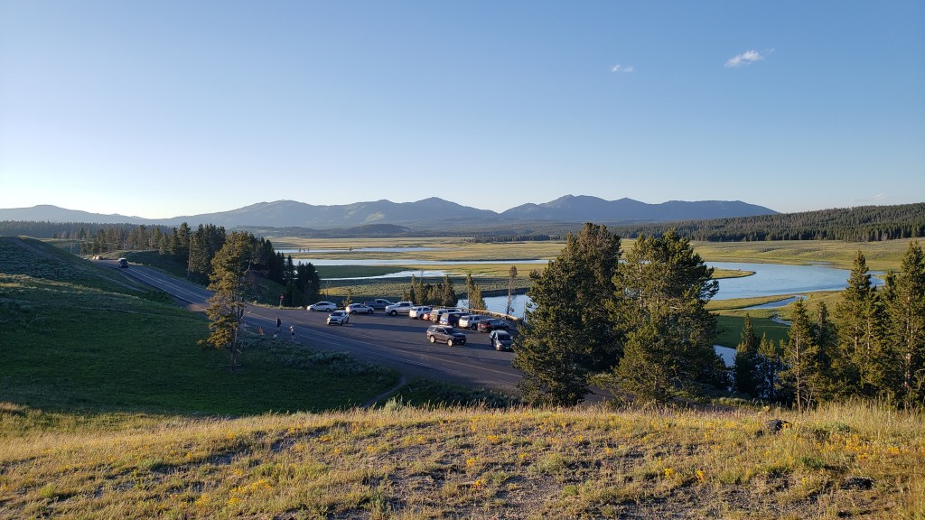
The bison were roaming Hayden when we arrived, so we found a turn-out to stop and watch them while having our packed-lunch for dinner.

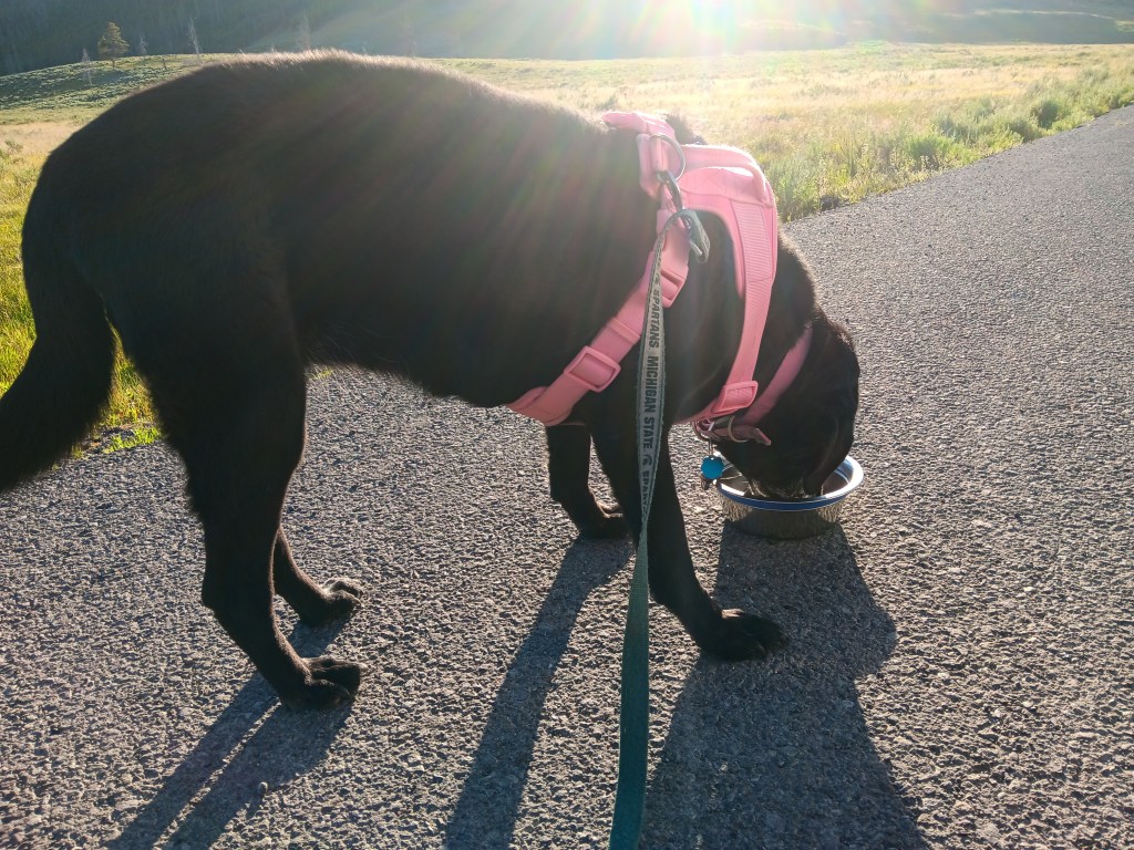
Ruthie had a roadside meal along with us.


We’d grown used to seeing a small crowd gather on a hill on the western side of the road, waiting for sunset over the mountains. But a smaller group on a hill to its left caught our attention, and we made our way up to see what was going on.

A grizzly bear had been spotted further down in the valley, and was heading further into the hills. Probably that mama and her two cubs we’d heard about the night before. But bears are wild, and they don’t choose paths based on good viewing for tourists, so it was likely she wouldn’t be spotted again. We were just too late.


Bears also like familiar stomping grounds, so it was equally possible she’d return to the spot where she’d been sighted an hour ago. We jumped in the car and headed back to lower ground. Sure enough, she was there! At least, she was there before we arrived. We’d just missed her.

Back to the hill again, with such high hopes of seeing her and her babies. After half an hour, everyone still on the hill gave up. It was only because there were a few others coming up the hill that we even stayed, not wanting to be the only prey out there in the open if she did turn up.

And that’s when our luck changed. We both caught sight of a big rock below a dead tree with a raptor perched in it, fairly far in the distance. A smaller rock next to the big rock appeared to be moving, and that’s when we realized it was the mama grizzly, and her two cubs were nearby.

They were much too far away to photograph, but oh, the excitement we felt as we watched them through our binoculars! What unbelievable luck! After a good 10 or 15 joy-filled minutes, she wandered back into the tree line, and our encounter was over.

But Simon’s not one to give up that easily. We returned to the valley where she’d been seen an hour ago, hoping against hope that she’d wander back.

We won’t leave you hanging for as long as we did, and after what seemed like forever, she and her cubs ambled back down the hill. We quickly got out our spotting scope to help make up for the distance, and for the fading light.

The light brown lump to her left is one of the cubs.

We could easily see her and her babies through our binoculars, too, and as a crowd gathered, we all took turns looking through our spotting scope. It was extremely difficult to get a good photo through the scope (and impossible without the scope), so while we took plenty, only a few offer a really clear view. The cubs are in some of them, but you probably can’t quite make them out.


We bid a fond farewell to Yellowstone National Park the next morning, knowing it’s unlikely we’ll ever return, having made the decision to cancel our September reservation at Fishing Bridge due to the challenges of driving that far into the park in Fati. It only served to make our grizzly encounter even more special

Next stop: Glacier National Park!