Filling Our Bellies And Our Hearts In Palm Springs

Photo credit Visit Palm Springs

Simon wanted to see Palm Springs because “it has a reputation as an iconic destination, like Rodeo Drive, Beverly Hills, and Manhattan, and it’s right in the middle of the desert.” Plus, it has a golf course that was featured in Walt Disney World’s former Soarin’ attraction at Epcot.

Susan had been before, in what feels like another lifetime. At that time, the experience was all about wealth and what it could buy. Staying in a home in swanky Rancho Las Palmas in Rancho Mirage, enjoying the finest dining, and having a BMW to drive around in. Would the city tucked into a valley with the San Jacinto Mountains as its backdrop live up to that glittering yesteryear now that self-indulgence was no longer on the menu?

Just 36 miles from the town of Joshua Tree, Palm Springs and our two-night stay at the pet-friendly Inn at Palm Springs was an easy drive. The Inn is a comfy boutique hotel on Palm Canyon Drive, the main artery that connects the north side of town with pretty much everything.
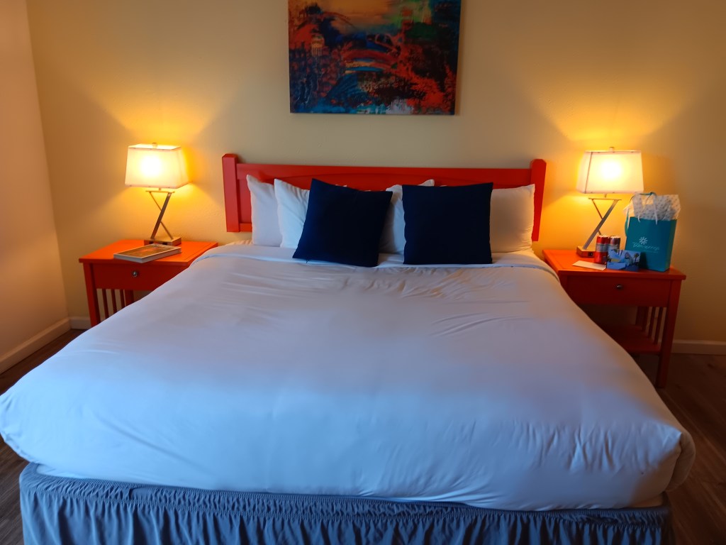
We totally switched off, professionally, during this trip, and didn’t get a photo of the outside of the hotel. Frankly, we didn’t get a photo of a lot of things, which is probably a good sign even if it’s not very helpful for a blog.

But let’s get straight to the food. Real food. Food that makes sense, wasn’t prepared in an Instant Pot or an air fryer, and had so much flavor we almost wept with happiness and appreciation.

Having spent the day in Joshua Tree National Park, we freshened up before heading to Trio for dinner. Their outdoor seating was perfect for bringing Ruthie along, with the added benefit of being right on Palm Canyon Drive so we could enjoy the evening ambiance.

Our kind of outdoor dining!

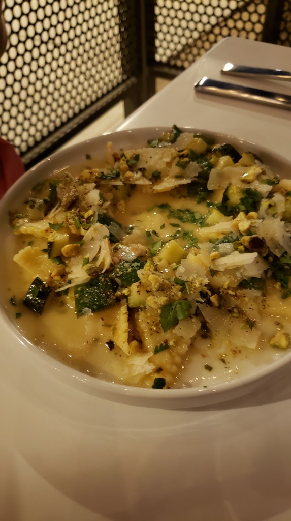
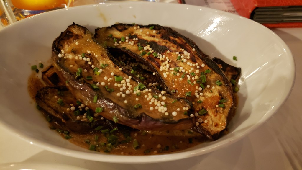
We started with a perky Cucumber Gin Fizz for Susan and vodka-based Triotini for Simon, then moved on to the Sticky Pork Riblets appetizer, light-as-air Triangoli pasta with summery veggies and parmesan cheese for Susan, succulent Scottish Salmon for Simon, and the earthy deliciousness of Japanese Eggplant with White Miso Sauce to share.
(Apologies for the dark photos; it was dim, which is romantic, and we didn’t want to disturb other diners with camera flash.)
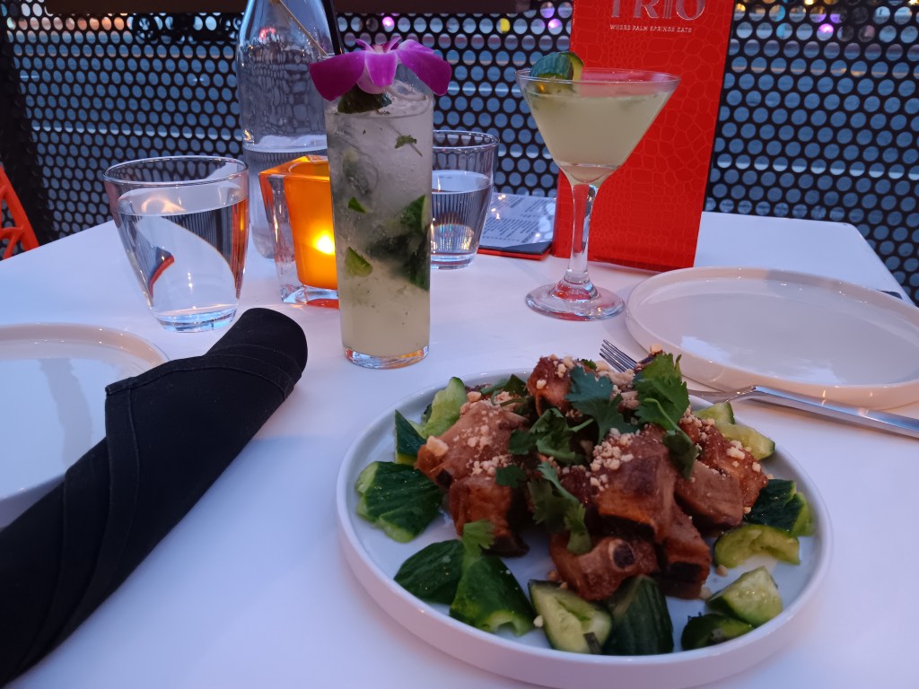
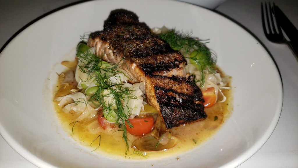
Sticky rib appetizer and luxurious cocktails. Like real adults would have!

How luscious is this?

It is a rare day when Susan orders pasta, but this light, lemony version was a worthwhile exception.

We could have made a meal of the Japanese Eggplant on its own. Delicious!

After a good night’s sleep, we refilled our half-empty stomachs with breakfast at Grand Central Palm Springs, which came highly recommended. Common sense won out over greediness, and we split a Morning BLT (bacon, tomato, baby arugula, poached eggs, and avocado dressing, served open-faced on sourdough, with house potatoes) and a Chocolate Hazelnut croissant, with tea and coffee.
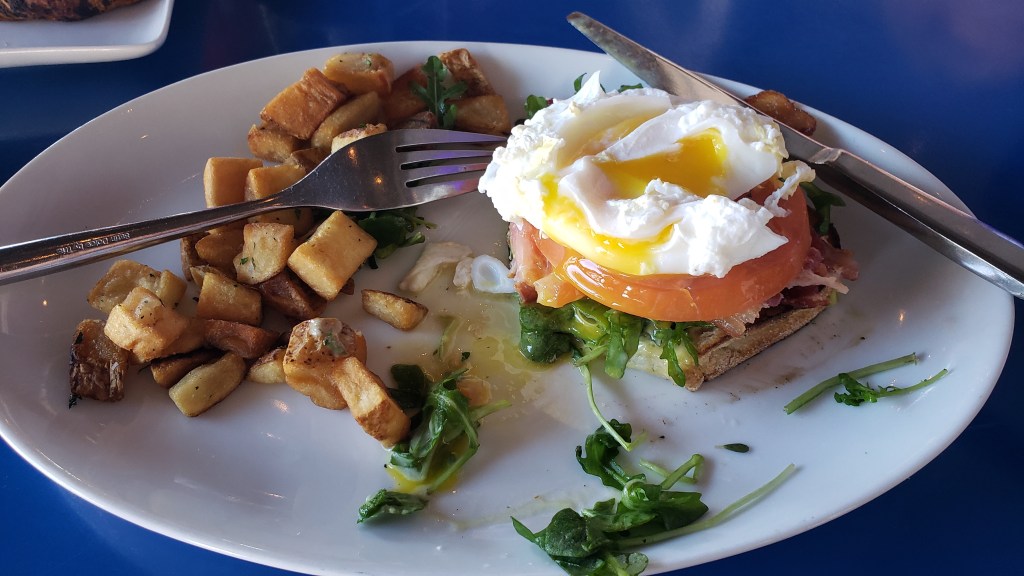
Half of the large Morning BLT.

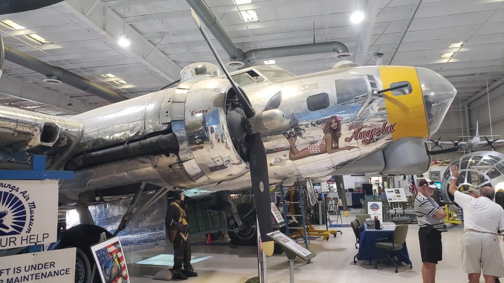
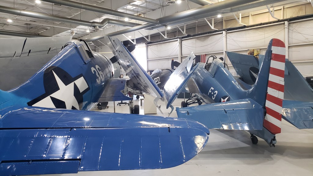
Our visit wasn’t just about eating (although we did a lot of eating!), so after breakfast we poodled over to the Palm Springs Air Museum, one of the city’s major non-golfing/non-eating/non-shopping attractions.
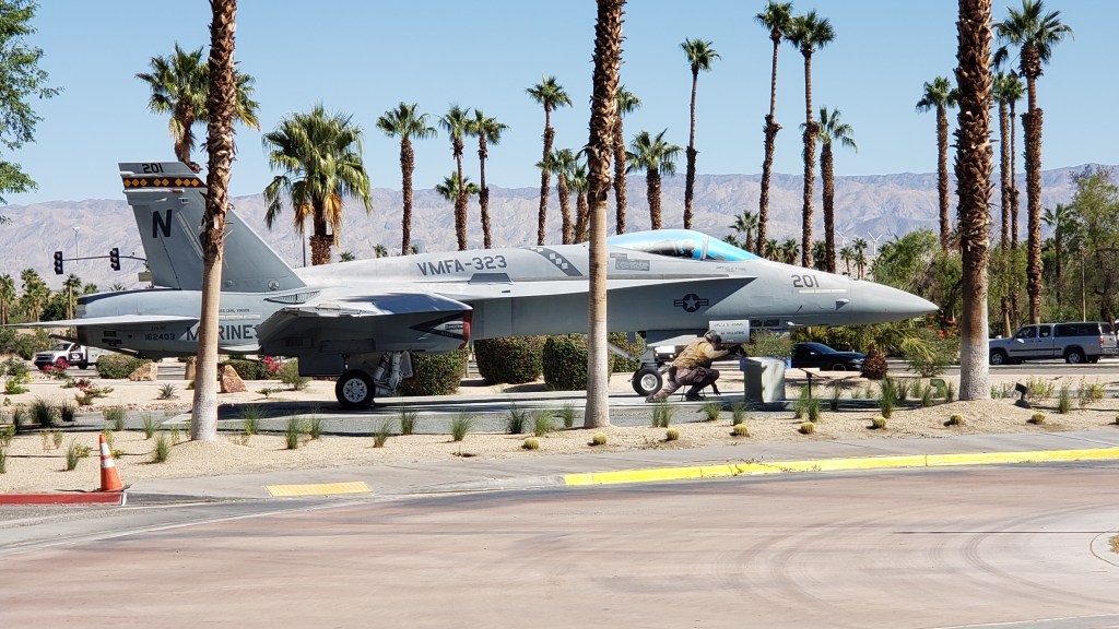

Simon loves this kind of place; Susan thought she’d be bored stiff. But, like the GE Aviation Learning Center in Evandale, Ohio, where jet engines are the stars of the show, something unforgettable happened.

This isn’t the unforgettable thing. Ruthie just loves statues. She thinks this one is trying to hand her a treat.

In Evandale, it was the cute little PR girl who said to Susan, “You’re bored, aren’t you? Well, I’m going to tell you, in just four words, something that will help you remember how every single engine works, and you’ll never forget it. Ready? Suck, squeeze, bang, blow. That’s how engines work.”*
A representation of my reaction. I never did forget how engines work.

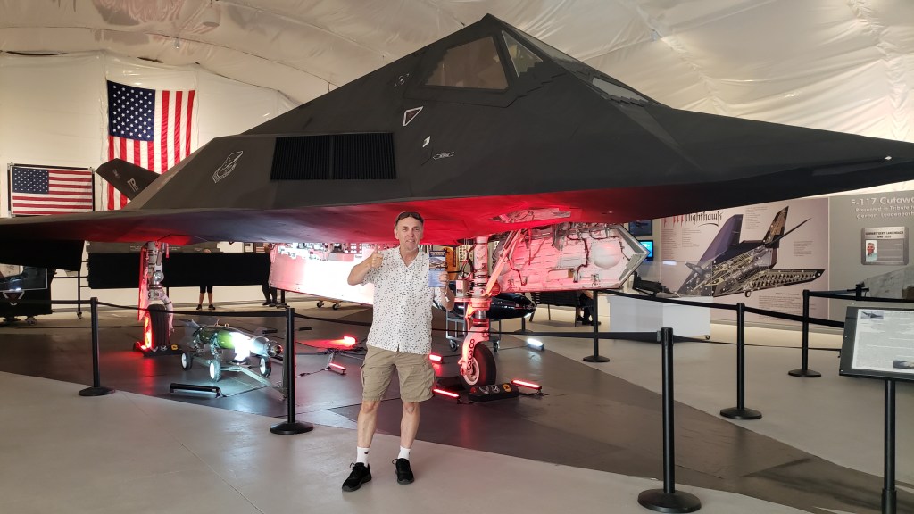
The Air Museum wasn’t nearly as X-rated, but it was no less astonishing. They have an actual Stealth Bomber on display, and while aircraft and war are not Susan’s thing at all, being in its presence was hugely impressive. Discovering how something that big can be “hidden” from radar was truly fascinating.

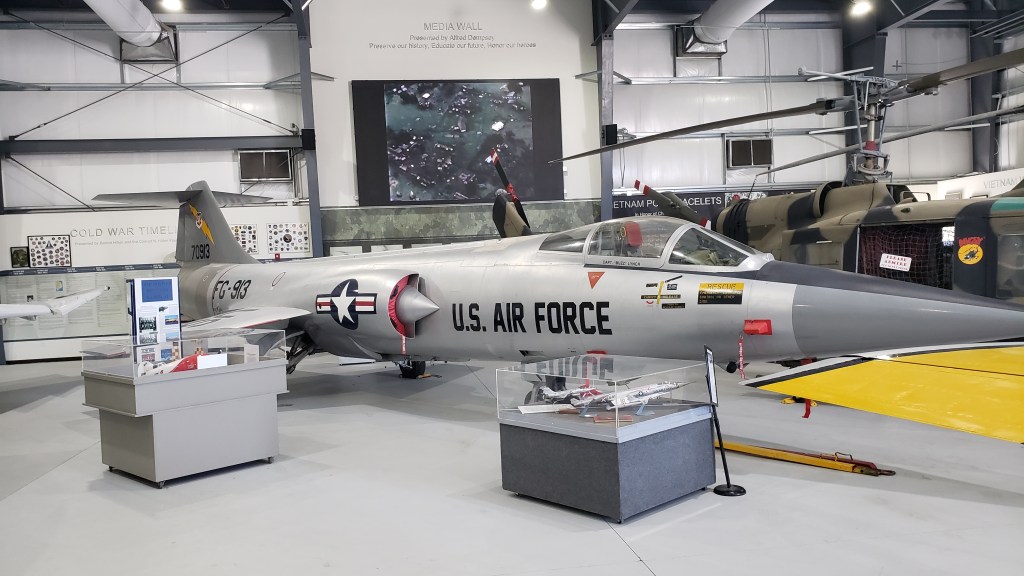
Talking to the docents as we walked through each hanger, arranged by the wars each planes served in, made the whole experience come alive. Many of the docents are veterans, and we spent far more time at the museum than we thought we would because they were so eloquent in sharing their stories, both triumphant and heartrending.
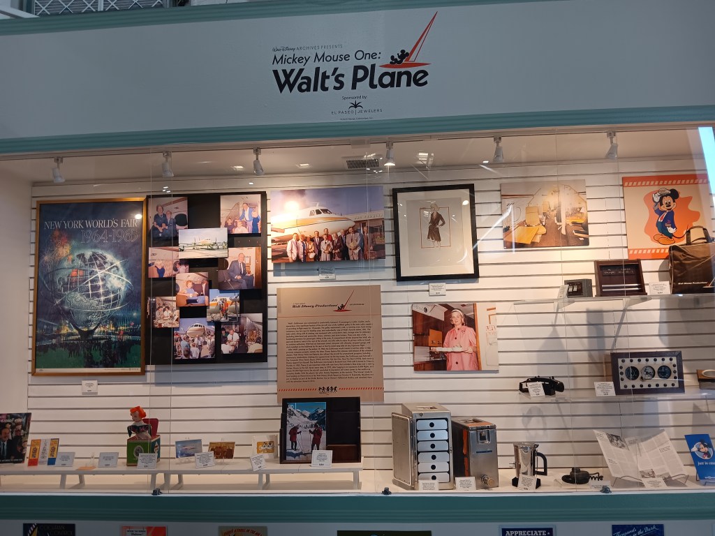
There was even a fabulous tribute to Walt Disney and the Disney Company’s role in WWII. It’s far more extensive than this one photo.

All that patriotic fervor was thirsty work, so we made a stop at Shields Date Garden for sustenance. From the moment Palm Springs became a possibility for our trip, Susan had insisted Simon had to try a Date Shake. He needed no second urging, and was rewarded with a 21-ounce cup of culinary delight that starts with a subtle mocha flavor, although there is no mocha in it, then evolves into a deep, rich date flavor, with just a pleasing hint of grit from the dates’ rough skin.
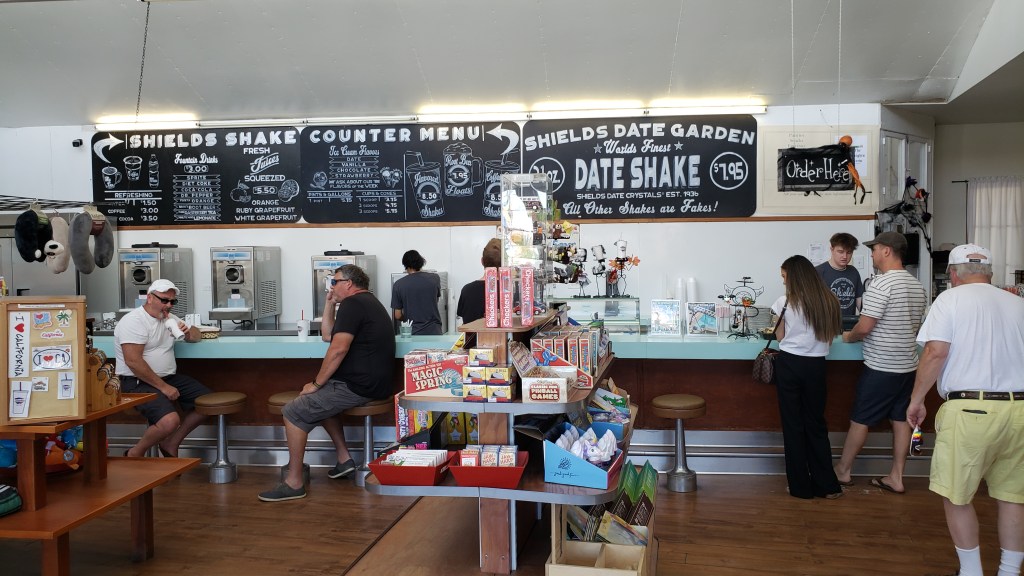

Simon’s first Date Shake.
Click on photo for video

The day was hot, so a visit to the cool breezes of the Salton Sea were in order as we brought our internal temperature down with our Date Shakes. It was a 120-mile journey, round trip, but we had no real plans and it’s an iconic part of the desert experience.

Susan remembered it as a place that absolutely reeked of dead fish, but that was 40 years ago. Things change, and by this time all the inland sea’s fish were probably long gone.

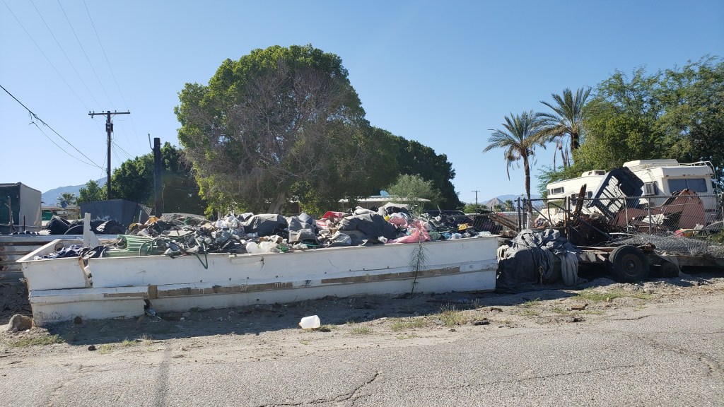
That part was true. If there were any fish left, we never saw them. What we did see was desolation, and a lot of Border Patrol cars. Once upon a time, the landlocked salty sea was an oasis that drew tourists from far and wide. Now, it’s a dying lake riddled with heavy metals, agricultural toxins, pesticides, and no cooling breezes. The small communities around it are dying, too.

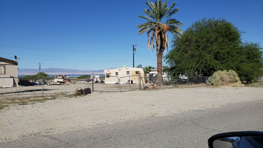
This was as close as we could get.

Salton Sea City wasn’t looking its best.

Those who remain here deserve to have basic services. We wondered what had happened.

Like Utah’s Great Salt Lake, Salton Sea is drying up. It’s a sobering reminder of what’s happening with the climate, and a warning bell that rings loudly when you’re standing shoreside.

Dinner outdoors at LuLu California Bistro that evening helped restore our mood. Simon ordered a Santa Fe Panini (the California version of a Cuban Sandwich) and Susan had the lettuce wrap appetizer, with a beer each to adjust our attitudes quickly.
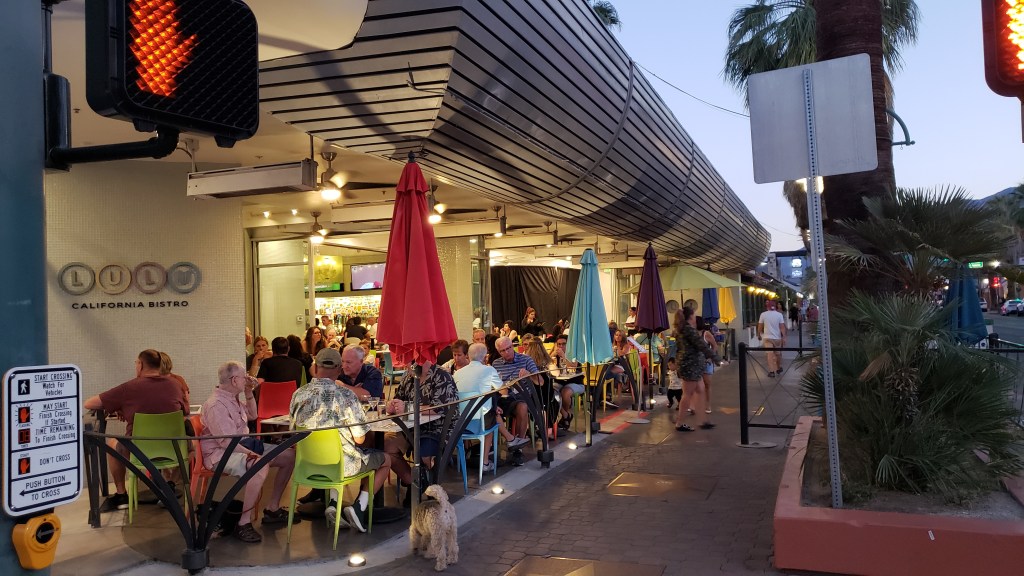
If there’s one thing that isn’t in short supply, it’s great food.


On the way back to our hotel, we were on the lookout for Bob Hope’s house, high on a hill overlooking the city, which made a huge impression on Susan during her first visit, for it’s astounding roofline architecture that curves gracefully downward, practically covering the 24,000-square-foot residence within. (Click HERE for an insightful story—with interior photos! – about this building, describing its restoration and why its famous architect felt the original project was an “ugly, tough job.”)

We also detoured into an area called The Movie Colony, where many famous people live or lived, including Frank Sinatra, Leonardo DeCaprio, Marilyn Monroe, Cary Grant, the Kardashians, and a list of other celebrities as long as your arm.
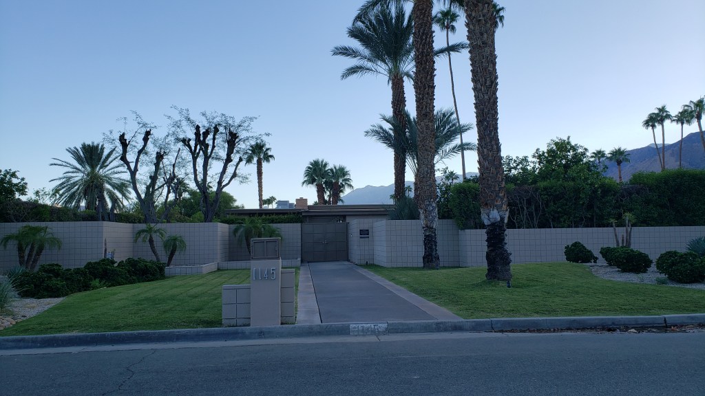
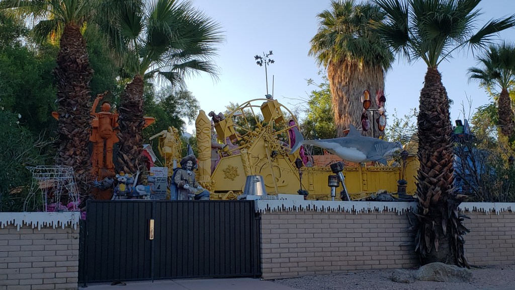
The houses are all low-rise and tucked away behind walls, fences, and/or high bushes. This was once Frank Sinatra’s house.

This is the home of an artist, and the entire yard is full of metal sculptures he’s made.

But it was the next day’s adventure that would prove to be the ultimate highlight of a trip that had many highlights. Simon had arranged to meet up with his childhood tennis buddy, Juan Carlos, during their time living in Botswana in the 1970s. They hadn’t seen each other in 48 years, but Simon still has a photo of the two of them, taken after the 1974 Botswana Boys Singles Final, which Juan Carlos won in three sets.


And what a reunion it was. Juan Carlos was accompanied by his lovely lady, Adrianna, and over the course of two hours, lively conversation closed the gap on those 48 years. Upon parting, the two recreated Simon’s photo from long ago, and we were left with the promise of a place to stay should we find ourselves in San Diego, while they have a room waiting for them if they visit Orlando.
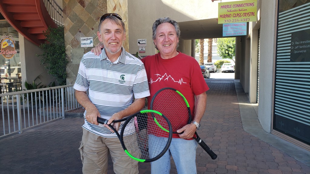

Did our detour into Palm Springs live up to that opulent, cash-fueled visit all those years ago? It exceeded it by far, because this time it was all about the joy of being together, the simplicity of a full belly, and the bond of friendship that lasts a lifetime. Priceless.

*For those who also wish to never forget how engines work, they Suck fuel and air in, they Squeeze it down tight, it creates a big Bang as it burns, and finally it will Blow exhaust out. You’re welcome!
Staying Alive In Joshua Tree National Park


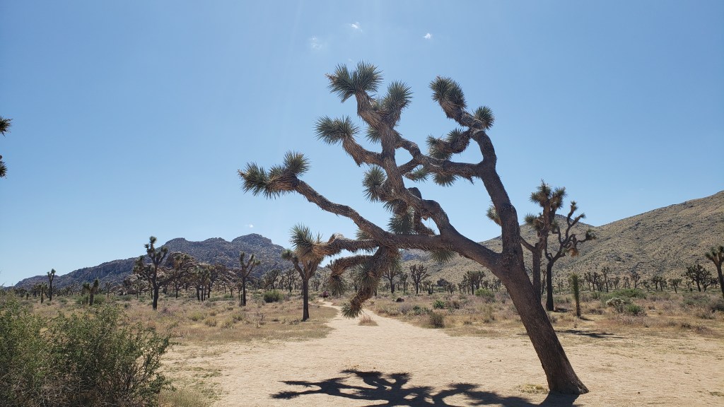
Signs pleading “Do Not Die Today” served as a grim introduction to Joshua Tree National Park, but, like most visitors, we made a mental note to avoid death and joyfully headed into the desert where succulents beseeching God and the un-huggable “Teddybear” cactus both live.

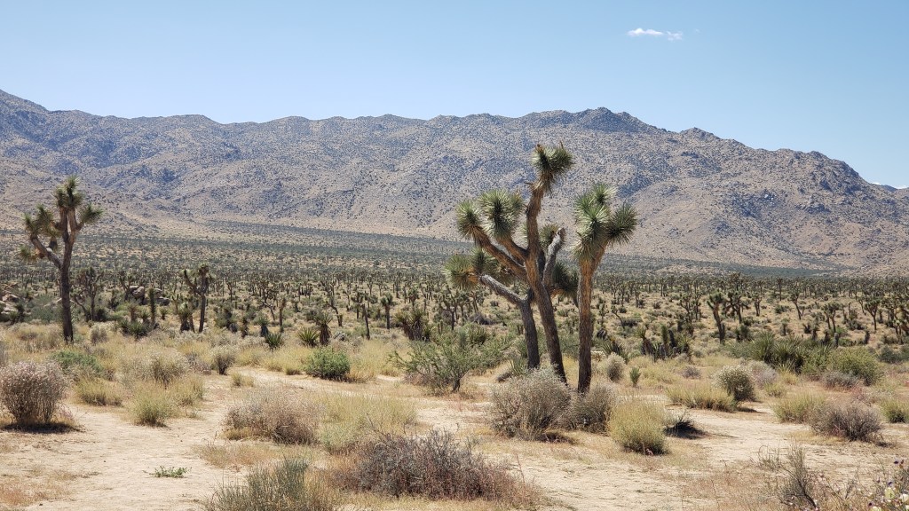
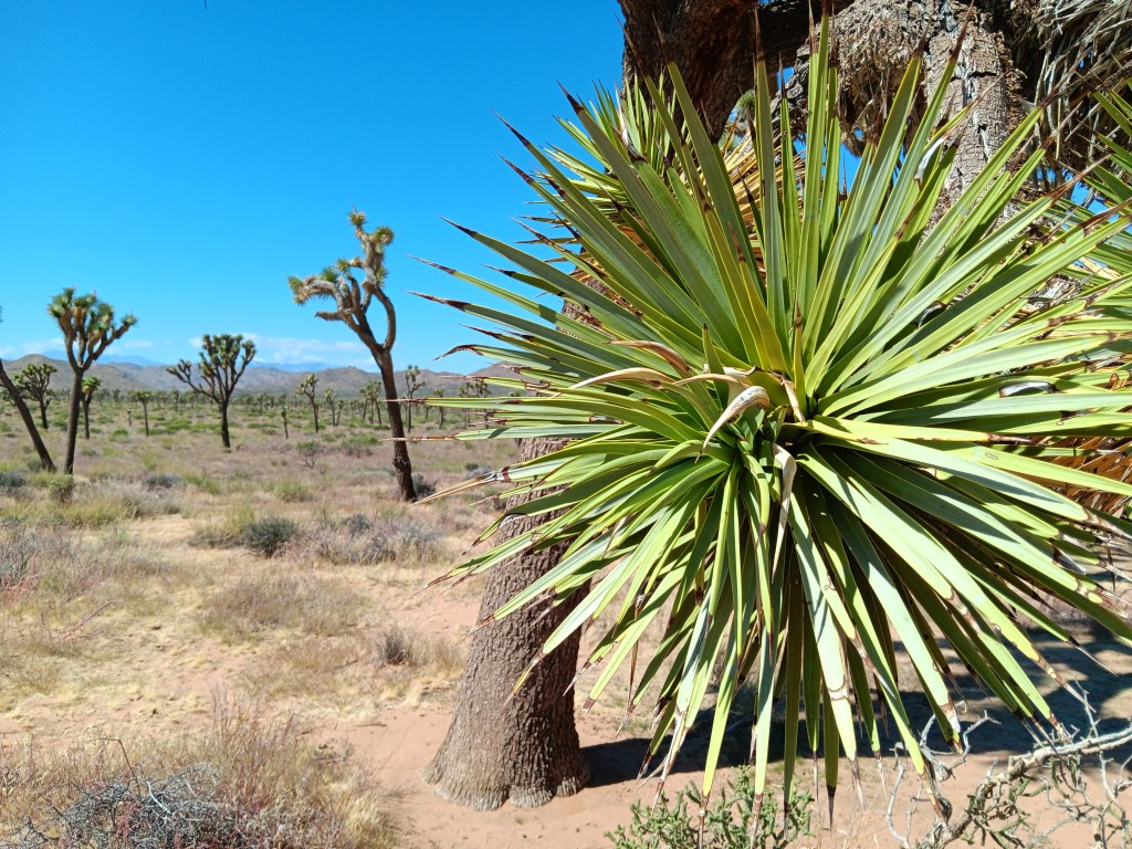
Joshua Tree National Park’s star attractions – named by 19th-century Mormon settlers who decided they looked like the Old Testament’s tribal leader, Joshua, with his arms raised toward his Heavenly Father – aren’t trees. They’re a type of Agave, the genus responsible for tequila, which, when imbibed in quantity, can also make you see God.

Other agave.

Joshua Tree National Park contains the greatest number of its namesake specimens in the world, and their importance to the ecosystem has earned them well-deserved protection by law. Visitors are allowed to walk the sandy trails between the plants, and a quick touch of their spiky appendages is all the incentive needed to leave them alone.


Having driven in via the West Entrance (located on the north side of the park), we had at least two hours of good scenic driving, with plenty of stops to enjoy each elevations’ unique topography.

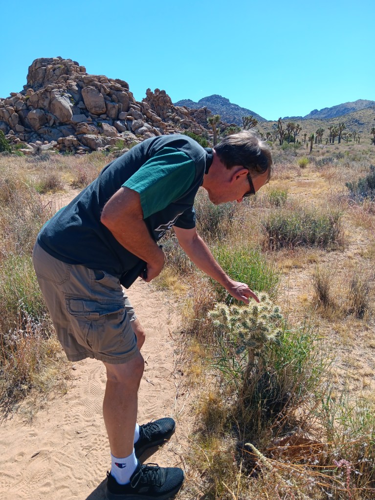
Every time I turned around he was poking his finger on a plant.


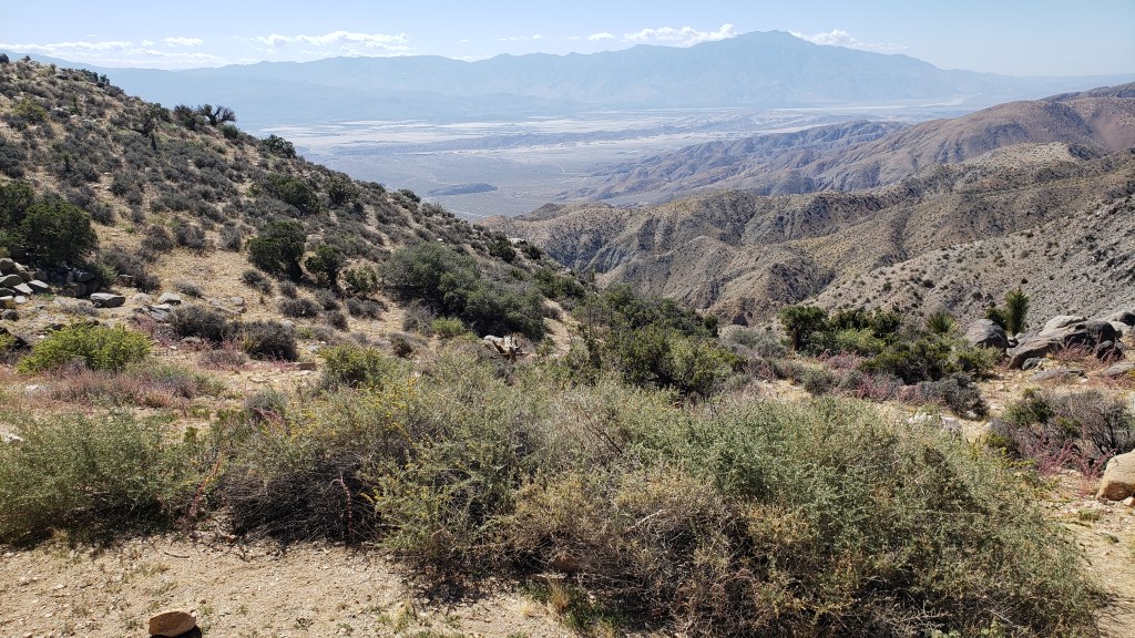
Among the highlights were an unexpected view of Palm Springs (our next destination) from the 5,185-foot-high Keys View overlooking the Coachella Valley, and the shocking realization we were also looking at the infamous 750-mile-long San Andreas Fault Line, an unsettling uprising where the Pacific and North American tectonic plates collide, with dramatic results (earthquakes).

The long, thin, dark mound stretching across the valley just below the furthest mountain range is the San Andreas Fault Line. Who knew?

Also visible from Keys View are the Salton Sea, which we’d visit the next day, Signal Mountains on the U.S./Mexico border, and Mount San Jacinto, rising 10,831 feet above the valley.

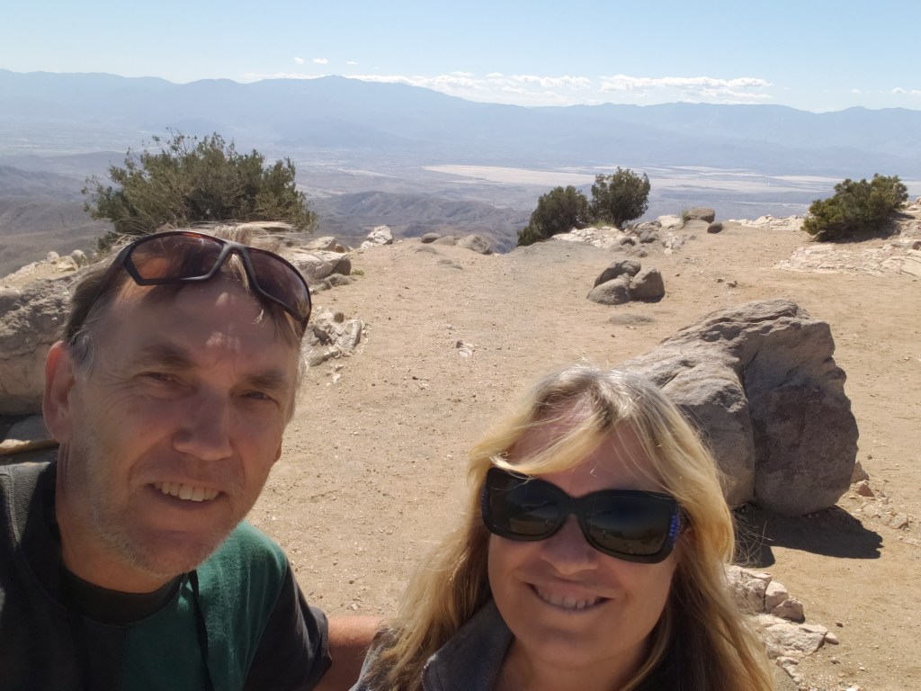
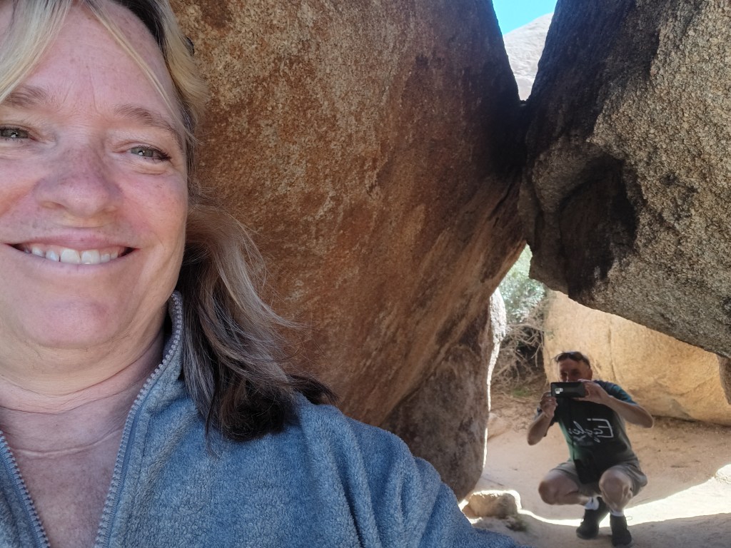
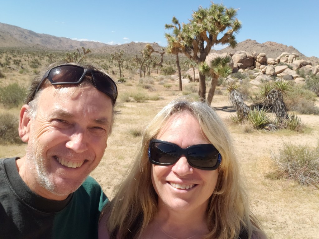
Obligatory Selfie.

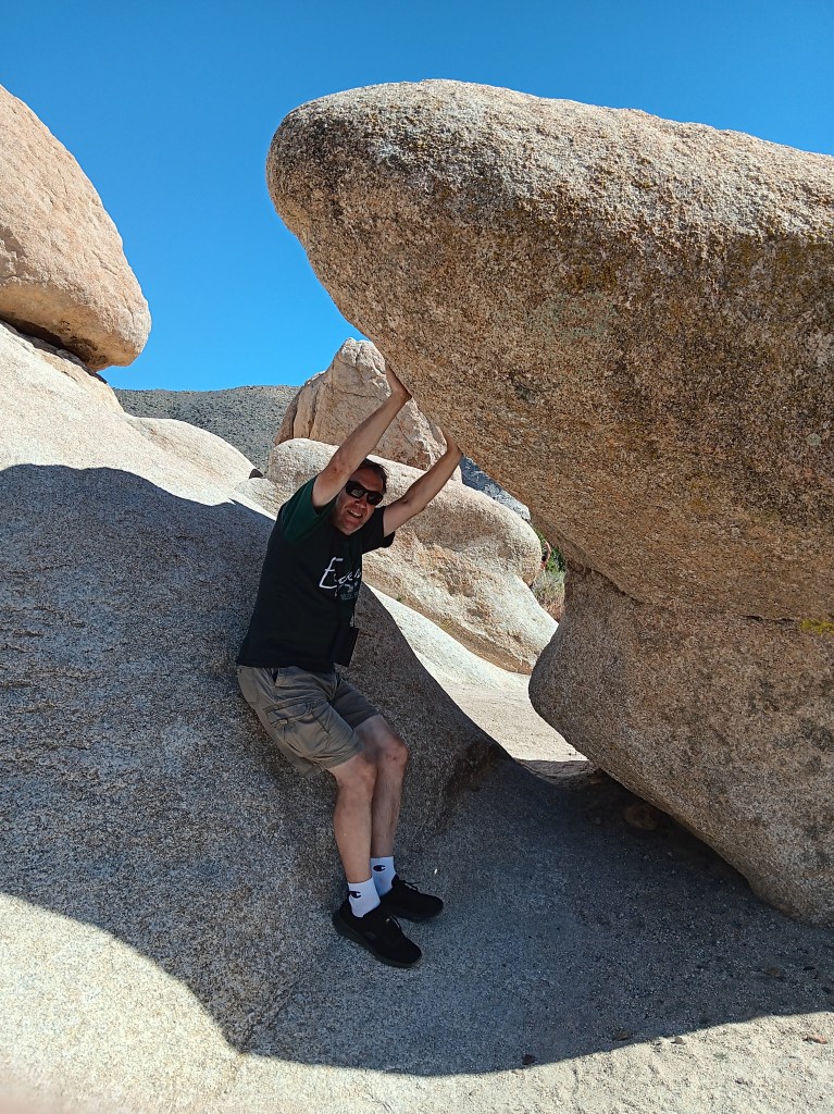
Returning to a lower elevation, we paid a visit to Hall of Horrors and its freaky rock mounds before taking a detour south to Cholla Cactus Garden.

How artsy are we!
Some shots look so real in your mind, but maybe not quite as real when you take them,

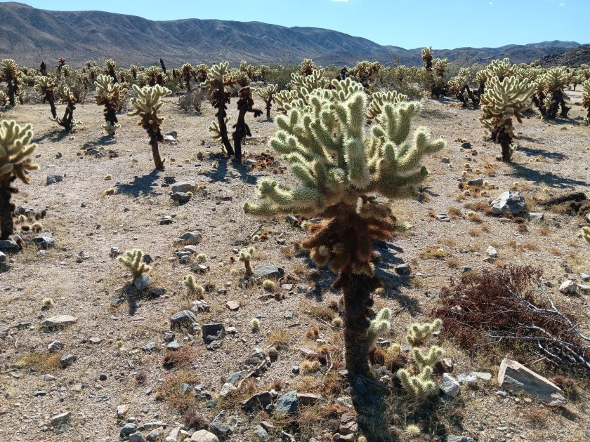
As much as we enjoyed the delightfully wonky Joshua Trees, we were even more taken by the ten-acre grove of Teddybear Cholla cactuses that only grow between 600 and 3,300 feet above sea level. Their name is misleading. This isn’t the sort of thing you’d want your toddler to snuggle down with for a good night’s sleep.

They look so cute and fuzzy, don’t they? They’re not.

Adorable as they are, they also have a super-power that allows their needles to readily attach to anything that brushes by them, and not in a good way. Simon was tempted to give them a poke, but, somehow, he resisted. We have special tweezers in the car for just such emergencies (tick tweezers for dogs, really, but they’ll pull needles, too), but thankfully we didn’t have to use them.


We returned to Joshua Tree after our visit to Palm Springs, but in the interest of efficiency I’m going to include that visit here and cover Palm Springs separately. We ate a lot of real food while experiencing the tucked-away haven for celebrities, wealthy second-homers, and the hard-working people who keep the whole place going, and that deserves its own blog.

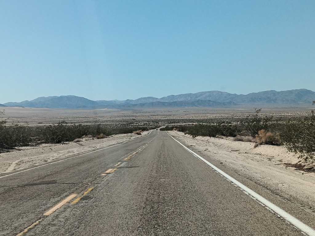
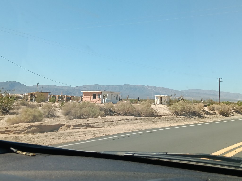
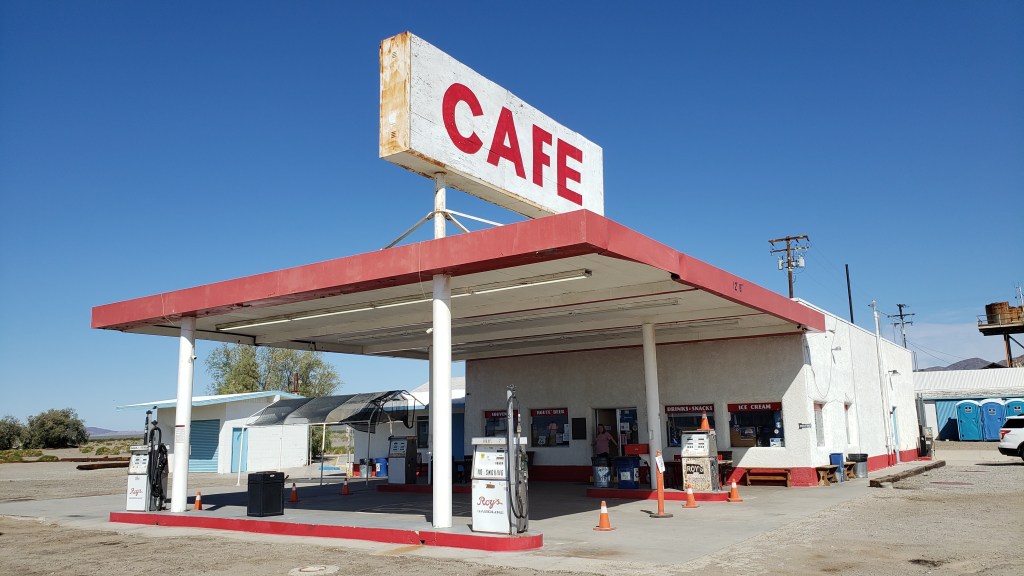
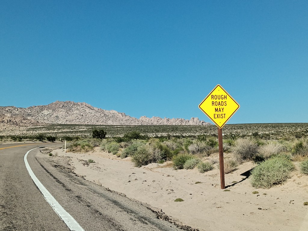
On our way through California from Nevada we took the northern route to Joshua Tree, traveling along roads that were not only desolate, they also featured tiny towns that were mostly abandoned, and a single gas station/café that we thought would have a restroom for bursting bladders, but didn’t.

This, but for three hours.

There may have been about 50 buildings here, but only a handful were occupied.

Need a bathroom with a flushable toilet? Too bad. Not doin’ it here!
Not wanting a repeat of that crushing emptiness and full bladders, and also wanting to see the southern side of Joshua Tree National Park, we opted for Highway 10 east, blissfully unaware of what the northern leg of the journey along connecting Highway 177 would bring.

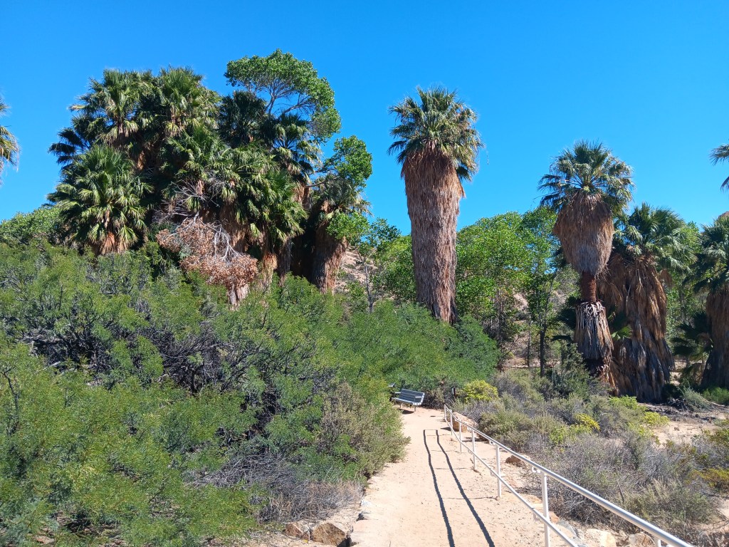
We only needed a moderate detour into the park for Cottonwood Spring, a literal oasis in the desert. Instead of the shimmering mirage that promised a palm tree-line water hole to movie and cartoon characters who didn’t pay attention to the Do Not Die Today signs and pack enough water and their own shade, this oasis did exist, and provided cooling cover, though all of its water had dried up.

A real live oasis. I’m not even sure I knew these existed.

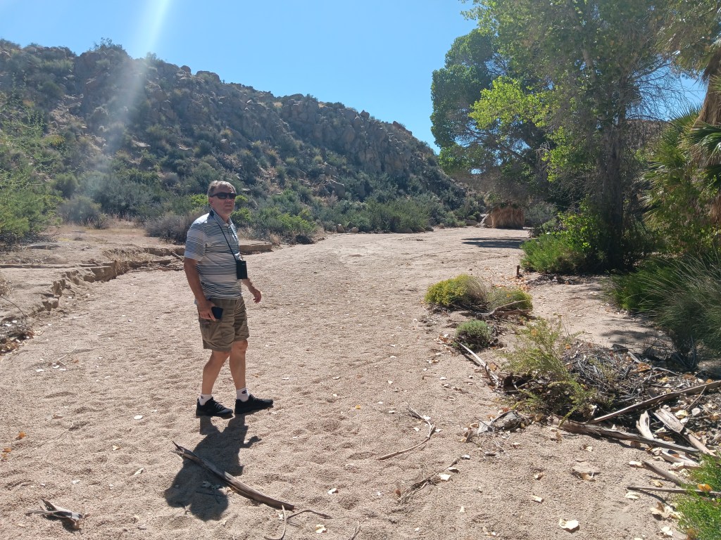
Tiny Simon.

With so much dense foliage around, and this being a desert, we did wonder what might be lurking in the underbrush or clinging to tree branches, but we set that aside and had a nice little wander, admiring the dry wash that ran through it while also bearing all the Flash Flood Danger signs in mind.

As pretty as the oasis was, it must be even more spectacular when this wash is flowing.

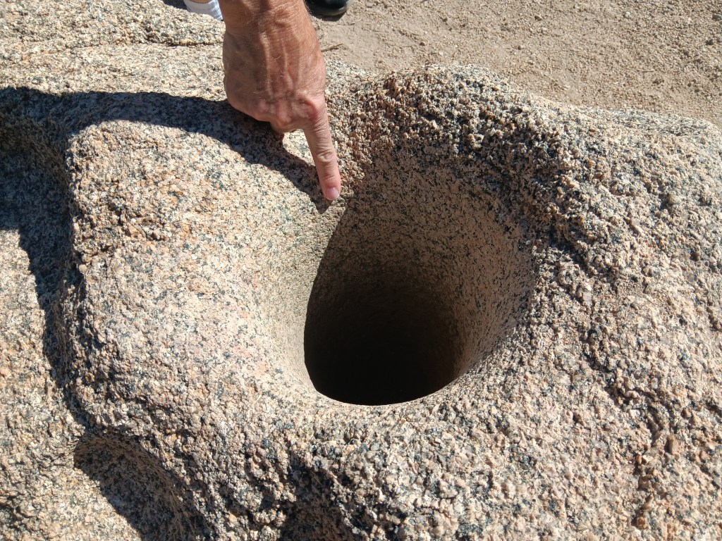
Fascinating signs along the oasis’ pathway described how the Cahuilla Indians who lived here used desert plants for food and medicine, and evidence of their daily lives remains, through mortar holes ground into granite rocks. The holes are so deep we could put our hands into them, nearly up to the elbow. Imagine how long it would take to form a hole that deep when grinding seeds for food.


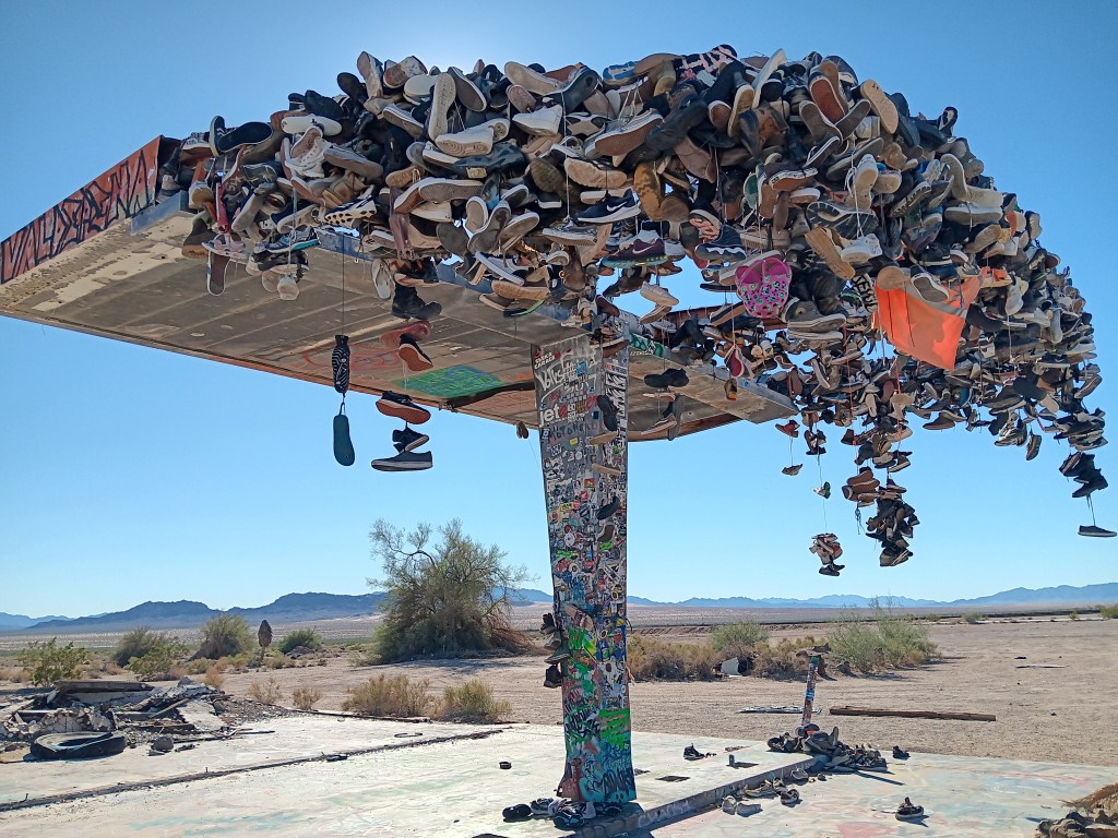
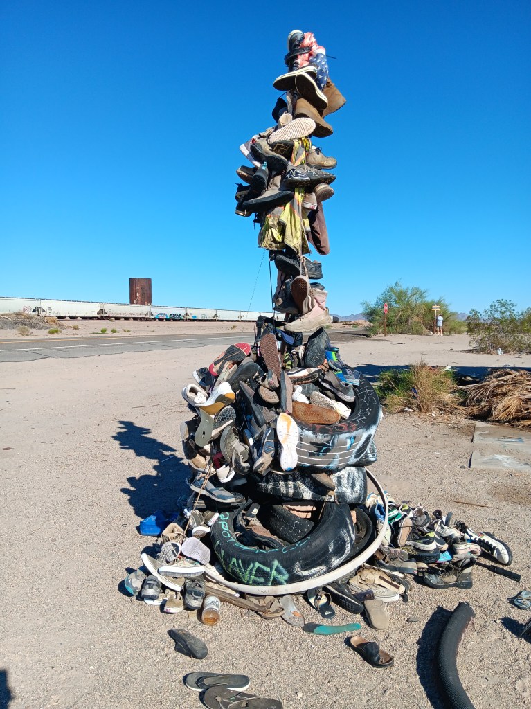
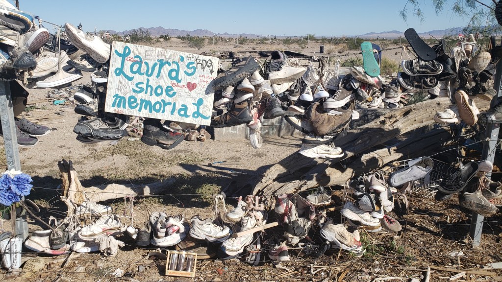
On the return journey back to Laughlin, we had the same mind-numbing emptiness along Highway 177 as we’d had on Highway 62 on our way out, with two major exceptions. Out in the middle of absolutely nowhere were two roadside curiosities. Hundreds of shoes, most tied together in pairs by their laces, some just singles, and some nothing more than the sole of a shoe, were thrown over a metal structure and a fence, or strewn across the ground as if blown down by the wind or left by a careless owner.

There’s no way you can drive by something like this without stopping.

Fledgling shoe tree.

One side of the big shoe fence.

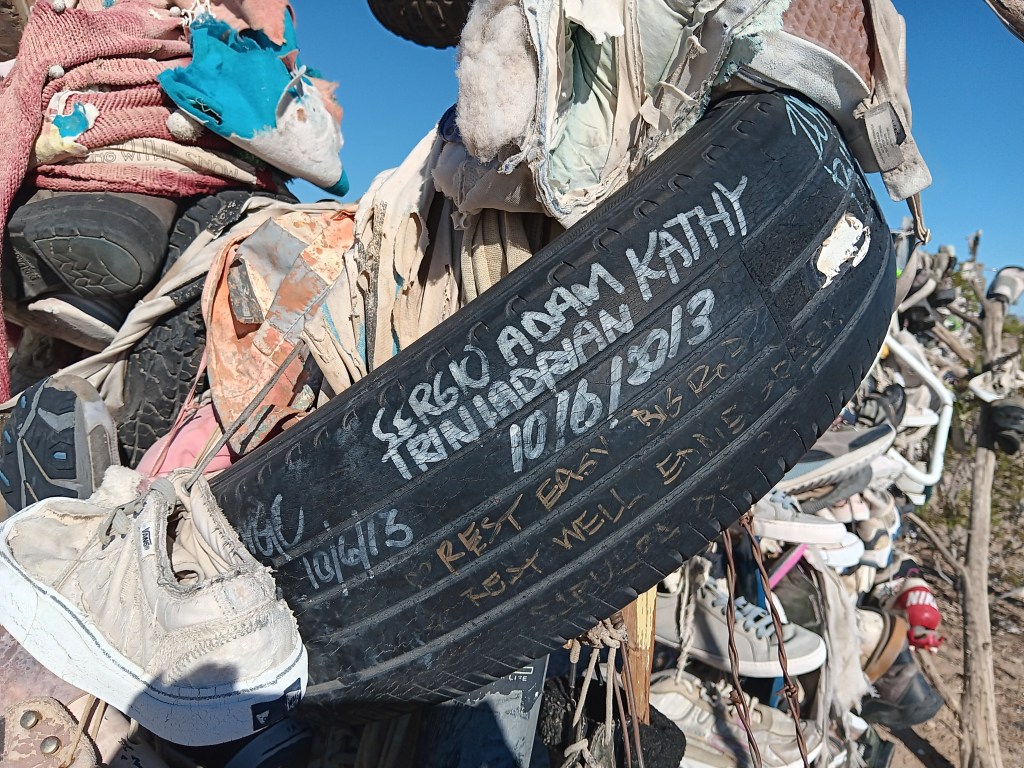
Other travelers had stopped, too, and we all wondered what it could mean. The trash and broken glass scattered around the place suggested a festival of some sort had taken place, but signs and signed objects indicated grief. Many shoes were signed with, presumably, their owner’s name, but other objects included comments such as “Rest easy,” or “R.I.P., Forever in our hearts” or the grief-ridden, “I love you, my boy, my son.”


It began to dawn on us that these could be memorials to young people who had passed during their school years, or shortly after, and the shoes were a way to show respect for their memory.


There were no schools nearby, and no town, nor even any buildings. Was the road a hazard? Did local teens dare each other to take on the desert the way only those who feel they have lots of time and are somewhat invincible could do? What happened here?

When we returned to our dear Fati we looked it up, and it turns out these shoe memorials are mainly just due to people passing by who throw their footwear over the metal “tree” or fence, presumably to combat the utter boredom of driving along that vacuous road. No one perished along the highway, though some deaths were remembered there.


We could see how people might die in Mojave, however, if they’re ill-informed or careless. At the same time, the desert held a quiet beauty for us; a beauty that was subtle and odd and blistering. We left thankful that we did not die that day in that fierce and wonderful place.

Day-Tripping In The Desert


At the start of our journey, we had five California national parks on our itinerary. Once we were within striking distance of The Golden State after modifying our route, only two of those parks remained viable.

Yosemite, Sequoia, Death Valley, Mojave Desert, and Joshua Tree were high on our list of parks we were most excited to see, but from our base in Laughlin, Nevada, the logistics – and Hurricane Hilary – came into play.

We had spent the last several weeks working on a plan that would allow us to make two overnight trips into California in Nippy, first to Yosemite and Sequoia, then to Joshua Tree and Palm Springs, along with a day trip to Death Valley and a day trip to Mojave Desert.

We won’t put you through the mental gymnastics we performed, but will only say it just wasn’t feasible. With various road closures, Sequoia and Yosemite were too far for a single overnight, and Death Valley was closed completely due to damage from Hurricane Hilary.

This isn’t a national park. It’s our lunch in the Mojave Desert. We are (and by “We are,” I mean “Susan is”) posting it only to prove we do sometimes eat real food whose ingredients go together. I’m also posting it because I don’t have any other photos that would be appropriate, and I’m tired of posting photos of rocks.

When our year on the road ends, it doesn’t mean we’ll never travel again, we decided, and we would put Oregon, Washington, and California on the menu for a later date, to enjoy them fully and at leisure. Problem solved.

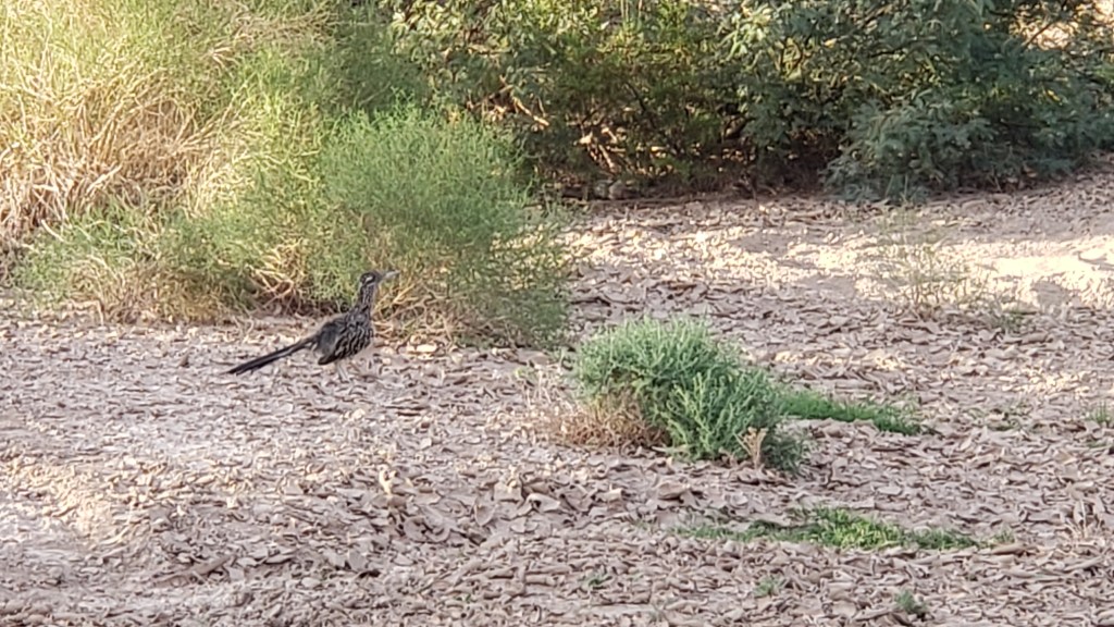
Mojave Desert National Preserve was only 51 miles from Laughlin, barely time to get Nippy’s engine warmed up. Neither of us had any real idea of what to expect, but we did hope we’d come across another roadrunner, a bird Simon was eager to see. We’d spotted one at Davis Dam in Laughlin but, as everyone knows, one roadrunner sighting isn’t enough.


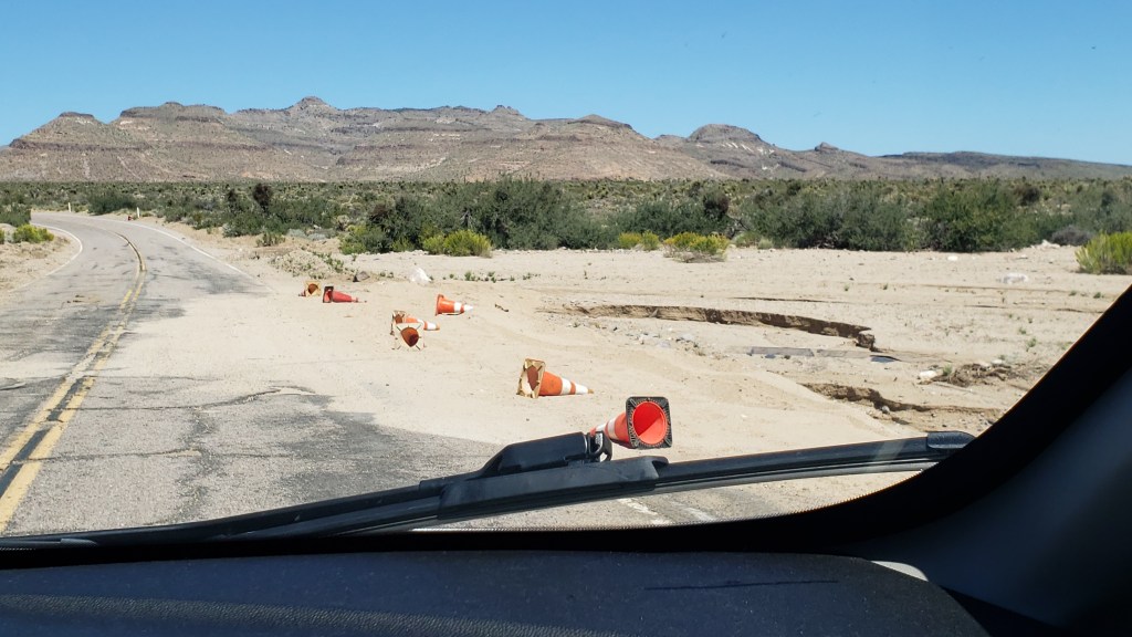
There was still evidence of water damage from Hurricane Hilary when we entered Mojave Desert National Preserve at Hole-in-the-Wall, named for the rocky hillsides that look like Swiss cheese.

Messy, but passable.

Swiss-cheesy rocks

There were also no-go areas that were under construction or prohibitive due to a fire, and many roads were only accessible to four-wheel-drive vehicles, so our options were limited. But our goal had really been to see the desert, and we’d certainly get a flavor of it with the driving we could do.

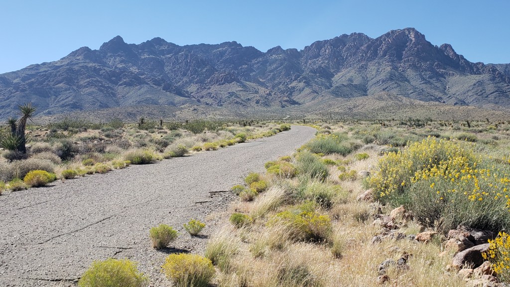
This goes on for 1.6 million acres, and spills out to a whole lot more of southern California.

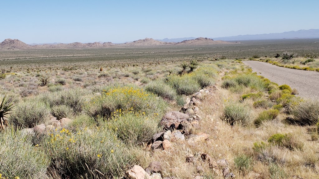
We thought the desert would be nearly all sand, but it was surprisingly vibrant.

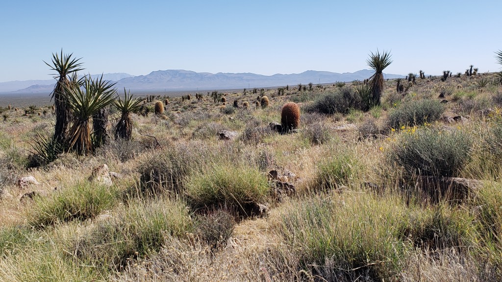
Those brown cactus kept fooling us into thinking there was a large mammal grazing in the distance. They sort of look like baby Wookie penguins up close.

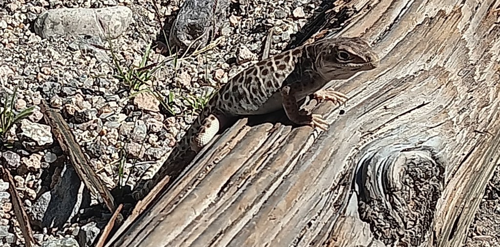
This little fellow greeted us at the Visitor Center, and wasn’t at all shy about posing for the camera.

We didn’t see any roadrunners, but we did have a wonderful wildlife sighting, which capped off the trip perfectly. The Desert Tortoise is a threatened species, so it felt quite special to see one, especially at such close proximity.

Click on photo to view video

One of the most popular reasons for visiting Mojave Desert is the Rings Loop, a hike which includes an ascent through the tight Banshee Canyon using metal rings embedded into each side of the narrow rockway, but Ruthie couldn’t do that because she doesn’t have opposable thumbs.

Rings Loop
Photo credit U.S. National Park Service

The Lava Tubes are another major draw, but due to damage they are now accessible only by four-wheel-drive, so the man at the Visitor Center suggested a side trip to Kelso Dunes, further west along Highway 40. The loss was softened a bit by having been in the lava tubes at Craters of the Moon while we were in Idaho.

We forgot to take the obligatory selfie at Mojave Desert, so here’s one from Craters of the Moon.

The dunes are massive. Much more extensive than Bruneau Dunes, but also much harder to access. There are plenty of warnings not to enter any road that’s not paved if you aren’t in a 4WD, so again, that particular road was off limits to us.

Roads often start out looking all benign, but can quickly devolve into bone-jarring terrain.

The day had still been worthwhile, and we were glad to have made the trip. To make up for any small frustrations, we had a rockin’ surprise in store when we returned home to Fati.

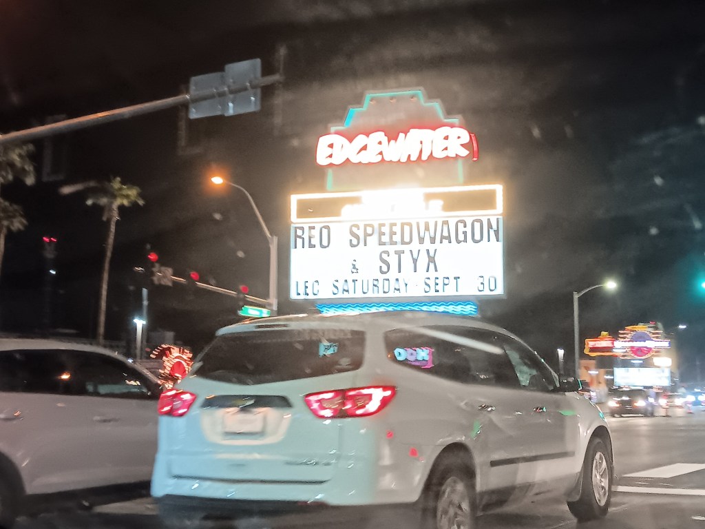
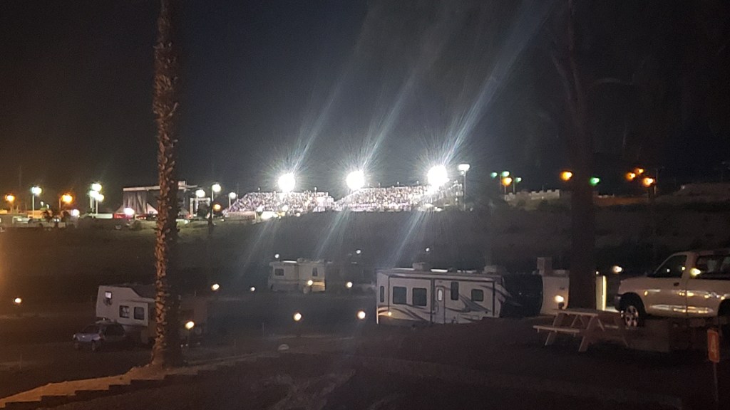
One of the casinos in Laughlin had been advertising a concert featuring REO Speedwagon and Styx (for those born after the turn of the century, these were popular rock bands from the ancient days of the 1980s). What we hadn’t realized was, it would be an outdoor concert just up the road from our campground, and we’d be able to hear every single note from our living room.


It occurred to us we might have an even better view if we drove over, parked nearby, and walked up to the venue, but the police were out in full force at barricades to the road the stadium was on, so that was a big “No.”

We sat in a parking lot just across the street, but it quickly dawned on us the wind was blowing in a direction that favored us returning to Fati, where we could hear each song clearly, have our own clean bathroom, and enjoy a beer for less than $15 a pop. Rock on, Team Veness!

The Great American Road Trip – Pt 3

Part 3 of our exclusive series for The Independent Travel is now online, highlighting the glories of both Yellowstone National Park and Glacier National Park, including the Bison of Yellowstone and the astounding Going-to-the-Sun Road in Glacier:

https://www.independent.co.uk/travel/north-america/usa/american-road-trip-usa-yellowstone-glacier-national-parks-b2415050.html

The majestic – but nerve-shredding – Going-to-the-Sun Road in Glacier National Park

Oatman And Its Dog-Scalping Burros


“Go to Oatman and see the wild burros, but don’t take your dog out of the car or they’ll bite its head and rip its scalp off,” the tourism representative in Laughlin, Nevada told us. How could we pass up something that local and unique? We might never get the chance to meet murder donkeys again, so, with the agreement Ruthie would stay safely in Nippy, off we went.

The burro’s face in the upper left-hand corner represents what’s to come.


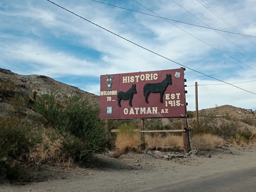
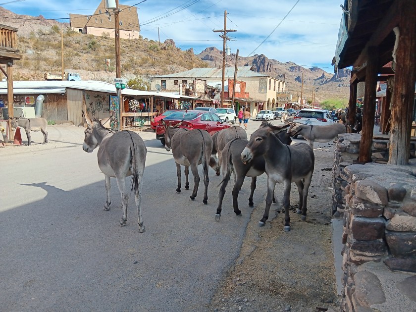
Oatman, Arizona, 30 miles from our campground in Laughlin, Nevada, has two claims to fame. First, it was the place where Clark Gable and his bride, Carole Lombard, spent their honeymoon night. Second are its wild burros, who wander through the tiny town at will, entering stores, begging tourists for snacks, and weighing up your dog’s potential as their next hearty meal.


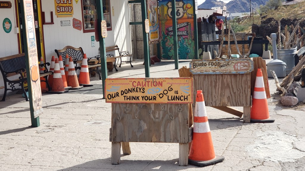
There are signs everywhere warning tourists about this penchant for bloodshed, but that didn’t stop some people from walking their tiny canines right down the town’s only street, like sadists waving tasty cakes under the noses of starving insane asylum inmates. And it was clear the burros weren’t shy about partaking, should the opportunity present itself. You could see it in their eyes.


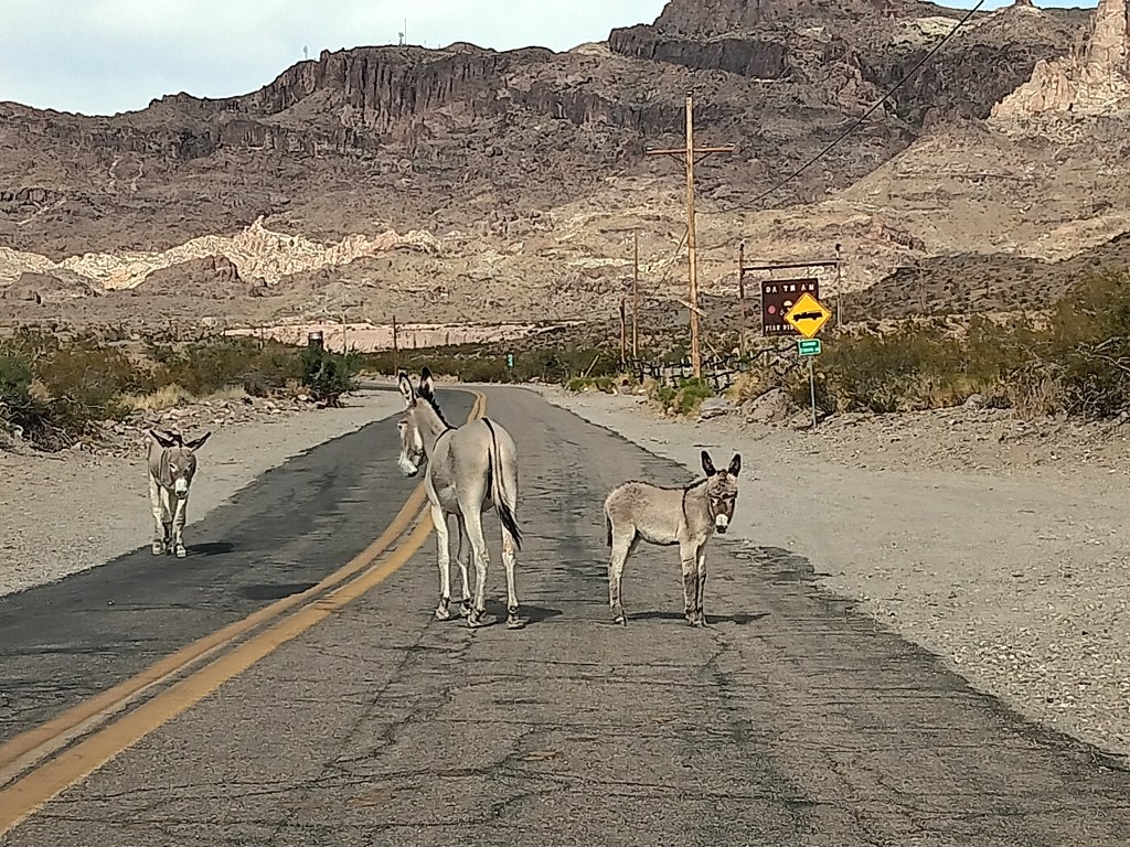
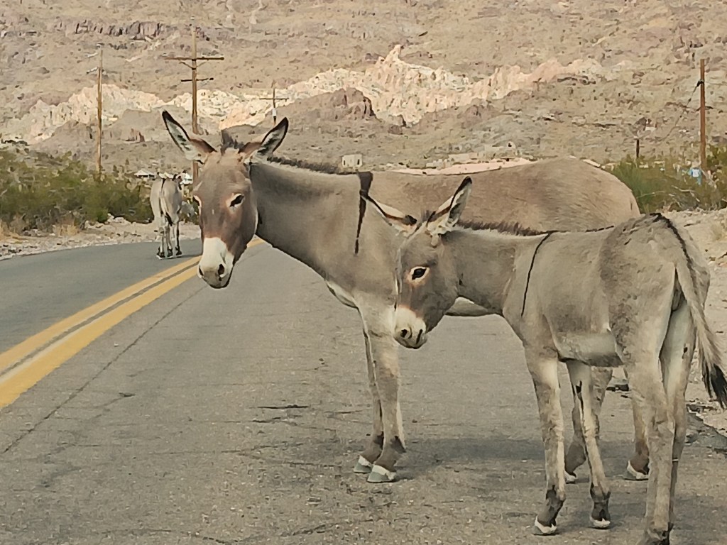
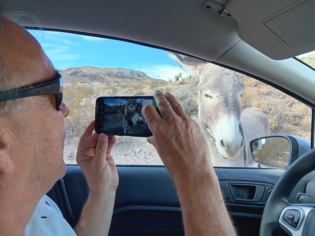
The first burros we met before reaching town were friendly. A mama and her baby gave us passing glances, while their companion had no problem at all coming straight up to the car to see if anything other than raw dog meat was on offer.


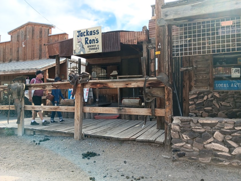
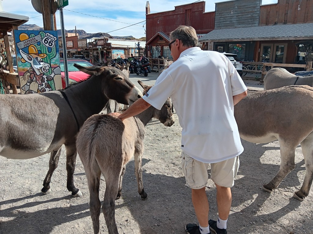
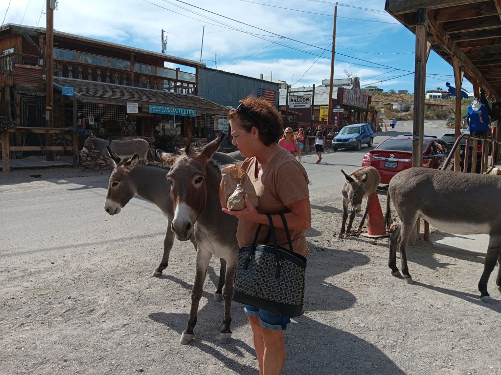
The specimens in town were pushy bastards, happy to pose for photos but even happier to kick each other, bite each other, and act in all manner of unsociable ways if they thought it would get them to the front of the line with tourists who were handing out hay pellets the size of a human fist, which could be purchased by the bagful in several of the stores.


Tourist does not like pushing!

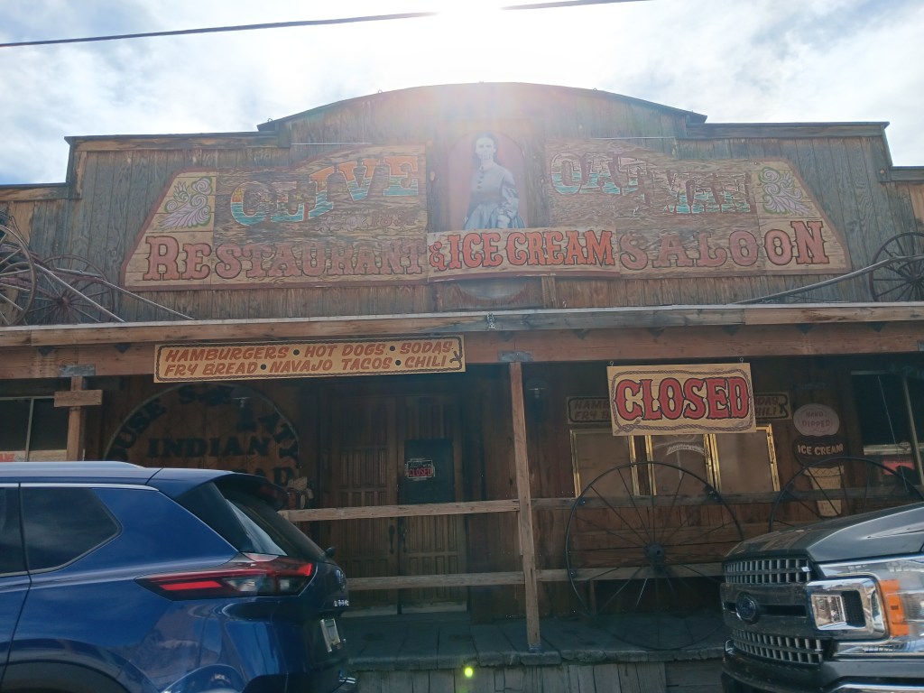
With Ruthie and her fuzzy scalp locked securely in the car (with all the windows cracked to let the breeze in and a promise we’d be back in just a few minutes), we headed to the Saloon, which the visitor center lady said was a “must see,” but stopped short of telling us why. “I don’t want to spoil it for you,” she said.

It didn’t help that there were three saloons, and we didn’t know which one she meant. The first one we popped our heads into was quirky, but reasonably so.


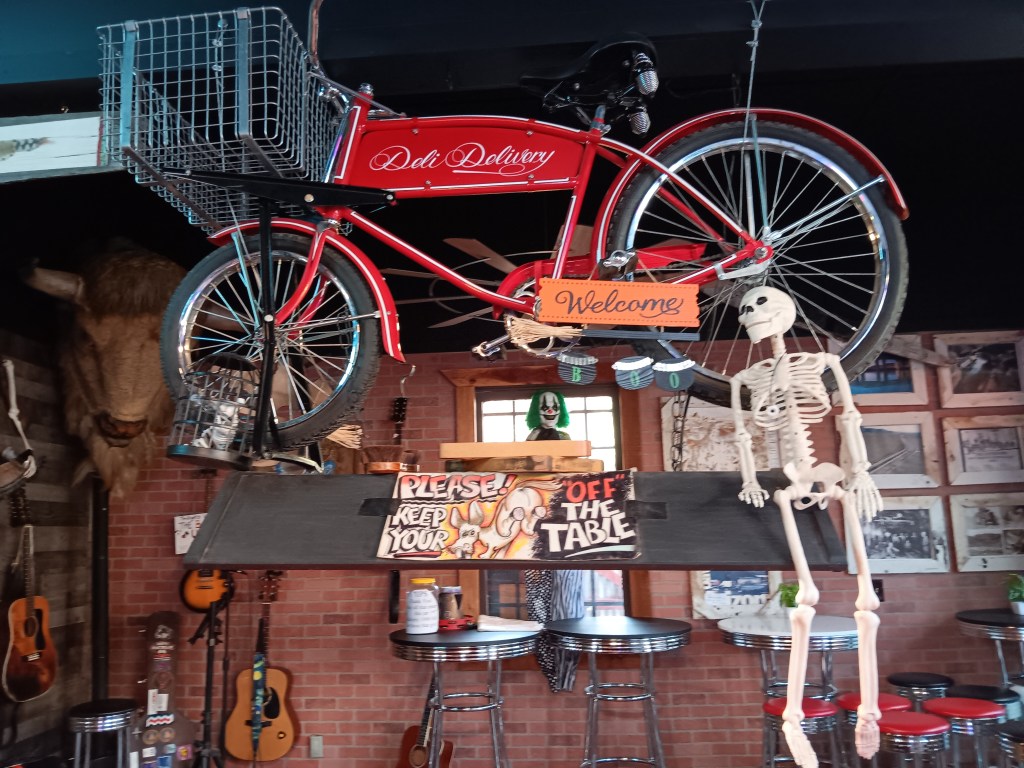
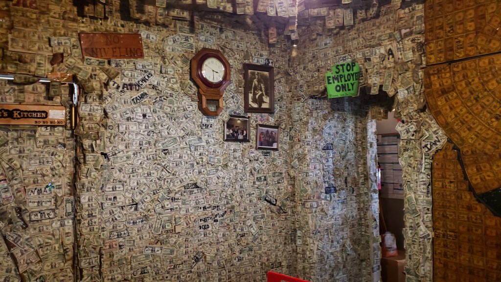
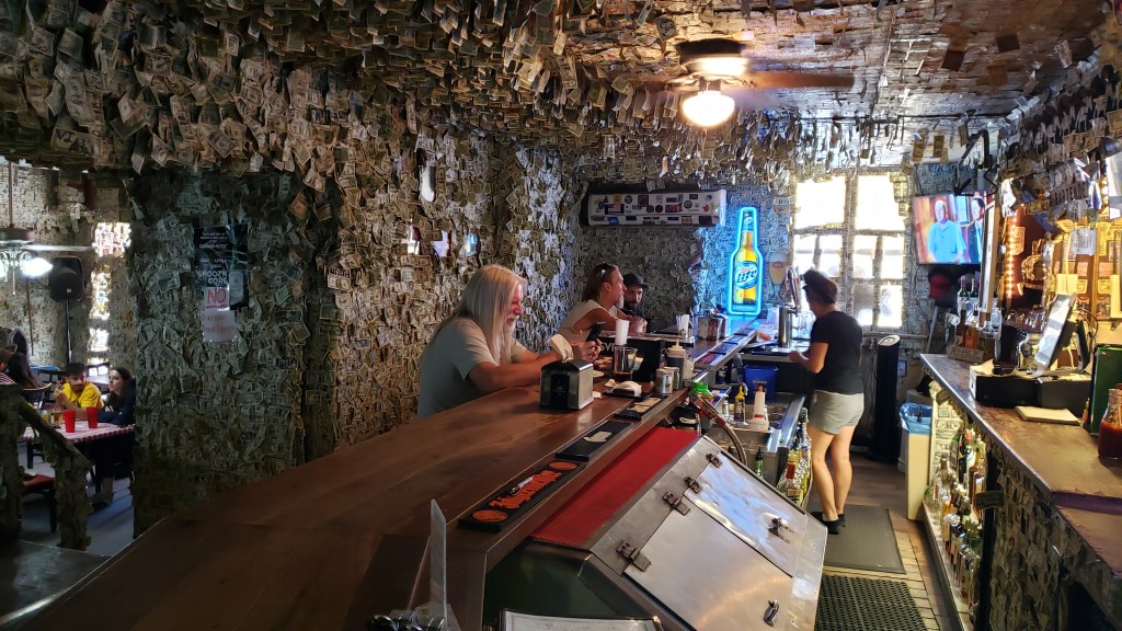
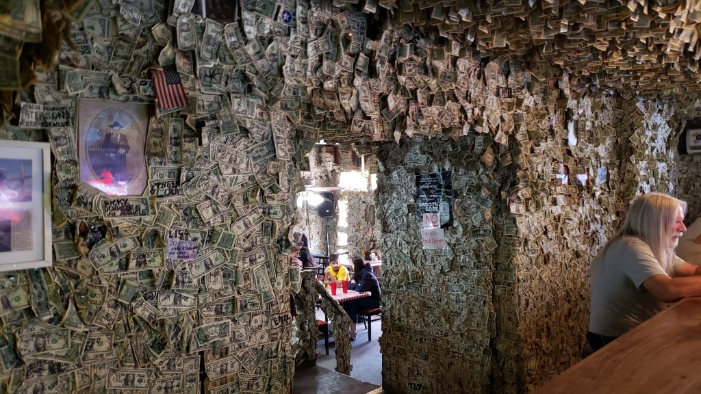
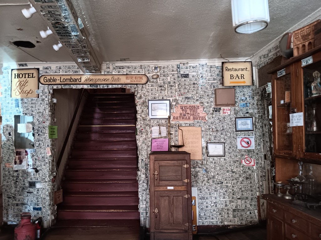
The second one, however, was the most outrageous example we’d ever seen of bars that encourage their patrons to staple dollar bills to the walls. This place was literally covered in money; nearly $400K, in total, we were told.

What the actual…!

Dollar bills were hanging in their thousands from the rafters, stapled to the doors and the walls, and crammed onto every available surface, not just in the bar, but in what appeared to be four or five rooms, a stairway, and probably upstairs too, though we didn’t make it that far.

We’re pretty sure this was the saloon the visitor center lady meant.

If there was a freakier bar in town than this one, we probably didn’t want to see it.

There is a room covered in dollar bills beyond this one. Maybe there are two. It was hard to tell.

The new Mr. and Mrs. Gable’s fame didn’t hold a candle to all that cash, but their names were immortalized on a hand-painted plank nailed above the doorway leading to the hotel rooms, which created an uncomfortable mental image of them climbing the stairs on the way to celebrating their wedding night.


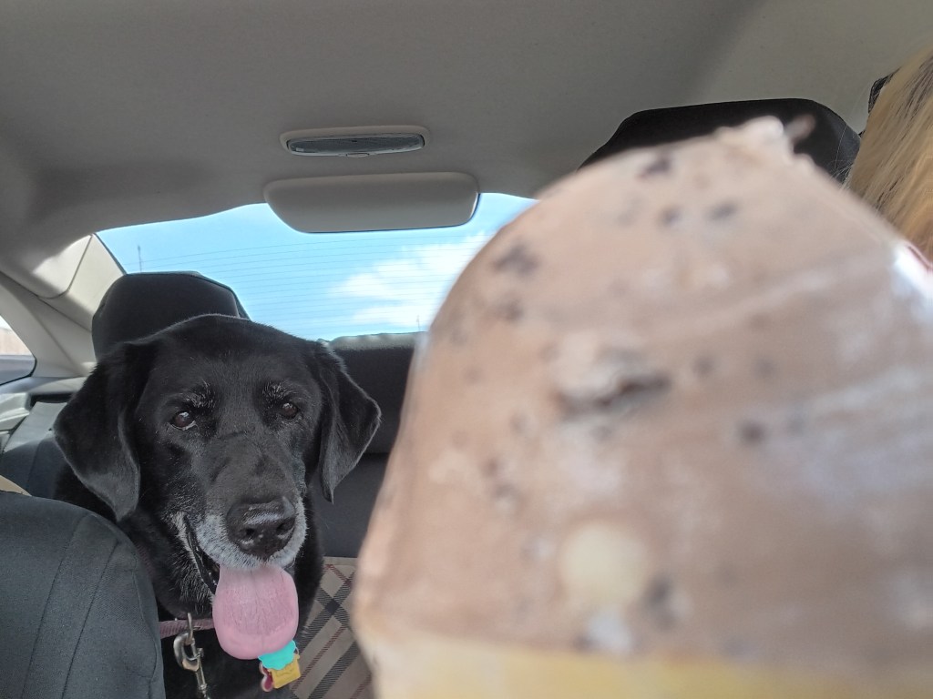
We took some photos, made all the appropriate “Oh, my God” noises, purchased two ice cream cones, and headed back to Ruthie, whose fur was all intact, even if her attitude wasn’t. She hates being left, we hate leaving her, but there are times when it’s for her own good, and we felt virtuous as we enjoyed our cones, congratulating ourselves for having saved her life, even though she’ll never know it.

She did get the bottom of each of our cones, so life was good!

What Happens In Vegas Ends Up In Tourists’ Photo Albums


You’re tired of reading about canyons, we’re tired of writing about canyons, so it’s time for some Vegas, baby! Almost.

Interstate 15 made for a very long day’s journey from Cedar City to North Las Vegas, with the added “thrill” of the Virgin River Gorge, a pass through the mountains that was so intense Susan had to drive Nippy through it while Simon hooted and hollered and had a hellofa great time taking the gorge’s grades in Fati. Sometimes you have to split up to keep everyone’s sanity intact.

There are no photos of this pass, of course, since Simon’s full focus had to be on the road and Susan’s was on praying for Simon’s safety. He was perfectly safe, as he knew he would be, and we made camp for four days in Vegas once we put the gorge behind us.

Our view of the Strip out Fati’s living room window.

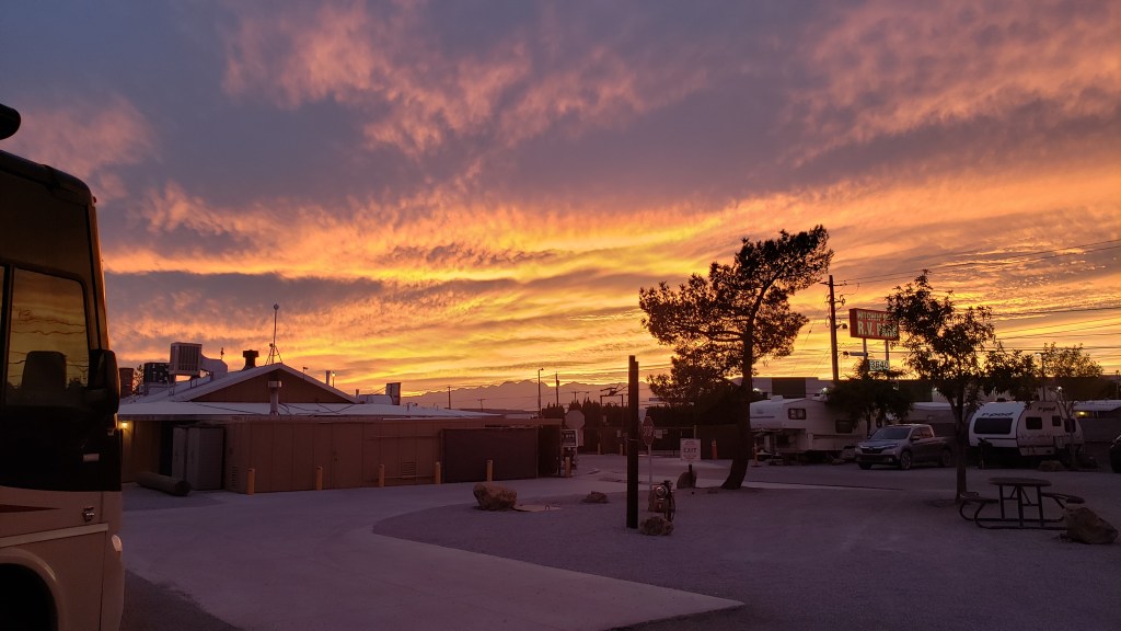
The sunsets were spectacular!

Valley of Fire State Park had been our goal for this leg of the trip, and we originally intended to spend three nights in a campground inside the park. Unbeknownst to us, Valley of Fire began a reservation system two days prior to our visit (it had been first-come), and we missed our window of opportunity. In the end, it did us a favor. It would have been a challenge getting Fati into the campground.

Instead, we visited in Nippy and spent a lovely afternoon enjoying the outstanding crimson Aztec Sandstone hills and pale limestone cliffs that were laid down and risen up during the Jurassic and Paleozoic eras, respectively. During the Mesozoic Era, 20 million years ago, this area was a sea.

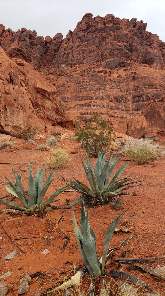
We’ll only show you a small snapshot, since you’ve already seen more rocks than any blog should make its readers endure.

The color of that sand!

“Yikes!”

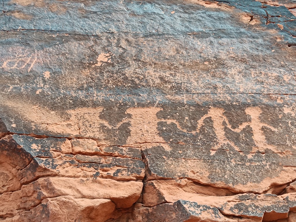
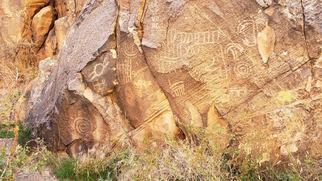
Petroglyphs in Valley of Fire were more recognizable as human than most we’d seen.


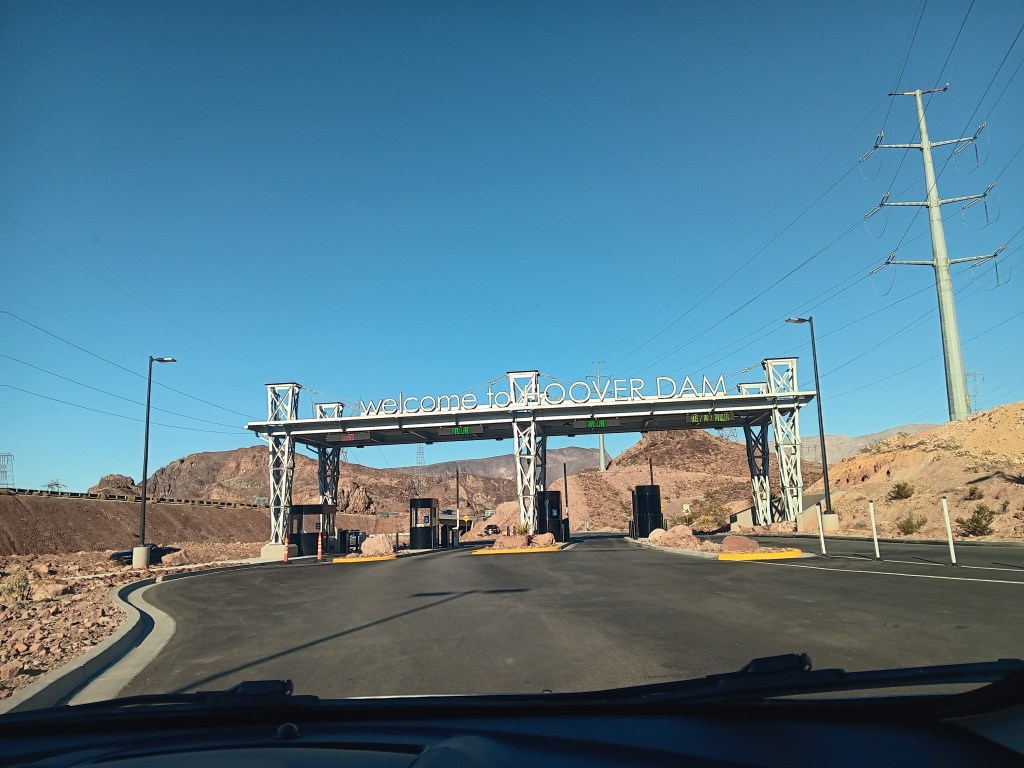
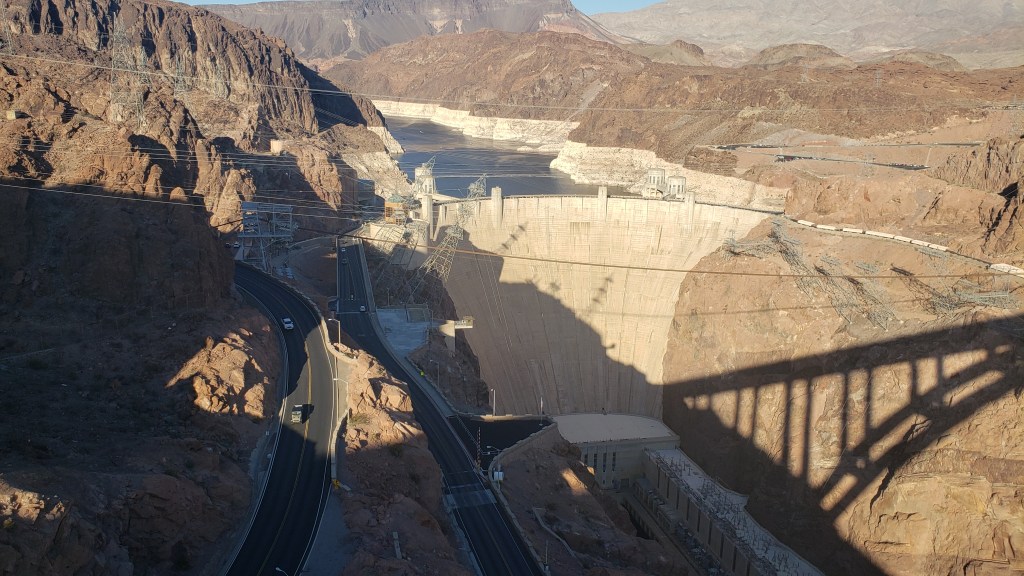
Hoover Dam was sort of on the way back to Vegas, so we took a little detour to see this human-made marvel of engineering. To say the guard at the security gate was “unhelpful” when we asked if there was a parking area before the dam would be an understatement. “It’s too complicated,” he said, and waved us through.


The answer to our question is “Yes.” The Mike O’Callaghan-Pat Tillman Memorial Bridge just beyond the security gates not only had a parking lot, it had the premier view of the Hoover Dam for those who enjoy high places suspended over an 890-foot drop to the Colorado River.


Dam that’s big!

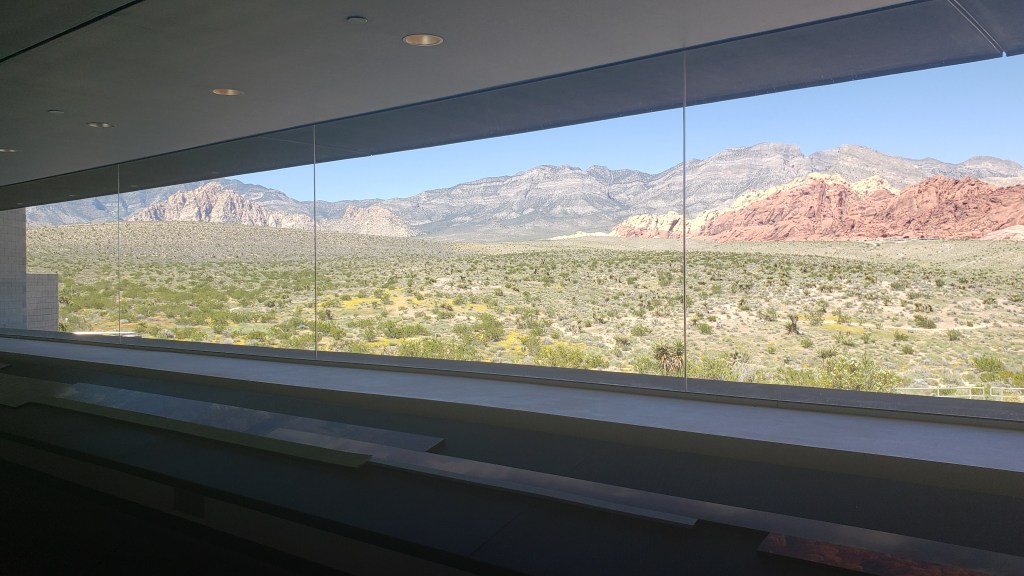
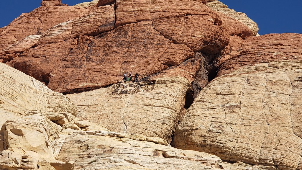
The next day offered perfect blue-sky weather for a trip out to Red Rock Canyon, which featured the best Visitor Center we’d seen so far, and a feature-packed scenic drive that hit every high note. But I’m going to run screaming from the room if I have to post many more photos of rocks, so here are three, and we can only highly encourage you to put this superb park on your itinerary next time you’re in Nevada. It’s lovely.

This isn’t a mural, it’s a wall of windows in the Visitor Center that looks out onto the park. How fabulous is that?

This isn’t a rock, but this lady rocks! We got the impression she’s a dog walker who’s taking her charges on a field trip.

Climbers (smack in the middle of this photo) who are much more adventurous than us. We watched them scale what seemed to be a flat wall.

Our third full day was intended to be a work day “at home,” but the lure of the Strip was too strong. We decided to check it out during the day, then return for its famous after-dark personality in the evening.

Simon had the brilliant idea of booking Ruthie for a grooming at PetSmart, which would buy us about two hours of free time to go into a few casinos for the atmosphere, and give her some spa time for a bath, tooth brushing, and nail trim. Bellagio was our goal, and we’d fit in Cesar’s Palace and the Venetian if we could.

Bellagio’s lobby.

Simon risking it all on one pull of the handle (not really; we didn’t actually gamble at all, though Simon probably would have had he not been offered the choice between this, or buying $6 coffees nearly every day. Susan’s no fun when she goes all financially practical).

In the end, we only had time for Bellagio, but we did get to see the fountain show, which was probably worth our time. It only does two musical numbers, the first of which was the National Anthem, and the second was the hauntingly beautiful Con te partirò (Time to Say Goodbye), sung by Andrea Bocelli and Sara Brightman.

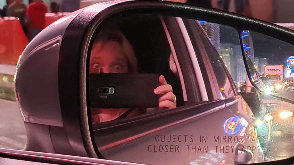
We kept trying to time our Selfie for the biggest water bursts, but never knew when they would happen.


The Sphere opened on September 29, 2023, but they were doing “rehearsals” while we were there.

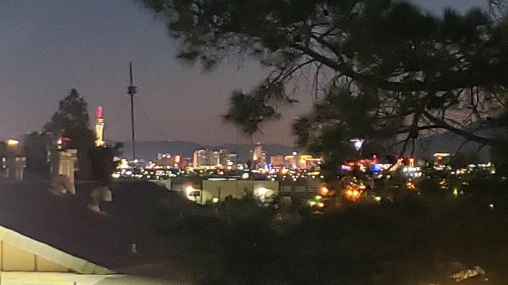
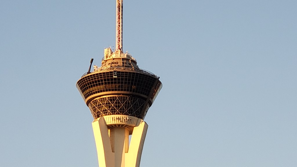
The black “arm” sticking up is the X-Scream thrill ride at the top of the Strat. It rocks forward and backward, dangling riders 866 feet above the Strip and suspending them there until they pass out cold. No, wait, that would just be me (Susan). Other people seem to love it.

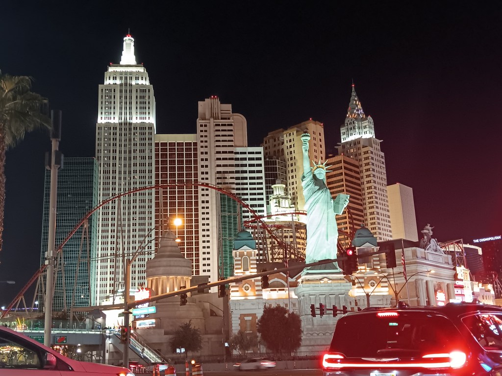
New York, New York hotel and casino

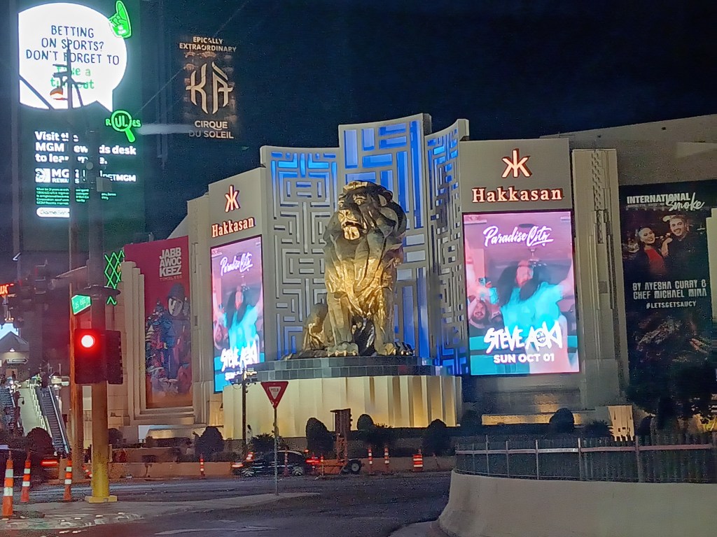
Outside MGM Grand. So many lights and video ads!

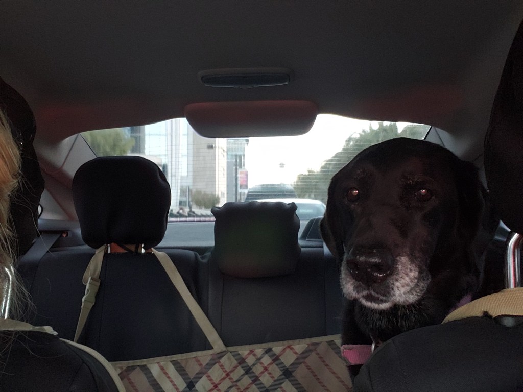
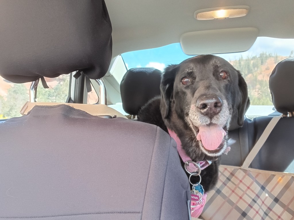
Ruthie often lays down in the back seat while we’re touring, but she was riveted along the Strip.


The famous pawn shop from television’s Pawn Stars.

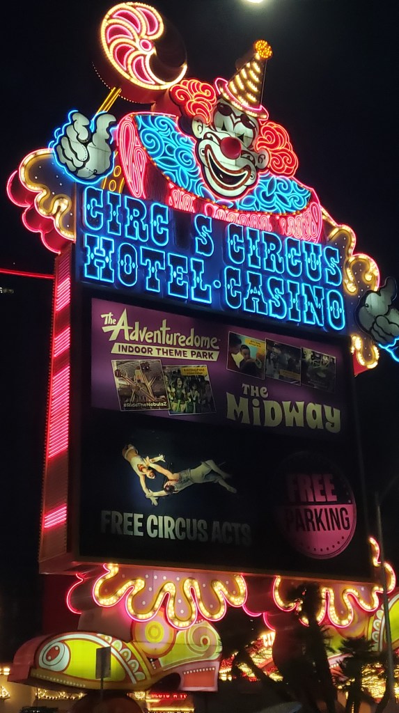
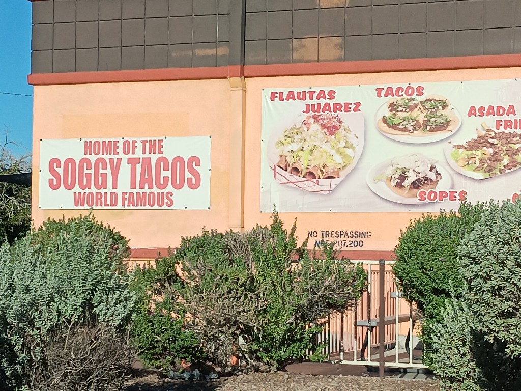
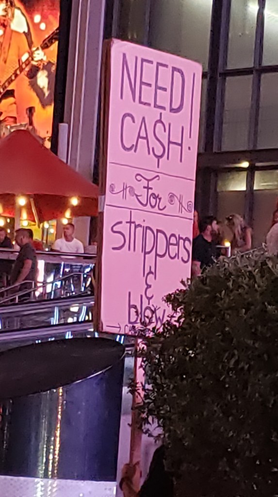
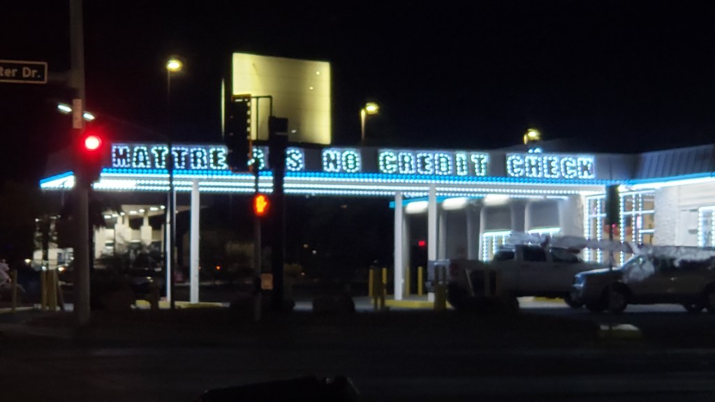
Even more captivating than the casinos were the bizarre sights we kept seeing, so we’ll share a few of them with you and hope they brighten your day, as they did ours.

Is that a selling point?

His mother must be so proud!

Mattresses with no credit check? The promise you didn’t know you needed.

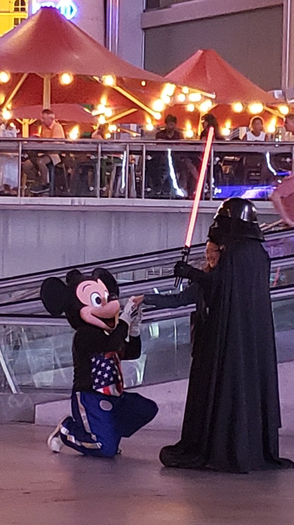
Mickey, NOOOOOOOO!!!

Ummmm…well….okay, then!

We were ready to leave Las Vegas when the time came. Little did we know we’d have an even more bizarre town waiting for us at our next stop.

Wonky Hoodoos And A Magical Flute


Throughout our journey, we’ve had to modify our plans around Ruthie, and we’ve done so happily, since one of our goals was to give her the best of what time she has left. Another one of our goals was to see as many National Parks as possible, and in Southern Utah those two desires collided.

“I’ll go wherever you take me!”

From our base in Cedar City, we were 77 miles from Bryce Canyon National Park, and just 20 miles from Zion National Park, two places that were high on our list of must-do experiences. They were places Susan’s parents had really enjoyed and, because of that, they had an emotional pull, too.

Grand Staircase Escalante National Monument and Capital Reef National Park were also on our radar, but after much discussion we came to the conclusion we couldn’t do everything or we’d end up frazzled and exhausted…again. So Bryce and Zion were “it.”


But not so fast.

Before we visit a place (usually months or, in some cases, years) we do our research. When it came to Zion, however, we’d dropped the ball. In some places, rules changed with the pandemic and, from March to November, Zion can only be visited via shuttles. No-dog shuttles.

The single exception was Zion’s Kolob Canyons on the north end of the park, and with that, the plan fell into place.


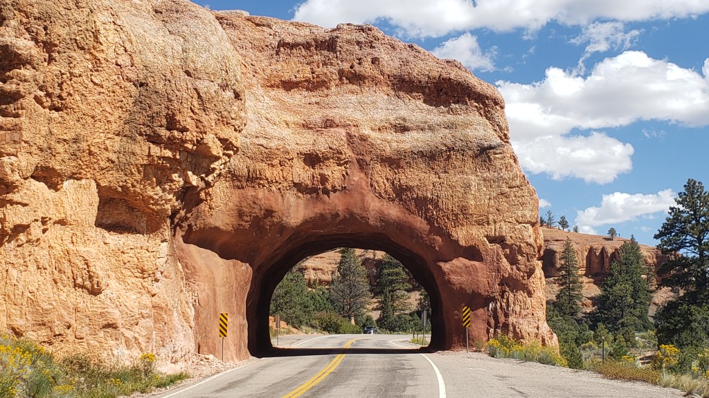
Bryce Canyon contains the largest collection of hoodoos in the world, and while we’d seen a LOT of canyons over the past weeks, this one promised something different. Even before we reached the park, we passed through the ridiculously gorgeous Red Canyon on Scenic Byway 12, which almost would have been enough on its own.


Not as small as Needles Eye, but still rather exciting.

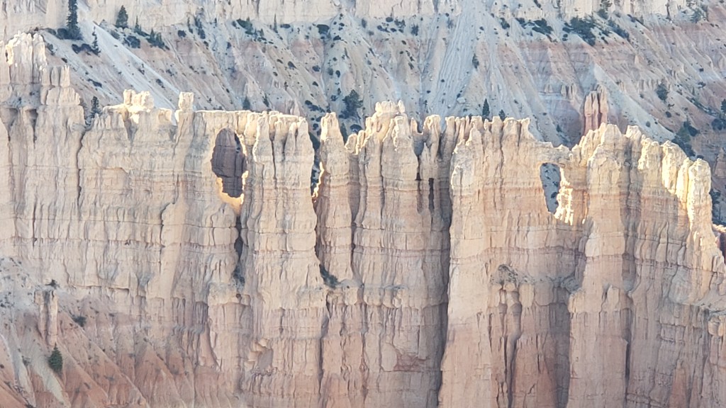
From the Badlands in North Dakota to Utah’s magnificent landscapes, we’ve repeatedly said, “How did that happen?” The short answer is, wind, water, and time. The longer answer in Bryce is, its distinctive formations began as flat rock on an ancient sea bed, uplift of land that created plateaus, which then weathered into “walls” with vertical gaps between them, then into “windows” (big holes in the rock, like we saw in Arches), and finally into the oddly-shaped, sticky-uppy hoodoos we see today.

Each of the park’s overlooks offered a different perspective:

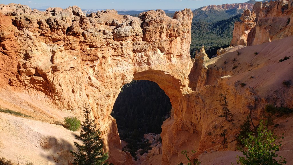
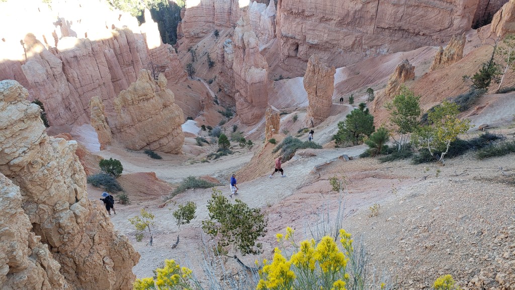
Natural Bridge (elevation 8,627 feet) is an example of the “window” phase of the plateau’s erosion.

Obligatory selfie.

Hoodoos taking on their distinctive shape.

The park’s crownlng glory, Bryce Amphitheater.
Click on photo for video

A pathway leads to the floor of the Amphitheater, but with temperatures at the summit in the 90sF, neither of us were prepared to endure the heat in the canyon.


We were put to shame when we caught sight of a bride and her groom hiking back up, with a photographer in tow. Anyone who has ever worn a wedding gown knows what a feat this was for the bride.


Everyone at the overlook clapped and wished them well as they rejoined their wedding party.

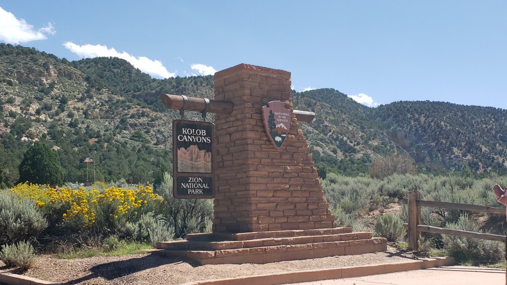
Kolob Canyons in Zion National Park was even more straightforward. An easy drive, entry with our America the Beautiful pass, and we were in. But only for three miles, as the scenic-drive road in the park was damaged due to a weather-related rock slide.

Ruthie really appreciated the cooler wind blowing through the canyon.

These 2000-feet-high canyon walls were pretty much all we could see, having walked a short stretch of the road beyond the barriers that were put up to prevent car travel.

It was a very limited way to appreciate Zion, but sometimes that’s how it goes, and with all the rock walls we’d seen in Utah, life was still worth living.

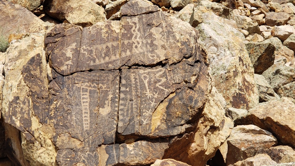
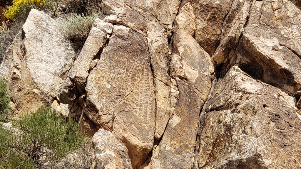
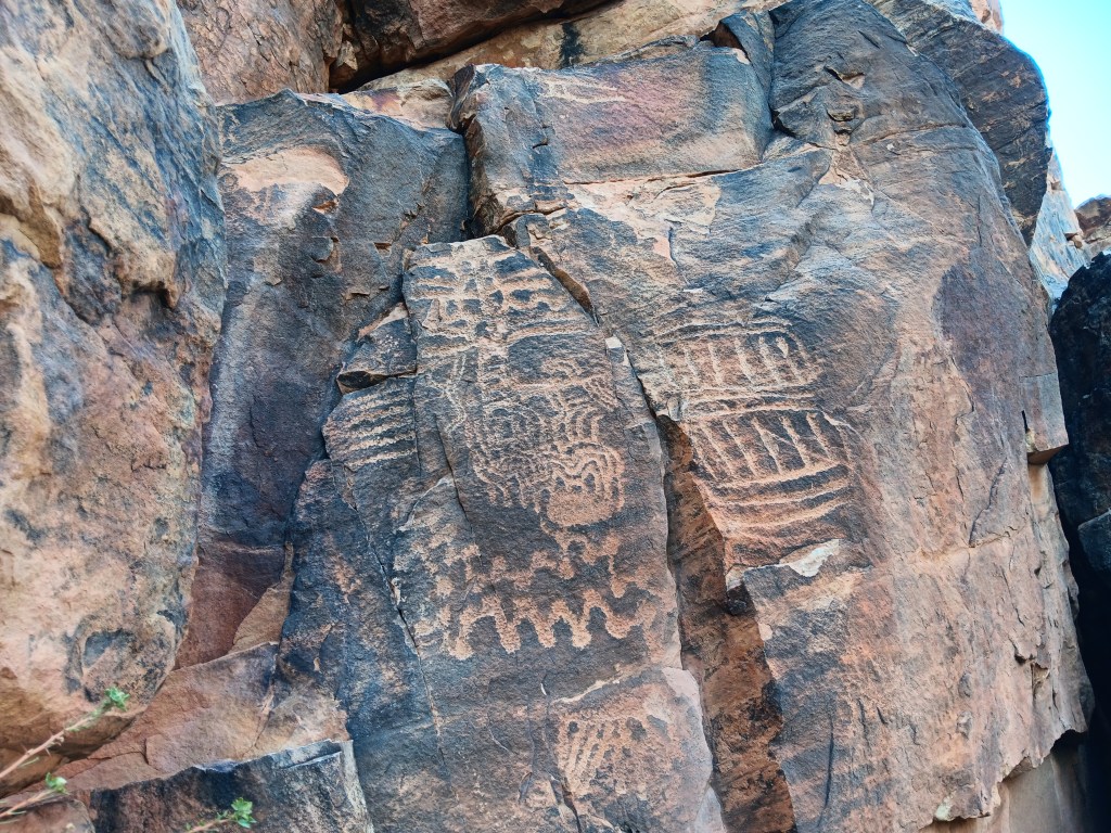
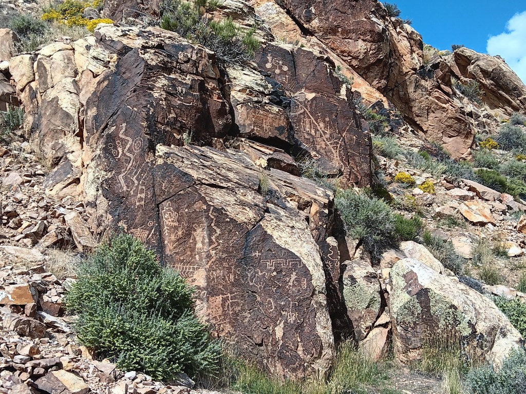
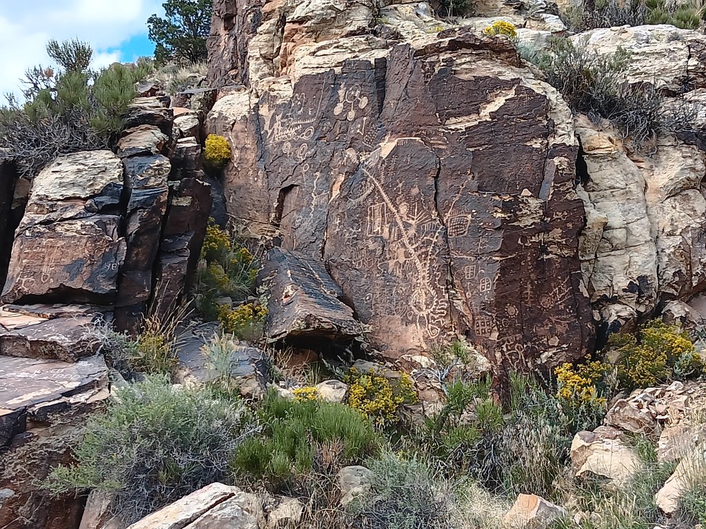
The next day we pointed Nippy north for a trip to Parowan Gap, a wind-and-water-created hole through a mountain that was used by Native Americans who left their stories etched into the deep crimson walls. And it was these petroglyphs that drew us to the area.


Other than three kids on motorbikes racing down the road, the gap was absolutely still and silent. We clambered around enjoying the petroglyphs, wondering at their meaning, and, in that stillness, it was easy to imagine nomadic tribes pausing to rest, play, soak up the beauty, and go about their daily lives.


The petroglyph roughly in the center of the photo is now called the Zipper Glyph, for obvious reasons. Its meaning isn’t known, but it’s thought to be a marker of travel days, first one way then another, from the summer solstice (the circle at the bottom). It may have been used as a means of tracking where game would be throughout the seasons.

As we stood admiring a particularly large set of petroglyphs, the most haunting, soul-stirring sounds of an ancient flute melody gently caressed the breeze, and for a moment we could imagine it was an echo of the people who used the area for a thousand years.

Turn your volume up, listen closely, and you can hear the flute.
Click on photo for video

Instead, it was Michael. Michael comes to the gap now and then to play his hand-carved flute, because, he says, he likes the acoustics.

The spirits of those who once passed through here like Michael’s playing, and he has had several encounters with them, he told us. It was easy to believe. Even Simon, who holds no particular belief in such things, agreed there was something special –and spiritual – happening in the gap.

This cave entry leads to a place where the tribes’ shamans meditated during their time here.

I’m tempted to stop this blog here, and just bask in the memory of such an extraordinary experience. We did have a rather startling return trip that included an unexpected climb up a mountain range to a ski resort town called Brian Head (elevation 10K+) and a journey through Cedar Breaks National Monument…


…but let’s just let the memory of the flute music sooth us into a happy stupor, and call it a day.

The Grandest Canyon Of Them All


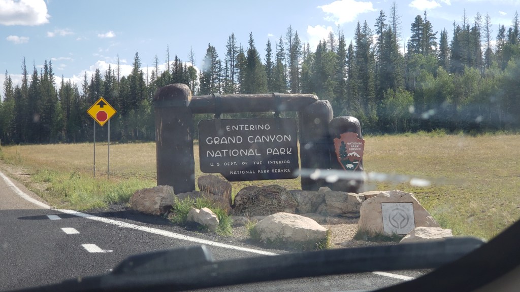
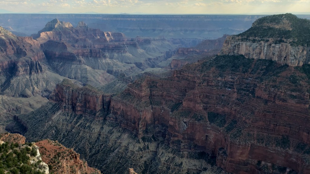
Simon had been to the Grand Canyon, but Susan had not. The South Rim was on our schedule, but with the change in our itinerary in Month Two, we now had the option to fit in the North Rim as well. Could we make it happen from 156 miles away? You know we could!


Donkey’s years ago (“a long time ago” for our U.S. readers), Simon visited the South Rim during his first trip to the States. We had heard the North Rim was pretty special, and much less crowded. While it would be a very long day, we agreed to make the trip, reckless vagabonds that we are!
Our dear friend Richard recommended a stop at Little Hollywood Land in Kanab on the way to the North Rim, for its Western movie props. Simon was all in; he absolutely loves that sort of thing.

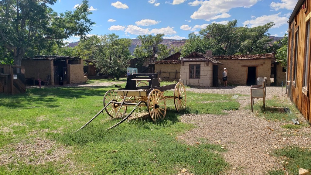
Little Hollywood is as kitschy as it comes. Homespun, quirky, it’s a curiosity for those who don’t know the old Westerns well, and if the AARP-aged man visiting with his son and pointing out all the little details is anything to go by, it’s a delight for those who do.


Some of the movie location props we saw were:

The backdrop for Kenny Loggins Live from the Grand Canyon concert in 1991


The barn and homestead sets used in the Clint Eastwood movie, Outlaw Josey Wales

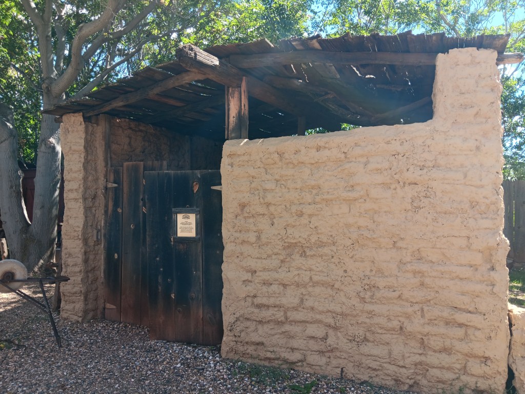
The barn

Inside the homestead

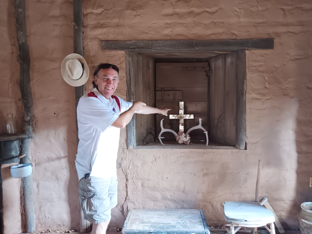
Simon, pointing at the cross-shaped window that featured in the movie’s final, dramatic gun battle.

And many more, along with a smattering of atmosphere props


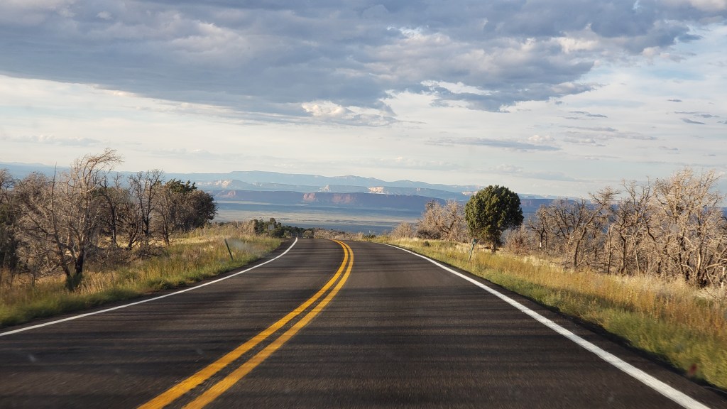
The drive to the Grand Canyon felt like it took forever once we left Kanab. This is pretty much what we saw the whole way:


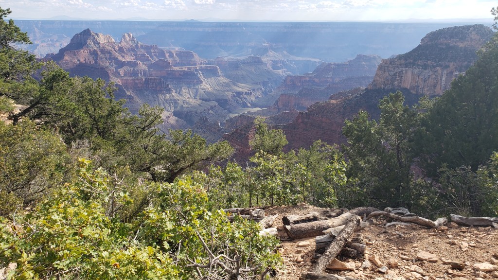
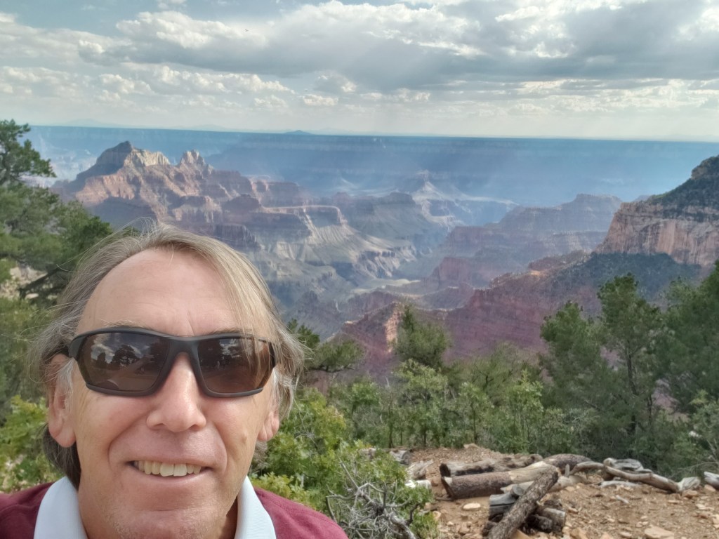
But once we arrived, the WPM (Wows Per Minute) cranked right up. We took the advice of previous visitors and made the drive from the entry straight to the end of the scenic road, then drove back and stopped at the overlooks, which were now on the right-hand side of the road, saving us from having to cross traffic to get to them.


It was the right decision. There was some pretty dicey roadway those last four miles, with big drop-offs and no guard rails, so it was better to get that over with quickly so that Susan could enjoy the rest of the visit.


Again, it’s impossible to get the scale. You’ll see people part-way into this video, which helps give some perspective.

Click on photo for video

The “mood” of the canyon changes, depending on how the light hits it, and this has always been something that intrigues me (Susan). Some might say I relate to “moody,” but that’s a discussion for another time.


Simon scampered around the park like a squirrel on a mission, taking all the narrow pathways and leaning out over all the railings, and as part of his exploration he discovered a room inside the lodge where guests staying at North Rim check in for their accommodation.


The room had huge windows overlooking the canyon, and while it was right on the edge of a drop-off, like most overlooks are, he took me by the hand when I returned from getting Ruthie settled in the car with some water, and said, “Come see this.” I’m SO grateful for that loving gesture, which gave me a view with a sense of safety.

This is an incredibly proud moment. Tears may have happened.

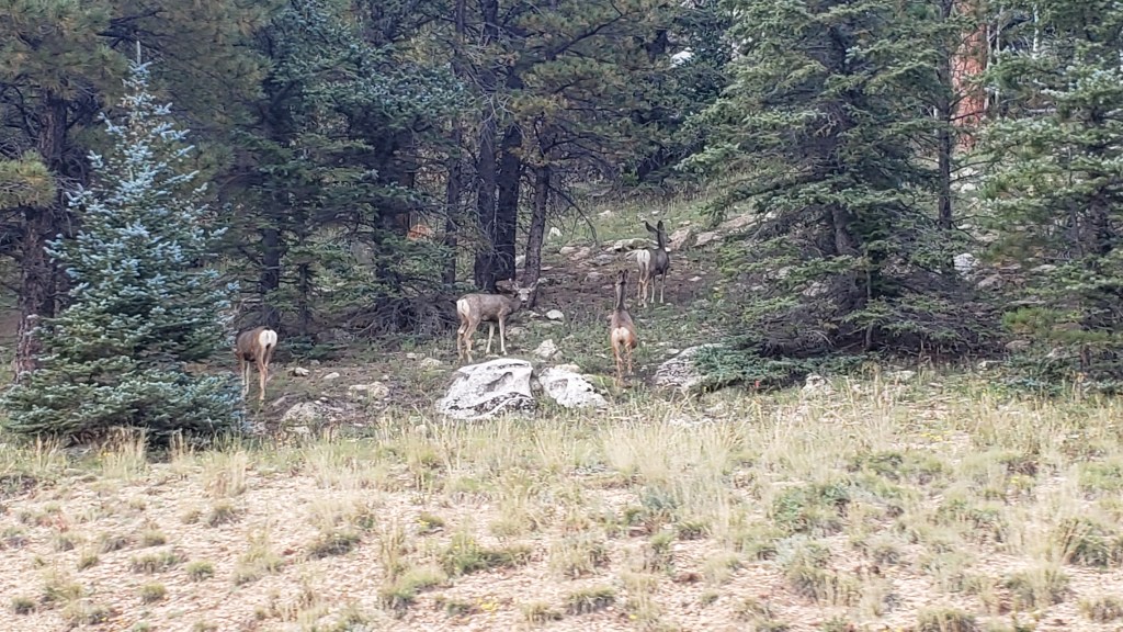
On the way out of the park we were treated to a wildlife sighting, which capped off the day just right.

Mule deer doing mule deer stuff

We had two more major National Park experiences coming up, and one unexpected mini canyon. While it was nowhere near as grand as the Grand Canyon, the emotional impact of little Parowan Gap would prove immense.

Utah Rocks!


When it comes to mind-blowing scenery, Utah looks at all the other states and says, “Hold my beer.”

From its gargantuan red-rock mountains that glow as if lit from within to world-class National Parks featuring formations you can hardly get your head around, Utah takes the WPM (Wows Per Minute) and cranks them up to eleven.

Warning: There will be a lot of photos of rocks in this blog. Get coffee or tea, or something stronger. We’ll wait.


After a Wallydocking in a Walmart parking lot the night before, our next stop was a golf course campground in Payson, Utah, where we parked Fati for four days, two of which we spent 150 miles away with a couple of nights in a Green River hotel within striking distance of Arches National Park, Moab, and Canyonlands National Park.

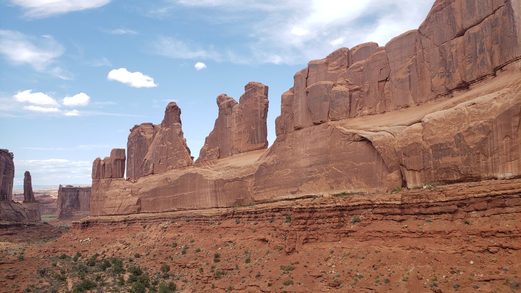
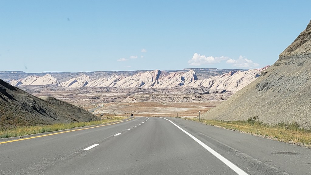
The drive to Green River was every bit as scenic as anything we would see beyond the paid-for side of a National Park entry gate. Highway 6 goes through the Wasatch Mountains, delighting us with a dazzling array of towering rock formations in endless shades of red; rolling yellow hillsides; and bare-rock mountain tops.

What planet are those rocks from? Otherworldly.

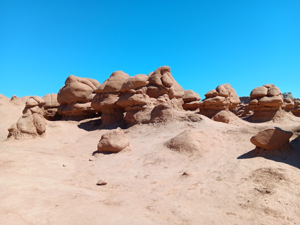
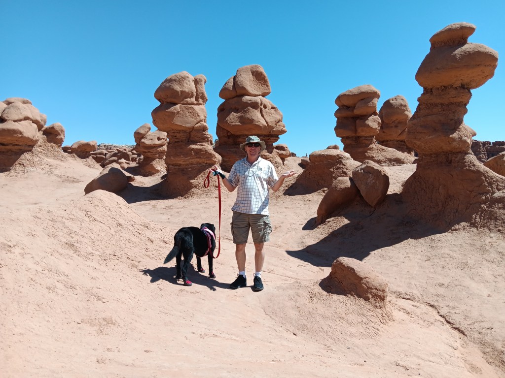
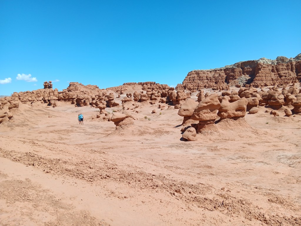
Before checking in to the hotel for two nights, we made a detour to the charmingly named Goblin Valley State Park, a three-square-mile valley filled with adorable Entrada sandstone “goblins.” Their official name is “hoodoos,” but the formations that don’t look like giant potatoes do have a sense of bulbous-headed gremlins about them.

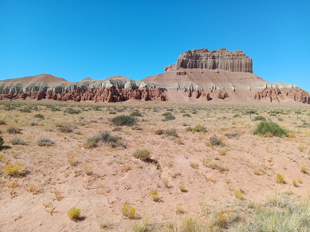
As we drove down the road toward the park, one rock feature in particular caught our attention. From far away, it looked like the Ritz Carlton hotel in Orlando. Closer up, it morphed into the Jedi Temple from the Star Wars movies. Ancient, abandoned, filled with a quiet sadness, it told a story that spoke to something in Susan’s psyche in a way other mountains had not.

Ritz Carlton Orlando or ginormous rock structure? You decide!

Is it just Susan that sees the Jedi Temple? It’s okay to say if it’s just Susan…

Once in the park, the temperature was too hot for Ruthie to go hiking for long, but we spent some time wandering the first of three valleys, and felt we’d more than gotten our money’s worth.

If these are goblins, that last photo is the Jedi Temple. Don’t argue with me (I mean, Susan) about this!


Tiny people giving some perspective to the scale of this place.

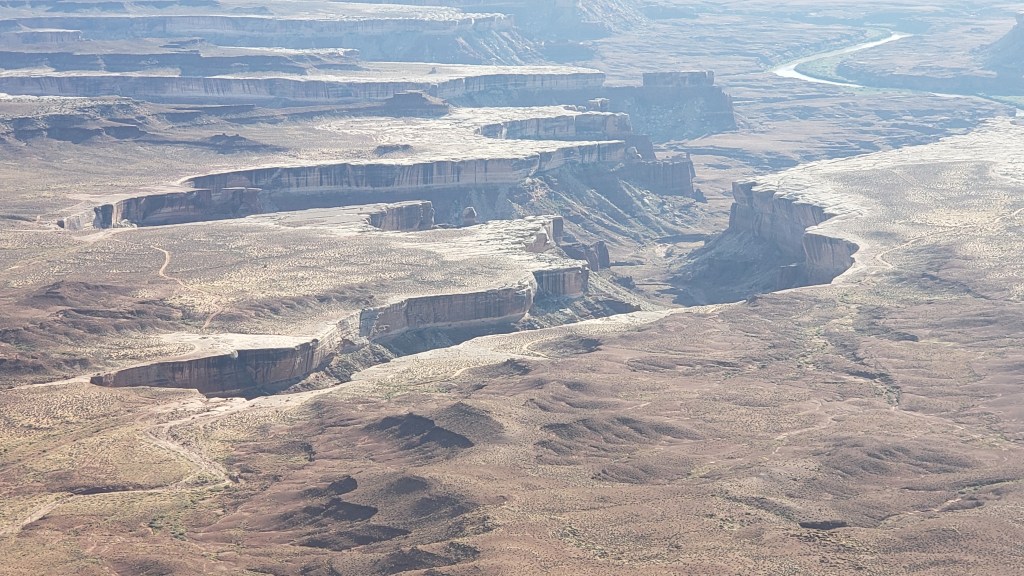
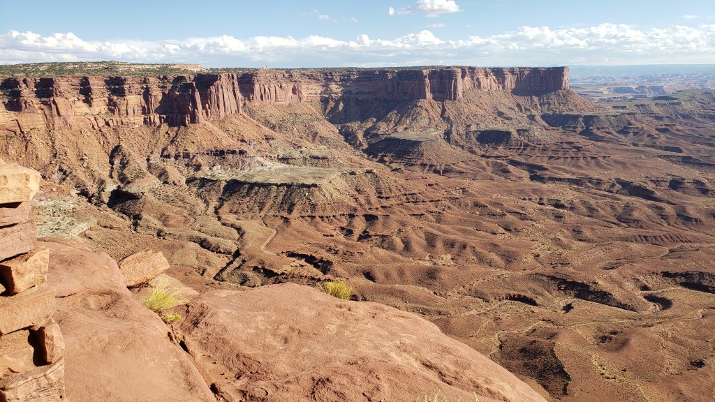
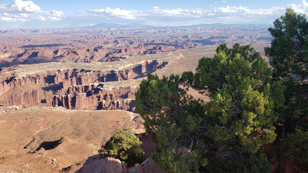
From the valley floor to the heights of a butte far above the Colorado River, Canyonlands National Park was our next stop, for its Islands in the Sky scenic drive.

By now you know this sort of territory is pure bliss for one of us and extremely challenging for the other, but we didn’t come all this way not to see these spectacular parks, so we each enjoyed the views from within our personal comfort zones.

Click on photo for video

Click on photo for video

The road you see in the second video, above, is the Shafer Trail, and it’s not a walking trail. It’s a crazy-person driving trail, and we have reliably heard that one man’s wife nearly jumped out of their truck from pure fear when they mistakenly took that road instead of the tourist-friendly scenic drive. Thrill seeker? This is your road!

Simon will post a video of that road in use on our YouTube channel (Veness Travel Media), so be sure to look for it soon (and subscribe!). You may want to put on brown pants before you watch, because…d@mn!

We’ll let you enjoy the overlooks as we saw them.


Islands in the Sky mesa is 1000 feet down from where we were standing, and this canyon is another 1600 feet down. A trail leads to the bottom of the canyon, but we didn’t take it (as if we have to say that!).


It’s like the earth just shattered.


The next morning we set off for the town of Moab, just on the edge of Arches National Park. We couldn’t enter the park until 3 p.m. due to its timed-entry reservation system, and our time was later than we would have liked. We had previously scored a morning entry for another date, but had to give it up when we changed our original itinerary.

But the Moab Visitor Center lady not only showed us how to modify our reservation on our phone, which got us in an hour earlier, she also recommended we visit Potash Canyon until our entry time arrived. And golly Bob howdy, were we ever thankful for her recommendation!

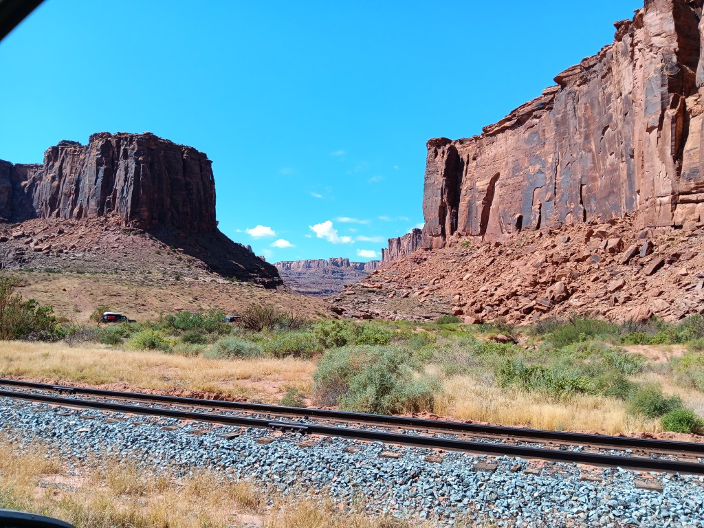
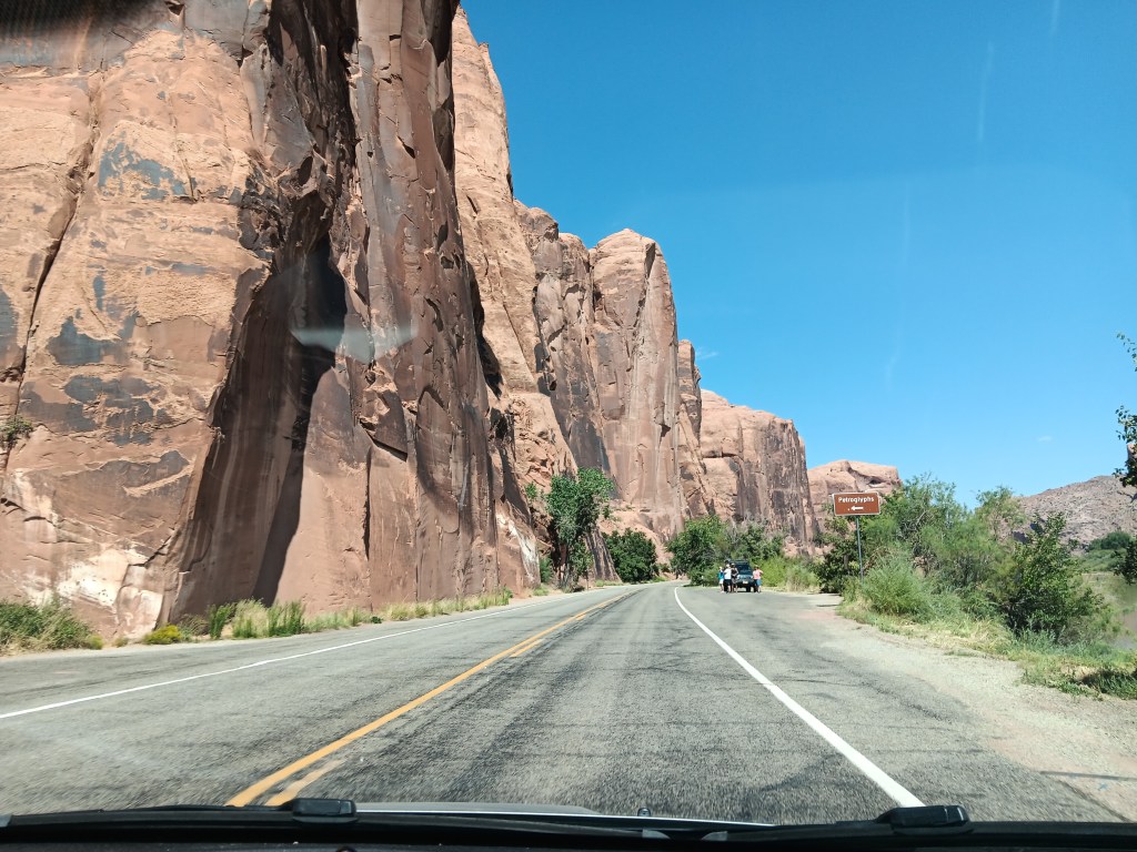
Just driving through the canyon was scenic enough.

This gives you an idea of how high the canyon walls are. The people on the side of the road are looking at something pretty special, and we’ll join them in a minute.

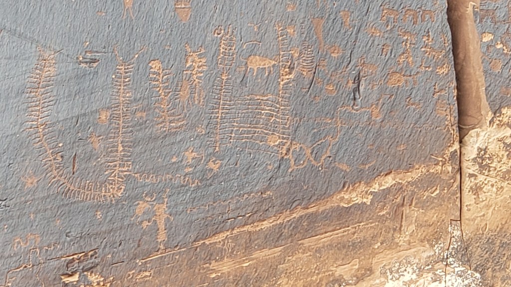
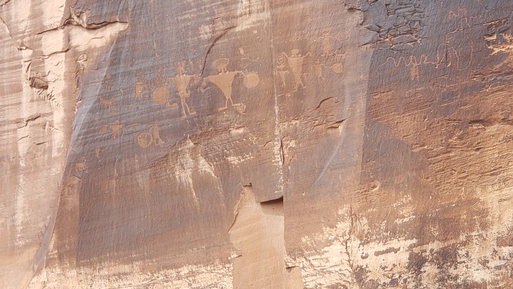
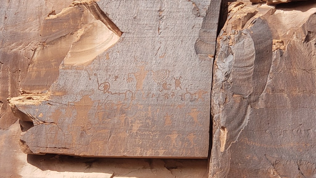
The Potash Road drive was a “trip back in time,” to use a very overused phrase. Turnouts along the road allowed people to stop and admire the petroglyphs etched into the sandstone mountainside, primarily by the Freemont tribe, between 600 and 1300 A.D.

The petroglyphs here were mainly markers of time, but also included bears, snakes, bighorn sheep, and other figures.

Warriors in these petroglyphs are holding shields. Some are also holding hands, showing how the people formed human chains to round up whatever animals they were hunting.

You can just make out the human figures dressed in horned headgear and what look like triangular costumes.

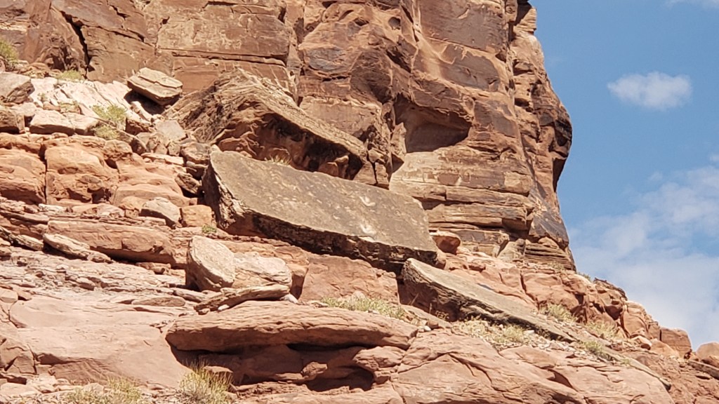
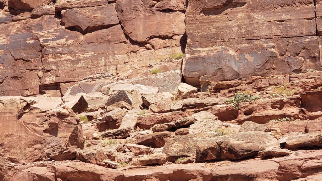
Further along we found Poison Spider Dinosaur Track site, where a scramble up the boulders rewarded scramblers with up-close views of dinosaur tracks left during the Jurassic era. It was much too hot for a long hike, and Ruthie couldn’t even do a short hike over those boulders, so we experienced the footprints through our binoculars, and snapped a photo of the ones that were easiest to see from the parking area.

The two small, white things that look like three-toed prints on the right-hand side of the rock facing outward are dino footprints.

It’s hard to make out amid all the boulders, but see that flat slab that looks like concrete, standing upright, facing forward (smack in the middle of the photo), to the left of the darkest part of the canyon-side and above smaller white/gray boulders? There are lots of tracks from a small dino on that slab. You can see why Ruthie (and we!) couldn’t quite get to them.

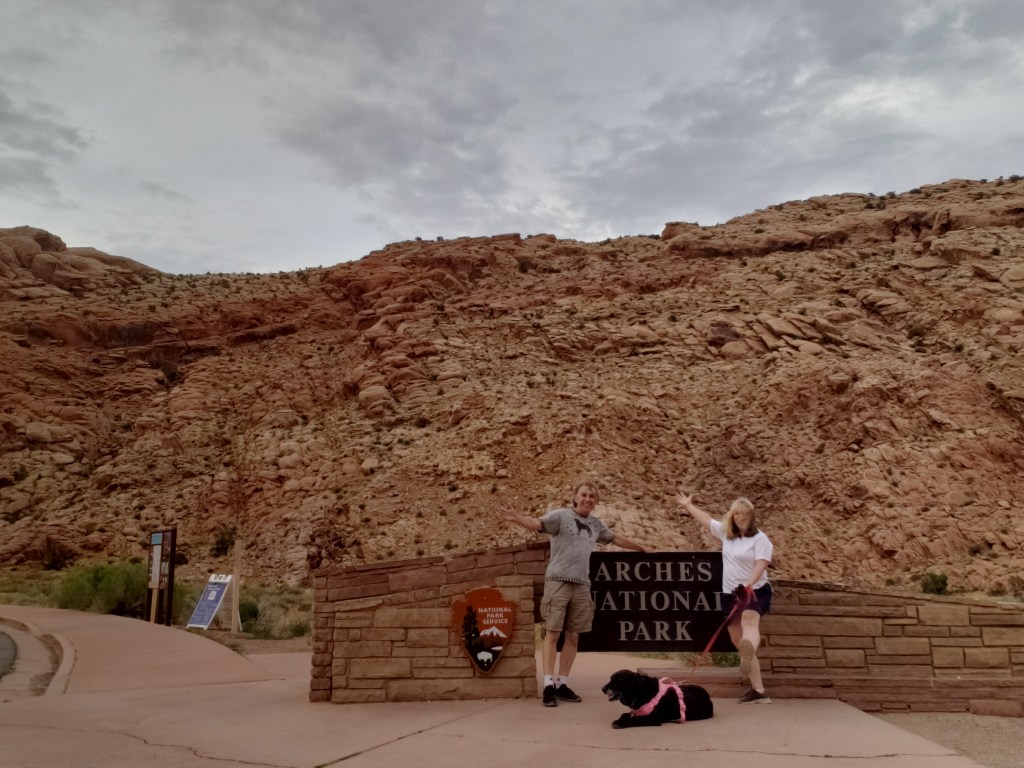
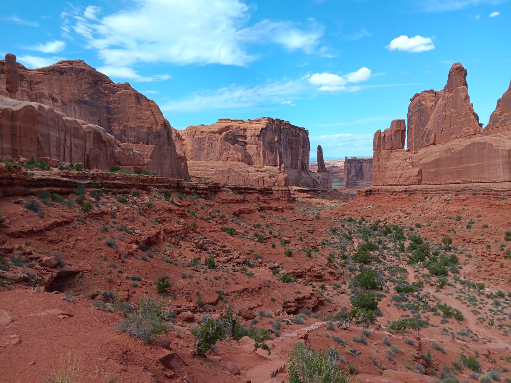
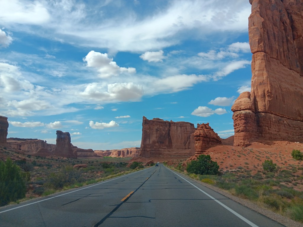
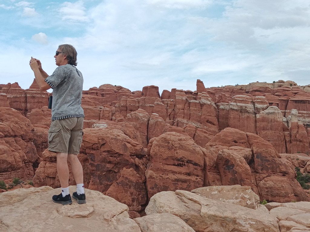
When our Arches timed entry arrived, we made the winding trip up to the plateau from which the park’s features could be seen. We’ll leave you to enjoy the highlights…

This is taken from about 500+ feet above the bottom of this little canyon. You can just make out a lighter-colored hiking trail leading down to the bottom.


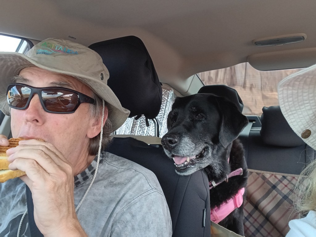
We stopped for a bite of lunch with a view. Two of us were happy. One of us was not.

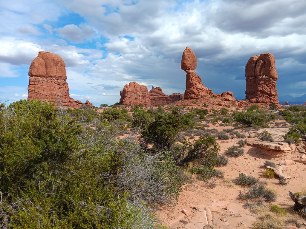
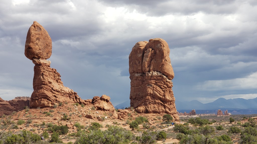
This famous formation is Balancing Rock. It’s near-neighbor, Chip (as in, Chip off the ol’ block) toppled over in 1974.

The broken “pedestal” to the right of Balancing Rock is where Chip used to be.

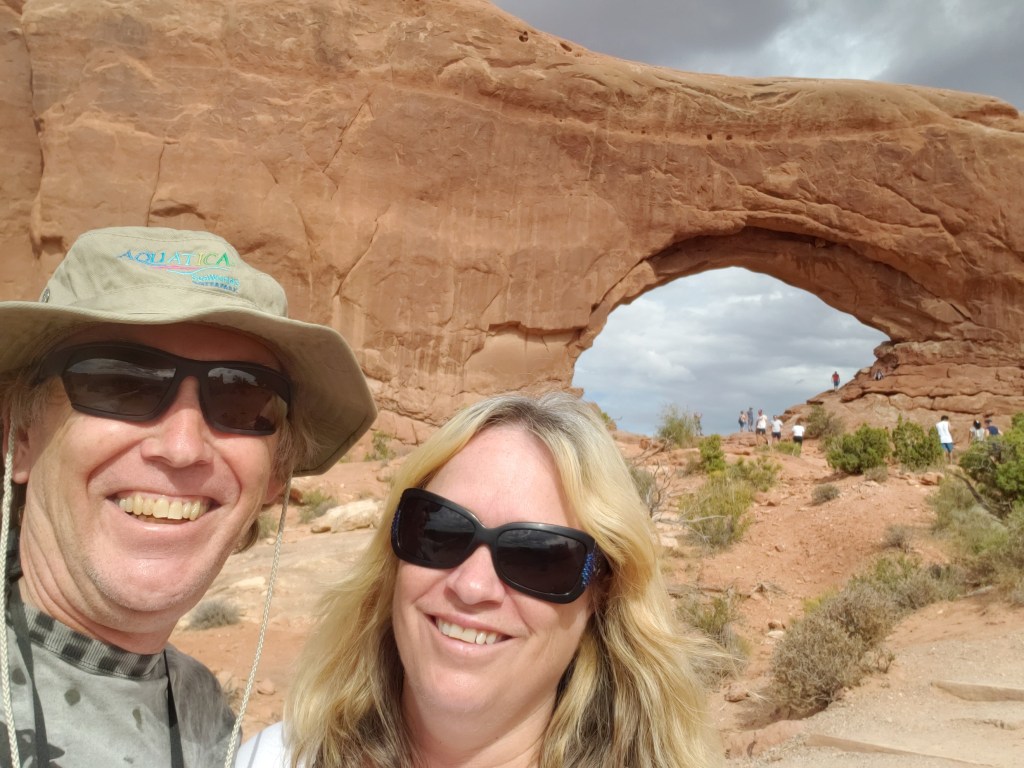
We did make the long, hot, uphill walk to the arch. Here, we’re just starting to wear out.

There are signs everywhere telling people to stay off the delicate sandstone. Naturally, that rule doesn’t apply to SOME people, like those nature-wreckers on the far right side of the inner arch. Don’t be them!


Because he can’t help himself.

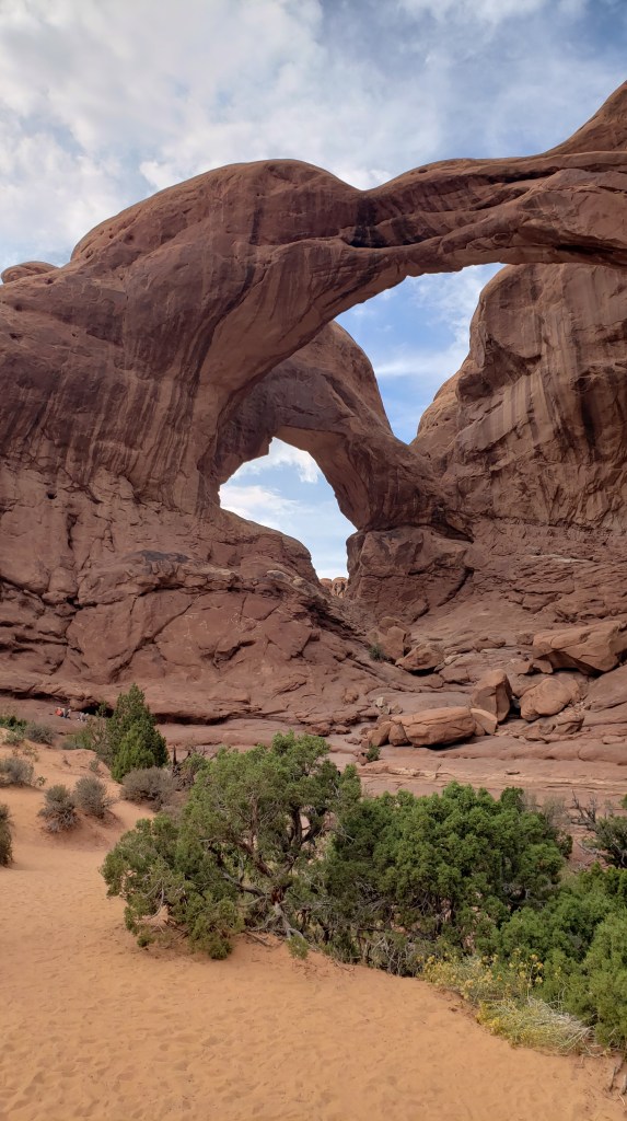
This is Double Arch. It looks pretty big from here, but…

…it’s huge. You probably can’t see them in the photo, but there are people climbing on the rocks inside the arches. That’s how big it is.


We spent a long time in the park, doing little hikes and marveling at the immensity of it all. But something even more immense was on our radar, if we could just make it happen.

A Year On The Road: The 4-Month Map

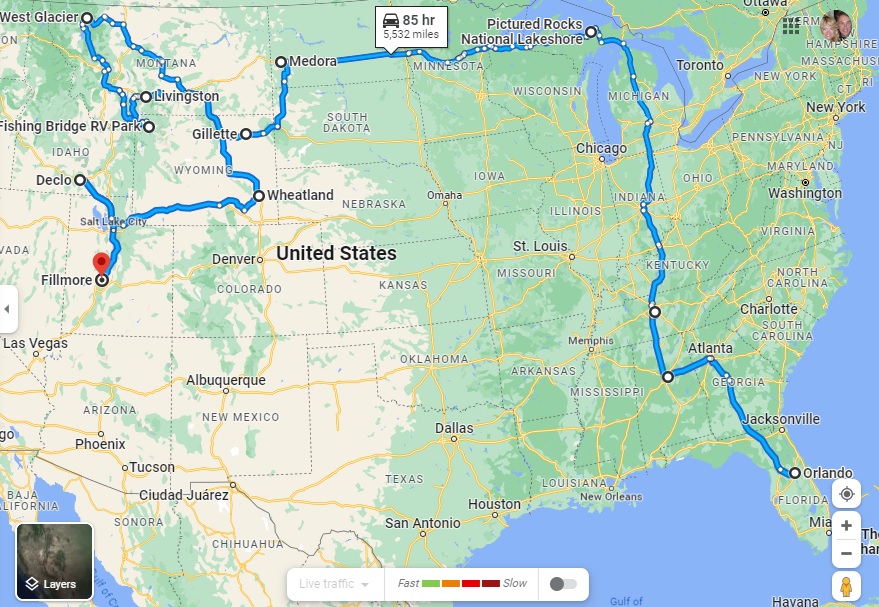
Highlighting our fourth month on the road and the route so far – all 5,929 miles of it

After three months of fairly hectic traveling, our four-month mark shows that we have come the shortest distance for any month of the grand RV trip to date, from Wheatland in Wyoming to Fillmore in Utah (via what looks like a strange detour to Declo in Idaho, but which was the best way to see some of Idaho without putting too many miles on our RV).

Our mileage for Month Four was therefore just 868 miles, compared to 1,318 last month, 1,239 in Month Two and a whirlwind 2,504 in the opening month.

The total distance in Indefatigable (or Fati for short) since we left Orlando is now 5,929 miles.

The slower pace has been deliberate, of course. We realized that we were trying to pack too much in to this crazy 10-wheeled adventure and we have purposely changed both our itinerary and our pace of travel to avoid the mental and physical breakdowns we experienced in the first two months.

The key has been to identify an area that allows us to explore in multiple directions for a week or so, and then use our tow car, Nippy, to do more of the exploration.

To that end, we have actually gone an additional 9,621 miles in Nippy in those four months, almost 3,000 of them in the past month alone. That total includes a spur-of-the-moment trip into Canada from Montana, our overnight excursion to Rocky Mountain State Park in Colorado and an extensive day trip to the Flaming Gorge in Utah, both from Wyoming.

Our total mileage for the trip so far is therefore a whopping 15,550, or 3,887.5 a month!

The next month could see us top that record for Nippy, too, as we plan on basing ourselves in southern Nevada for trips into Southern California. As ever, this is an – ahem – moveable feast, but you can be sure to read all about it here!